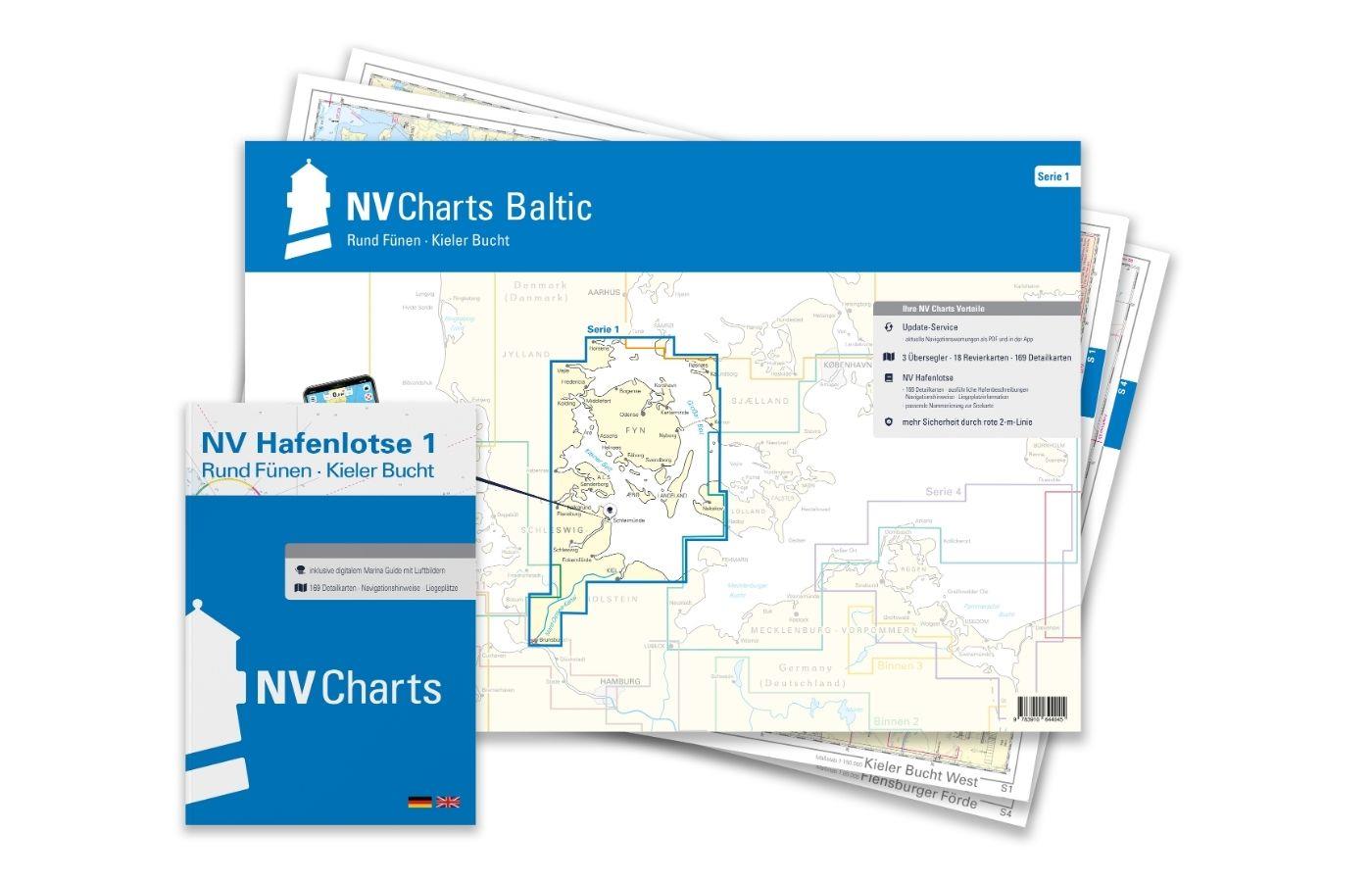
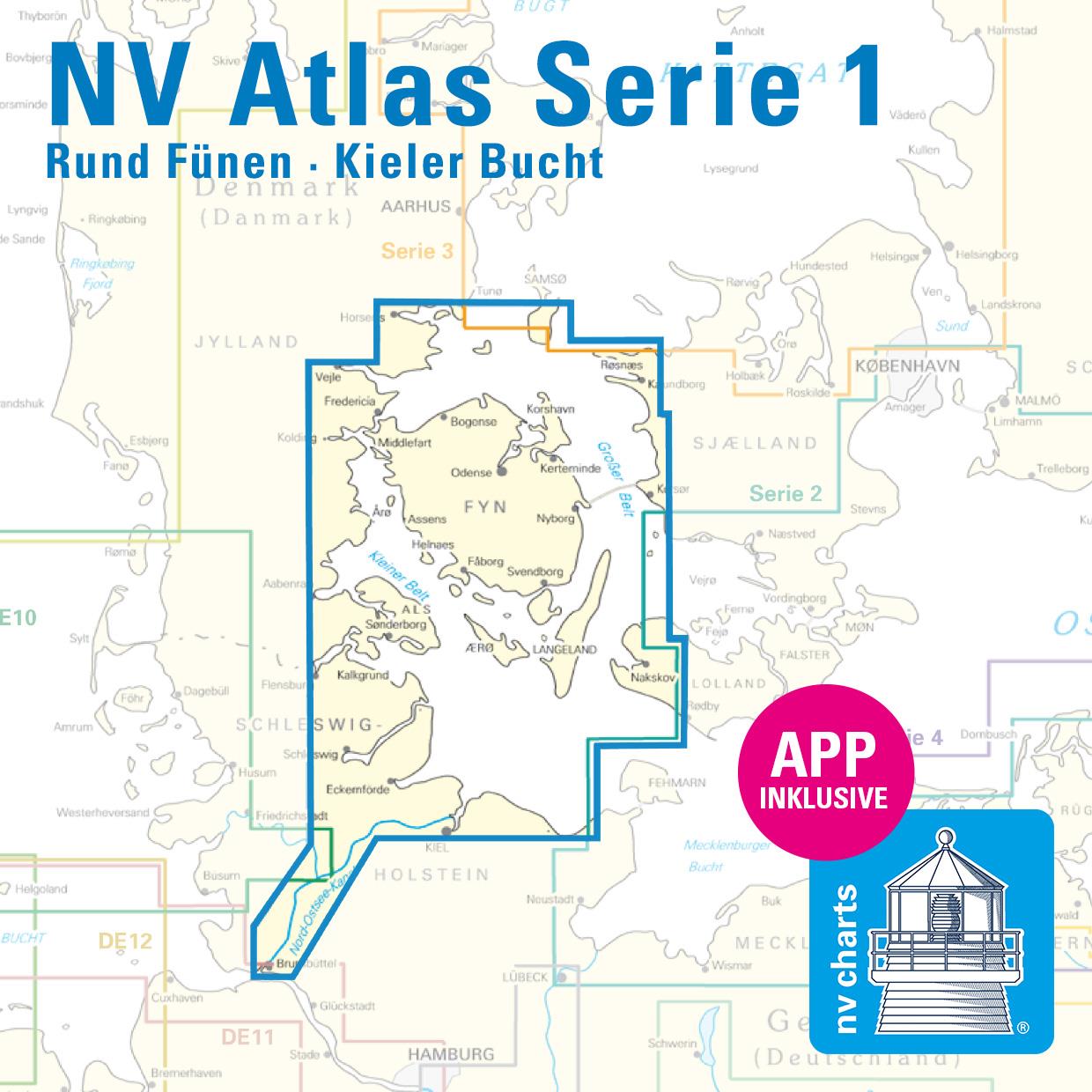
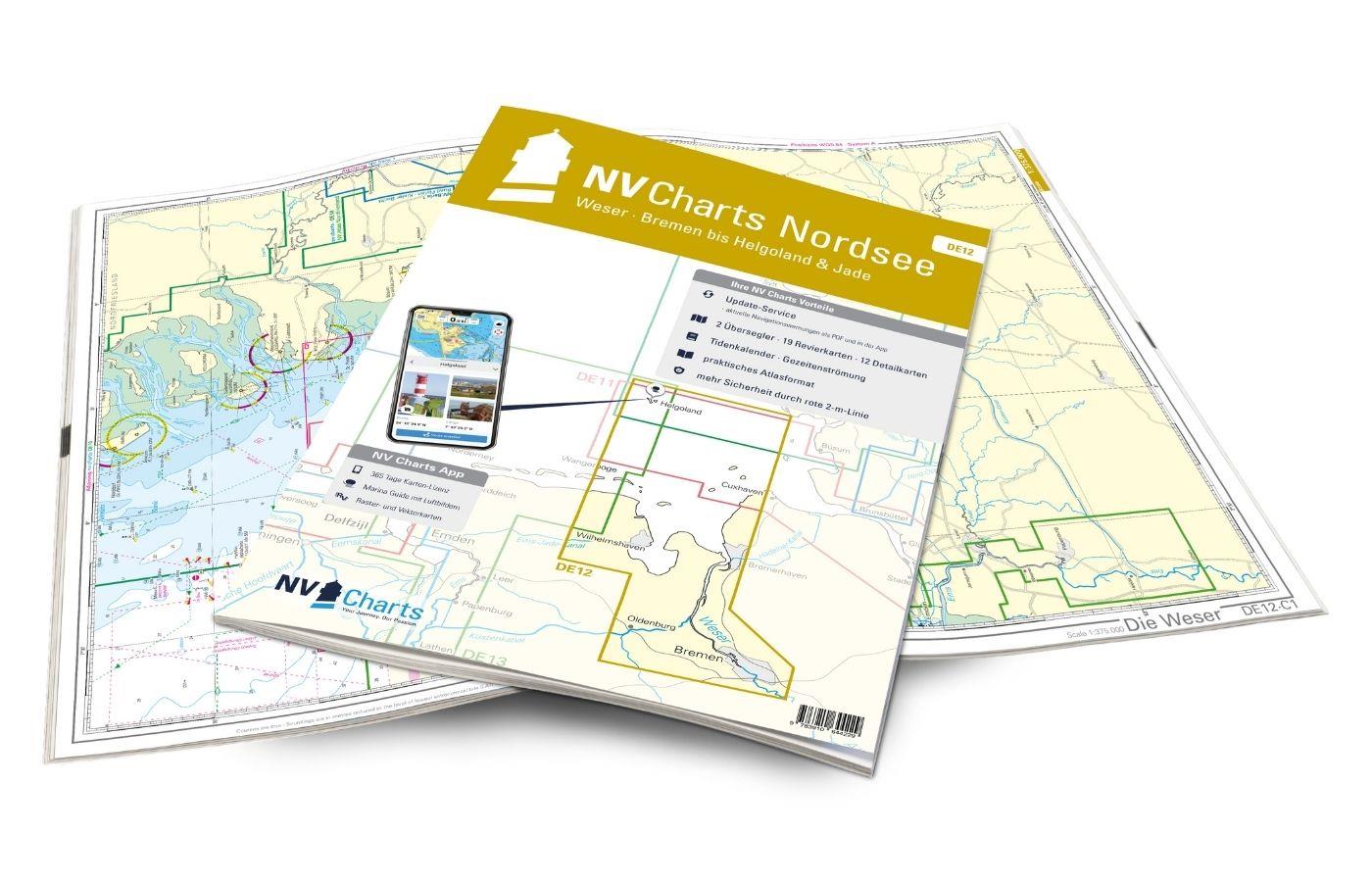
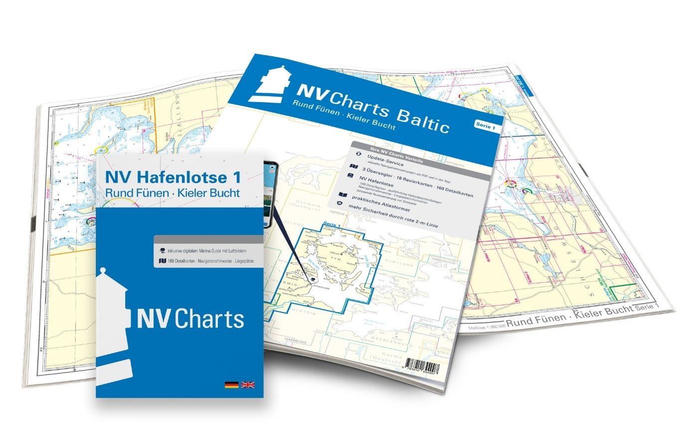
NV Charts Baltic Plano Series 1, Round Funen-Kiel Bay
€94.99*
Description
The NV Plano Series 1 for the Baltic Sea Round Fünen to Kiel Bay is a chart series specially designed for recreational boating. It contains the nautical charts in various sizes, as well as all harbour plans and details for approaches and passages in the waters. In addition, there are also passageways for bridges, high-voltage power lines, etc., as well as all necessary nautical and navigational information.
Thanks to the clear layout, the recreational skipper can quickly find approaches, harbours and anchorages and is made aware of navigationally important details that also appear in the NV Charts app. The chart series impresses with its detailed dimensions and optimised sheet sections.
Regions overview
The NV Atlas Series 1 accompanies you from the Bay of Kiel via the Bay of Eckernförder directly into the Schlei with its beautiful little harbours and sheltered anchorages and on into the Danish Sea and Rund Fünen. For many people, the Schlei and Kiel Fjord are the starting point for a relaxing day trip to the Danish Sea with its small islands and beautiful harbours. The Flensburg Fjord with its Ox Islands and Alssund are among the destinations that round off this breathtaking landscape. Many water sports enthusiasts are drawn to the harbours and anchorages around Fünen, and not just for the summer holidays.
If you are drawn further north, Series 1 can be extended to include Series 3 (Kattegat) and Series 5.1 and 5.2 (south-west Sweden to the Norwegian border). In addition, the harbour guide 6 with its fantastic aerial photographs, depth information and almost all harbours in the region should not be missed.
This map set includes
- 3 &sailors
- 18 district maps
- 169 detailed maps
- including Schlei to Schleswig and Kiel Canal
- Digital charts for navigation programme and NV Charts app 356-day licence
- new: vector map download
- Harbour pilot in paper / digital in German and English
- Navigation instructions in German
- Fulfils the legal requirements for current paper charts on board recreational craft
All advantages at a glance
- Always up-to-date: Updated edition every year, monthly correction service from April to October
- NV Charts App: including access code to the digital nautical charts of the purchased area in the NV Charts app with 365-day licence, for offline navigation with the app on iOS, Android, PC, Mac or in the web browser, comprehensive harbour manual
- Extremely detailed: Nautical charts based on data from official surveys and own surveys, particularly detailed outside the main fairways
- Optimised for recreational boating
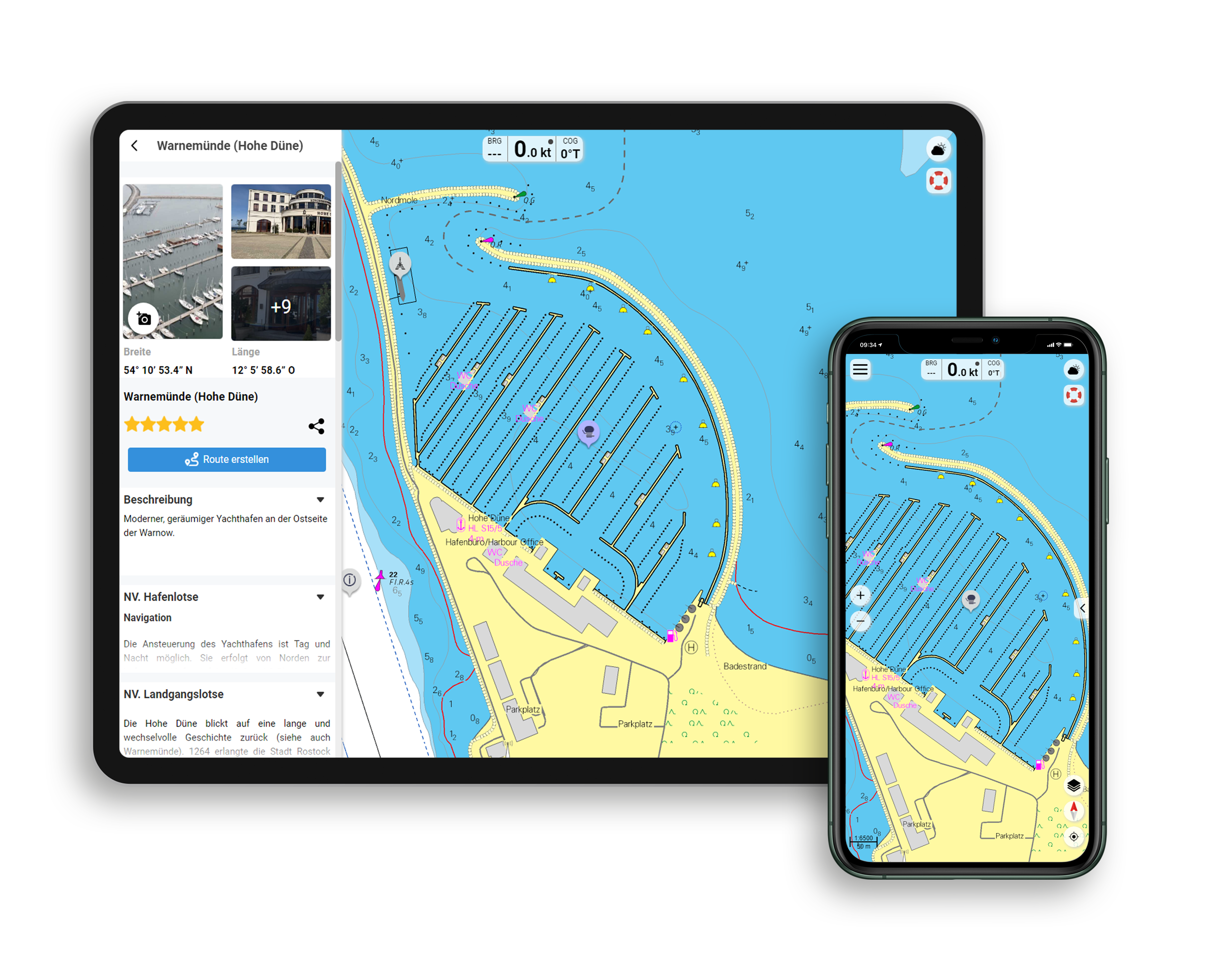
Functions of the NV Charts app
- Flexible autorouting
- Satellite overlay
- Augmented reality
- VMG (Velocity Made Good)
- BoatView harbour guide
- Track recording
- AIS connection and much more.
Charts and measures included
Übersegler
Pilot chart series 1 1 : 750,000, S 1 Bay of Kiel West 1 : 150,000, S 1A Bay of Kiel East 1 : 150,000
District maps
S 2 Kieler Förde 1 : 40,000, S 3 Kieler Bucht Süd-West 1 : 80,000, S 4 Flensburger Förde 1 : 80,000, S 5 Kleiner Belt Süd 1 : 80,000, S 6 Kleiner Belt Mitte 1 : 80,000, S 7 Kleiner Belt Nord 1 : 80,000, S 8 Nord Fünen West 1 : 80. 000, S 8A Nord Fünen Ost 1 : 80,000, S 9 Großer Belt Nord 1 : 80,000, S 10 Großer Belt Mitte 1 : 80,000, S 11 Großer Belt Süd 1 : 80,000, S 12 Süd Fünen 1 : 80,000, Schlei 1 + 2 1 : 35,000, NOK Nord-Ostsee-Kanal 1 + 2 (4 charts) 1 : 55,000
Detailed maps
S 4A Inner Flensburg Fjord 1 : 35,000, S 6A Alssund & Augustenborg Fjord 1 : 25,000, S 7A Snævringen & Kolding Fjord 1 : 40,000, S 8B Odense & Haderslev Fjord 1 : 35,000, 1 : 42. 000, S 10A Approaches Great Belt Bridge 1 : 30,000, S 12A Svendborg Sund 1 : 18,000, S 12B Approaches Fåborg / Rudkøbing Løb & Marstal 1 : 33,000, S 12C Nakskov Fjord & Inner Eckernförde Bay 1 : 30,000
| App License: | NV Charts App |
|---|---|
| Empfehlung: | Revierempfehlung Deutsche Ostseeküste |
| Format: | Plano & Einzelkarten |
| Purchase type: | One-time |
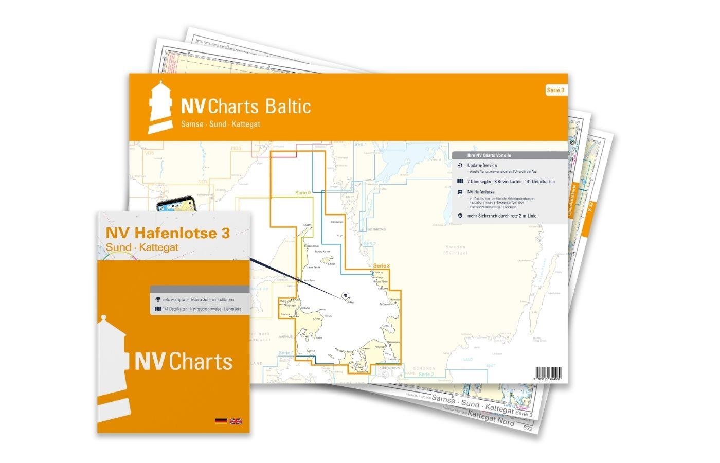
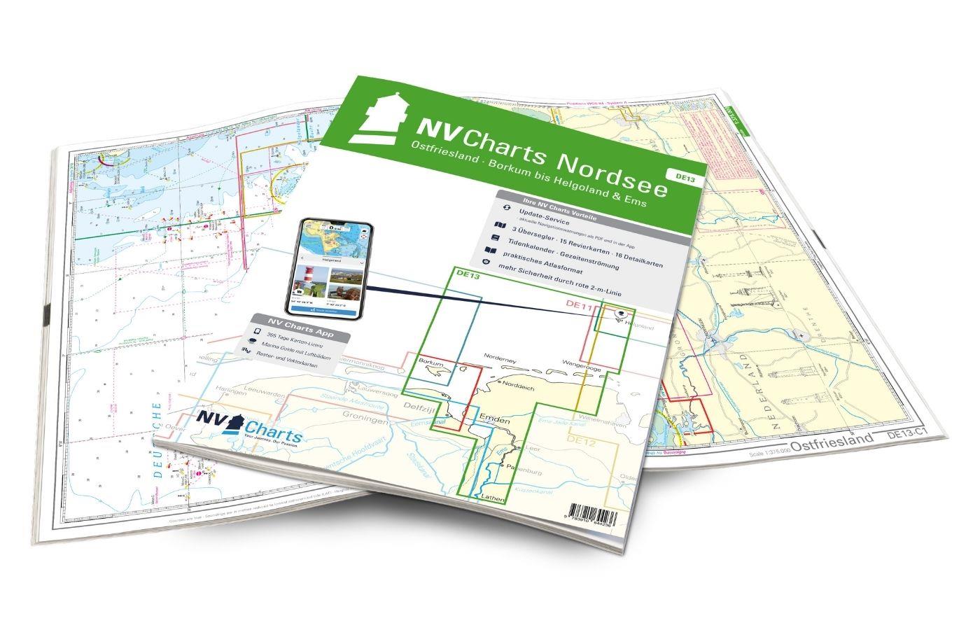
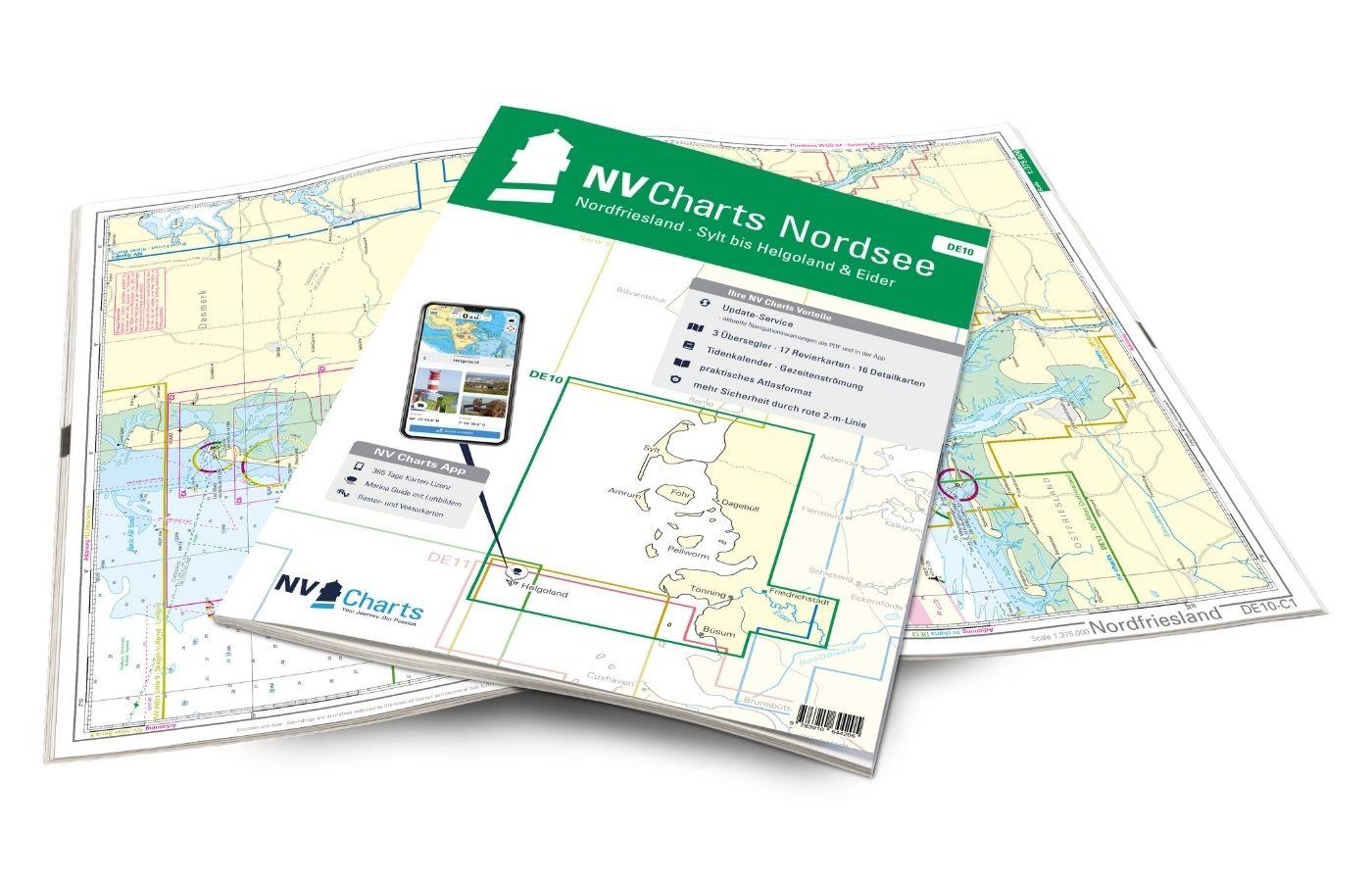
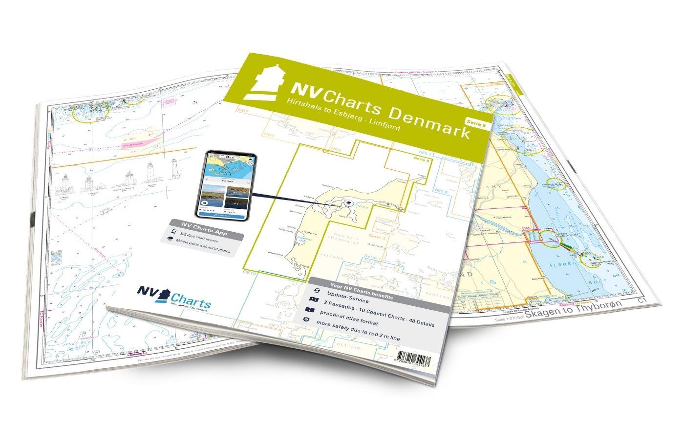
With the help of our area preview, you can get an impression of which geographical region the product deals with or which areas a nautical chart covers.
Related products to this item
Products near this article
Reviews
Login

