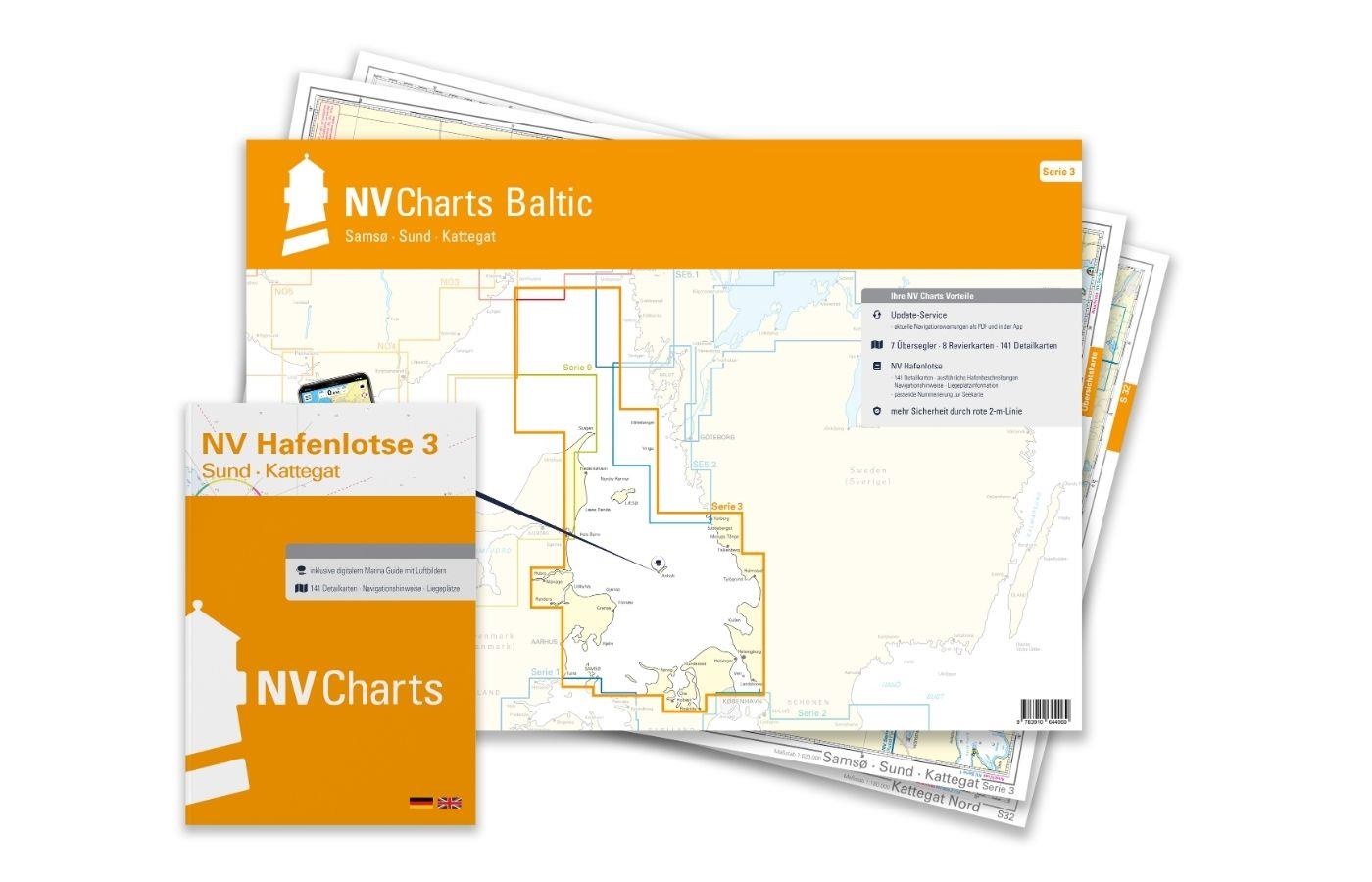
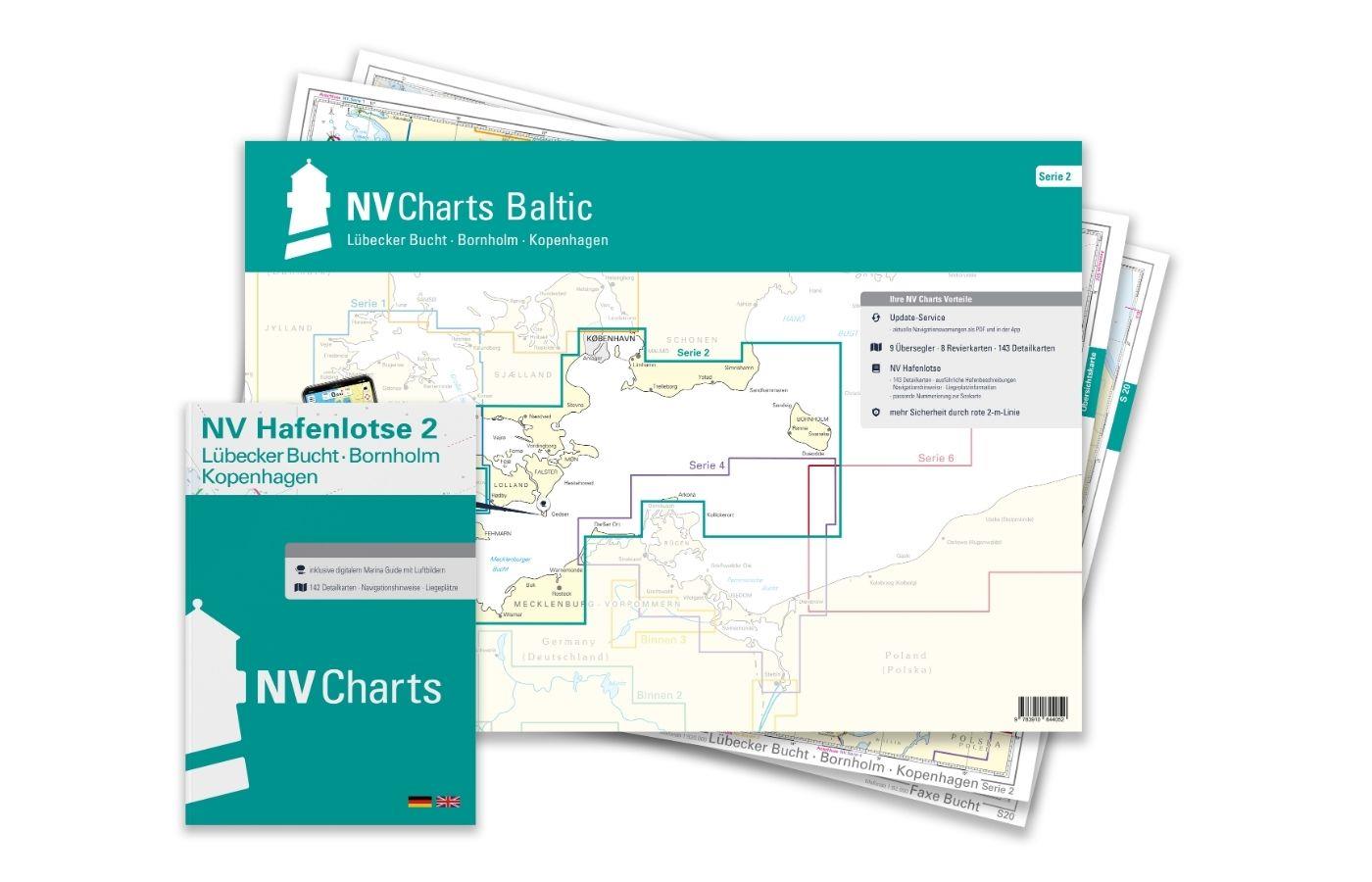
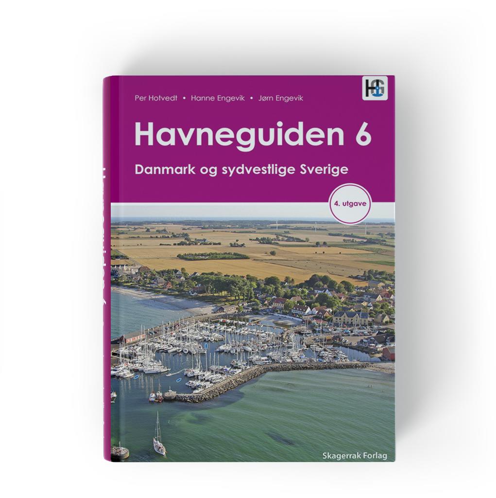
NV Charts Baltic Serie 3 Plano - East Denmark Single-Charts
€74.99*
Description
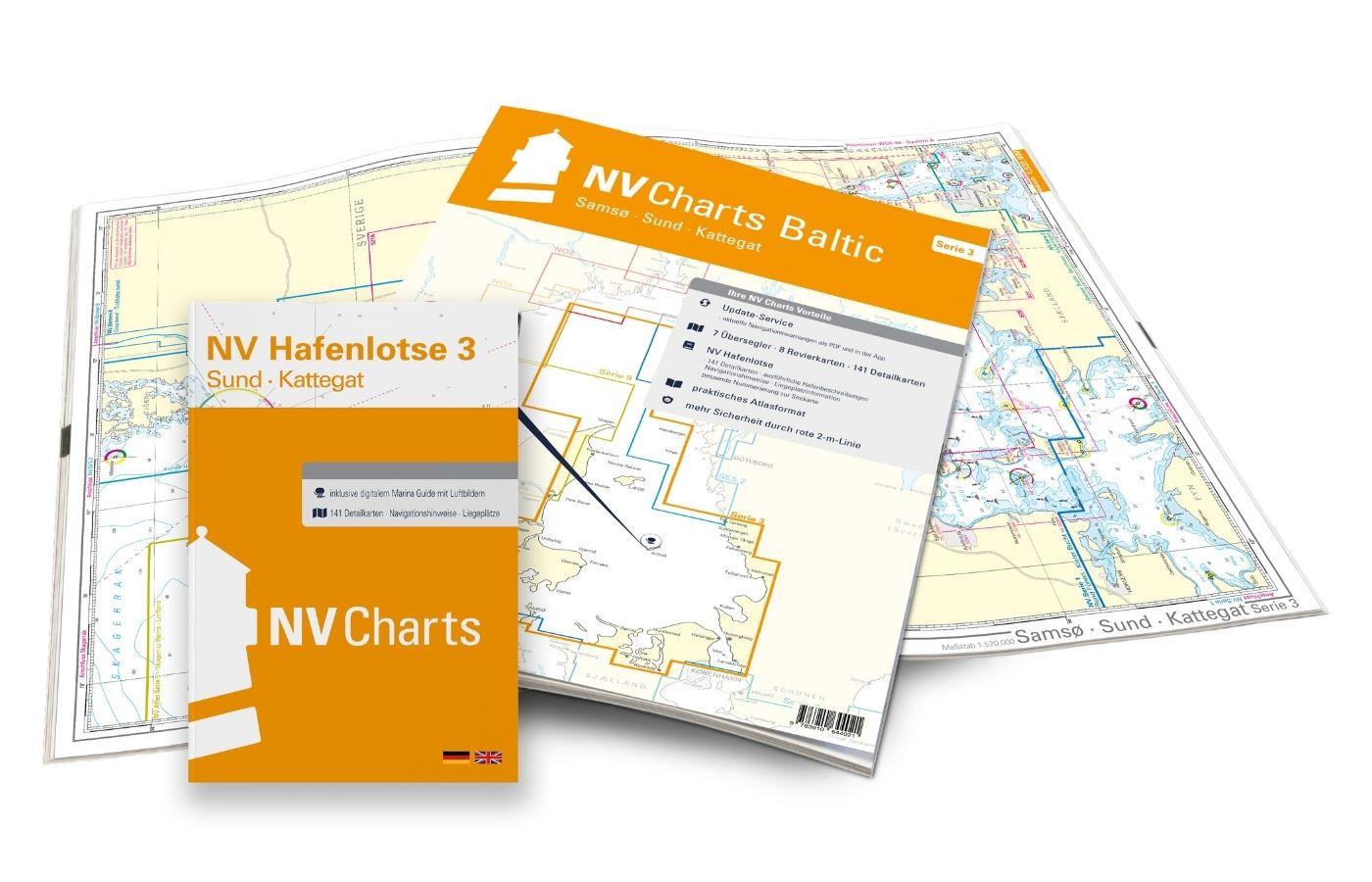
The NV Charts Baltic Series 3 Plano for the sea area Samsø - Sund - Kattegat is a chart series specially designed for recreational boating. It contains the nautical charts in various sizes, as well as all harbor plans and details for approaches and passages in the waters. In addition, it includes passageways for bridges, high-voltage power lines, etc., as well as all the necessary nautical and navigational information. Thanks to the clear layout, the recreational skipper can quickly find approaches, harbors and anchorages and is made aware of navigationally important details that also appear in the NV Charts app. The chart series impresses with its optimal dimensions and balanced sheet sections.
Regions overview
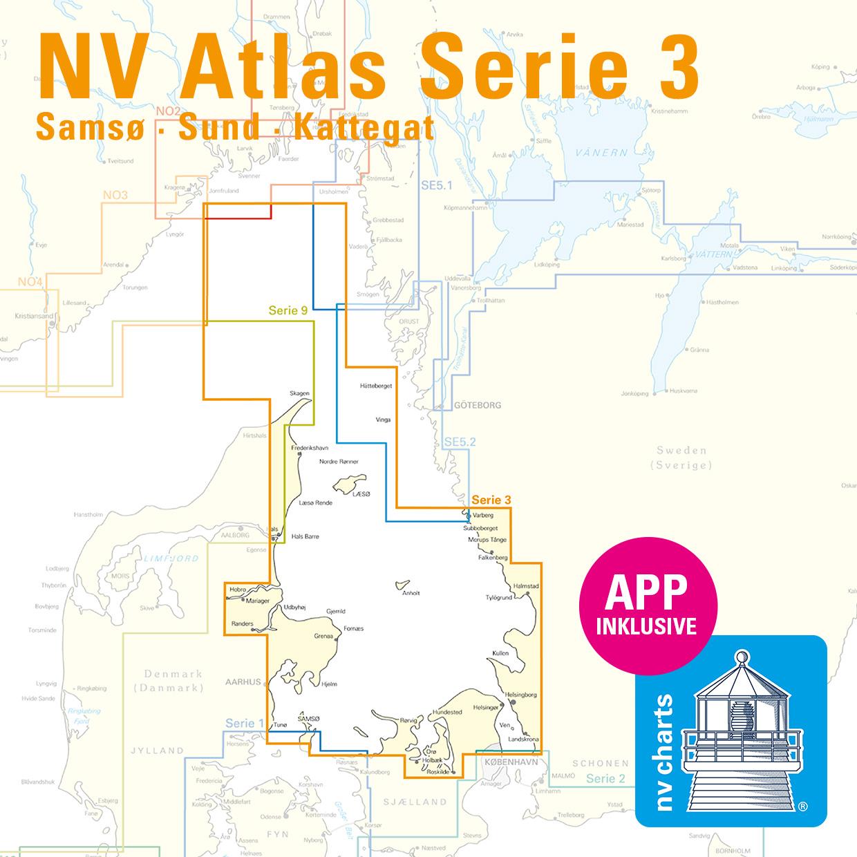
As a continuation of the popular series 1 and 2, NV Charts offers the NV Charts Baltic series 3. North of Copenhagen - where harbors and beautiful places are lined up and the distance between Denmark and Sweden is the shortest - this nautical chart set takes you along the Swedish west coast via Göteborg through the Kattegat to Skagen. You have the option of sailing via Aalborg Bay directly into the Limfjord towards the North Sea. Or simply visit the beautiful Kattegat islands of Läso, Anholt and Samsö.
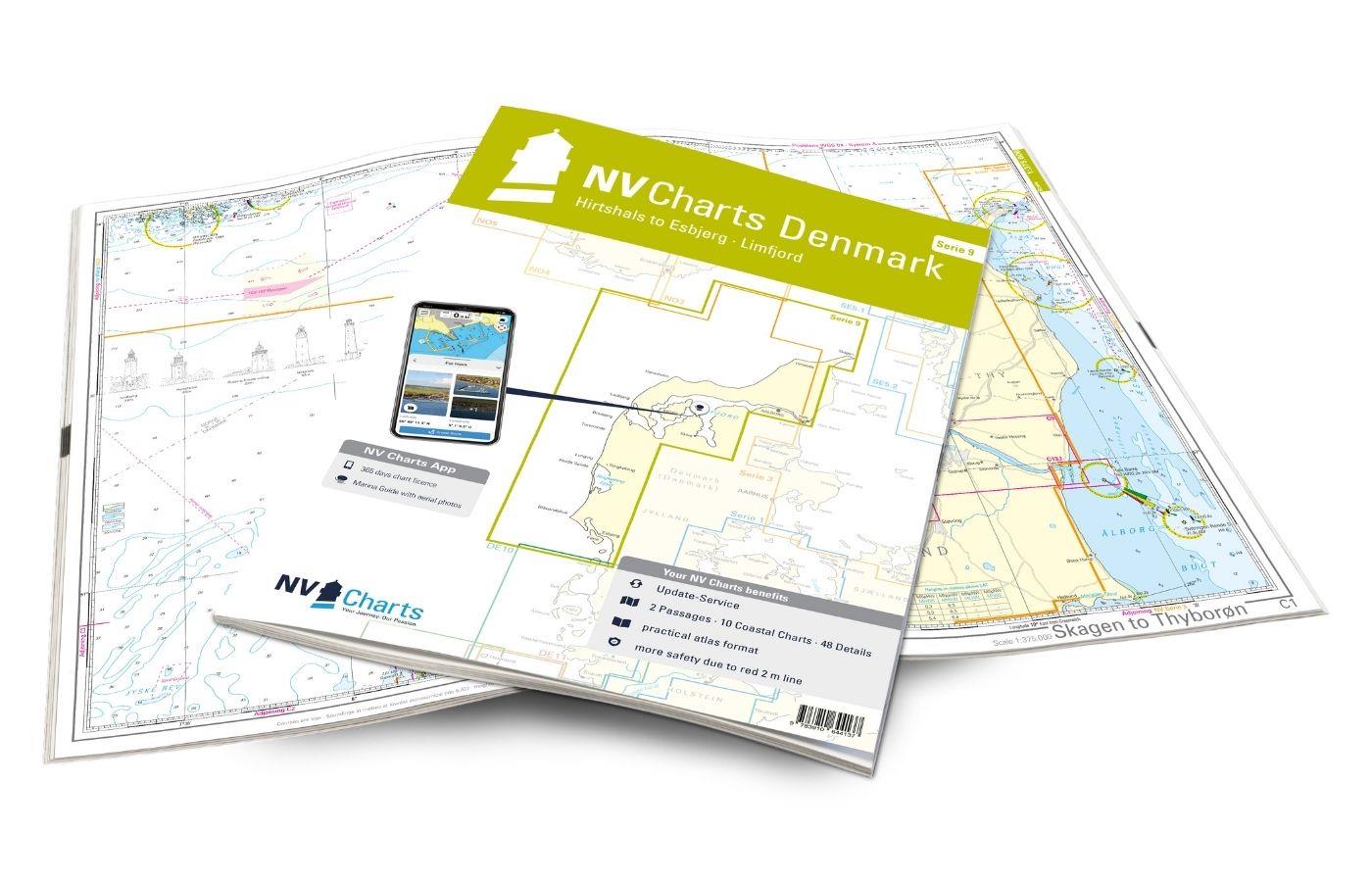
As a supplement to this chart set, we recommend the NV Charts Denmark Series 9, which takes you directly and safely through the Limfjord into the North Sea, or the two Swedish chart sets NV Charts Sverige 5.2 and 5.1, which take you along the entire Swedish west coast to the beginning of the Oslo Fjord.
This map set includes
- 7 oversailors
- 8 territory maps
- 141 detailed maps
- Digital charts for navigation program and NV Charts App 356-day license
- new: vector map download
- Harbor pilot in paper / digital in German and English
- Shore leave pilot digital
- Aerial images of the German and Danish coasts digital
- Navigation instructions in German
- Meets the legal requirements for current paper charts on board recreational craft
All advantages at a glance
- Always up-to-date: Updated edition every year, monthly correction service from April to October
- NV Charts App: including access code to the digital nautical charts of the purchased area in the NV Charts app with 365-day license, for offline navigation with the app on iOS, Android, PC, Mac or in the web browser, comprehensive port manual
- Extremely detailed: Nautical charts based on data from official surveys and own surveys, particularly detailed outside the main fairways
- Optimized for recreational boating
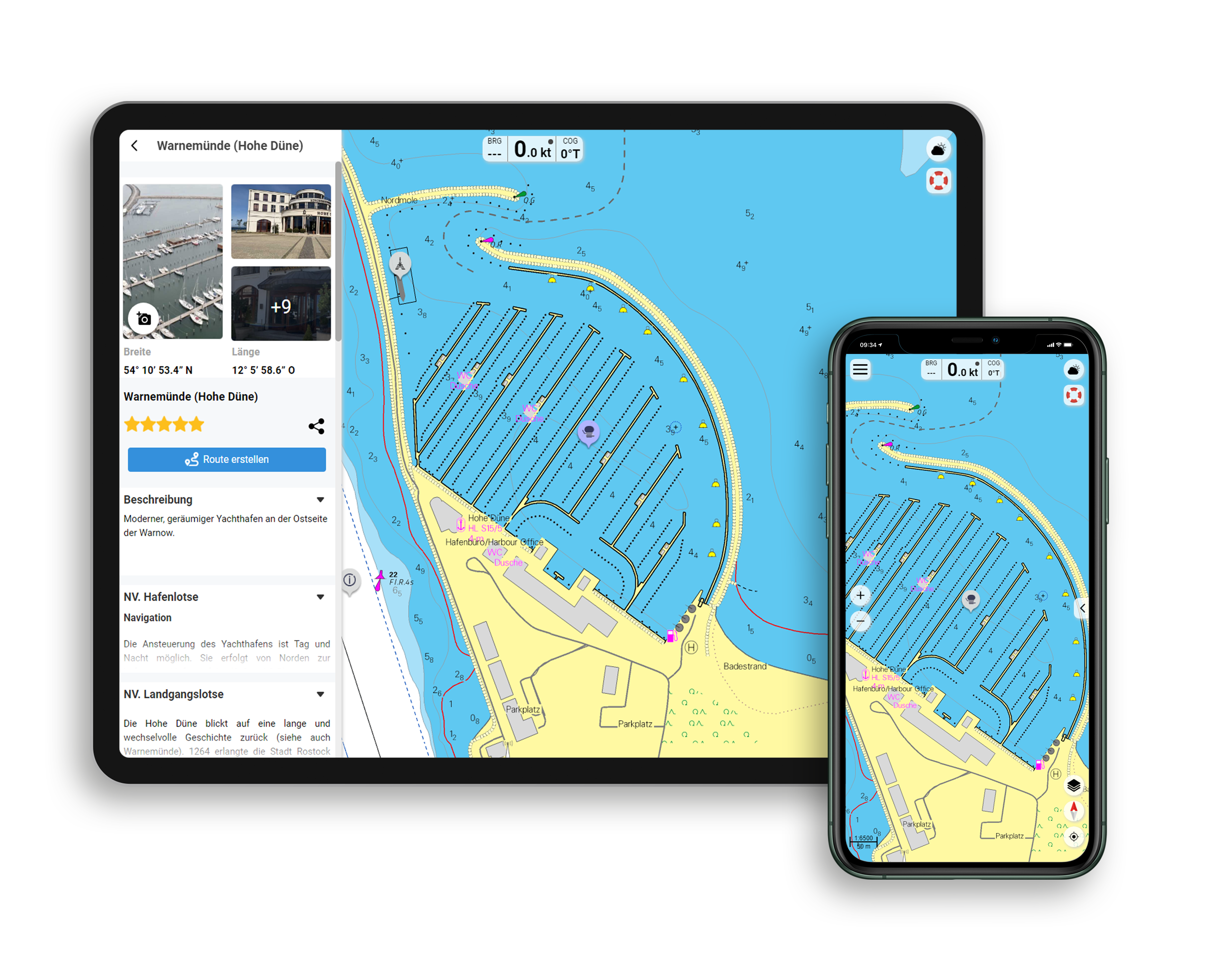
Functions of the NV Charts app
- Flexible autorouting
- Satellite overlay
- Augmented reality
- VMG (Velocity Made Good)
- BoatView harbor guide
- Track recording
- AIS connection and much more.
Charts and measures included
Oversailors
Übersichtskarte Serie 3 1 : 520.000 , Skagerrak 1 : 520.000 , S 30 Kattegat Südwest 1 : 200.000 , S 30A Kattegat Südost 1 : 200.000 , S 31 Kattegat Mitte West 1 : 200.000 , S 31A Kattegat Mitte Ost 1 : 200.000 , S 32 Kattegat Nord 1 : 180.000
District maps
S 26 Sund Nord 1 : 80,000 , S 27 Isefjord 1 : 65,000 , S 27A Roskilde Fjord Nord 1 : 42,000 , S 27B Roskilde Fjord Süd 1 : 42,000 , S 28 Samsø Belt 1 :108,000 , S 29 Aarhus Bay 1 :100,000 , S 34 Randers & Mariager Fjord 1 : 56,000 , S 35 Sund North Approach 1 : 65,000 Detailed maps
Detailed maps
S 26 Helsingør 1 : 25,000 , S 27B Gershøj Selsø Approach 1 : 25,000 , S 33 Frederikshavn Approach 1 : 40,000 , S 33 Frederikshavn 1 : 20,000 , S 33 Hals Approach 1 : 45,000 , S 34 Udbyhøj 1 : 18,000 , S 34 Hadsund Brücke 1 : 16,000 , S 35 Hallands Väderö 1 : 40,000
| App License: | NV Charts App |
|---|---|
| Empfehlung: | Revierempfehlung Dänemark/Ostsee |
| Format: | Plano & Einzelkarten |
| Purchase type: | One-time |
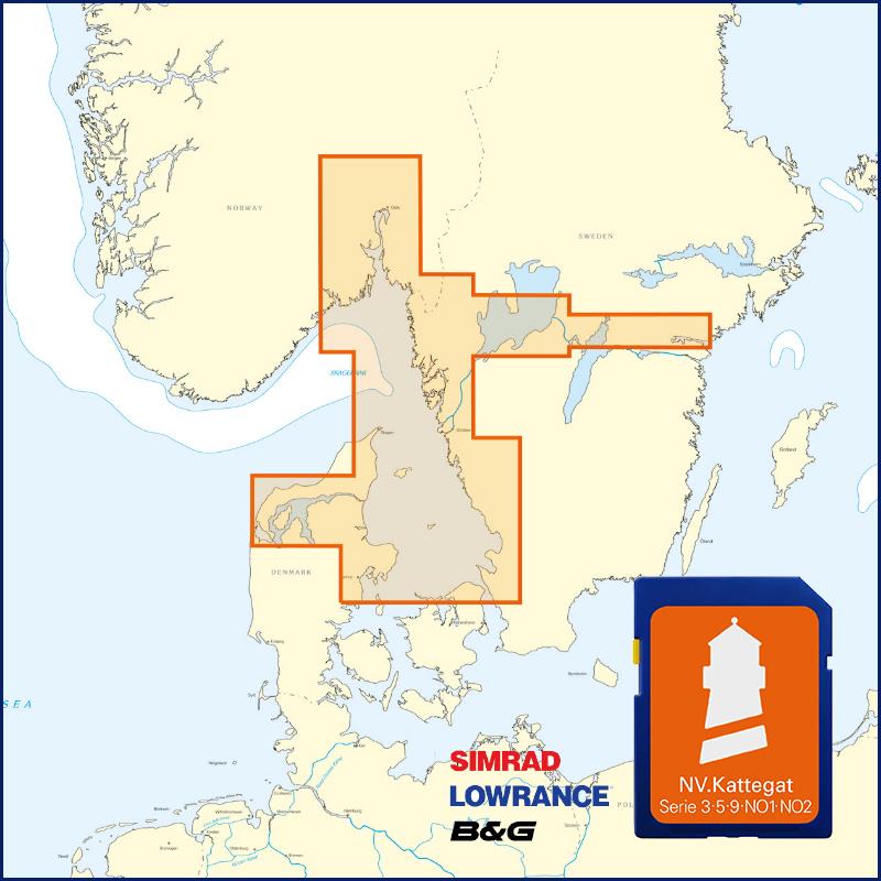
With the help of our area preview, you can get an impression of which geographical region the product deals with or which areas a nautical chart covers.
Related products to this item
Products near this article
Reviews
Login

