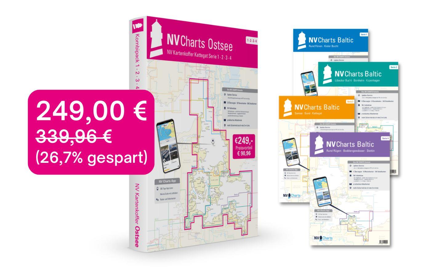
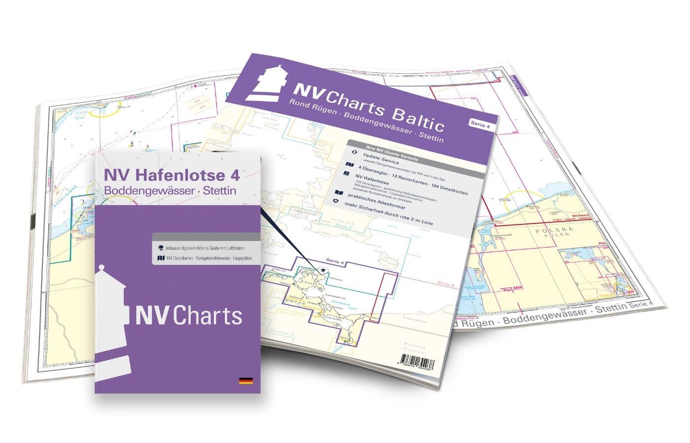
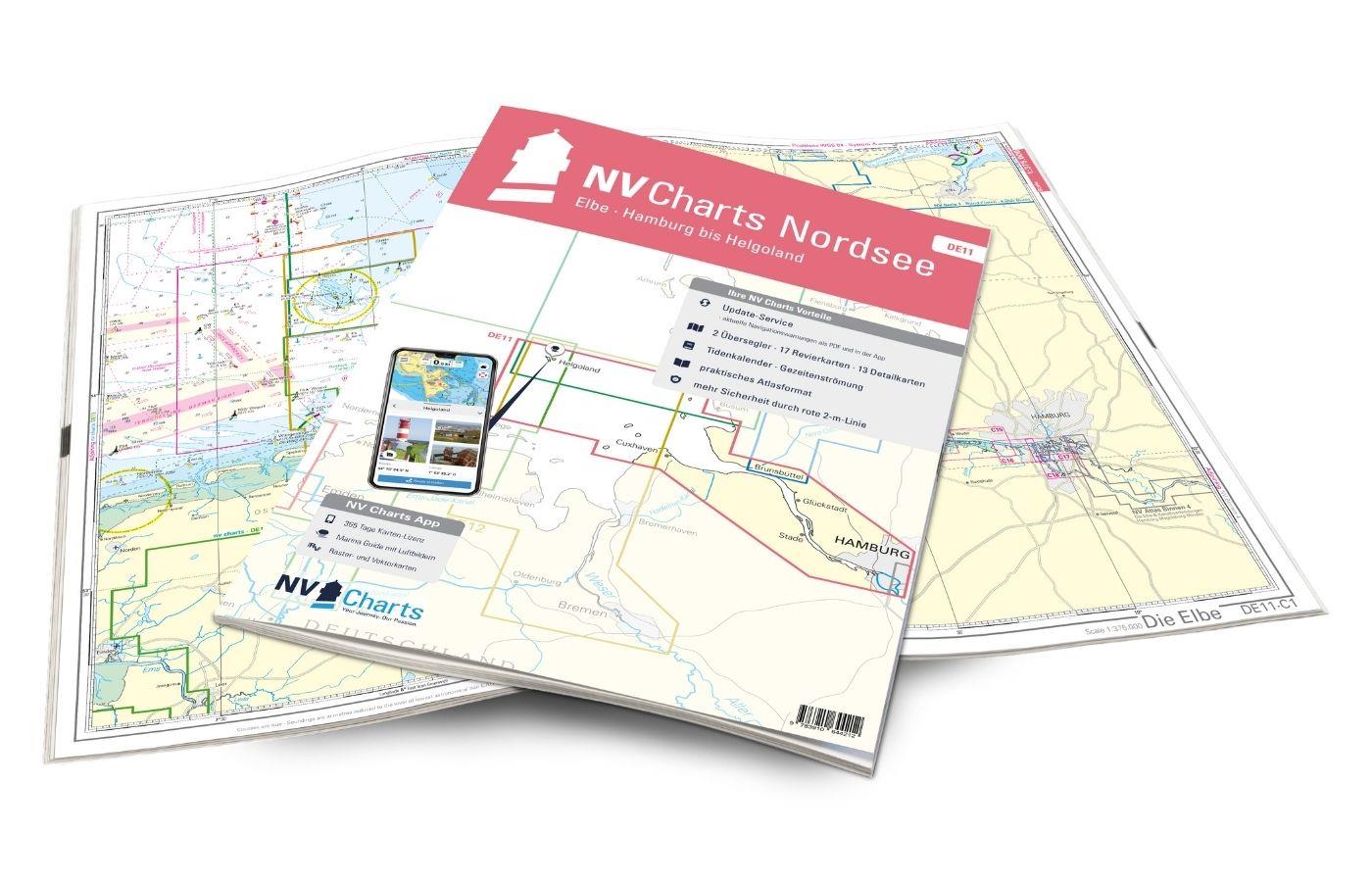
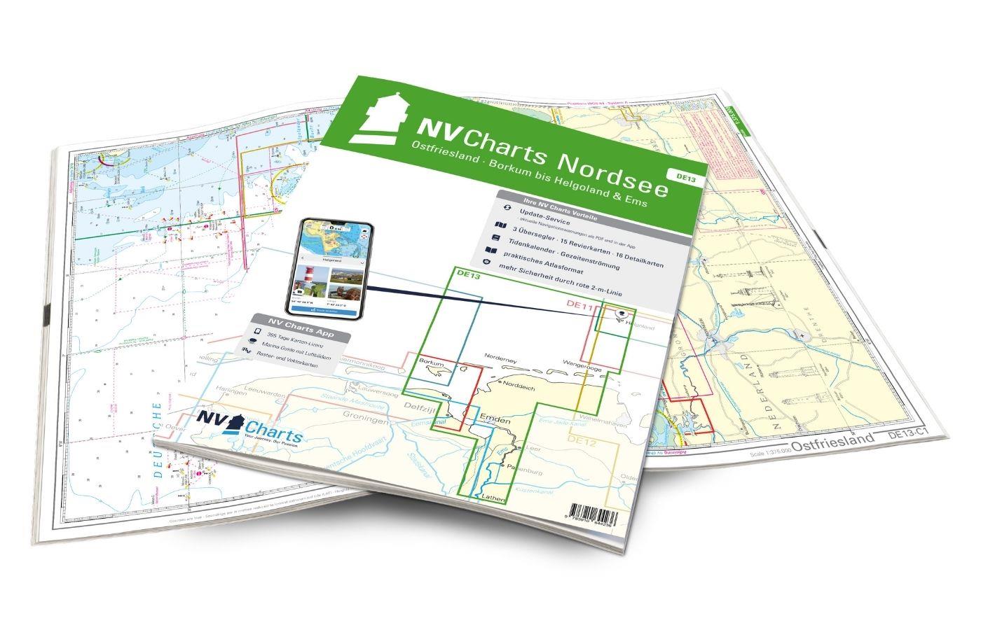
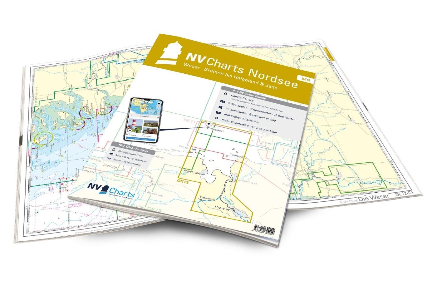
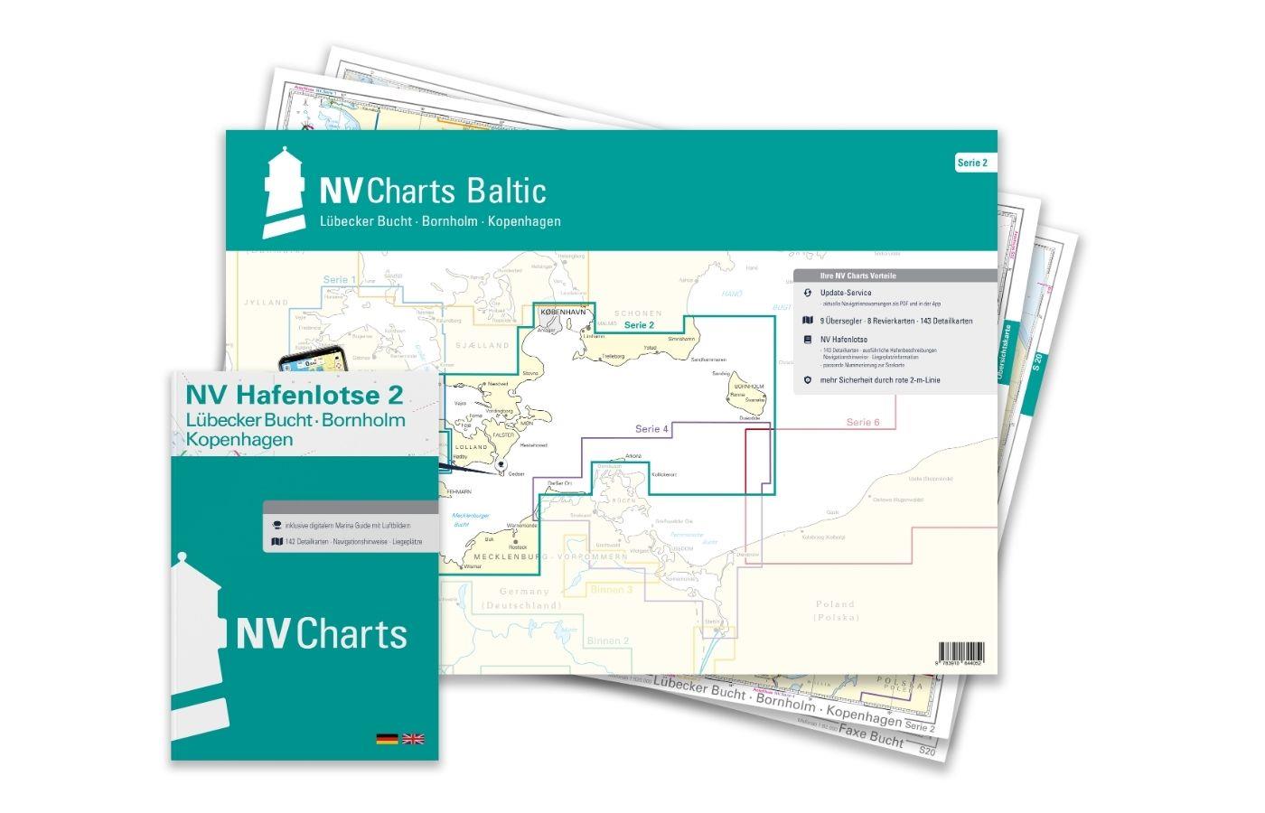
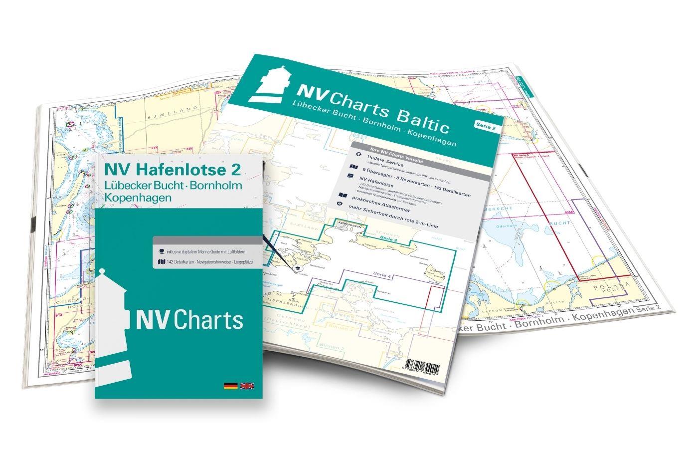
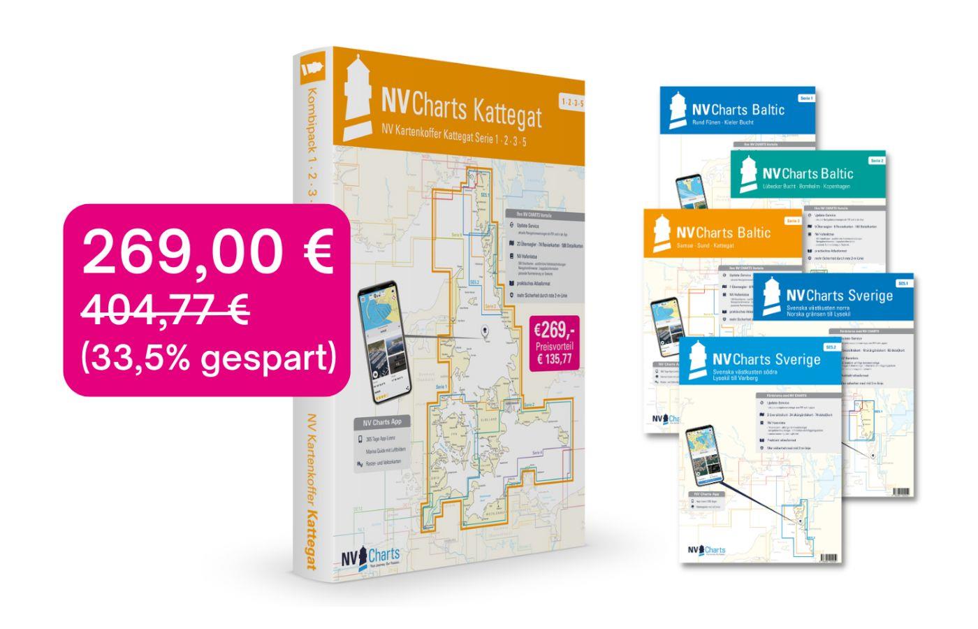
NV Charts Baltic Sea Chart Box incl. Region 1-4
Description
For all those who like to save and whose district is called the German and Danish Baltic Sea. With the Baltic Sea Case Series 1-4 our single map sets are offered to you at a special price of 198.00 EUR. That means you get one series for free. With the case you can concentrate on our most beautiful places on the Baltic Sea for the whole season and have the opportunity to venture into areas you don t even know yet. The cruise from west to east or vice versa can begin.
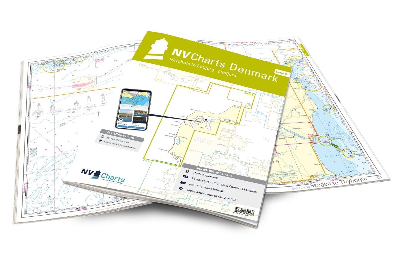
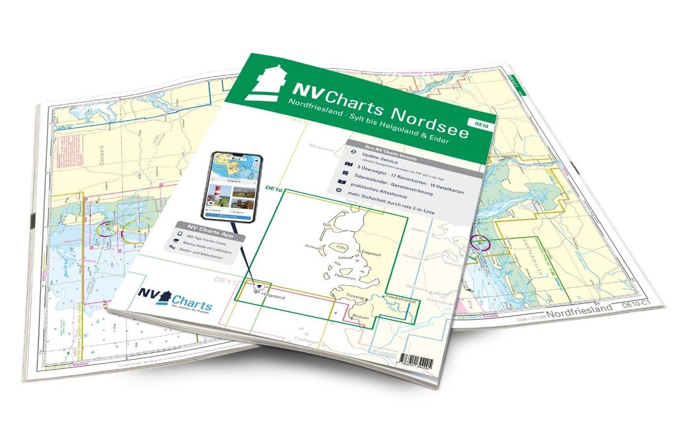
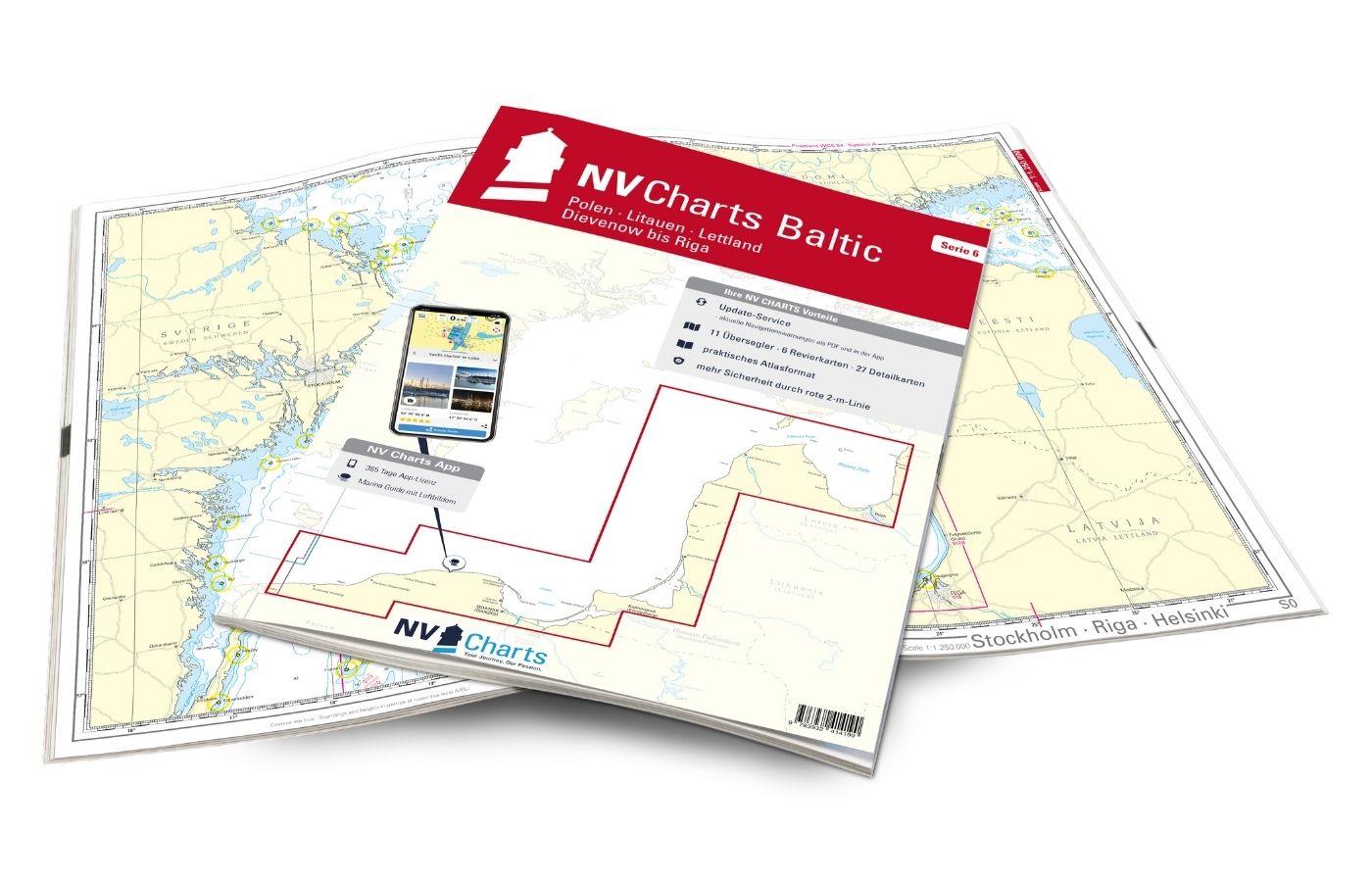
The handy recreational boat charts are a chart series specially designed for recreational boating. Charts for the Baltic Sea sea area include nautical charts in various scales as well as all harbour plans and details for approaches and passages in the waters. In addition clearance heights for bridges power lines etc. as well as all nautical and navigational information are included. Thanks to the clear structure the recreational skipper can quickly find approaches harbours and anchorages and is pointed to navigationally important details that also appear in the NV Charts app. The chart series impresses with its detailed scales and optimal sheet sections.
The Baltic Sea case includes
- 20 Passage Charts
- 42 Coastal Charts & detailed charts
- nv charts app and navigation software 365 days licence
- The Sötze 1-4 in a practical case
- new: Vector charts download
- Harbour pilot in paper / digital in German and English
- Navigation instructions in German
- Meets legal requirement for up-to-date paper charts on board pleasure boats
NV Atlas chart format
NV Charts nautical charts are available in an outstandingly practical, handy atlas booklet format and thus offer many advantages over formats from other manufacturers. The nautical chart series have been designed by nautical experts and passionate water sports enthusiasts with the needs of recreational boating in mind.
The NV Atlas has a very flat staple binding in the middle, so that the course triangle can also be used there without any problems. This innovative development makes it possible to look up charts quickly and always have them in the best possible order at the same scale. The NV Atlas is delivered in a plastic cover protected against splash water. This modern nautical chart format is very popular on sailing boats as well as on motor yachts and is the preferred choice of many of our customers.
NV Charts navigation app
All NV Charts nautical charts also include an access code to the digital nautical charts in the NV Charts app and can thus be easily downloaded. The charts are valid for 365 days from activation and can be used for offline navigation with the NV Charts app on iOS, Android, PC and Mac or also in the web browser.
The NV Charts app is the ideal addition on mobile devices. With the app, you can already plan a detailed route at home and thus prepare for your journey in the best possible way in conjunction with the paper chart. The app is intuitive to use and, thanks to an identical map image, you can orientate yourself on paper and digitally in a matter of seconds. The most up-to-date information is essential to navigate safely on the water with your sailboat or motorboat.
With the NV Charts app, you now have the opportunity to become part of the chart community. You can mark harbours, anchorages and navigation warnings on the digital nautical chart and also add interesting places beyond navigation, such as restaurants, with pictures and comments and share your experiences with other users. In addition, the NV Charts app offers an automatic routing function, search and all navigation functions for GPS navigation with your phone or tablet. More information at: nvcharts.com/app
More PC navigation apps: NV Verlag / NV Charts nautical charts can also be used in many other nv.digital compatible PC navigation programs such as NV Chart Navigator or Open CPN.
Update - Update
For this chart region we offer a monthly update service from April to October to keep you up to date. You will receive a PDF for the correction of the paper charts by email and updates are available for download in the NV Charts App. Digital updates are also available for PC navigation programmes such as Chart Navigator. If you register these charts in the NV Charts App or use the chart in the Chart Navigator the updates will be sent to the email address you use.
Our recommendation
If you want to go further along the Swedish west coast we recommend 5.1 and 5.2 (south-west Sweden up to the Norwegian border). In addition the sailing guide Hafenguide 6 with its fantastic aerial photographs depth information and almost all the harbours in this region is a must. If you are drawn to the eastern Baltic Sea you should definitely have the chart set 1706 (Poland - Lithuania - Latvia) on board.
Charts and scales included
Passage Charts
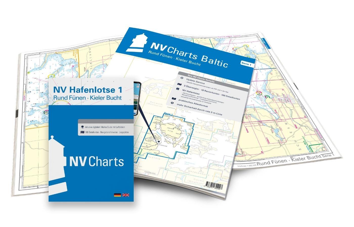
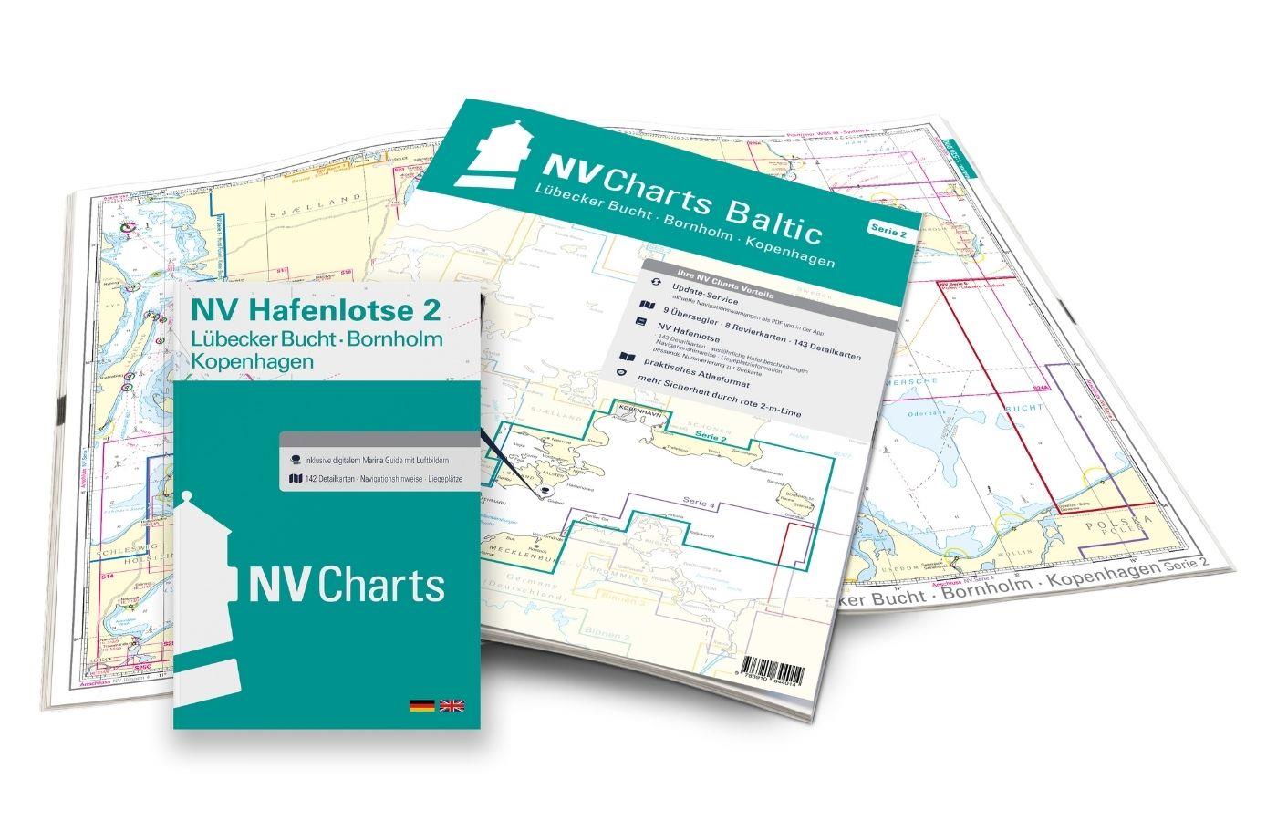
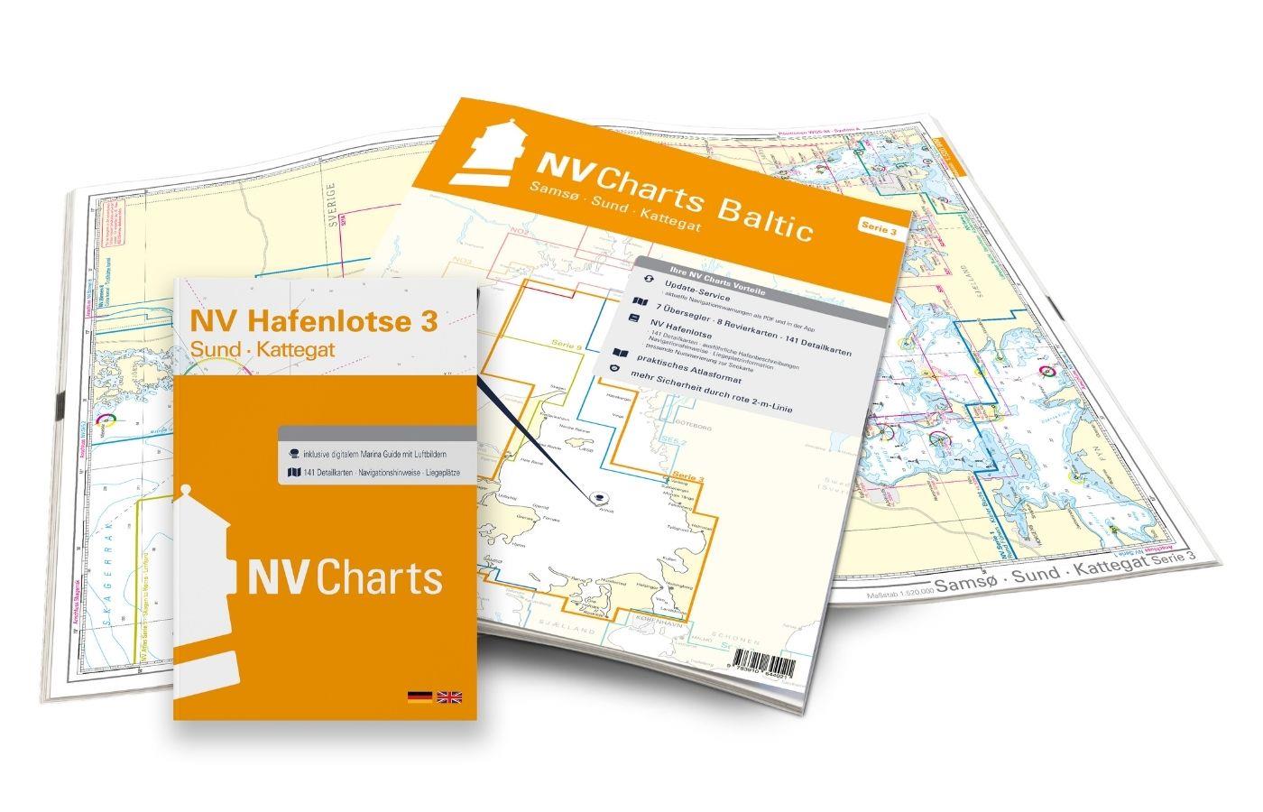
Overview Chart Series 1 1 : 370000 S 1 Kiel Bight 1 : 140000 S 15 Mecklenburg Bight 1 :150000 S 16 Møn Southeast 1 :150.000 S 22 Hanö Bucht 1 :260.000 S 23 Sund Süd 1 :140.000 S 24 Klintholm bis Bornholm 1 :220.000 S 25 Bornholm 1 :140.000 General Map Series 3 1 : 520.000 Skagerrak 1 : 500.000 S 30 Kattegat Süd 1 : 180.000 S 31 Kattegat Mitte 1 : 180.000 S 32 Kattegat Nord 1 : 180.000 General Map Series 4 1 :370.000 S 25 Bornholm 1 :140.000 S 45 Hiddensee to Swinemünde 1 :240.000 S 46 Rügen to Bornholm 1 :240.000
Coastal Charts
S 2 Kiel Fjord 1 : 40.000 S 3 Kiel Bight South-West 1 : 80.000 S 4 Flensburg Fjord 1 : 80.000 S 5 Little Belt South 1 : 80.000 S 6 Little Belt Centre 1 : 80.000 S 7 Small Belt North 1 : 80.000 S 8 North Funen 1 : 80.000 S 9 Great Belt North 1 : 80.000 S 10 Great Belt Centre 1 : 80.000 S 11 Great Belt South 1 : 80.000 S 12 South Funen 1 : 80.000 Schlei 1 + 2 1 : 35.000 NOK Kiel Canal 1 + 2 (5 maps) 1 : 55.000 S 13 Fehmarn 1 : 80.000 S 14 Lübeck Bay 1 : 80.000 S 17 Smålandsfahrwasser West 1 : 80.000 S 18 Smålandsfahrwasser Ost 1 : 80.000 S 19 Grönsund 1 : 60.000 S 19A Guldborg Sund 1 : 60.000 S 20 Fakse Bucht 1 : 60.000 S 21 Sund Mitte 1 : 80.000 S 26 Sund Nord 1 : 80.000 S 27 Roskilde Fjord Nord 1 : 40.000 S 27A Roskilde Fjord Süd 1 : 40.000 S 28 Samsø Belt 1 :100.000 S 28A Isefjord 1 : 60.000 S 29 Aarhus Bay 1 :100.000 S 34A Mariager Fjord 1 : 55.000 S 34B Randers Fjord 1 : 55.000 S 36 The Bodden south of Zingst 1 : 60.000 S 37 Strelasund North 1 : 60.000 S 38 Hiddensee to Jasmund 1 : 60.000 S 39 Strelasund South 1 : 40.000 S 40 Greifswalder Bodden West 1 : 60.000 S 41 Greifswalder Bodden East 1 : 60.000 S 42 Peenestrom South 1 : 60.000 S 43 Stettiner Haff 1 : 80.000 S 45A Arkona to Landtief 1 :100.000
Detail Maps
S 3A Eckernförder Bucht S 4A Innere Flensburger Förde 1 : 35.000 S 5A Haderslev Fjord and approaches S 6A Alssund & Augustenborgfjord 1 : 25.000 S 7A Snævringen & Kolding Fjord 1 : 40.000 S 9A Nyborg - Korshavn - Korsør approaches S 10A Odense Fjord 1 : 40.000 S 11A Nakskov Fjord 1 : 40.000 S 12A Svendborgsund 1 : 15.000 S 13A Fehmarnsund 1 : 30.000 S 14A Die Travemündung 1 : 17.000 S 16A Wismar Bucht 1 : 41.000 S 17A Häfen von Rostock Gedser Anst. 1 : 20.000 S 18A Ansteuerung 1 : 20.000 S 20A Salzhaff 1 : 41.000 S 21A Die Untertrave 1 : 15.000 S 22A Copenhagen 1 : 40.000 S 33A Ansteuerung Frederikshavn 1 : 40.000 S 33B Ansteuerung Hals 1 : 45.000 S 35A Nordansteuerung Sund 1 : 65.000 S 35B Hallands Väderö 1 : 40.000 S 39A Stralsund 1 : 40.000 S 41A Ruden to Wolgast 1 : 40.000 S 43A Dievenow (Dziwna) 1 : 30.000 S 44 Die Oder to Stettin-Nord 1 : 30.000 S 44A Die Oder to Stettin-Süd 1 : 30.000
| App License: | NV Charts App |
|---|---|
| Format: | NV Atlas, Gebundener Kartensatz |
| Purchase type: | One-time |
| Region: | Ostsee, Kattegat, Skagerak |
| Size: | Atlas |
With the help of our area preview, you can get an impression of which geographical region the product deals with or which areas a nautical chart covers.
Reviews
Login
11 March 2021 15:22
Dietmar H.
Wir benutzen die Karten von NV schon lange an Bord und waren immer zufrieden mit den Seekarten. Der Koffer ist ein Rundum-sorglos-Paket zum vernünftigen Preis und App und Hafenhandbücher hat man auch dabei
11 March 2021 07:59
Auf NV ist verlass
Ich Segel seit Jahren durch die Ostsee und die Ostsee Serie von NV ist mein treuster Begleiter. Das schöne an diesen Karten ist, dass diese sehr detailreich sind und alles sehr anschaulich abgebildet ist. Der Kundenservice ist super, außerdem waren die Karte 2 Tage nach Lieferung bei mir zuhause! Das macht spaß! LG Max
23 February 2021 18:40
Hanse 400
Segel seit Jahren immer mit den NV Seekarten auf der Ostsee sind die besten gerade in Kombination mit der App. Lieferung erfolgte wie immer prompt.

