NV Atlas Sverige SE 5.2 - Svenska Västkusten Södra

Edition: 2023
Edition Date: 25.02.2023

€69.90*


Product number: 1752

Description

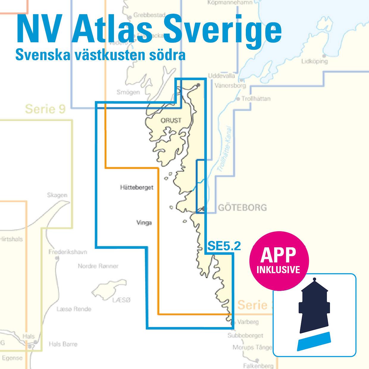
As an extension of the popular series 3, NV Charts is offering series 5.2 on the Swedish west coast. This set of charts takes you from the surfing paradise of Varberg along the west Swedish archipelago to Gothenburg. From there you can drive into the Trollhätte Canal to get into the Göta Canal. Otherwise it goes on the rocky archipelago past Marstrand to Orust, the third largest island in Sweden and on to Smögen. This set of charts ends south of the uninhabited island of Vaderö.

This chart series for the archipelago is probably the most detailed set of recreational shipping charts on the market due to the publisher's own measurements and information. In many of the areas of interest for recreational boating, larger scales are used and additional charts are inserted. A harbour pilot with marinas and anchorages is included. Further nautically important information is available there in German and Swedish.

This chart set contains

  • 2 Passage Charts / Översiktskort
  • 15 Coastal Charts / Skärgårdskort
  • 9 detailed charts / Specialkort
  • Data and information away from the fairways
  • Publishers own surveys and corrections
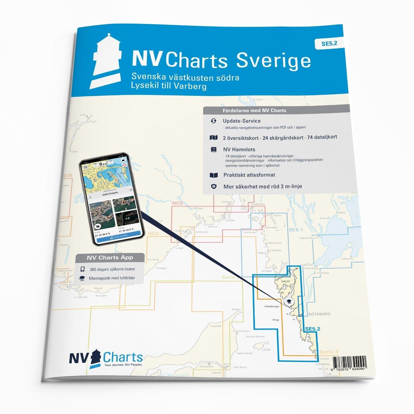
  • nv charts app and navigation software
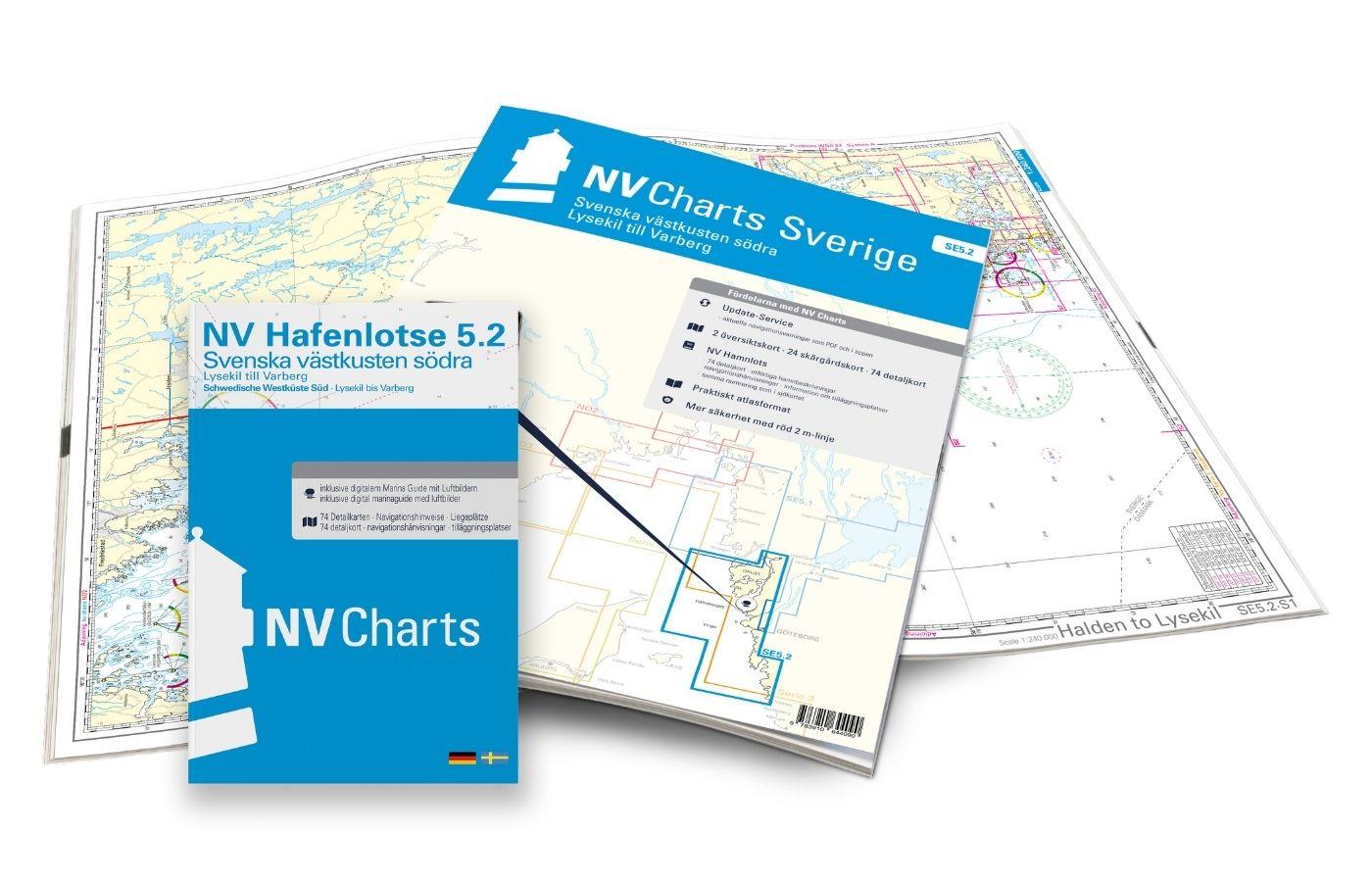
  • Harbour Pilot in paper / digital in German and Swedish
  • Navigation instructions in German/English/Svensk
  • Meets legal requirements for up-to-date paper charts on board

NV Atlas chart format

NV Charts nautical charts are available in an outstandingly practical, handy atlas booklet format and thus offer many advantages over formats from other manufacturers. The nautical chart series have been designed by nautical experts and passionate water sports enthusiasts with the needs of recreational boating in mind.

The NV Atlas has a very flat staple binding in the middle, so that the course triangle can also be used there without any problems. This innovative development makes it possible to look up charts quickly and always have them in the best possible order at the same scale. The NV Atlas is delivered in a plastic cover protected against splash water. This modern nautical chart format is very popular on sailing boats as well as on motor yachts and is the preferred choice of many of our customers.

NV Charts navigation app

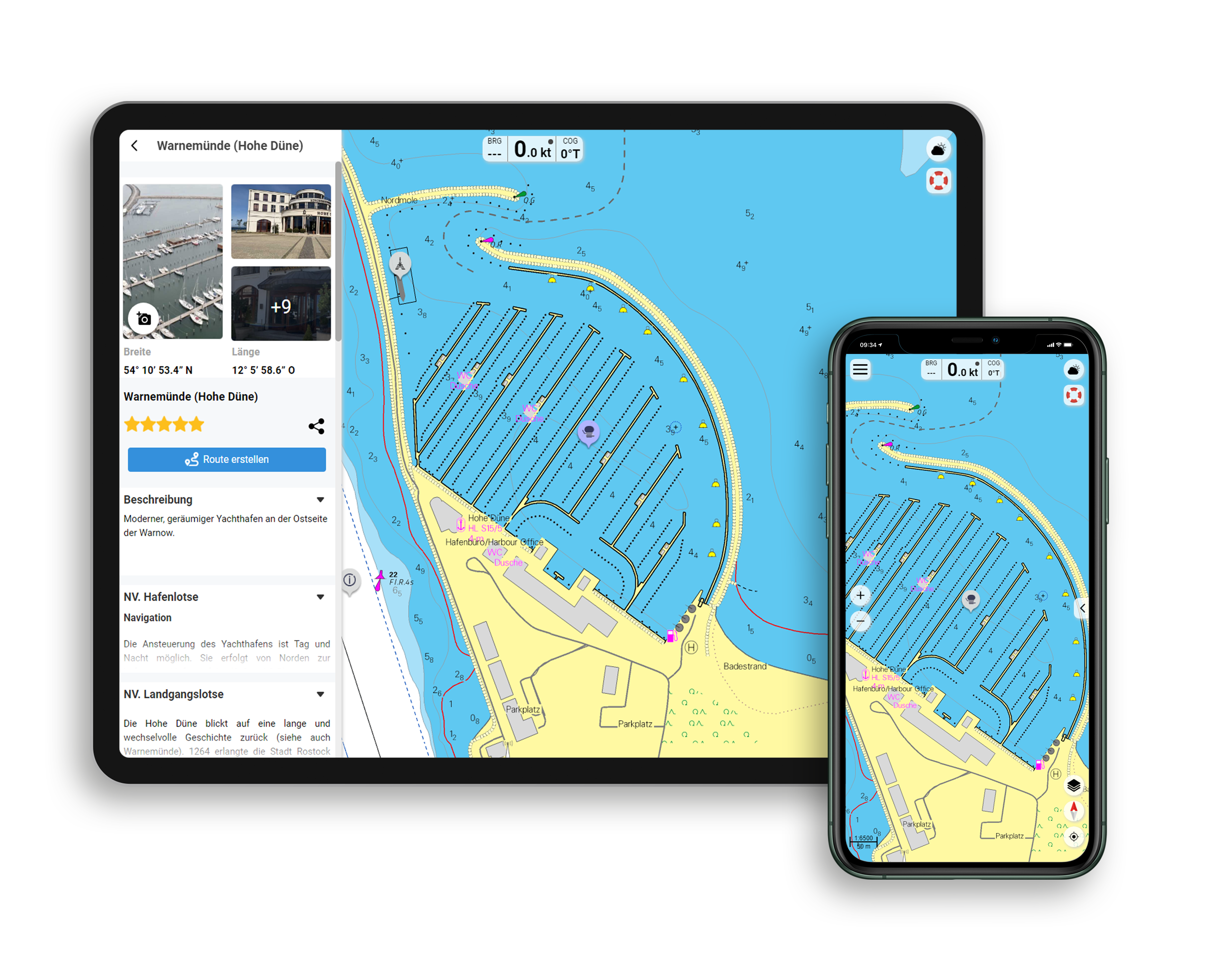
All NV Charts nautical charts also include an access code to the digital nautical charts in the NV Charts app and can thus be easily downloaded. The charts are valid for 365 days from activation and can be used for offline navigation with the NV Charts app on iOS, Android, PC and Mac or also in the web browser.

The NV Charts app is the ideal addition on mobile devices. With the app, you can already plan a detailed route at home and thus prepare for your journey in the best possible way in conjunction with the paper chart. The app is intuitive to use and, thanks to an identical map image, you can orientate yourself on paper and digitally in a matter of seconds. The most up-to-date information is essential to navigate safely on the water with your sailboat or motorboat.

With the NV Charts app, you now have the opportunity to become part of the chart community. You can mark harbours, anchorages and navigation warnings on the digital nautical chart and also add interesting places beyond navigation, such as restaurants, with pictures and comments and share your experiences with other users. In addition, the NV Charts app offers an automatic routing function, search and all navigation functions for GPS navigation with your phone or tablet. More information at: nvcharts.com/app

More PC navigation apps: NV Verlag / NV Charts nautical charts can also be used in many other nv.digital compatible PC navigation programs such as NV Chart Navigator or Open CPN.

Update - Update

NV Charts offers a monthly correction service (April to October) for its Baltic Sea charts for both paper and digital. So that you are always up to date.

Our recommendation

As an additional supplement we offer with the 5.1 the continuation of the Swedish coast. This way you have all the 8000 islets on two sets of charts. Of course it is also possible to make a passage through the Göta Canal with our Inland Volume 8.

Containing charts and scales

Passage Charts / Översiktskort

S1 Halden to Lysekil 1: 240.000 S2 Lysekil to Varberg 1: 240.000 (Pilot Chart Anholt-Færder-Jomfruland 1: 750.000 only in digital format)

Coastal Charts / Skärgårdskort

S3 North of Orust 1: 40.000 S4 East of Orust 1: 40.000 S5 North of Tjörn 1: 40.000 S6 East of Tjörn 1: 40.000 S7 Fiskebäckskil to Käringön 1: 40.000 S8 Käringön to Marstrand 1: 40.000 S9 Marstrand to Sälö 1: 40.000 S10 Sälö to Öckerö 1: 40.000 S11 Öckerö to Vinga 1: 40.000 S12 Vinga to Tistlarna 1: 40.000 S13 Tistlarna to Malö 1: 40.000 S14 Malö to Ringhals 1: 40.000 S15 Ringhals to Varberg 1: 40.000 S16A Nordre Älv 1: 40.000 S16C Kungsbackafjord 1: 40.000

Detail maps

S3A Råbergsund 1: 10.000 S16B Nordre Älv Flood barrage 1: 3.000 S17 Lysekil to Gullholmen 1: 20.000 S18 Gullholmen to Käringö Fjord 1: 20.000 S19 Käringö Fjord to Kyrkesund 1: 20.000 S20 Kyrkesund to Klädesholmen 1: 20.000 S21 Marstrand 1: 20.000 S22 Öckerö to Vinga 1: 20.000 S23 Långedrag to Vrångö 1: 20.000

App License: NV Charts App
Empfehlung: Revierempfehlung Schweden
Format: NV Atlas, Gebundener Kartensatz
Size: Atlas
Area preview

With the help of our area preview, you can get an impression of which geographical region the product deals with or which areas a nautical chart covers.

Related products to this item

Related products to this item

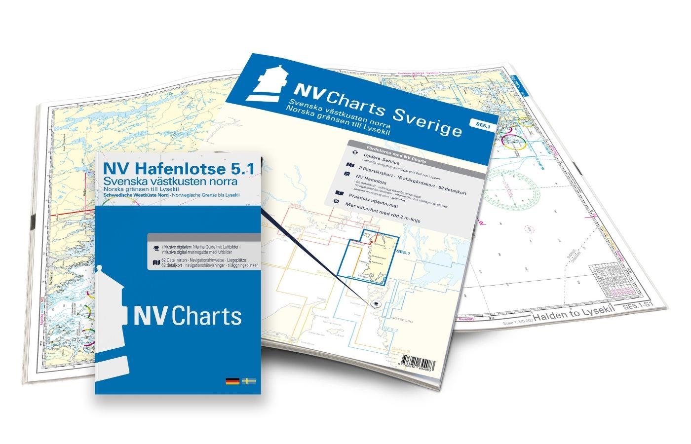
NV Atlas Sverige SE 5.1 - Svenska Västkusten Norra
To get to the Oslofjord via the Swedish west coast, there is no way around the NV Atlas Series 5.1. This set of nautical charts begins on the beautiful island of Smögen and goes along Fjällbacka, Greb

€69.90*
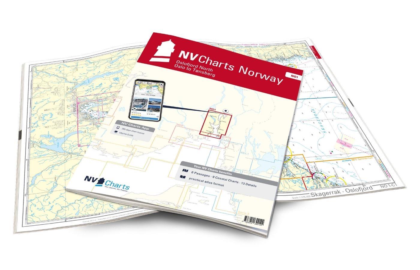
NV Atlas Norway NO1 Oslofjord Nord - Oslo til Tønsberg
The region around Oslo is covered in the chart set NO1. If you are already in the Oslofjord, then you should definitely head to the Norwegian capital Oslo. The much-frequented fjord tapers off after p

€74.99*
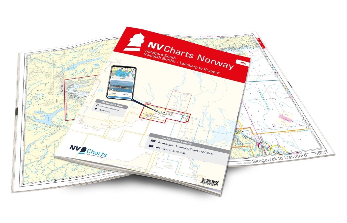
NV Atlas Norway NO2 Oslofjord Sør - Svenska Grensen til Kragerø
With our nautical chart NO2 you will be guided from the Swedish border directly into the busy Oslofjord to the historic Fredrikstad. From there you can go directly to the other side to Tönsberg and re

€74.99*
-26 %
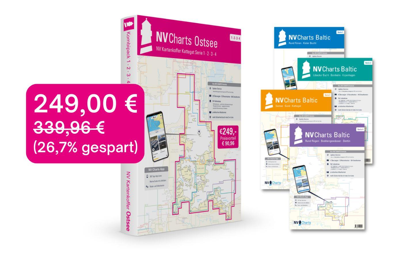
NV Atlas Chart Box Baltic Sea Region 1-4
 For all those who like to save and whose district is called the German and Danish Baltic Sea. With the Baltic Sea Case Series 1-4 our single map sets are offered to you at a special price of 198

€249.00* €339.96* (26.76% saved)
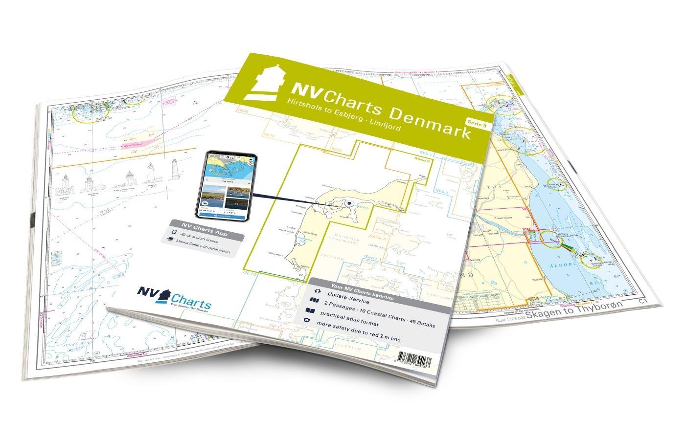
NV Atlas Serie 9 - Hirtshals to Esbjerg & Limfjord
The Danish west coast and the Limfjord are among the most popular holiday regions in the Scandinavian country. The coast is known for its endless, fine sandy beaches. The Limfjord is an elongated soun

€64.99*
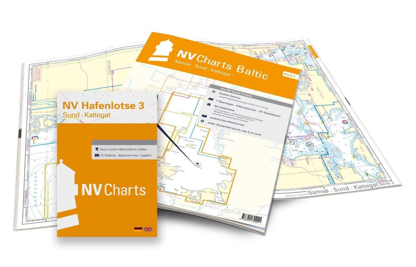
NV Atlas Region 3 West Denmark
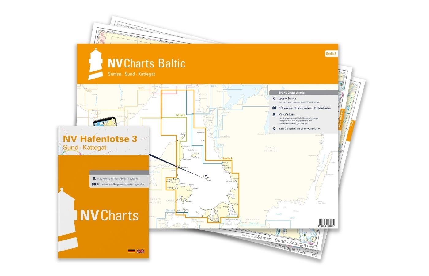
As a sequel of the popular series 1 and 2, NV Charts offers the NV Atlas series 3. North of Copenhagen - where harbours and beautiful places line up and the distance between Denmark and Sweden is the

Variants from €59.99*
€74.99*
-20 %
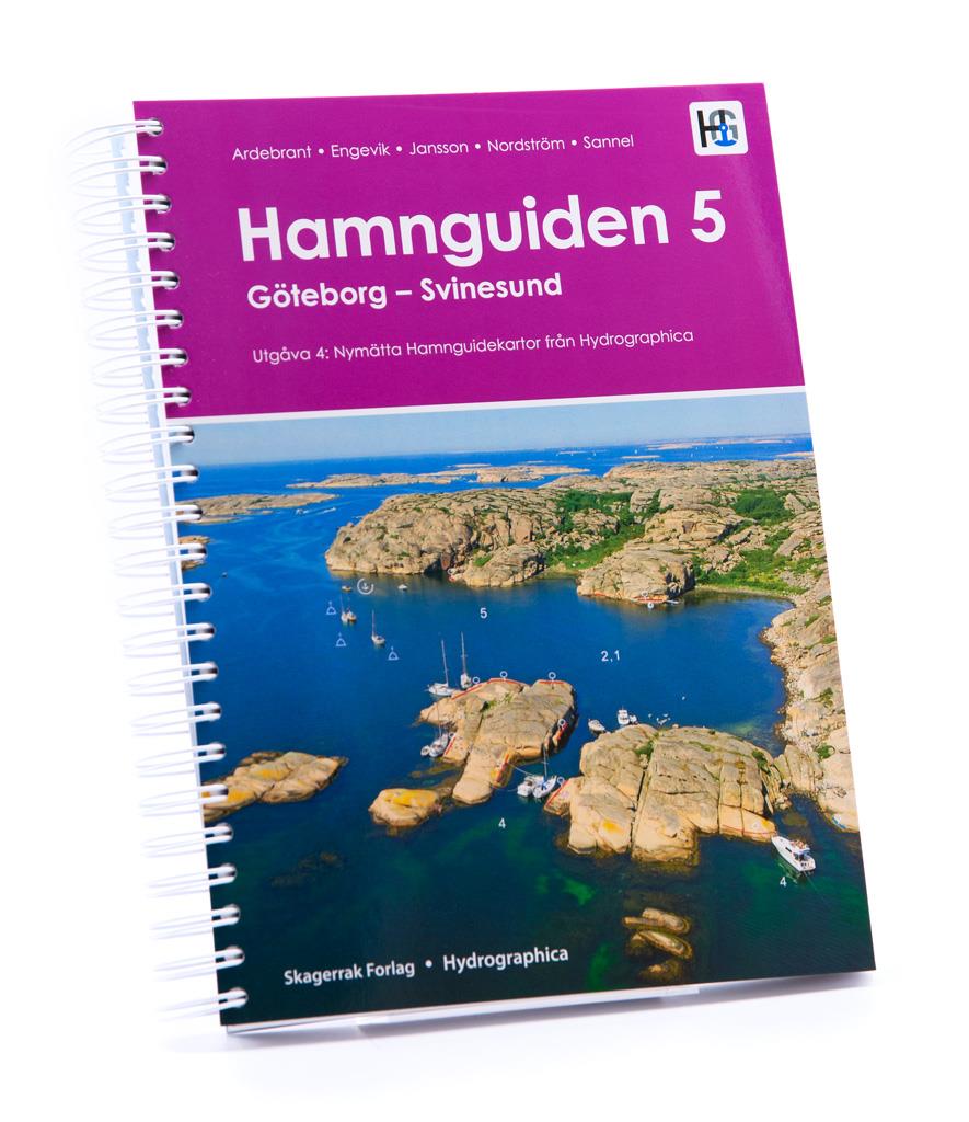
Hamnguiden 5 Göteborg - Svinesund
The harbour guide Gothenburg - Svinesund takes you directly to the beautiful archipelago landscape of Sweden's west coast from Gothenburg to just before the Oslo Fjord.This sailing guide contains a nu

€59.90* €74.90* (20.03% saved)

Products near this article

Products near this article

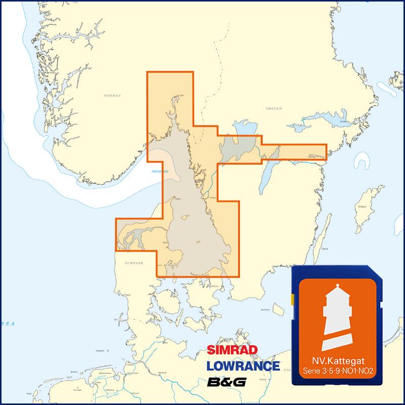
NV Kattegat Plotterseekarten
Maps & Port plans of series 3 5.1 5.2 NO 1-2 Inland volume 8 and series 9.With this map you can get from Samsö through the Kattegat via the popular island of Anholt to the Swedish western archi

€129.99*
NV Atlas Sverige SE 5.1 - Svenska Västkusten Norra
To get to the Oslofjord via the Swedish west coast, there is no way around the NV Atlas Series 5.1. This set of nautical charts begins on the beautiful island of Smögen and goes along Fjällbacka, Greb

€69.90*
NV Series 3 East Denmark Single-Charts
As a continuation of the popular series 1 and 2 nv charts offers series 3. Where series 1 and 2 end series 3 begins. North of Copenhagen where the harbours and beautiful places line up like pearls on

Variants from €59.99*
€74.99*
-20 %
Hamnguiden 5 Göteborg - Svinesund
The harbour guide Gothenburg - Svinesund takes you directly to the beautiful archipelago landscape of Sweden's west coast from Gothenburg to just before the Oslo Fjord.This sailing guide contains a nu

€59.90* €74.90* (20.03% saved)
Schwed. Serie Västkusten N
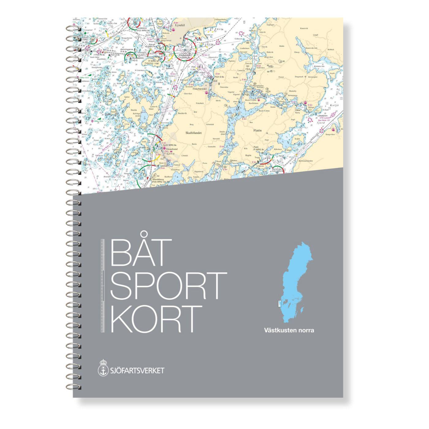
Svinesund to Måseskär. Format 30 x 42 cm spiral binding.

€78.00*
NV Atlas Region 3 West Denmark
As a sequel of the popular series 1 and 2, NV Charts offers the NV Atlas series 3. North of Copenhagen - where harbours and beautiful places line up and the distance between Denmark and Sweden is the

Variants from €59.99*
€74.99*
N 470 POD
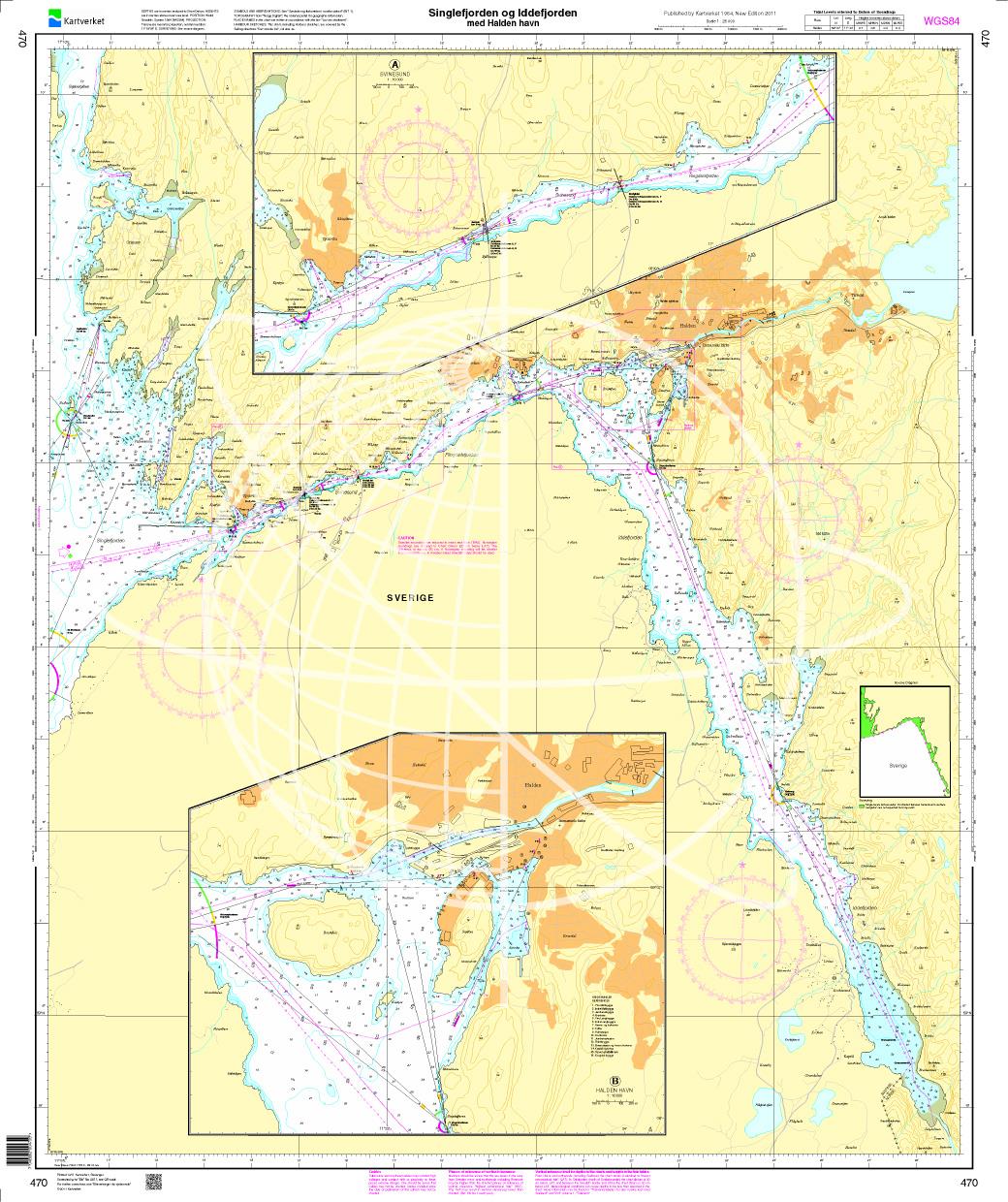
Singlefjorden Iddefjorden med Halden havn. - POD cards are excluded from exchange.

€27.70*
Schwedische Serie Trollhätte Kanal - Dalslands Kanal
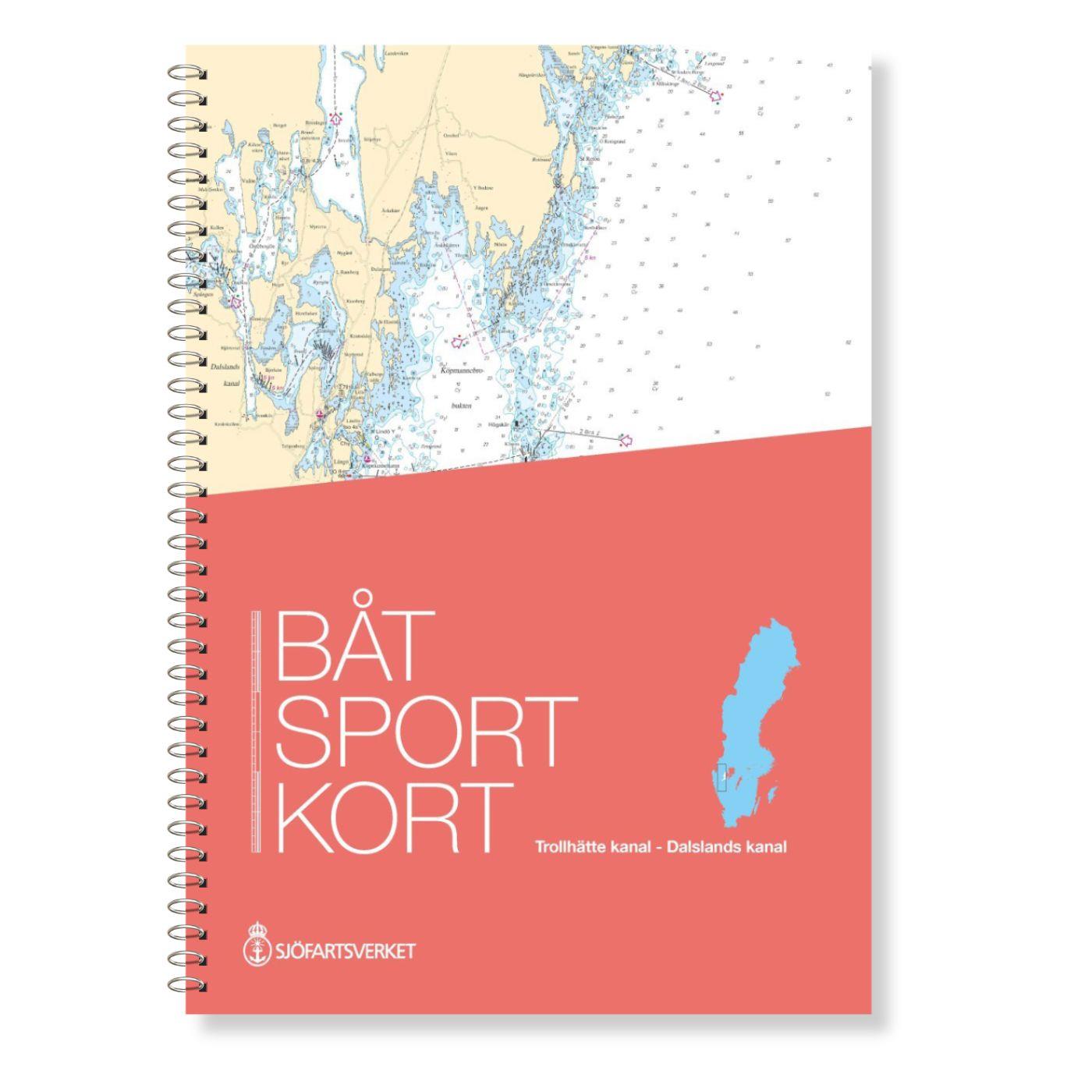
The Swedish Båtsportkort sports boat chart set Trollhätte Kanal - Dalslands Kanal has been thoroughly overhauled in the 2020 edition and expanded to include the Trollhätte Kanal and the connection

€78.00*
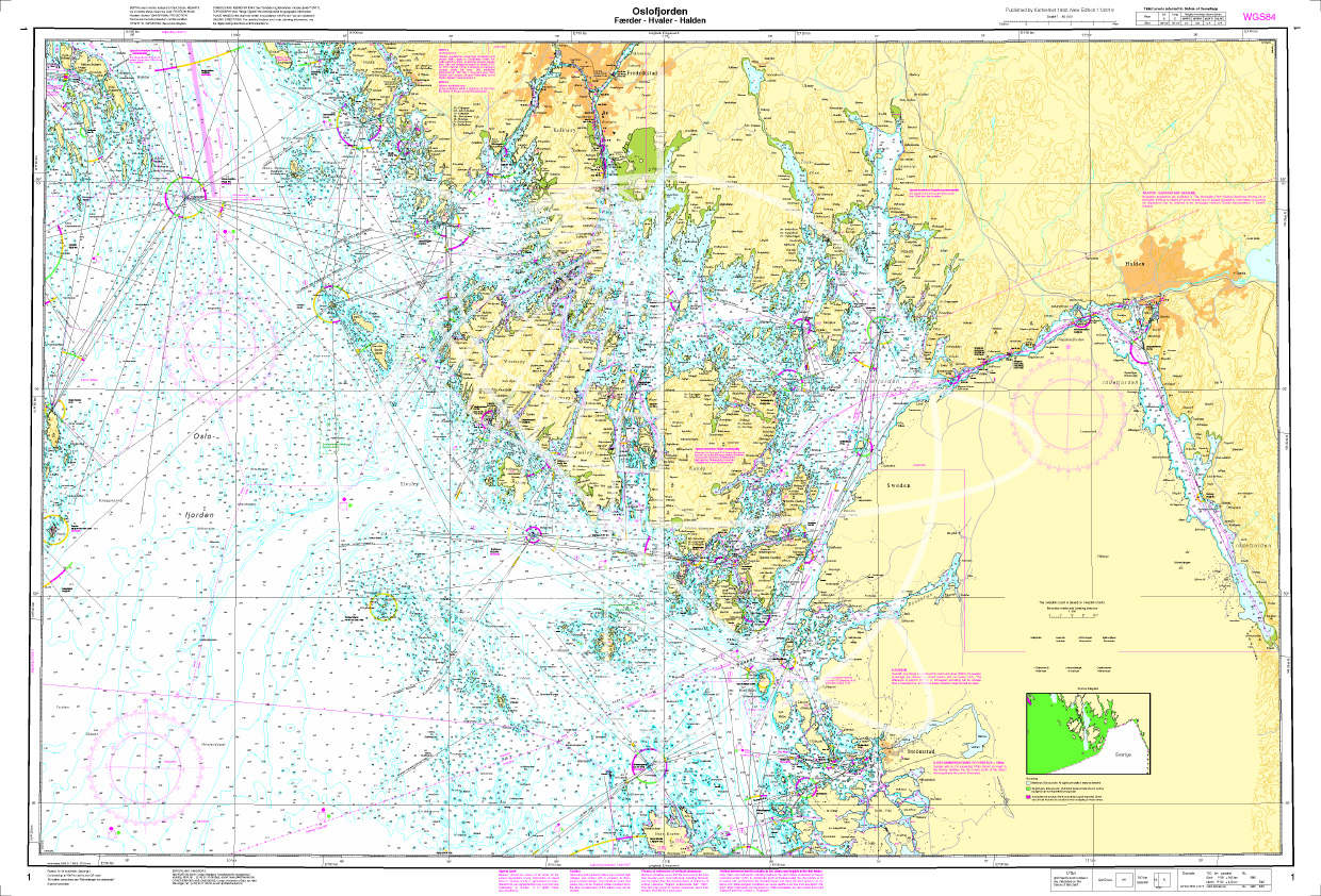
Norwegen N 1 Oslofjord von Faerder - Hvaler - Halden
The Sea Chart N 1 covers the east coast and the offshore islands in the Oslofjord from Faerder via Hvaler to Halden. The detailed scale is 1:50000. We print the chart on customer reque

€27.70*

Reviews

0 of 0 reviews

Leave a review!

Share your experiences with other customers.