Skip to main content Skip to search Skip to main navigation

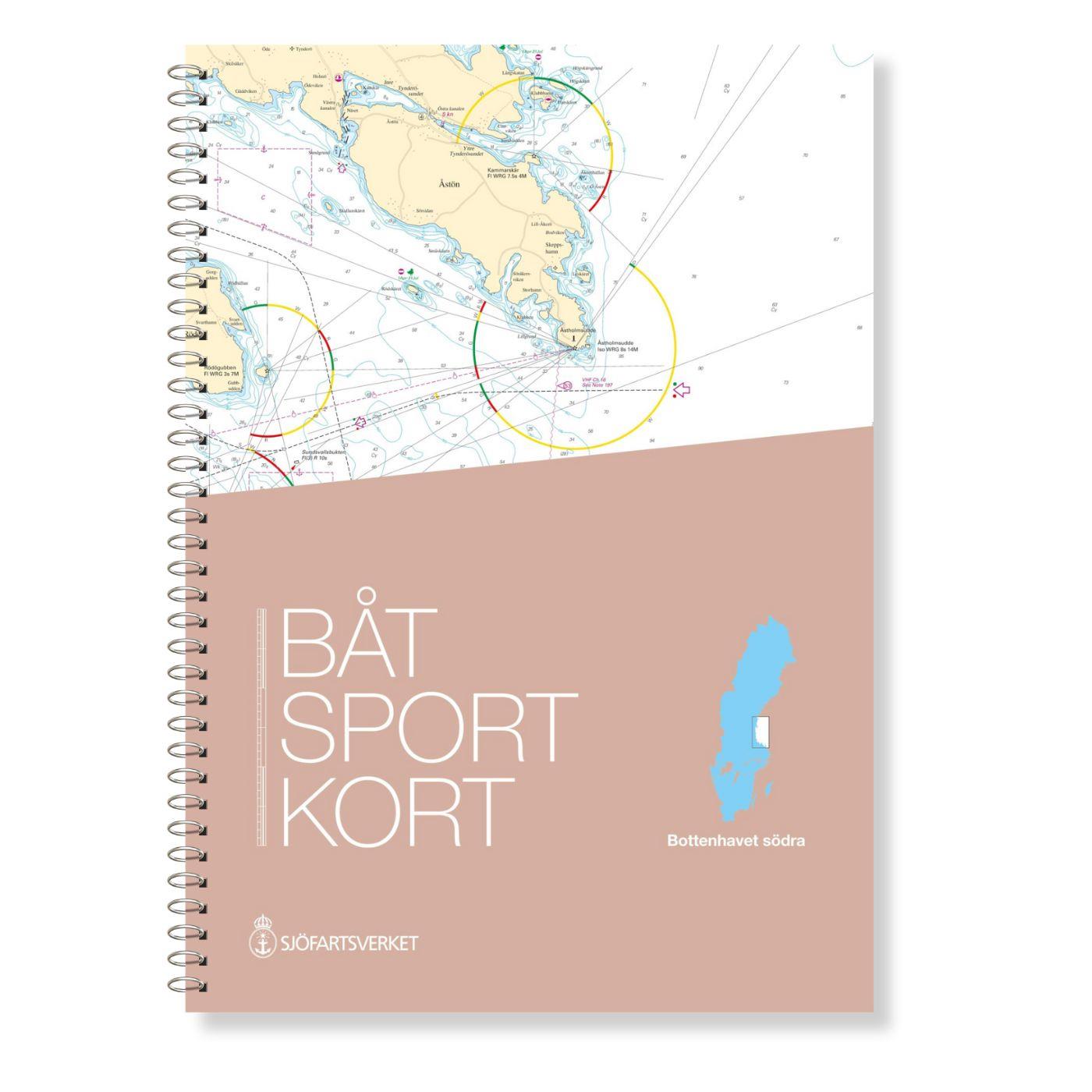
The Swedish recreational boating chart set Bottenhavet S Södra is the southernmost of the three Swedish chart sets for the Gulf of Bothnia and the direct link to the Stockolm Norra chart set. This map set covers the coastal area from Sundsvall in the north to Öregrund (near Forsmark) in the south.

This map set is mainly at a scale of 1:50000.

For the approaches to the ports of Gälve and Sönderhamn in addition to the more detailed maps more detailed maps are available. For the overview there are 3 oversewers at a scale of 1:250000.

Updating - Update

The official Swedish recreational boat charts are reissued at irregular intervals. Mostly the intervals are between 2 and 4 years. It is possible to update the charts via the website of the Swedish Maritime Administration using NFS.

Our recommendation

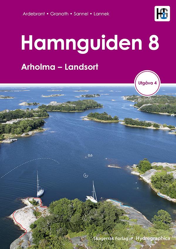
The Swedish recreational boat charts are definitely the best products for this region. However we would still recommend that you carry a harbour handbook for the region as this will make it easier to find harbours and anchorages. We would recommend the book Hamnguiden 8 8 which is only in Swedish but has very nice plans and aerial photographs. Official Swedish recreational boat charts

Official Swedish recreational boat charts

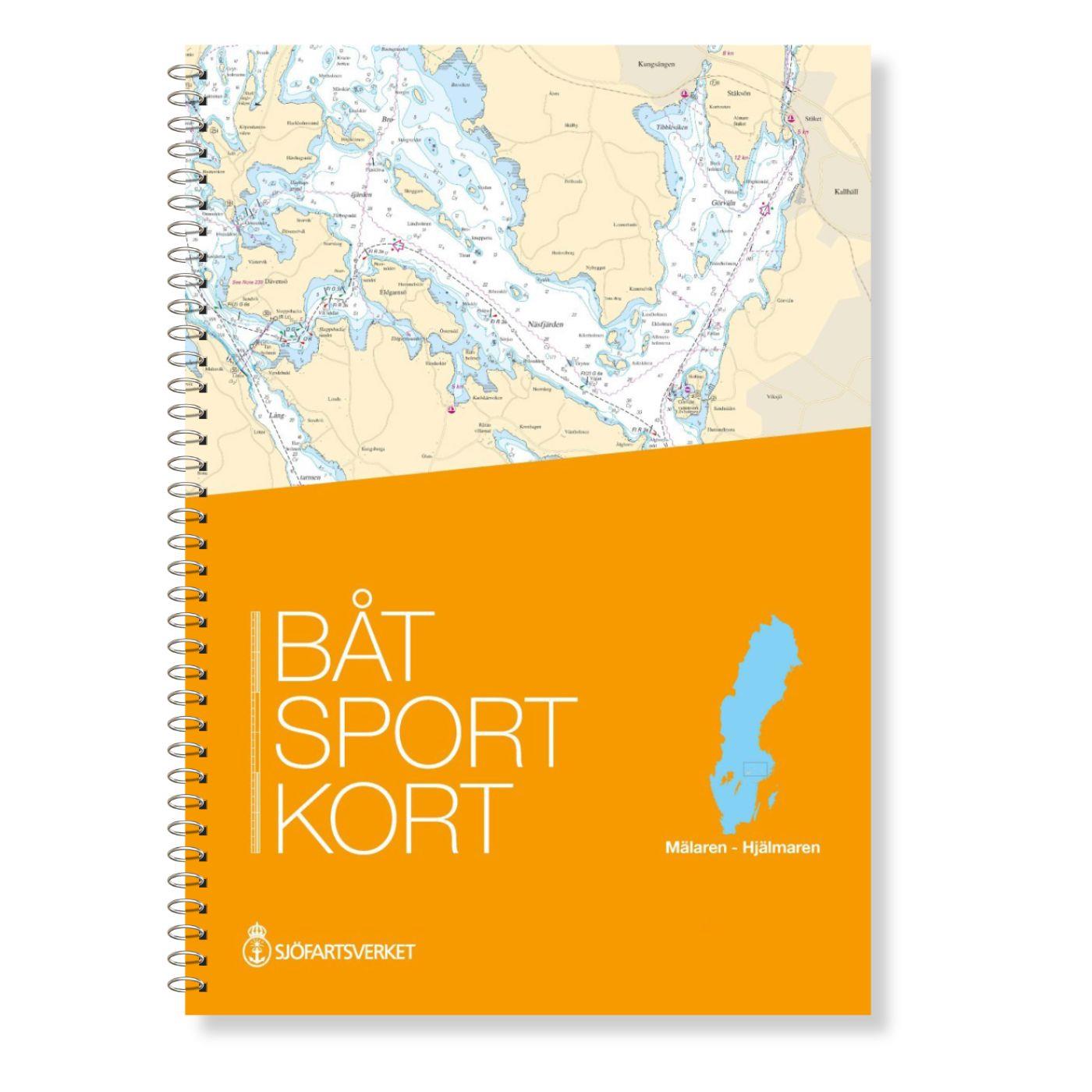
The Swedish recreational boat chart series consists of 17 sets each covering a coastal or inland section. These chart sets have a plastic spiral binding. The archipelago fairways are shown in detail and the beacon sectors are colour-coded. Each map sheet has clear references to the connecting maps within the map set. A clear pocket is included in the delivery. This product does not contain digital portions.

Handling and appearance

The map sheets are 30 x 42 cm spiral bound in a clear pocket printed on both sides. The spiral binding makes it possible to "turn" the pages. Furthermore the official Swedish recreational craft charts are printed on extremely durable paper. In addition there is also an extract from Map 1 describing the most important symbols of the chart series.

Containing places

Söråker - Vivstavarv- Fagervik - Östrand - Sundsvall - Tunadal - Hundiksvall - Dukarsund - Söderhamn - Norrsundet - Skutskär - Karlholm - Öregrund - Sunnanö

0 of 0 reviews

Average rating of 0 out of 5 stars

Leave a review!

Share your experiences with other customers.


Area preview

With the help of our area preview, you can get an impression of which geographical region the product deals with or which areas a nautical chart covers.

Other customers bought also

Gebietsvorschau für The Baltic Sea and Approaches öffnen
The Baltic Sea and Approaches
Discovering the BalticBeautiful secluded anchorages picturesque canals bustling marinas dramatic cities - all await those considering a Baltic cruise and thanks to this book they can prepare perfectly

€59.90*
Gebietsvorschau für Swedish Series Bottenhavet N Norra öffnen
-5 %
Swedish Series Bottenhavet N Norra
The Swedish Bottenhavet N Norra series covers the central Swedish coastal section in the Gulf of Bothnia. This stretches from Sundsvall in the south to Sikå in the north.This map set is mainly at a sc

€74.10* €78.00* (5% saved)

Related products to this item

Gebietsvorschau für Swedish Series Bottenhavet N Norra öffnen
-5 %
Swedish Series Bottenhavet N Norra
The Swedish Bottenhavet N Norra series covers the central Swedish coastal section in the Gulf of Bothnia. This stretches from Sundsvall in the south to Sikå in the north.This map set is mainly at a sc

€74.10* €78.00* (5% saved)
Gebietsvorschau für Swedish series Bottenviken öffnen
-5 %
Swedish series Bottenviken
The official Swedish recreational boating chart set Bottenviken is the northernmost of the Swedish recreational boating chart sets and covers the northwestern part of the Gulf of Bothnia from Bygdea t

€74.10* €78.00* (5% saved)
Gebietsvorschau für Swedish Series Stockholm N Norra öffnen
-5 %
Swedish Series Stockholm N Norra
The Swedish recreational boating chart set Stockholm Norra covers the northern Stockholm archipelago from Sandhamn to Öregrund. It also covers the sea area between the Swedish coast and the Aland Isla

€74.10* €78.00* (5% saved)
Gebietsvorschau für FINN. BOOTSPORTKARTEN F öffnen
FINN. BOOTSPORTKARTEN F
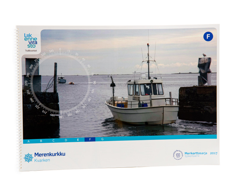
The Finnish boating chart set F Merenkurkku/ Kvarken covers the eastern part of the central Gulf of Bothnia. Within this set the coastal area is covered up to approx. 5sm distance from the coastThe ch

€58.00*
Gebietsvorschau für FINN. BOOTSPORTKARTEN E öffnen
FINN. BOOTSPORTKARTEN E
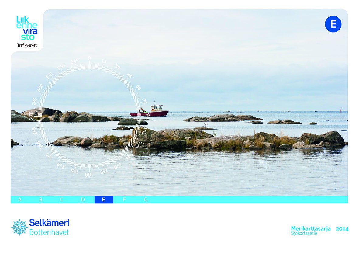
The Finnish boating chart set E Selkämeri/Bottenhavet covers the south-eastern side of the Gulf of Bothnia. Within this set the coastal area is covered up to approx. 5sm distance from the coast. The m

€58.00*
Gebietsvorschau für FINN. BOOTSPORTKARTEN G öffnen
FINN. BOOTSPORTKARTEN G
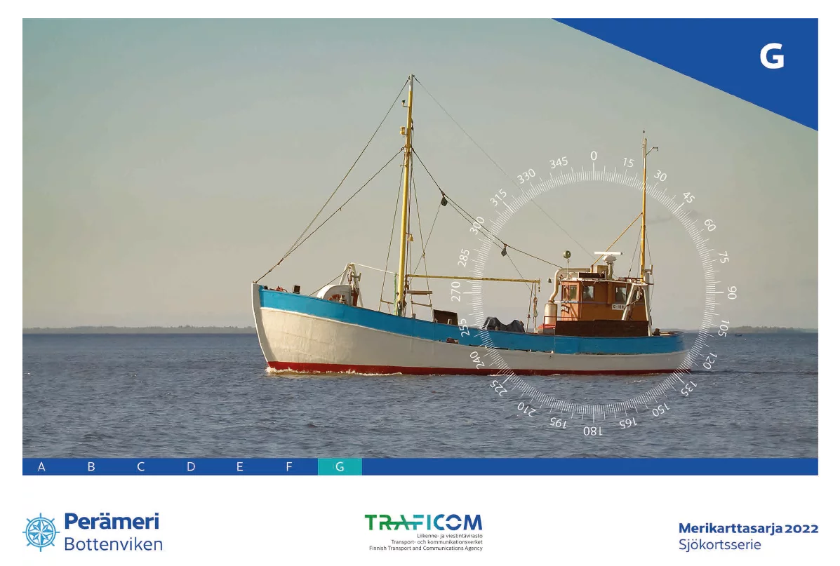
The Finnish Boating Chart Set G "Bottenviken" or Perämeri covers the Finnish coast of the Bottenwiek. The set directly follows set "E" and starts south of Kalajoki via Oulu to the Finnish/Swedish bord

€58.00*

Similar products

Gebietsvorschau für NV Pilot 1, planning chart Baltic Sea - Kristiansand to Helsinki öffnen
NV Pilot 1, planning chart Baltic Sea - Kristiansand to Helsinki
Planning chart for the Baltic Sea for sailorsThe Pilot 1 from NV Charts is an indispensable planning chart if you want to prepare for a Baltic Sea cruise. This chart for this popular sailing area exte

€24.99*
Gebietsvorschau für NV Charts Sverige SE 5.1 - Svenska Västkusten Norra öffnen
NV Charts Sverige SE 5.1 - Svenska Västkusten Norra
To get to the Oslofjord via the Swedish West Coast, there is no way around the NV Charts Atlas Series 5.1 Svenska Västkusten Norra past. This chart series, specially designed for recreational boating,

€69.90*
Gebietsvorschau für Swedish Series Bottenhavet N Norra öffnen
-5 %
Swedish Series Bottenhavet N Norra
The Swedish Bottenhavet N Norra series covers the central Swedish coastal section in the Gulf of Bothnia. This stretches from Sundsvall in the south to Sikå in the north.This map set is mainly at a sc

€74.10* €78.00* (5% saved)
Gebietsvorschau für Swedish Series Stockholm M Mellersta öffnen
-5 %
Swedish Series Stockholm M Mellersta
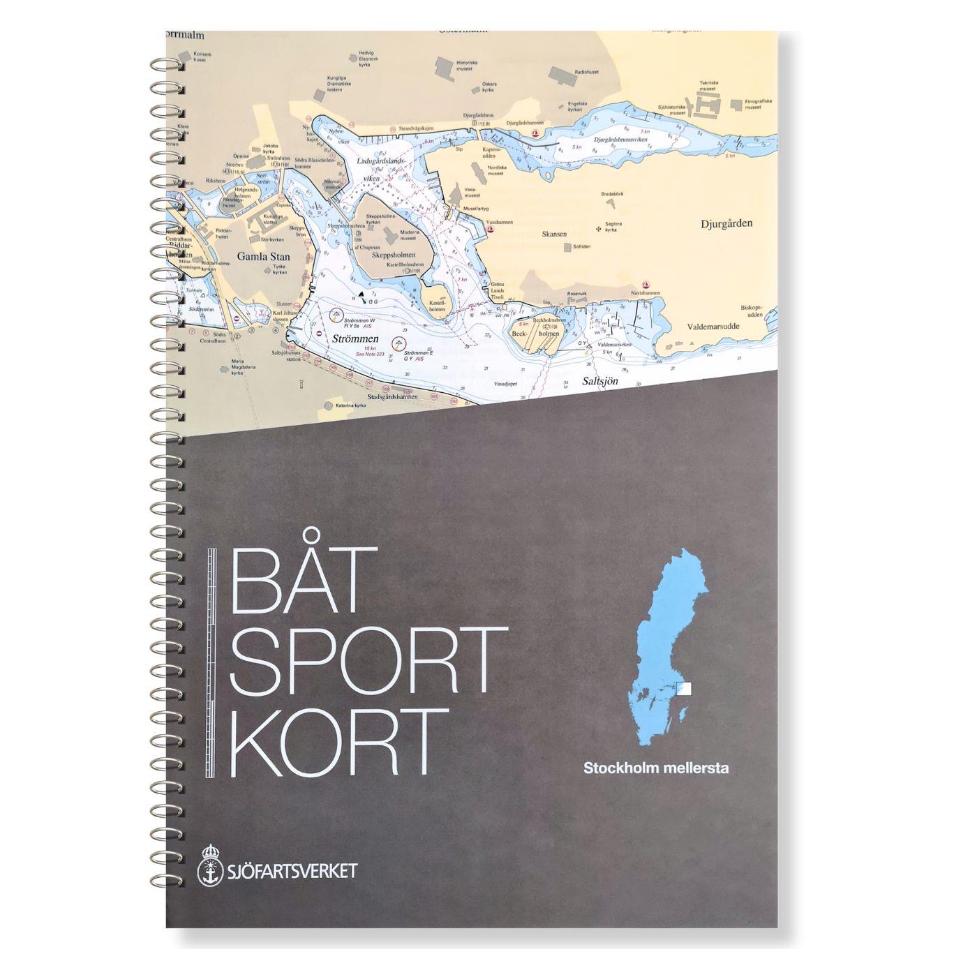
In this set of official Swedish recreational boat charts (Båtsportkort) Stockholm Mellersta (centre) the Swedish capital Stockholm with its southern and central approaches is depicted i

€74.10* €78.00* (5% saved)
Gebietsvorschau für Schwedische Serie Sydkusten öffnen
-5 %
Schwedische Serie Sydkusten
This official Swedish recreational chart set (Båtsportkort) Sydkusten (Skåne) covers the area from Kullen to Simrishamn. In addition to the Swedish coast the Danish coast including Copenhagen and Köge

€74.10* €78.00* (5% saved)
Gebietsvorschau für Swedish series Mälaren - Hjälmaren öffnen
-5 %
Swedish series Mälaren - Hjälmaren
In this official Swedish recreational boating chart set Mälaren- Hjälmaren the popular Swedish inland waterways Mälaren and Hjälmaren are covered. This extends from Stockholm into the Mälare

€74.10* €78.00* (5% saved)
Gebietsvorschau für Schwedische Serie Vänern öffnen
-5 %
Schwedische Serie Vänern
The Swedish sport boat chart set Vänern covers Swedens largest lake. This stretches Vänersborg with access into the Trollhättankanal in the west and  in the east with access into the Götakanal at

€74.10* €78.00* (5% saved)
Gebietsvorschau für NV Charts Box North Germany to Norwegian border Region 1, 2, 3, 5.1, 5.2  öffnen
-33 %
NV Charts Box North Germany to Norwegian border Region 1, 2, 3, 5.1, 5.2
Those looking to save while still being optimally equipped to travel from Kiel Bay to the Norwegian border will be very well served by the NV Atlas Kattegat Case . The Kattegat Case includes the Serie

€269.00* €404.77* (33.54% saved)
Gebietsvorschau für NV Binnenband 8 Göta Kanal & Trollhätte Kanal öffnen
NV Binnenband 8 Göta Kanal & Trollhätte Kanal
Swedens blue ribbon of 190 km in length - is probably one of the most scenic waterways in Europe. Every water sports enthusiast would like to pass the 58 locks downhill and uphill the pictur

€44.99*
Gebietsvorschau für Swedish series Bottenviken öffnen
-5 %
Swedish series Bottenviken
The official Swedish recreational boating chart set Bottenviken is the northernmost of the Swedish recreational boating chart sets and covers the northwestern part of the Gulf of Bothnia from Bygdea t

€74.10* €78.00* (5% saved)
Gebietsvorschau für Schwed. Serie Götakanal öffnen
-5 %
Schwed. Serie Götakanal
Göta kanal och Trollhätte kanal. Med Vättern och södra delen av Vänern. Format 30 x 42 cm spiral binding. Includes an accompanying booklet with harbour and district information ("Kanal- och hamnbeskri

€74.10* €78.00* (5% saved)
Gebietsvorschau für NV Charts Sverige SE 5.2 - Svenska Västkusten Södra öffnen
NV Charts Sverige SE 5.2 - Svenska Västkusten Södra
As an extension of the popular Series 3, NV Charts offers Series 5.2 Svenska Västkusten Södra on the Swedish west coast. The chart series, specially designed for recreational boating, contains the nau

€69.90*