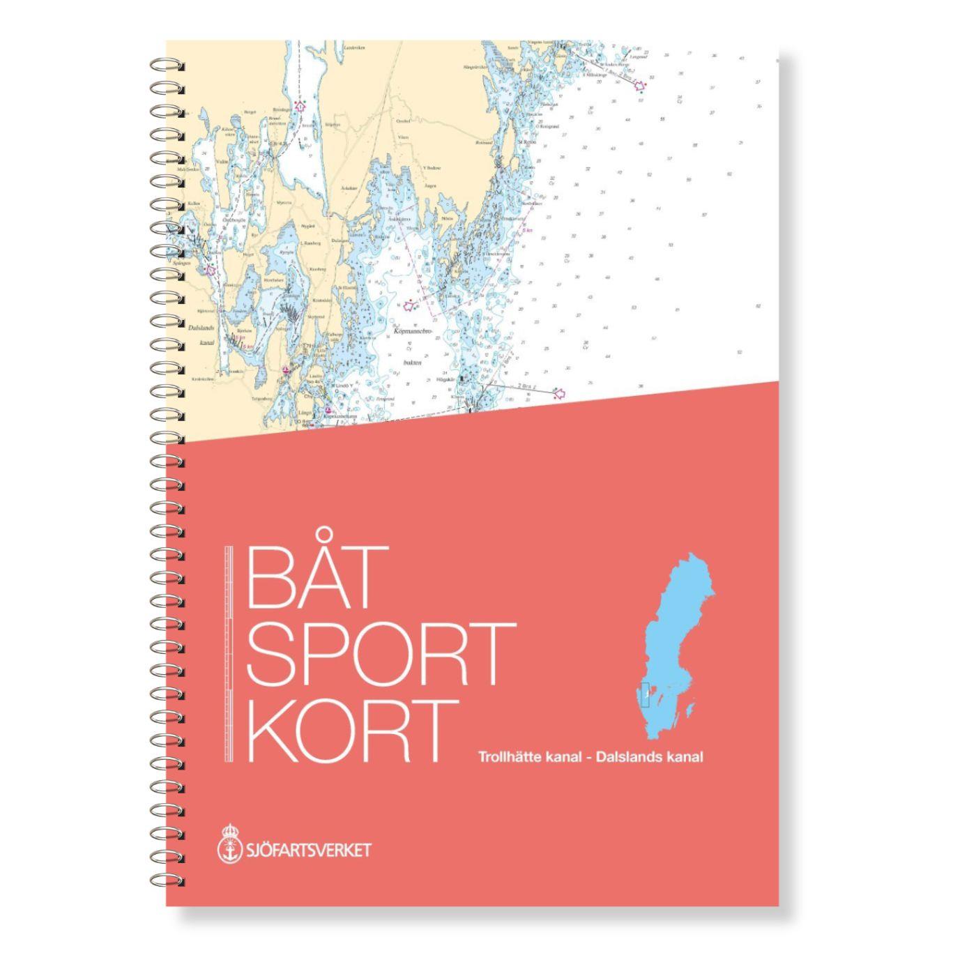
Schwedische Serie Trollhätte Kanal - Dalslands Kanal

Chart ID: S Serie Dalsland K
Scale: 1:50.000

€78.00*


Product number: 20469

Description

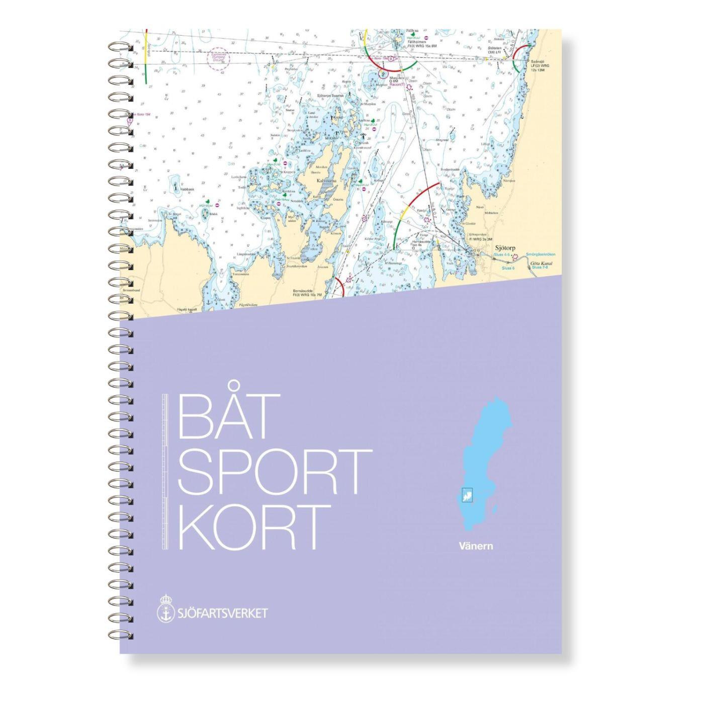
The Swedish Båtsportkort sports boat chart set Trollhätte Kanal - Dalslands Kanal has been thoroughly overhauled in the 2020 edition and expanded to include the Trollhätte Kanal and the connection between the Dalslands Kanal at Köpmannrbro. 

This extension makes it possible to reach the Dalslands Canal from Gothenburg with one set of maps. 


The Göta Älv is shown from Gothenburg via the Trollhätte Canal to Dalbosjön (part of Vänern ) at Vänersborg we in 18 map sections at a scale of 1:12500. The connection between the Trollhätte Canal and the Dalsland Canal is shown in 4 map sections at a scale of 1:60000. The Dalsland Canal is shown in 13 chart sheets at a scale of 1:50000.

 In addition an extract from the Swedish INT 1 ( in Swedish) is included in this nautical chart set


Size 30 x 42 cm spiral binding.

Language: Schwedisch, Englisch
Region: Inland , Schweden, Binnen
Size: DIN A3, Spiralbindung
Area preview

With the help of our area preview, you can get an impression of which geographical region the product deals with or which areas a nautical chart covers.

Related products to this item

Related products to this item

NV Pilot 1, planning chart Baltic Sea - Kristiansand to Helsinki
NV Pilot 1, planning chart Baltic Sea - Kristiansand to HelsinkiThe Pilot 1 from NV Charts is an indispensable planning chart if you want to prepare for a Baltic Sea cruise. This chart for this popula

€24.99*
Swedish Series East Coast
The Swedish Sport Boat Chart Series East Coast (Båtsportkort Ostkusten) presents the fairways and approaches of the archipelago fairways between Troasa and Västervik. The entrance to the Göta Can

€78.00*
Swedish series Hanö Bay
The official Swedish recreational chart set Hanöbucht (Båtsportkort Hanöbukten) covers the Swedish coast in the area of Hanöbucht from Skillinge to Bergkvara in the Kalmarsund.Also this official

€78.00*
Swedish series Kalmarsund
The official Swedish sport boat chart set (Båtsportkort) Kalmarsund covers the Kalmarsund from Västervik to Bergkvara. The island of Gotland is shown on the oversailers without detail or approach char

€78.00*
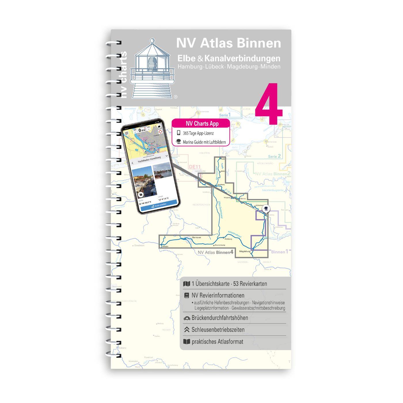
NV Binnen 4 Kombipack Elbe & Kanalverbindungen
The most exciting waterways can be found in Inland Volume 4 of NV Charts. The Elbe the Elbe-Lübeck Canal the Mittelland Canal and the Elbe-Seiten Canal are all highly frequented waterways with plenty

€44.99*
New
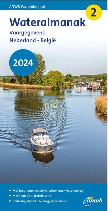
ANWB Wateralmanak 2 (Brückenzeiten)
Wateralmanak 2 Sound signals of the Inland Police (BPR) and the Rhine Police (RPR)This almanac includes the opening hours of all bridges and locks in the Netherlands and Belgium. The&nb

€24.99*
New
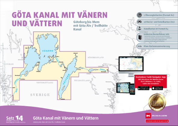
Delius Klasing Sportbootkarten Satz 14: Götakanal mit Vänern und Vättern
Delius Klasing Sport Boat Charts Set 14 Göta Canal with Vänern and VätternThe Delius Klasing Sport Boat Charts Set 14 contains 3 overseeing charts as well as 23 district and detail charts for navigati

€99.90*

Products near this article

Products near this article

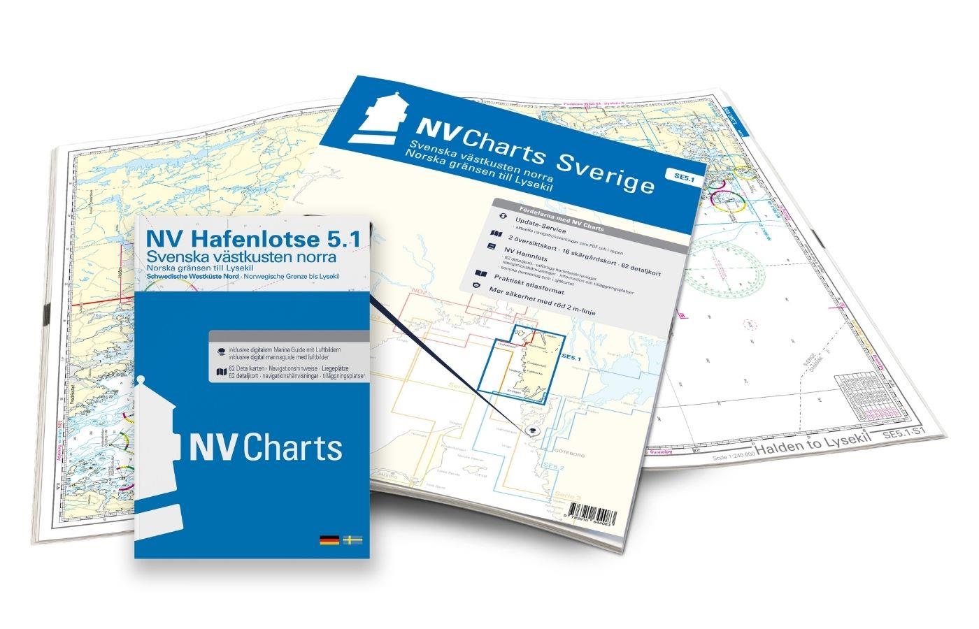
NV Charts Sverige SE 5.1 - Svenska Västkusten Norra
To get to the Oslofjord via the Swedish West Coast, there is no way around the NV Charts Atlas Series 5.1 Svenska Västkusten Norra past. This chart series, specially designed for recreational boating,

€69.90*
NV Charts Sverige SE 5.2 - Svenska Västkusten Södra
As an extension of the popular Series 3, NV Charts offers Series 5.2 Svenska Västkusten Södra on the Swedish west coast. The chart series, specially designed for recreational boating, contains the nau

€69.90*
NV Kattegat Plotterseekarten
Maps & Port plans of series 3 5.1 5.2 NO 1-2 Inland volume 8 and series 9.With this map you can get from Samsö through the Kattegat via the popular island of Anholt to the Swedish western archi

€129.99*
N 470 POD
Singlefjorden Iddefjorden med Halden havn. - POD cards are excluded from exchange.

€27.70*
Schwedische Serie Vänern
The Swedish sport boat chart set Vänern covers Swedens largest lake. This stretches Vänersborg with access into the Trollhättankanal in the west and  in the east with access into the Götakanal at

€78.00*
Schwed. Serie Västkusten N
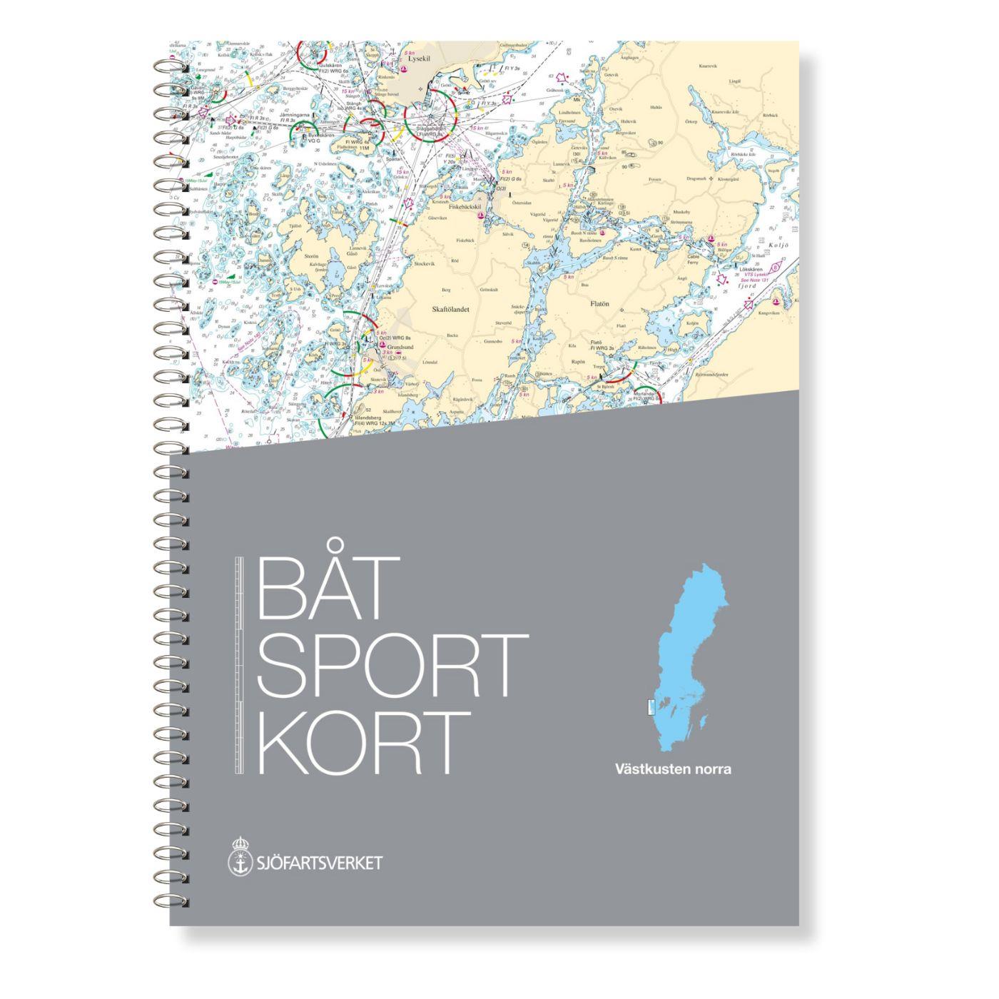
Svinesund to Måseskär. Format 30 x 42 cm spiral binding.

€78.00*
Hamnguiden 5 Göteborg - Svinesund
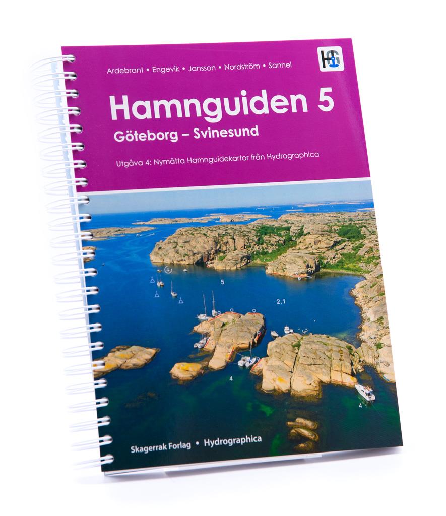
The harbour guide Gothenburg - Svinesund takes you directly to the beautiful archipelago landscape of Sweden's west coast from Gothenburg to just before the Oslo Fjord.This sailing guide contains a nu

€74.90*
N 465 POD
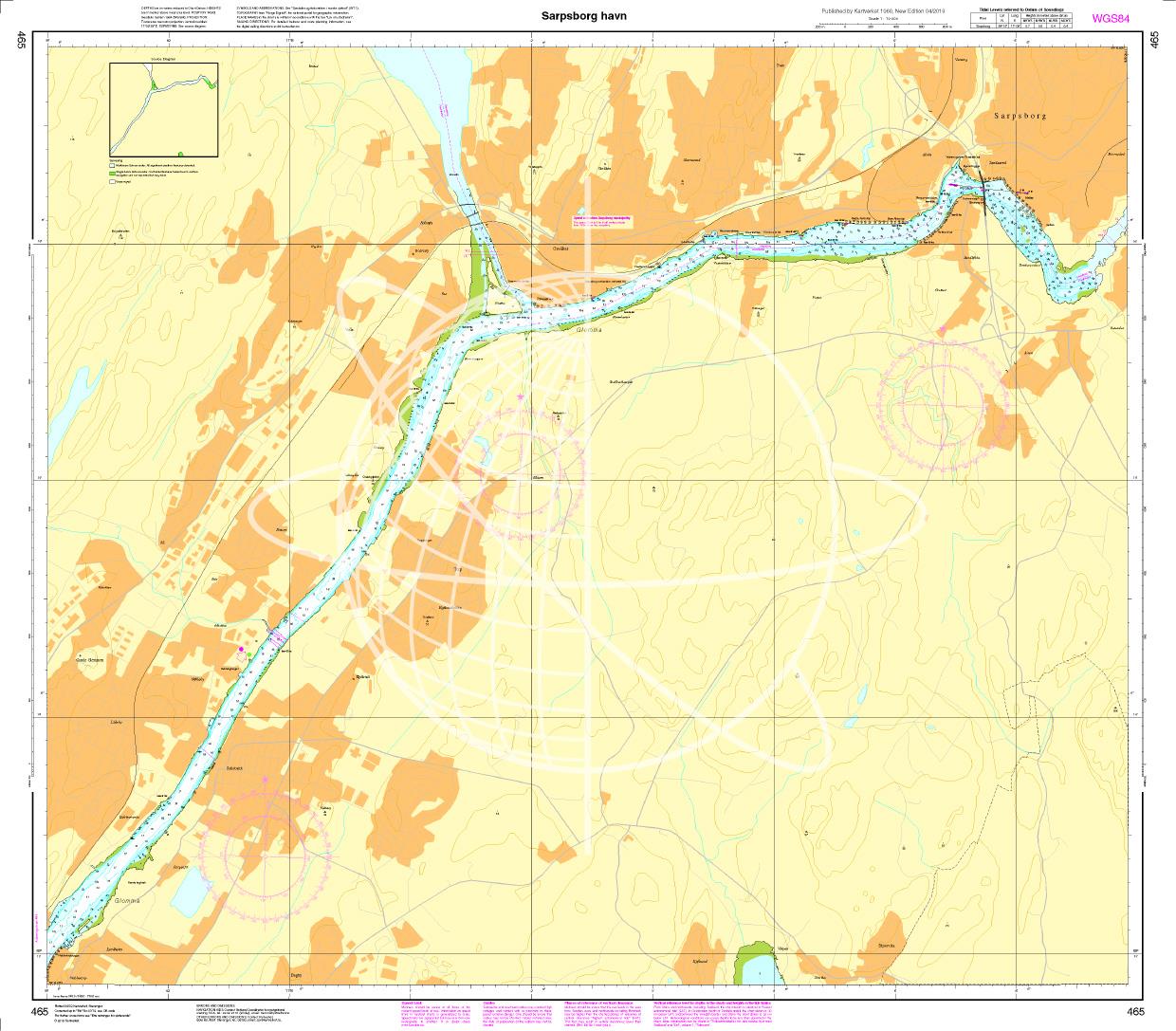
Sarpsborg havn. - POD cards are excluded from exchange.

€27.70*
Norwegen N 1 Oslofjord von Faerder - Hvaler - Halden
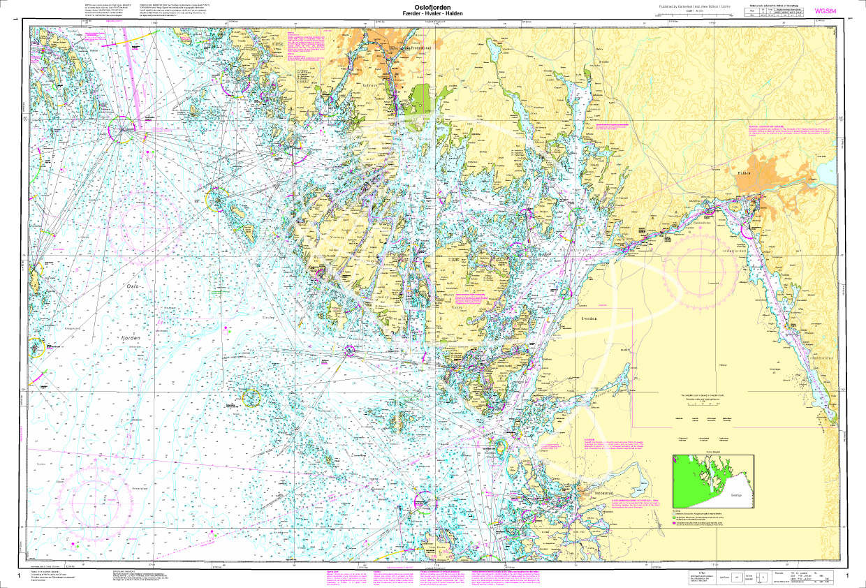
The Sea Chart N 1 covers the east coast and the offshore islands in the Oslofjord from Faerder via Hvaler to Halden. The detailed scale is 1:50000. We print the chart on customer reque

€27.70*
N 464 POD
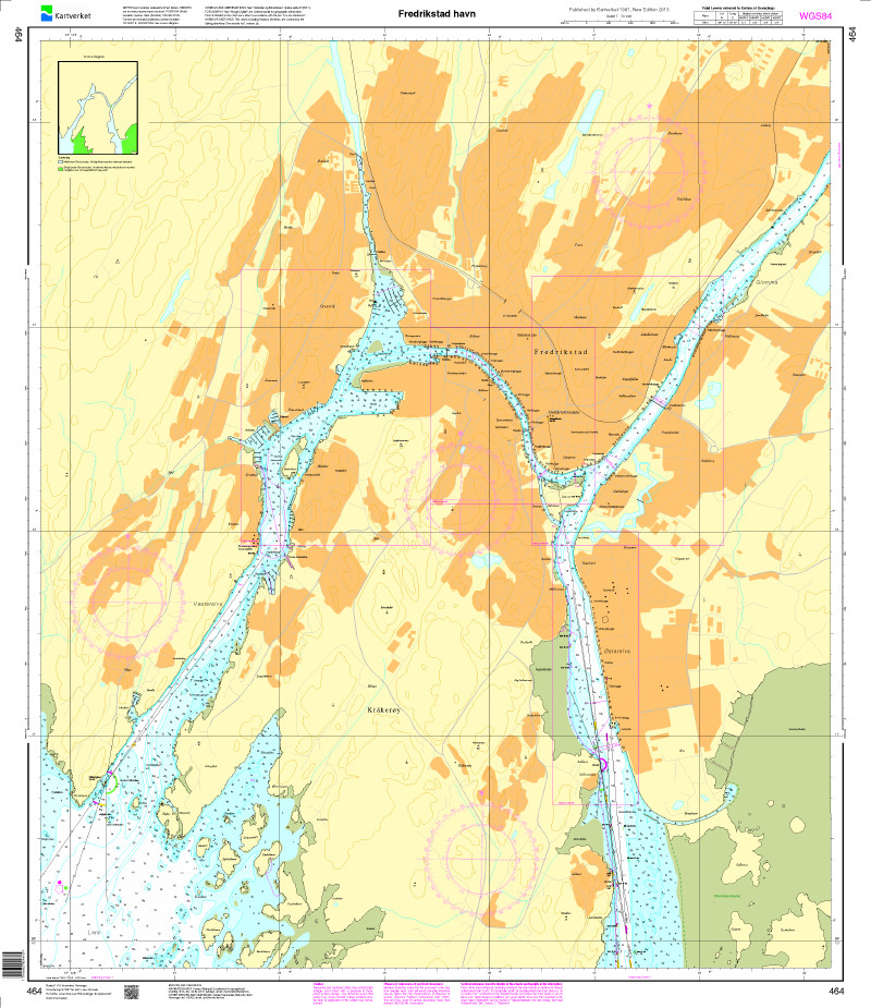
Fredrikstad havn. - POD cards are excluded from exchange.

€27.70*
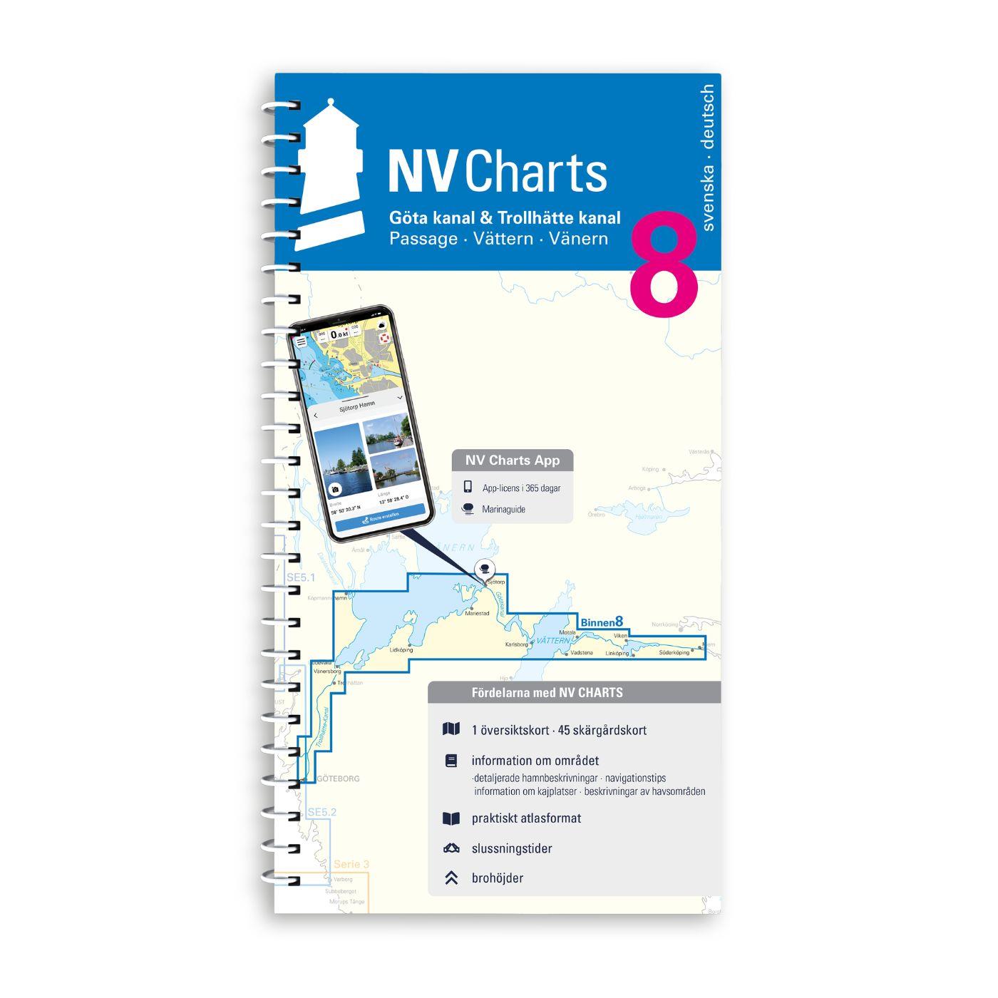
NV Binnenband 8 Göta Kanal & Trollhätte Kanal
Swedens blue ribbon of 190 km in length - is probably one of the most scenic waterways in Europe. Every water sports enthusiast would like to pass the 58 locks downhill and uphill the pictur

€44.99*

Reviews

0 of 0 reviews

Leave a review!

Share your experiences with other customers.