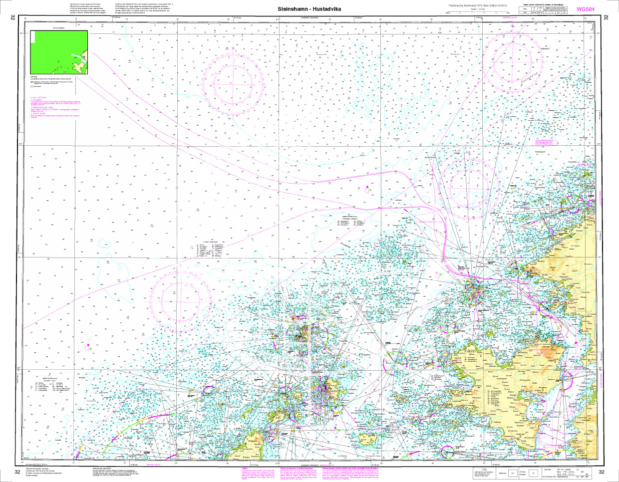
Norwegen N 32 Atlantik von Steinshamn auf Harøya bis Hustadvika

Chart ID: NOR 32
Scale: 1:50.000

€27.70*


Product number: 20533

Description

The map N 32 represents north of Ålesund the island of Harøya with the village of Steinshamn to the north to the 10 nautical mile section of Hustadvika which is on the shipping route from Molde to Kristiansund. The detailed scale is 1:50000. 

As additional maps we recommend N 35(Hustadvika) and N 128 (Kristiansund - Sunndalsøra).

We print the maps on customer request from the current data sets of the Norwegian Bureau of Hydrography using the print-on-demand (POD) method.


POD maps are excluded from exchange.


The official Norwegian nautical charts are not only suitable for water sports enthusiasts and anglers for navigation but are also very popular with cruise tourists.

For more information on the official Norwegian nautical charts printed by HanseNautic using the print-on-demand (POD) process please click here

Region: Europa, Atlantik, Norwegen
Size: Einzelkarte Papier
Area preview

With the help of our area preview, you can get an impression of which geographical region the product deals with or which areas a nautical chart covers.

Recommended by NV Charts

Products near this article

Products near this article

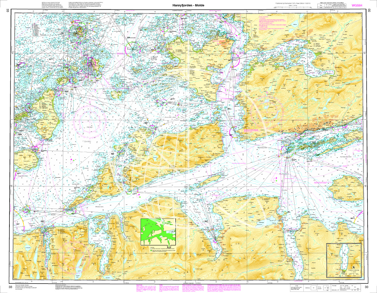
Norwegen N 33 Atlantik Harøyfjord bis Molde
The Map N 33 covers the Harøyfjord situated above Ålesund with the island of the same name as far as Molde. The detailed scale is 1:50.000. As additional maps we recommend&

€27.70*
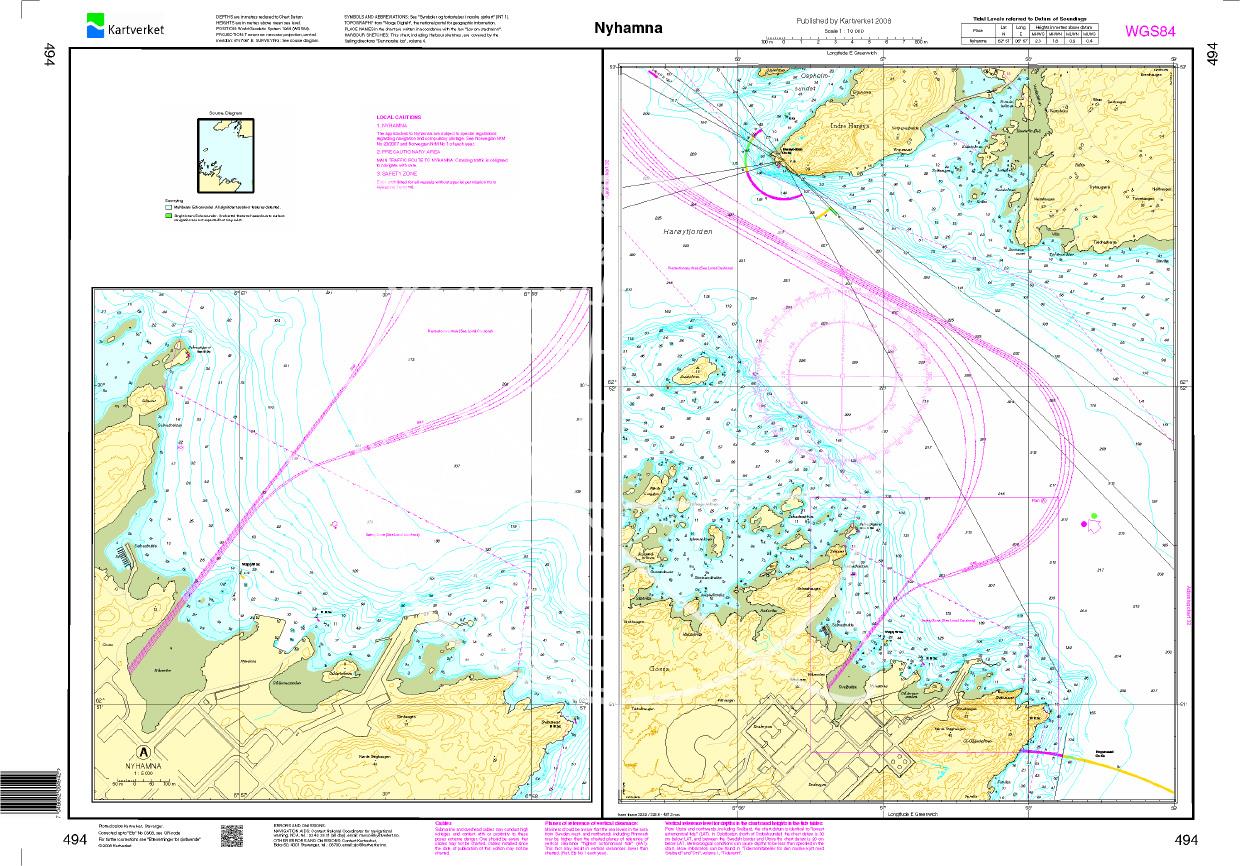
N 494 POD
Nyhamna. - POD cards are excluded from exchange.

€27.70*
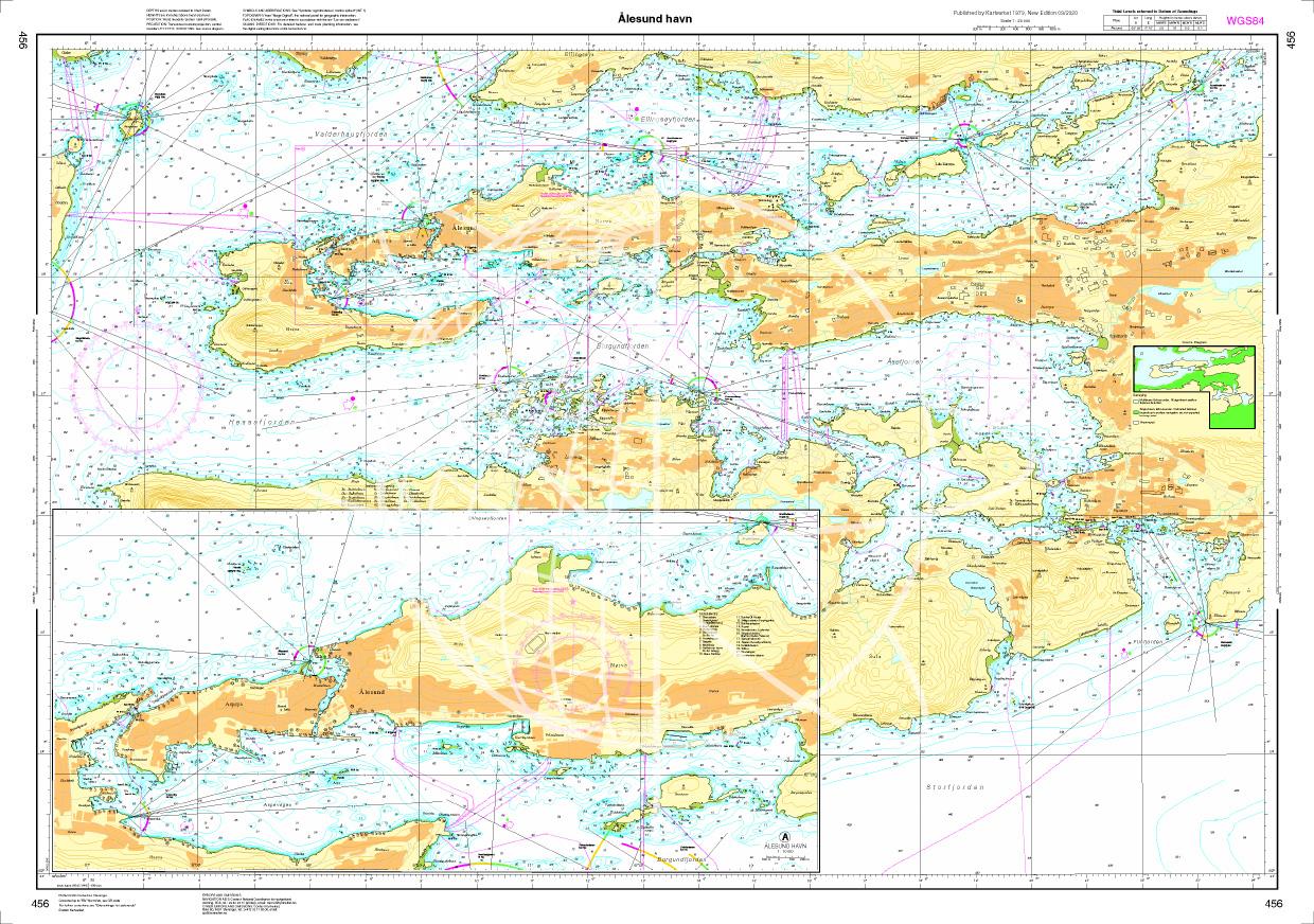
N 456 POD
Ålesund havn. - POD cards are excluded from exchange.

€27.70*
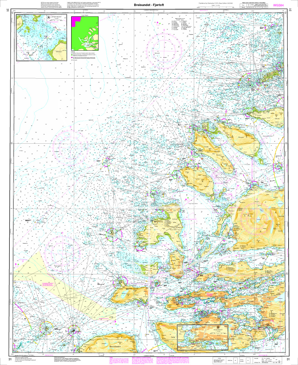
Norwegen N 31 Atlantik, von Breidsund bis Fjørtoft
The Map N 31 depicts the archipelago north-west of Ålesund . From Bredsund Ålesund to Fjørtoft everything is to scale. The detailed scale is 1:50.000. As additional

€27.70*
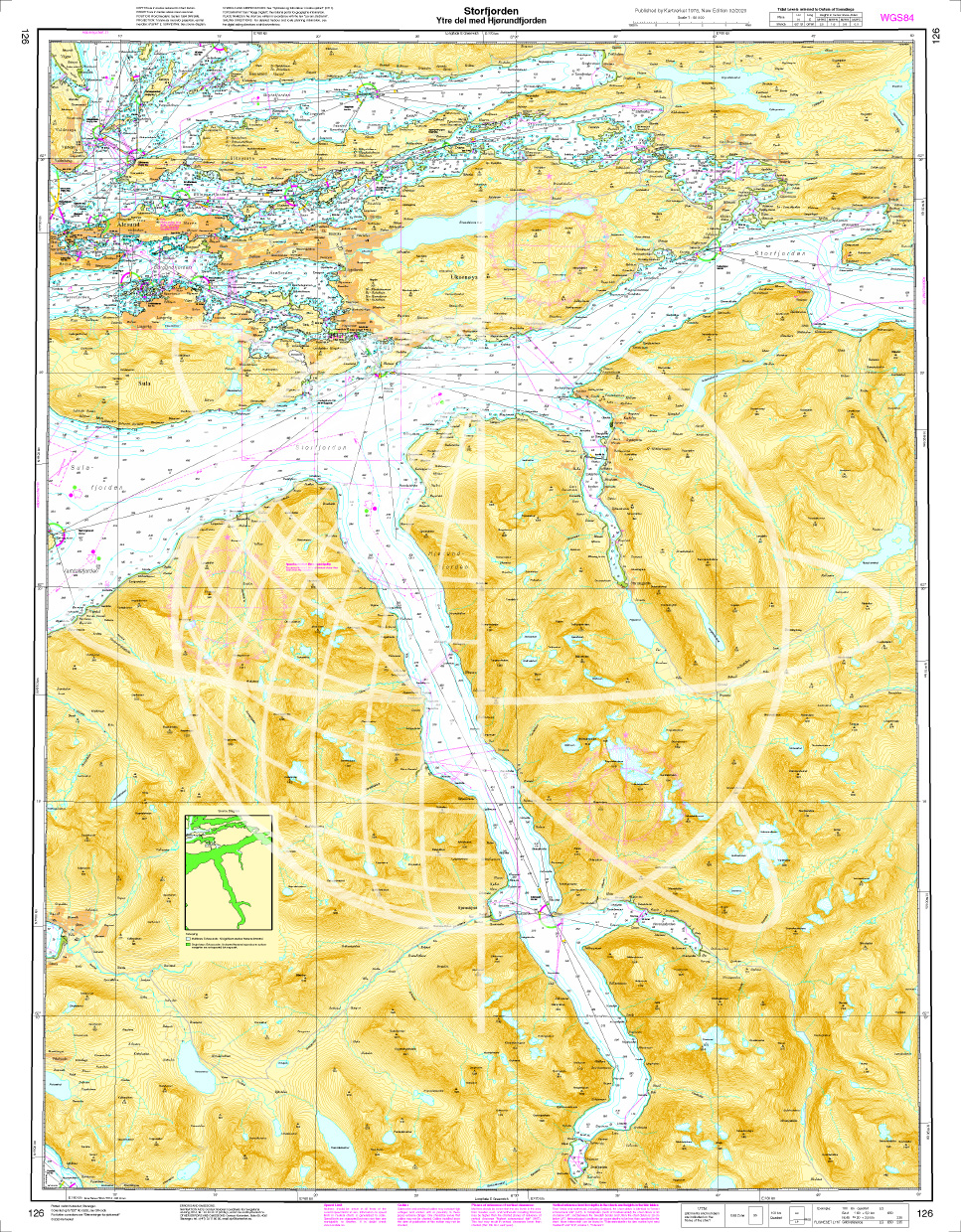
Norwegen N 126 Atlantik, Storfjord (äußerer Teil), Ålesund und Hjørundfjord
The map N 126 includes the Hjørundfjord Ålesund and the outer Storfjordto enter the famous Geirangerfjord. The detailed scale is 1:50000. As an additional map we recomm

€27.70*
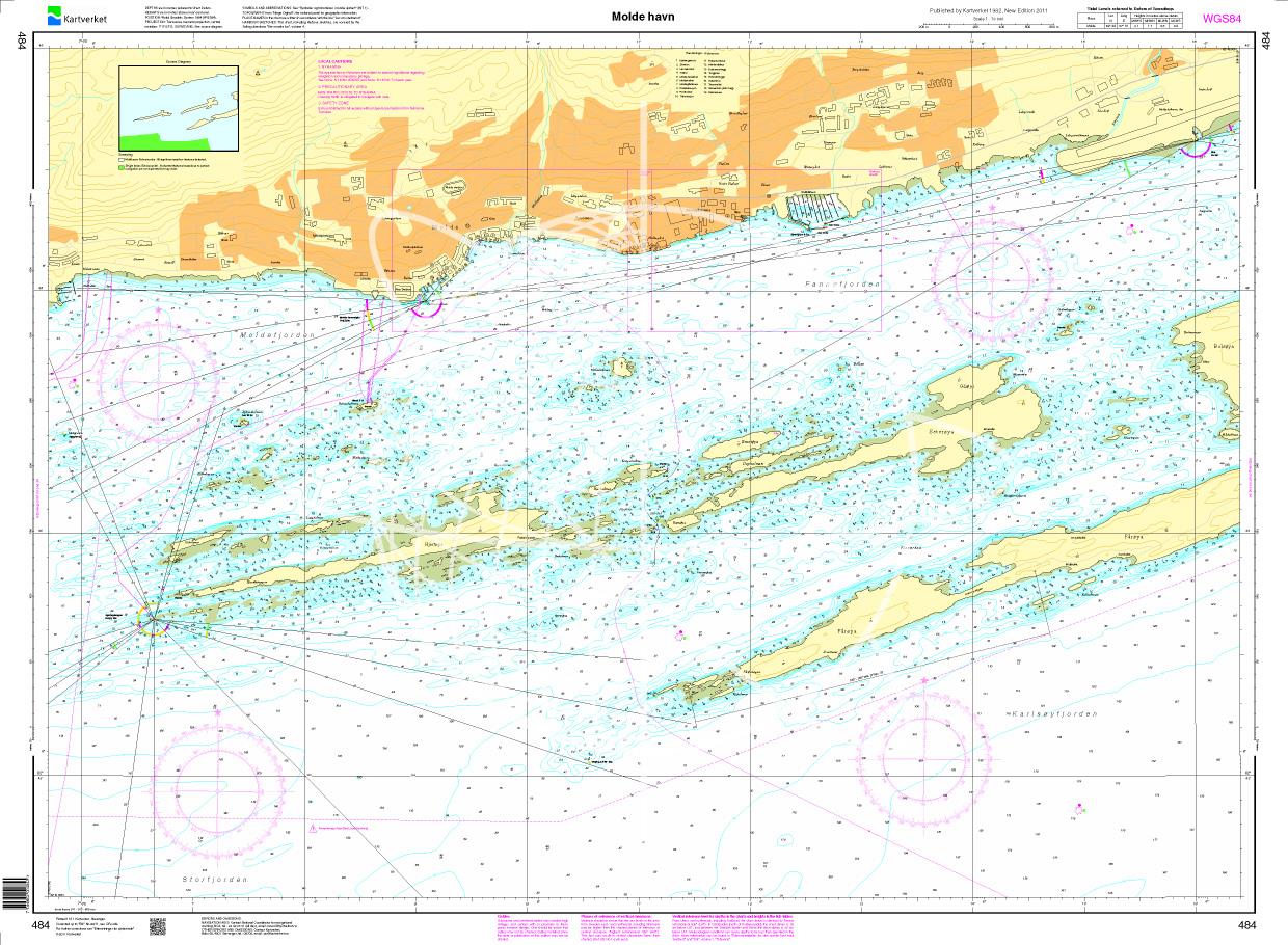
N 484 POD
Molde havn. - POD cards are excluded from exchange.

€27.70*
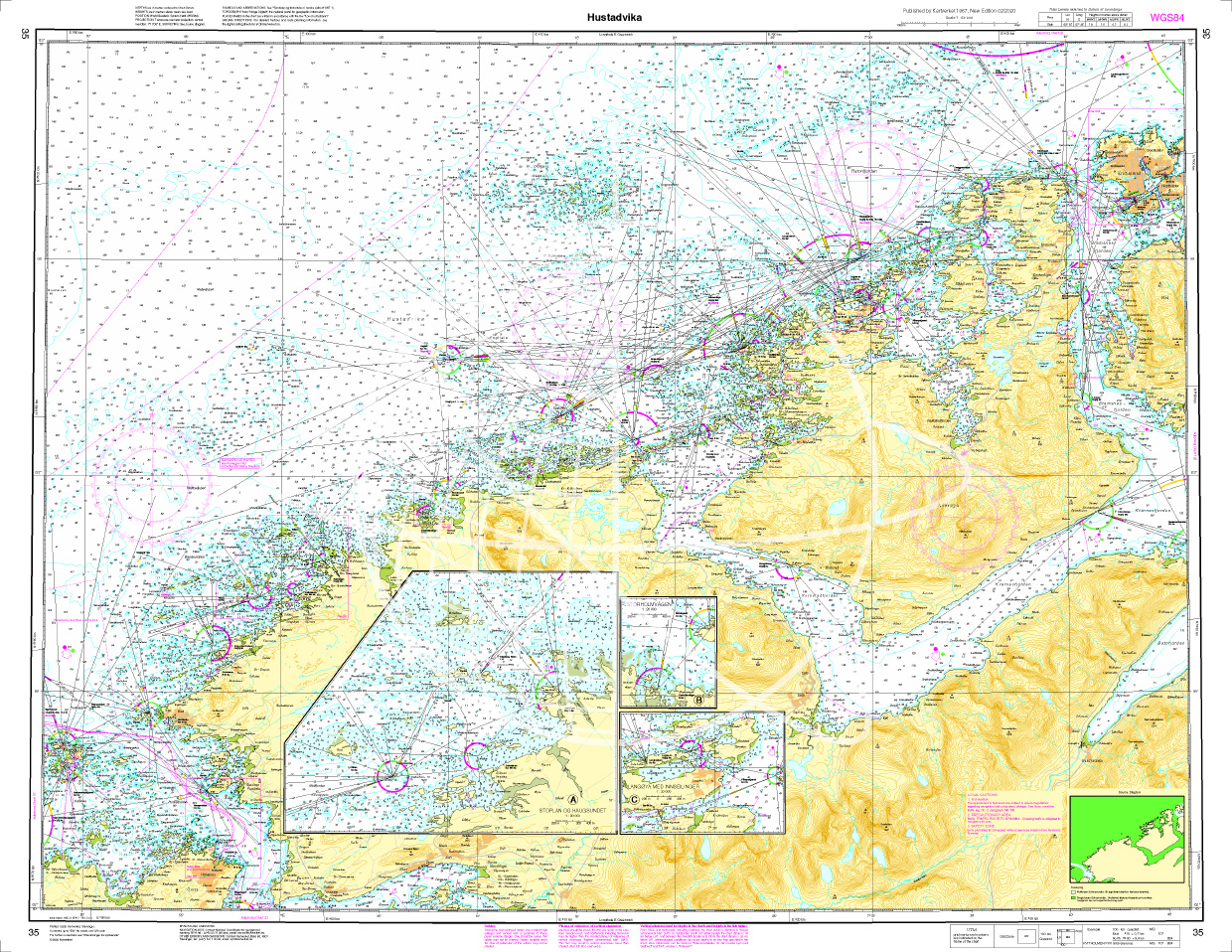
Norwegen N 35 Atlantik Hustadvika
The chart N 35 shows the 10 nautical mile stretch of Hustavika a shallow area full of islands and reefs. The ship route between Molde and Kristiansund runs along it. The detailed s

€27.70*
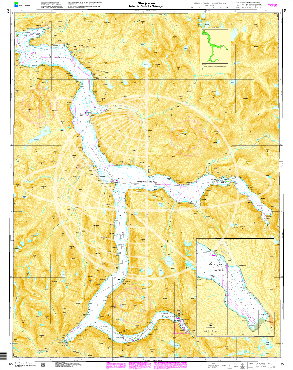
Norwegen N 127 Atlantik, Storfjord (innerer Teil), Sjøholt und Geirangerfjord
The map N 127  shows the inner part of the Storfjord as far as Sjøholt and the Geirangerfjord as far as the town of Geiranger. The detailed scale is 1:50.000. A

€27.70*
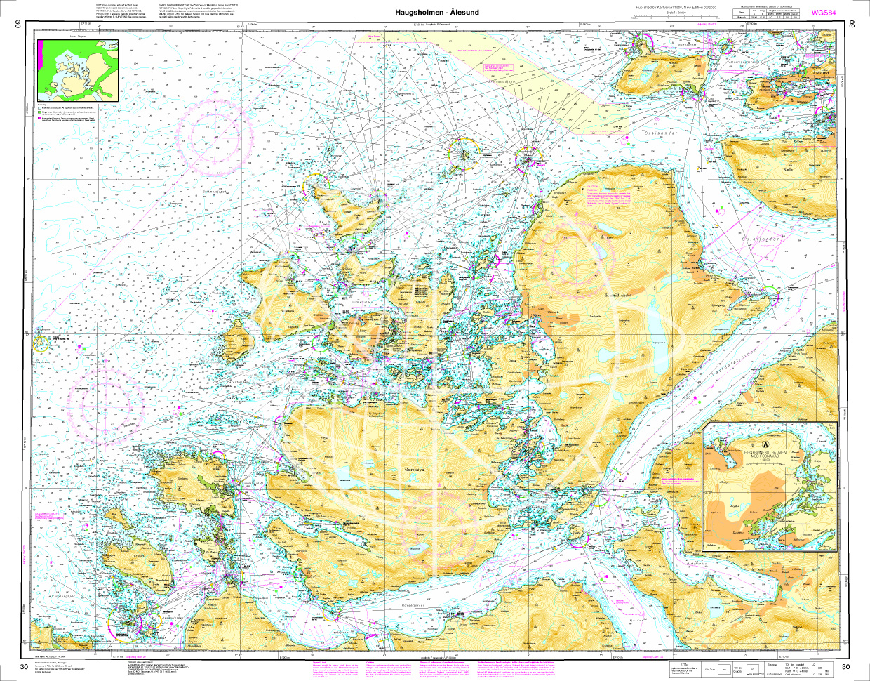
Norwegen N 30 Atlantik vom Leuchtfeucher Haugsholmen bis Ålesund
The map N 30 includes the region from the Haugsholmen beacon (north-east of Stadlandet) to Alesund. A good set of maps to escape the rough Atlantic and move in the inner archipelag

€27.70*
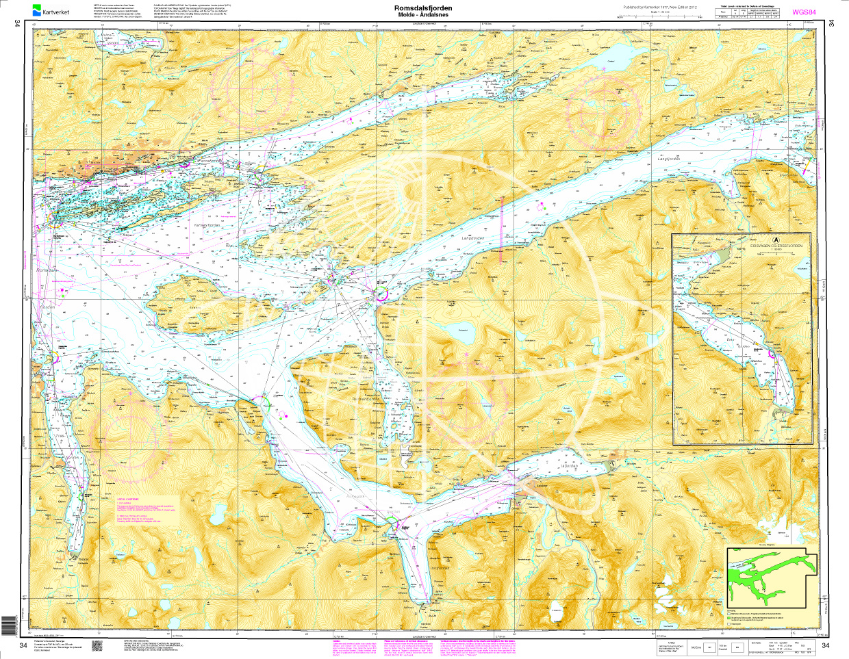
Norwegen N 34 Atlantik mit Romsdalsfjord von Molde bis Åndalsnes
The map N 34 shows the Romsdalsfjord from Molde to Åndalsnes. The detailed scale is 1:50.000. As additional maps we recommend N 33 (Haroeyfjorden - Molde). We print the map

€27.70*
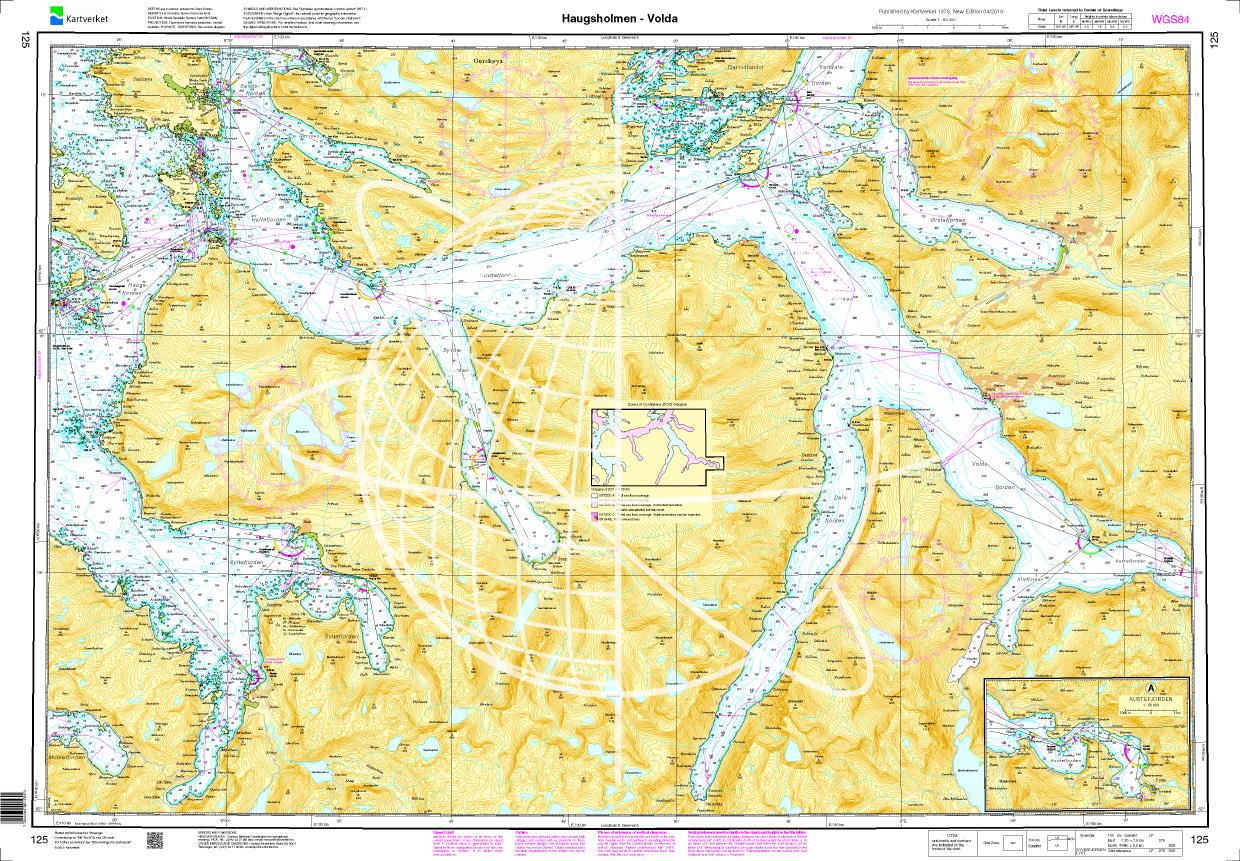
Norwegen N 125 Atlantik von Haugsholmen bis Volda
The Map N 125 shows the fjord landscape above Stad. The map is perfect for recovering from the dangerous cross lakes when circumnavigating Stadlandet.  The detailed scale is 1:

€27.70*

Reviews

0 of 0 reviews

Leave a review!

Share your experiences with other customers.