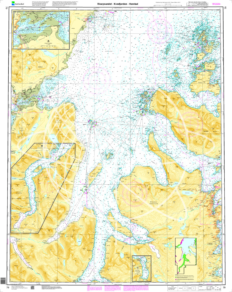
Norwegen N 79 Lofoten Hinnøya mit Risøysundet - Kvæfjorden - Harstad

Chart ID: NOR 79
Scale: 1:50.000

€27.70*


Product number: 20580

Description

The Map N 79 shows the waterways around Norwegns second largest island Hinnøya with Risøysundet - Kvæfjorden - Harstad. The detailed scale is 1:50.000. 

As an additional map we recommend N 81 (Nordmele - Andenes - Dverberg) and N 82 (Andfjorden). We print the maps on customer request from the current data sets of the Norwegian Bureau of Hydrography using the print-on-demand (POD) method.


POD maps are excluded from exchange.


The official Norwegian nautical charts are not only suitable for water sports enthusiasts and anglers for navigation but are also very popular with cruise tourists.

For more information on the official Norwegian nautical charts printed by HanseNautic using the print-on-demand (POD) process please click here


Region: Europa, Atlantik, Norwegen
Size: Einzelkarte Papier
Area preview

With the help of our area preview, you can get an impression of which geographical region the product deals with or which areas a nautical chart covers.

Recommended by NV Charts

Related products to this item

Related products to this item

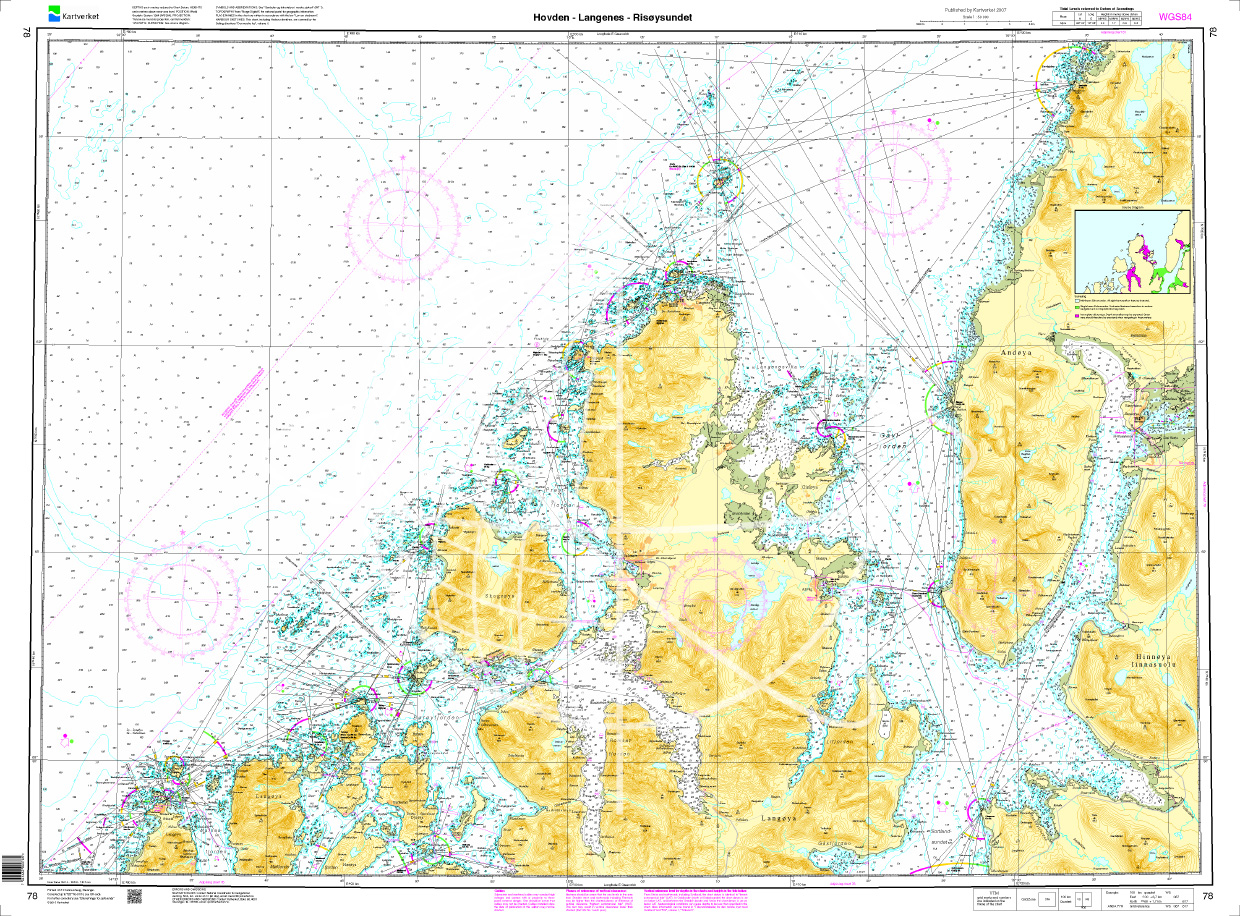
Norwegen N 78 - Lofoten von Hovden über Langenes bis Risøysundet
The Sea Chart N 78 covers the northwest coast of Lofoten from Hovden to Risøysundet and the island of Langøya in detail. Coastal chart / nautical chart at a scale of 1:50000. We print the charts o

€27.70*
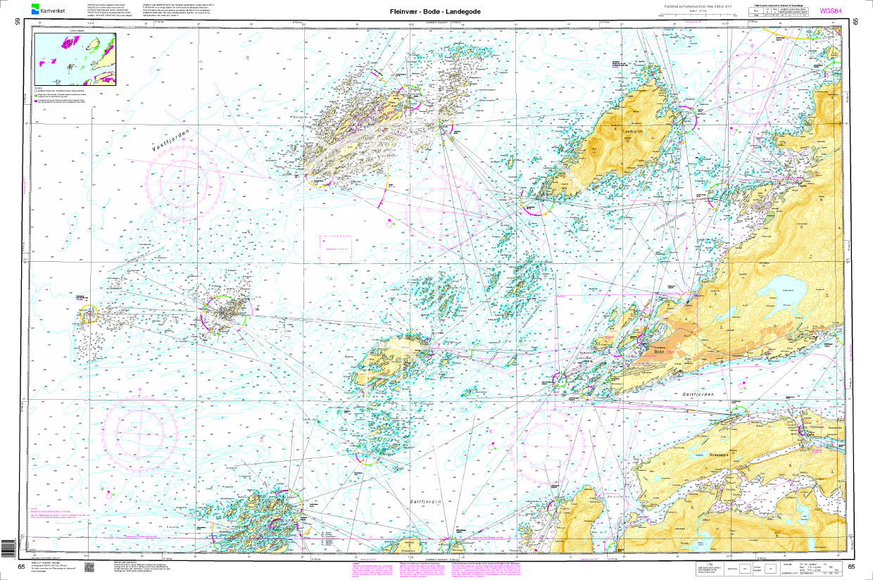
Norwegen N 65 Atlantik Fleinvær - Bodø - Langegøde
The Map N 65 shows the archipelago-rich islands south to northwest of Bodø. The detailed scale is 1:50000. As an additional map we recommend N 476 (Bodø Havn). We print

€27.70*
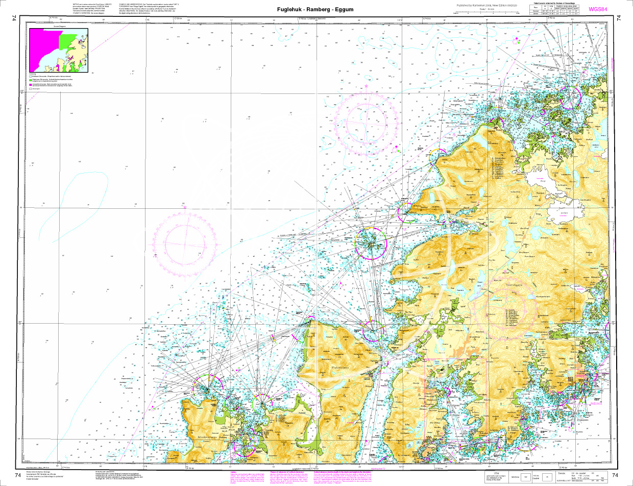
Norwegen N 74 Lofoten Fuglehuk - Ramberg - Eggum
The map N 74 shows the west coast of Lofoten with Fuglehuk - Ramberg - Eggum The detailed scale is 1:000. The detailed scale is 1:50.000. As an additional map we recomm

€27.70*
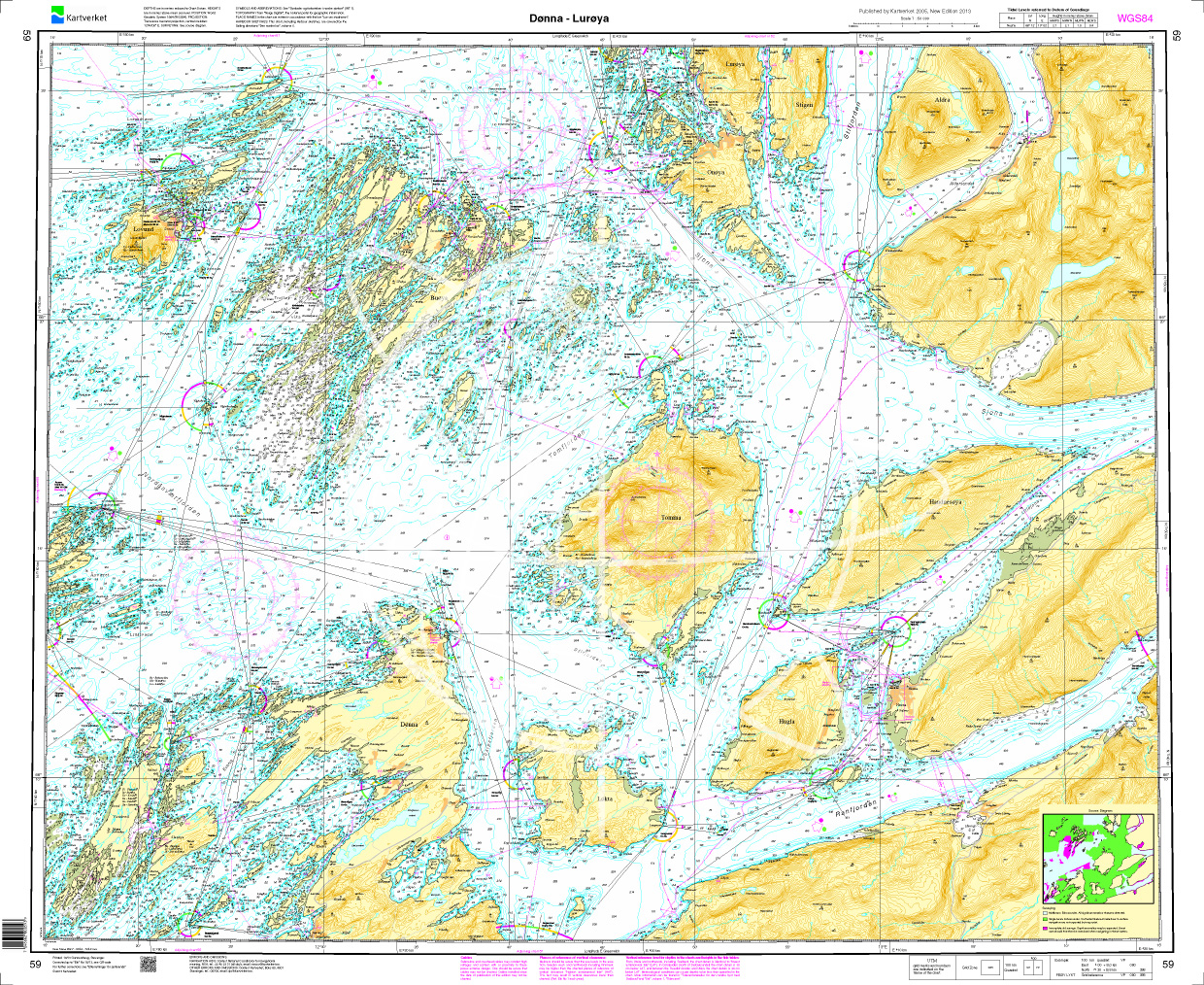
Norwegen N 59 Atlantik von Dønna bis Lurøya
The map N 59 includes the island groups Dønna to Lurøya off the Norwegian coast. The detailed scale is 1:50000. As an additional map we recommend N 60 (Ranfjorden). We prin

€27.70*
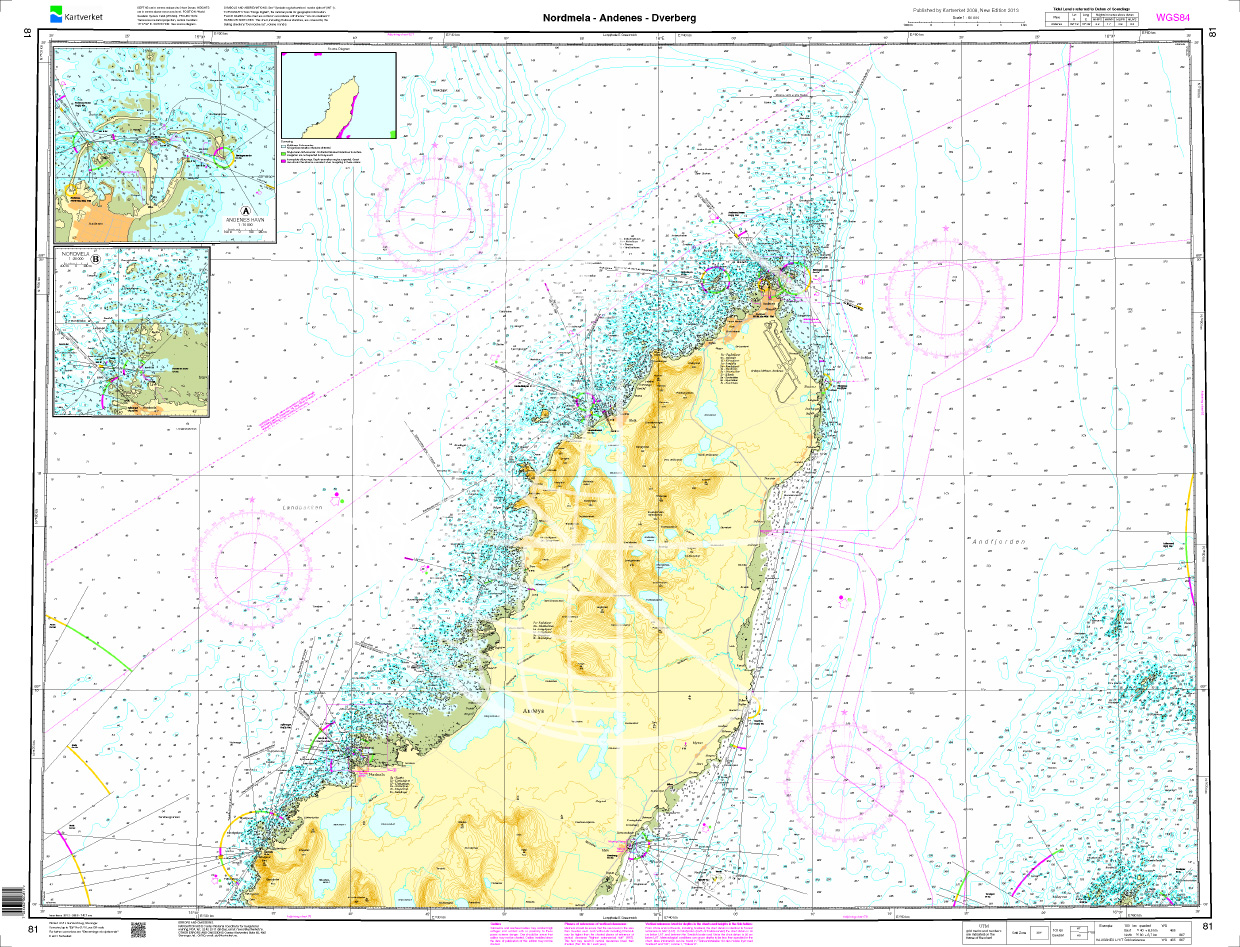
Norwegen N 81 Lofoten Andoya Nordmele - Andenes - Dverberg
The map N 81 shows the waterways around Andoya the northernmost island of Lofoten with Nordmele - Andenes - Dverberg. The detailed scale is 1:50.000. As an additional map we recomm

€27.70*
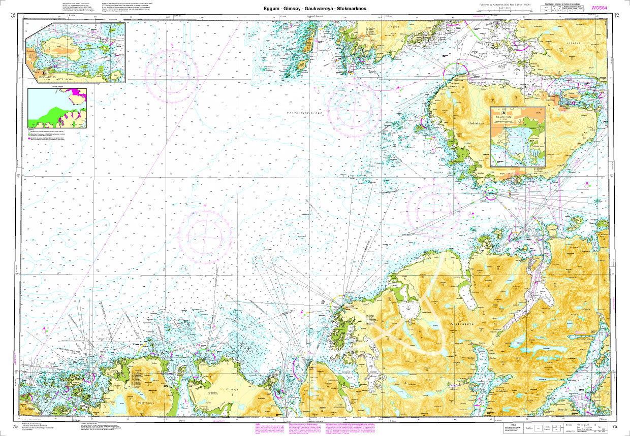
Norwegen N 75 Lofoten Eggum - Gimsoey - Gaukvaeroey - Stokmarknes
The Map N 75 shows the west side of Lofoten with Eggum - Gimsoey - Gaukvaeroey - Stokmarknes. The detailed scale is 1:50.000. As an additional map we recommend N 76 (Vesterålen/Sto

€27.70*
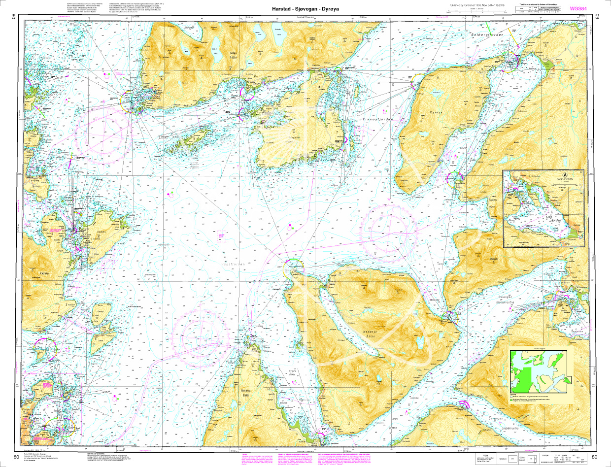
Norwegen N 80 Atlantik Harstad - Sjøvegan - Dyrøya
The map N 80 shows the waterways around Astafjorden and Vagsfjorden with Harstad - Sjøvegan - Dyrøya. The detailed scale is 1:50.000. As an additional map we recommend N 81 (Nordmele -

€27.70*

Products near this article

Products near this article

Norwegen N 81 Lofoten Andoya Nordmele - Andenes - Dverberg
The map N 81 shows the waterways around Andoya the northernmost island of Lofoten with Nordmele - Andenes - Dverberg. The detailed scale is 1:50.000. As an additional map we recomm

€27.70*
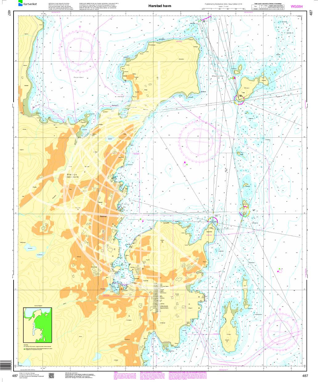
N 487 POD
Harstad havn. - POD cards are excluded from exchange.

€27.70*
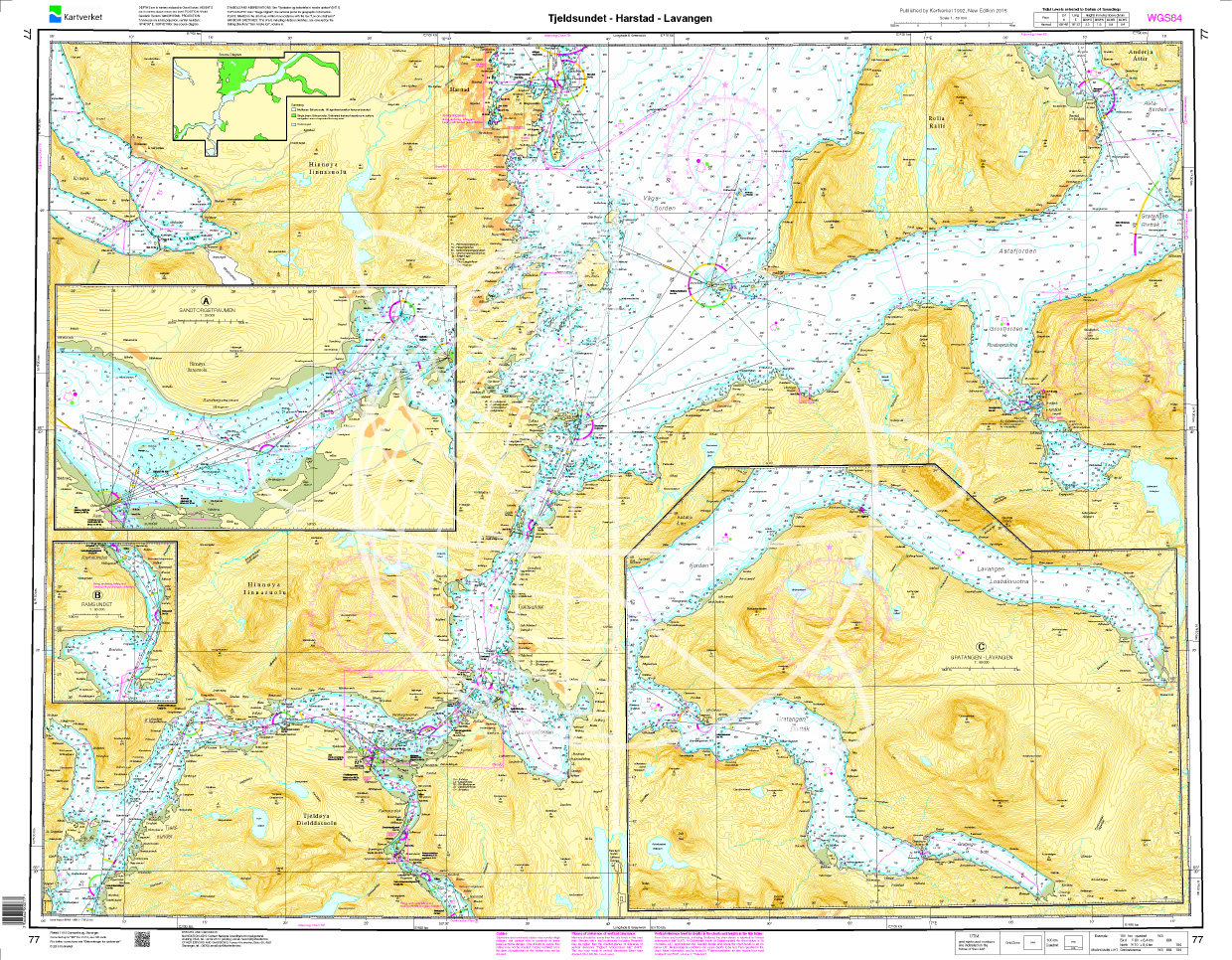
Norwegen N 77 Atlantik Tjeldsundet - Harstad - Lavangen
The Sea Chart N 77 covers in detail the coasts of northern Norway at the level of the Lofoten Islands. This includes the Tjeldsund and the sea area from Harstad in the northwest to Lavangen in the eas

€27.70*
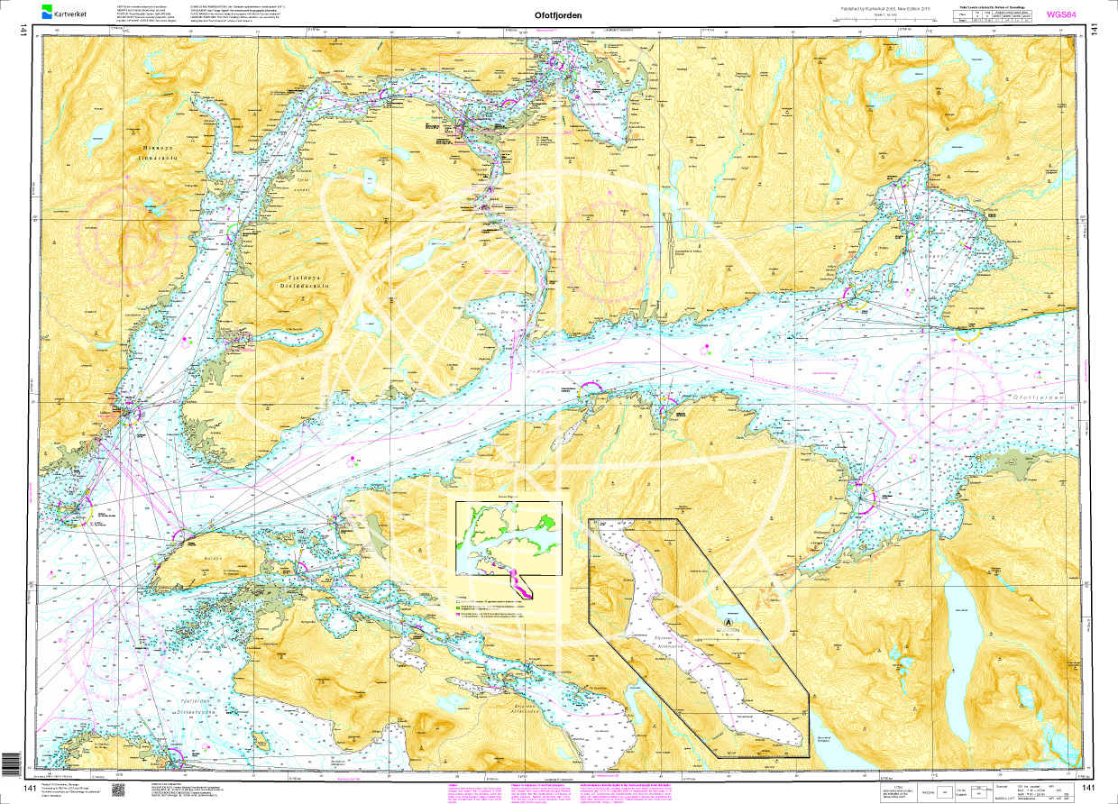
Norwegen N 141 Atlantik Ototfjorden
The map N 141 shows Ototfjorden. The detailed scale is 1:50.000. As an additional map we recommend N 142 (Narvik - Skjomen - Rombaken) and N 461 (Narvik havn).We print

€27.70*
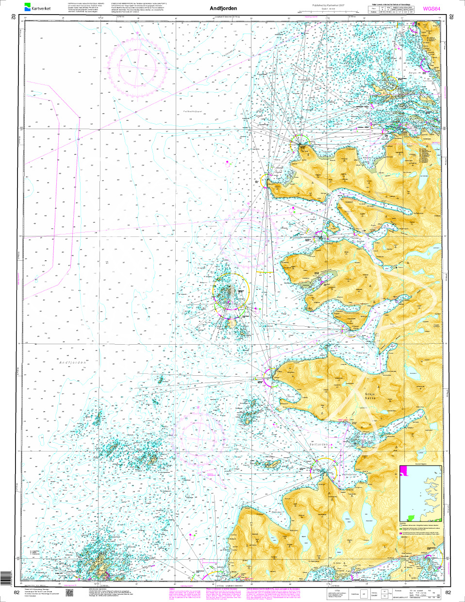
Norwegen N 82 Lofoten Andfjorden
The map N 82 shows the 60km long and 30km wide strait Andfjorden northeast of Lofoten. The detailed scale is 1:50.000. As an additional map we recommend N 81 (Nordmele - Andenes - Dver

€27.70*
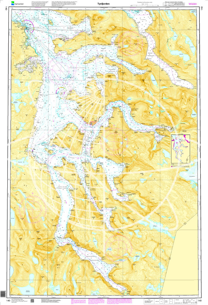
Norwegen N 140 Atlantik Tysfjorden
The map N 140 shows Tysfjorden which lies in the province of Nordland. The detailed scale is 1:50.000. As an additional map we recommend N 141 (Ofotfjorden) or else N 69 (T

€27.70*
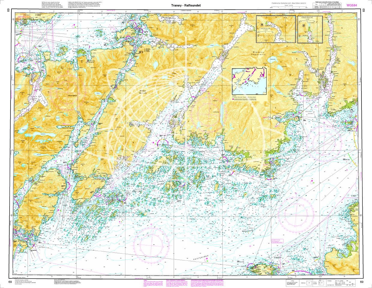
Norwegen N 69 Lofoten Tranoey - Raftsunde
The map N 68 shows the Tranoy lighthouse to the Raftsund waterway in Lofoten. The detailed scale is 1:50.000. As an additional map we recommend N 72 (Lofotodden - Stamsund) or else

€27.70*
Norwegen N 78 - Lofoten von Hovden über Langenes bis Risøysundet
The Sea Chart N 78 covers the northwest coast of Lofoten from Hovden to Risøysundet and the island of Langøya in detail. Coastal chart / nautical chart at a scale of 1:50000. We print the charts o

€27.70*
Norwegen N 80 Atlantik Harstad - Sjøvegan - Dyrøya
The map N 80 shows the waterways around Astafjorden and Vagsfjorden with Harstad - Sjøvegan - Dyrøya. The detailed scale is 1:50.000. As an additional map we recommend N 81 (Nordmele -

€27.70*
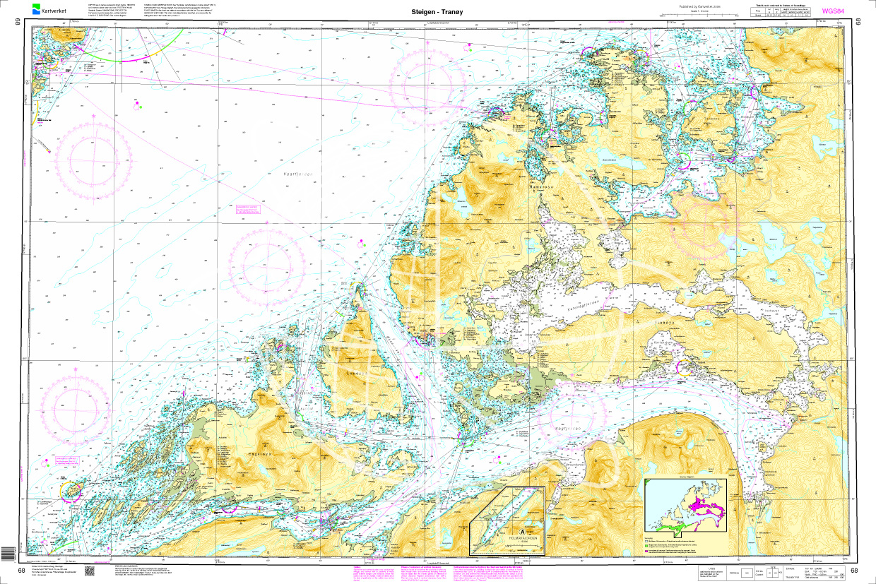
Norwegen N 68 Atlantik Steigen - Sagfjorden - Tranoey
The map N 68 shows Steigen with the Sagfjorden up to the Tranoey lighthouse. The detailed scale is 1:50000. As an additional map we recommend N 72 (Lofotodden - Stamsund) or el

€27.70*
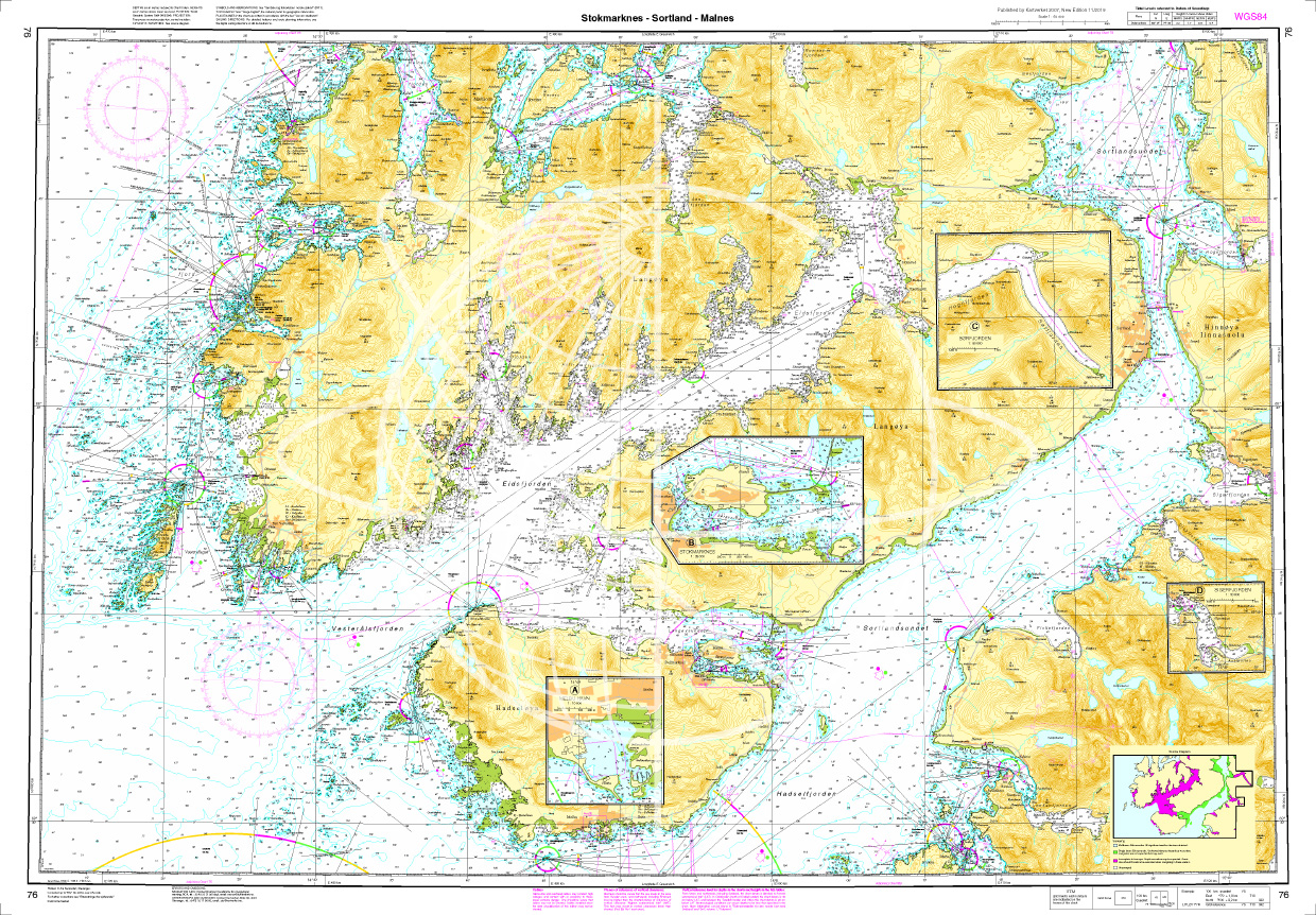
Norwegen N 76 Lofoten Vesterålen mit Stokmarknes - Sortland - Malnes
The map N 76 shows the offshore island of Vesterålen with Stokmarknes - Sortland - Malnes.The detailed scale is 1:50.000. The detailed scale is 1:50.000. As an addition

€27.70*

Reviews

0 of 0 reviews

Leave a review!

Share your experiences with other customers.