
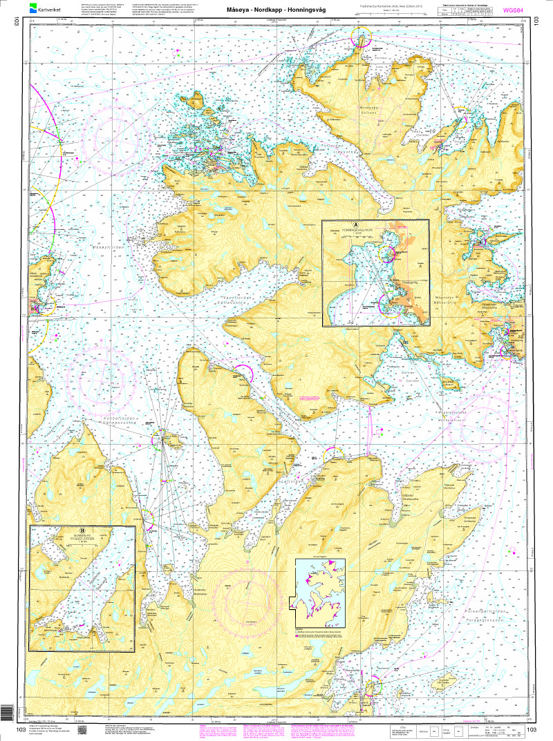

Norwegen N 103 Nordkapp mit Måsøy - Nordkapp - Honningsvåg
Description
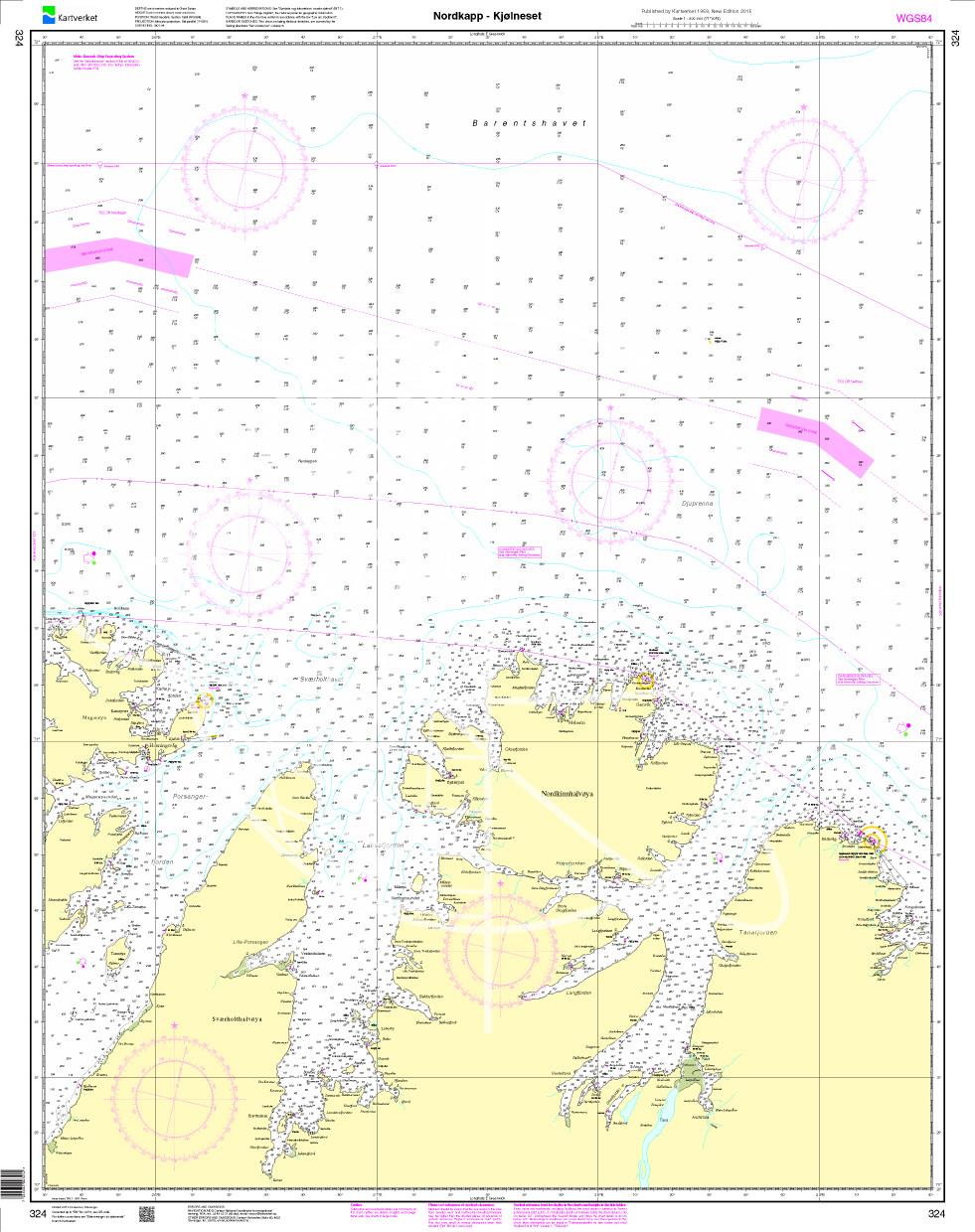
Map N 103 covers the further waterways with Måsøy - Nordkapp - Honningsvåg around Nordkapp. The detailed scale is 1:50000.
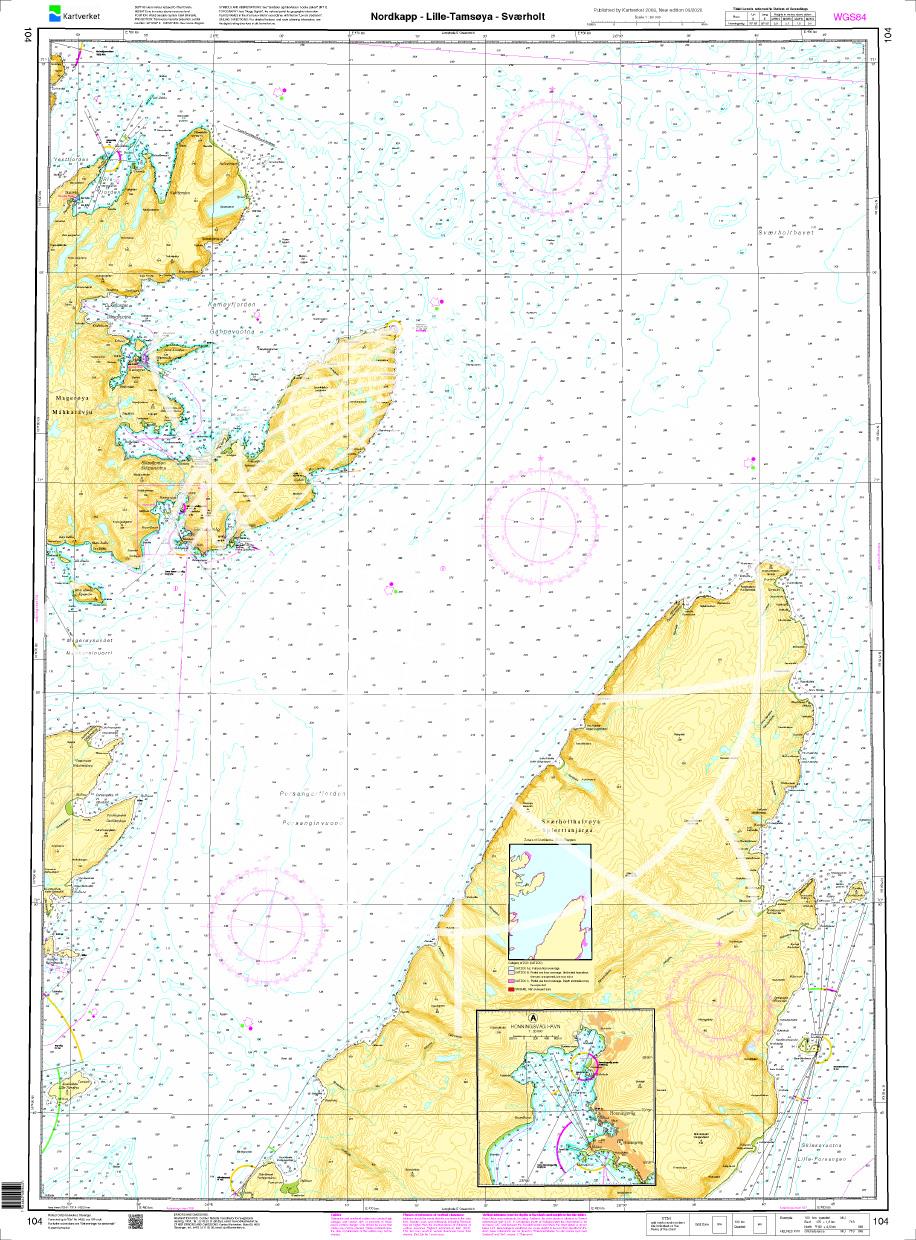
As an additional map we recommend N 104 (Nordkapp - Litle Tamsøya - Sværholt).
We print the charts on customer request from the current data sets of the Norwegian Bureau of Hydrography using the print-on-demand (POD) method.
POD charts are excluded from exchange.
The official Norwegian nautical charts are not only suitable for water sports enthusiasts and anglers to navigate but are also very popular with cruise ship tourists.
For more information on the official Norwegian nautical charts printed by HanseNautic using the print-on-demand (POD) process please click here
| Region: | Europa, Atlantik, Norwegen |
|---|---|
| Size: | Einzelkarte Papier |
With the help of our area preview, you can get an impression of which geographical region the product deals with or which areas a nautical chart covers.
Recommended by NV Charts
Recommended by NV Charts

Related products to this item
Related products to this item
Products near this article
Products near this article
Reviews
Login