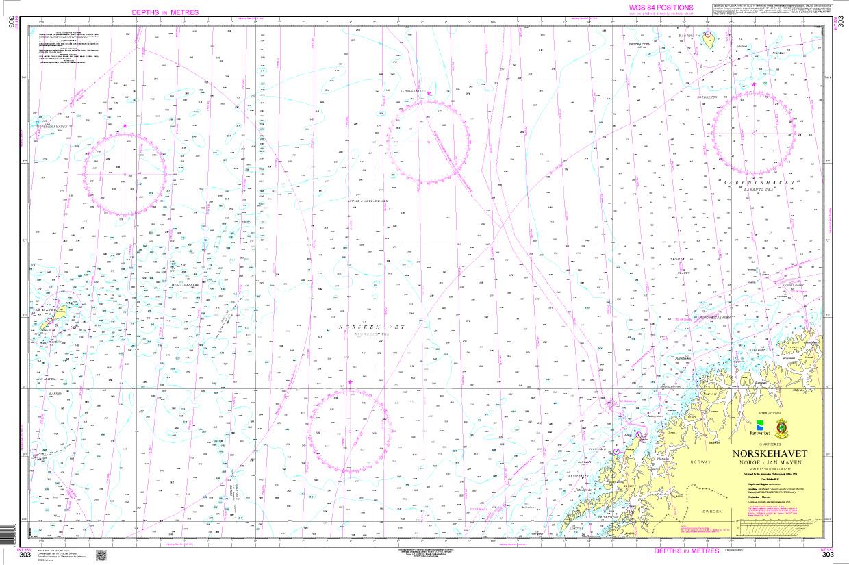
N 303 POD

Chart ID: NOR 303
Scale: 1:3.500.000

€27.70*


Product number: 20648

Description

Norskehavet Norge - Jan Mayen. - POD cards are excluded from exchange.
Motiv: Seekarte
Region: Atlantik, Norwegen
Area preview

With the help of our area preview, you can get an impression of which geographical region the product deals with or which areas a nautical chart covers.

Products near this article

Products near this article

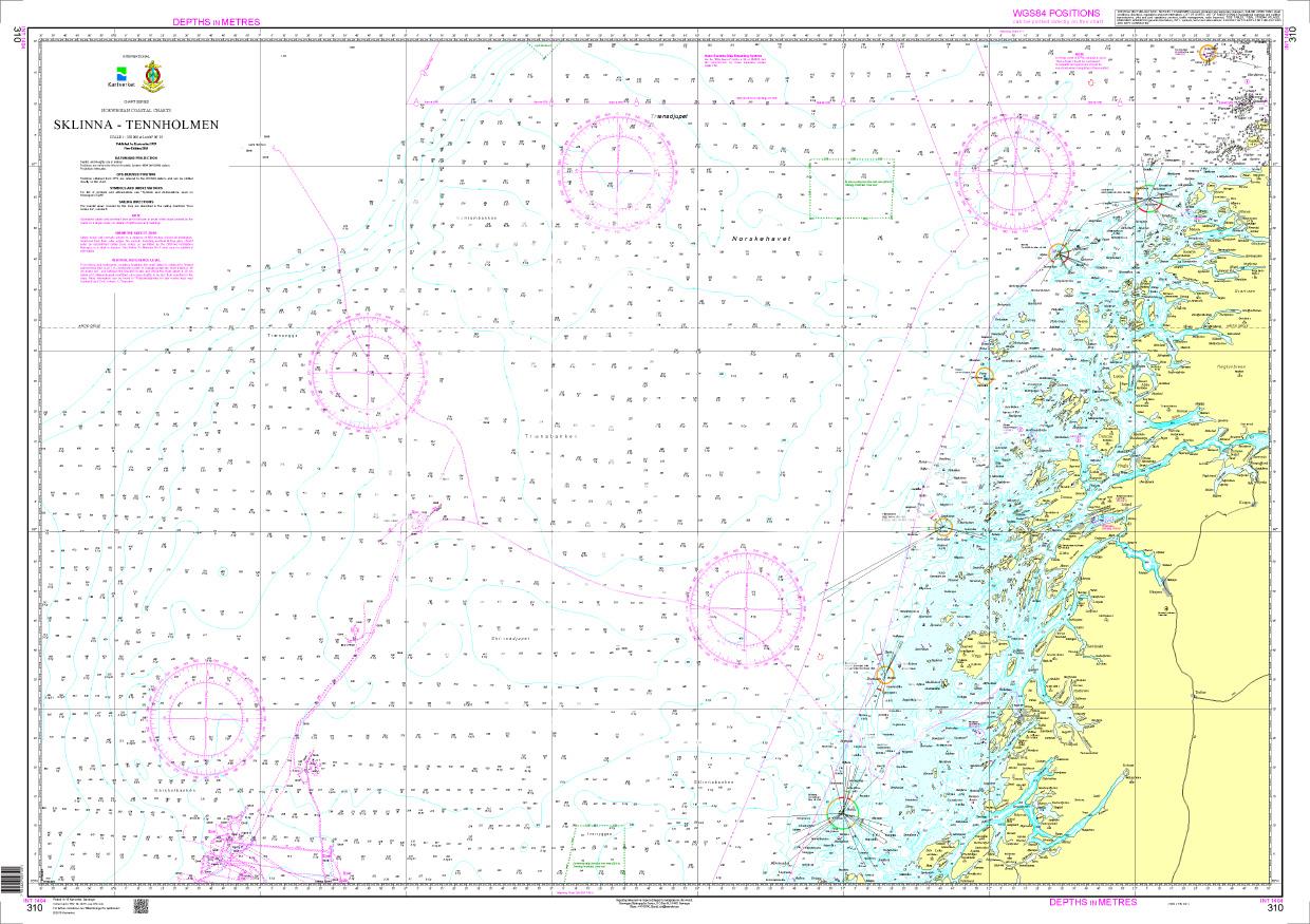
N 310 POD
Sklinna - Tennholmen. - POD cards are excluded from exchange.

€27.70*
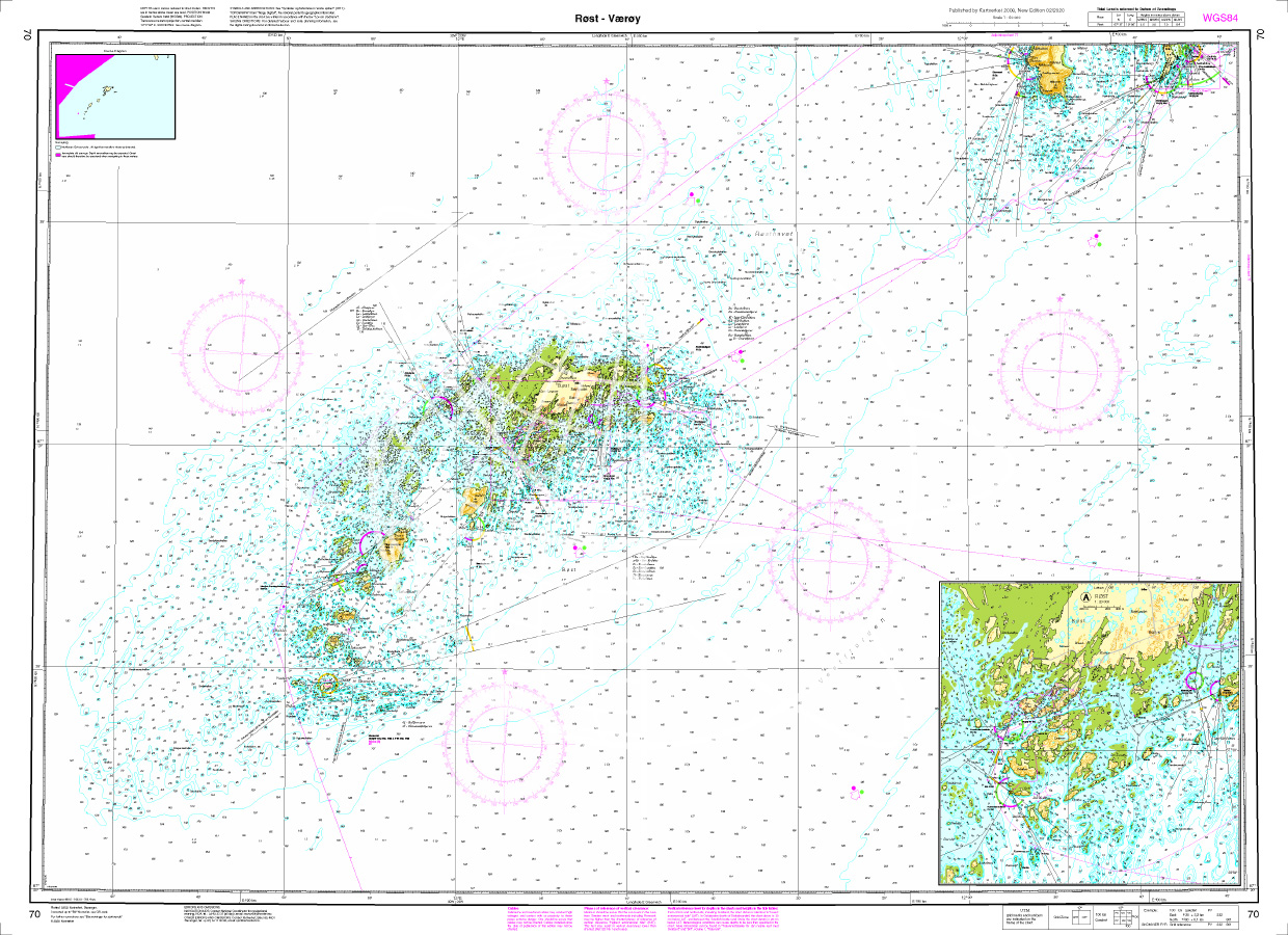
Norwegen N 70 Lofoten Roest - Væroey
The map N 70 shows the waterways off the windiest and birdiest islands Roest - Væroey south of Lofoten. The detailed scale is 1:50.000. As an additional map we recommend N 71 (

€27.70*
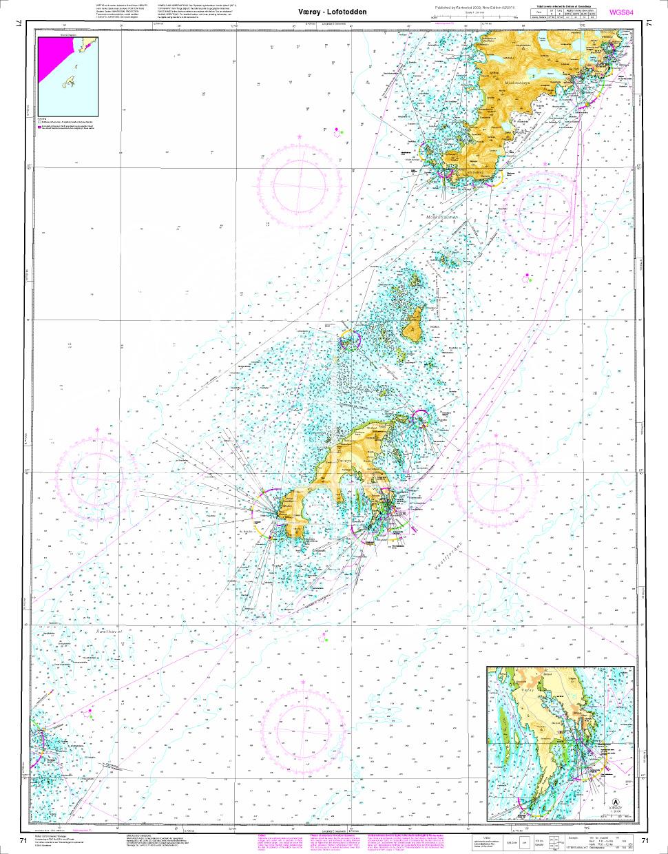
Norwegen N 71 Lofoten Vaeroey - Lofotodden
The Map N 71 shows the waterways from  Vaeroey - Lofotodden in Lofoten. The detailed scale is 1:50.000. As an additional map we recommend N 70 (Roest - Væroey)or else N&nbs

€27.70*
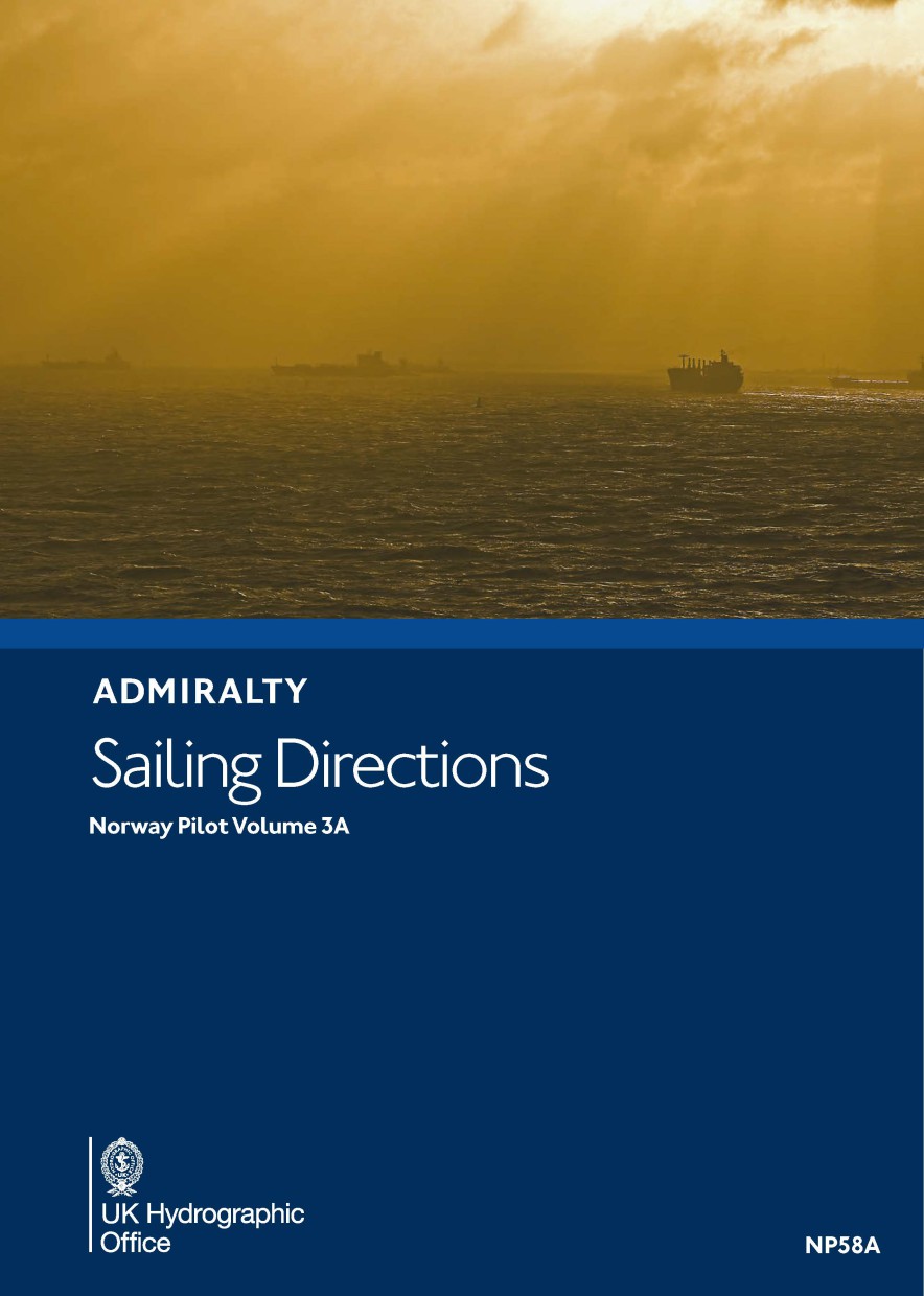
ADMIRALTY NP58A Norway Pilot Vol 3A
Official Sailing Handbook English ADMIRALTY Sailing Directions NorwayCovers the offshore and coastal waters of Norway from Risværfjord to the northern part of Vesterålen. This also includes Lofoten.NP

€109.90*
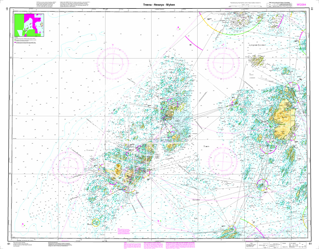
Norwegen N 61 Atlantik Træna, Nesøya, Myken
The Map N 61 covers the waters of the Helgeland coast as well as the outer areas of Træna Nesøya and Myken. The detailed scale is 1:50000. As additional maps we recommend N 63 (Myken -

€27.70*
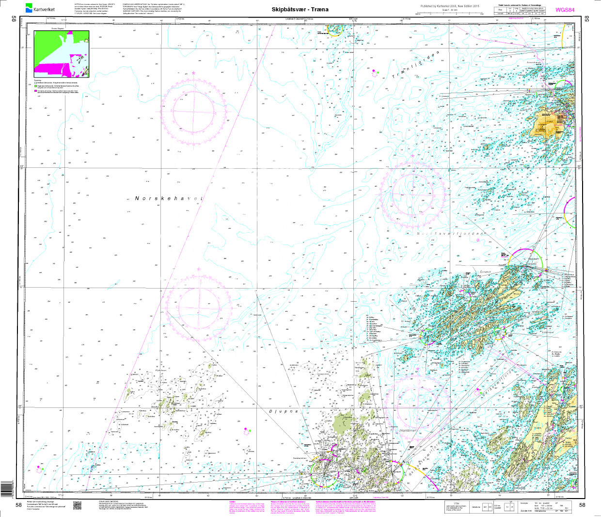
Norwegen N 58 Atlantik von Skipbåtsvær bis Træna
The map N 58 includes the western island groups from Skipbåtsvær to Træna. The detailed scale is 1:50000. As an additional map we recommend N 59 (Dønna - Lurøya). We print

€27.70*
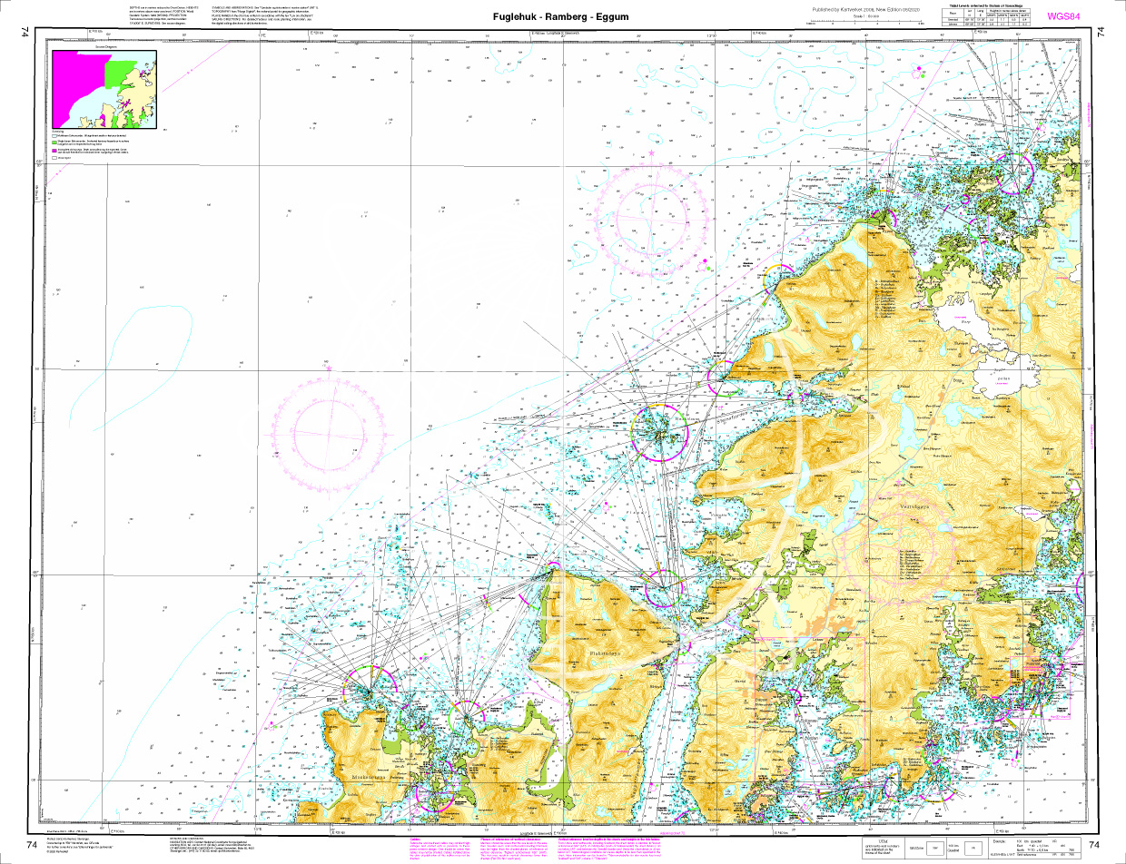
Norwegen N 74 Lofoten Fuglehuk - Ramberg - Eggum
The map N 74 shows the west coast of Lofoten with Fuglehuk - Ramberg - Eggum The detailed scale is 1:000. The detailed scale is 1:50.000. As an additional map we recomm

€27.70*
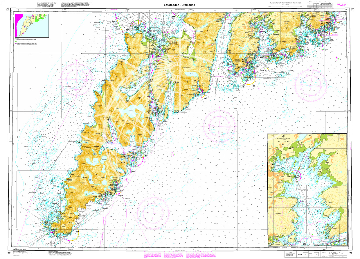
N 72 POD Lofoten Lofotodden - Stamsund
The Map N 72 represents the National Park Lofotodden to Stamsund in Lofoten. The detailed scale is 1:50000. As an additional map we recommend N 71 (Vaeroey - Lo

€27.70*
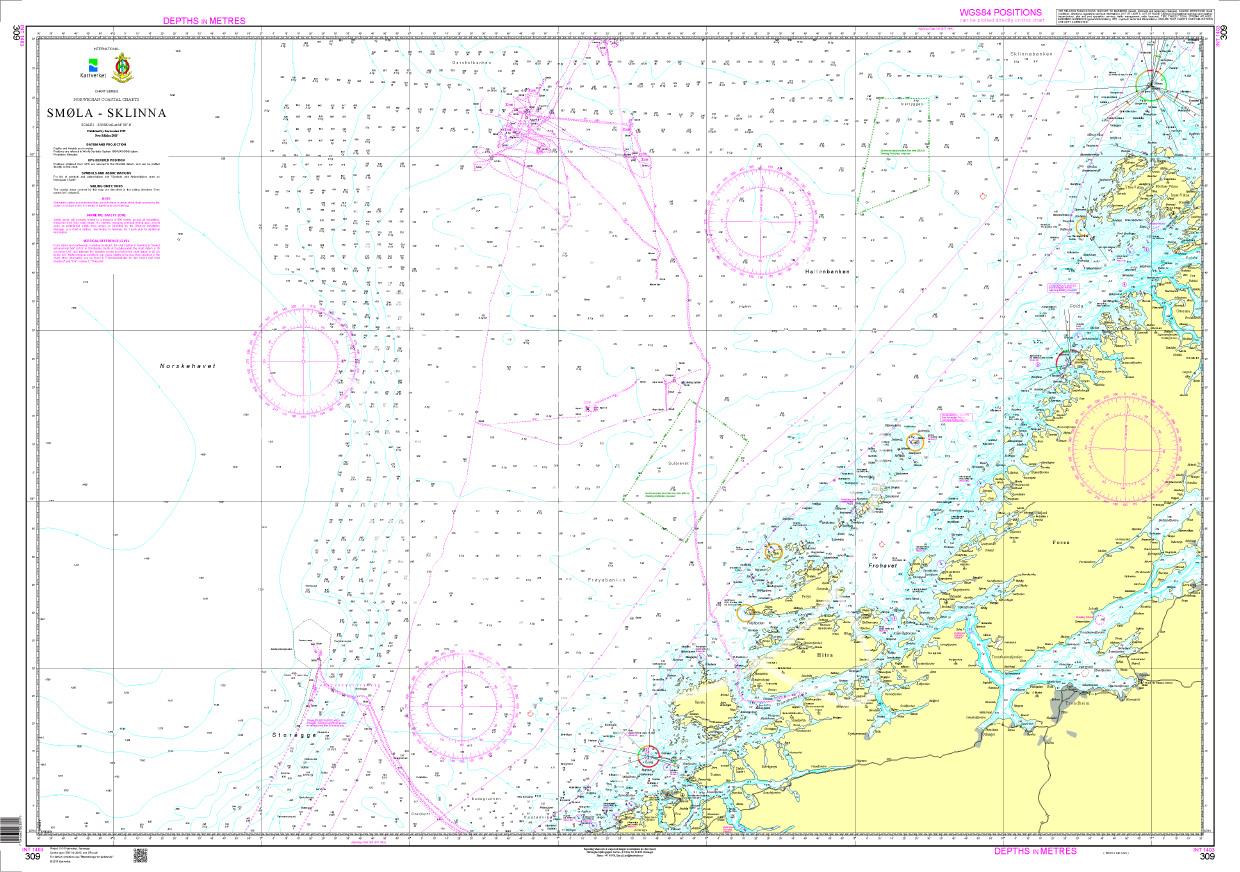
N 309 POD
Smøla - Sklinna. - POD cards are excluded from exchange.

€27.70*
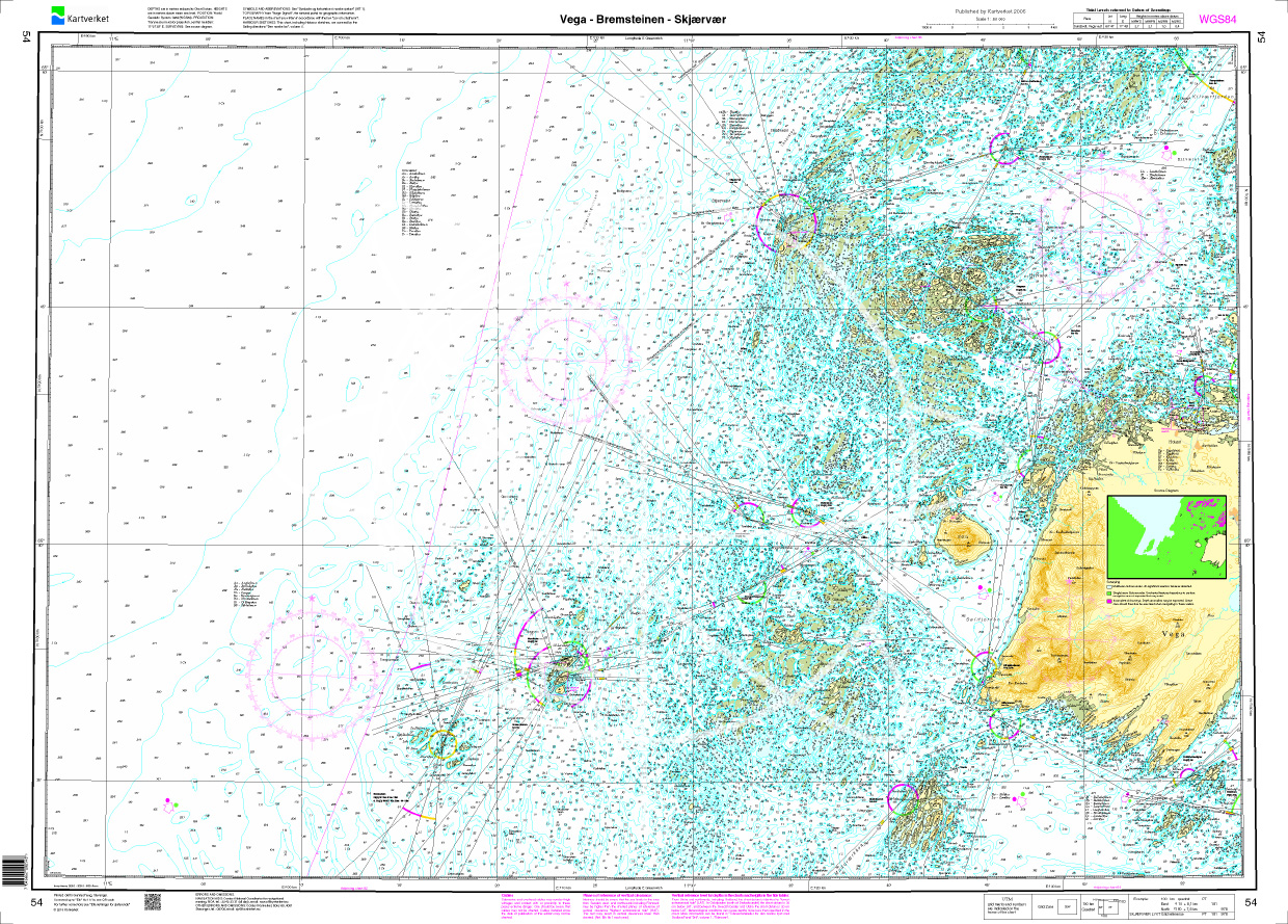
Norwegen N 54 Atlantik Vega - Bremsteinen - Skjaervaer
The Map N 54 shows the waterways from the Vega Archipelago. The detailed scale is 1:50.000. As additional maps we recommend N 55 (Stroemøoeyan - Tjoetta). We print the maps&nbs

€27.70*
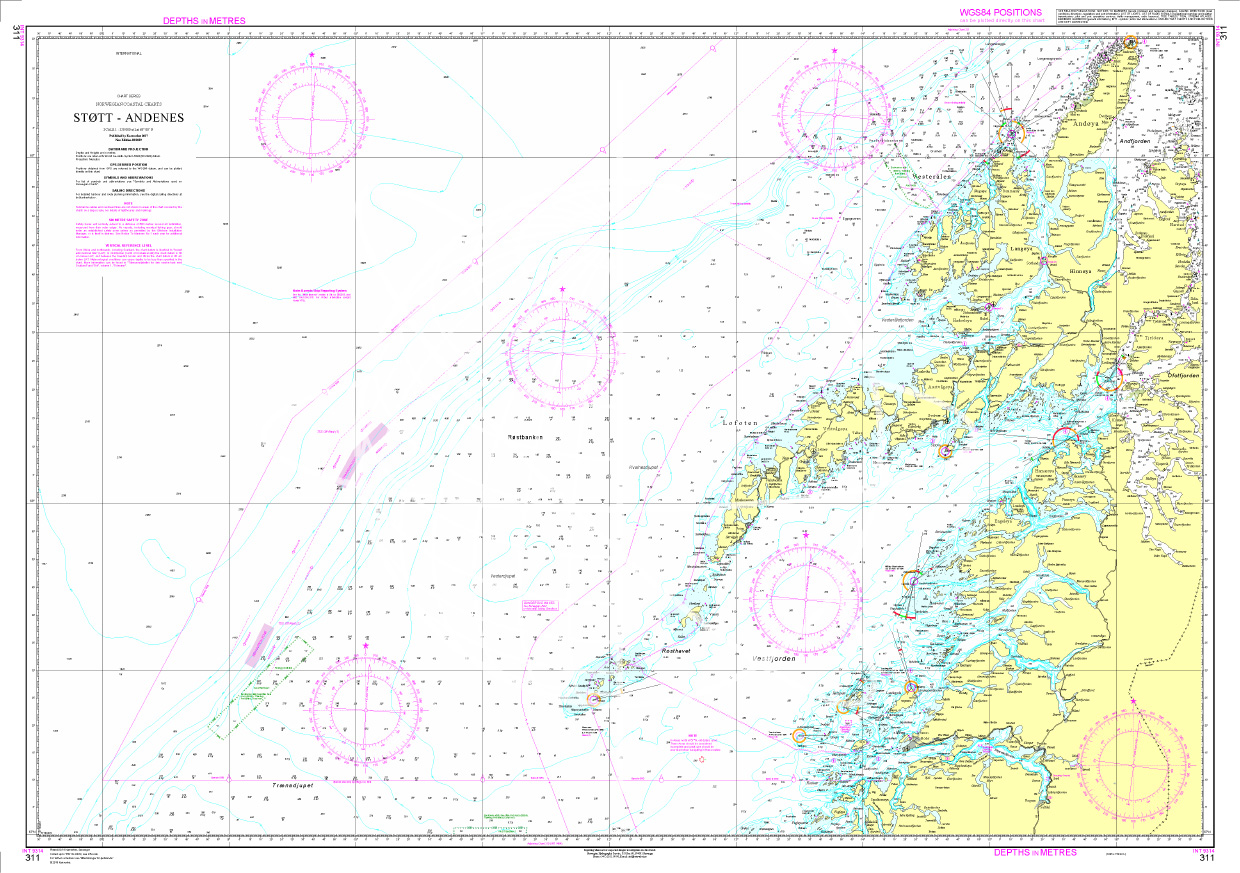
Norwegen N 311 Atlantik Støtt bis Andenes & Lofoten
The Sea Chart N 311 covers Lofoten and the North Norwegian coast from Støtt to Andenes. Surveyor / nautical chart scale 1:350000. It is printed on customer request from the publishers current data usi

€27.70*

Reviews

0 of 0 reviews

Leave a review!

Share your experiences with other customers.