
Norwegen N 311 Atlantik Støtt bis Andenes & Lofoten
Description
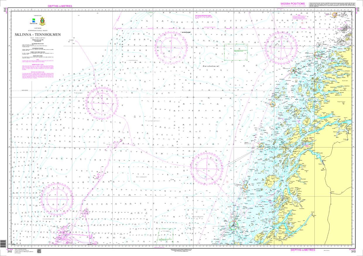
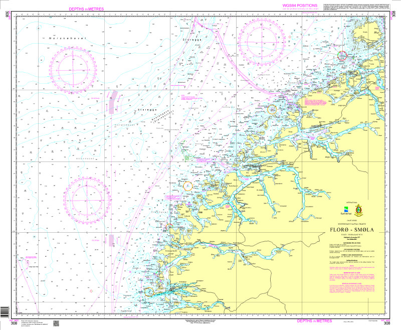
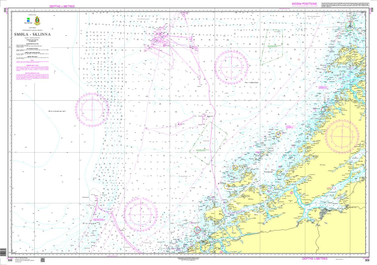
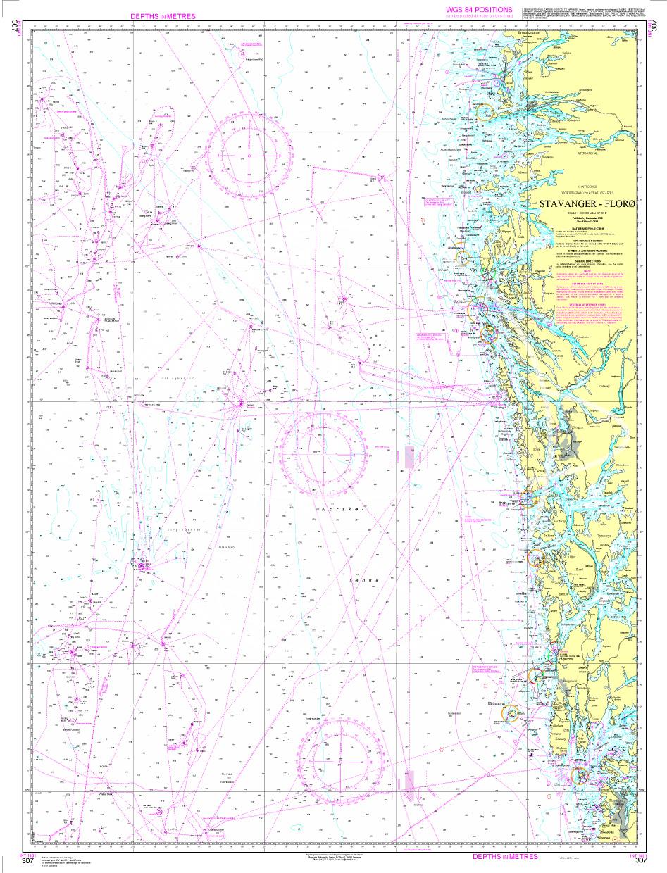
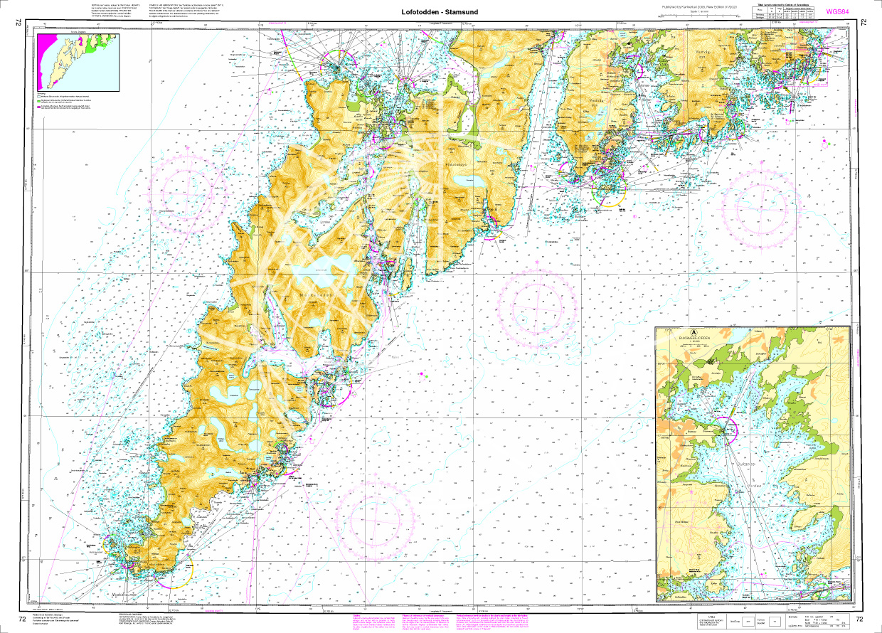
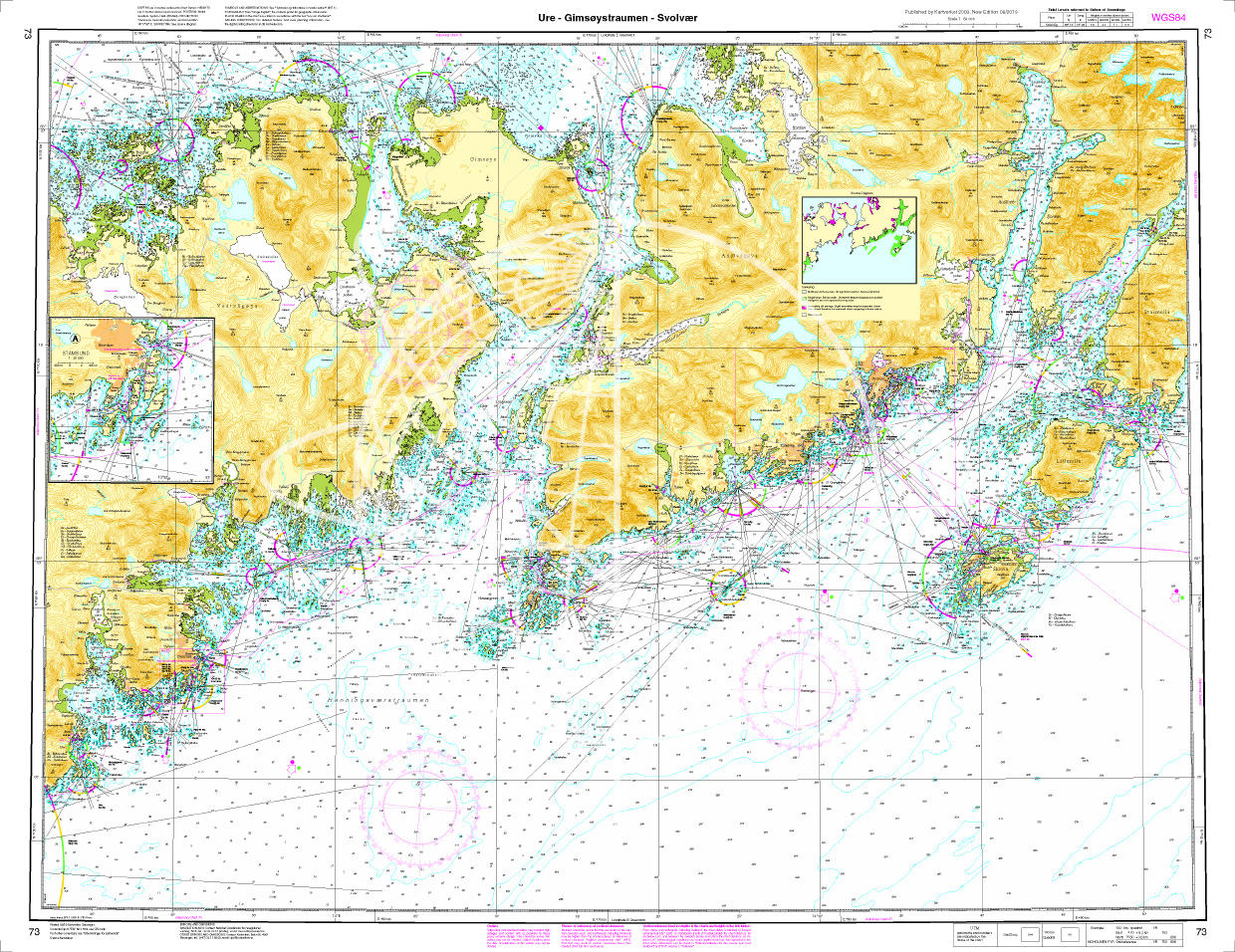
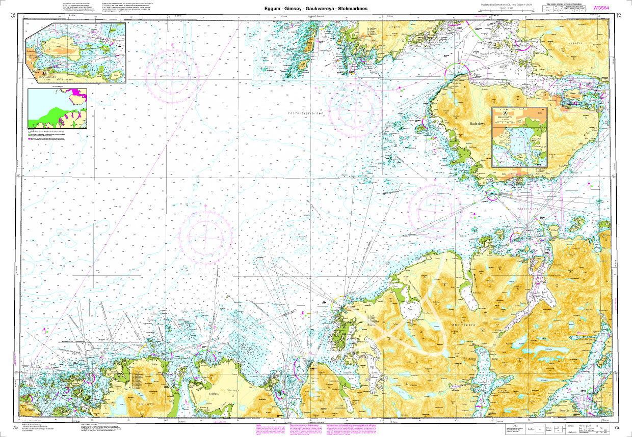
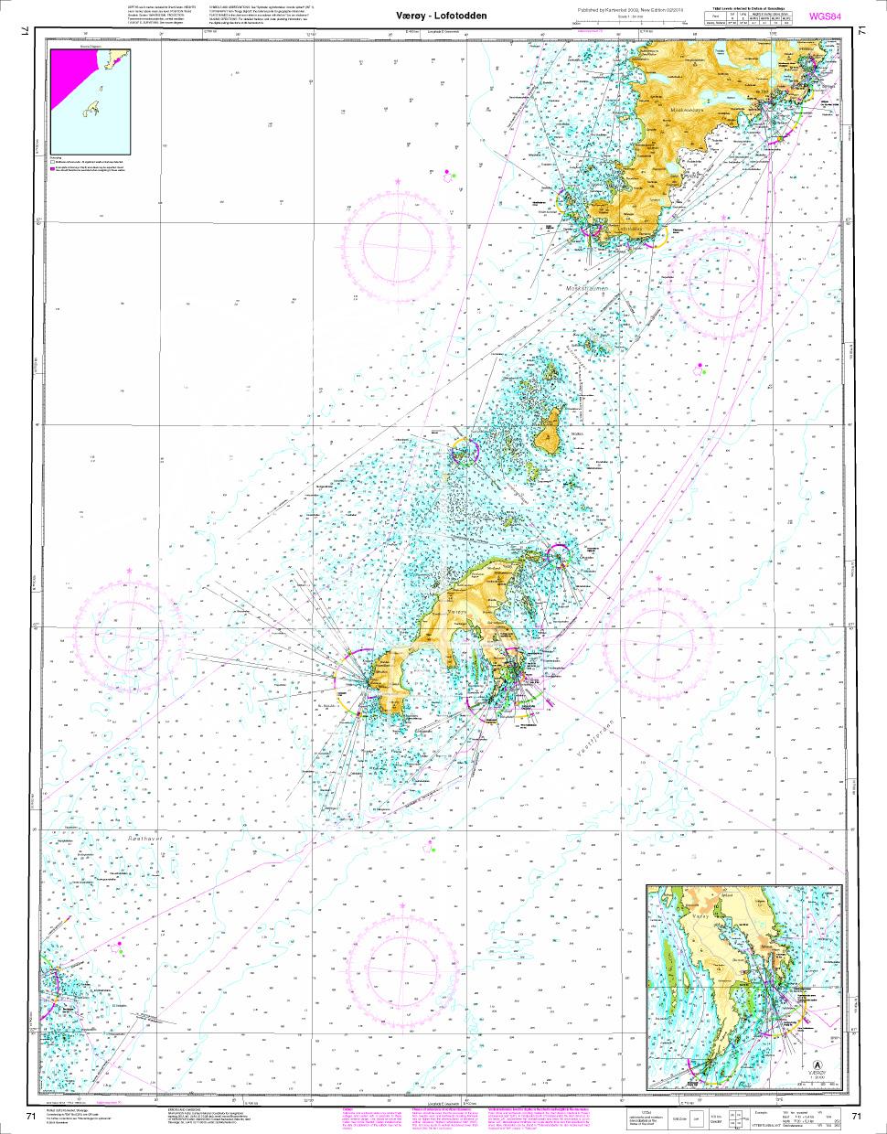
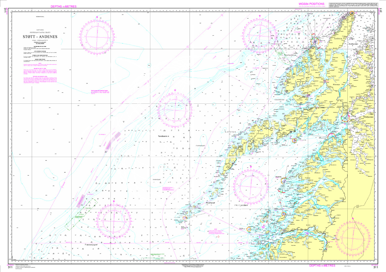
The Sea Chart N 311 covers Lofoten and the North Norwegian coast from Støtt to Andenes. Surveyor / nautical chart scale 1:350000. It is printed on customer request from the publishers current data using the print-on-demand (POD) method.
The 2020 edition takes into account the modernisations and new surveys in the north-eastern part of the coverage. Other updates include beacons and changed information on bottom conditions.
POD charts are excluded from exchange.For more information on the official Norwegian nautical charts printed by HanseNautic using the print-on-demand (POD) process please click here.
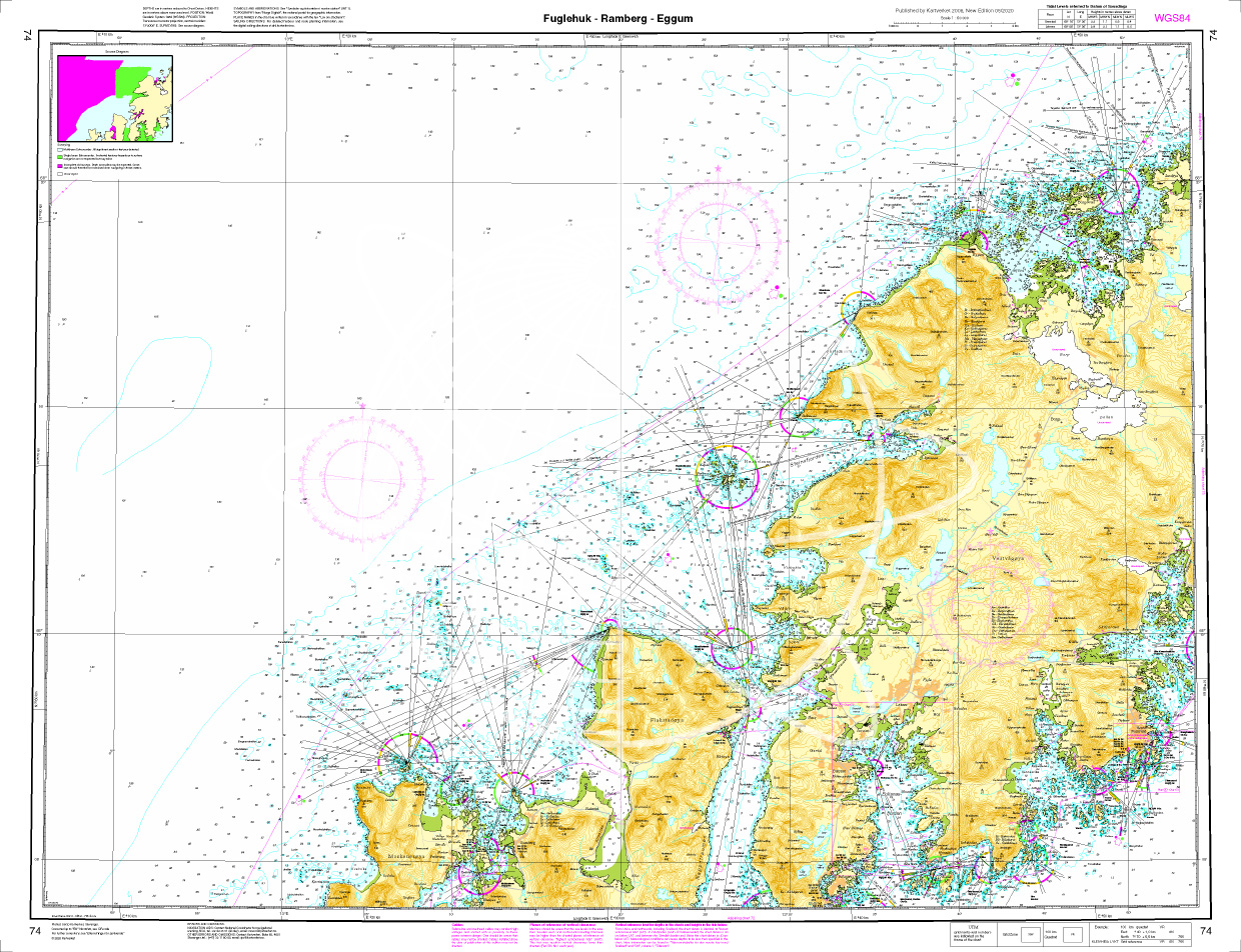
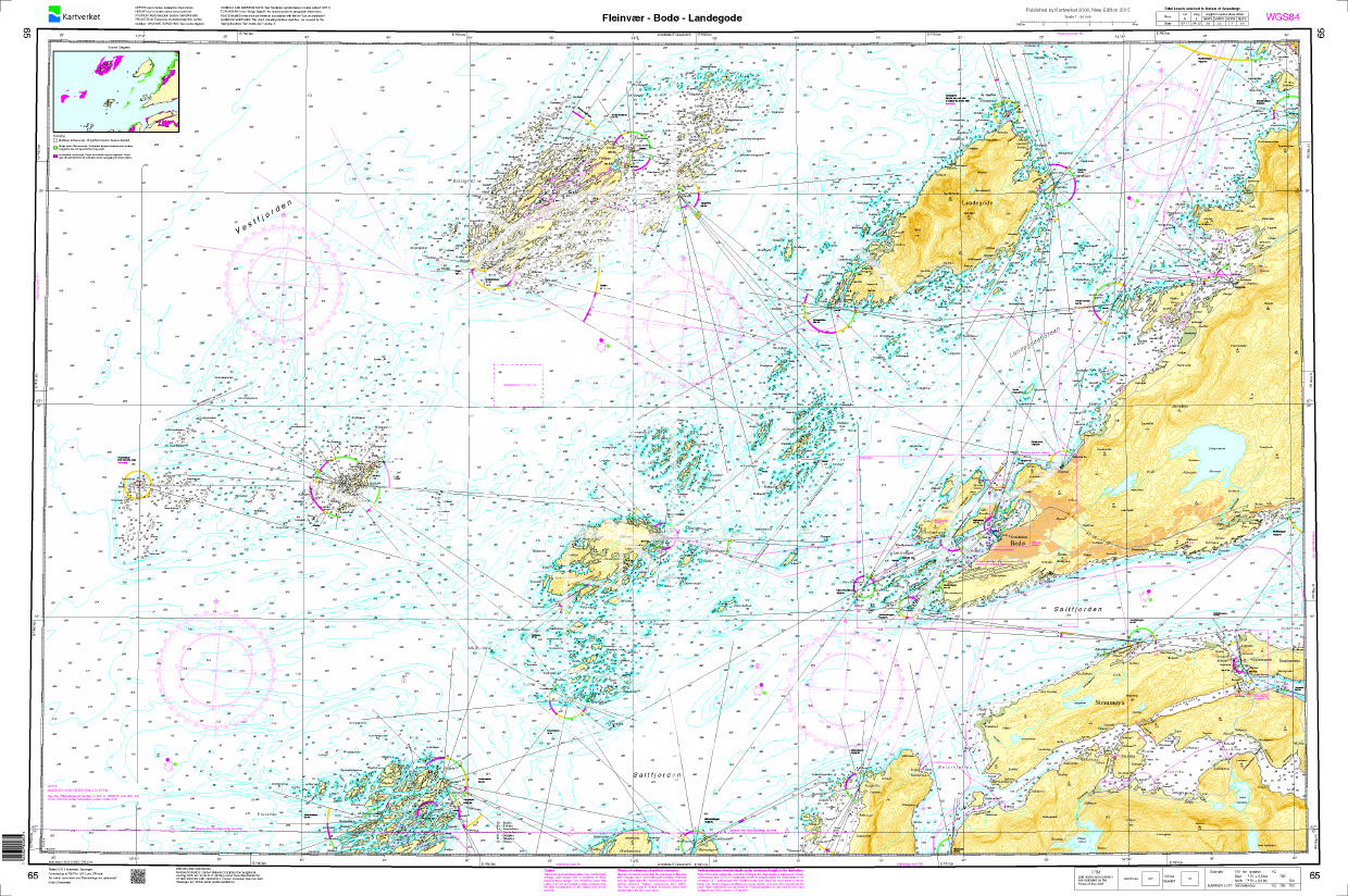
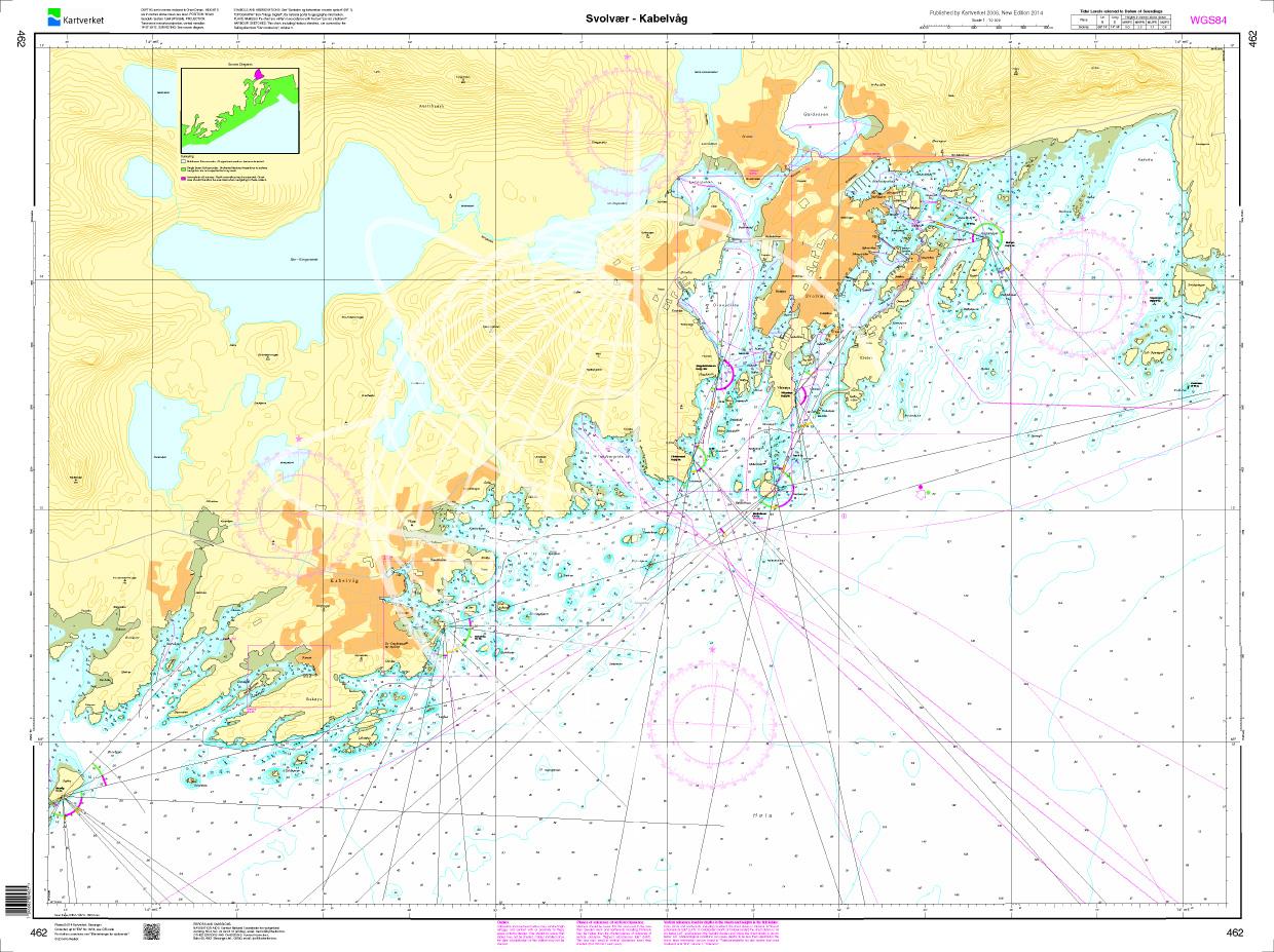
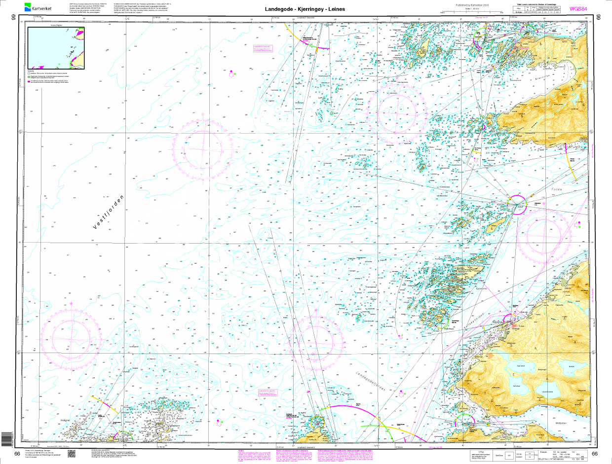
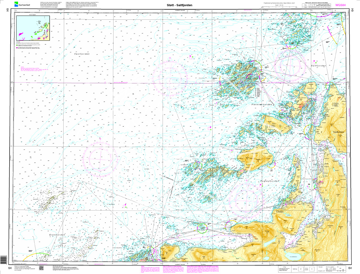
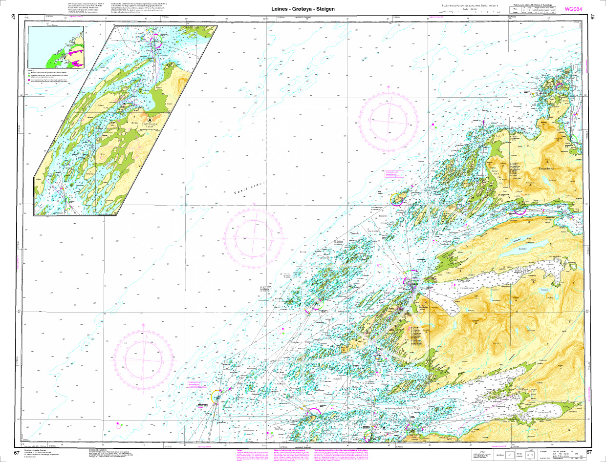
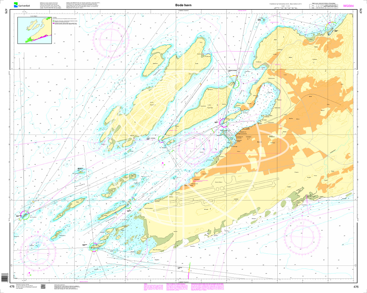
Example detail for nautical chart N311

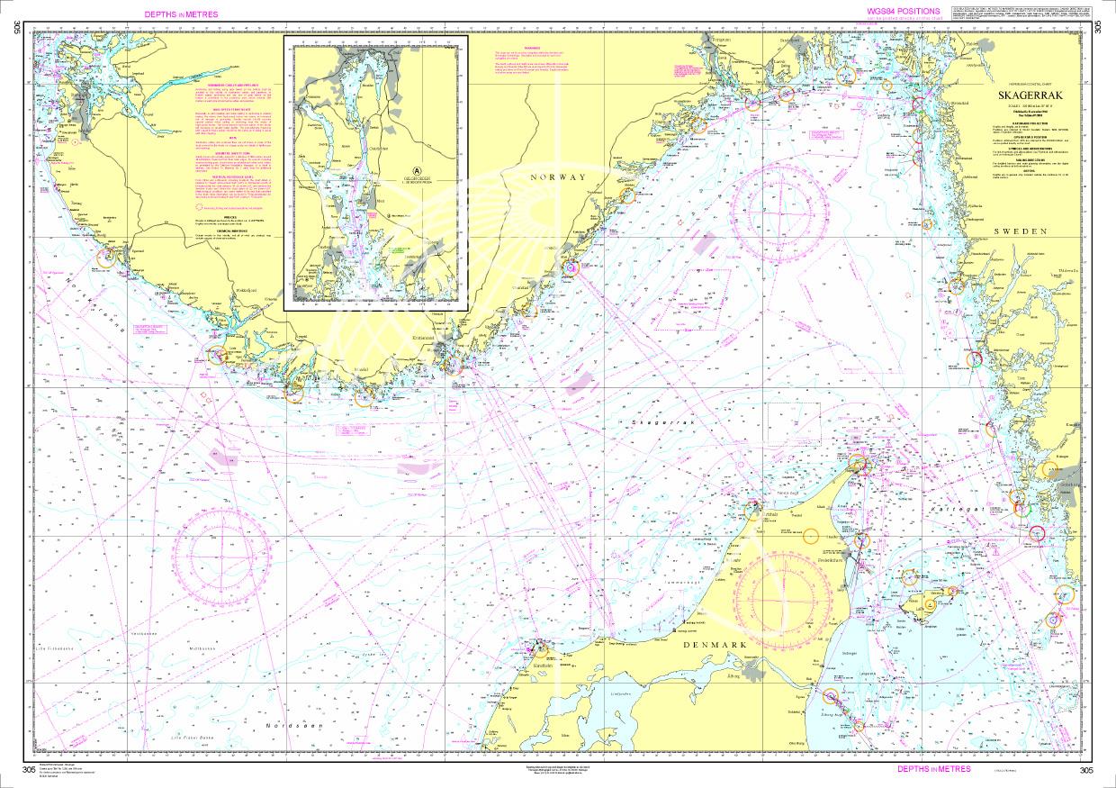
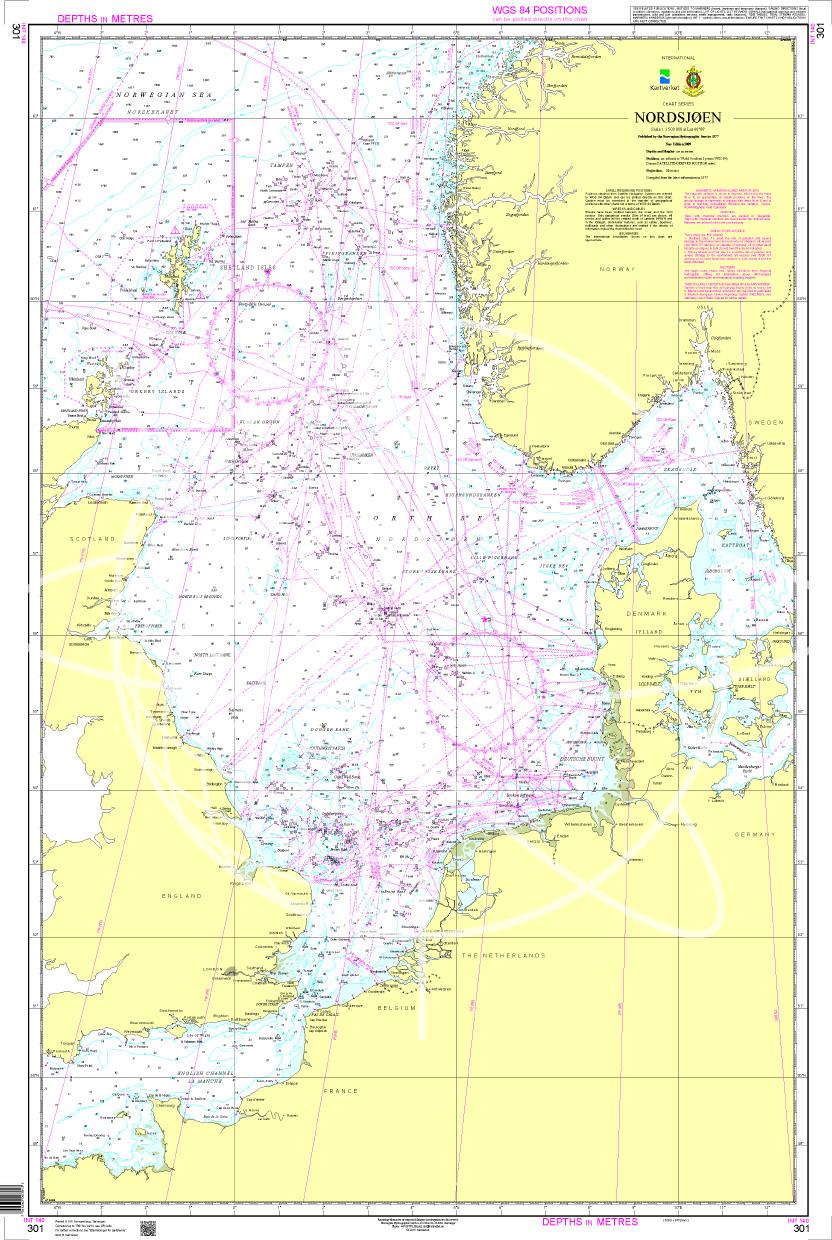
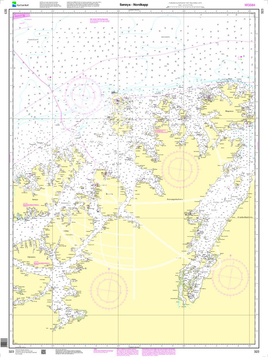
With the help of our area preview, you can get an impression of which geographical region the product deals with or which areas a nautical chart covers.
Related products to this item
Related products to this item
Products near this article
Products near this article
Reviews
0 of 0 reviews
Login


