N 456 POD

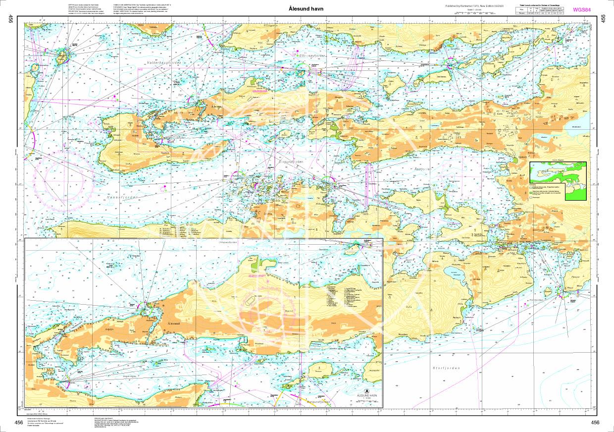
Chart ID: NOR 456
Scale: 1:20.000

€27.70*


Product number: 20670

Description

Ålesund havn. - POD cards are excluded from exchange.
Motiv: Seekarte
Region: Atlantik, Norwegen
Area preview

With the help of our area preview, you can get an impression of which geographical region the product deals with or which areas a nautical chart covers.

Products near this article

Products near this article

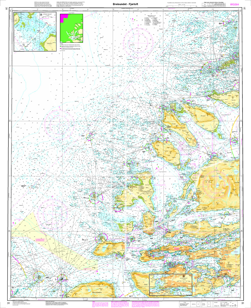
Norwegen N 31 Atlantik, von Breidsund bis Fjørtoft
The Map N 31 depicts the archipelago north-west of Ålesund . From Bredsund Ålesund to Fjørtoft everything is to scale. The detailed scale is 1:50.000. As additional

€27.70*
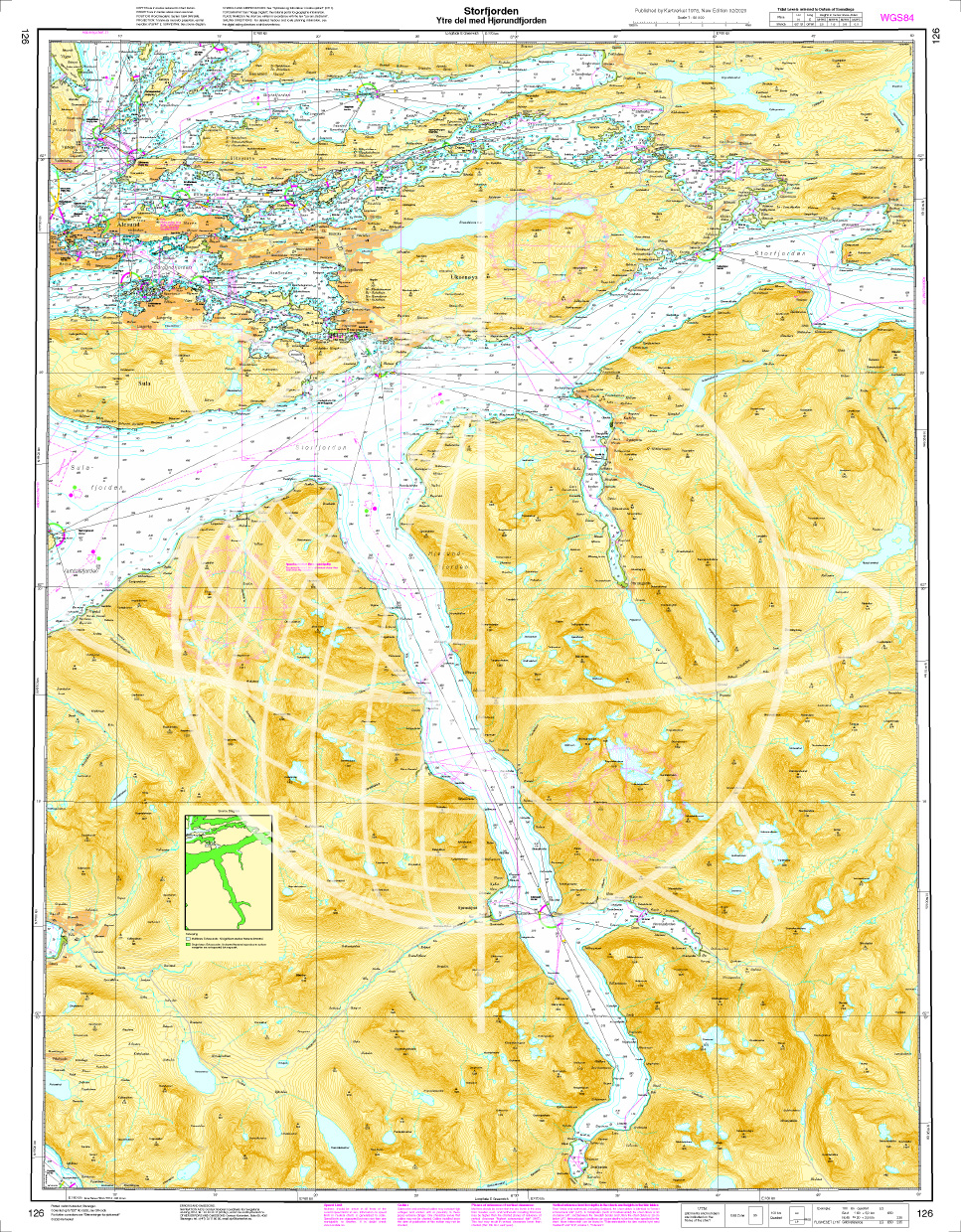
Norwegen N 126 Atlantik, Storfjord (äußerer Teil), Ålesund und Hjørundfjord
The map N 126 includes the Hjørundfjord Ålesund and the outer Storfjordto enter the famous Geirangerfjord. The detailed scale is 1:50000. As an additional map we recomm

€27.70*
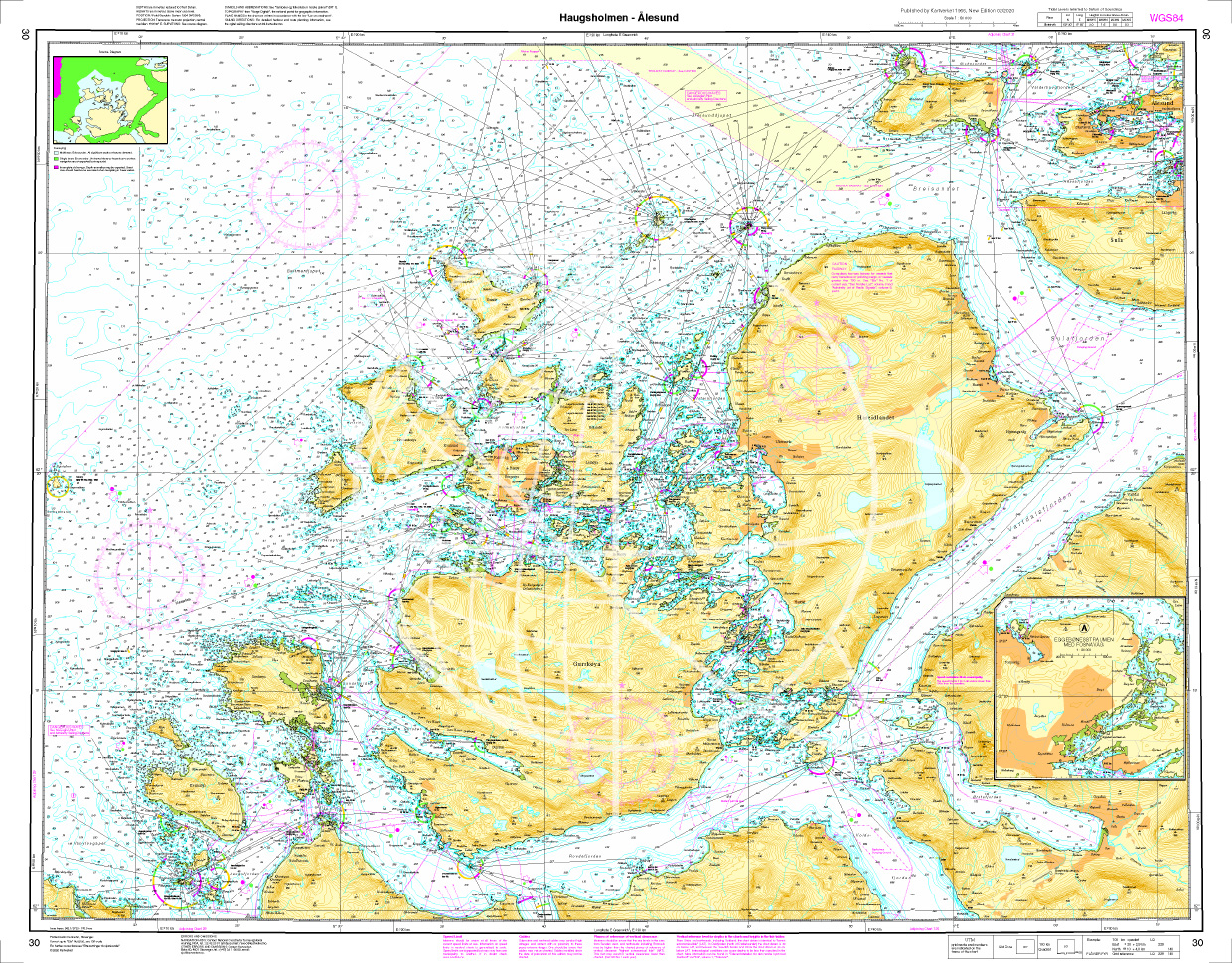
Norwegen N 30 Atlantik vom Leuchtfeucher Haugsholmen bis Ålesund
The map N 30 includes the region from the Haugsholmen beacon (north-east of Stadlandet) to Alesund. A good set of maps to escape the rough Atlantic and move in the inner archipelag

€27.70*
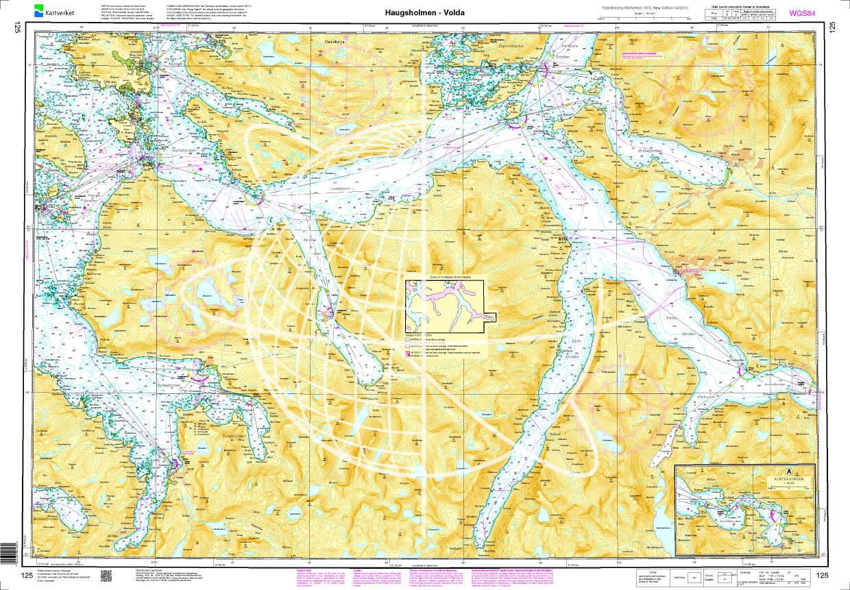
Norwegen N 125 Atlantik von Haugsholmen bis Volda
The Map N 125 shows the fjord landscape above Stad. The map is perfect for recovering from the dangerous cross lakes when circumnavigating Stadlandet.  The detailed scale is 1:

€27.70*
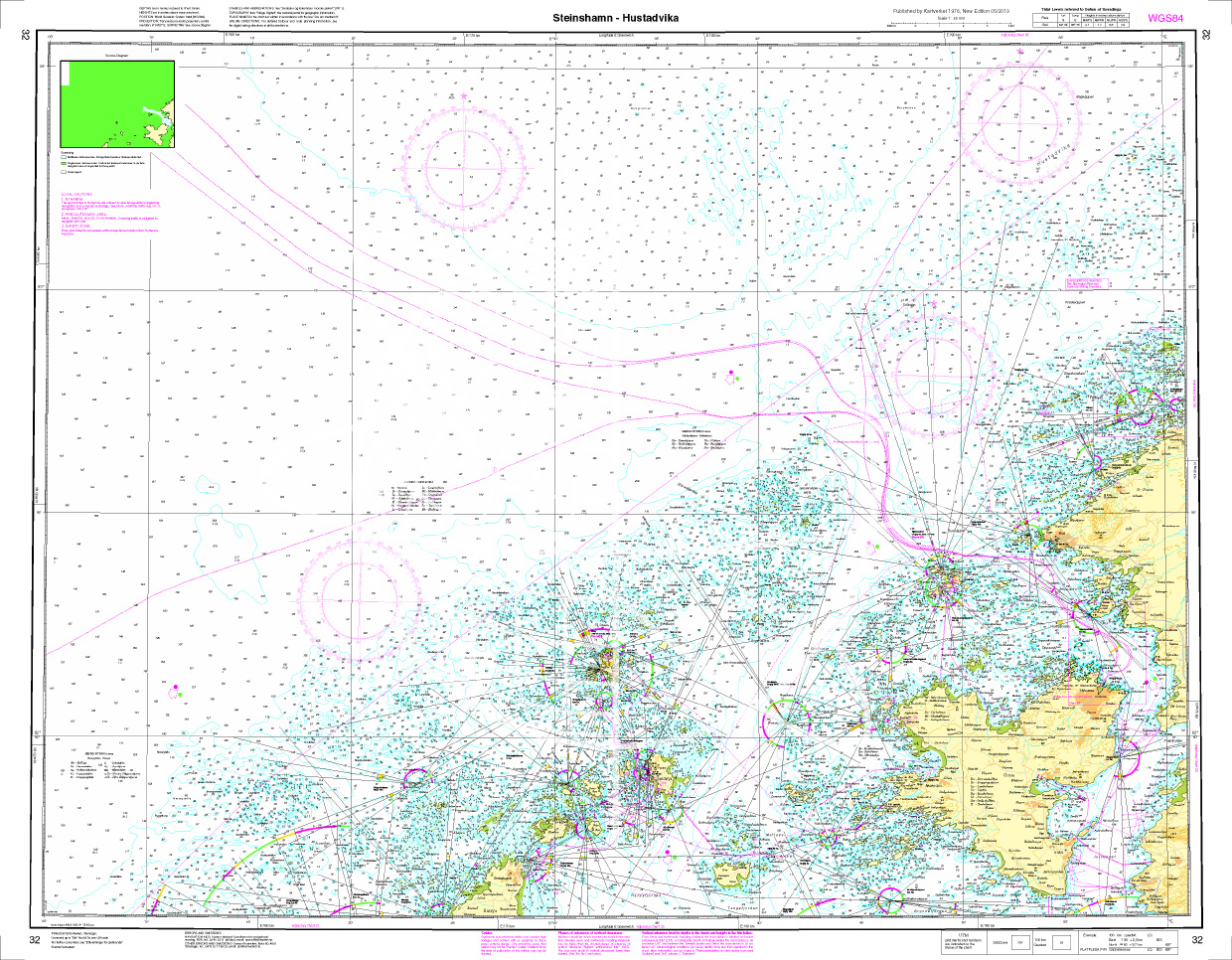
Norwegen N 32 Atlantik von Steinshamn auf Harøya bis Hustadvika
The map N 32 represents north of Ålesund the island of Harøya with the village of Steinshamn to the north to the 10 nautical mile section of Hustadvika which is on the shipping rou

€27.70*
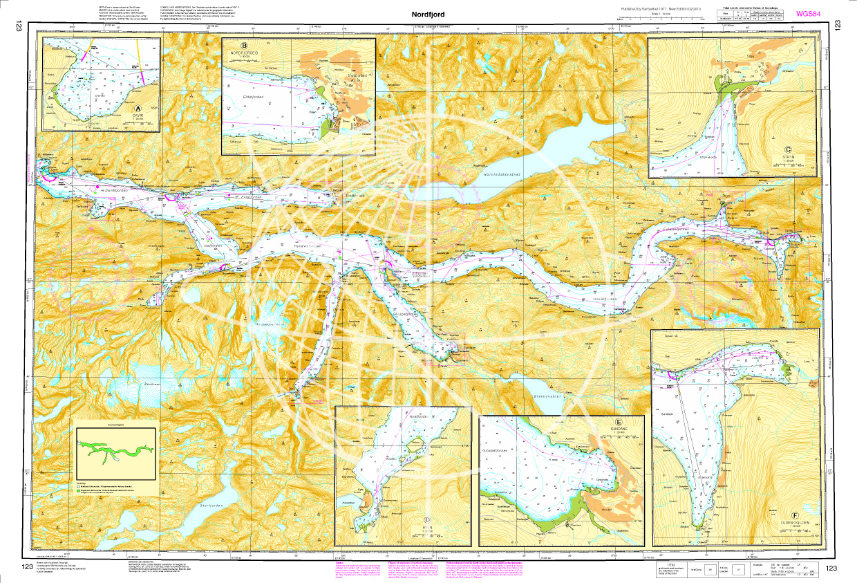
Norwegen N 123 Atlantik Nordfjord
The Map N 123 is the map of the region around the Nordfjord. The outer Nordfjord is characterised by the rough Atlantic coast while the inner fjord is surrounded by a glacier world. Little

€27.70*
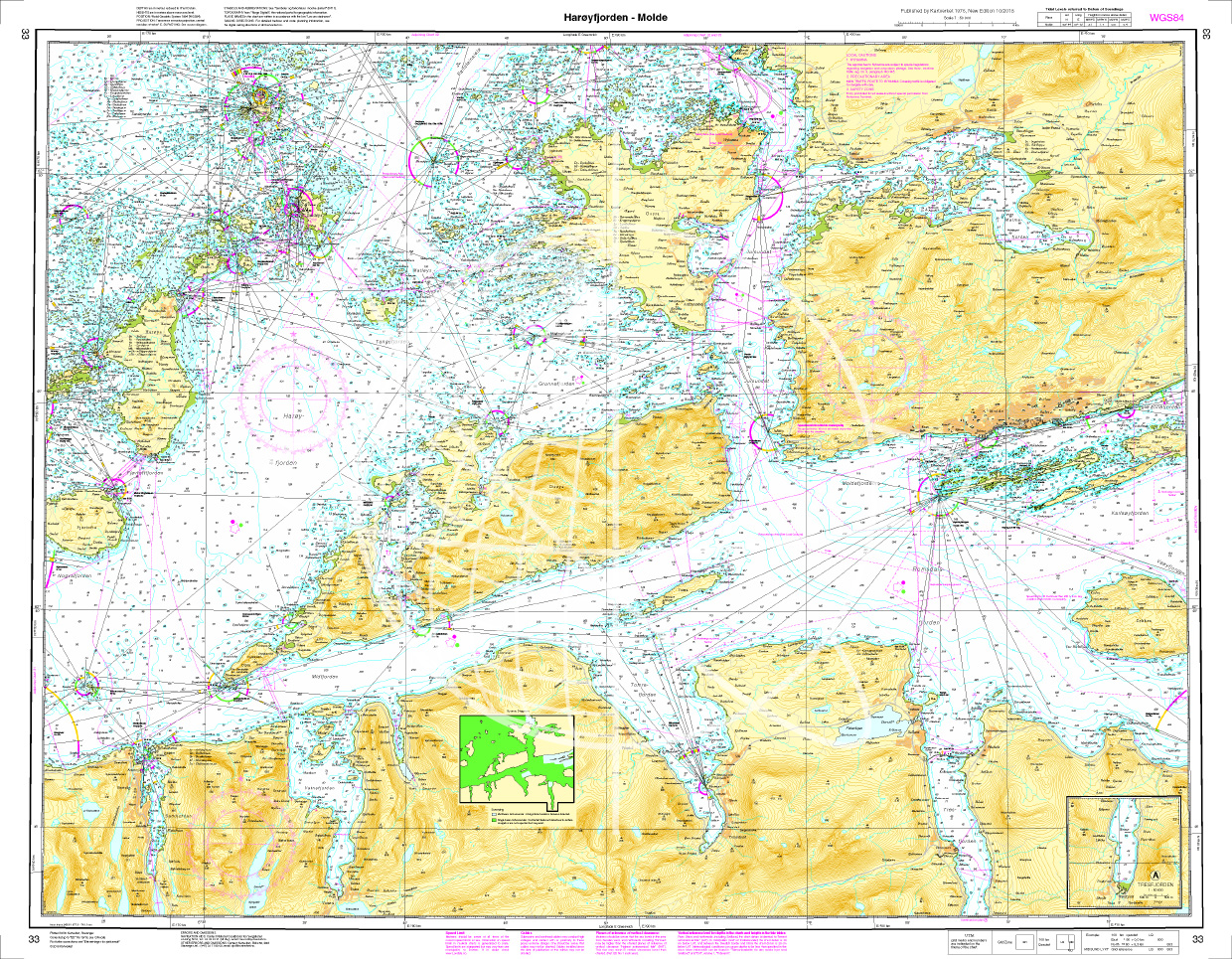
Norwegen N 33 Atlantik Harøyfjord bis Molde
The Map N 33 covers the Harøyfjord situated above Ålesund with the island of the same name as far as Molde. The detailed scale is 1:50.000. As additional maps we recommend&

€27.70*
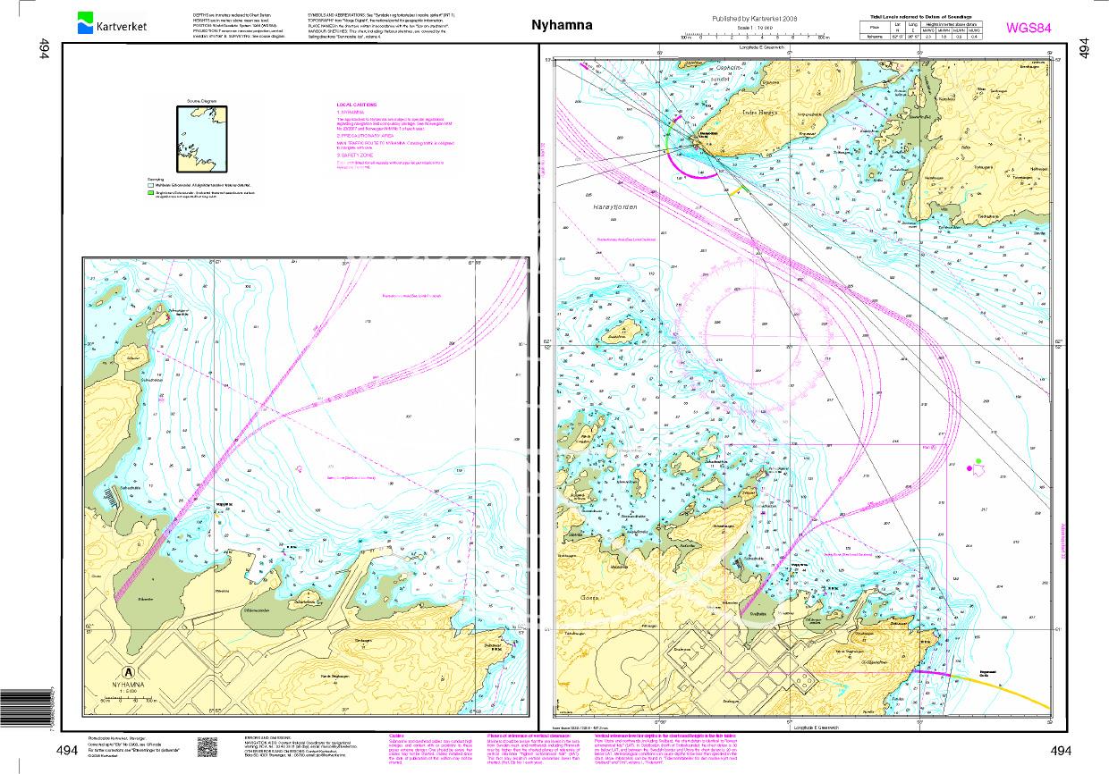
N 494 POD
Nyhamna. - POD cards are excluded from exchange.

€27.70*
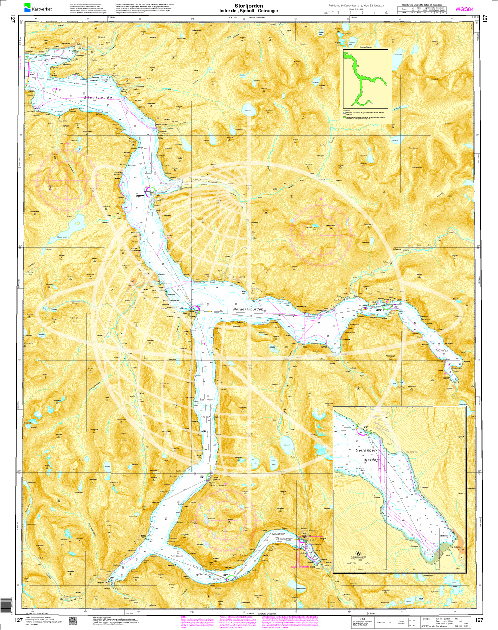
Norwegen N 127 Atlantik, Storfjord (innerer Teil), Sjøholt und Geirangerfjord
The map N 127  shows the inner part of the Storfjord as far as Sjøholt and the Geirangerfjord as far as the town of Geiranger. The detailed scale is 1:50.000. A

€27.70*
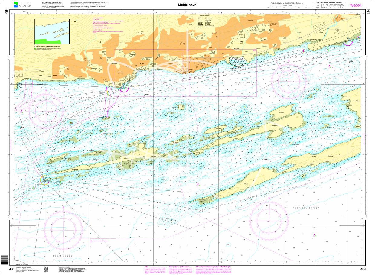
N 484 POD
Molde havn. - POD cards are excluded from exchange.

€27.70*
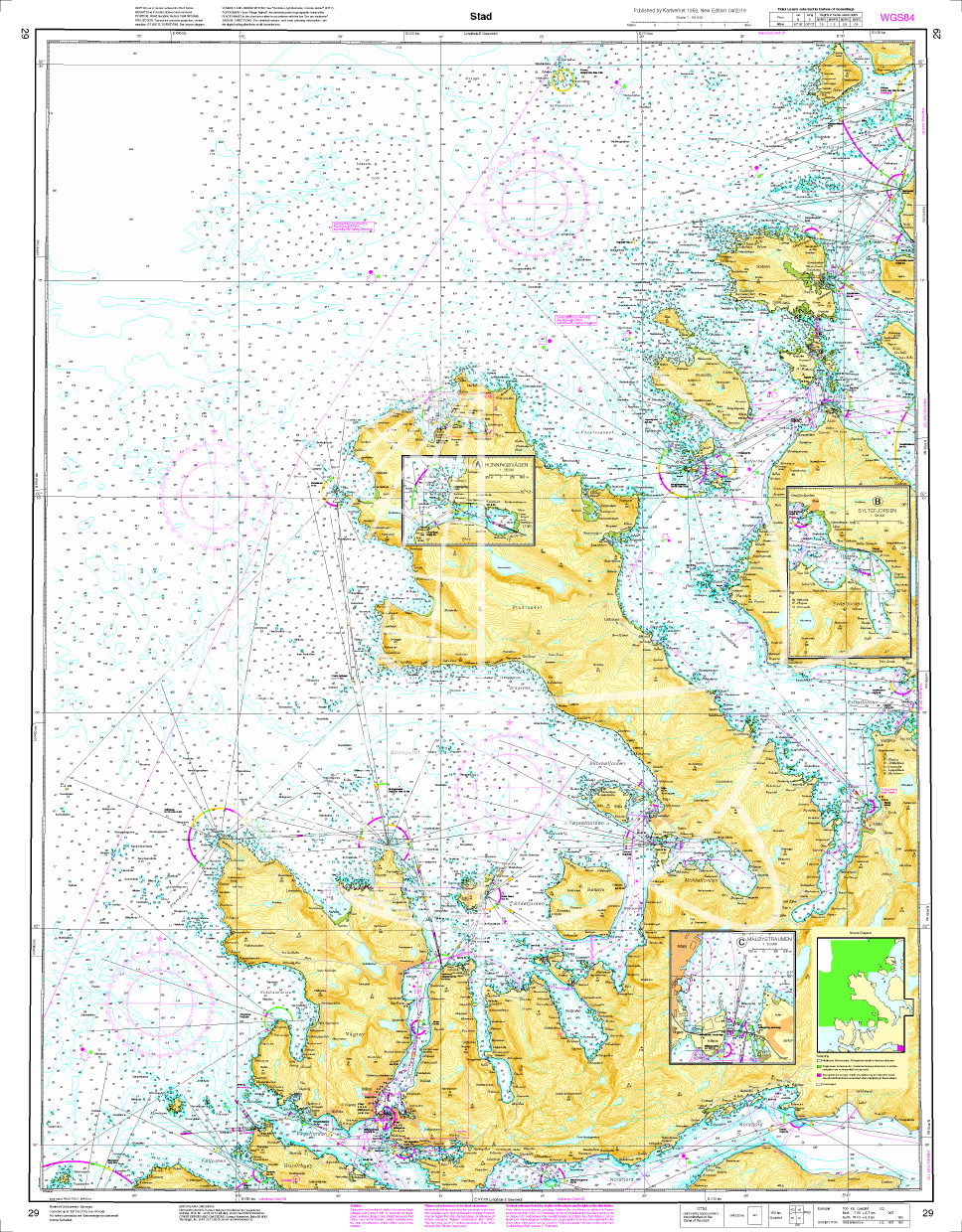
Norwegen N 29 Atlantik Stadlandet
The map N 29 goes from Husevågøy to Sandsøya including the peninsula Stad. The detailed scale is 1:50.000. As additional maps we recommend N 125 (Haugsholmen -Volda) and N

€27.70*

Reviews

0 of 0 reviews

Leave a review!

Share your experiences with other customers.