N 458 POD

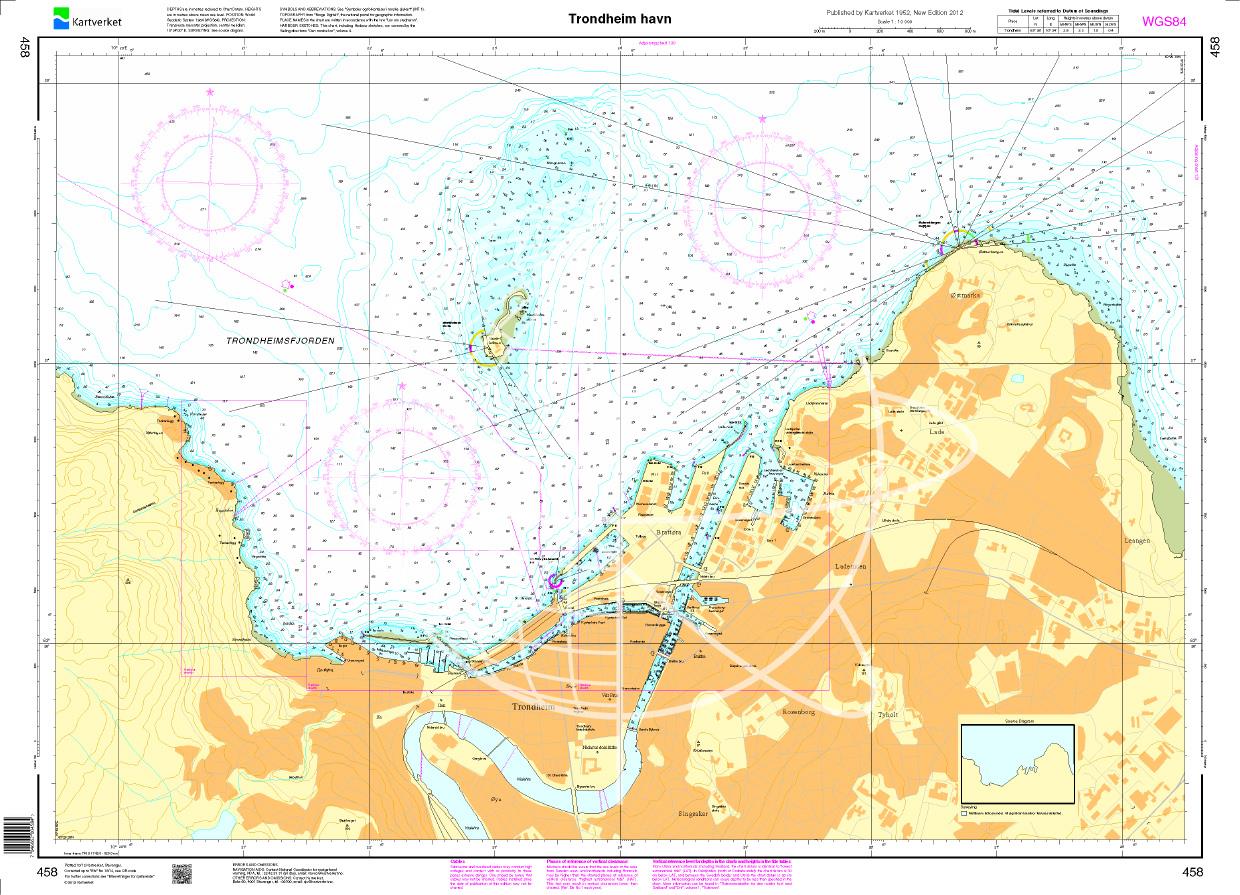
Chart ID: NOR 458
Scale: 1:10.000

€27.70*


Product number: 20672

Description

Trondheim havn. - POD cards are excluded from exchange.
Motiv: Seekarte
Region: Atlantik, Norwegen
Area preview

With the help of our area preview, you can get an impression of which geographical region the product deals with or which areas a nautical chart covers.

Products near this article

Products near this article

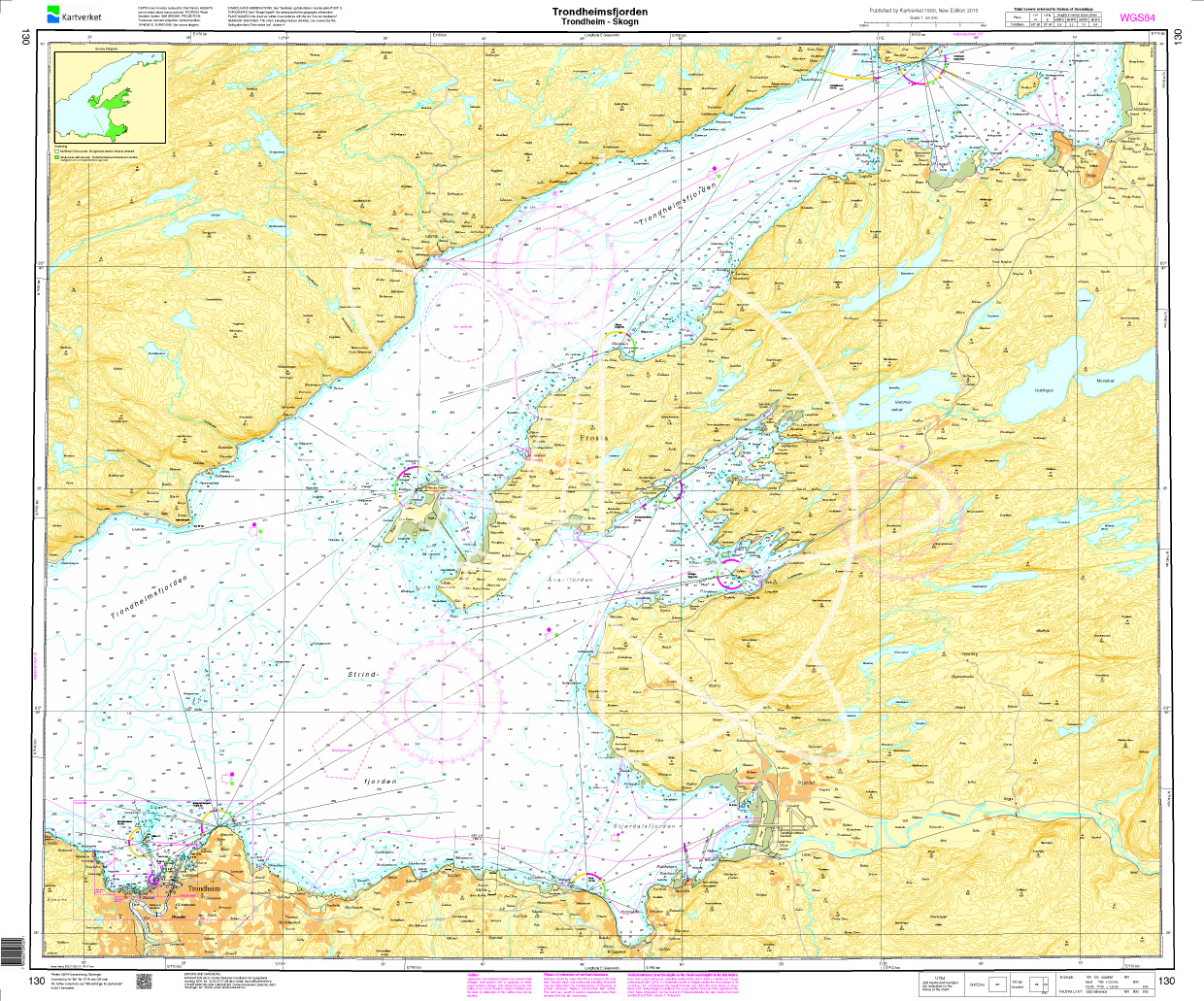
Norwegen N 130 Atlantik Trondheimsfjord mit Trondheim - Skogn
The Map N 130 shows the waterways in the Trondheim Fjord from Trondheim to Skogn. The detailed scale is 1:50000. As an additional map we recommend N 131 (Trondheimsfjorden. Levange

€27.70*
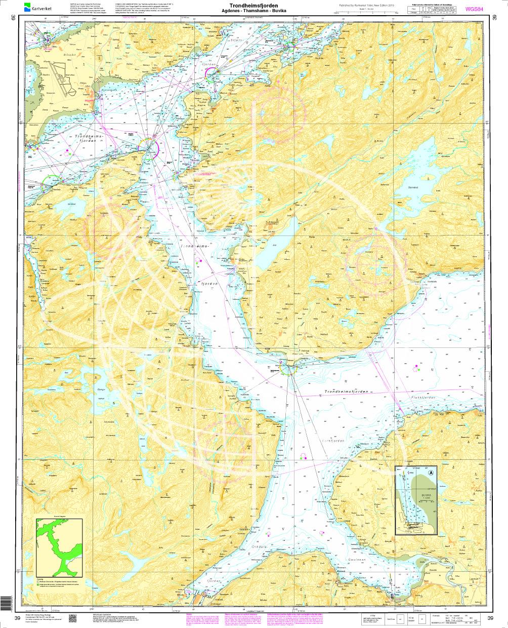
Norwegen 39 Atlantik, Trondheimsfjord mit Agdenes - Thamshamn - Buvika
The map N 39 lists the waterways in the Trondheimfjord up to just before Trondheim  (with  Agdenes - Thamshamn - Buvika). Thedetailed scale is 1:50.000. As an additional map we

€27.70*
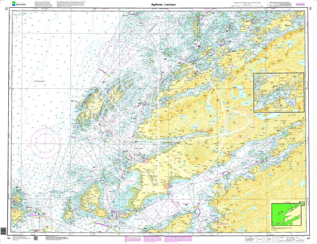
Norwegen N 43 Atlantik von Agdenes bis Lauvøya
The Map N 43 represents the waterways from Agdenes to Lauvøya situated northwest of Trondheim. The detailed scale is 1:50.000. As additional maps we recommend N 41 (Frøya - Gjæ

€27.70*
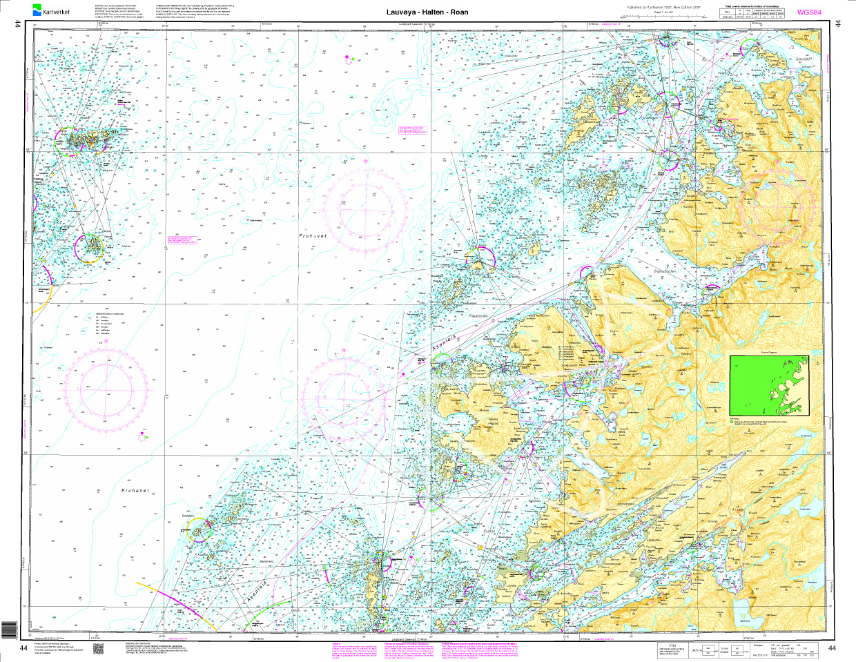
Norwegen N 44 Atlantik von Lauvøya, Halten bis Roan
The map N 44 includes the coastline east of the Gjæsingen archipelago with the islands Lauvøya Halten to the Roan peninsula. The detailed scale is 1:50000. As an additional map we reco

€27.70*
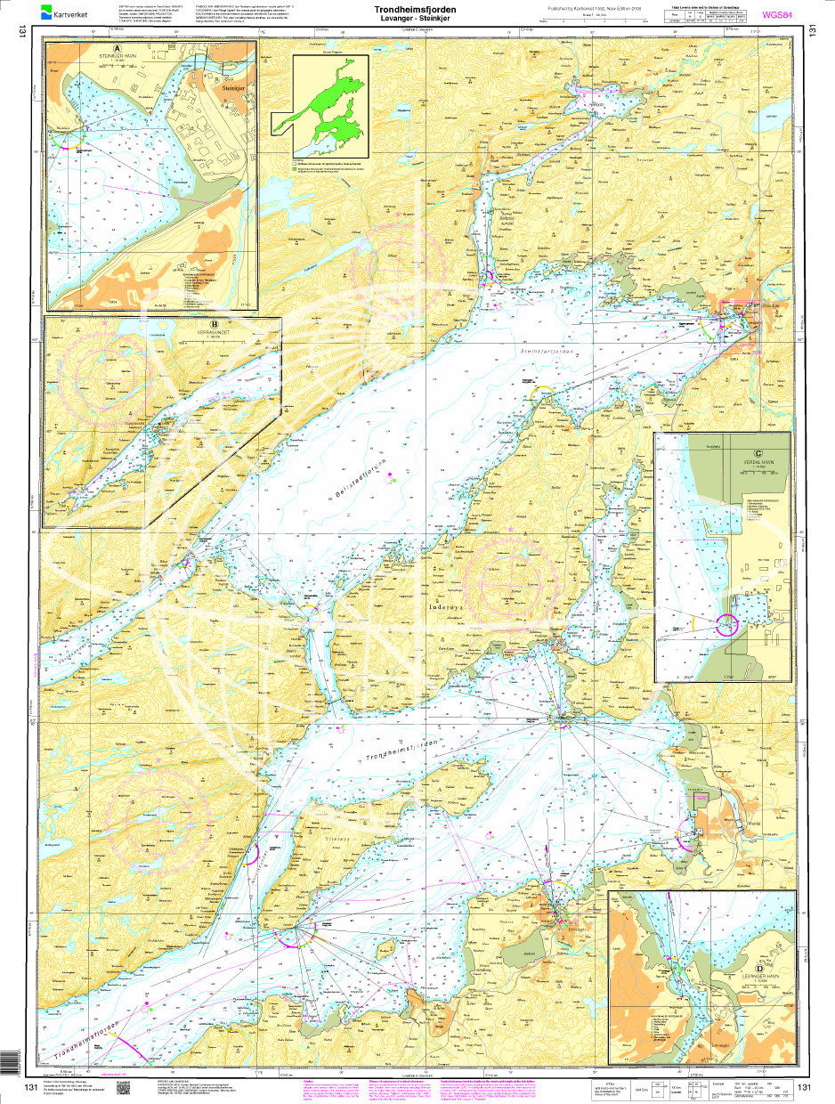
Norwegen N 131 Atlantik Trondheimsfjord von Levanger bis Steinkjer
The Map N 131 includes the Trondheimsfjord from  Levanger to Steinkjer. The detailed scale is 1:50.000. As additional maps we recommend N 130 (Trondheimsfjorden. Trondheim

€27.70*
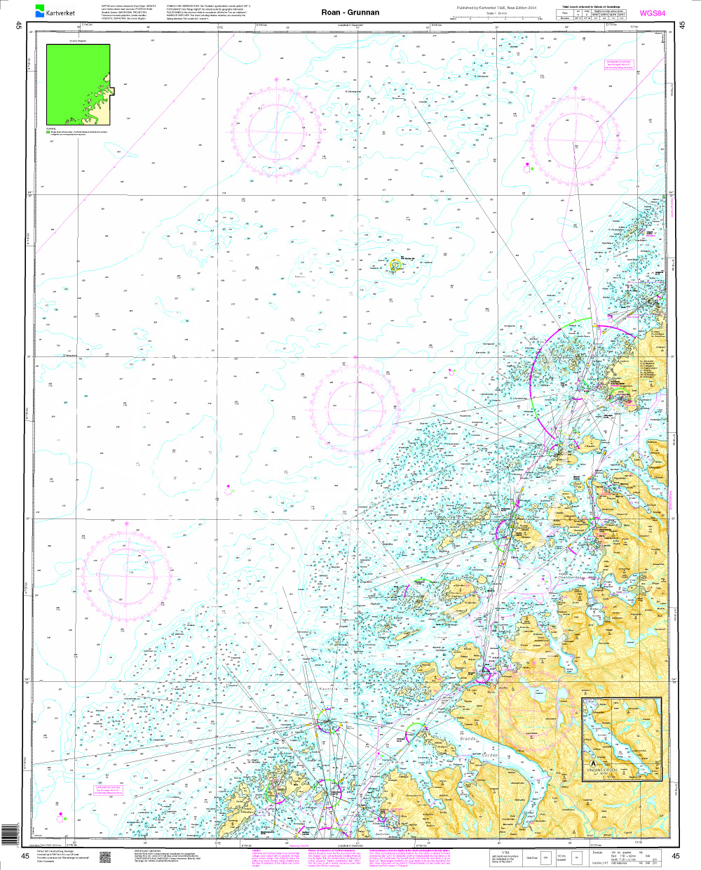
Norwegen N 45 Atlantik von Roan bis Grunnan
The Map N 45 depicts the coastal region with offshore islands from Roan to Grunnan.The detailed scale is 1:50000. As an additional map we recommend the N 46 (Folda). We pri

€27.70*
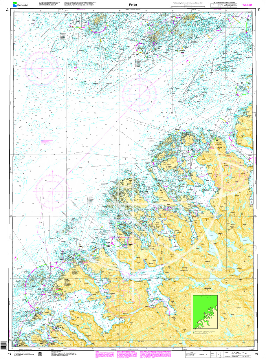
Norwegen N 46 Atlantik Folda
The Map N 46 shows the coast around Folda and the outer Namfjord. The detailed scale is 1:50.000. As an additional map we recommend N 47 (Namsfjorden). We print the maps on

€27.70*
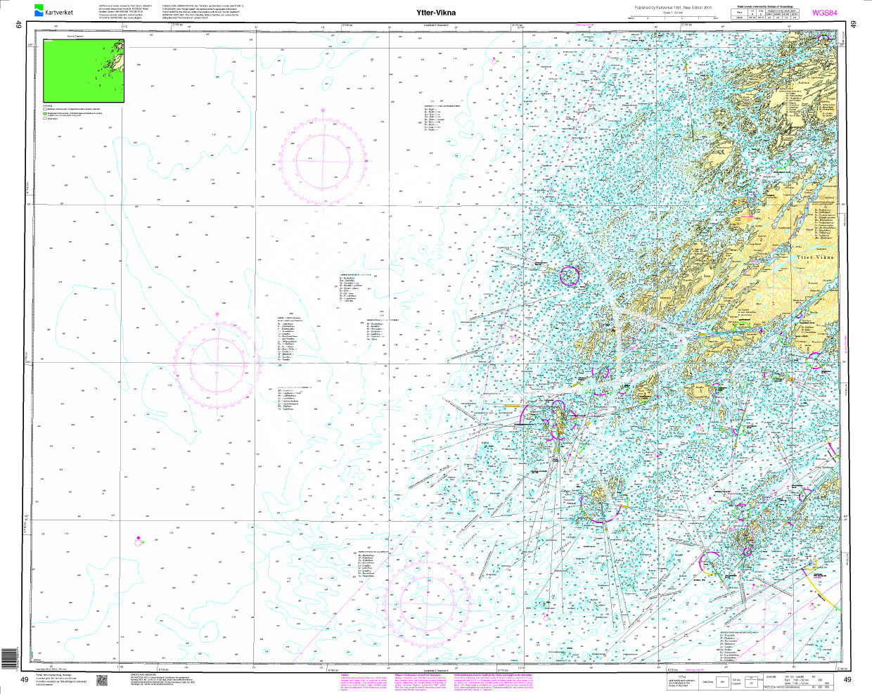
Norwegen N 49 Atlantik von Ytter bis Vikna
The map N 49 includes Vikna an island municipality with almost 6000 islands spars and skerries.The detailed scale is 1:50.000. We recommend the N 48 (Gjæslingan - Dolmsundet) as an

€27.70*
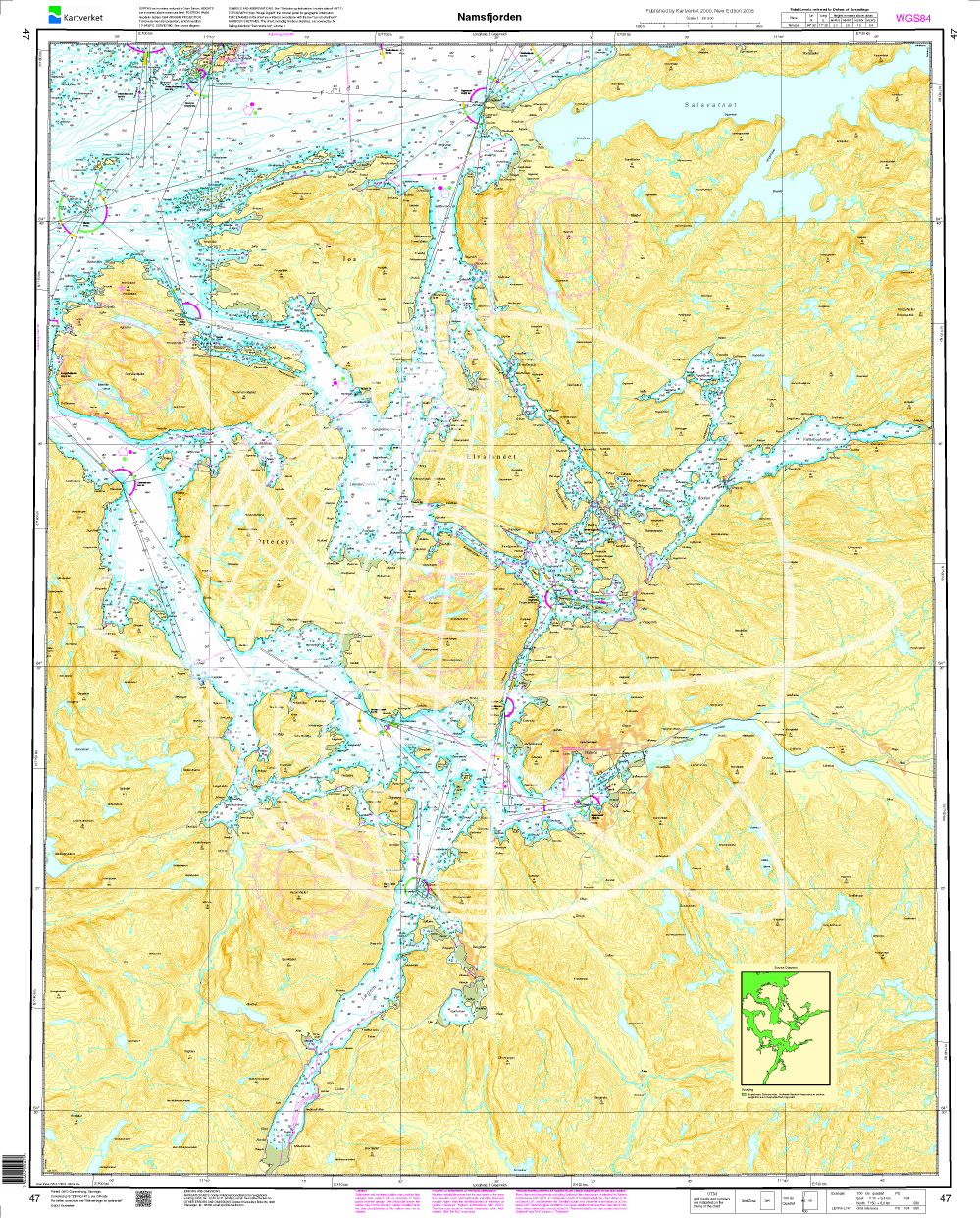
Norwegen N 47 Atlantik vom Namsfjord
The Map N 47 shows the waterways around the Namsjford. The detailed scale is 1:50000. As an additional map we recommend N 48 (Gjæslingan - Dolmsundet). We print the maps on

€27.70*
Norwegen N 42 Atlantik von Gjæsingen bis Halten
The Map N 42 shows the largest archipelago Gjæsingen with the connecting islands Foya and Halten located in the middle of the North Sea northwest of Trondheim. The detailed scale i

€27.70*
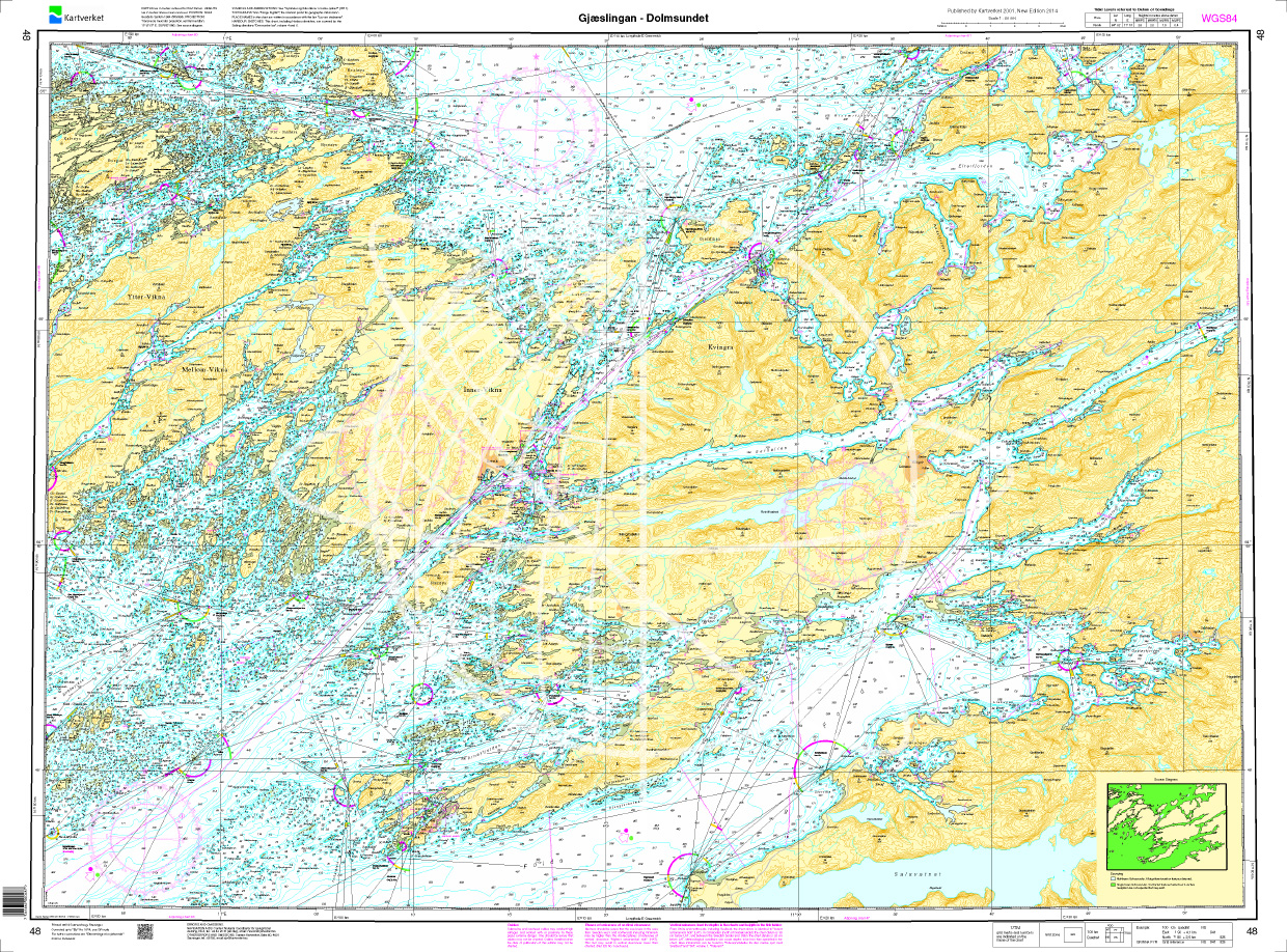
Norwegen N 48 Atlantik von Gjæslingan bis Dolmsundet
The Map N 48 shows the waterways around the archipelago around Gjæslingan with about 80 small islands and skerries. The detailed scale is 1:50.000. As additional maps we recommend

€27.70*

Reviews

0 of 0 reviews

Leave a review!

Share your experiences with other customers.