N 466 POD

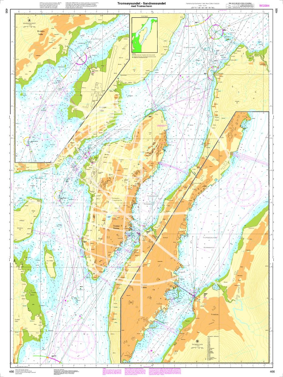
Chart ID: NOR 466
Scale: 1:20.000

€27.70*


Product number: 20680

Description

Tromsøysundet - Sandnessundet med Tromsø havn. - POD cards are excluded from exchange.
Motiv: Seekarte
Region: Atlantik, Norwegen
Area preview

With the help of our area preview, you can get an impression of which geographical region the product deals with or which areas a nautical chart covers.

Products near this article

Products near this article

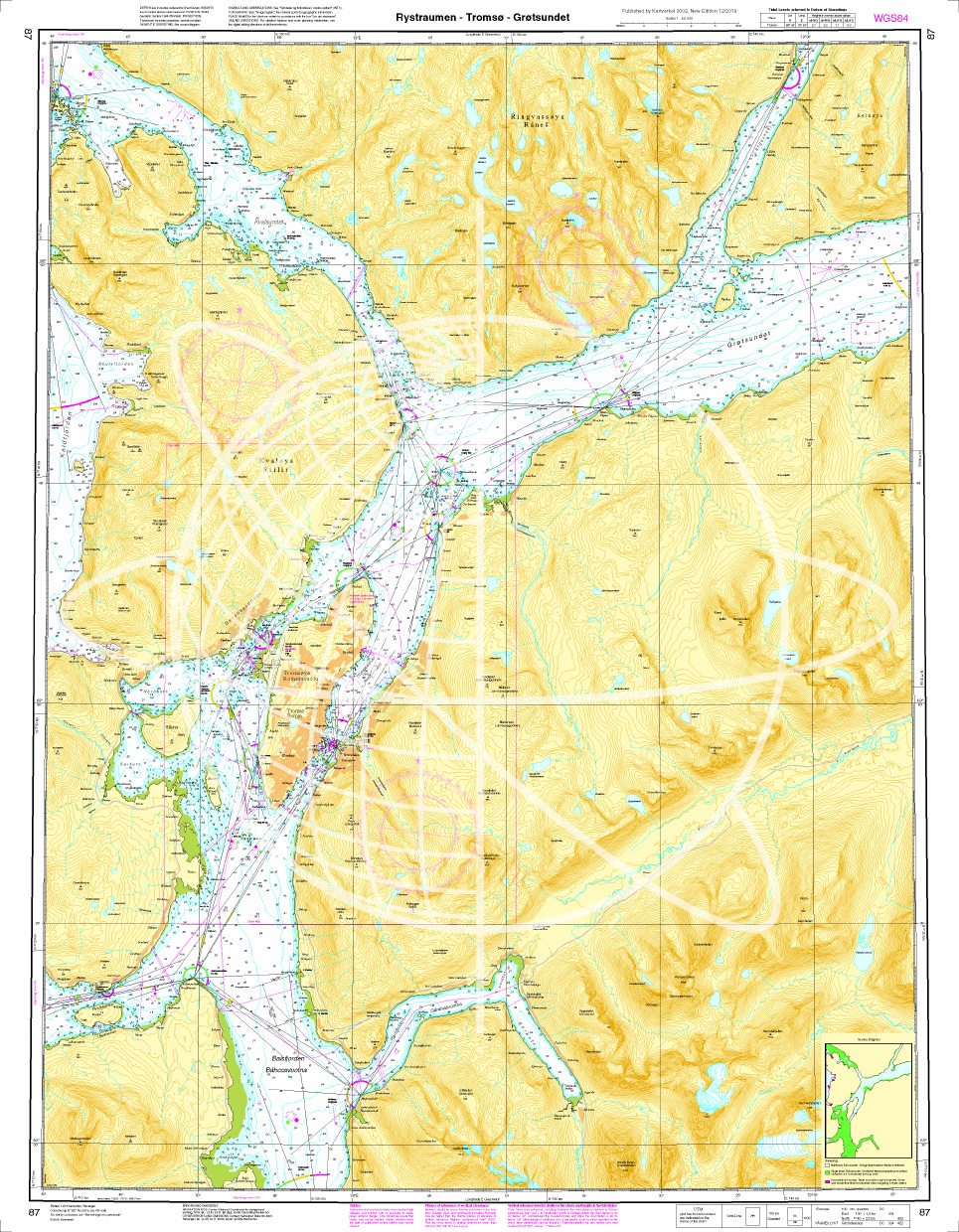
Norwegen N 87 Atlantik Rystraumen - Tromsø - Grøtsundet
Map N 87 shows the waterways around Tromsø with Rystraumen - Tromsø - Grøtsundet.The detailed scale is 1:50000. As an additional map we recommend N 86 (Ytre Kvaløya). We print the maps on customer req

€27.70*
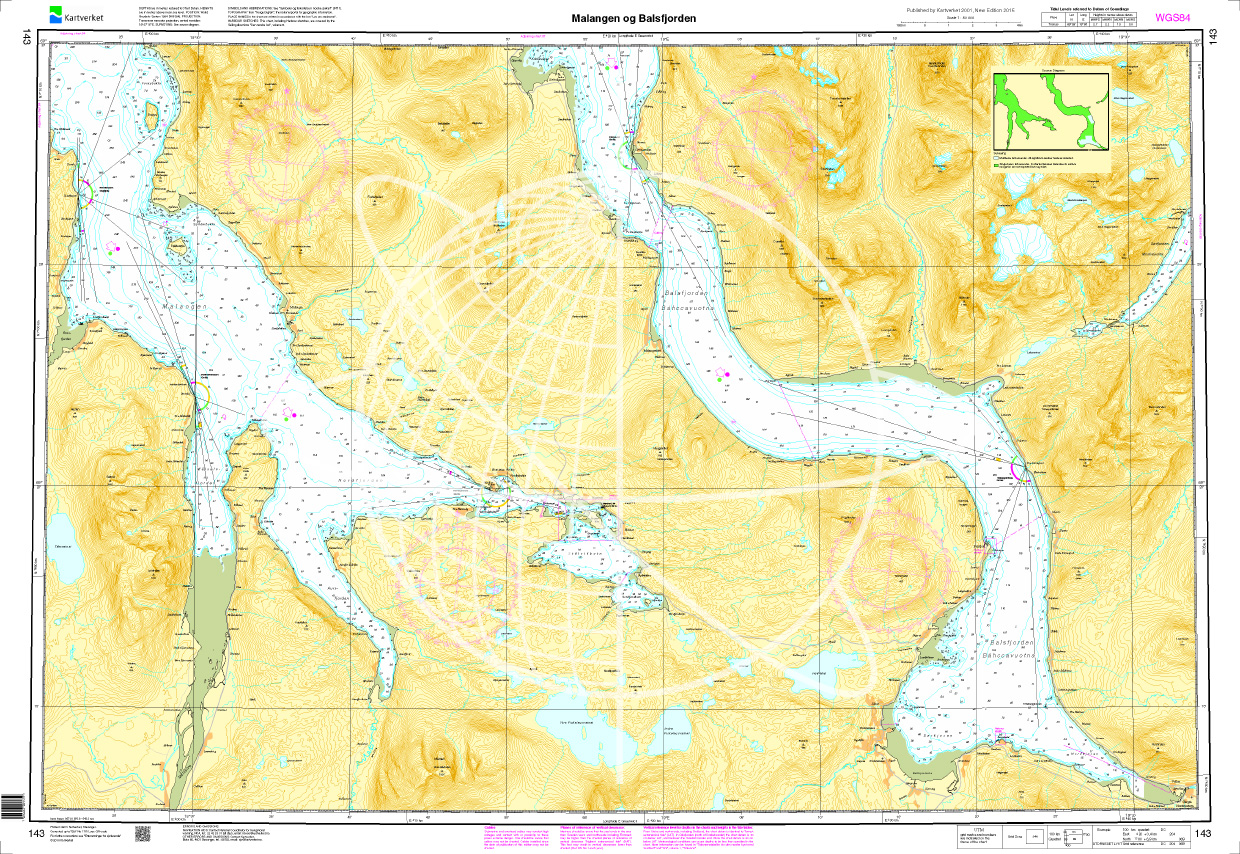
Norwegen N 143 Atlantik Malangen og Balsfjorden
The map N 143 shows the waterways from the Malangenfjord and Balsfjord. The detailed scale is 1:50.000. As an additional map we recommend N 87 (Rystraumen - Tromsø - Grøtsu

€27.70*
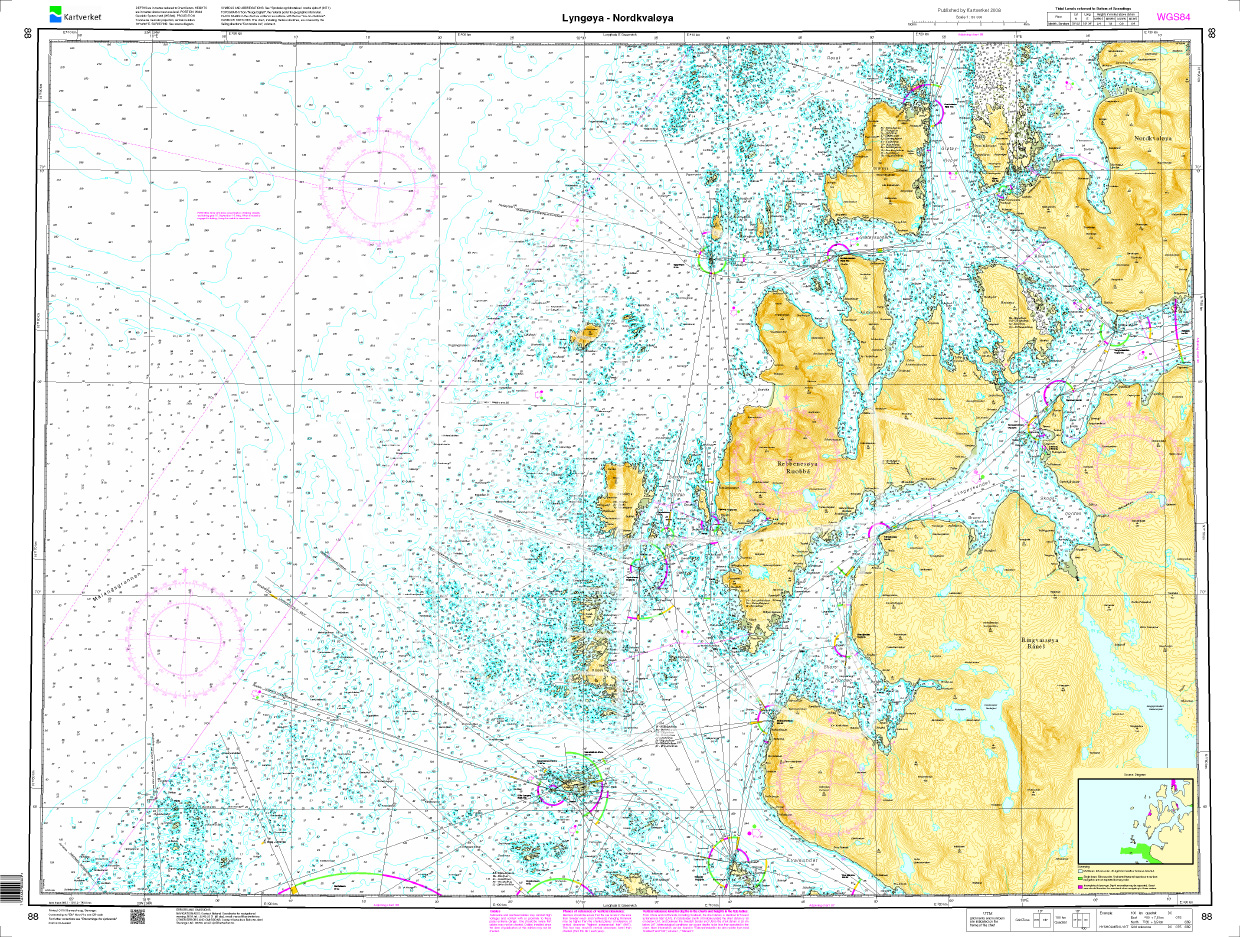
Norwegen N 88 Atlantik Lyngøya - Nordkvaløya
Map N 88 shows the west coast around Tromsø with the offshore islands Lyngøya - Nordkvaløya.The detailed scale is 1:50000. As an additional map we recommend N 89 (Sørfugløya - Kvaløya - Torsvaag).

€27.70*
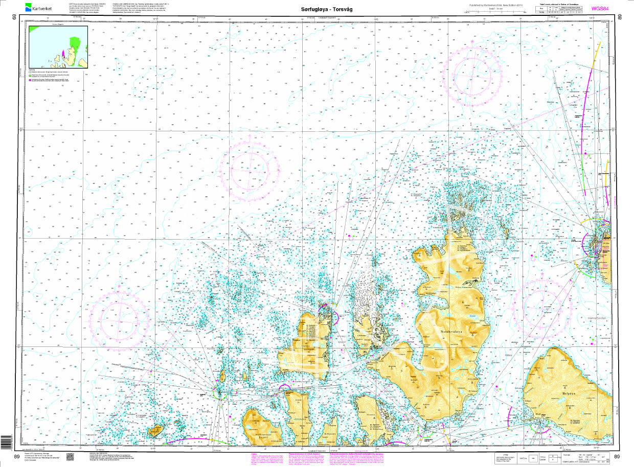
Norwegen N 89 Atlantik Sørfugløya - Kvaløya - Torsvaag
Map N 89 shows the waterways northwest of Tromsø with Sørfugløya - Kvaløya - Torsvaag.The detailed scale is 1:50000. As an additional map we recommend N 92 (Karlsøy - Flatværet - Gåsan). We print the

€27.70*
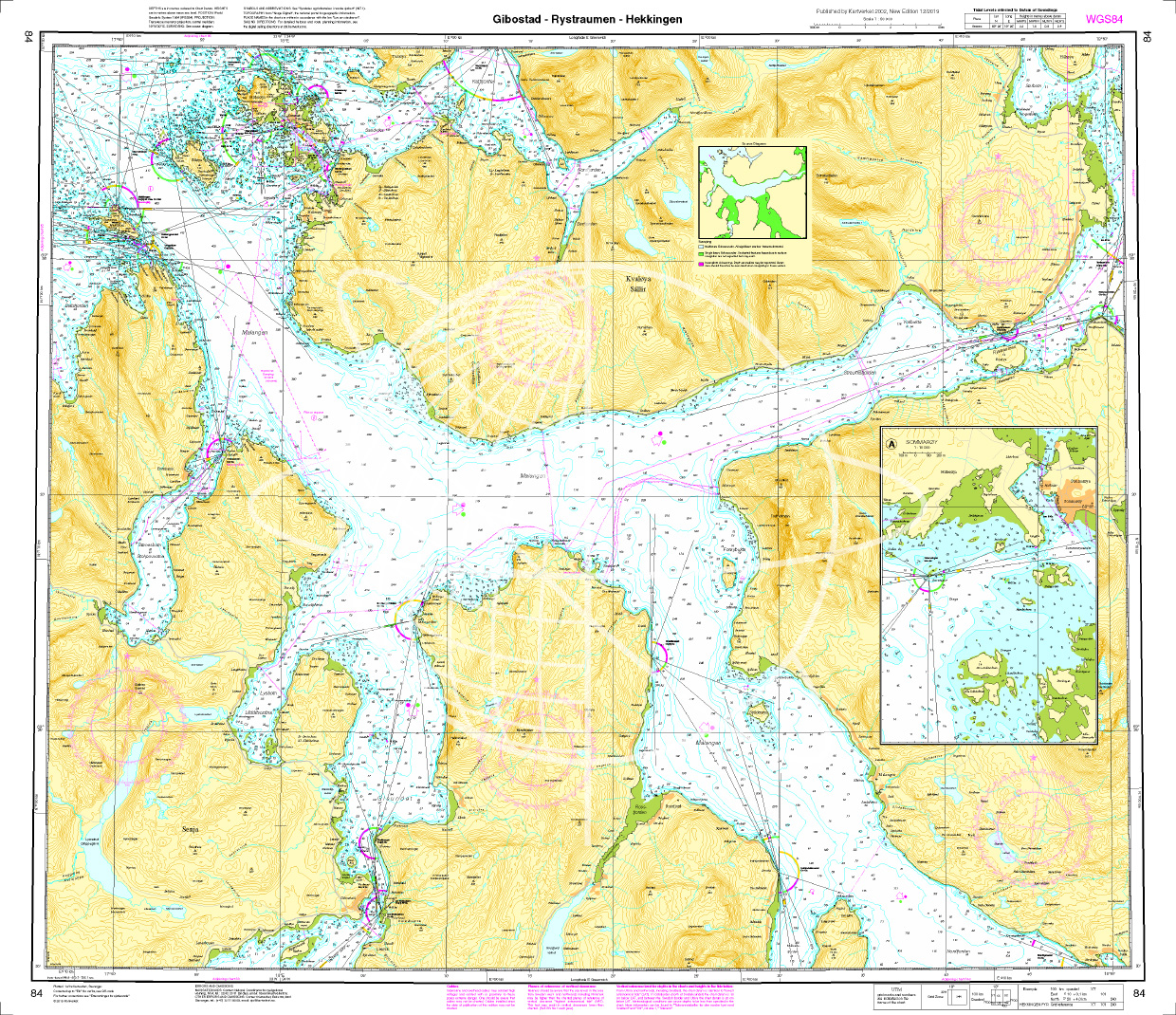
Norwegen N 84 Atlantik Gibostad - Rystraumen - Hekkingen
The map N 84 shows the waterways southwest of Tromsø around the island of Senja with Gibostad - Rystraumen - Hekkingen. The detailed scale is 1:50.000. As an additional map we recommen

€27.70*
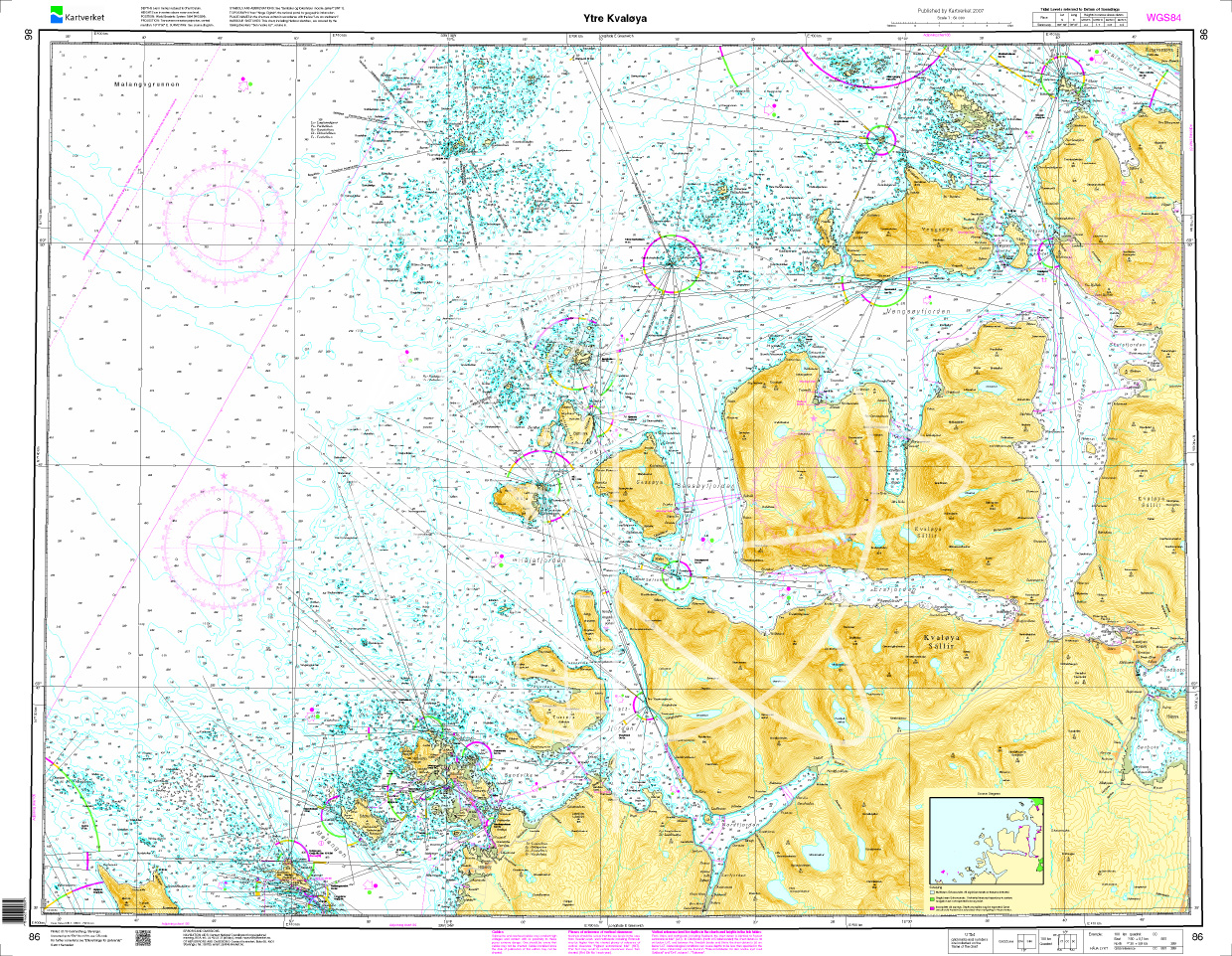
Norwegen N 86 Atlantik Ytre Kvaløya
The Map N 86 shows the outer waterways around the island of Kvaløya west of Tromsø.The detailed scale is 1:50000. As an additional map we recommend N 87 (Rystraumen - Tromsø - Grøt

€27.70*
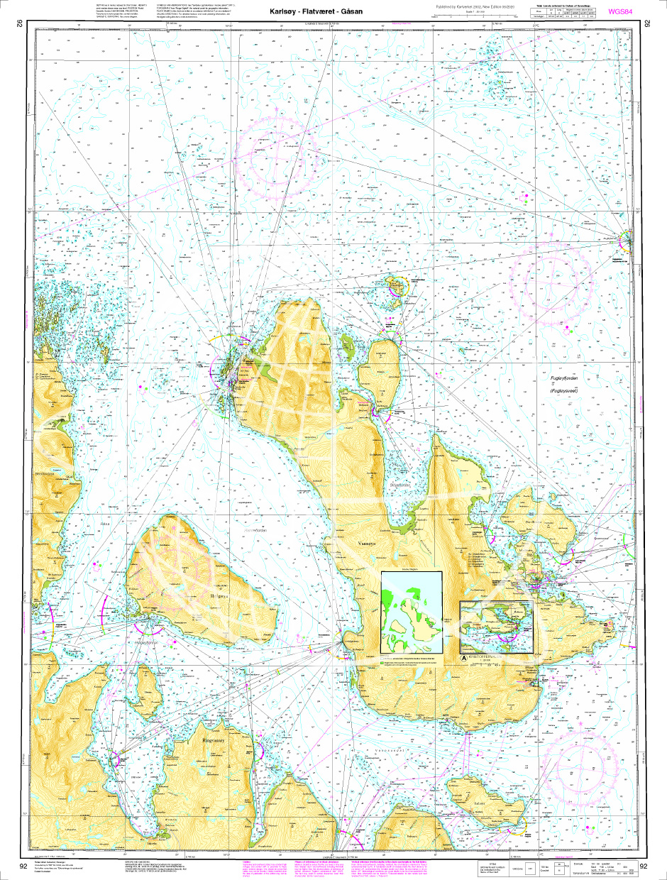
Norwegen N 92 Atlantik Karlsøy - Flatværet - Gåsan
The Sea Chart N 92 covers the fairways of Karlsøy municipality south of Lopphavet in Troms and Finnmark in the area of Karlsøy - Flatværet - Gåsan. Additional harbour map for Kristoffervalen at a

€27.70*
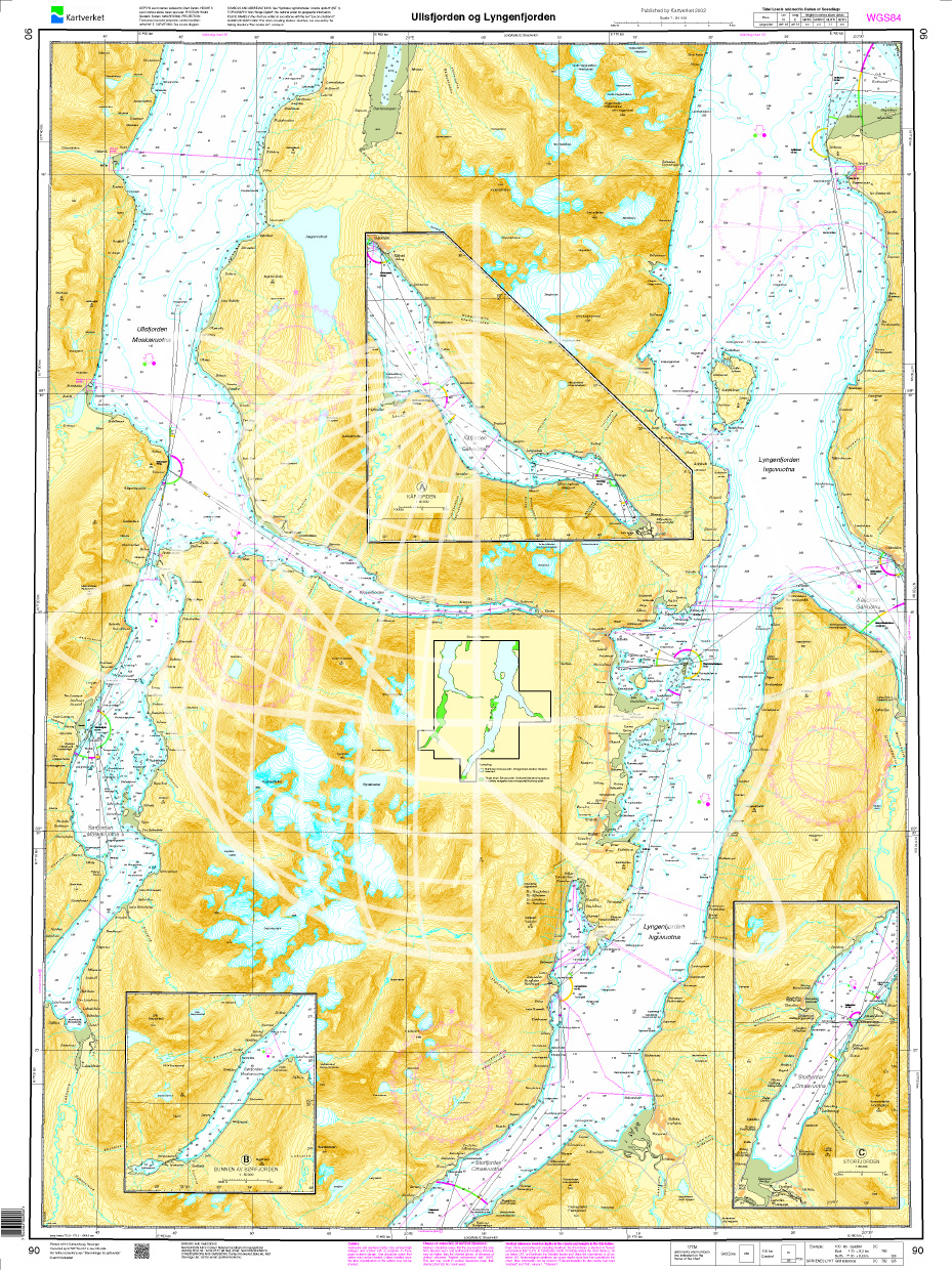
Norwegen N 90 Atlantik Ullsfjorden - Lyngenfjorden
Map N 90 shows the two fjords Ullsfjorden - Lyngenfjorden  east of Tromsø.The detailed scale is 1:50000. As an additional map we recommend N 91 (Grøtsundet - Lyngstuva - Kågen). We print the maps

€27.70*
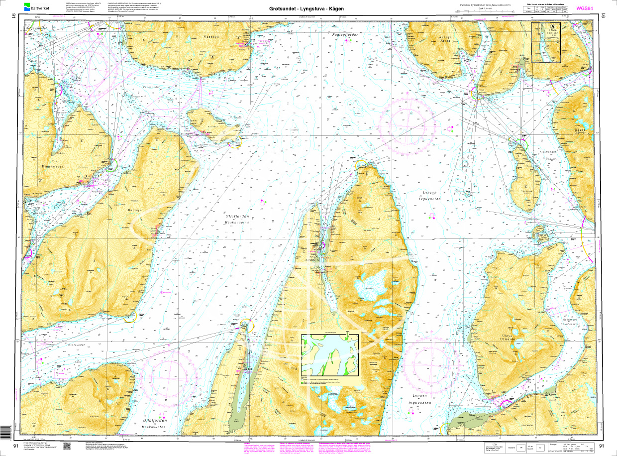
Norwegen N 91 Atlantik Grøtsundet - Lyngstuva - Kågen
Map N 91 shows the waterways around Grøtsundet - Lyngstuva - Kågen northeast of Tromsø.The detailed scale is 1:50000. As an additional map we recommend N 94 (Skjervoey - Kvaenangen). We print the maps

€27.70*
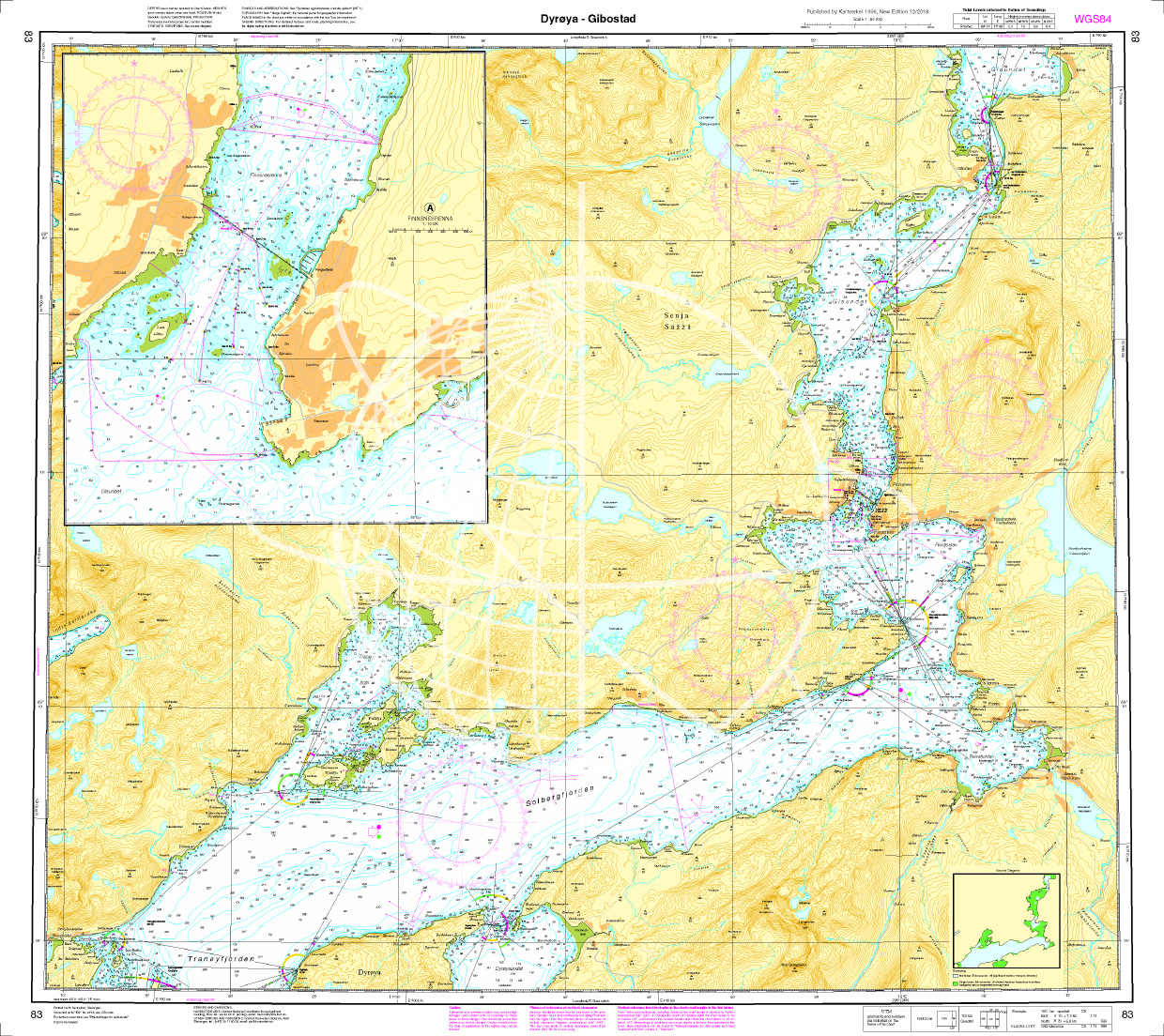
Norwegen N 83 Atlantik von Dyrøya bis Gibostad
The Map N 83 shows the waterways around Solbergjorden and the Gisundet from Dyrøya to Gibostad. The detailed scale is 1:50000. As an additional map we recommend N 81 (Nordmele

€27.70*
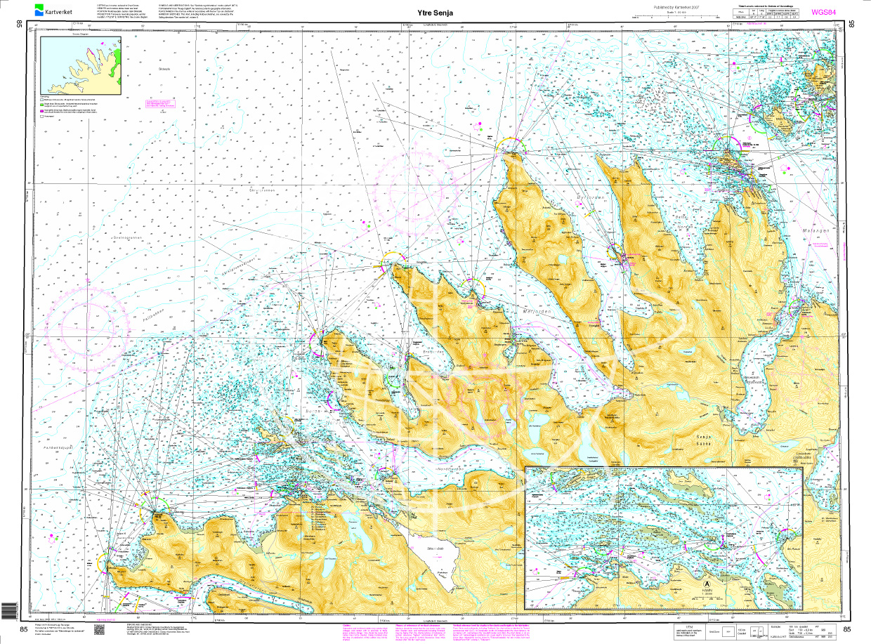
Norwegen N 85 Atlantik Ytre Senja
The Map N 85 shows the outer waterways around the island of Senja southwest of Tromsø.The detailed scale is 1:50000. As an additional map we recommend N 86 (Ytre Kvaløya).We print

€27.70*

Reviews

0 of 0 reviews

Leave a review!

Share your experiences with other customers.