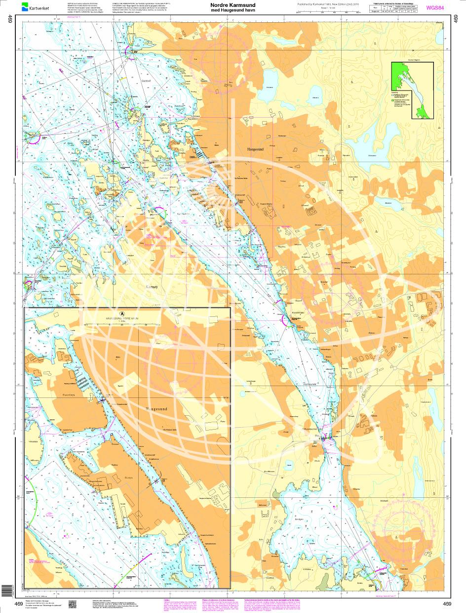
N 469 POD

Chart ID: NOR 469
Scale: 1:10.000

€27.70*


Product number: 20683

Description

Nordre Karmsund med Haugesund havn. - POD cards are excluded from exchange.
Motiv: Seekarte
Region: Nordsee, Norwegen
Area preview

With the help of our area preview, you can get an impression of which geographical region the product deals with or which areas a nautical chart covers.

Products near this article

Products near this article

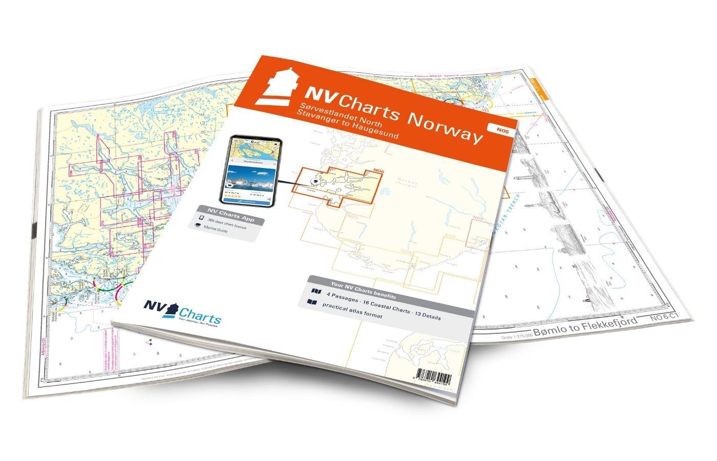
NV Charts Norway NO6 - Sørvestlandet Nord - Stavanger til Haugesund
Would you like to travel to the fairytale fjords on the south-west coast of Norway? The NV Charts Norway NO6 Atlas is your reliable partner. NV Charts for the Norwegian coast are based

€74.99*
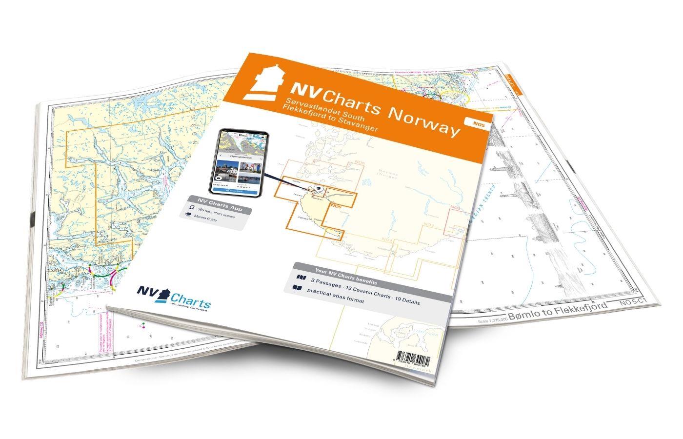
NV Charts Norway NO5 - Sørvestlandet Sør - Flekkefjord til Stavanger
Your companion for the southwest coast of Norway: The NV Charts Norway NO5 . NV Charts for the Norwegian coast are based on data from the Norwegian Hydrographic Office and also include the h

€74.99*
Norwegen N 17 Südwestküste Haugesund mit Karmsundet - Ryvarden - Skjoldafjorden
The Map N 17 (Southwest Norway) depicts at the level of Haugesund the Karmsund the Ryvarden lighthouse to the Skoldafjorden. The detailed scale is 1:50.000. For the adjacen

€27.70*
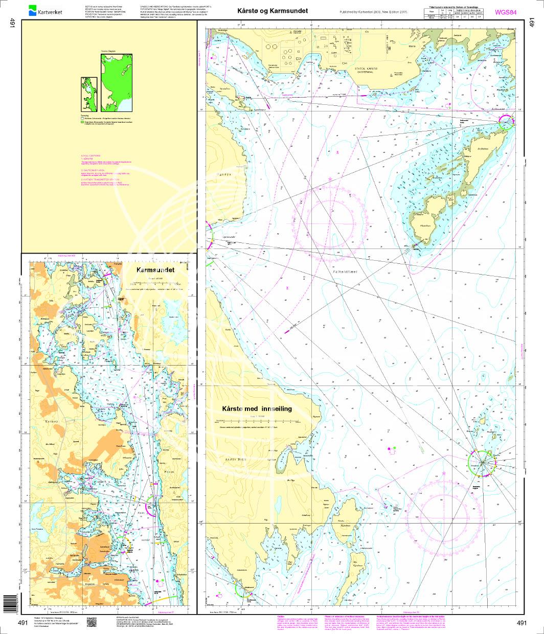
N 491 POD
Kårstø og Karmsundet. - POD cards are excluded from exchange.

€27.70*
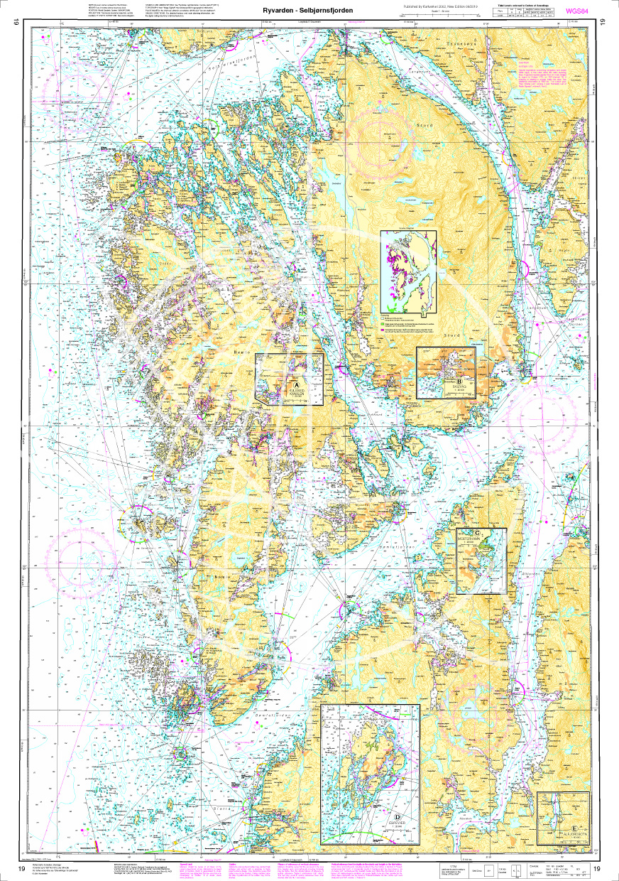
Norwegen N 19 Südwestküste von Osterfjorden und Sørfjorden
The Map N 19 depicts the fjord world above Haugesund and below Bergen with Osterfjorden and Sørfjorden. The detailed scale is 1:50000. As an additional map set we recommend N 20&n

€27.70*
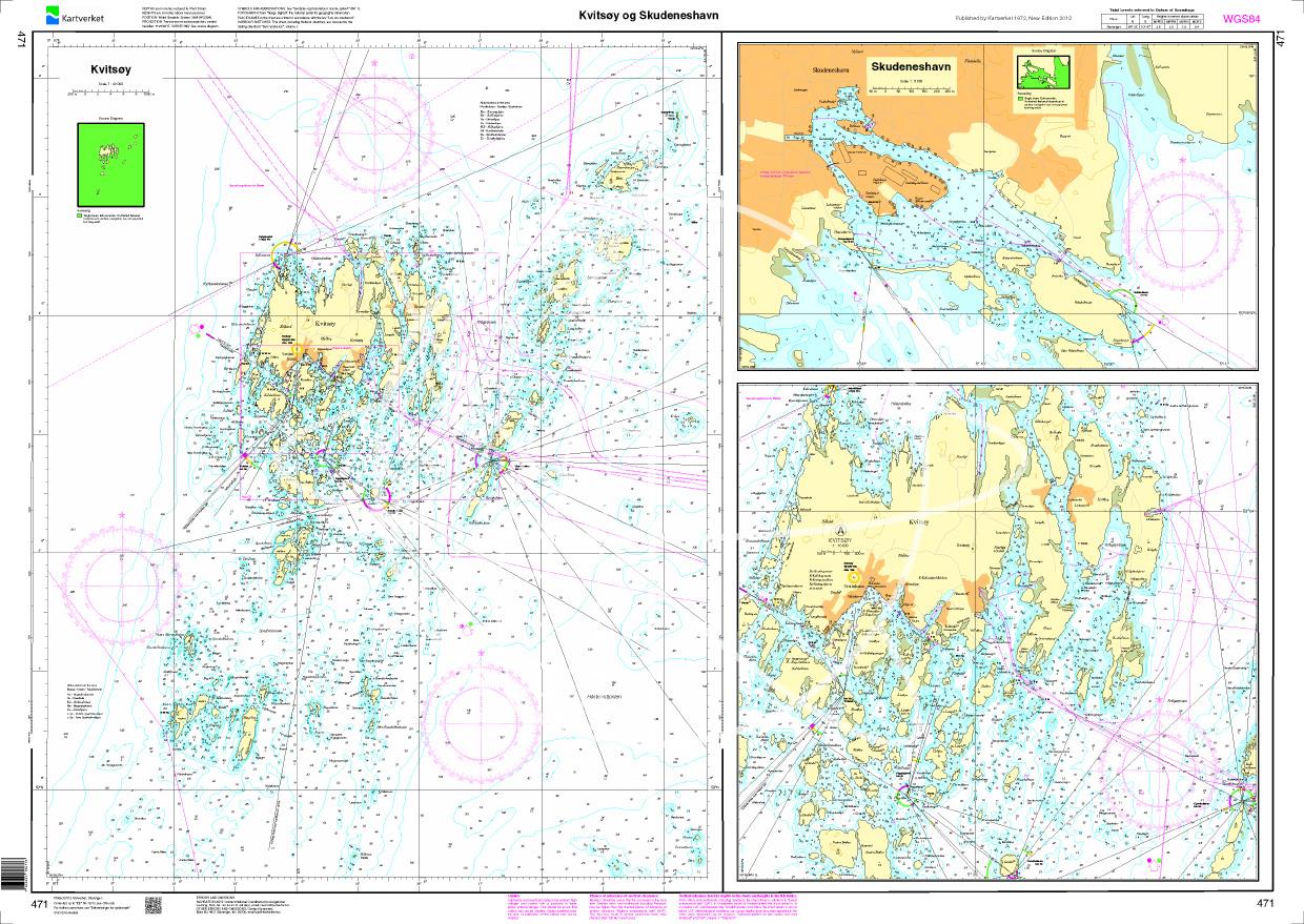
N 471 POD
Kvitsoey og Skudeneshavn. - POD cards are excluded from exchange.

€27.70*
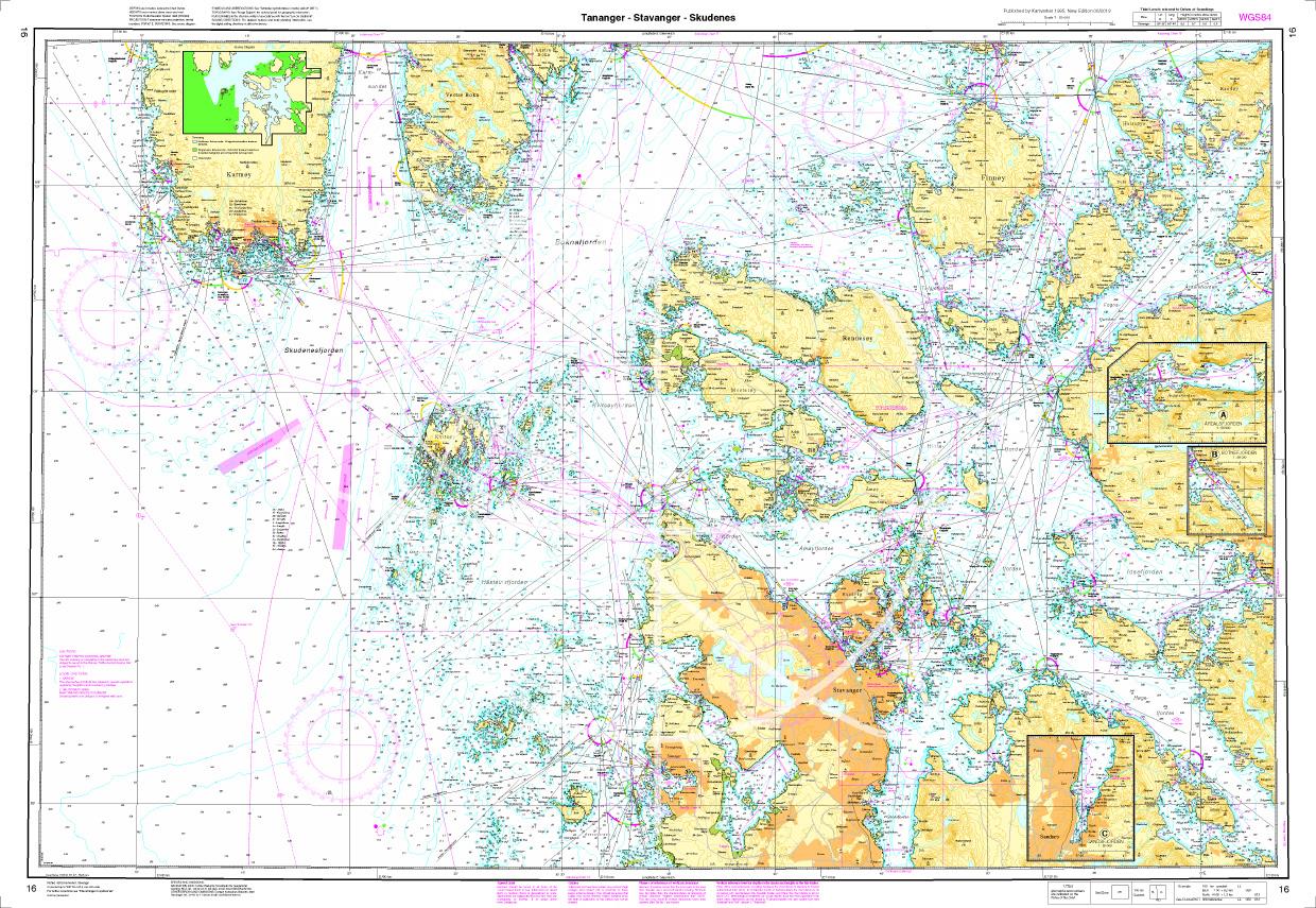
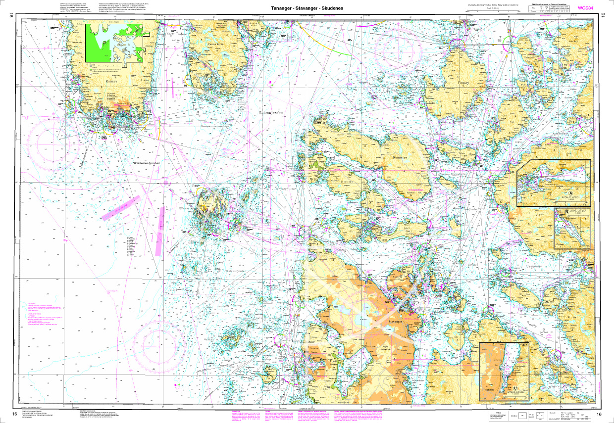
Norwegen N 16 Südwestküste Tananger - Stavanger - Skudenes
The Map N 16 is the map set depicting Stavanger and surroundings. The detailed scale is 1:50.000. For approaching the two adjacent fjords Høgsfjorden and Lisefjorden we rec

€27.70*
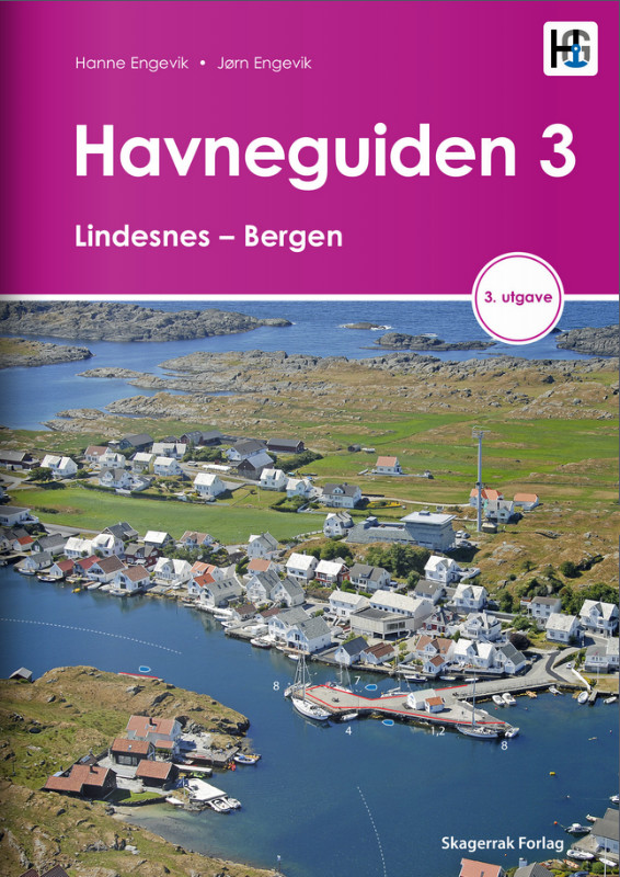
Havneguiden 3 Lindesnes - Bergen
When the rugged and beautiful southwest coast of Norway calls, be sure to take Havneguide 3 with you as it guides you from Lindesnes to Bergen.The most comprehensive Norwegian cruising guide has over

€74.90*
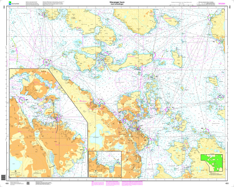
Norwegen N 455 - Südwestnorwegen Stavanger und Ansteuerungen
The chart N 455 covers the port of Stavanger and the approaches to it.  It is printed on customer request from the publishers current data using the Print-on-Demand (POD) process.POD charts are ex

€27.70*
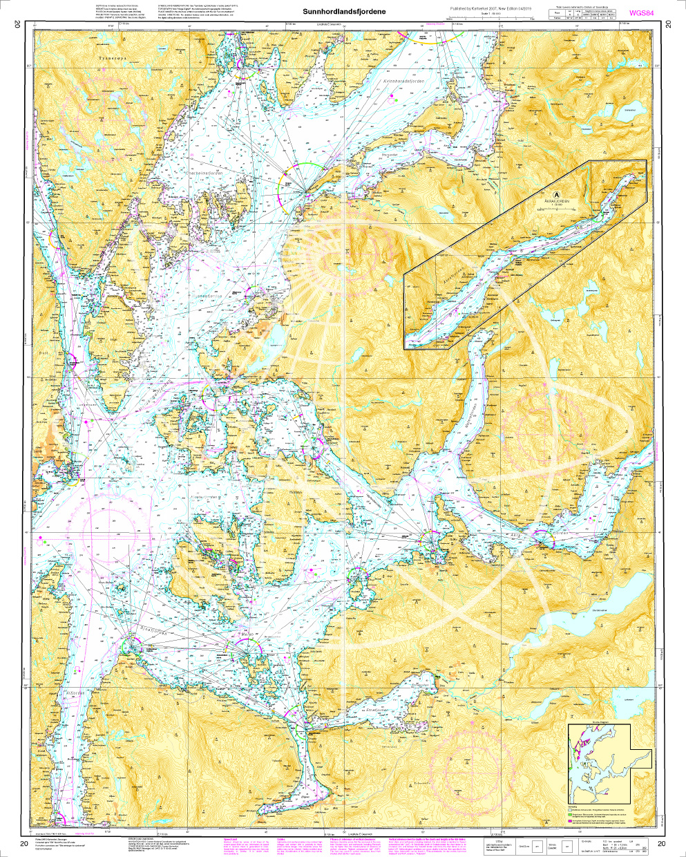
Norwegen N 20 Südwestküste Sunnhordland Fjord
The Map N 20 is needed to dive into the glacier world of Norway  in the region Sunnhordland with the Sunnhordlandfjord . The detailed scale is 1:50000. We print the

€27.70*
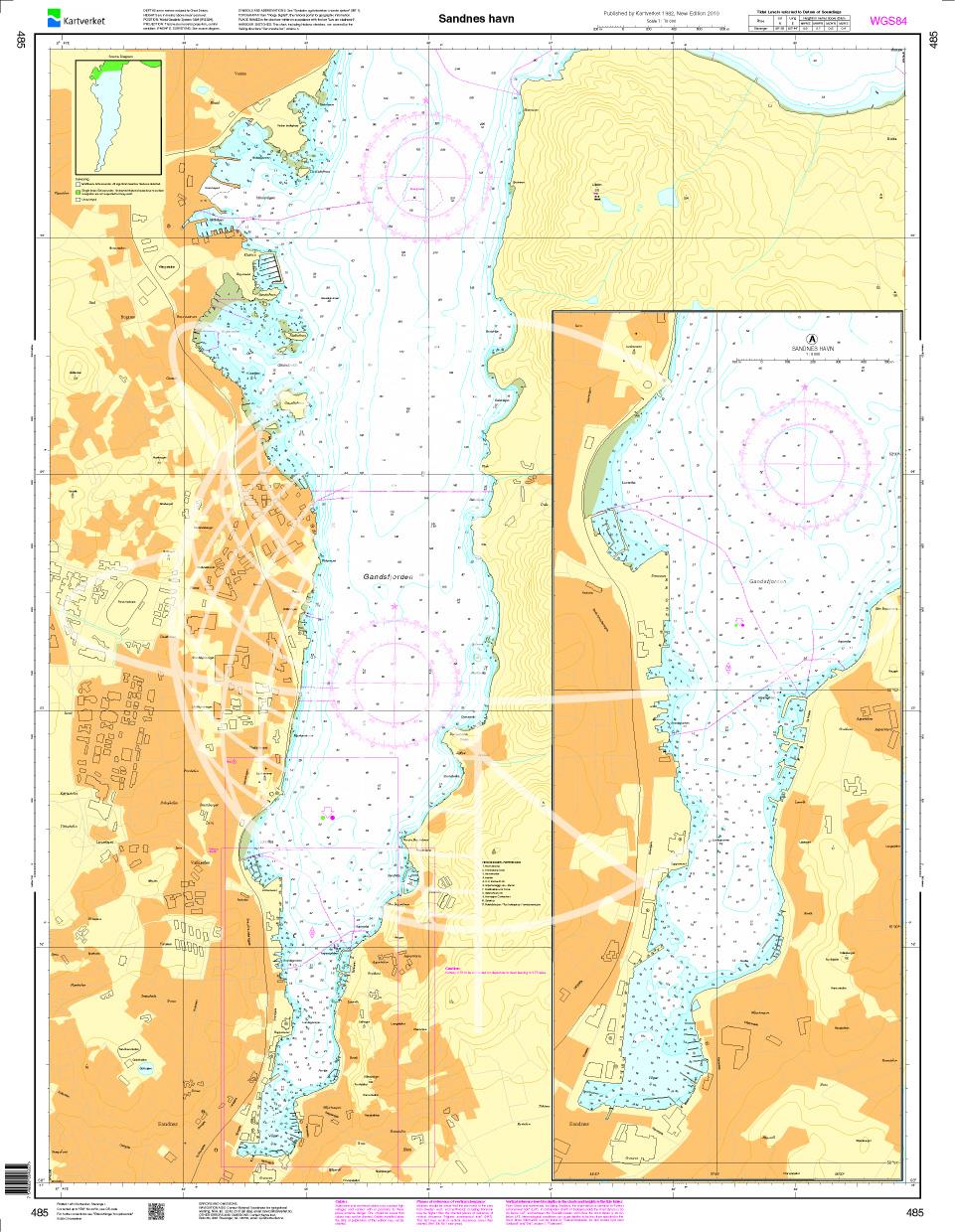
N 485 POD
Sandnes havn. - POD cards are not exchangeable.

€27.70*

Reviews

0 of 0 reviews

Leave a review!

Share your experiences with other customers.