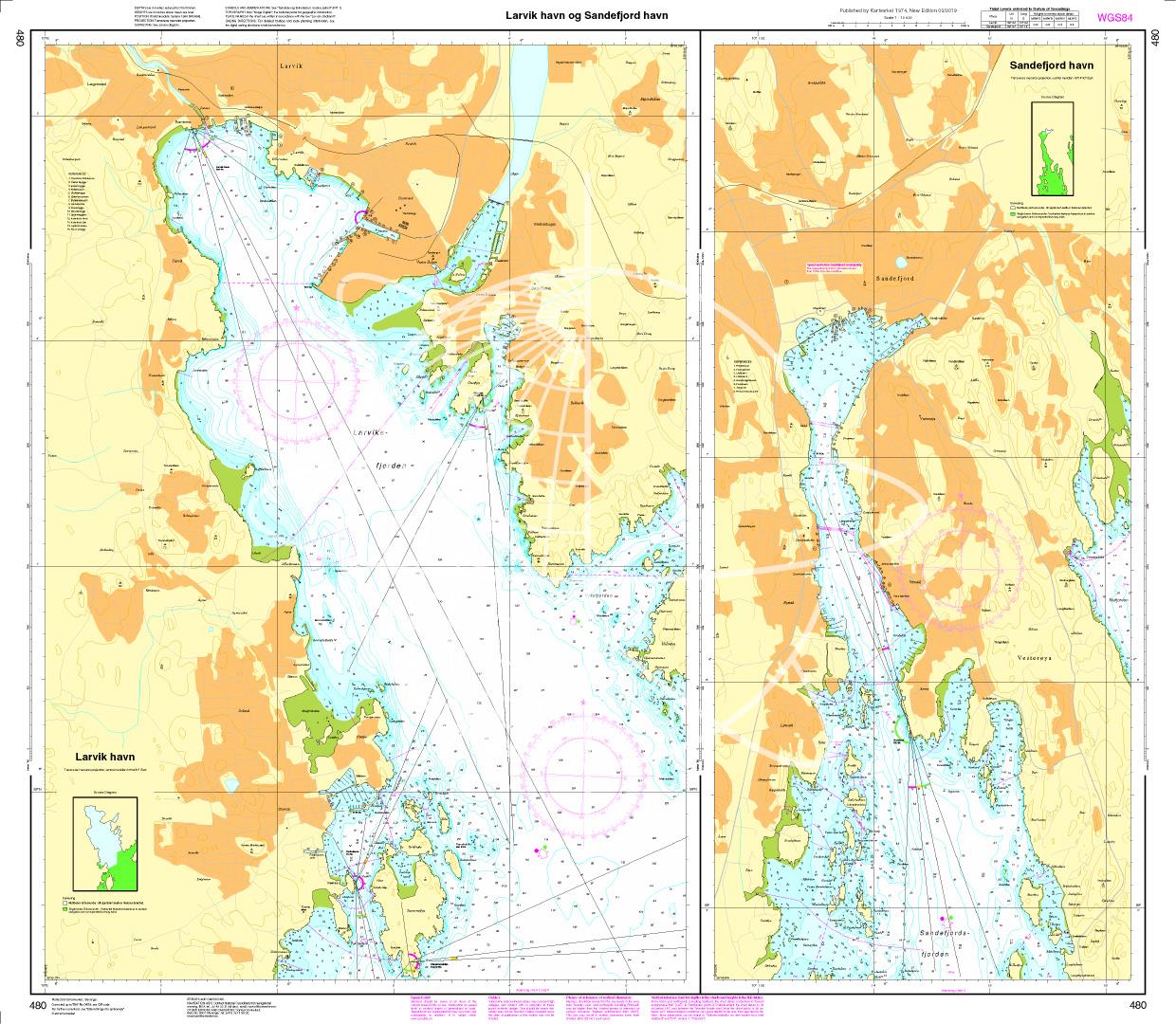
N 480 POD

Chart ID: NOR 480
Scale: 1:10.000

€27.70*


Product number: 20693

Description

Larvik havn. Sandefjord havn. - POD cards are excluded from exchange.
Motiv: Seekarte
Region: Skagerak, Norwegen
Area preview

With the help of our area preview, you can get an impression of which geographical region the product deals with or which areas a nautical chart covers.

Products near this article

Products near this article

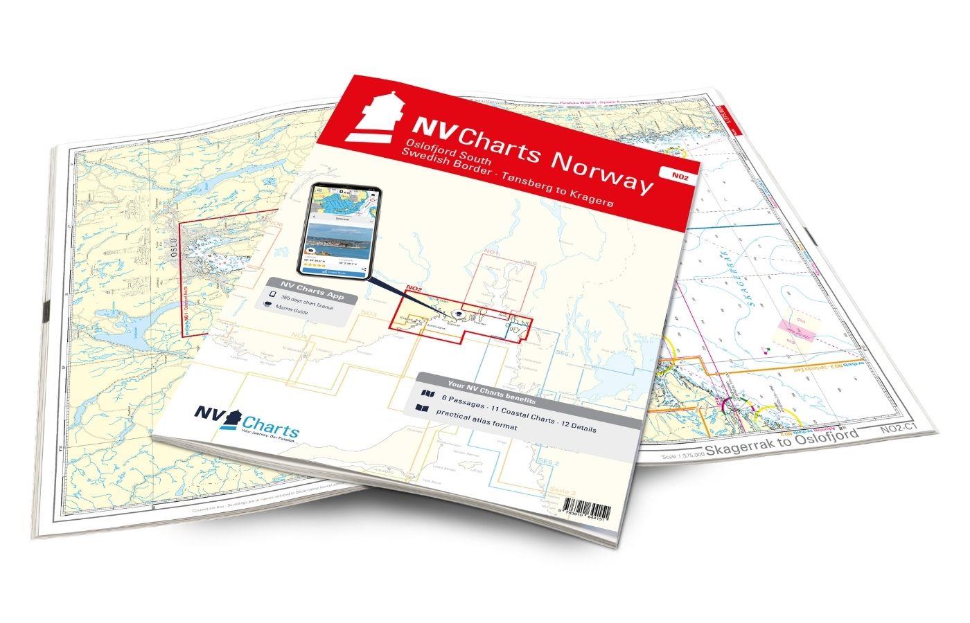
NV Charts Norway NO2 - Oslofjord Sør, Svenska Grensen til Kragerø
The NV Charts Atlas NO2 covers the southern Oslofjord. NV Charts for the Norwegian coast are based on data from the Norwegian Hydrographic Office and also include the harbour plans of the "Norske Los"

€74.99*
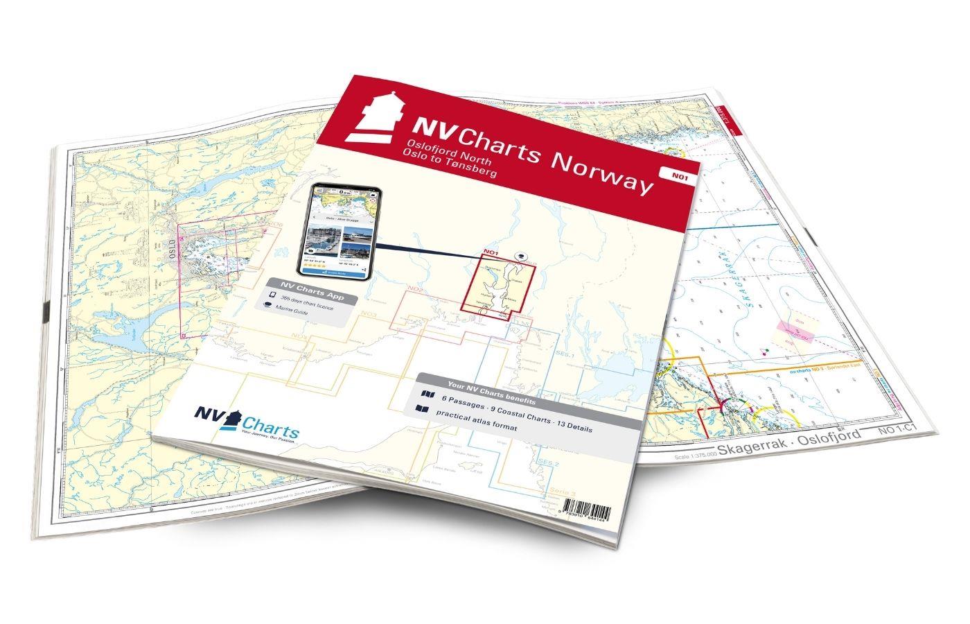
NV Charts Norway NO1 - Oslofjord Nord, Oslo to Tønsberg
The NV Charts Norway Atlas NO1 covers the region around Oslo. NV Charts charts for the Norwegian coast are based on data from the Norwegian Hydrographic Office and also include the harbour plans of th

€74.99*
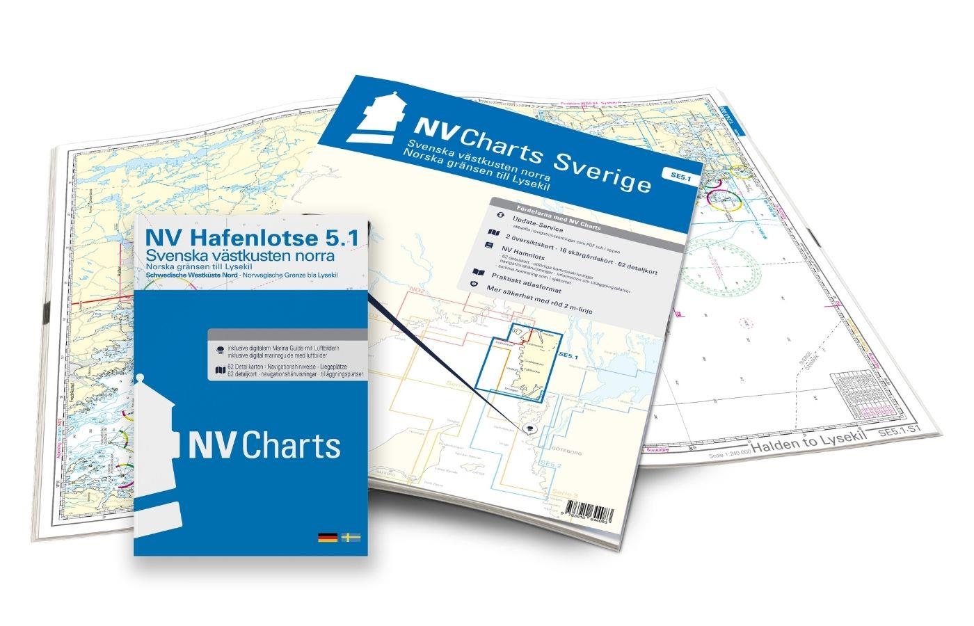
NV Charts Sverige SE 5.1 - Svenska Västkusten Norra
To get to the Oslofjord via the Swedish West Coast, there is no way around the NV Charts Atlas Series 5.1 Svenska Västkusten Norra past. This chart series, specially designed for recreational boating,

€69.90*
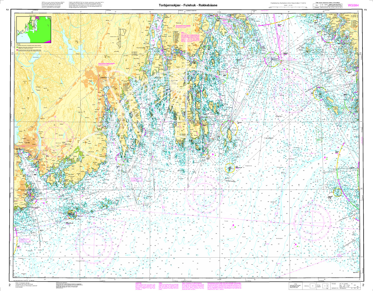
Norwegen N 2 - Oslofjord, Torbjørnskjær - Fulehuk - Rakkebåene
The Sea Chart N 2 covers the west coast of the Oslofjord and the offshore islands as far as Hvaler with Torbjørnskjær - Fulehuk - Rakkebåene . The deatiled scale is 1:50.000. We print

€27.70*
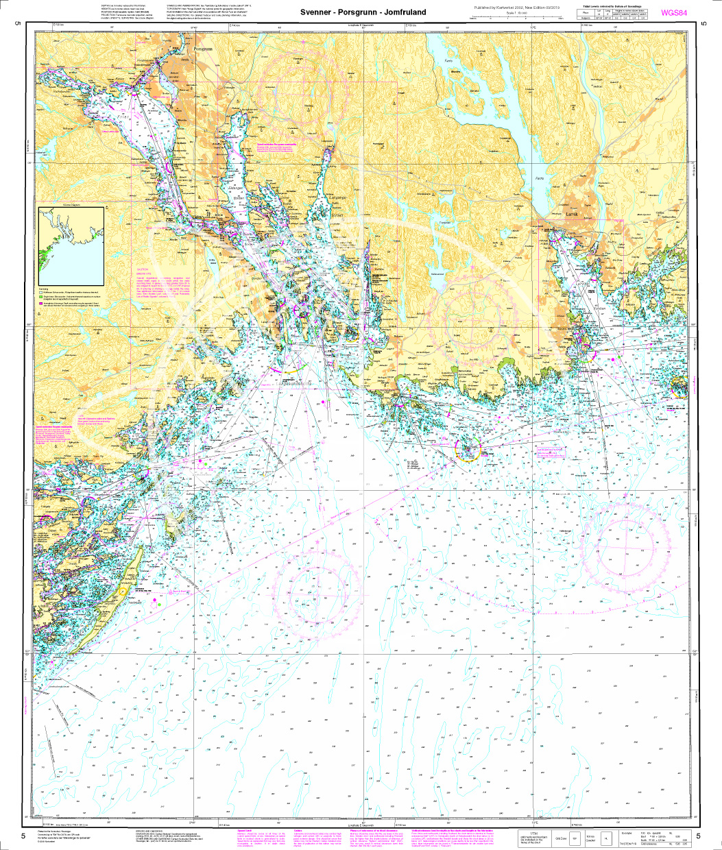
Norwegen N 5 Oslofjord Svenner - Porsgrunn - Jomfruland
The Sea Chart N 5 covers the western coast of the Oslofjord from the Svenner lighthouse to Jomfruland. The detailed scale is 1:50000. We print the chart on customer request from current data sets

€27.70*
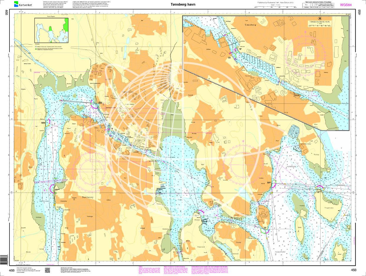
N 468 POD
Tønsberg havn. - POD cards are excluded from exchange.

€27.70*
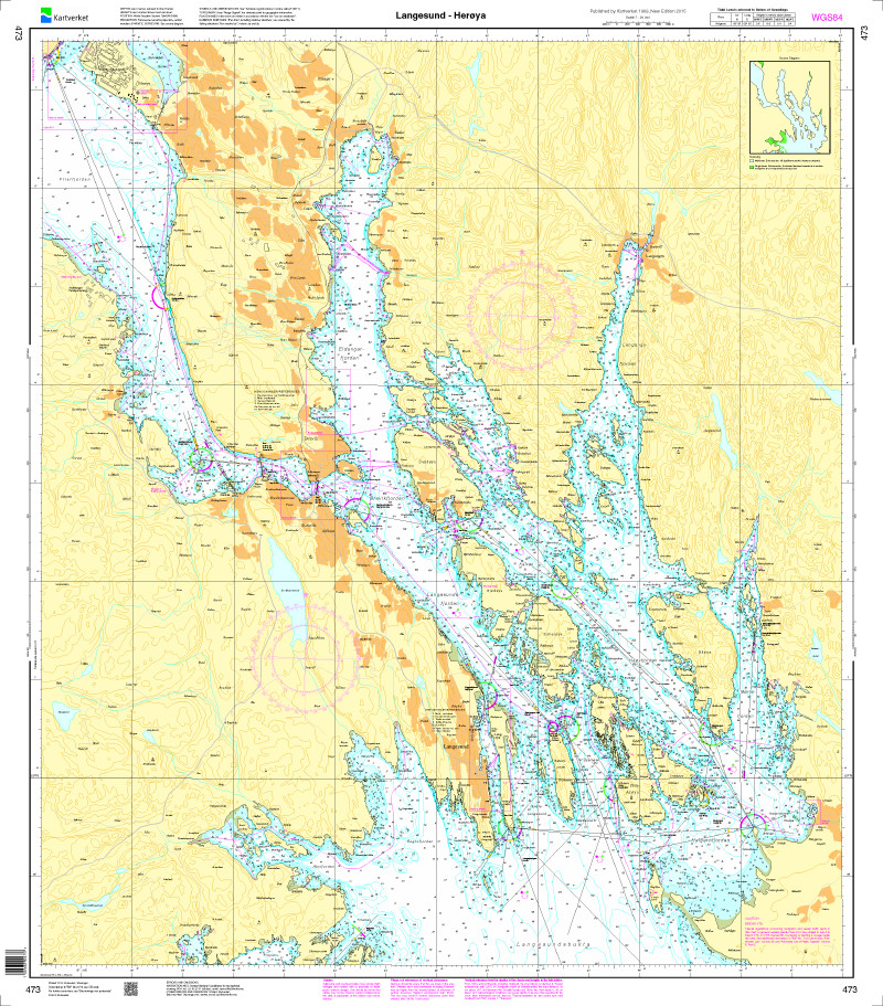
Norwegen N 473 - Langesund - Herøya
The Sea Chart N 473 covers the approaches to Porsgrunn and the Grenlandsområdet. The sea area off Langesund Stathelle Brevik Frier Asdaltangen to Herøya are shown in detail at a scale of 1:20000. Thi

€27.70*
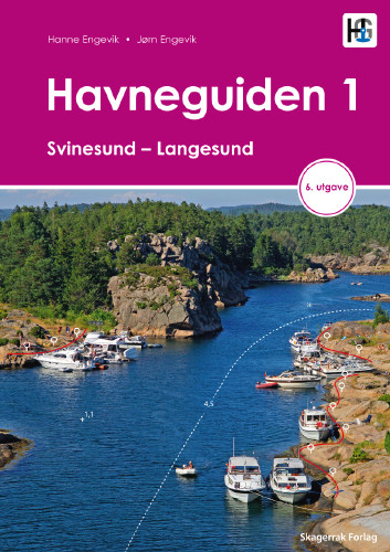
Havneguiden 1 Svinesund - Langesund
Boaters planning to sail the Oslo Fjord should definitely have the Havneguiden1 (Svinesund to Langesund) on board as a cruising guide.This is a Norwegian-made guide to ports, with unique aerial photos

€74.90*
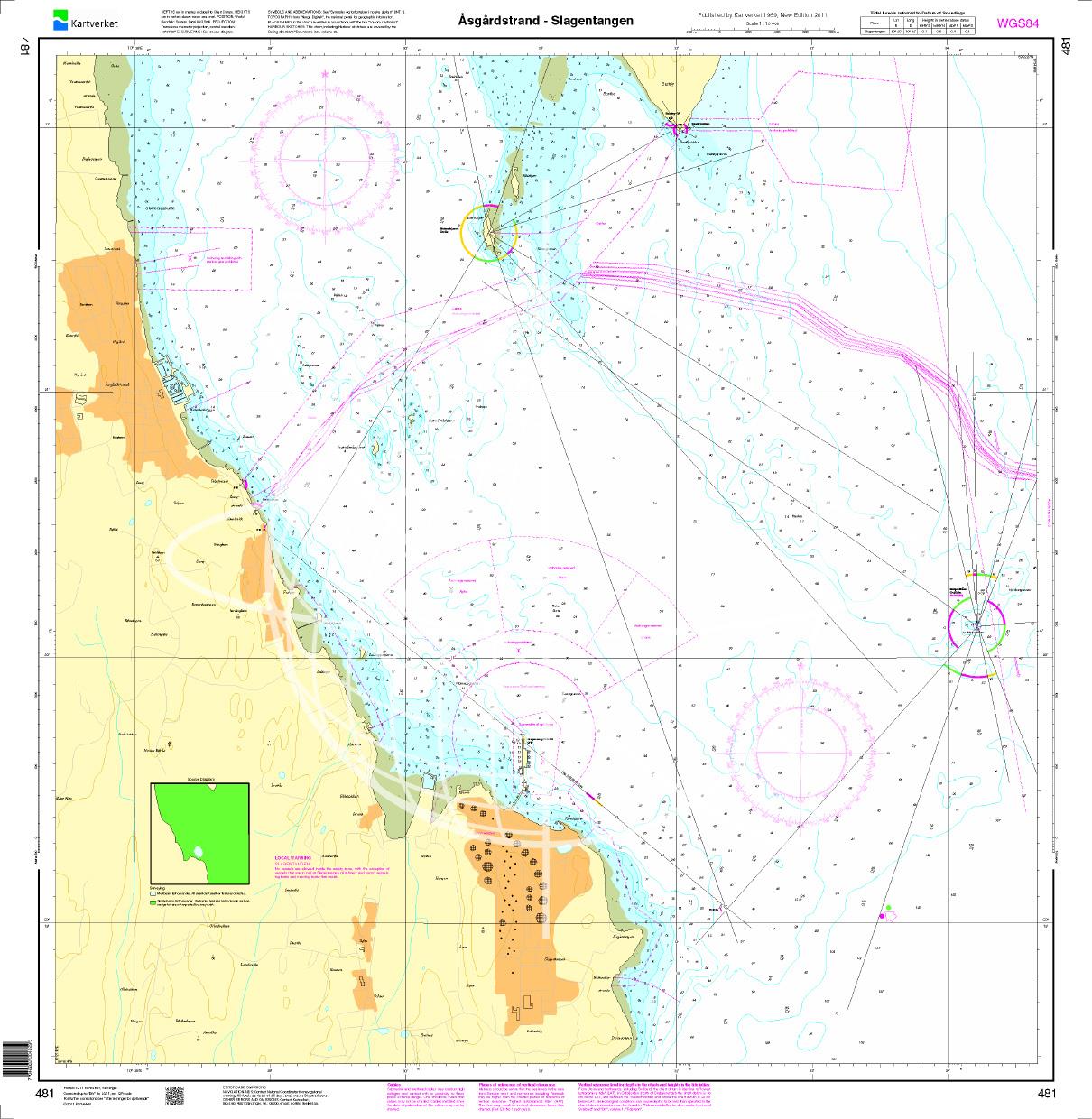
N 481 POD
Åsgårdstrand - Slagenstangen. - POD cards are excluded from exchange.

€27.70*
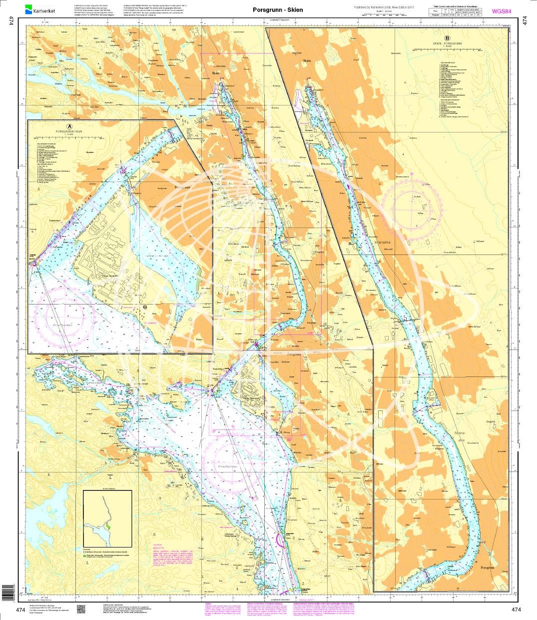
N 474 POD
Porsgrunn - Skien. - POD cards are excluded from exchange.

€27.70*
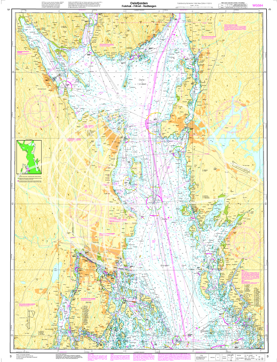
Norwegen N 3 Oslofjord Fulehuk - Filtvet - Roedtangen
The Sea Chart N 3 covers the Oslofjord at the level of the Fuglehuk lighthouse up to Filtvet - Roedtangen. The scale is 1:50000. We print this map on customer request from actual datas

€27.70*

Reviews

0 of 0 reviews

Leave a review!

Share your experiences with other customers.