Norwegen N 521 Spitzbergen Femtebreen - Gråhuken

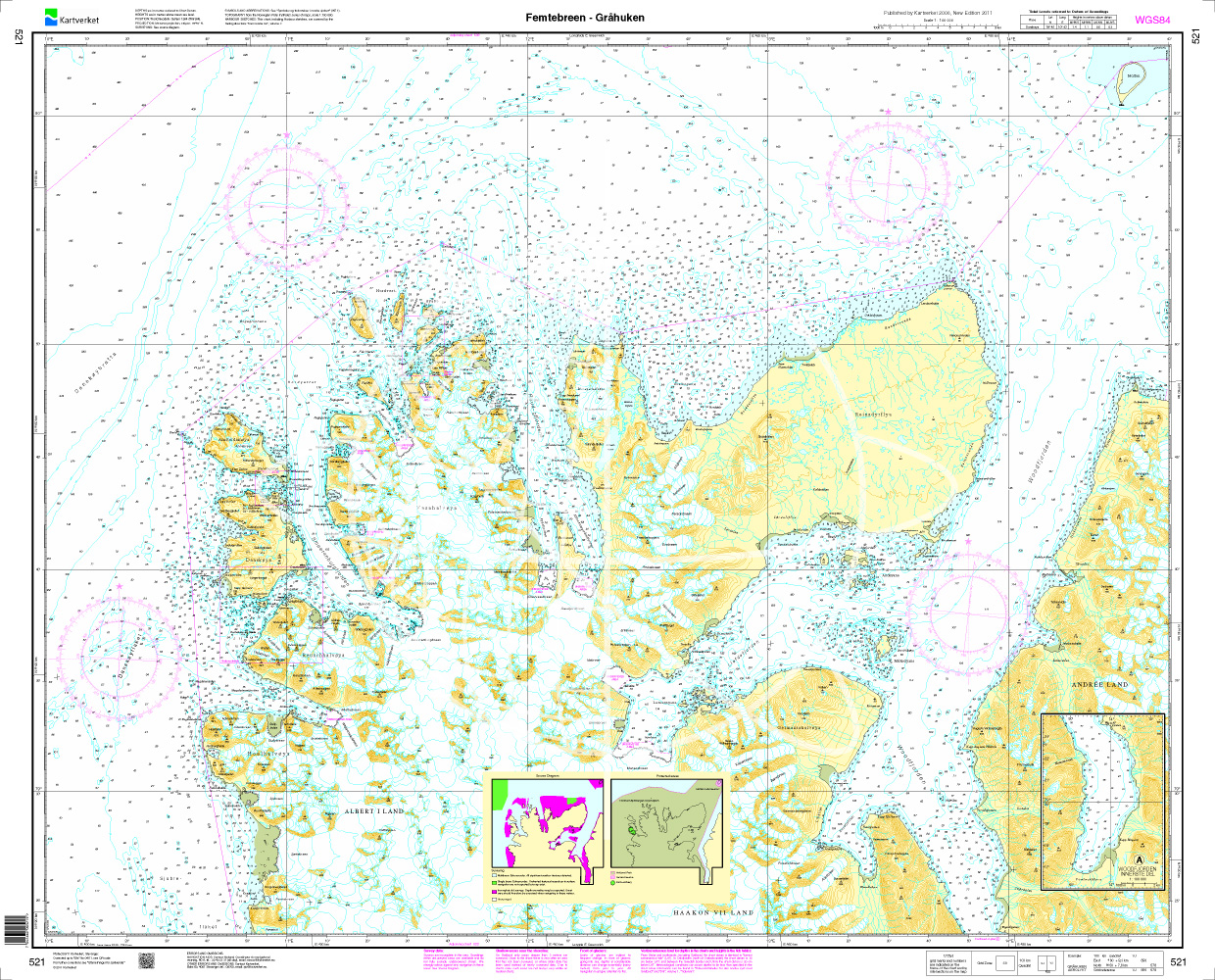
Chart ID: NOR 521
Scale: 1:100.000

€27.70*


Product number: 20717

Description

Navigation chart N 521 covers the northern waters on Spitsbergen from Femtebreen - Gråhuken.

The detailed scale is 1:100000.

We print the charts on customer request from the current data sets of the Norwegian Bureau of Hydrography using the print-on-demand (POD) method.

As an additional chart we recommend N 540 (Moffen - Lågøya).

POD charts are excluded from exchange.

The official Norwegian nautical charts are not only suitable for water sports enthusiasts and anglers to navigate but are also very popular with cruise tourists.

For more information on official Norwegian nautical charts please click here

Region: Europa, Atlantik, Norwegen
Size: Einzelkarte Papier
Area preview

With the help of our area preview, you can get an impression of which geographical region the product deals with or which areas a nautical chart covers.

Products near this article

Products near this article

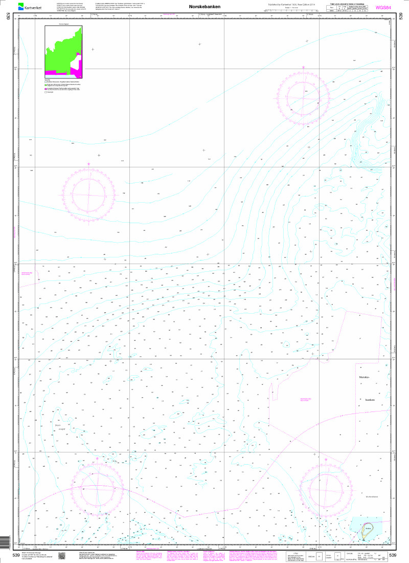
N 539 POD
Norskebanken. - POD cards are excluded from exchange.

€27.70*
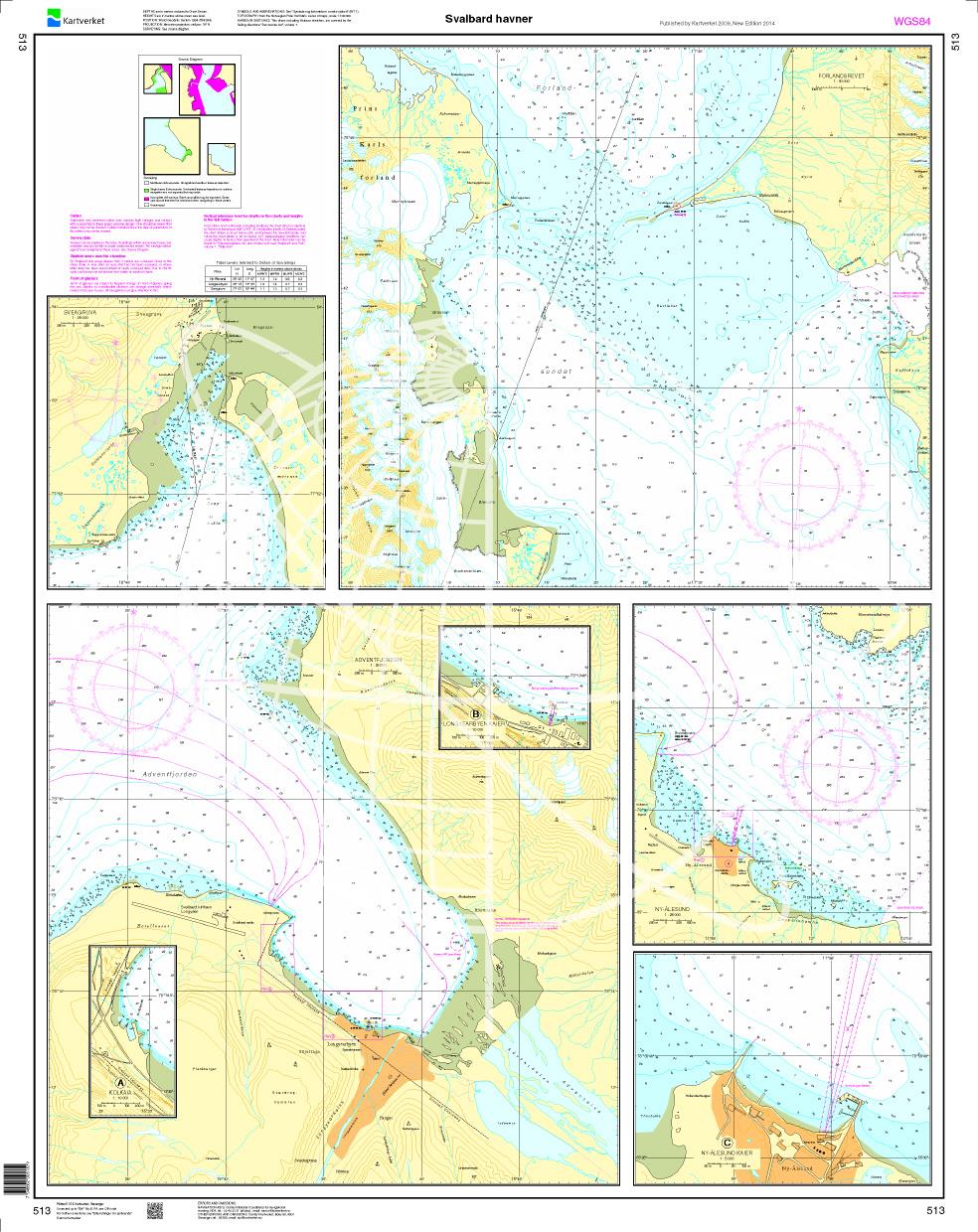
N 513 POD
Svalbard - Havner. - POD cards are excluded from exchange.

€27.70*
Norwegen N 524 Spitzbergen Prins Karls Forland - Barentsburg
Map N 524 covers the southern part of Norways northernmost archipelago Spitsbergen with Prins Karls Forland - Barentsburg.The detailed scale is 1:100000.As an additional map we recommend N 525 (Bellsu

€27.70*
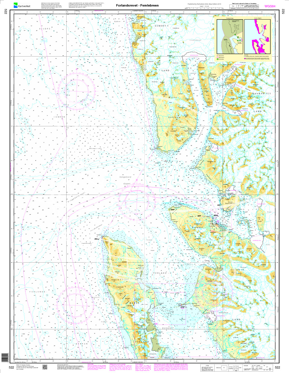
Norwegen N 522 Spitzbergen Forlandsrevet - Femtebreen
Navigation chart N 522 covers the northern waters on Spitsbergen from Forlandsrevet - Femtebreen. The detailed scale is 1:100000. We print the charts on customer request from the current data sets of

€27.70*
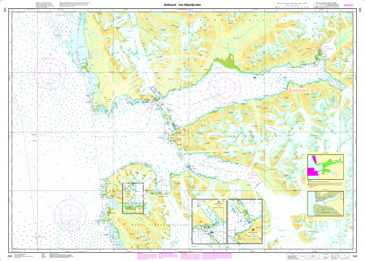
Norwegen N 525 Spitzbergen Bellsund - Van Mijenfjorden
Map N 525 covers the southern part of Norways northernmost archipelago Spitsbergen with Bellsund - Van Mijenfjorden.The detailed scale is 1:100000.As an additional map we recommend N 523 (Isfjorden).W

€27.70*
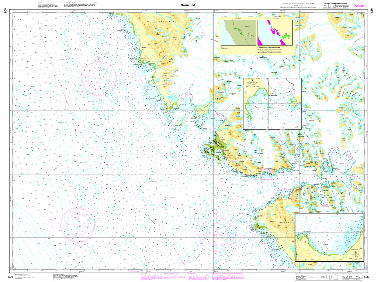
Norwegen N 526 Spitzbergen Hornsund
Map N 526 covers the southern part of Norways northernmost archipelago Spitsbergen with Hornsund.The detailed scale is 1:100000.As an additional map we recommend N 525 (Bellsund - Van Mijenfjorden

€27.70*
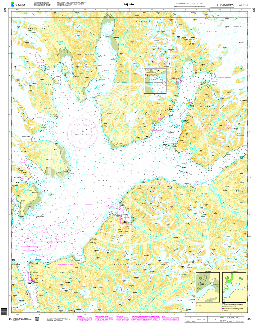
Norwegen N 523 Spitzbergen Isfjorden
Map N 523 covers the southern part of Norways northernmost archipelago Spitsbergen with Isfjorden The detailed scale is 1:100000.As an additional map we recommend N 524 (Prins Karls Forland - Bare

€27.70*
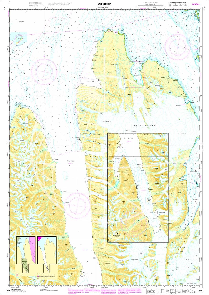
Norwegen N 538 - Wijdefjorden auf Spitzbergen (Svalbard)
The Sea Chart N 538 covers the Wijdefjorden of northern Spitsbergen. N 538 Wijdefjorden was published as a new map on 26 May 2020. The map covers Wijdefjorden with the fjord arms Austfjorden and Vestf

€27.70*
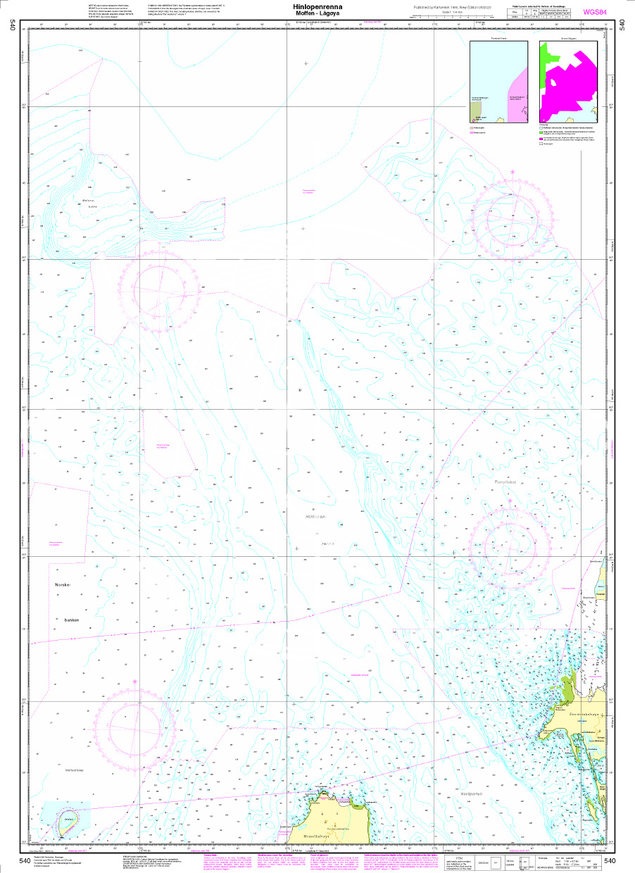
Norwegen N 540 Spitzbergen Moffen – Lågøya
Navigation chart N 540 covers the waters rof Hinlopenrenna (German: Hinlopengraben) on the north coast of Spitsbergen from Moffen to Lågøya . This is the sea area north of the Nordporten i.e. the

€27.70*
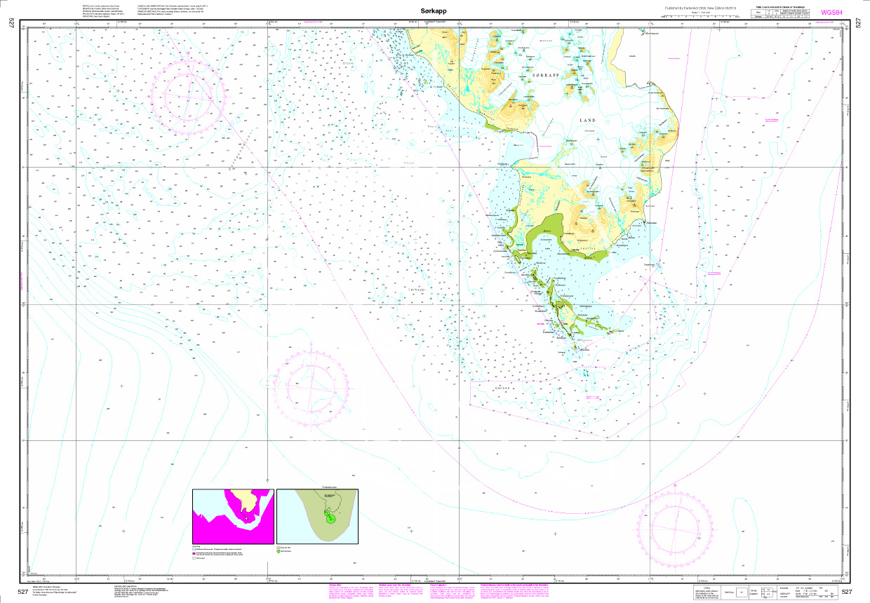
N 527 Spitzbergen mit Sørkapp
Map N 527 covers the southern part of Norways northernmost archipelago Spitsbergen with Sørkapp. The detailed scale is 1:100000.As an additional chart we recommend N 526  (Hornsund) with the north

€27.70*
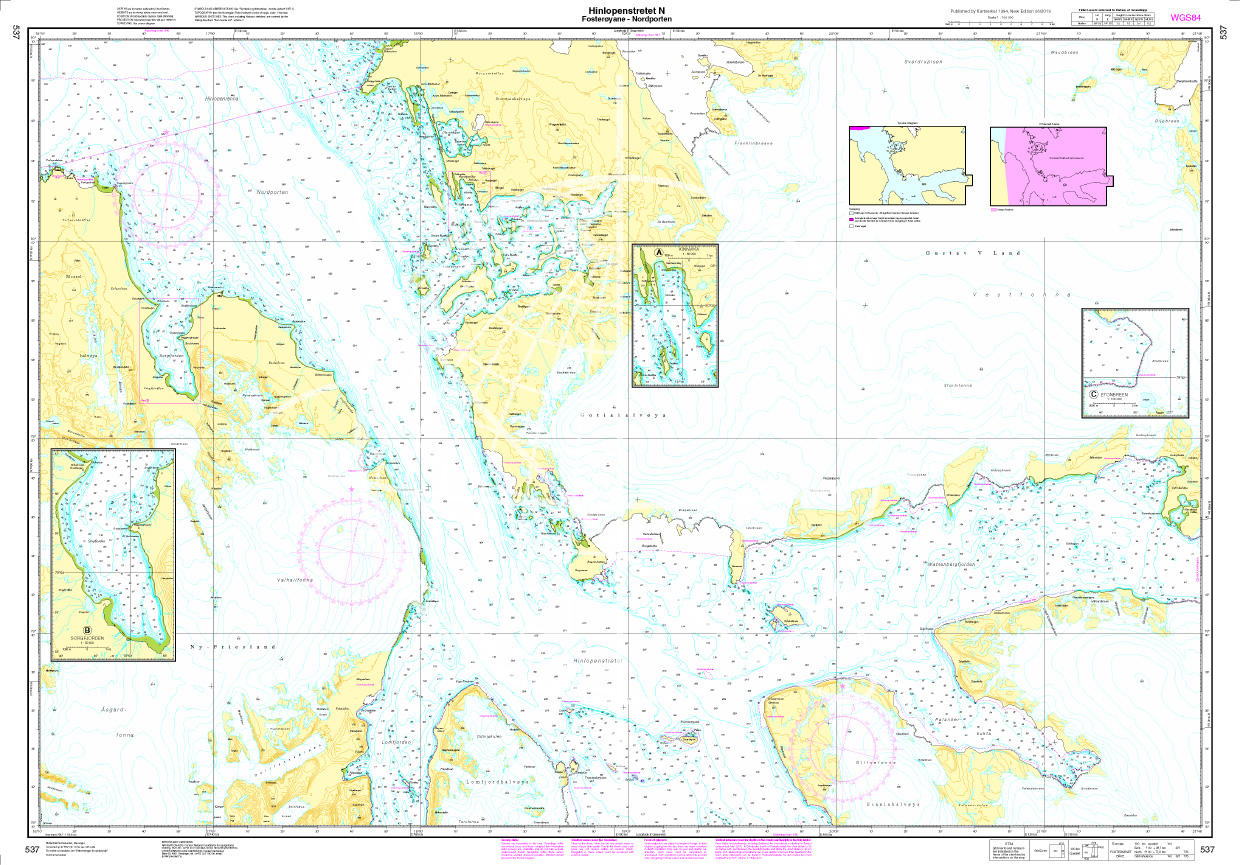
Norwegen N 537 Spitzbergen Hinlopenstretet N., Fosterøyane - Nordporten
Navigation chart N 537 covers the northern waters on Spitsbergen from Hinlopenstretet N. Fosterøyane - Nordporten. The detailed scale is 1:100000.We print the charts on customer request from the curre

€27.70*

Reviews

0 of 0 reviews

Leave a review!

Share your experiences with other customers.