Hafenguide Kroatien - Slowenien - Montenegro

€69.90*


Product number: 22233

Description

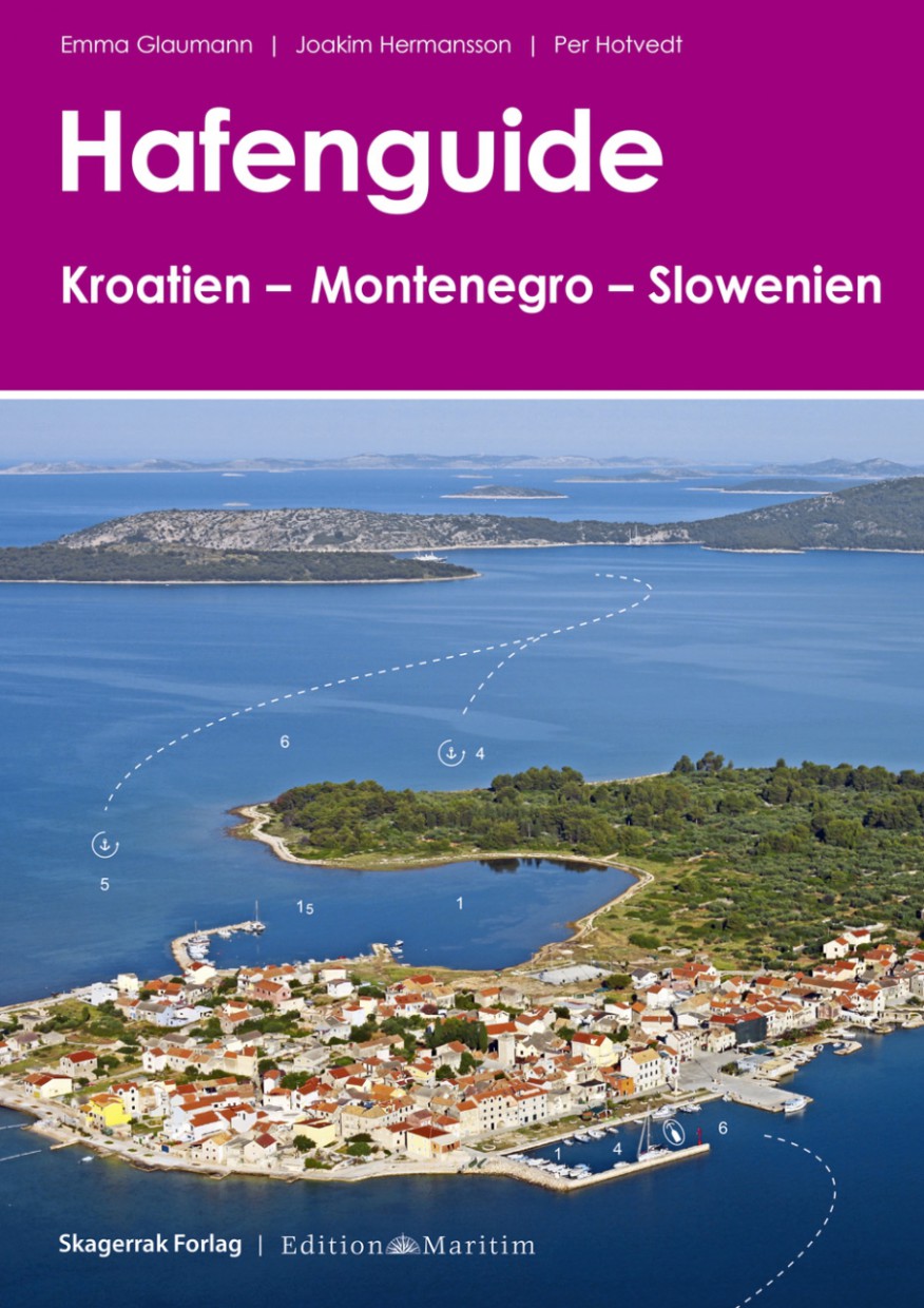
The harbour guide Croatia - Montenegro - Slovenia by Emma Glaumann Joakim Hermansson and Per Hotvedt is described here in a clear and practical way.

Croatia - with its more than 1500 kilometres of coastline and over 1200 islands this dream region on the Adriatic attracts numerous tourists every year who want to explore the charming and varied country on motorboats and sailing yachts. The region has a dense network of modern marinas but lovers of town harbours and small fishing ports will also get their moneys worth.

The harbour guide includes not only the harbours of the Croatian regions of Istria Central Dalmatia and Southern Dalmatia but also information on the neighbouring regions of Slovenia and Montenegro.


What can I expect?

Each port is presented on one page with an aerial photograph a detailed port plan and a compact description of how to get there - so getting there is childs play.
Short information on history and culture as well as tips on local sights and leisure activities help with travel planning and ensure an all-round successful holiday!

The cruising guide for Slovenia Croatia and Montenegro helps with optimal preparation on a charter yacht or on your own keel. We also recommend the chart sets NV Atlas Croatia HR 1 and NV Atlas Croatia HR 2


The contents at a glance:

  • Air photos with approach lines and water depths
  • Coloured harbour plans with berths
  • Utilities and telephone numbers
  • With practical ring binding

This reliable companion should not be missing in any cockpit on Adriatic cruises!


Product info:

Publisher: Edition Maritim
Edition: 1. Edition 2016
Author: Glaumann Hermansson Hotvedt
ISBN: 978-3-667-10432-8
Binding: spiral binding with cover
Pages: 349
Images: 426 colour plans

Region: Europa, Kroatien, Adria
Size: Spiralbindung
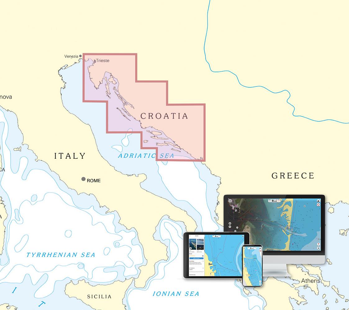
Area preview

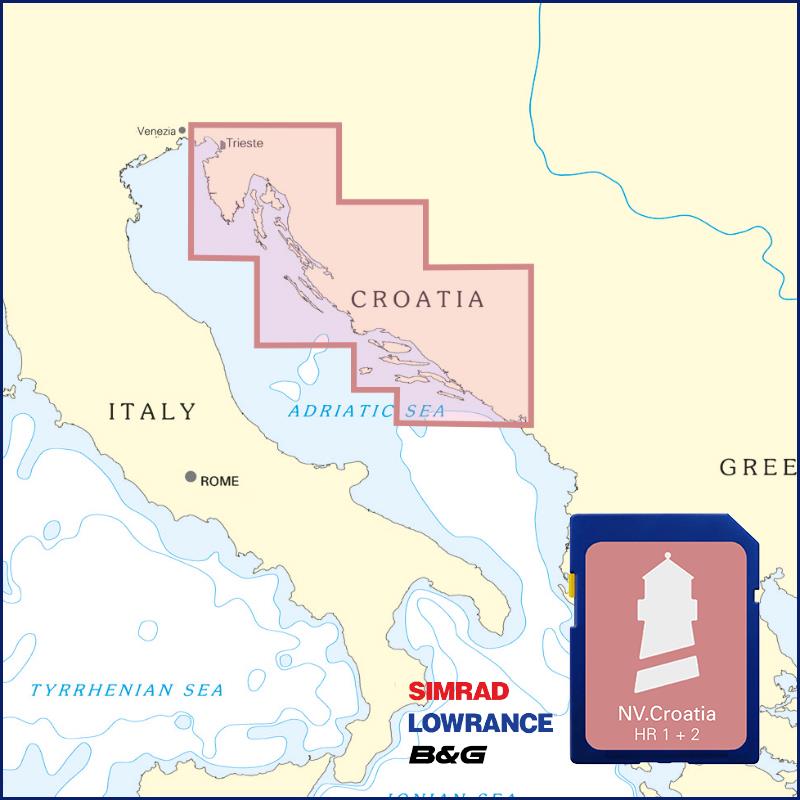
With the help of our area preview, you can get an impression of which geographical region the product deals with or which areas a nautical chart covers.

Related products to this item

Related products to this item

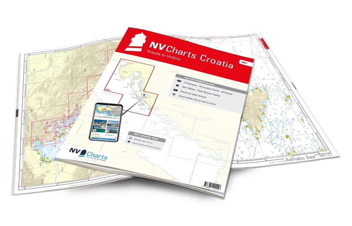
NV Charts Croatia HR 1: Trieste to Vodice
Want to discover the northern Adriatic? Our chart set NV Charts HR1 guides you from Istria to North Dalmatia. With its clear structure, the recreational boater quickly finds access points, harbors, an

€64.99*
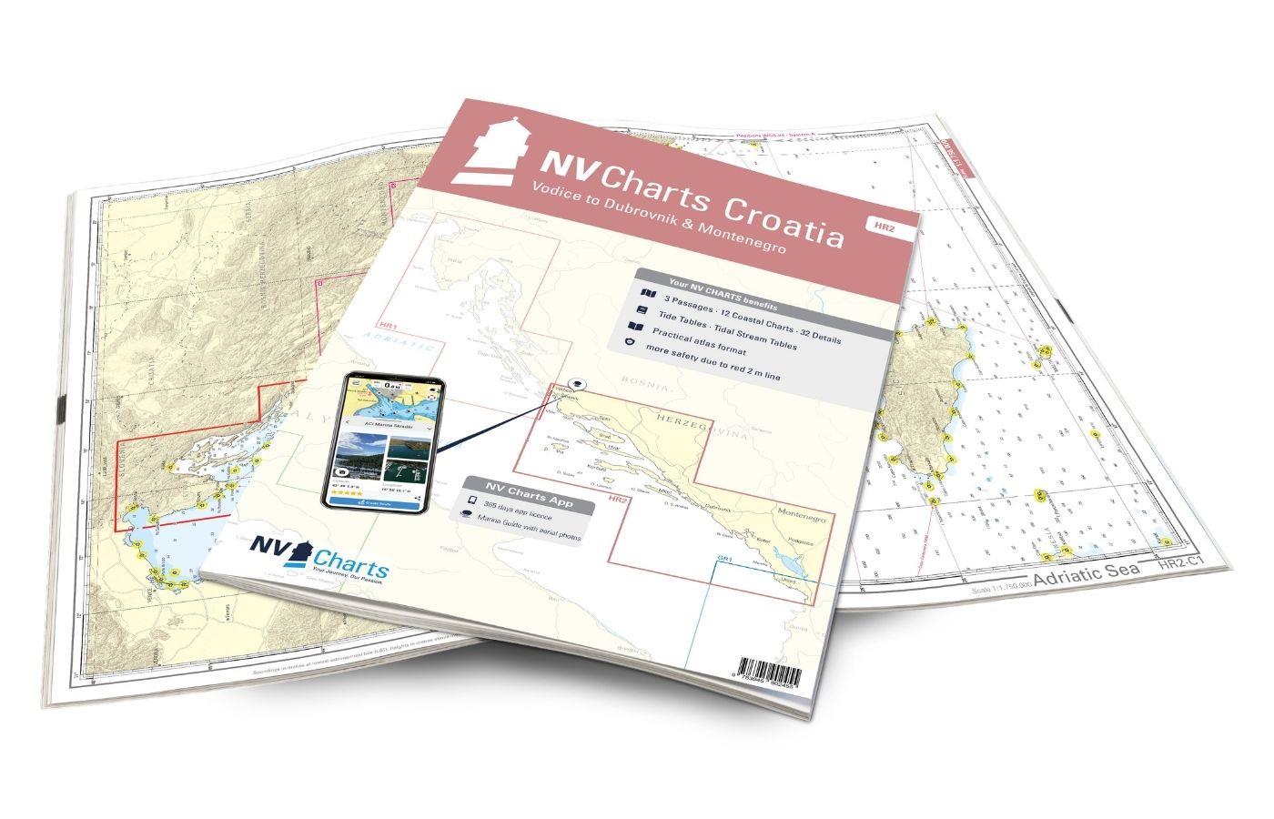
NV Charts Croatia HR 2 Vodice to Dubrovnik & Montenegro
The pack of cards NV Charts HR2 is your reliable companion for Central Dalmatia to Montenegro. Thanks to the clear layout, recreational boaters can quickly find approaches, harbours and anchorages and

€64.99*
-6 %
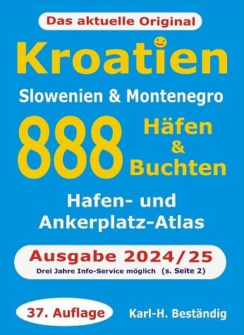
888 Häfen und Buchten Kroatien, Slowenien, Montenegro
The Eastern Adriatic with its many hundreds of islands harbours and bays is one of the most charming waters in the world.888 harbours and bays. Supply weather customs are just some of the main points.

€27.90* €29.90* (6.69% saved)
-5 %
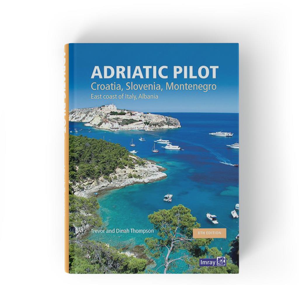
Adriatic Pilot
Adriatic Pilot.Ein Klassiker unter den Revierführer. Seit über dreißig Jahren der einzige und umfassende Revierführer für die Adria mit den Küsten von Albanien Montenegro Kroatien Slowenien und der Os

€54.90* €57.80* (5.02% saved)
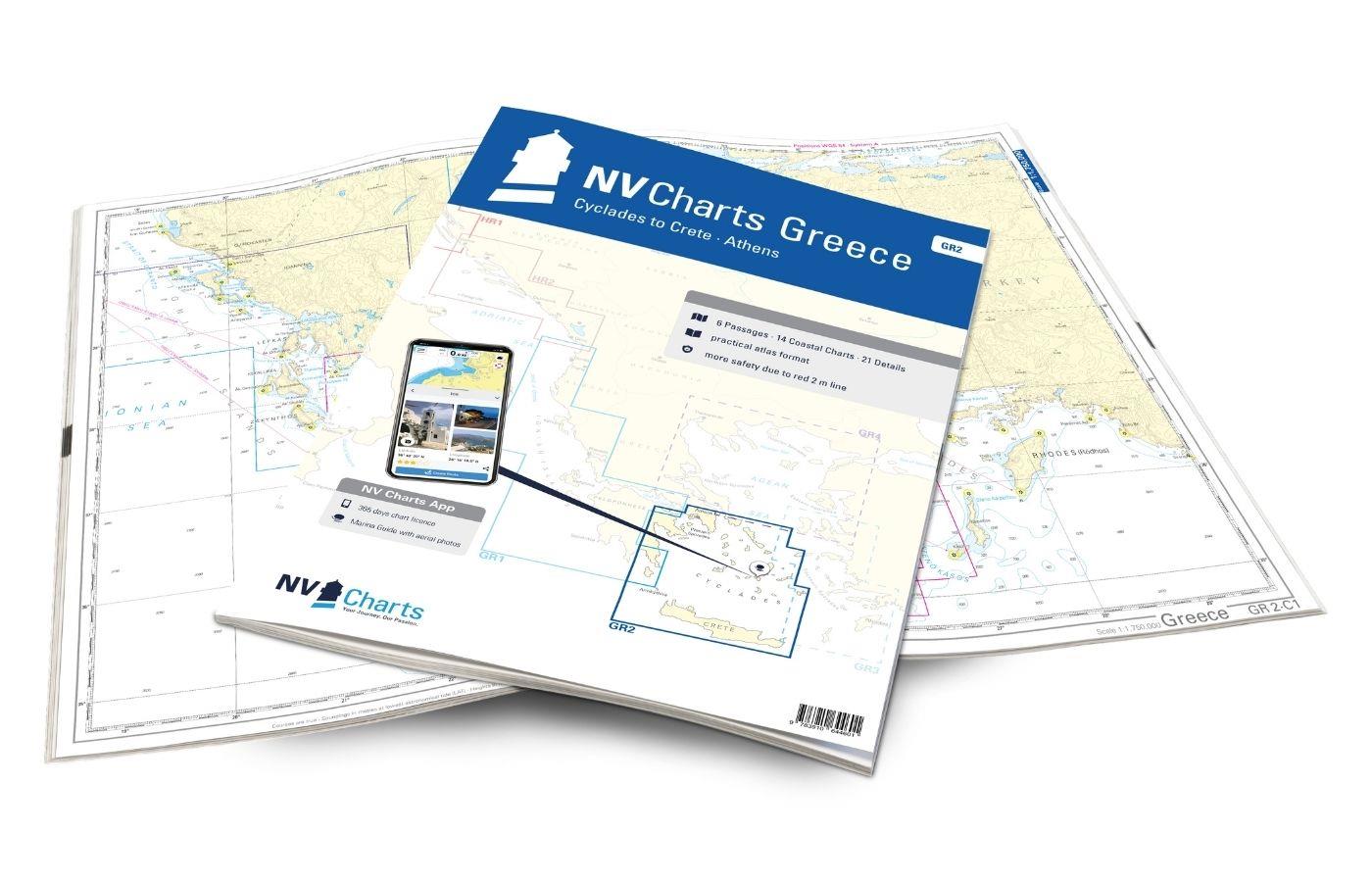
NV Charts Greece GR2 - Cyclades to Crete & Athens
Our pack of charts GR2 takes you from the Cyclades in the Ägäische Sea to Crete. Thanks to the clear layout, the recreational skipper can quickly find approaches, harbours and anchorages and is i

€74.99*
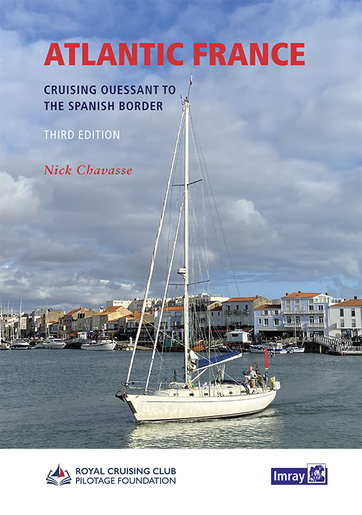
Atlantic France
For those water sports enthusiasts who would like to explore the French Atlantic coast this cruising guide is an extremely helpful travel companion. It covers the coast from lAberwrach at the north-we

€63.50*
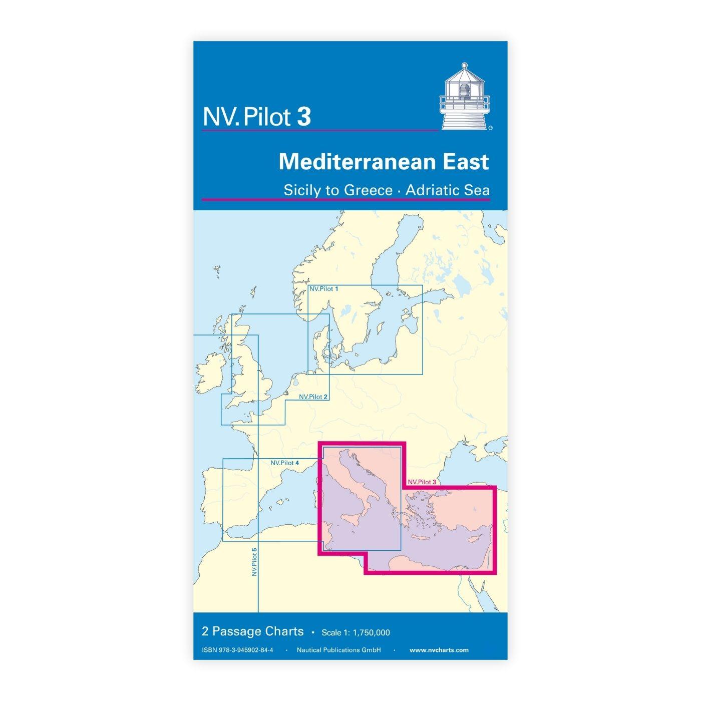
NV Charts Pilot 3 Mediterranean East, Sicily to Greece Adriatic Sea
The Pilot 3 is suitable as a planning chart for cruises in the eastern part of the Mediterranean. The coasts of Croatia and Greece are completely covered. In addition, the east coast of Italy is compl

€24.99*

Products near this article

Products near this article

NV Kroatien Plotterseekarten
Maps & Port plans of the HR 1 and HR seriesThe plotter chip Croatia contains the digital nautical charts of the popular NV Charts chart sets for the Adriatic Sea. The area in the Me

€99.99*
NV Charts Croatia HR 2 Vodice to Dubrovnik & Montenegro
The pack of cards NV Charts HR2 is your reliable companion for Central Dalmatia to Montenegro. Thanks to the clear layout, recreational boaters can quickly find approaches, harbours and anchorages and

€64.99*
-6 %
888 Häfen und Buchten Kroatien, Slowenien, Montenegro
The Eastern Adriatic with its many hundreds of islands harbours and bays is one of the most charming waters in the world.888 harbours and bays. Supply weather customs are just some of the main points.

€27.90* €29.90* (6.69% saved)
NV Charts App - Croatia
NV Charts App - Croatia[nvtext_abo_app_iap]This product can only be used in the NV Charts app, it is not compatible with other navigation programs.

€49.90*
-5 %
Adriatic Pilot
Adriatic Pilot.Ein Klassiker unter den Revierführer. Seit über dreißig Jahren der einzige und umfassende Revierführer für die Adria mit den Küsten von Albanien Montenegro Kroatien Slowenien und der Os

€54.90* €57.80* (5.02% saved)

Reviews

0 of 0 reviews

Leave a review!

Share your experiences with other customers.