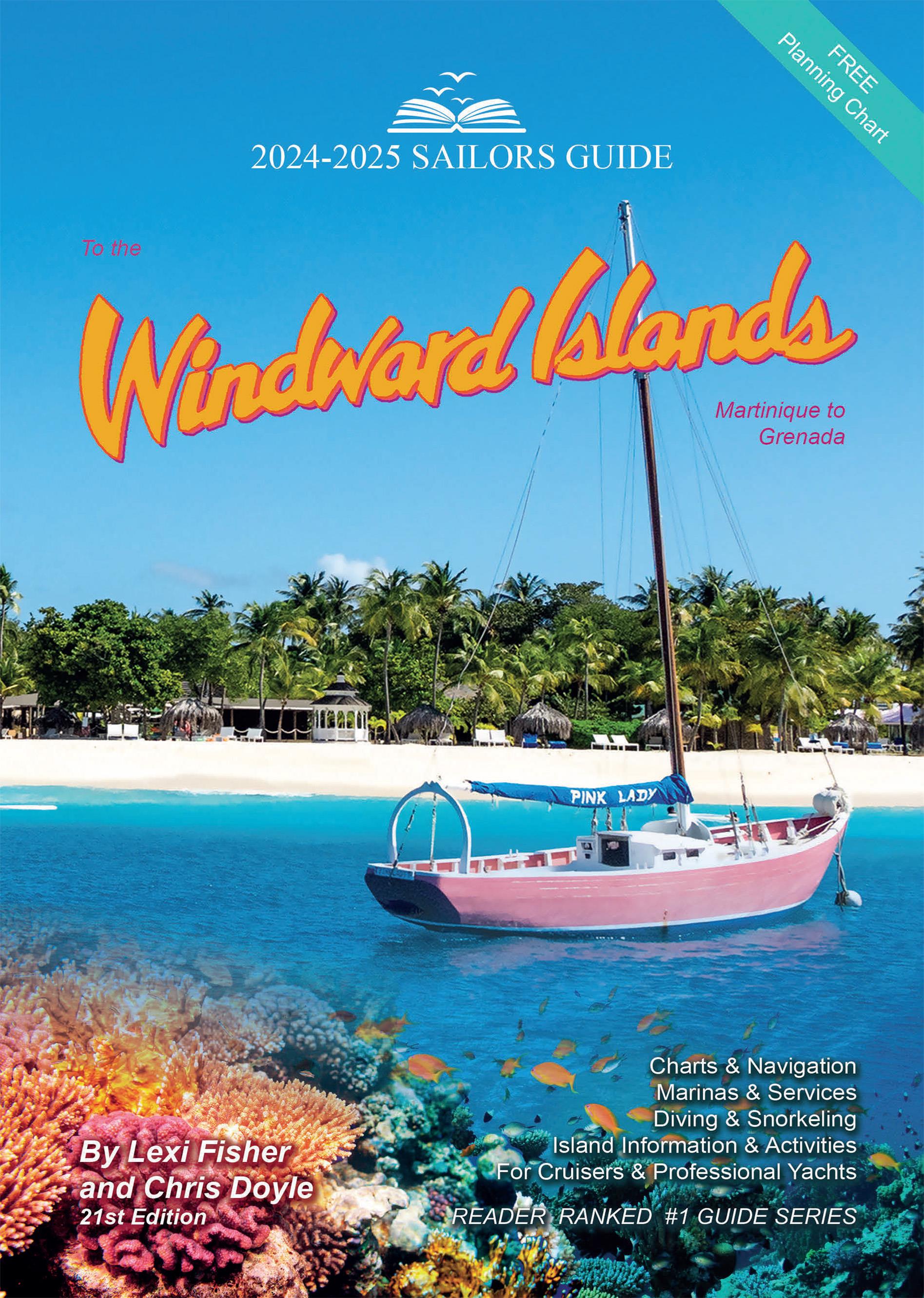
The Sailors Guide to the Windward Islands

€45.95*


Product number: 22351

Description

Martinique to Grenada - Includes travel information & island stories maps & island navigation yacht & mega yacht service shore activities diving & snorkelling.

These guides are an indispensable companion for all sailors cruising this region. The authors spend months cruising these islands to update each edition. Included are over one hundred up-to-date colour sketch maps full colour aerial photos of most anchorages island pictures and detailed shore information on services restaurants food travel documents and island history. The information is linked to the authors website where you can download GPS waypoints given in the sketch charts find out important updates print town maps and get links to local weather news and shops.


Language: Englisch
Region: Caribbean
Size: Spiralbindung
Area preview

With the help of our area preview, you can get an impression of which geographical region the product deals with or which areas a nautical chart covers.

Related products to this item

Related products to this item

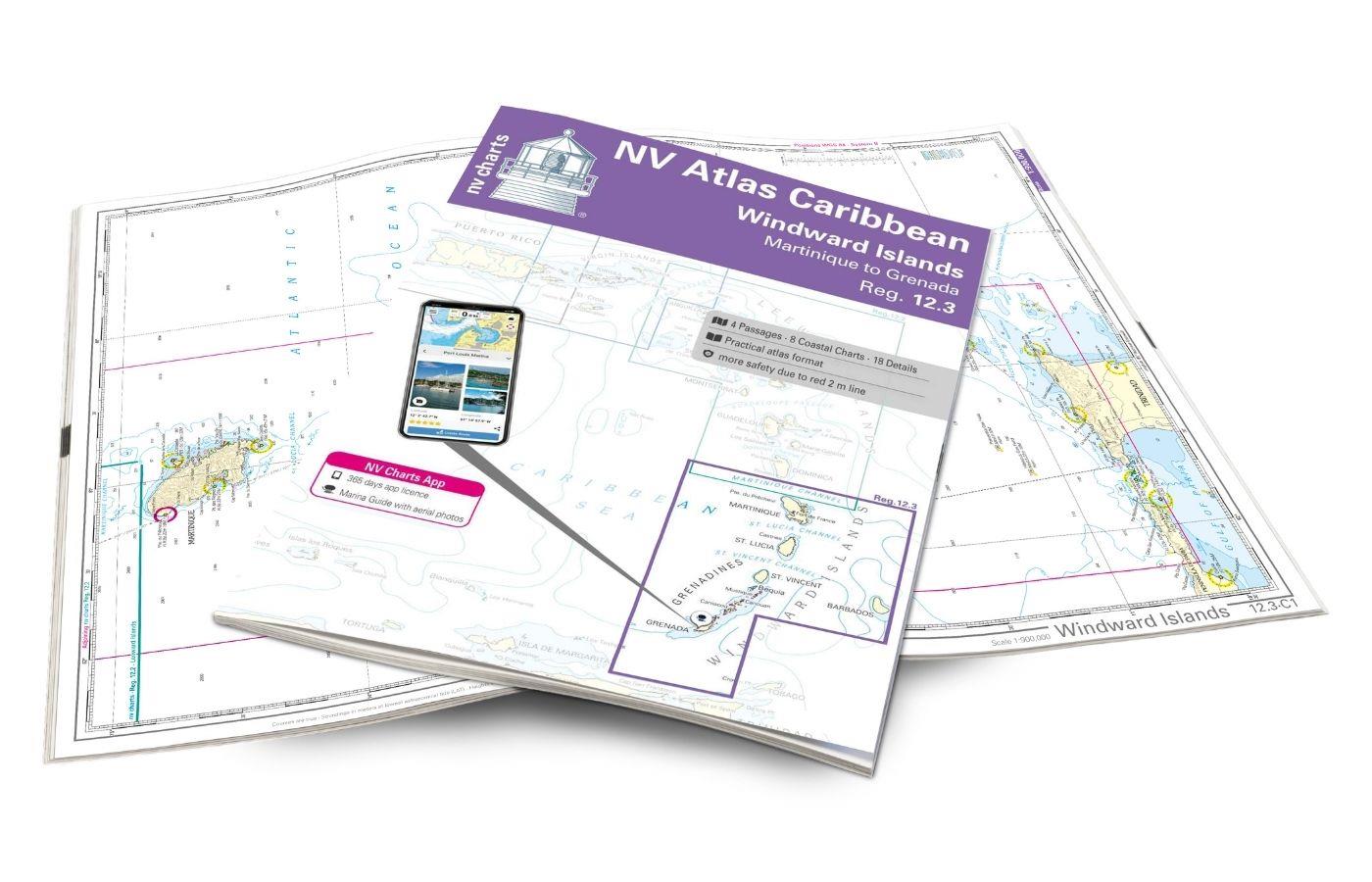
NV Charts Caribbean 12.3 - Windward Islands
With the NV Charts Atlas Caribbean 12.3 you have the perfect companion for the Windward Islands from Martinique to Grenada at your side. Thanks to the clear layout, you can find approaches,

€94.99*
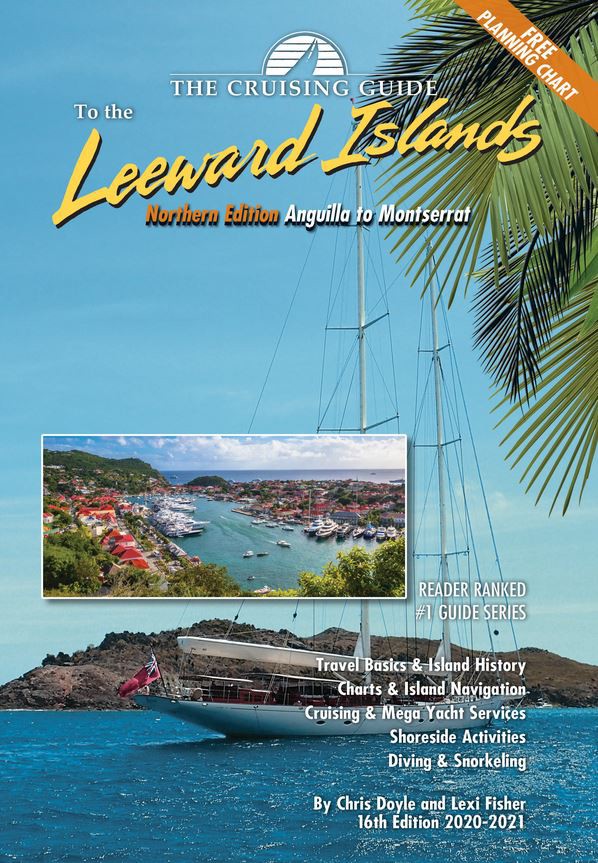
Cruising Guide to the Northern Leeward Islands
Anguilla to Montserrat - Includes travel information & island stories maps & island navigation yacht & mega yacht service shore activities diving & snorkelling.This 16th edition (

€36.80*
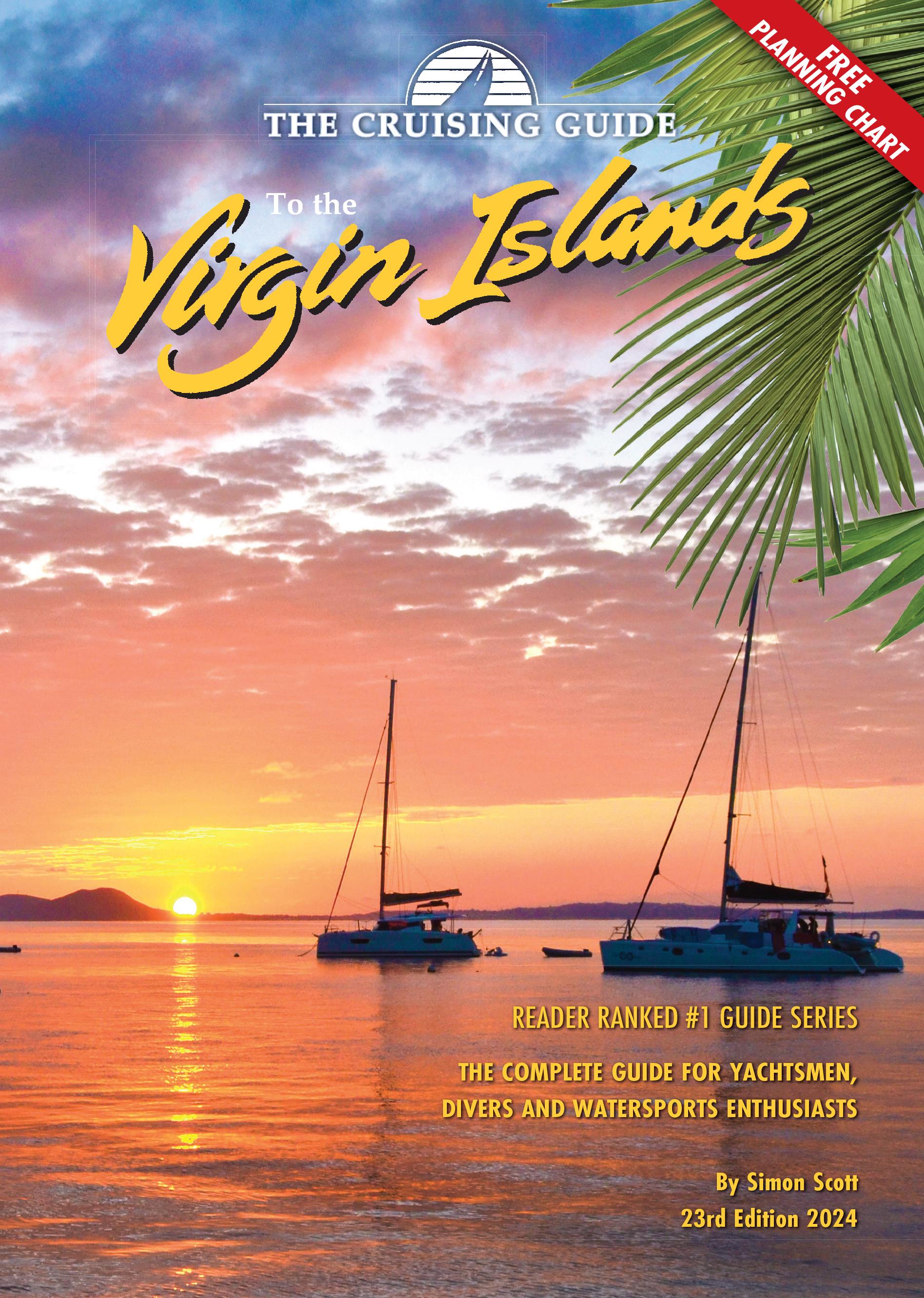
Cruising Guide to the Virgin Islands
The Cruising Guide to the Virgin Islands   This Cruising Guide covers the Virgin Islands including all US and British Virgin Islands.This edition is packed with the latest information o

€45.95*
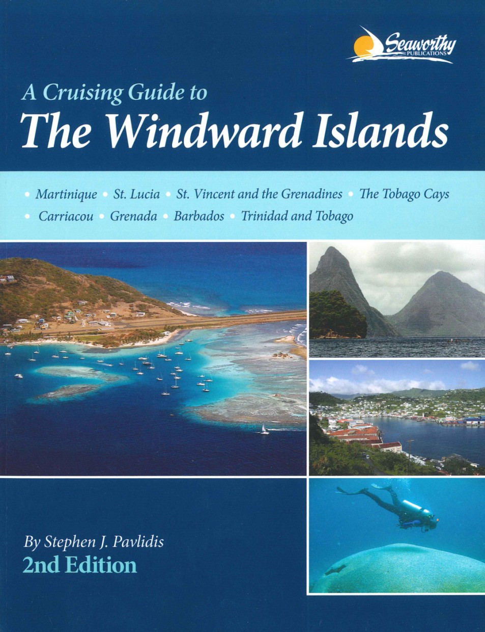
Cruising Guide to The Windward Islands
This is the completely updated version of Steve Pavlidis comprehensive Windward Islands guide that covers the stretch of islands from Martinique to Trinidad and Tobago. Now in full-color with many new

€75.80*
-5 %
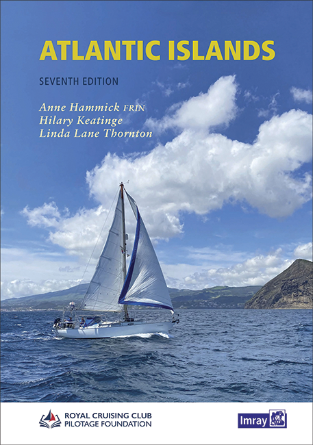
Atlantic Islands
In the middle of the Atlantic lie many charming island groups. This cruising guide takes up these and covers the Azores Canaries Madeira Cape Verde Islands and Bermuda. It is also divided into these f

€58.00* €61.20* (5.23% saved)
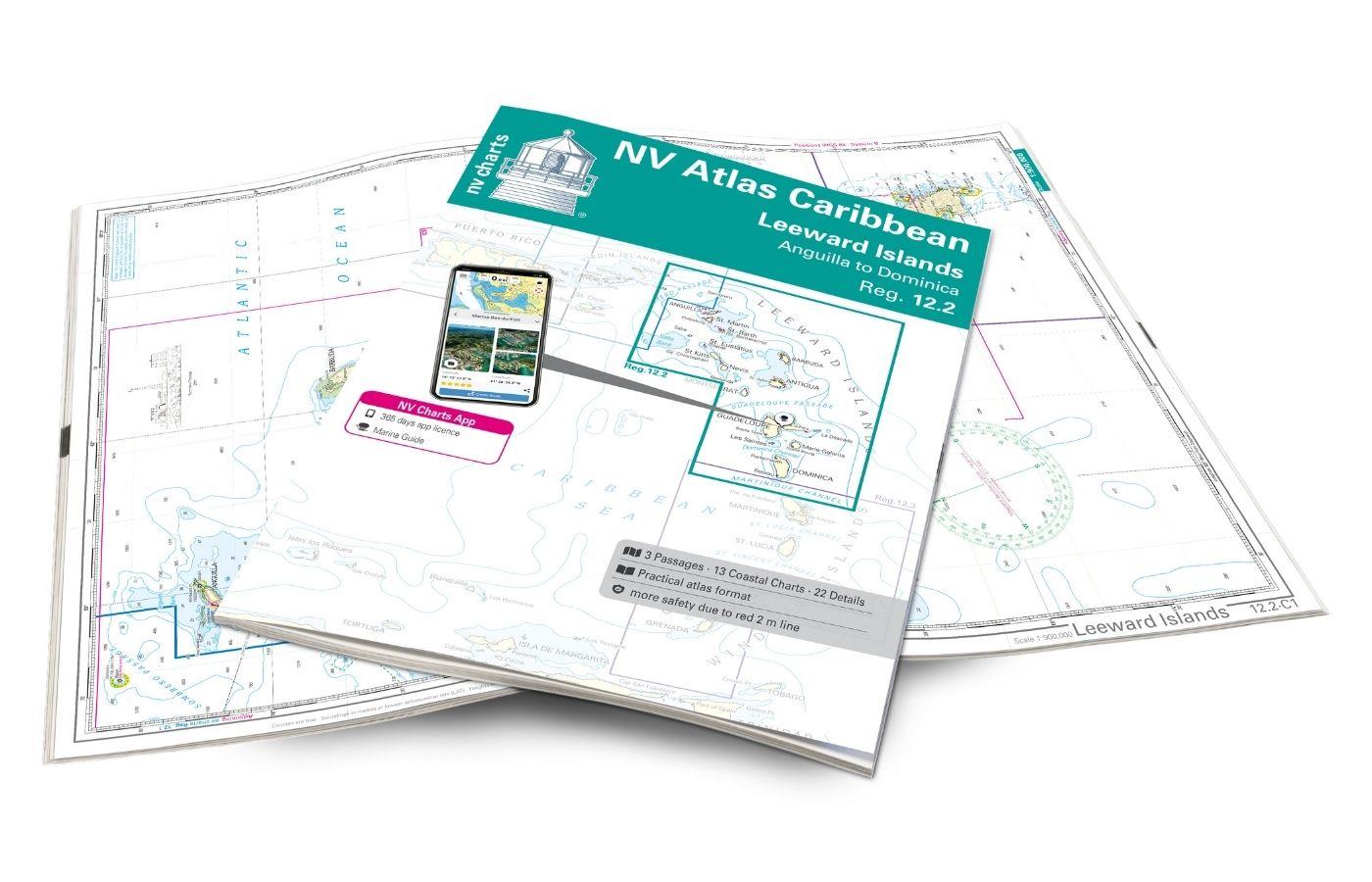
NV Charts Caribbean 12.2 - Leeward Islands
With the NV Charts Caribbean 12.2 Atlas  you have the perfect companion for the Leeward Islands from Anguilla to Dominica at your side. Thanks to the clear layout, you can find approaches, h

€94.99*
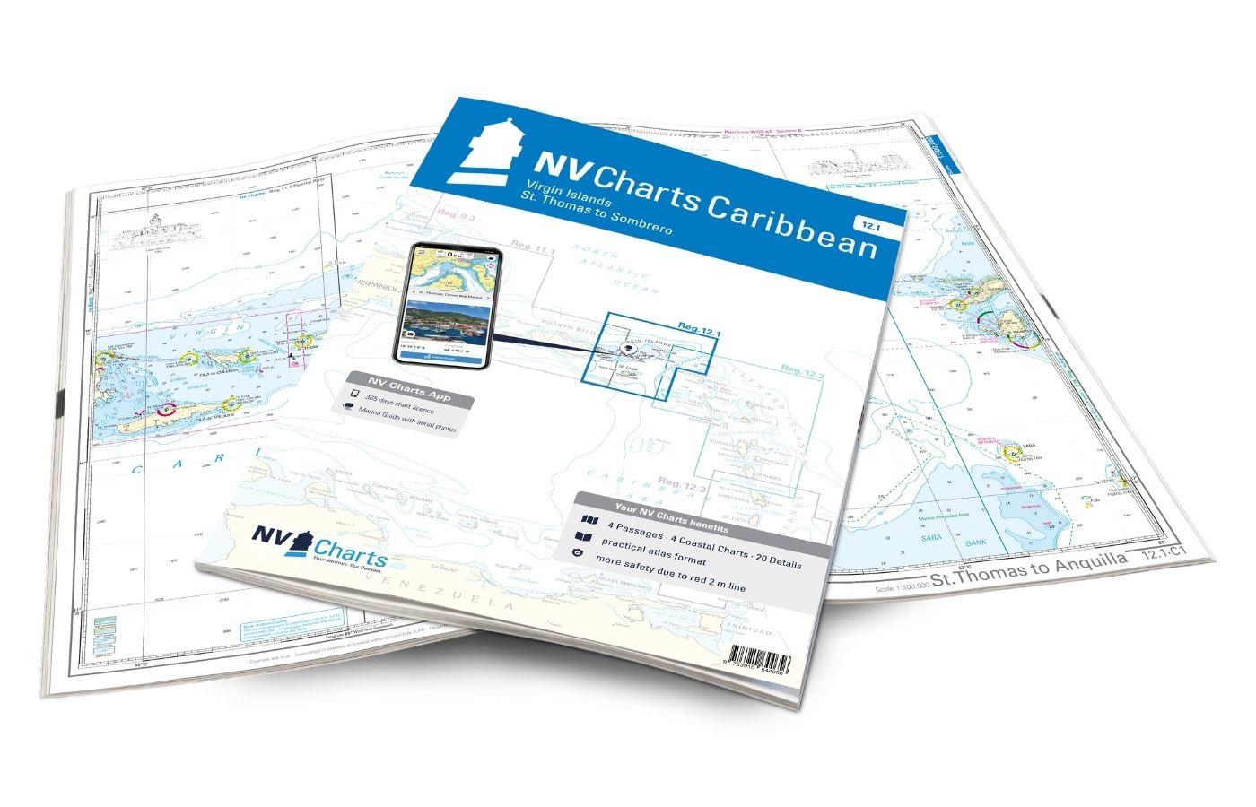
NV Charts Caribbean 12.1 - Virgin Islands
With the NV Charts Caribbean 12.1 you have the perfect companion for the Virgin Islands from St Thomas to Sombrero at your side. Thanks to the clear layout, you can find approaches, harbours and

€94.99*

Products near this article

Products near this article

NV Charts Caribbean 12.3 - Windward Islands
With the NV Charts Atlas Caribbean 12.3 you have the perfect companion for the Windward Islands from Martinique to Grenada at your side. Thanks to the clear layout, you can find approaches,

€94.99*
Cruising Guide to The Windward Islands
This is the completely updated version of Steve Pavlidis comprehensive Windward Islands guide that covers the stretch of islands from Martinique to Trinidad and Tobago. Now in full-color with many new

€75.80*
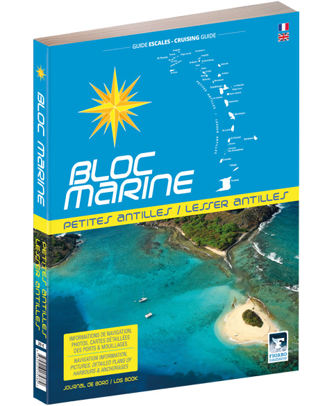
Bloc Marine: Petites Antilles
For accurate information on port areas safety at sea and recreational boating regulations the Bloc Marine Petites Antilles is a first-class travel companion. It contains numerous port plans and al

€39.00*

Reviews

0 of 0 reviews

Leave a review!

Share your experiences with other customers.