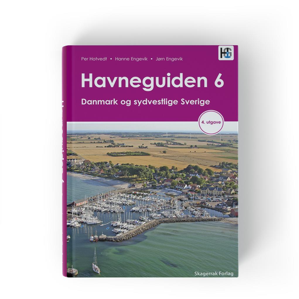
Havneguiden 6 Danmark og sydvestlige Sverige

€74.90*


Product number: 22356

Description

Our most popular harbour guide covers all of Denmark except Bornholm and the west coast of Sweden from Skanör to Gothenburg.
Bornholm and Sweden's south and east coasts are covered by Hamnguiden 7.

In this 4th edition of the Harbour Guide Denmark and Southwest Sweden, various information has been updated for almost every port.
In addition, as with all of this publisher's harbour guides, anchor symbols, depth information and approaches are marked on the aerial photographs.
Understandable pictograms enable you to make quick decisions when planning.

Product info:
Denmark coasts in Danish and Swedish west coast in Swedish.
A full-colour harbour guide with sketch maps (1:15,000) for approach,
aerial photographs and descriptions of 415 harbours and anchorages.
Pages: 334
Binding: practical spiral binding,
Format: A4

Edition: 2017 (3rd edition).

Author: Per Hotvedt
Format: Spiralbindung
Language: Schwedisch
Region: Dänemark, Ostsee, Schweden
Size: Spiralbindung , Buch
Area preview

With the help of our area preview, you can get an impression of which geographical region the product deals with or which areas a nautical chart covers.

Related products to this item

Related products to this item

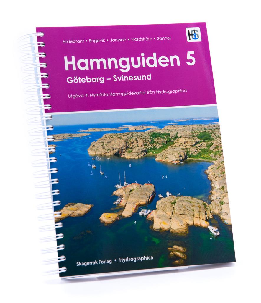
Hamnguiden 5 Göteborg - Svinesund
The harbour guide Gothenburg - Svinesund takes you directly to the beautiful archipelago landscape of Sweden's west coast from Gothenburg to just before the Oslo Fjord.This sailing guide contains a nu

€74.90*
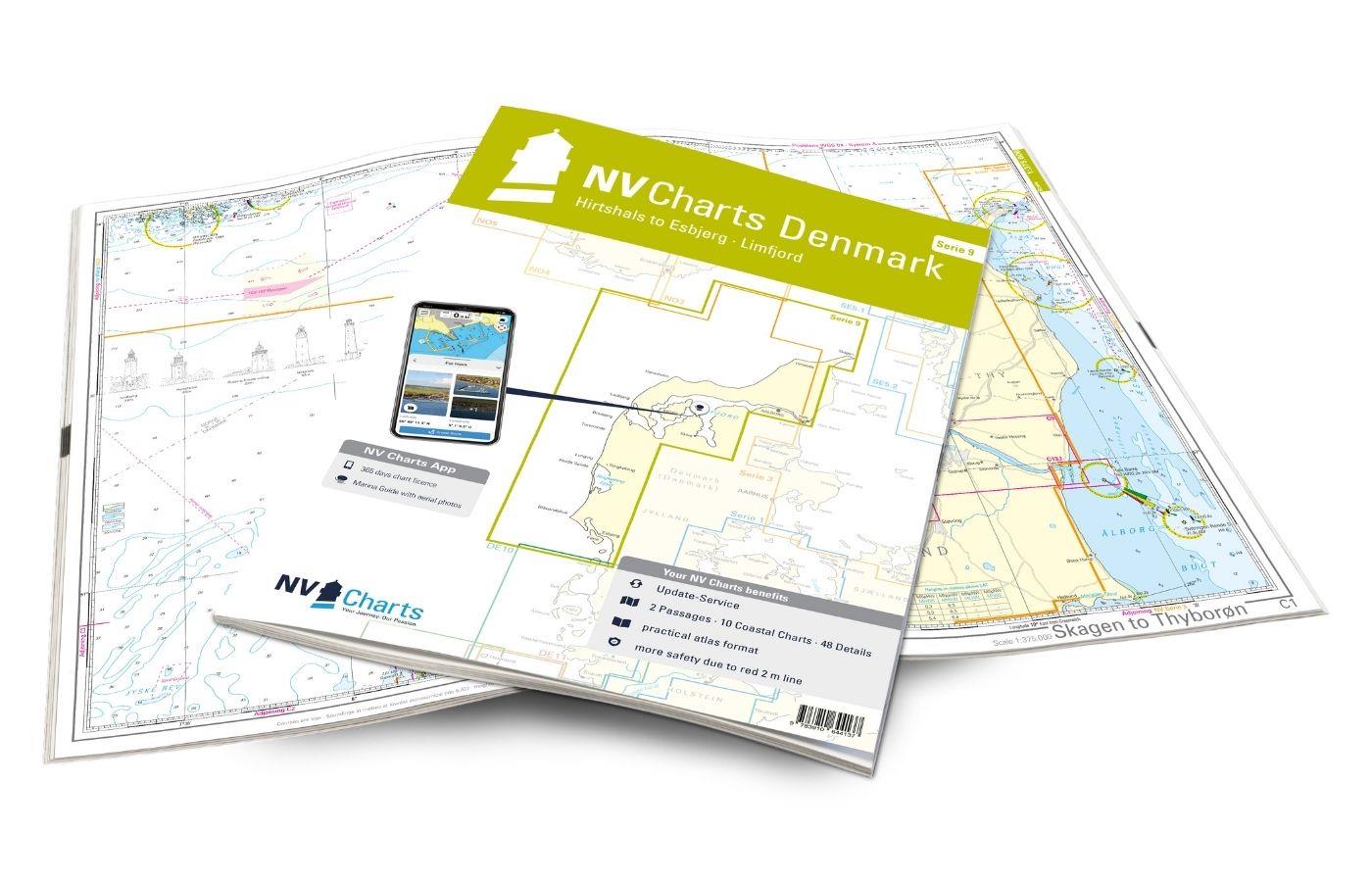
NV Charts Denmark Serie 9 - Hirtshals to Esbjerg & Limfjord
The Danish west coast and the Limfjord are among the most popular holiday regions in the Scandinavian country. The coast is known for its endless, fine sandy beaches. The Limfjord is an elongated soun

€64.99*
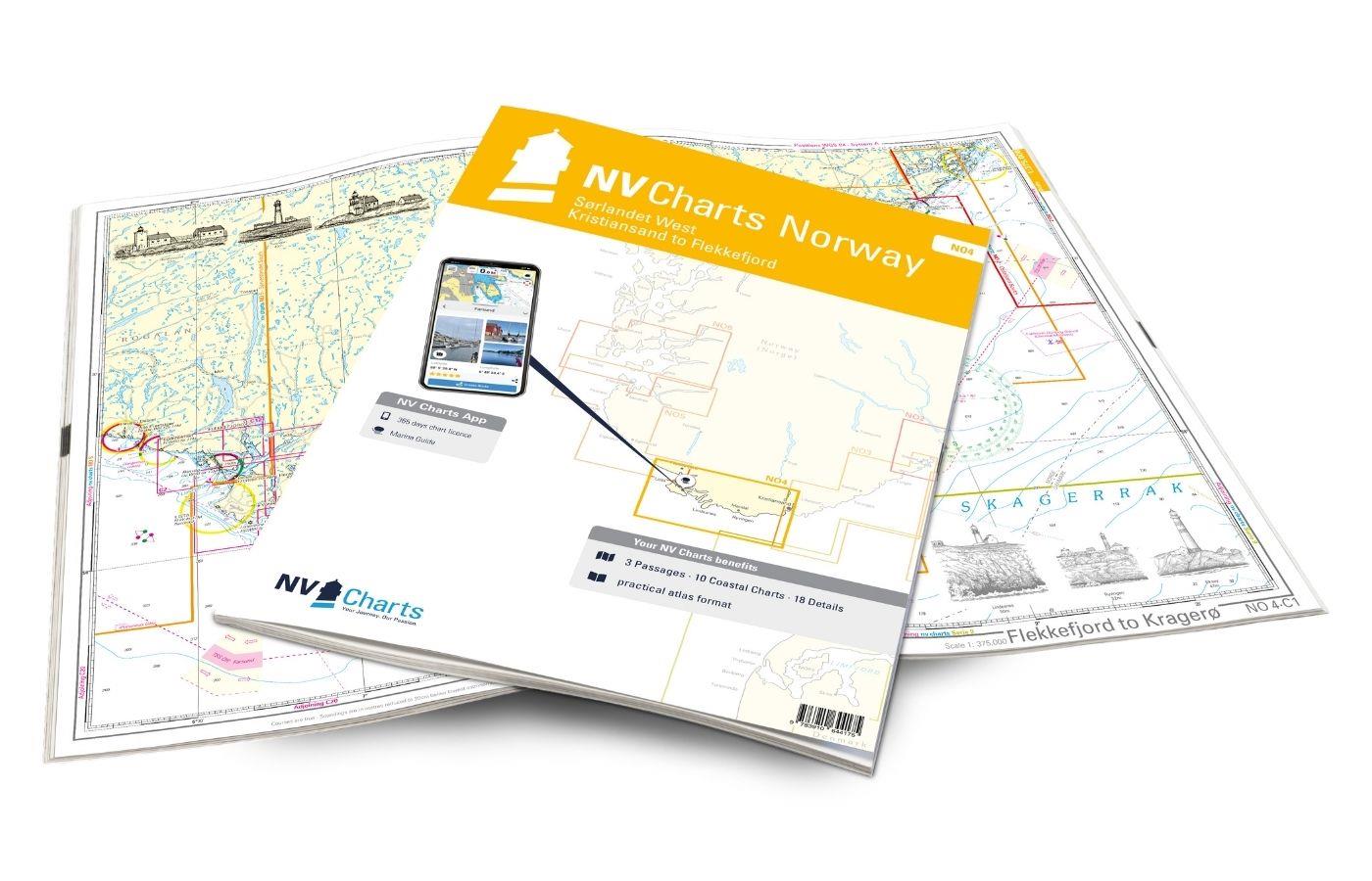
NV Charts Norway NO4 - Sørlandet Vest - Flekkefjord til Kristiansand
If you want to travel from North Jutland directly to the south-west coast of Norway, you should take the NV Charts Norway NO4 on board. The NV Charts for the Norwegian coast are based o

€74.99*
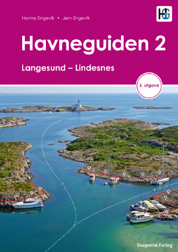
Havneguiden 2 Landesund - Lindesnes
The sophisticated south-east coast of the Oslofjord is much easier to conquer when Havneguide 2 is allowed to accompany you.This Norwegian-produced harbour guide introduces you to 293 harbours, anchor

€74.90*
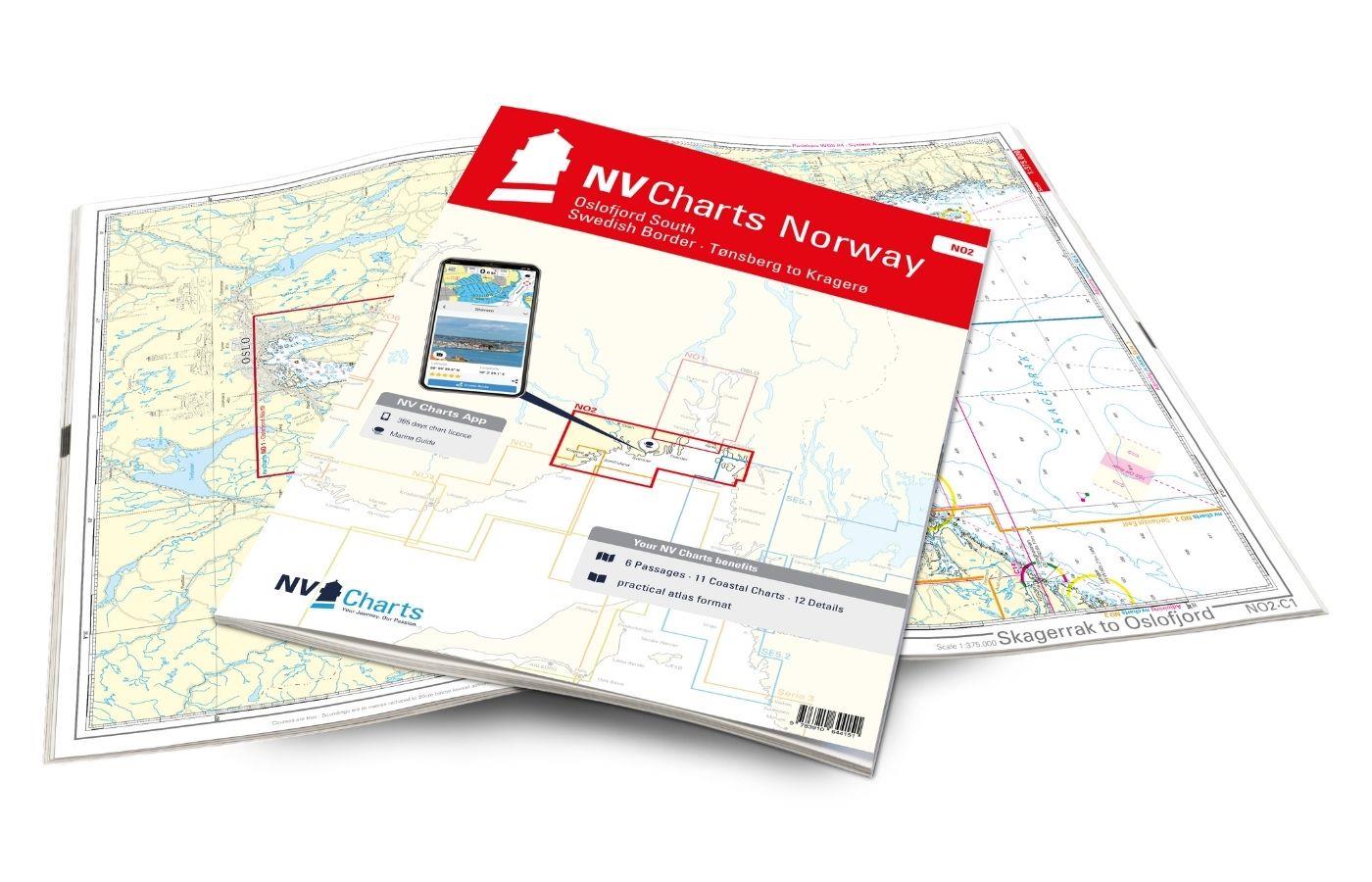
NV Charts Norway NO2 - Oslofjord Sør, Svenska Grensen til Kragerø
The NV Charts Atlas NO2 covers the southern Oslofjord. NV Charts for the Norwegian coast are based on data from the Norwegian Hydrographic Office and also include the harbour plans of the "Norske Los"

€74.99*
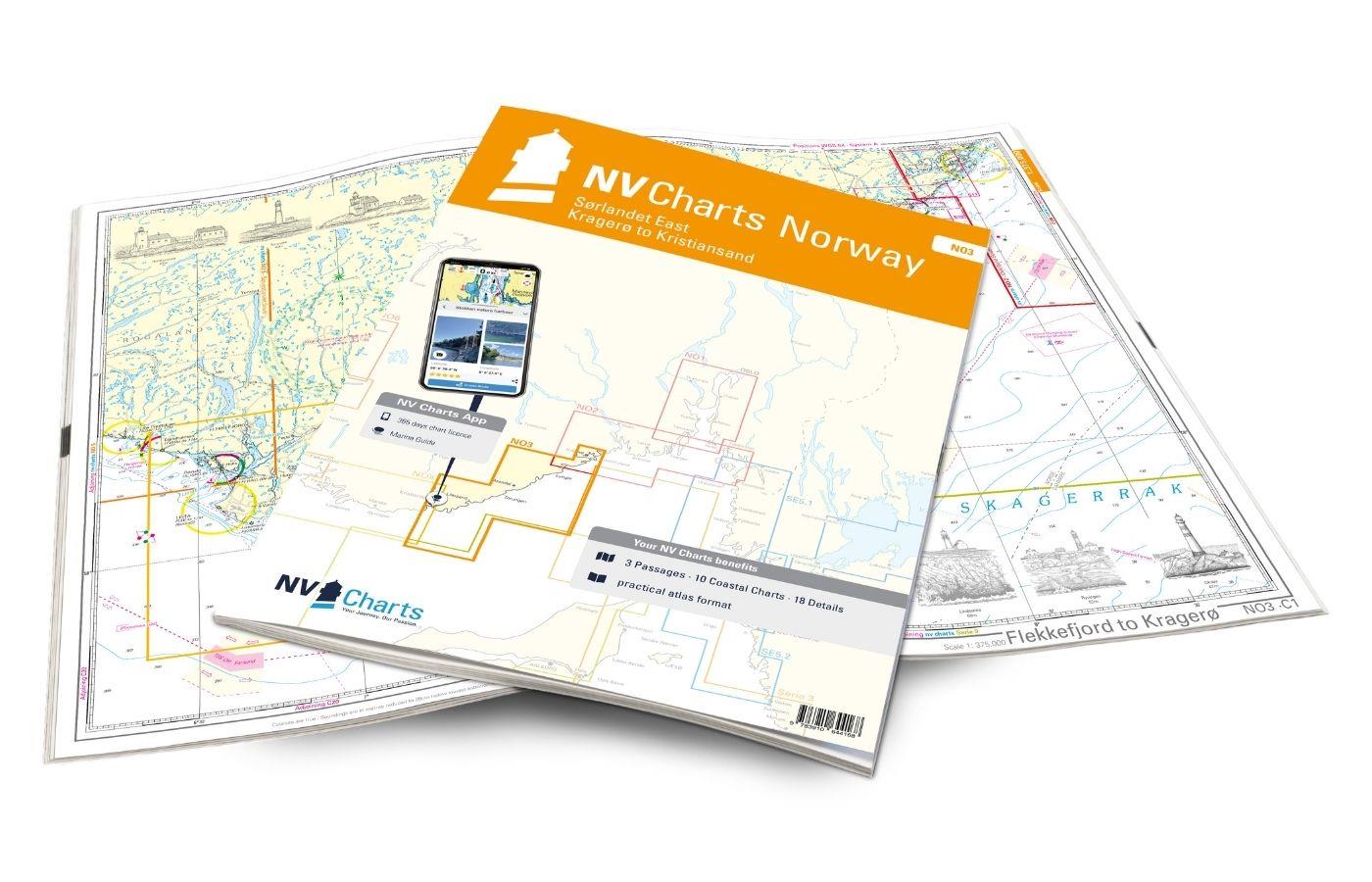
NV Charts Norway NO3 - Sørlandet East - Kragerø to Kristiansand
The NV Charts Norway Atlas NO3 covers the southern coast of Norway up to Kristiansand. NV charts for the Norwegian coast are based on data from the Norwegian Hydrographic Office and also include the h

€74.99*
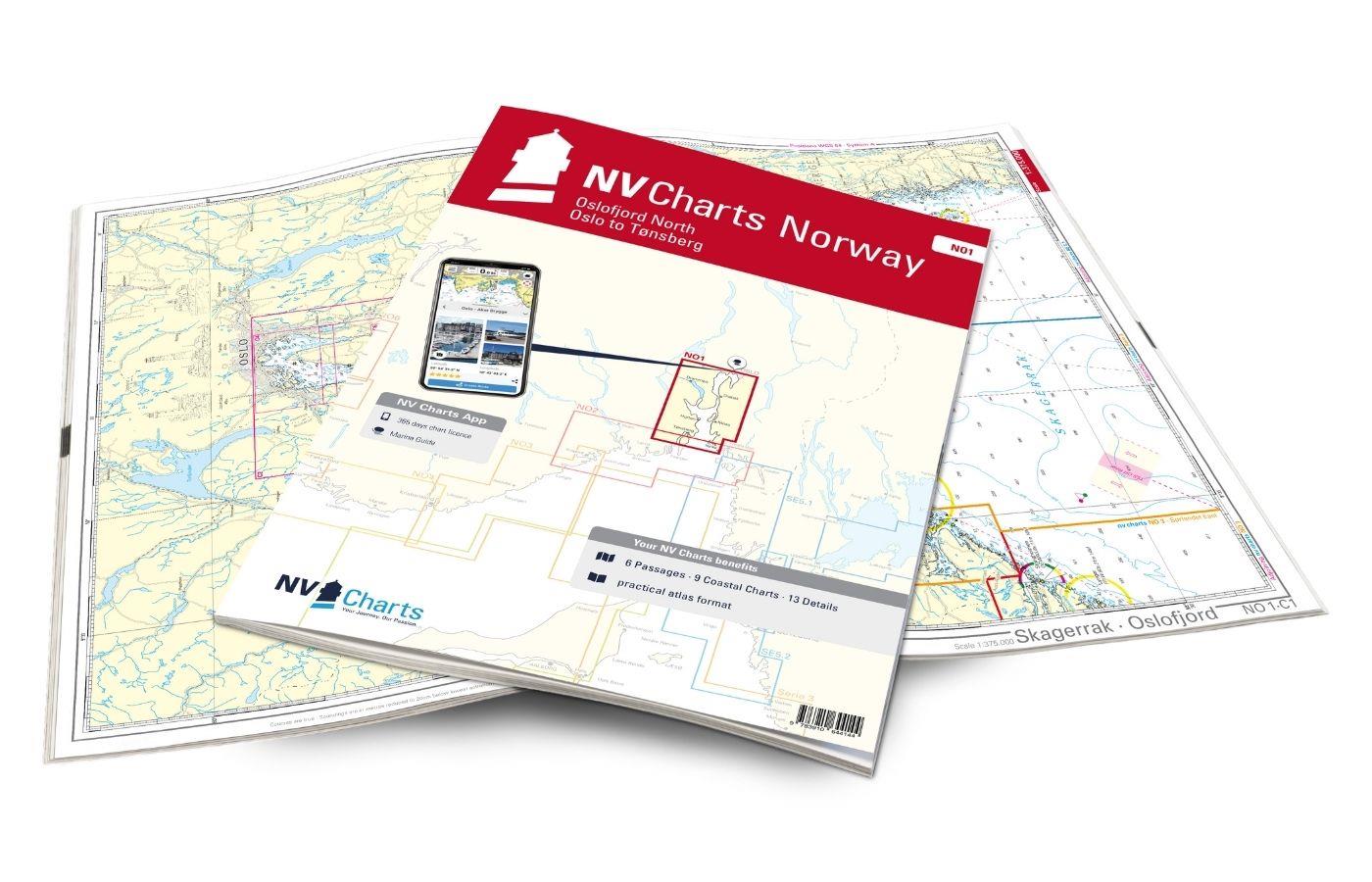
NV Charts Norway NO1 - Oslofjord Nord, Oslo to Tønsberg
The NV Charts Norway Atlas NO1 covers the region around Oslo. NV Charts charts for the Norwegian coast are based on data from the Norwegian Hydrographic Office and also include the harbour plans of th

€74.99*

Reviews

0 of 0 reviews

Leave a review!

Share your experiences with other customers.