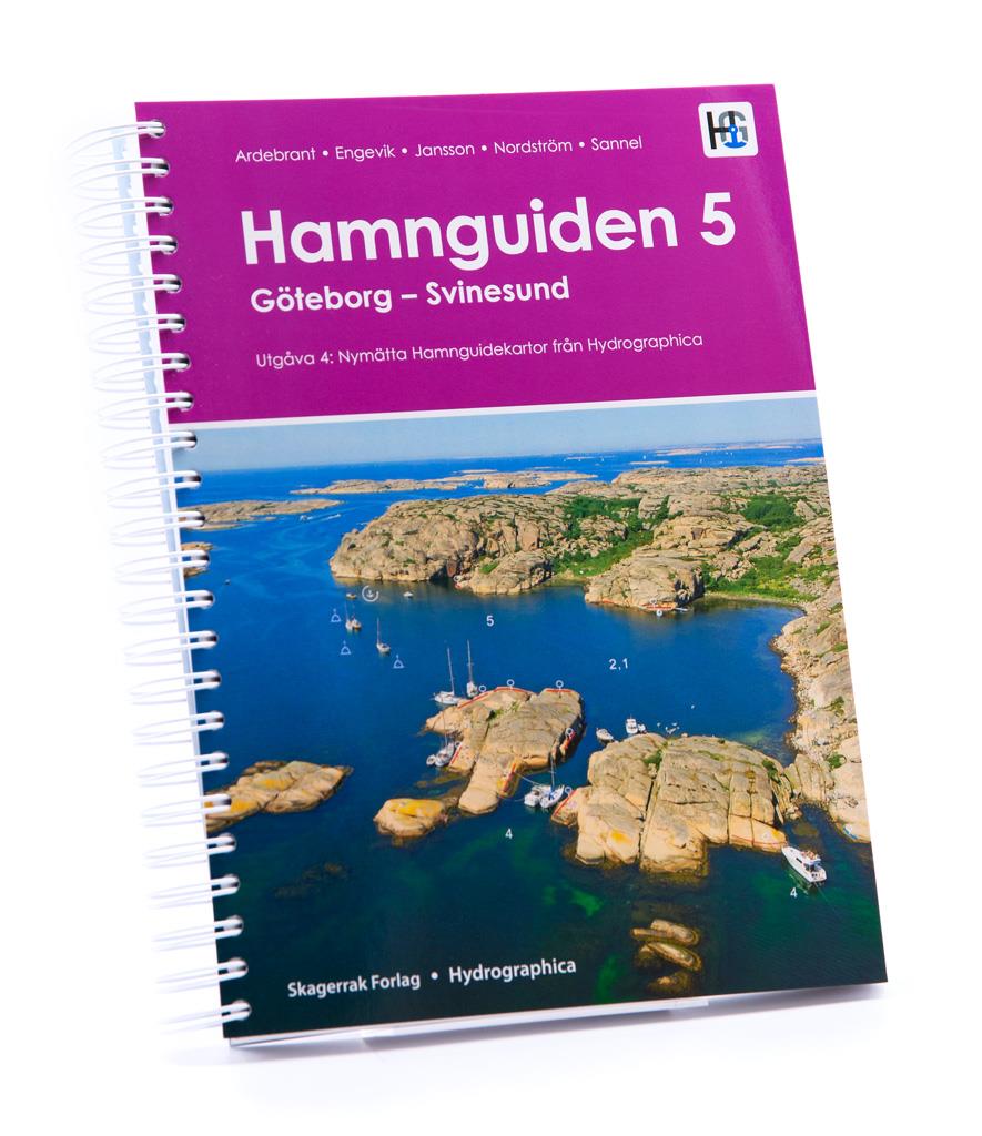
Hamnguiden 5 Göteborg - Svinesund

€74.90*


Product number: 22357

Description

The harbour guide Gothenburg - Svinesund takes you directly to the beautiful archipelago landscape of Sweden's west coast from Gothenburg to just before the Oslo Fjord.

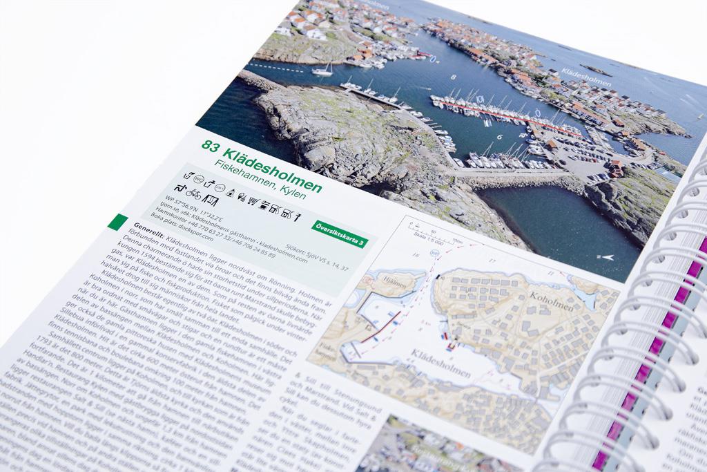
This sailing guide contains a number of fantastic harbours as well as route suggestions that deviate from the usual ones. Designed by water sports enthusiasts for water sports enthusiasts, photographed and brought into shape. This book is a must-have. All harbours are presented by means of large-scale map sketches and well-resolved, annotated aerial photographs. 270 harbours, anchorages and natural harbours are presented.
In addition to nautical information such as approach (with waypoint), anchoring and supply possibilities, the texts also contain a general section with information on the respective location.
Where available, website and telephone number are also given.

Product Info:

  • 270 harbours and anchorages
  • in Swedish language
  • 287 pages
  • Spiral binding,
  • Edition 2021

Our recommendation:
As a set of nautical charts you should definitely have the SE5.2 and SE5.1 from NV Charts in your luggage. Please do not forget the guest country flag!

Empfehlung: Revierempfehlung Schweden
Format: Spiralbindung
Language: Schwedisch
Area preview

With the help of our area preview, you can get an impression of which geographical region the product deals with or which areas a nautical chart covers.

Related products to this item

Related products to this item

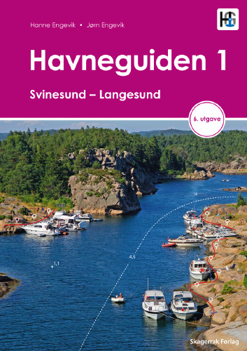
Havneguiden 1 Svinesund - Langesund
Boaters planning to sail the Oslo Fjord should definitely have the Havneguiden1 (Svinesund to Langesund) on board as a cruising guide.This is a Norwegian-made guide to ports, with unique aerial photos

€74.90*
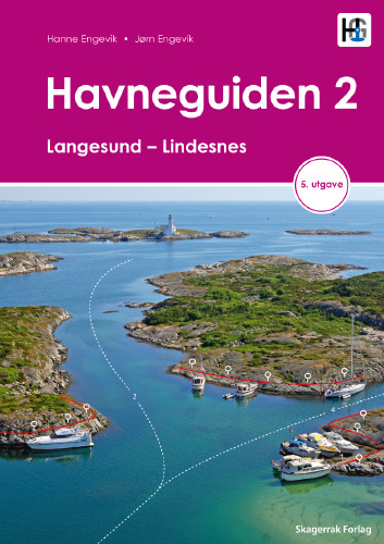
Havneguiden 2 Landesund - Lindesnes
The sophisticated south-east coast of the Oslofjord is much easier to conquer when Havneguide 2 is allowed to accompany you.This Norwegian-produced harbour guide introduces you to 293 harbours, anchor

€74.90*
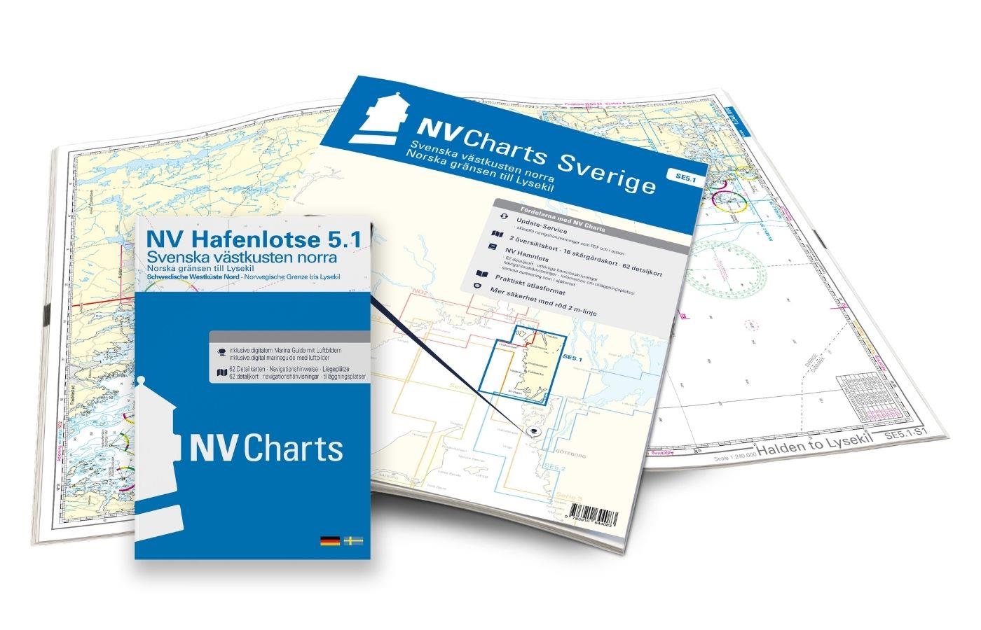
NV Charts Sverige SE 5.1 - Svenska Västkusten Norra
To get to the Oslofjord via the Swedish West Coast, there is no way around the NV Charts Atlas Series 5.1 Svenska Västkusten Norra past. This chart series, specially designed for recreational boating,

€69.90*
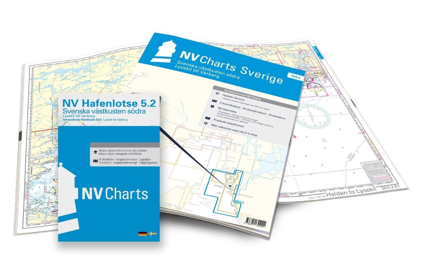
NV Charts Sverige SE 5.2 - Svenska Västkusten Södra
As an extension of the popular Series 3, NV Charts offers Series 5.2 Svenska Västkusten Södra on the Swedish west coast. The chart series, specially designed for recreational boating, contains the nau

€69.90*
-33 %
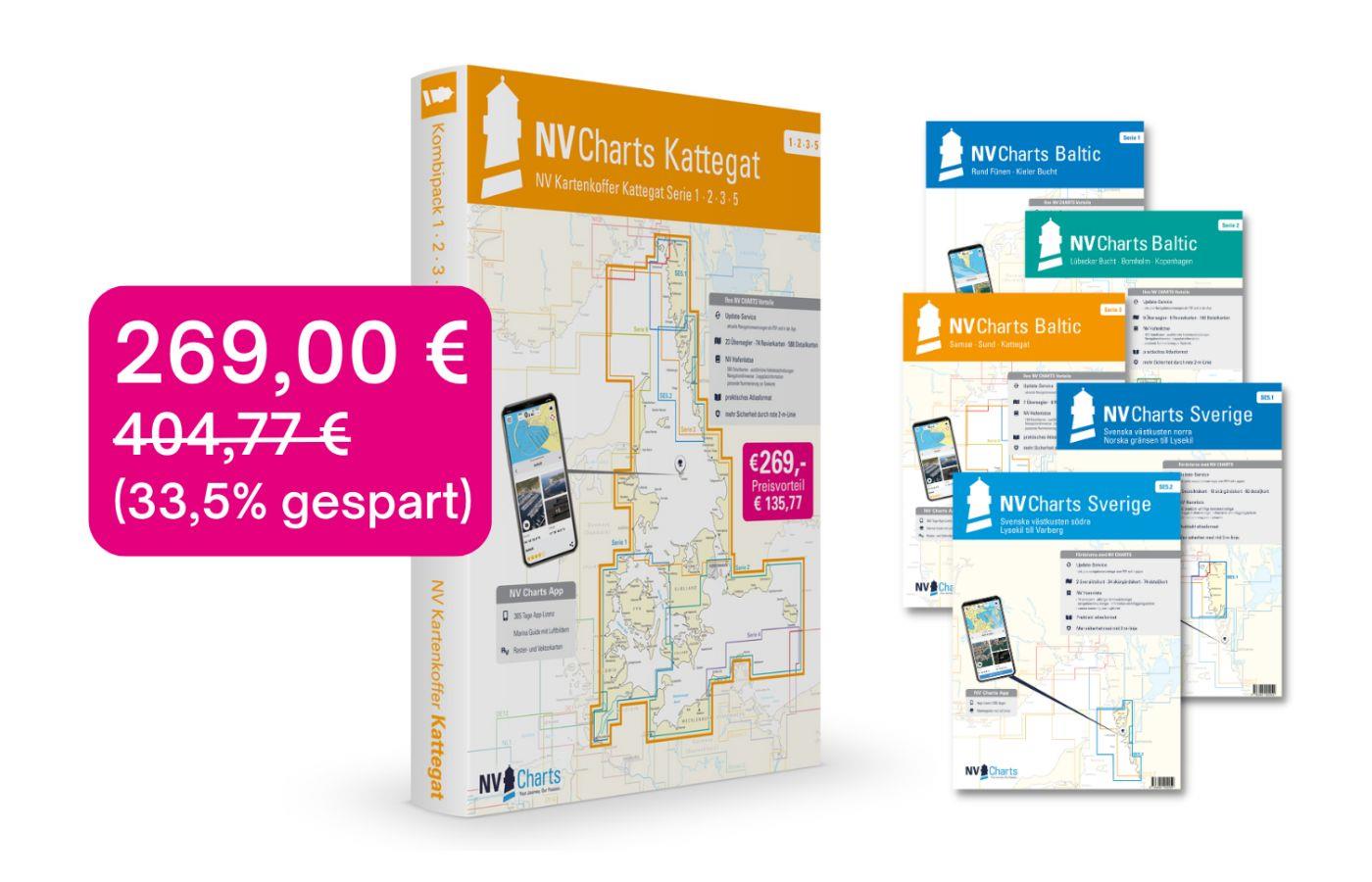
NV Charts Box North Germany to Norwegian border Region 1, 2, 3, 5.1, 5.2
Those looking to save while still being optimally equipped to travel from Kiel Bay to the Norwegian border will be very well served by the NV Atlas Kattegat Case . The Kattegat Case includes the Serie

€269.00* €404.77* (33.54% saved)
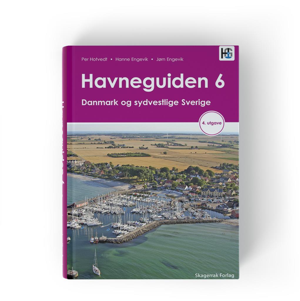
Havneguiden 6 Danmark og sydvestlige Sverige
Our most popular harbour guide covers all of Denmark except Bornholm and the west coast of Sweden from Skanör to Gothenburg.Bornholm and Sweden's south and east coasts are covered by Hamnguiden 7.In t

€74.90*
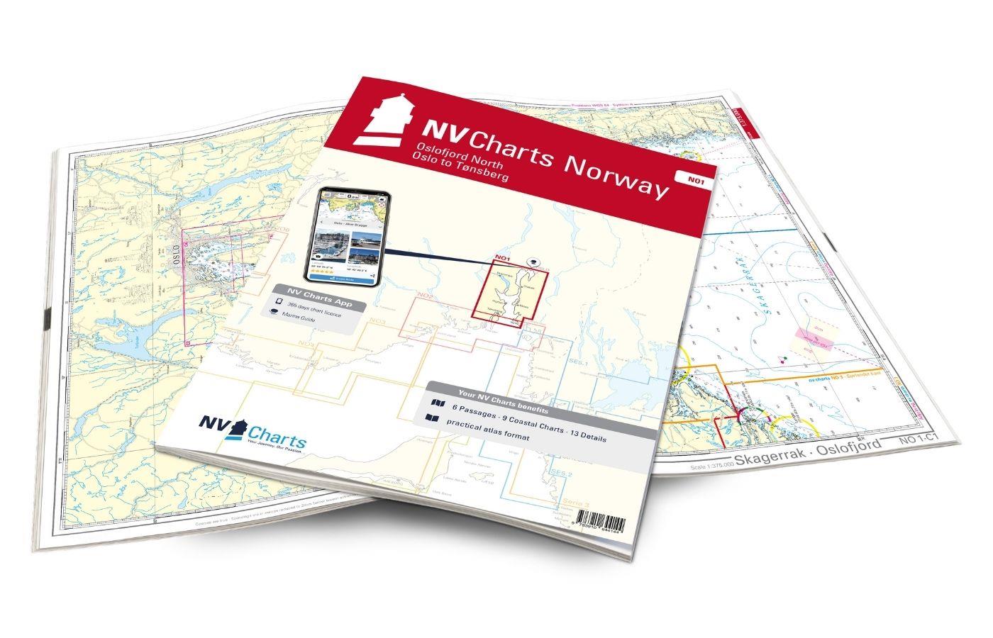
NV Charts Norway NO1 - Oslofjord Nord, Oslo to Tønsberg
The NV Charts Norway Atlas NO1 covers the region around Oslo. NV Charts charts for the Norwegian coast are based on data from the Norwegian Hydrographic Office and also include the harbour plans of th

€74.99*

Products near this article

Products near this article

NV Charts Sverige SE 5.2 - Svenska Västkusten Södra
As an extension of the popular Series 3, NV Charts offers Series 5.2 Svenska Västkusten Södra on the Swedish west coast. The chart series, specially designed for recreational boating, contains the nau

€69.90*
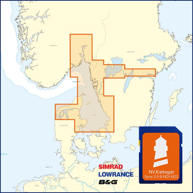
NV Kattegat Plotterseekarten
Maps & Port plans of series 3 5.1 5.2 NO 1-2 Inland volume 8 and series 9.With this map you can get from Samsö through the Kattegat via the popular island of Anholt to the Swedish western archi

€129.99*
NV Charts Sverige SE 5.1 - Svenska Västkusten Norra
To get to the Oslofjord via the Swedish West Coast, there is no way around the NV Charts Atlas Series 5.1 Svenska Västkusten Norra past. This chart series, specially designed for recreational boating,

€69.90*
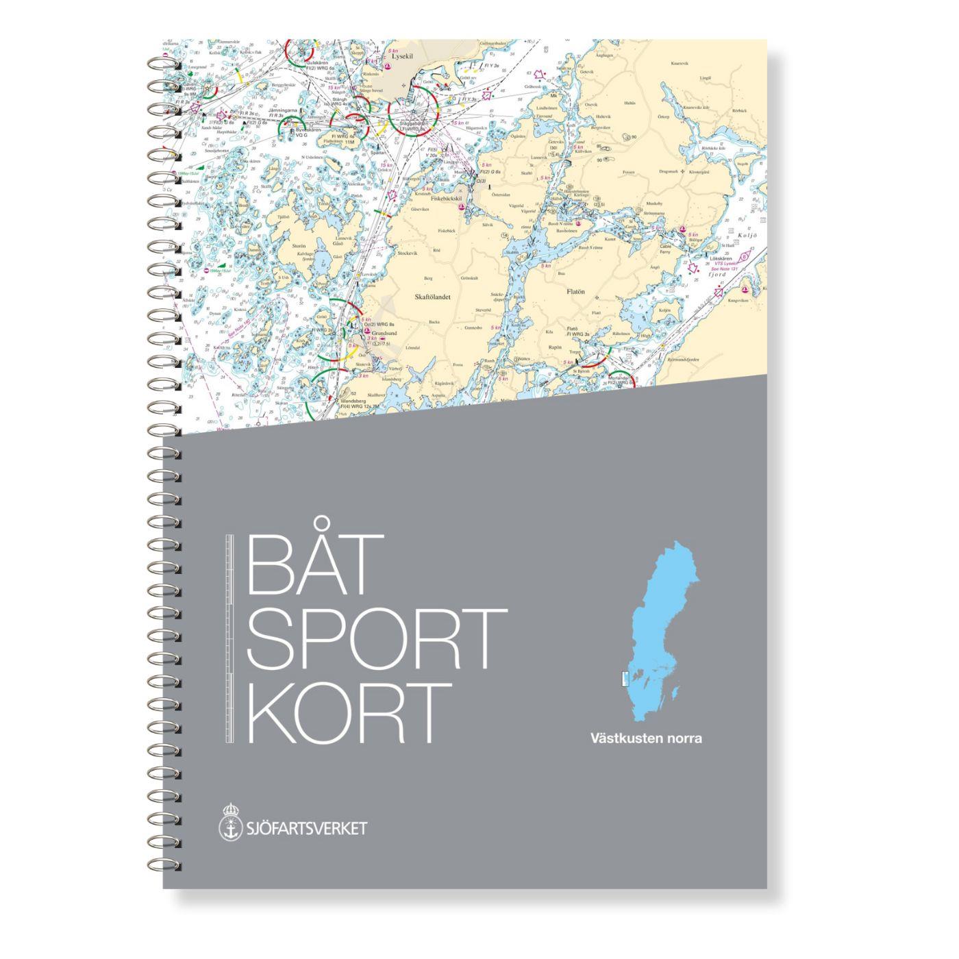
Schwed. Serie Västkusten N
Svinesund to Måseskär. Format 30 x 42 cm spiral binding.

€78.00*
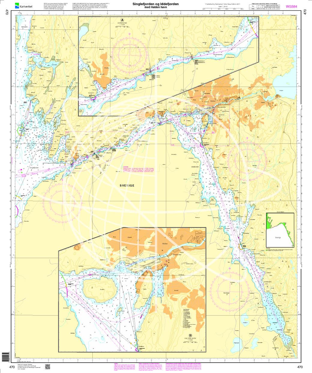
N 470 POD
Singlefjorden Iddefjorden med Halden havn. - POD cards are excluded from exchange.

€27.70*
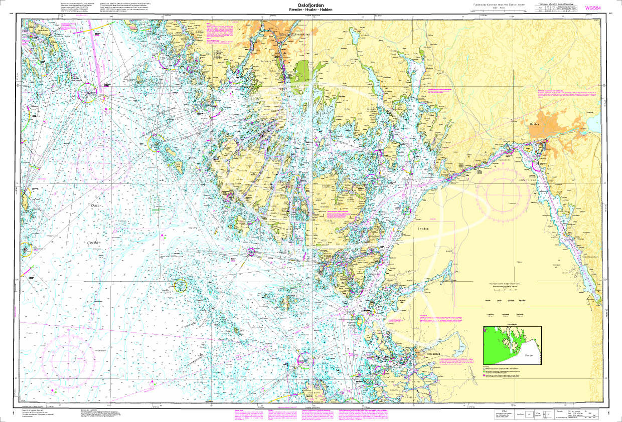
Norwegen N 1 Oslofjord von Faerder - Hvaler - Halden
The Sea Chart N 1 covers the east coast and the offshore islands in the Oslofjord from Faerder via Hvaler to Halden. The detailed scale is 1:50000. We print the chart on customer reque

€27.70*
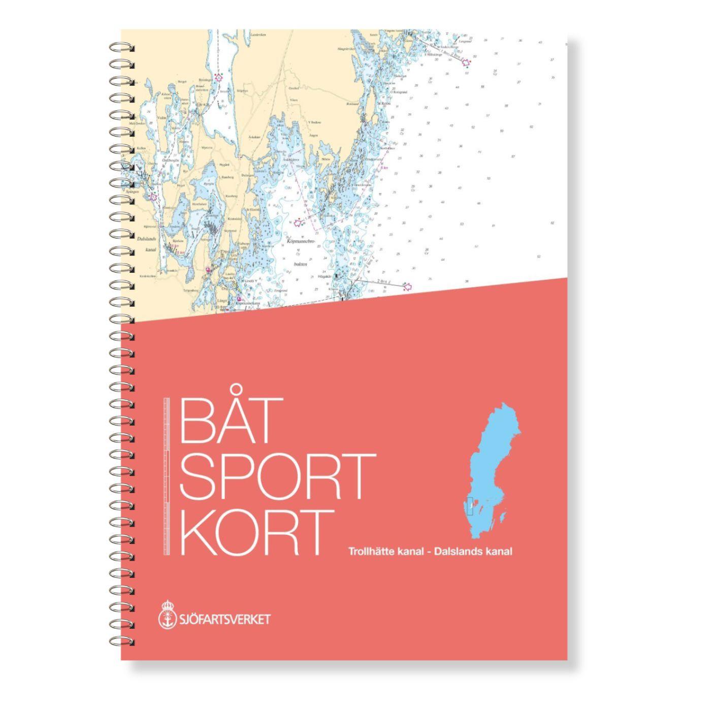
Schwedische Serie Trollhätte Kanal - Dalslands Kanal
The Swedish Båtsportkort sports boat chart set Trollhätte Kanal - Dalslands Kanal has been thoroughly overhauled in the 2020 edition and expanded to include the Trollhätte Kanal and the connection

€78.00*
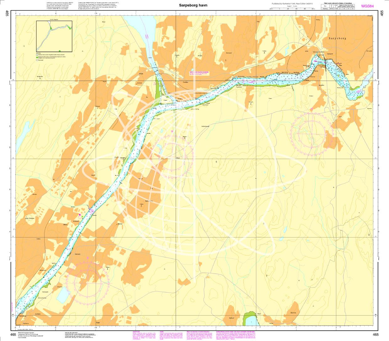
N 465 POD
Sarpsborg havn. - POD cards are excluded from exchange.

€27.70*
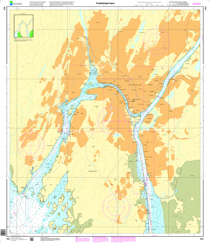
N 464 POD
Fredrikstad havn. - POD cards are excluded from exchange.

€27.70*
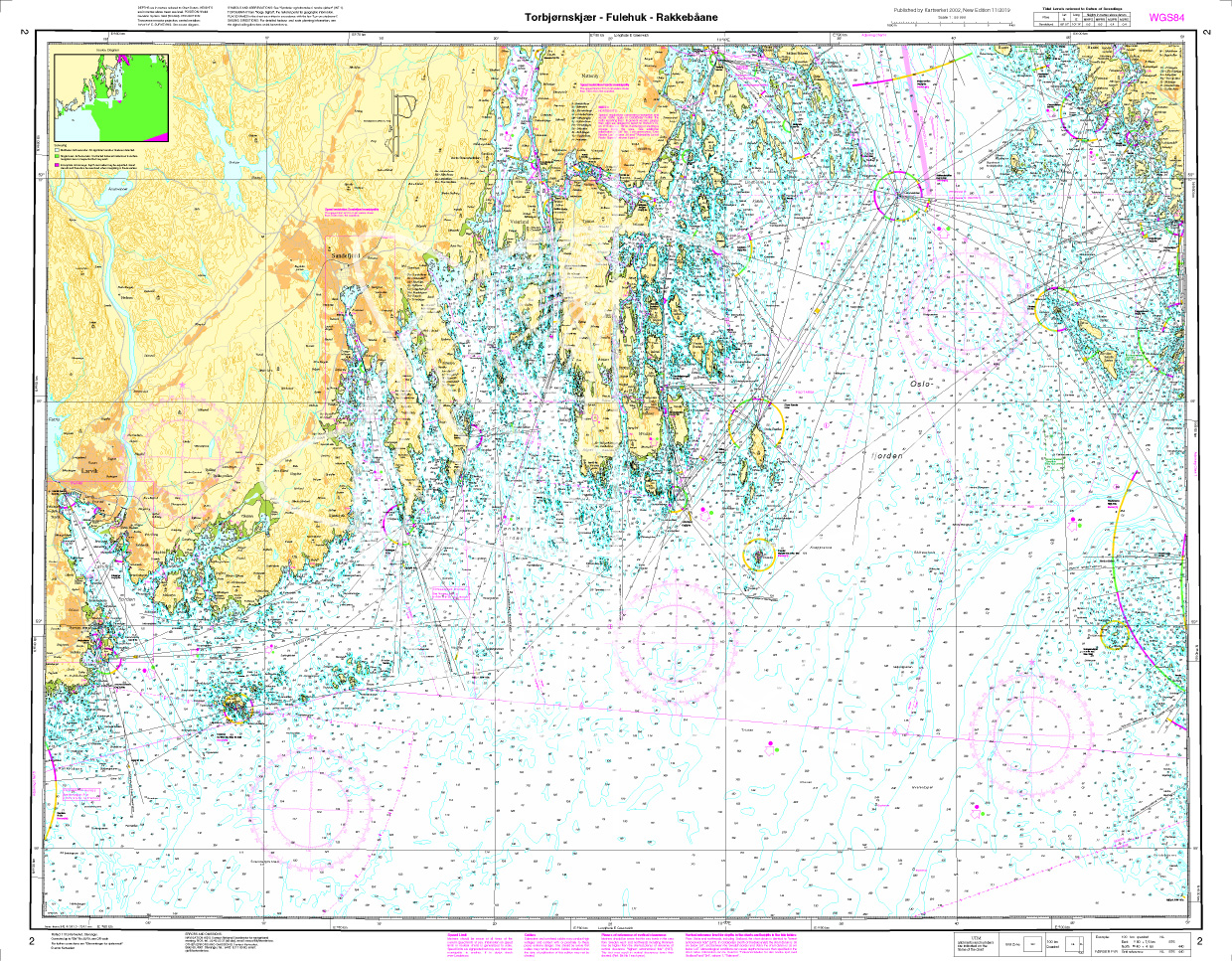
Norwegen N 2 - Oslofjord, Torbjørnskjær - Fulehuk - Rakkebåene
The Sea Chart N 2 covers the west coast of the Oslofjord and the offshore islands as far as Hvaler with Torbjørnskjær - Fulehuk - Rakkebåene . The deatiled scale is 1:50.000. We print

€27.70*
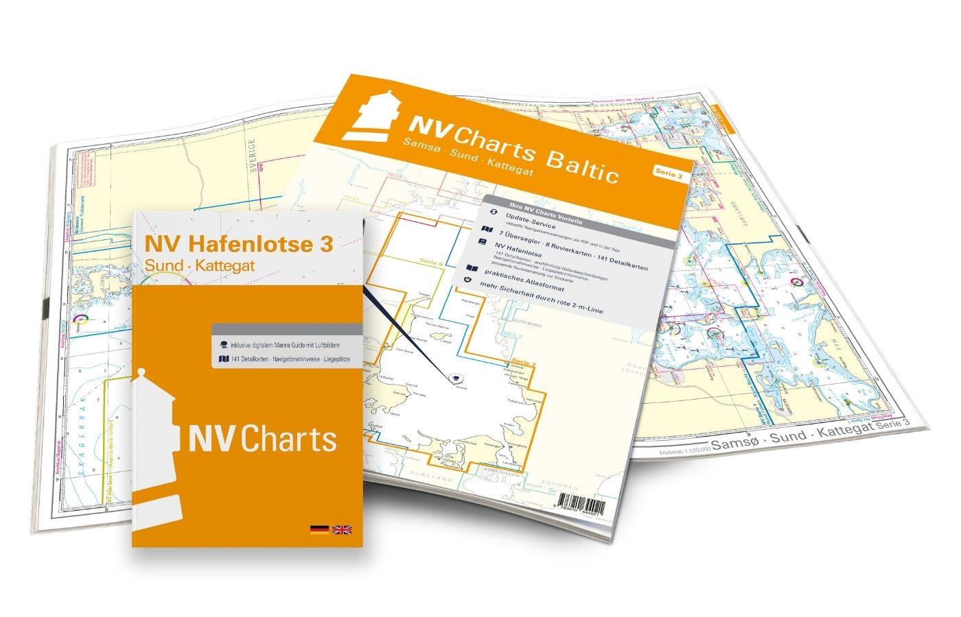
NV Charts Baltic Region 3 - Samsø - Sund - Kattegat
The handy pleasure craft charts for the sea area Samsø - Sund - Kattegat are a chart series specially designed for recreational boating. It contains the nautical charts in various sizes, as well as al

Variants from €59.99*
€74.99*

Reviews

0 of 0 reviews

Leave a review!

Share your experiences with other customers.