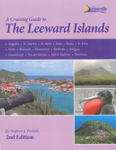
Cruising Guide to the Leeward Islands

Chart ID: RB0567

€73.00*


Product number: 22424

Description

The second edition of the 2012 Cruising Guide to the Leeward Islands by Stephen J. Pavlidis covers Anguilla St. Barts Statia Nevis Montserrat Antigua Marie-GalanteÎles des Saintes St. MartinSaba St. Kitts Redonda Barbuda Guadeloupe to Dominica.


The Leeward Islands cruising guide includes photos GPS waypoints information on anchorages and dive sites harbours service phone numbers weather and port approaches.

Language: Englisch
Region: Caribbean
Size: Buch
Area preview

With the help of our area preview, you can get an impression of which geographical region the product deals with or which areas a nautical chart covers.

Other customers bought also

Other customers bought also

Gebietsvorschau für NV Charts Caribbean 12.2 - Leeward Islands öffnen
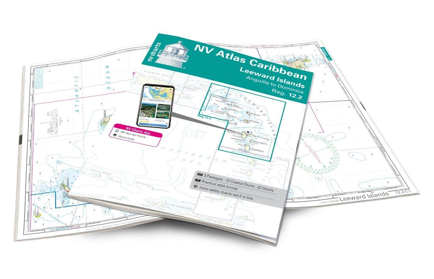
NV Charts Caribbean 12.2 - Leeward Islands
With the NV Charts Caribbean 12.2 Atlas  you have the perfect companion for the Leeward Islands from Anguilla to Dominica at your side. Thanks to the clear layout, you can find approaches, h

€94.99*
Gebietsvorschau für NV Charts Pilot 6 - US East Coast, Maine to Caribbean • Bermuda öffnen
NV Charts Pilot 6 - US East Coast, Maine to Caribbean • Bermuda
The Pilot 6 is a planning chart for the east coast of the USA. The Antilles, Cuba and the Caribbean Sea can also be found on this chart.This folding chart consists of two overview charts:Chart 1, scal

€24.99*
Gebietsvorschau für NV Charts Caribbean 12.3 - Windward Islands öffnen
NV Charts Caribbean 12.3 - Windward Islands
With the NV Charts Atlas Caribbean 12.3 you have the perfect companion for the Windward Islands from Martinique to Grenada at your side. Thanks to the clear layout, you can find approaches,

€94.99*

Reviews

0 of 0 reviews

Leave a review!

Share your experiences with other customers.


Gebietsvorschau für Cruising Guide Trinidad & Tobago öffnen
Cruising Guide Trinidad & Tobago
Trinidad Tobago Barbados and Guyana are becoming an increasingly popular Caribbean destination for seafarers. This guide is the most comprehensive of its kind published for this area. Chris Doyle and

€32.80*
Gebietsvorschau für Bloc Marine: Petites Antilles öffnen
Bloc Marine: Petites Antilles
For accurate information on port areas safety at sea and recreational boating regulations the Bloc Marine Petites Antilles is a first-class travel companion. It contains numerous port plans and al

€39.00*
Gebietsvorschau für The Sailors Guide to the Windward Islands öffnen
The Sailors Guide to the Windward Islands
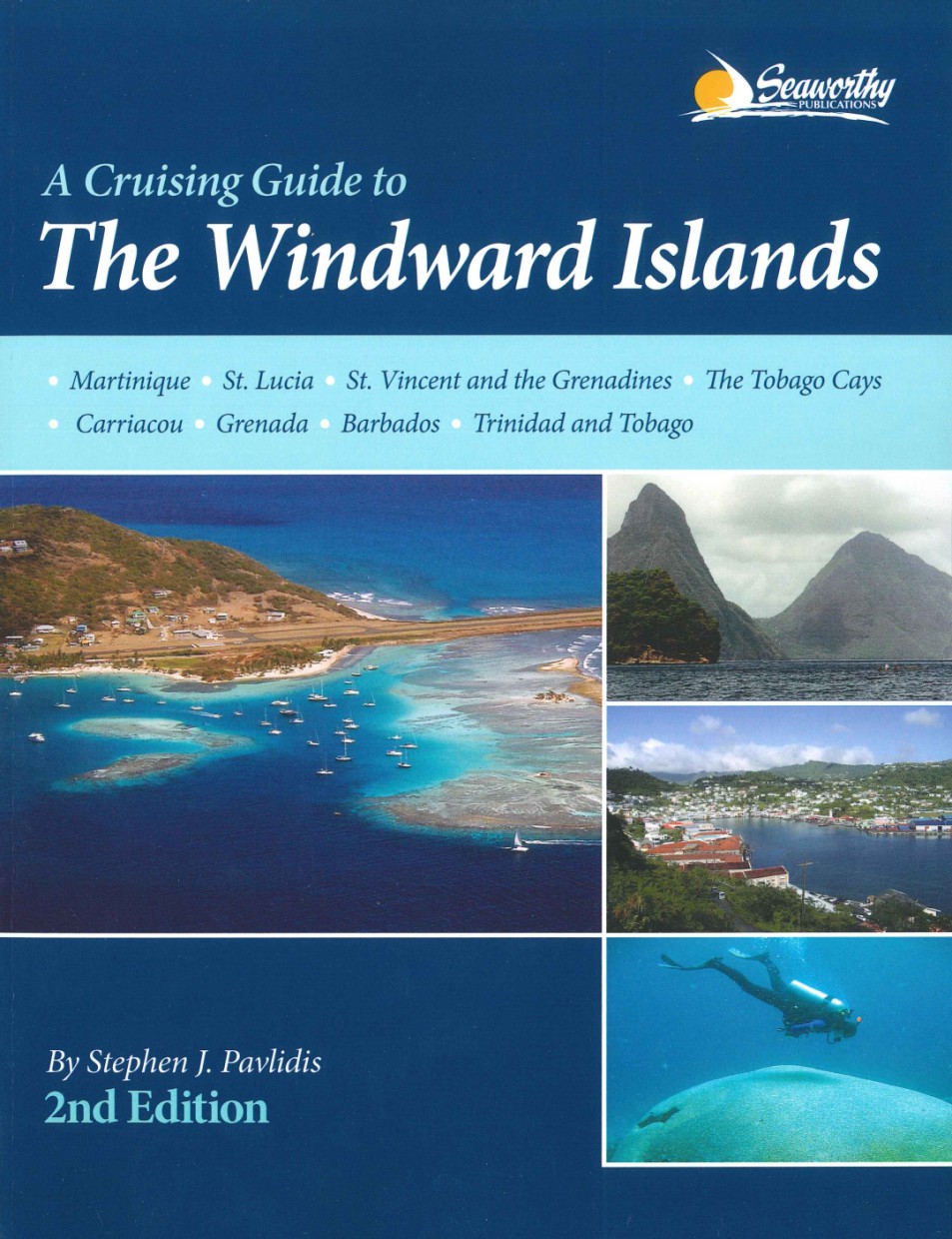
Martinique to Grenada - Includes travel information & island stories maps & island navigation yacht & mega yacht service shore activities diving & snorkelling.These guides ar

€45.95*
Gebietsvorschau für Cruising Guide to the Northern Leeward Islands öffnen
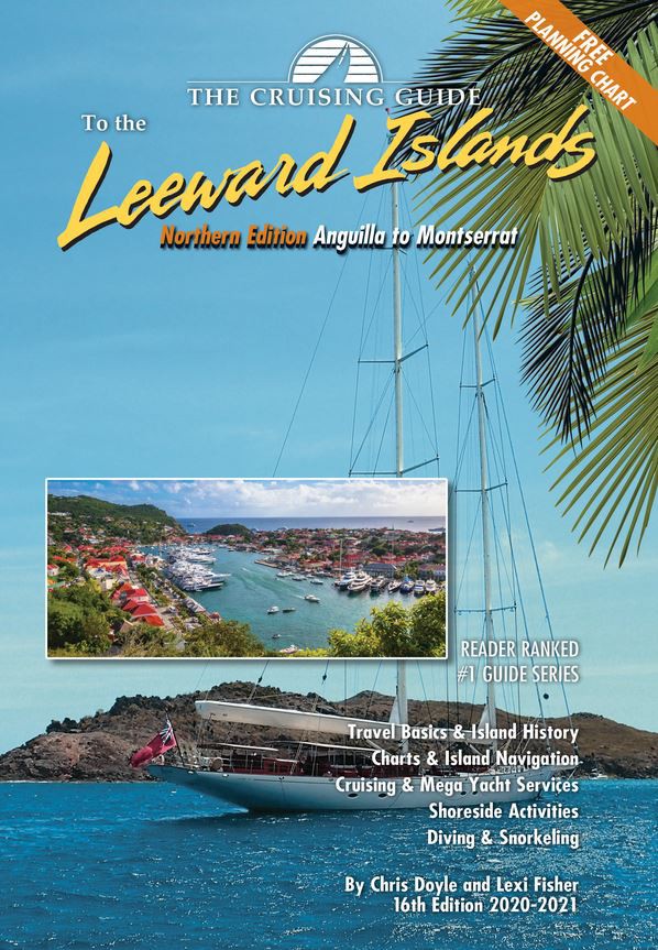
Cruising Guide to the Northern Leeward Islands
Anguilla to Montserrat - Includes travel information & island stories maps & island navigation yacht & mega yacht service shore activities diving & snorkelling.This 16th edition (

€36.80*
Gebietsvorschau für NV Häfen & Ankerplätze Virgin & Leeward Islands öffnen
NV Häfen & Ankerplätze Virgin & Leeward Islands
The aerial photographs in this book cover the Virgin Islands from St Thomas to Anegada and the Leeward Islands from Anguilla to Antigua. The numbering of the ports and anchorages are coordinated with

€9.80*
Gebietsvorschau für Brazil Cruising Guide öffnen
Brazil Cruising Guide
Originally published in France, this guide to Brazil has been produced to the same high standards as Imray's great pilot books.More than 250 harbours and anchorages are described and illustrated in co

€52.00*
Gebietsvorschau für Sea of Cortez öffnen
Sea of Cortez
A Cruiser's Guidebook is the fourth edition of this comprehensive guide to the remote and unspoilt anchorages of the Baja Peninsula and mainland Mexico in the Sea of Cortez. This new edition incl

€98.00*