Waterway Guide Bahamas

Edition: 2024

€54.90*


Product number: 22460

Description

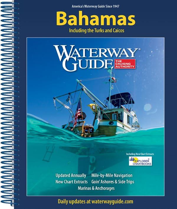
The annually updated Waterway Guide Bahamas  is a useful travel companion for sailors anglers and powerboat enthusiasts exploring the Bahamasthe Turks and Caicos Islands.

This cruising guide provides navigation information aerial photos with marked routes marina listings and harbour mapsand  anchorage information. Helpful navigational data such as GPS waypoints detailed planning maps and distance information help sailors anglers and power boaters navigate the maritime area safely. A flexible spiral binding and heavy laminated covers with bookmark flaps ensure the Waterway Guide is durable and easy to use in the cockpit and at the helm.

Cover:

  • Bahamas                                         
  • Turks
  • Caicos Islands
Language: Englisch
Region: Caribbean
Size: Spiralbindung
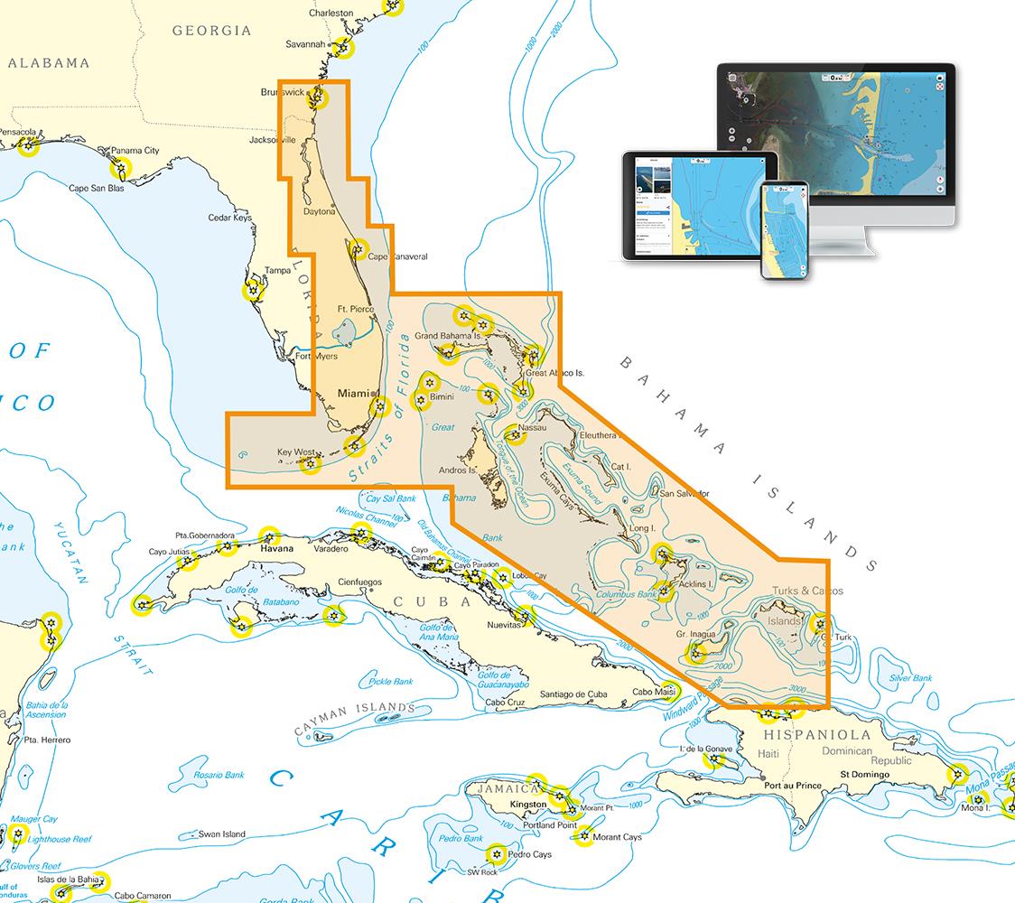
Area preview

With the help of our area preview, you can get an impression of which geographical region the product deals with or which areas a nautical chart covers.

Related products to this item

Related products to this item

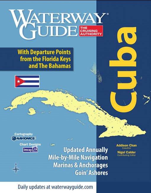
Waterway Guide: Cuba
Waterway Guide Cuba covers the entire coast of Cuba and is the perfect companion whether youre out for a few days or cruising around the island. Detailed navigation anchorages Goin Ashore information

€59.90*
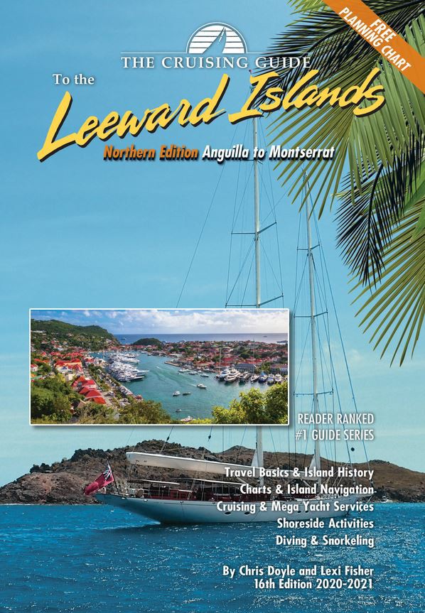
Cruising Guide to the Northern Leeward Islands
Anguilla to Montserrat - Includes travel information & island stories maps & island navigation yacht & mega yacht service shore activities diving & snorkelling.This 16th edition (

€36.80*
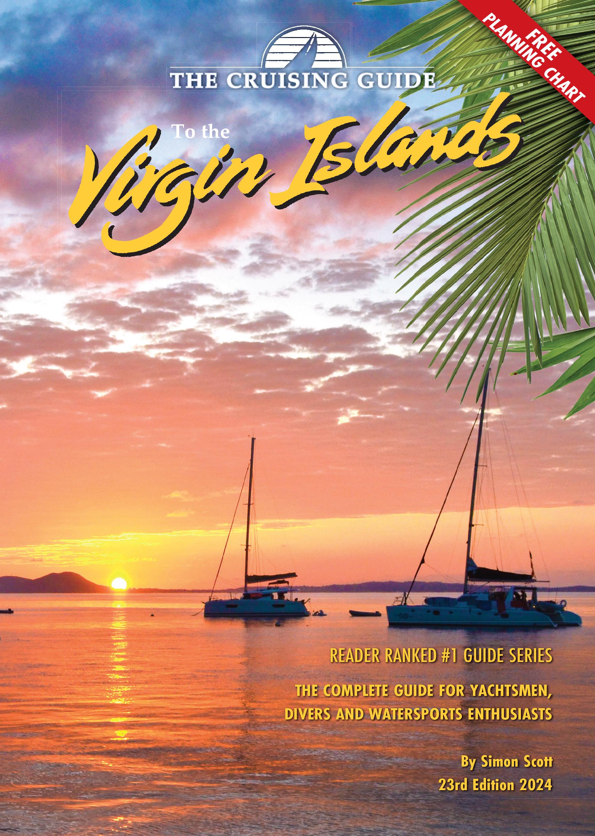
Cruising Guide to the Virgin Islands
The Cruising Guide to the Virgin Islands   This Cruising Guide covers the Virgin Islands including all US and British Virgin Islands.This edition is packed with the latest information o

€45.95*
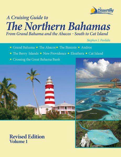
A Cruising Guide to The Northern Bahamas
The Cruising Guide to the Northern Bahamas by Pavlidis covers the cruising area from the Bahamas to the Abacos to Cat Island and includes many photos and maps designed by the author himself. The exten

€73.00*
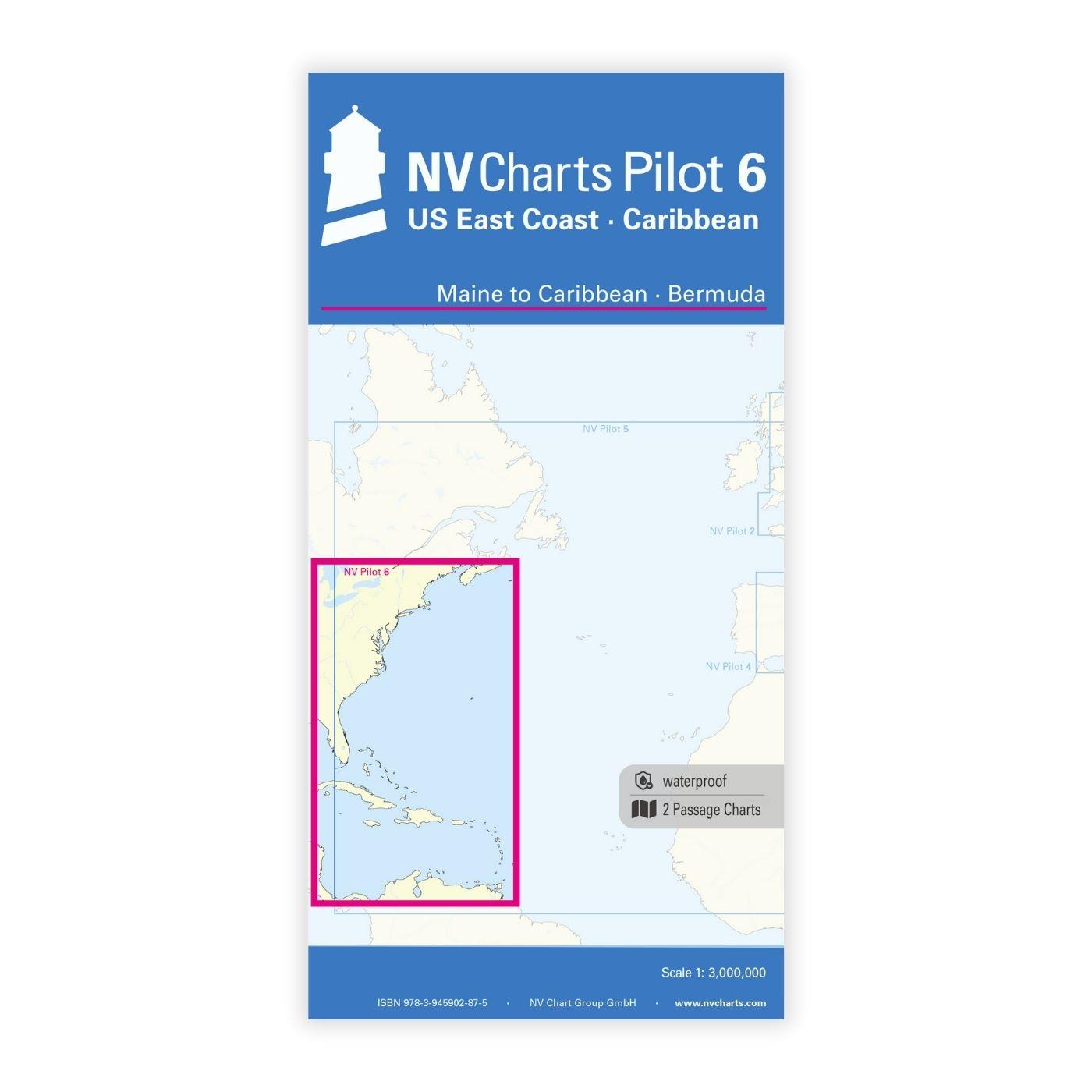
NV Charts Pilot 6 - US East Coast, Maine to Caribbean • Bermuda
The Pilot 6 is a planning chart for the east coast of the USA. The Antilles, Cuba and the Caribbean Sea can also be found on this chart.This folding chart consists of two overview charts:Chart 1, scal

€24.99*
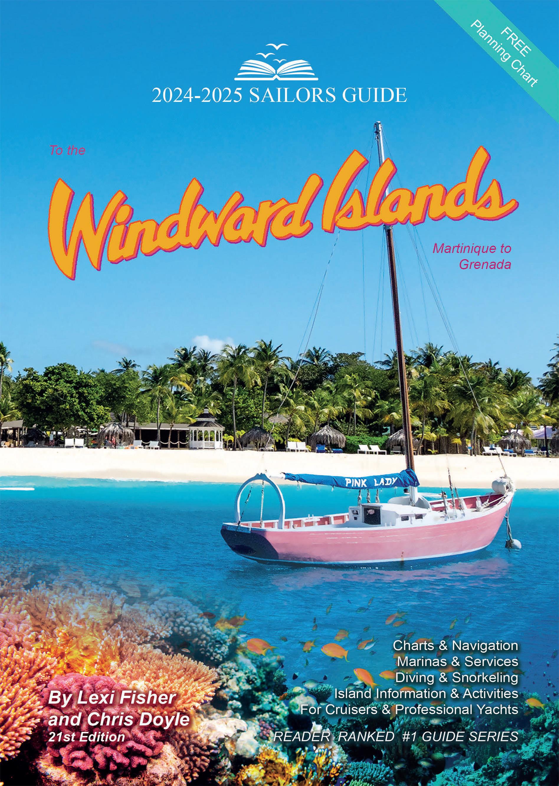
The Sailors Guide to the Windward Islands
Martinique to Grenada - Includes travel information & island stories maps & island navigation yacht & mega yacht service shore activities diving & snorkelling.These guides ar

€45.95*
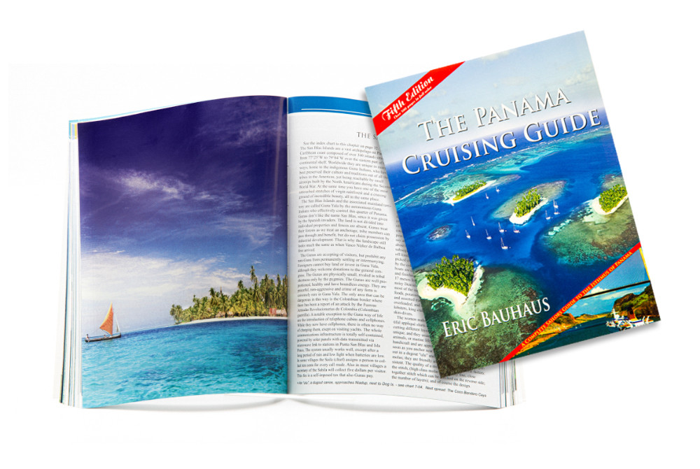
The Panama Cruising Guide
This cruising guide is the most comprehensive complete and easy to use cruising guide for the beautiful Isthmus of Panama. Over 225 charts plus waypoints and color photographs are divided into 9 chapt

€69.90*

Products near this article

Products near this article

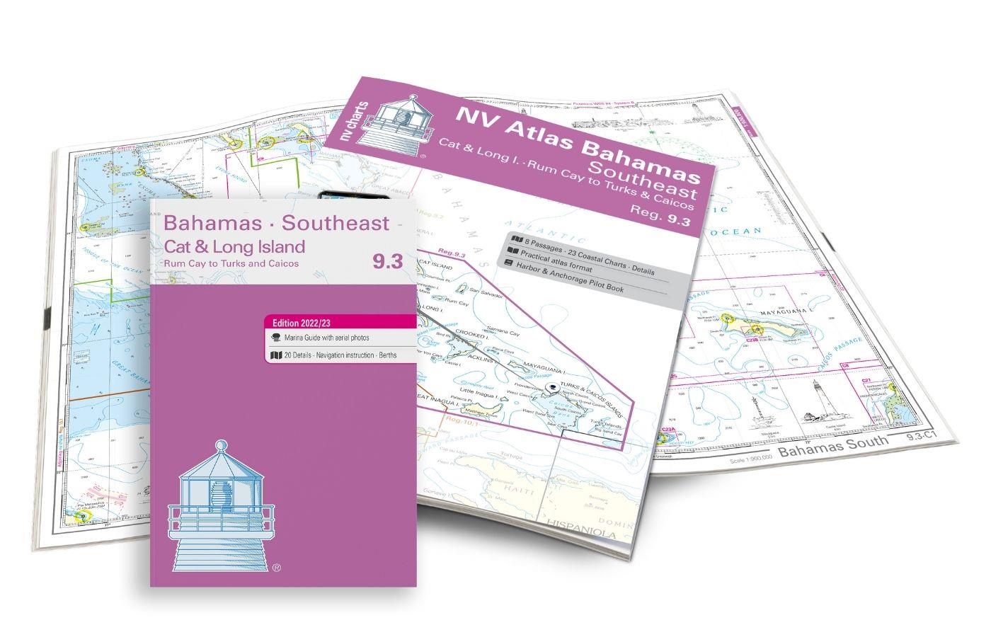
NV Atlas 9.3, Bahamas South East - Cat & Long Island - Rum Cay to Turks & Caicos
The NV Charts Bahamas 9.3 Atlas is the perfect companion for the southern Bahamas and the Turks and Caicos Islands . Thanks to the clear layout, the recreational skipper can quickly find approach

€74.99*
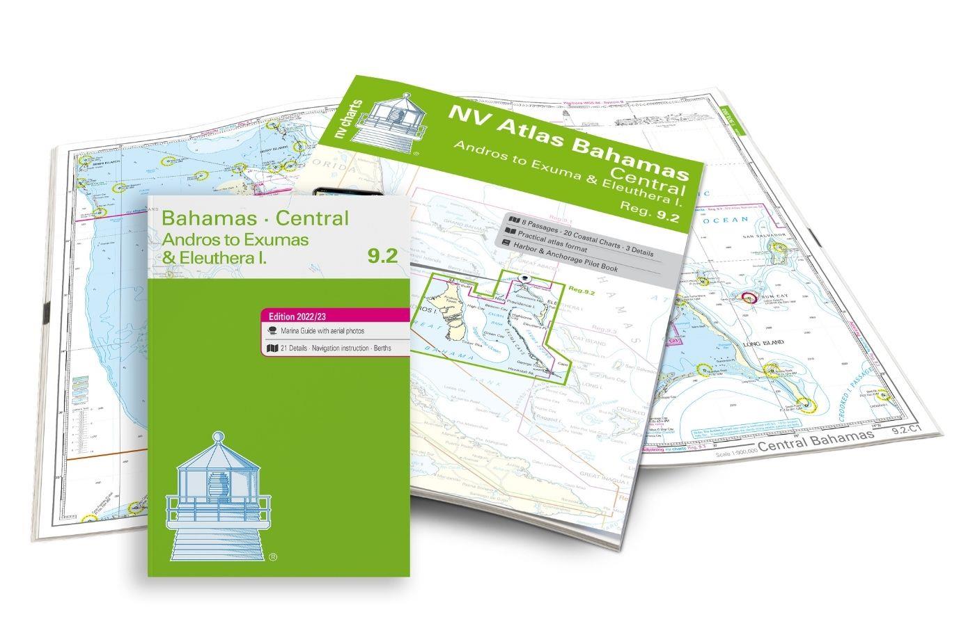
NV Charts Bahamas 9.2 - Central, Andros to Exumas & Eleuthera Islands
The NV Charts Bahamas 9.2 Atlas  is the right companion for the Central Bahamas: Andros to Exumas and Eleuthera Islands . Thanks to the clear layout, the recreational skipper can quickly find app

€74.99*
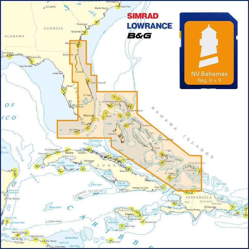
NV Florida - Bahamas & Bermuda Plotterseekarte
Maps & Port plans of the series 8.1 8.2 8.3 8.4 9.1 9.2 9.3 & 16.1The coast of Florida the Keys and the Bahamas on a plotter chip including Bermuda. As a supplement we recommend the correspondin

€129.99*
NV Charts App - Florida and Bahamas
NV Charts App - Florida and Bahamas[nvtext_abo_app_iap]This product can only be used in the NV Charts app, it is not compatible with other navigation programs.

€49.90*
A Cruising Guide to The Northern Bahamas
The Cruising Guide to the Northern Bahamas by Pavlidis covers the cruising area from the Bahamas to the Abacos to Cat Island and includes many photos and maps designed by the author himself. The exten

€73.00*
NV Charts Pilot 6 - US East Coast, Maine to Caribbean • Bermuda
The Pilot 6 is a planning chart for the east coast of the USA. The Antilles, Cuba and the Caribbean Sea can also be found on this chart.This folding chart consists of two overview charts:Chart 1, scal

€24.99*
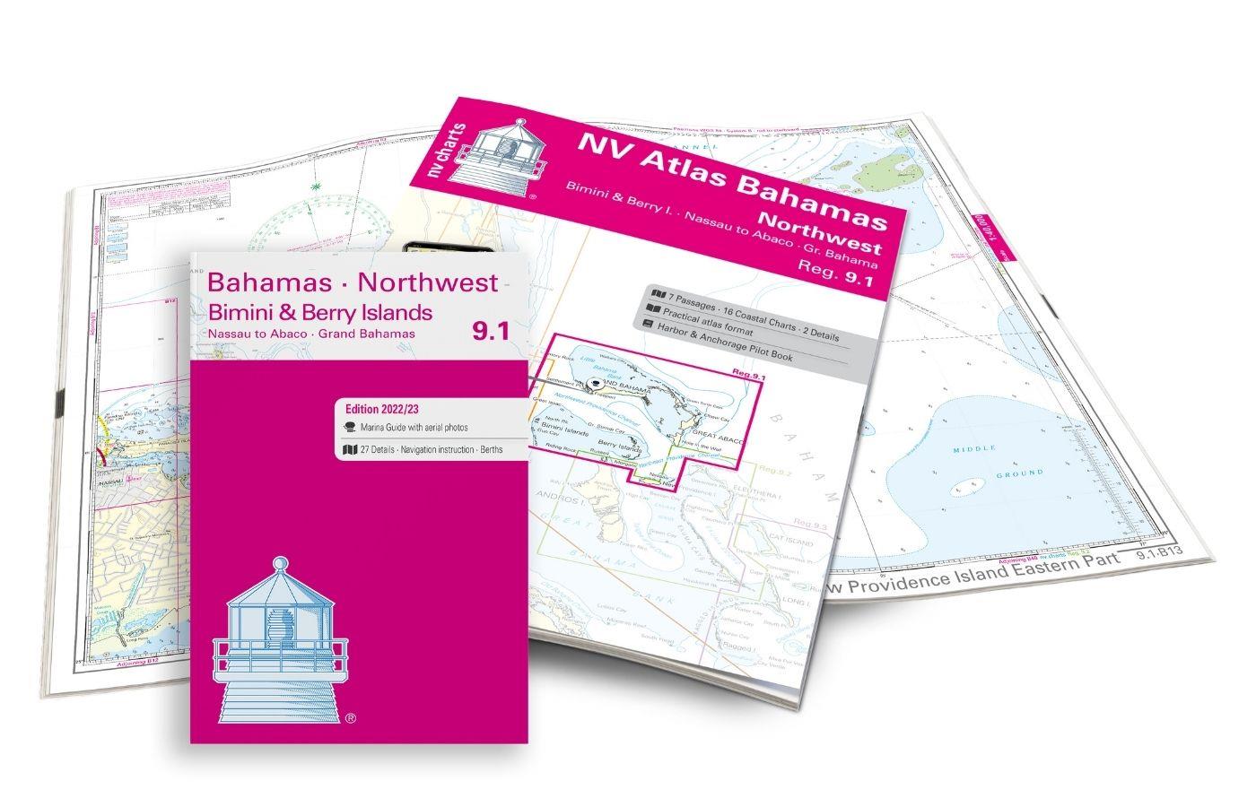
NV Charts Bahamas 9.1 - Bahamas North West, Bimini & Berry Islands, Nassau to Abaco, Grand Bahama
The NV Charts Bahamas 9.1 Atlas  is the right companion for the Bimini and Berry Islands, Grand Bahama and Nassau to Abaco . Thanks to the clear layout, the recreational skipper can quickly

€74.99*
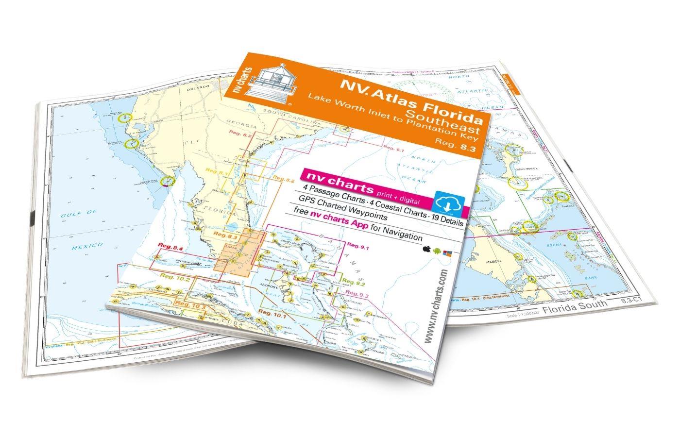
NV Atlas Florida Southeast Reg. 8.3 - Lake Worth Inlet to Plantation Key
Lake Worth Inlet to Plantation Key. 3 oversailers 20 coastal and 7 detailed maps with "Harbour & Anchorage Pilot". Format 30x42cm paperback. In English language. The set includes a download code fo

€49.00*
Waterway Guide: Cuba
Waterway Guide Cuba covers the entire coast of Cuba and is the perfect companion whether youre out for a few days or cruising around the island. Detailed navigation anchorages Goin Ashore information

€59.90*

Reviews

0 of 0 reviews

Leave a review!

Share your experiences with other customers.