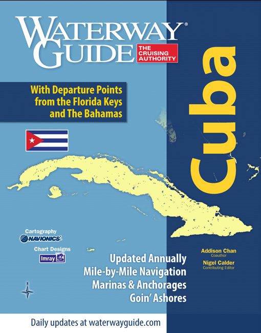
Waterway Guide: Cuba

€59.90*


Product number: 22465

Description

Waterway Guide Cuba covers the entire coast of Cuba and is the perfect companion whether youre out for a few days or cruising around the island. Detailed navigation anchorages Goin Ashore information over 140 chartlets and a bonus section on the Florida Keys are included in this new 400+ page guide.

Waterway Guide Cuba is the most comprehensive and up-to-date guide for anglers sailors and power boaters. This guide has been co-authored by Addison Chan who has distinguished himself as an outstanding expert on sailing and navigation on the Cuban coast. Nigel Calder who was a contributing editor provides additional insight into the north-east coast section with extracts from his guide.

The cruising guide is a Good addition to NV Charts Cuba nautical charts.

Coverage:

  • Havana and Marina Hemingway
  • Havana to Cabo de San Antonio
  • Cabo de San Antonio to Cienfuegos
  • Cienfuegos
  • Cienfuegos. to Santiago de Cuba
  • Santiago de Cuba
  • Santiago de Cuba to Varadero
  • Varadero
  • Florida Keys


Language: Englisch
Region: Caribbean, Cuba
Size: Spiralbindung
Area preview

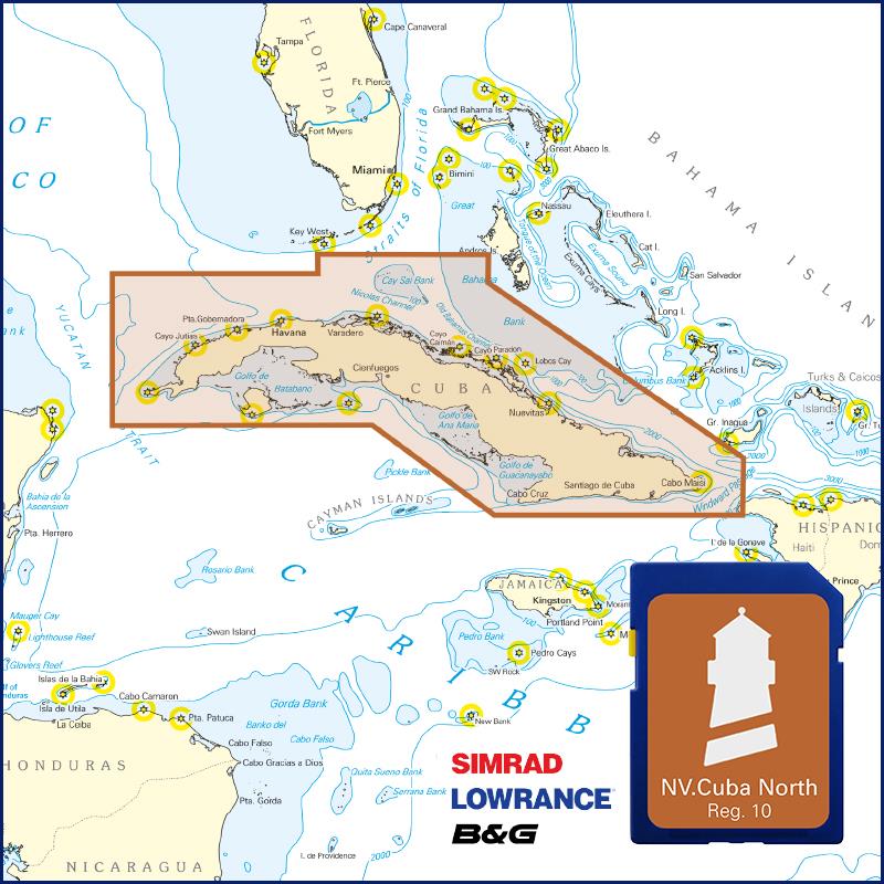
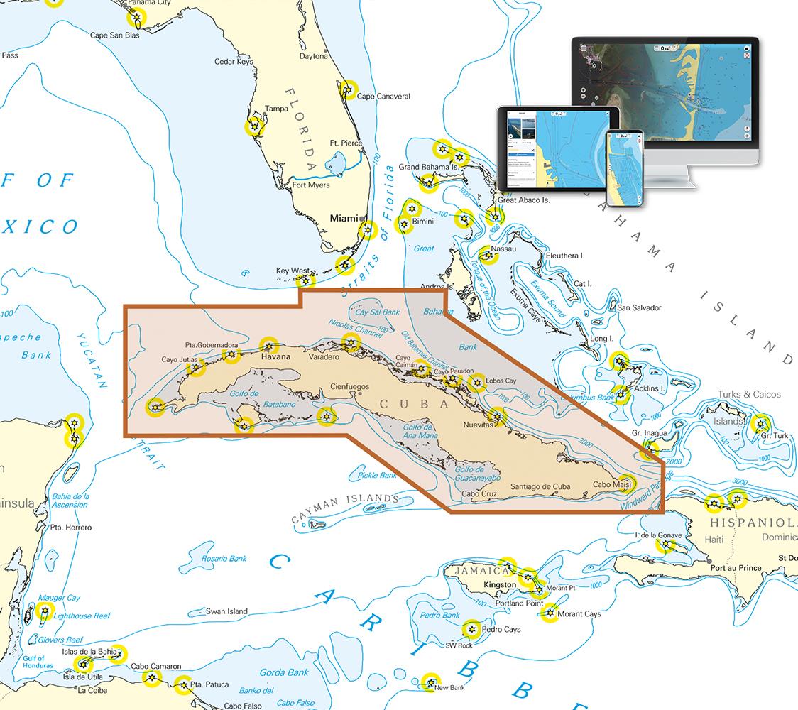
With the help of our area preview, you can get an impression of which geographical region the product deals with or which areas a nautical chart covers.

Related products to this item

Related products to this item

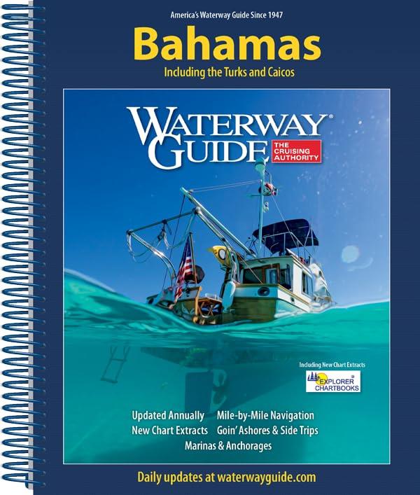
Waterway Guide Bahamas
The annually updated Waterway Guide Bahamas  is a useful travel companion for sailors anglers and powerboat enthusiasts exploring the Bahamasthe Turks and Caicos Islands.This cruising guide provi

€54.90*
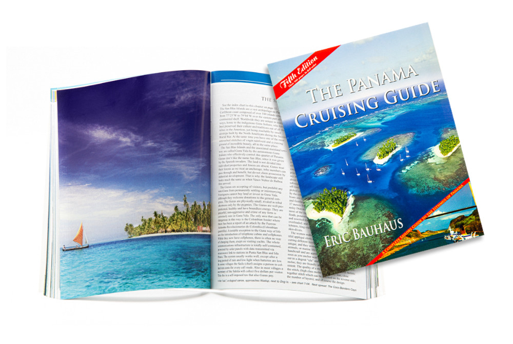
The Panama Cruising Guide
This cruising guide is the most comprehensive complete and easy to use cruising guide for the beautiful Isthmus of Panama. Over 225 charts plus waypoints and color photographs are divided into 9 chapt

€69.90*
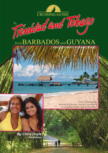
Cruising Guide Trinidad & Tobago
Trinidad Tobago Barbados and Guyana are becoming an increasingly popular Caribbean destination for seafarers. This guide is the most comprehensive of its kind published for this area. Chris Doyle and

€32.80*
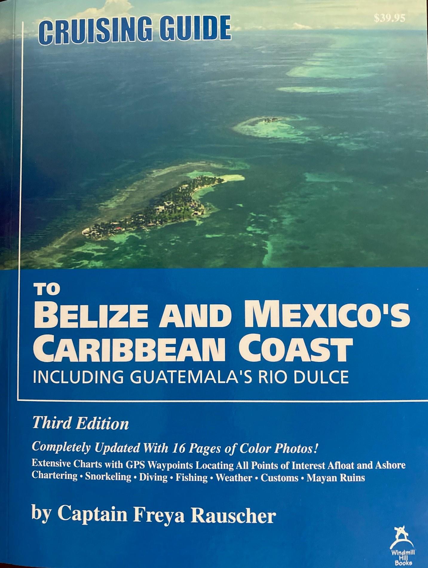
Cruising Guide Belize & Mexico's Caribbean Coast
incl. Guatemalas Rio Dulce. All points of interest afloat and ashore are located on the charts. Covers chartering fishing snorkeling and diving how to get there customs transportation things to bring

€51.50*
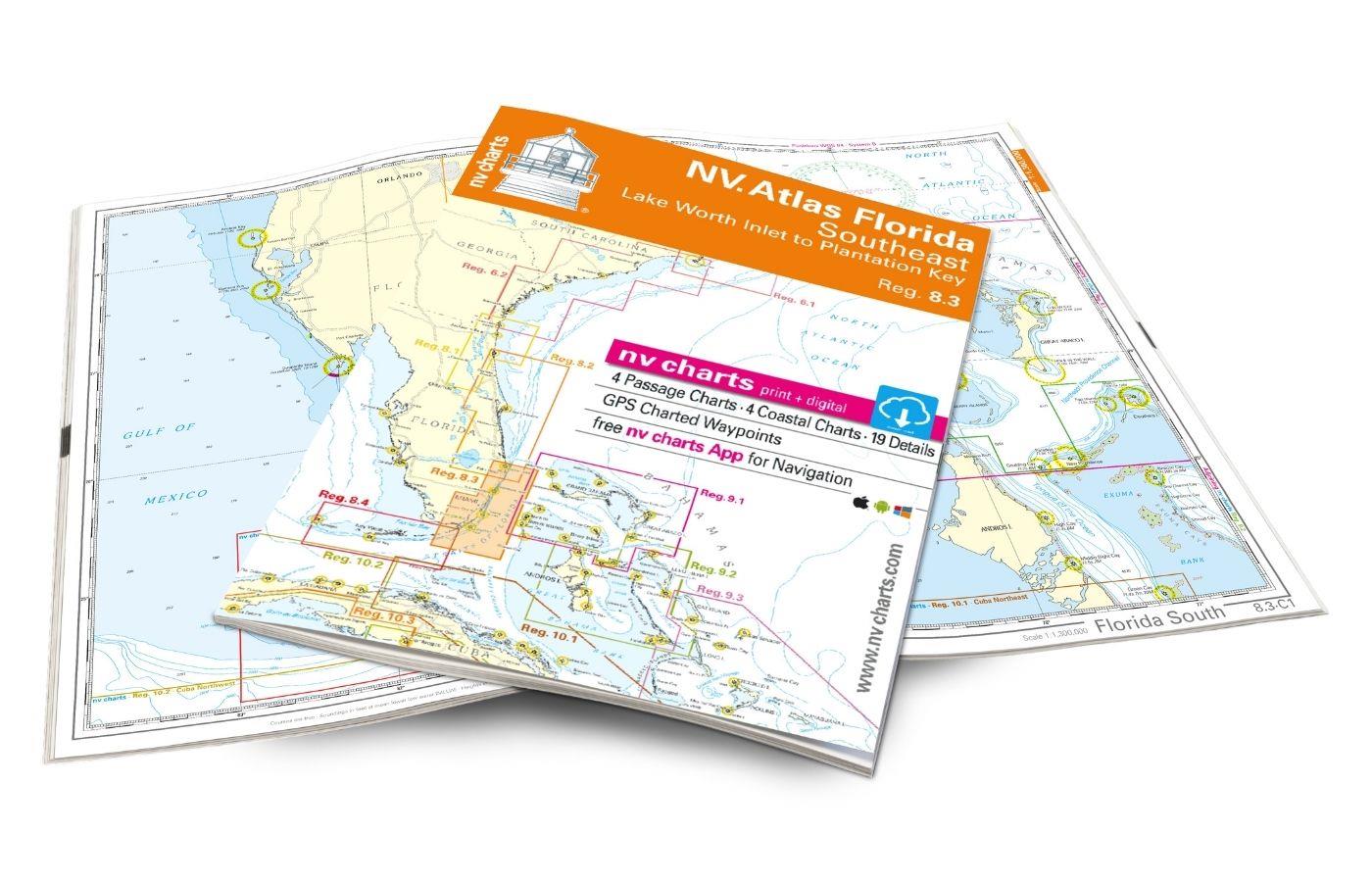
NV Atlas Florida Southeast Reg. 8.3 - Lake Worth Inlet to Plantation Key
Lake Worth Inlet to Plantation Key. 3 oversailers 20 coastal and 7 detailed maps with "Harbour & Anchorage Pilot". Format 30x42cm paperback. In English language. The set includes a download code fo

€49.00*
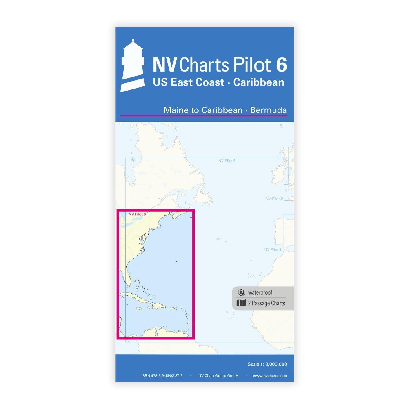
NV Charts Pilot 6 - US East Coast, Maine to Caribbean • Bermuda
The Pilot 6 is a planning chart for the east coast of the USA. The Antilles, Cuba and the Caribbean Sea can also be found on this chart.This folding chart consists of two overview charts:Chart 1, scal

€24.99*
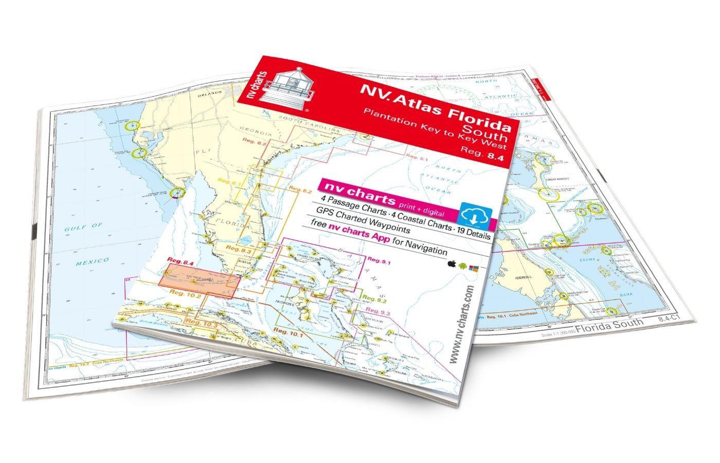
NV Charts Florida 8.4 - South Florida, Plantation Key to Key West
Plantation Key to Key West. 4 oversailers 19 coastal and 3 detailed maps with "Harbour & Anchorage Pilot". Format 30x42cm paperback. In English language. The set includes a download code for all m

€49.00*

Products near this article

Products near this article

NV Cuba Plotterseekarte
Charts & Port plans of series 10.1 10.2 10.3 10.4The probably most detailed nautical charts for the waters around the Caribbean island state summarised on a plotter chip.The charts are supplied on

€129.99*
NV Charts App - Cuba
NV Charts App - Cuba[nvtext_abo_app_iap]This product can only be used in the NV Charts app, it is not compatible with other navigation programs.

€49.90*
NV Charts Florida 8.4 - South Florida, Plantation Key to Key West
Plantation Key to Key West. 4 oversailers 19 coastal and 3 detailed maps with "Harbour & Anchorage Pilot". Format 30x42cm paperback. In English language. The set includes a download code for all m

€49.00*
NV Atlas Florida Southeast Reg. 8.3 - Lake Worth Inlet to Plantation Key
Lake Worth Inlet to Plantation Key. 3 oversailers 20 coastal and 7 detailed maps with "Harbour & Anchorage Pilot". Format 30x42cm paperback. In English language. The set includes a download code fo

€49.00*
NV Charts Bahamas 9.2 - Central, Andros to Exumas & Eleuthera Islands
The NV Charts Bahamas 9.2 Atlas  is the right companion for the Central Bahamas: Andros to Exumas and Eleuthera Islands . Thanks to the clear layout, the recreational skipper can quickly find app

€74.99*

Reviews

0 of 0 reviews

Leave a review!

Share your experiences with other customers.