Skip to main content Skip to search Skip to main navigation

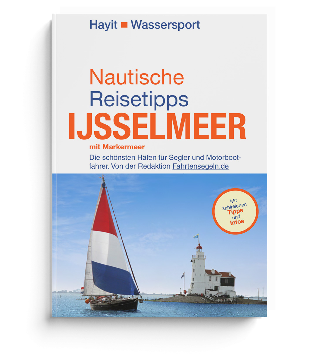
Aguide to the Ijsselmeer and Markermeer

The most beautiful harbours for sailors and motorboat drivers

The largest lake in the Netherlands attracts thousands of water sports enthusiasts from home and abroad to the Netherlands every year. The shores of the Ijsselmeer are lined with historic harbour towns such as Marken or Enkhuizen and generally everyone gets their moneys worth here whether its sporty sailing or relaxing boat trips into the sunset with a motorboat. The Ijsselmeer is the ideal area for the whole family.

The author Ertay Hayit has been sailing on the Ijsselmeer for over 40 years and knows every nook and cranny of this fascinating body of water. His sailing guide "Ijsselmeer mit Markermeer" does without many colourful pictures but convinces with up-to-date and very well researched contents.

The sailing guide  "Nautical Travel Tips Ijsselmeer" is a useful companion for planning and preparation for newcomers to the area. And a reference book for skippers with and without experience on the Isselmeer and the Markermeer. Here not only practical and nautical information is conveyed but also in the sense of a travel guide the tourist and historical value of the respective places is explained.
The book is divided into two sections: Ijsselmeer and Markermeer. Within these areas the localities are arranged alphabetically. In addition there is a chapter "Extra Amsterdam".

Contents

  • General practical travel information
  • The history of the Ijsselmeer
  • Little fish lore
  • What you should know as a skipper - Nautical info
  • Up and down: The locks around the Ijsselmeer
  • Places and ports on the Ijsselmeer
  • Places and ports on the Markermeer
  • Amsterdam
  • Language guide
  • Beaufort scale (Bft)
  • Register

Our recommendation:

The cruising guide Nautical Travel Tips Ijsselmeer with Markermeer is the perfect complement to the NV Atlas NL 3 Ijsselmeer en Randmeren

Product Info:

Publisher: Hayit
Author: Ertay Hayit
Pages: 188
Other: 6-colour maps
Images: Colour and b-w photos

1 of 1 reviews

Average rating of 5 out of 5 stars


100%

0%

0%

0%

0%


Leave a review!

Share your experiences with other customers.


1 review

11 March 2021 15:45

Review with rating of 5 out of 5 stars

Richard Wohlen

Können wir empfehlen! Ein Törnführer für das Ijsselmeer ohne Hochglanz aber dafür endlich mal aktuell und gut recherchiert!

Area preview

With the help of our area preview, you can get an impression of which geographical region the product deals with or which areas a nautical chart covers.

Other customers bought also

Subs.available
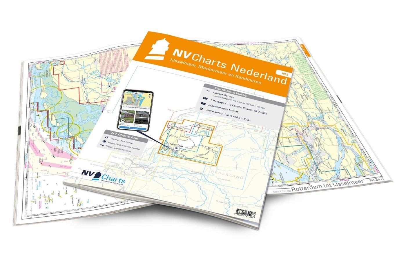
Gebietsvorschau für NV Charts Nederland NL3 - IJsselmeer & Randmeeren öffnen
NV Charts Nederland NL3 - IJsselmeer & Randmeeren
Purchase type: One-time
For a trip through the popular sailing area of the IJsselmeer is the NL3 the right choice. Once you have passed one of the lock gates, nothing stands in the way of an eventful trip. The IJsselmmeer do

Variants from €58.49*
€64.99*
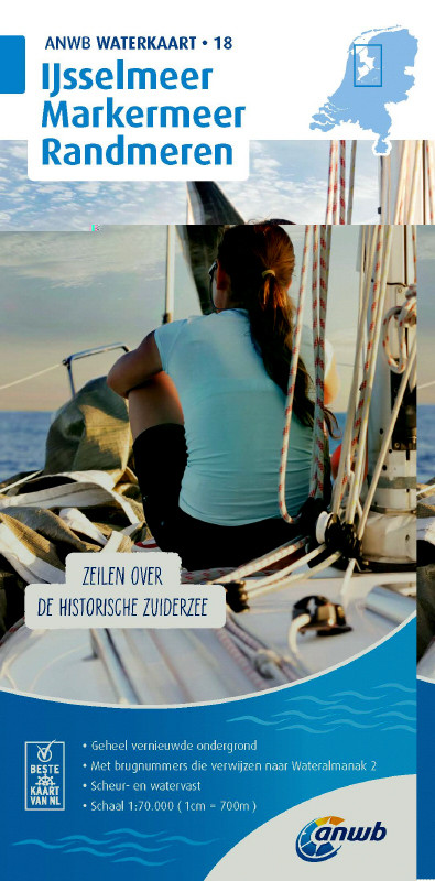
Gebietsvorschau für NV Charts Nederland NL6 - Waterkaart Nederland Noord - Friesland - Arnhem öffnen
NV Charts Nederland NL6 - Waterkaart Nederland Noord - Friesland - Arnhem
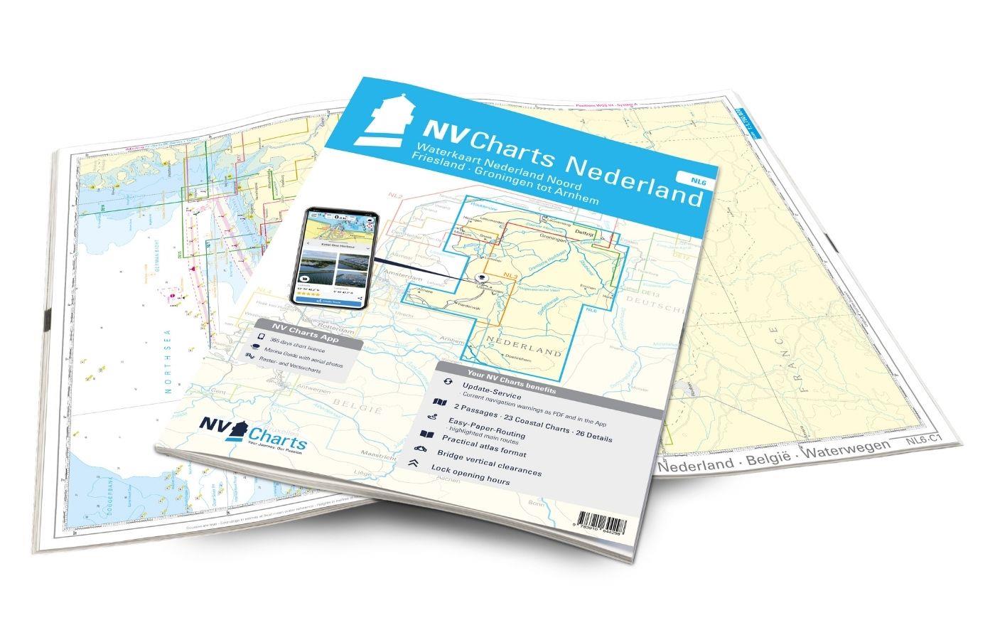
Inland water chart NetherlandsFor the northern part of the inland waters of the Netherlands, the NL6 Waterkaart Nederland North a practical and handy travelling companion. Together with the NL7 (Water

€64.99*
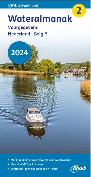
Gebietsvorschau für ANWB Wateralmanak 2 (Brückenzeiten) öffnen
ANWB Wateralmanak 2 (Brückenzeiten)
Wateralmanak 2 Sound signals of the Inland Police (BPR) and the Rhine Police (RPR)This almanac includes the opening hours of all bridges and locks in the Netherlands and Belgium. The&nb

€24.99*
Gebietsvorschau für Nautische Reisetipps Watteninseln Niederlande öffnen
Nautische Reisetipps Watteninseln Niederlande
A practical guide for recreational skippers sailing on their own keel in the Dutch Wadden Sea.Kilimanjaro in Tanzania the Great Barrier Reef in Australia and the Dutch Wadden Sea have at least tw

€19.95*
Logbuch / Schiffstagebuch NV
The NV Logbook / Ships Diary with the officially prescribed page numbering is clear and practical.The clear division for navigation data with time course sm and remarks on the course of the voyage suc

€15.90*

Related products to this item

Gebietsvorschau für NV Charts Nederland NL3 - IJsselmeer & Randmeeren öffnen
NV Charts Nederland NL3 - IJsselmeer & Randmeeren
For a trip through the popular sailing area of the IJsselmeer is the NL3 the right choice. Once you have passed one of the lock gates, nothing stands in the way of an eventful trip. The IJsselmmeer do

Variants from €58.49*
€64.99*
Gebietsvorschau für Nautische Reisetipps Watteninseln Niederlande öffnen
Nautische Reisetipps Watteninseln Niederlande
A practical guide for recreational skippers sailing on their own keel in the Dutch Wadden Sea.Kilimanjaro in Tanzania the Great Barrier Reef in Australia and the Dutch Wadden Sea have at least tw

€19.95*
Gebietsvorschau für ANWB Wateralmanak 2 (Brückenzeiten) öffnen
ANWB Wateralmanak 2 (Brückenzeiten)
Wateralmanak 2 Sound signals of the Inland Police (BPR) and the Rhine Police (RPR)This almanac includes the opening hours of all bridges and locks in the Netherlands and Belgium. The&nb

€24.99*
Gebietsvorschau für Törnführer Holland 2 - Das IJsselmeer und die nördlichen Provinzen öffnen
Törnführer Holland 2 - Das IJsselmeer und die nördlichen Provinzen
District information for the IJsselmeer and the northern part of the Netherlands with trip descriptionsThe Trip Guide Holland 2 gives valuable nautical information on the inland waters in the north of

€39.90*
Gebietsvorschau für Törnführer Holland 1 öffnen
Törnführer Holland 1
Revierinformationen für den südlichen Teil der Niederlande mit TörnbeschreibungenDer Törnführer Holland 1 gibt wertvolle nautische Informationen zu den Binnengewässern im Südteil der Niederlande und i

€39.90*

Similar products

Gezeitentafeln 2025: Europäische Gewässer
Nautical publication with all tidal information and its forecasts as well as instructions for use for the tidal ranges in Europe. The "Gezeitentafeln 2025: Europäische Gewässer" (Tide Tables for

€28.00*
Gebietsvorschau für Törnführer Holland 1 öffnen
Törnführer Holland 1
Revierinformationen für den südlichen Teil der Niederlande mit TörnbeschreibungenDer Törnführer Holland 1 gibt wertvolle nautische Informationen zu den Binnengewässern im Südteil der Niederlande und i

€39.90*
Gebietsvorschau für ANWB Staande Mastroute öffnen
ANWB Staande Mastroute
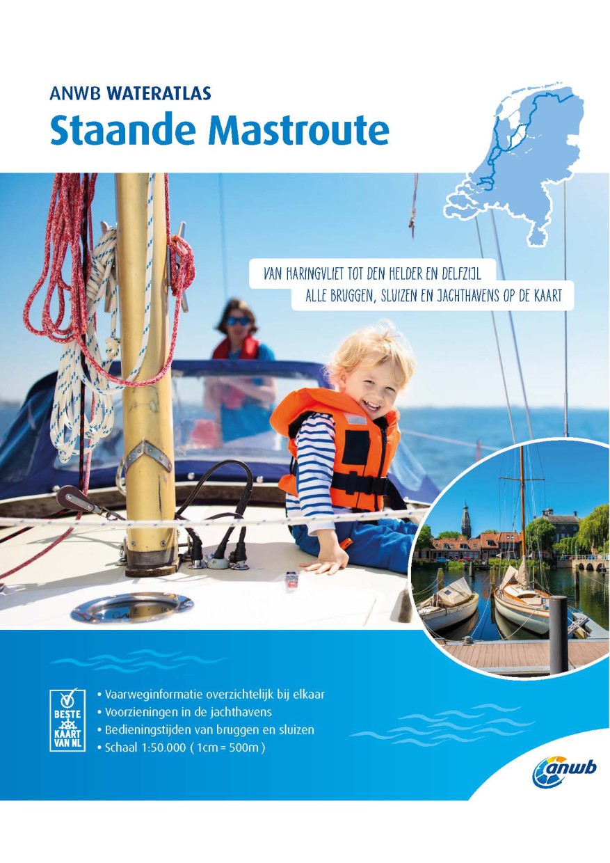
ANWB Wateratlas Stande Mastroute(Softcover approx. 295x245cm) Haringvliet/Eems-Dollard. Includes the inland route to Den Helder.The standing mast route is the alternative to the North Sea route for No

€21.99*
ANWB Wateralmanak 1 2025/2026
Gesetzliche Anforderung & Schiffahrtsregeln für die Niederlande und Belgien Der Wateralmanak 1 ist ein unverzichtbares Handbuch für Bootsfahrer und Wassersportler, die auf den Binne

€22.99*
Reeds Eastern Almanac 2025
Detailed guide to the east coast of England to the Shetland Islands and the North Sea coast of the Netherlands and Belgium.A great aid for watersports enthusiasts in a handy spiral binding. Extracted

€50.10*
Gebietsvorschau für Törnführer Holland 2 - Das IJsselmeer und die nördlichen Provinzen öffnen
Törnführer Holland 2 - Das IJsselmeer und die nördlichen Provinzen
District information for the IJsselmeer and the northern part of the Netherlands with trip descriptionsThe Trip Guide Holland 2 gives valuable nautical information on the inland waters in the north of

€39.90*
Gebietsvorschau für Nautische Reisetipps Watteninseln Niederlande öffnen
Nautische Reisetipps Watteninseln Niederlande
A practical guide for recreational skippers sailing on their own keel in the Dutch Wadden Sea.Kilimanjaro in Tanzania the Great Barrier Reef in Australia and the Dutch Wadden Sea have at least tw

€19.95*
-10 %
The Cruising Almanac 2025
Detailed cruising guide from the Baltic Sea to GibraltarThe Cruising Almanac, an annual harbour guide, covers most of the varied coasts of NW Europe and includes England, Ireland, Scotland, southern N

€52.10* €57.90* (10.02% saved)
Gebietsvorschau für Törnführer Nordseeküste 1; Cuxhaven bis Den Helder öffnen
Törnführer Nordseeküste 1; Cuxhaven bis Den Helder
Cuxhaven to Den HelderFrom the Wadden SeaThe sailing guide North Sea Coast 1 is a classic among sailing guides. The book guides you in detail through the regions ports and picks up on regional feature

€39.90*
Gebietsvorschau für NV Charts Nederland NL3 - IJsselmeer & Randmeeren öffnen
NV Charts Nederland NL3 - IJsselmeer & Randmeeren
For a trip through the popular sailing area of the IJsselmeer is the NL3 the right choice. Once you have passed one of the lock gates, nothing stands in the way of an eventful trip. The IJsselmmeer do

Variants from €58.49*
€64.99*
Gebietsvorschau für Nautische Reisetipps Zeeland / Niederlande öffnen
Nautische Reisetipps Zeeland / Niederlande
The perfect cruising guide for Grevelingen Veerse Meer Oosterschelde WesterscheldeNewcomers as well as those who know the area whether under sail or motor will find useful information and tips for the

€19.95*
Gebietsvorschau für ANWB Wateralmanak 2 (Brückenzeiten) öffnen
ANWB Wateralmanak 2 (Brückenzeiten)
Wateralmanak 2 Sound signals of the Inland Police (BPR) and the Rhine Police (RPR)This almanac includes the opening hours of all bridges and locks in the Netherlands and Belgium. The&nb

€24.99*