EDB 01 Bretagne
Description
La Rance Canal dIlle-et-Rance La Vilaine Le Blavet Le canal de Nantes à Brest LAff LErdre La Sèvre Nantaise
The so-called "Breton canals" were dug at the beginning of the 19th century. The so-called "Breton canals" were dug at the beginning of the 19th century because ships needed a safe inland waterway to avoid the English corsairs who were up to mischief along the Breton coast.
Brittany has two main waterways the north-south axis and the east-west axis. From the Canal dIlle et Rance via the Vilaine River you can get from the north to the south.
Only those bridges in the north of the Canal dIlle et Rance that have a limited clearance are listed in this inland guide. Although the responsible institute IRCIRMON is planning to increase the clearance height until this happens you should take extra care with boats that are more than 2.5 m above the waterline.
You can get from the east to the west via the Nantes-Brest Canal. The canal consists of a number of canalised rivers and artificial sections. The dam at Lac de Guerlédan divides the canal into two parts and the middle section is also closed to navigation.
Although the SMATAH association has put a lot of work into improving navigation conditions very few ships navigate the western part of the canal.
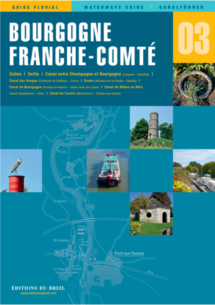
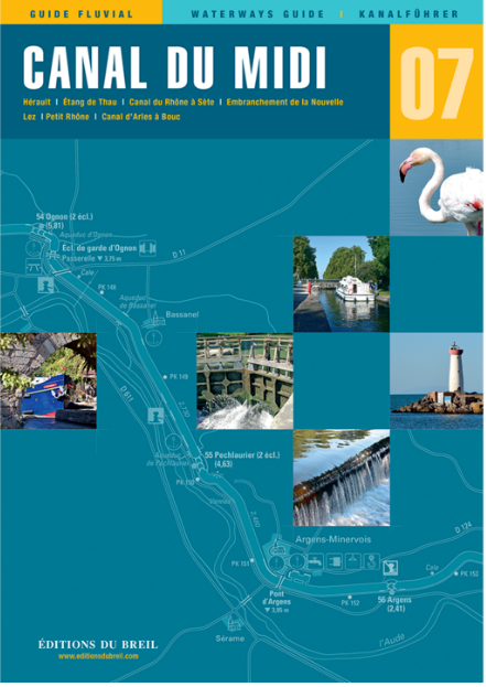
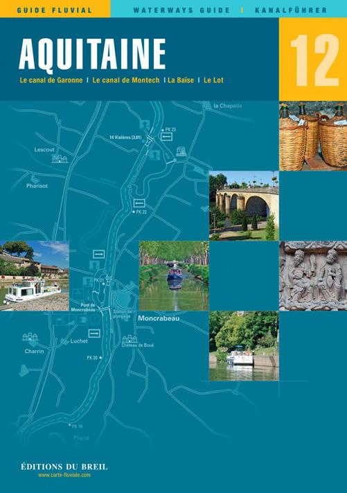
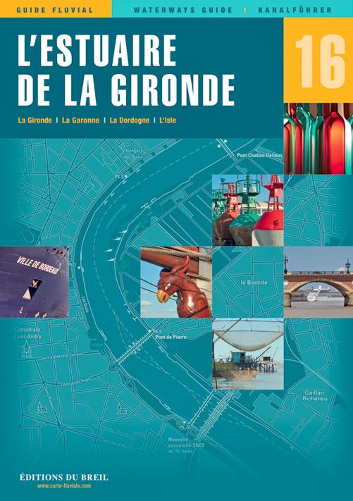
Scale 1:50000/1:25000. Trilingual "Guide fluvial" (frz./engl./dt.) by Editions du Breil. Colour map drawings throughout text includes nautical and tourist information.
| Format: | Softcover / Taschenbuch |
|---|---|
| Language: | Deutsch, Französisch, Englisch |
| Region: | Europa, Frankreich, Binnen |
With the help of our area preview, you can get an impression of which geographical region the product deals with or which areas a nautical chart covers.
Related products to this item
Products near this article
Reviews
Login


