
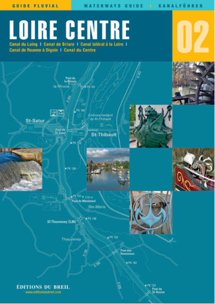
EDB 02 Loire/Nivernais
Description
Canal du Loing Canal de Briare Canal latéral à la Loire Canal de Roanne à Digoin Canal du Centre Canal du Nivernais
With this inland guide you will discover besides the famous seven-step lock staircase in Rogny numerous remains of early navigation from the 17th century. The canal guide focuses on the "Route Bourbonnaise". It is the southernmost waterway between the Seine Valley and the Rhône Valley and also the shortest.
The tour starts on the Canal du Loing to the town of Montargis. From here the route continues on the Canal de Briare - the first Erapean canal with a crest section - followed by the Loire side canal. The wide spacing of the few locks makes navigation easy.
The journey ends on the Canal du Centre. The canal was formerly used by industry and is now mainly used for leisure navigation.
The inland guide also includes two canals that were closed to navigation for a time: The Canal de Berry and the Canal dOrléans are shown on a small scale.
Scale 1:50000/1:25000. trilingual "Guide fluvial" (frz./engl./dt.) by Editions du Breil. Colour map drawings throughout text includes nautical and tourist information.
| Format: | Softcover / Taschenbuch |
|---|---|
| Language: | Deutsch, Französisch, Englisch |
| Region: | Europa, Frankreich, Binnen |
With the help of our area preview, you can get an impression of which geographical region the product deals with or which areas a nautical chart covers.
Related products to this item
Related products to this item

Reviews
Login