EDB 05 Lot
Description
Navigable Lot between Aiguillon and Saint-Vite and between Luzech and Larnagol
Until the end of the 19th century the Lot was officially navigable for over 400 kilometres. At the beginning of the 20th century shipping declined sharply and in 1926 the river was completely removed from the list of navigable waterways.
In 1991 the river between Luzech and Saint-Cirq-Lapopie was reopened for leisure navigation and in 2007 the navigable section was extended by 10 km and now extends to Larnagol. At this point one of the most beautiful European waterways awaits: impressive rocky cliffs surround the river and on the banks isolated villages with houses built of yellow natural stone embellish the landscape.
In the 1990s the last 60 km to the confluence with the Garonne were rehabilitated and the section between Castelmoron and Villeneuve has also been a major water construction site for several years as two large new locks are being built on this stretch.
The section in the Aveyron department will also soon be navigable again. When it is Édition du Breil will produce another map to add to this inland guide.
The Lot is classified as a third category waterway making it suitable for inexperienced recreational boaters. In spring however it has proved worthwhile to always follow the weather forecast as navigation is sometimes quite difficult at high tide.
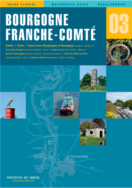
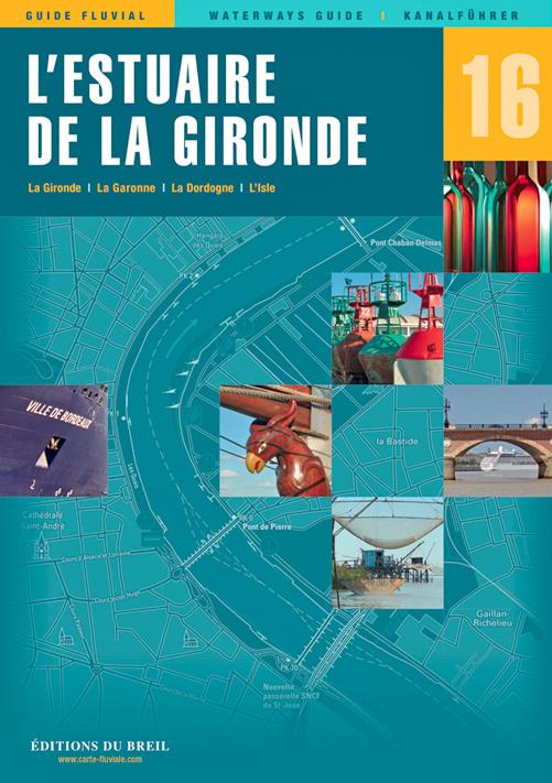
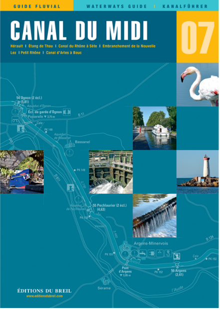
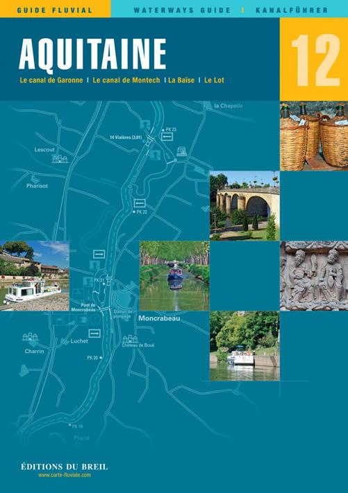
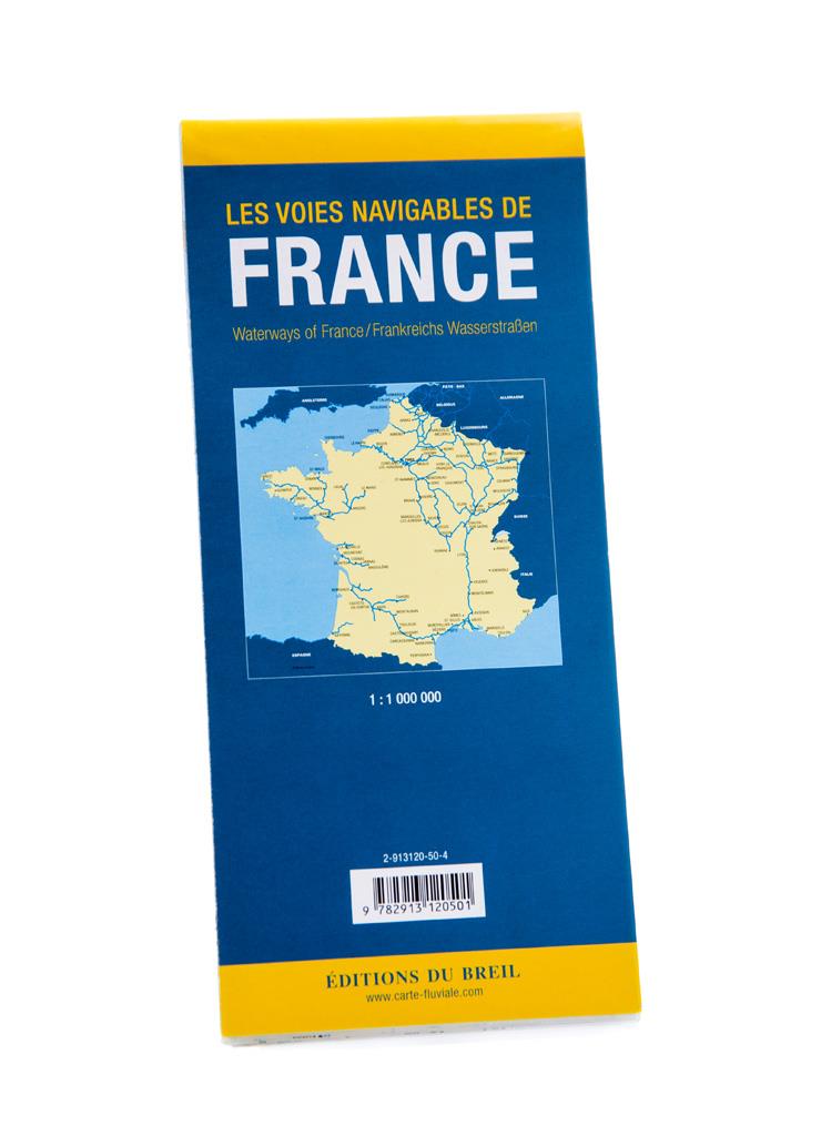
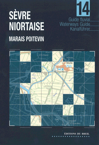
Scale 1:50000/1:25000 2020. Trilingual "Guide fluvial" (frz./engl./dt.) by Editions du Breil. Colour map drawings throughout text includes nautical and tourist information.
| Format: | Softcover / Taschenbuch |
|---|---|
| Language: | Deutsch, Französisch, Englisch |
| Region: | Europa, Frankreich, Binnen |
With the help of our area preview, you can get an impression of which geographical region the product deals with or which areas a nautical chart covers.
Related products to this item
Products near this article
Reviews
Login


