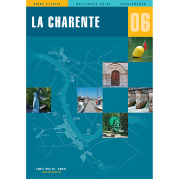
EDB 06 Charente

€21.00*


Product number: 22677

Description

The entire navigable Charente between Angoulême and the Atlantic

The Charente is a coastal river 361 km long and is navigable on the section between the city of Angoulême and the Atlantic Ocean. The river is divided into two sections: The canalised section between Angoulême and Saint-Savinien where you will find 21 locks and the section between Saint-Savinien and the Atlantic Ocean without locks. Up to Rochefort the river is navigable downstream for inland vessels.

20 of the 21 locks are automated. The only exception is the lock at Saint-Savinien.
The advantage of automatic operation is that the locks are rarely closed even in very dry and low water. In high summer however the draught above Jarnac is limited.

In this waterway guide the focus is mainly on the estuary and so you will find detailed information about the town of Fouras and the coastal town of Rochefort. In addition you will also find a map of the river Boutonne.

Scale 1:50000/1:25000. Trilingual "Guide fluvial" (frz./engl./dt.) by Editions du Breil. Colour map drawings throughout the text contains nautical and tourist information.


Format: Softcover / Taschenbuch
Language: Deutsch, Französisch, Englisch
Region: Europa, Frankreich, Binnen
Area preview

With the help of our area preview, you can get an impression of which geographical region the product deals with or which areas a nautical chart covers.

Related products to this item

Related products to this item

Gebietsvorschau für EDB 19 La Marne öffnen
EDB 19 La Marne
Marne canal latéral à la Marne canal de lAisne à la Marne canal entre Champagne et Bourgogne.There are several good reasons why you should choose the "Route Marnaise" when travelling between northern

€22.00*

Reviews

0 of 0 reviews

Leave a review!

Share your experiences with other customers.


Gebietsvorschau für EDB 04 Alsace/Lorraine öffnen
EDB 04 Alsace/Lorraine
Rhine-Marne Canal Rhine-Rhône Canal (northern section) Moselle Vosges Canal Canal de lEst Saar-Coal Canal and the navigable Saar up to SaarbrückenThrough the waterway network in Alsace-Lorraine you ca

€22.00*
Gebietsvorschau für EDB 17 La Meuse öffnen
EDB 17 La Meuse
Ardennes Canal Meuse Canal navigable MeuseThis canal guide maps the Meuse valley from Troussey to Maastricht in Belgium. From Troussey to Sedan you sail on the Meuse Canal from Sedan you navigate on t

€22.00*
Gebietsvorschau für EDB 18 Le Rhone öffnen
EDB 18 Le Rhone
Le Petit Rhône canal de Barcarin canal Saint-Louis.The Rhône is the "grand fleuve" (big river) of French Provence. The partly very wide and powerful river should be enjoyed with caution especially whe

€24.00*
Gebietsvorschau für EDB 09 Canal du Rhone au Rhin öffnen
EDB 09 Canal du Rhone au Rhin
Rhine-Rhône Canal Embranchement de Belfort Canal de HuningueThe Rhine-Rhône Canal connects the coasts of the Mediterranean and the North Sea and is divided into several sections. You start with the st

€22.00*
Gebietsvorschau für EDB 12 Aquitaine öffnen
EDB 12 Aquitaine
Garonne Canal de Garonne Baïse Lower LotIn the middle of the 19th century several tributaries of the Garonne were still used as water transport routes. However most of these rivers were removed from t

€22.00*
Gebietsvorschau für EDB 19 La Marne öffnen
EDB 19 La Marne
Marne canal latéral à la Marne canal de lAisne à la Marne canal entre Champagne et Bourgogne.There are several good reasons why you should choose the "Route Marnaise" when travelling between northern

€22.00*
Gebietsvorschau für EDB 01 Bretagne öffnen
EDB 01 Bretagne
La Rance Canal dIlle-et-Rance La Vilaine Le Blavet Le canal de Nantes à Brest LAff LErdre La Sèvre NantaiseThe so-called "Breton canals" were dug at the beginning of the 19th century. The so-called "B

€22.00*
Gebietsvorschau für EDB 07 Canal du Midi öffnen
EDB 07 Canal du Midi
Hérault étang de Thau canal du Rhône à Sète embranchement de la Nouvelle Lez Petit Rhône canal dArles à BoucThe Canal du Midi planned and designed by Pierre-Paul Riquet is best known for its large num

€22.00*
Gebietsvorschau für EDB 02 Loire/Nivernais öffnen
EDB 02 Loire/Nivernais
Canal du Loing Canal de Briare Canal latéral à la Loire Canal de Roanne à Digoin Canal du Centre Canal du NivernaisWith this inland guide you will discover besides the famous seven-step lock staircase

€22.00*
Gebietsvorschau für EDB 05 Lot öffnen
EDB 05 Lot
Navigable Lot between Aiguillon and Saint-Vite and between Luzech and LarnagolUntil the end of the 19th century the Lot was officially navigable for over 400 kilometres. At the beginning of the 20th c

€21.00*
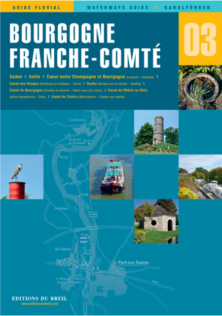
Gebietsvorschau für EDB 03 Bourgogne/Franche Compté öffnen
EDB 03 Bourgogne/Franche Compté
Saône, Seille, Canal entre Champagne et Bourgogne (Langres - Heuilley), Canal des Vosges (Fontenoy-le-Château bis Corre), Doubs, Canal de Bourgogne (Pouilly-en-Auxois bis Saint-Jean-de-Losne), Canal d

€22.00*
Gebietsvorschau für EDB 22 Rhin öffnen
EDB 22 Rhin
Le Rhin le Grand Canal dAlsace le Haut Rhin le canal de Colmar Le canal de Huningue le canal du Rhône au Rhin branche nordThe Rhine rises in the Gotthard massif in the Swiss Alps and flows through Swi

€22.00*