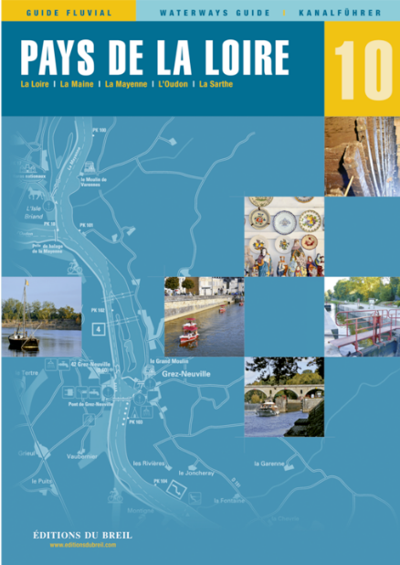
EDB 10 Pays de la Loire

€22.00*


Product number: 22680

Description

Sarthe Mayenne Oudon Maine and Loire between Nantes and Angers

The rivers of the Anjou region and the Breton canals are joined by the Loire. It is officially navigable on an 80 km section between Nantes and Bouchemaine.

As the current is very strong at this point your engine should have a certain minimum strength to be able to overcome the sometimes difficult passages.
But due to the good buoyage the canal can also be navigated by ships with a large draught.

The largest right-hand tributaries of the Loire are the Sarthe and the Mayenne. Both are now used exclusively by recreational boaters and are easy to navigate due to the small locks which are mainly operated by lock keepers.

This inland guide lists all the modes of operation of the locks closure times due to maintenance work as well as information on the clearance height of the bridges which is severely limited above Laval.

La Sarthe La Mayenne LOudon La Maine La Loire. Scale 1:50000/1:25000. trilingual "Guide fluvial" (frz./engl./dt.) by Editions du Breil. Colour map drawings throughout text includes nautical and tourist information.


Format: Softcover / Taschenbuch
Language: Deutsch, Französisch, Englisch
Region: Europa, Frankreich, Binnen
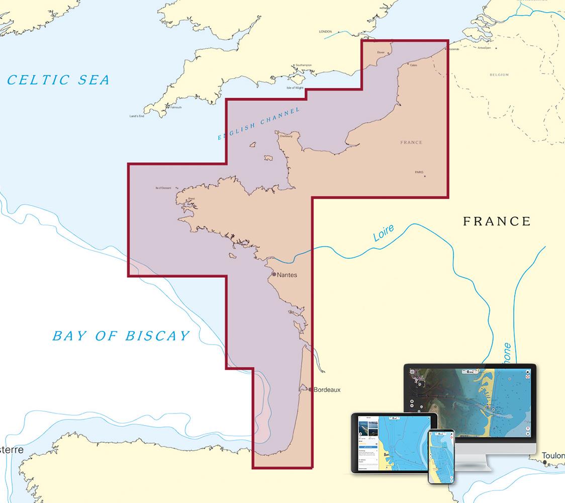
Area preview

With the help of our area preview, you can get an impression of which geographical region the product deals with or which areas a nautical chart covers.

Related products to this item

Related products to this item

EDB 06 Charente
The entire navigable Charente between Angoulême and the AtlanticThe Charente is a coastal river 361 km long and is navigable on the section between the city of Angoulême and the Atlantic Ocean. The ri

€21.00*
EDB 01 Bretagne
La Rance Canal dIlle-et-Rance La Vilaine Le Blavet Le canal de Nantes à Brest LAff LErdre La Sèvre NantaiseThe so-called "Breton canals" were dug at the beginning of the 19th century. The so-called "B

€22.00*
EDB 02 Loire/Nivernais
Canal du Loing Canal de Briare Canal latéral à la Loire Canal de Roanne à Digoin Canal du Centre Canal du NivernaisWith this inland guide you will discover besides the famous seven-step lock staircase

€22.00*
EDB 16 L'Estuaire de La Gironde
Gironde Garonne Canal de Garonne Dordogne IsleAlthough the title of this waterway guide is "Estuaire de la Gironde" it also covers the Garonne the Dordogne and the Isle.Ships that want to reach the Me

€22.00*
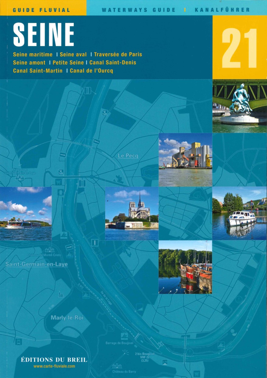
EDB 21 La Seine
Seine maritime Seine aval traversée de Paris Seine amont Petite Seine canal Saint-Denis canal Saint-Martin canal de lOurcqThe Seine is after the Loire Frances second longest river and crosses the coun

€25.50*
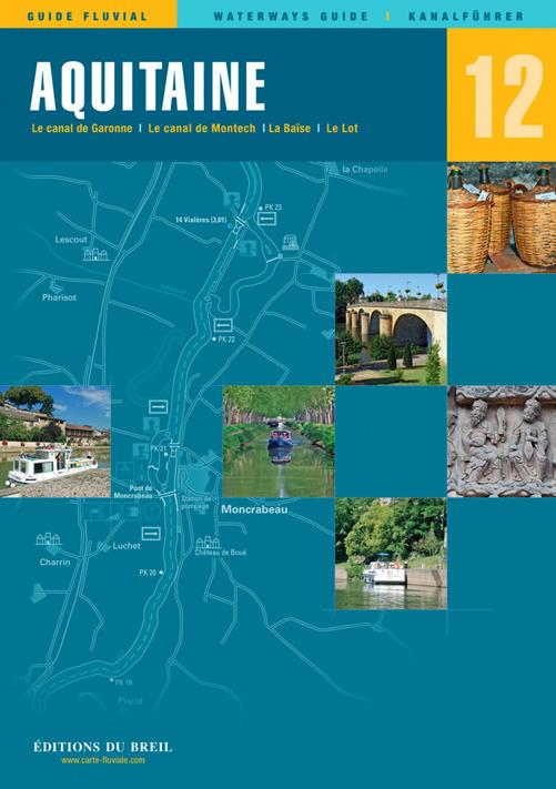
EDB 12 Aquitaine
Garonne Canal de Garonne Baïse Lower LotIn the middle of the 19th century several tributaries of the Garonne were still used as water transport routes. However most of these rivers were removed from t

€22.00*
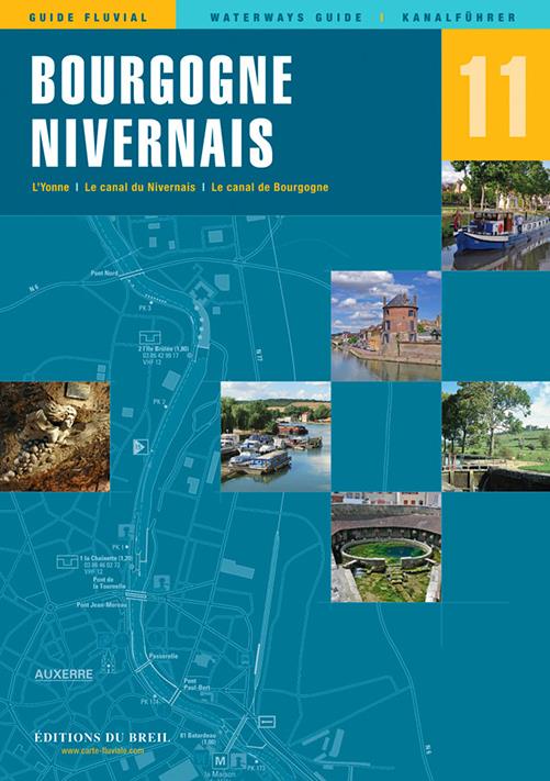
EDB 11 Bourgogne/Nivernais
Burgundy Canal Yonne and Canal du Nivernais.This inland guide describes the entire navigable section of the Yonne River.Although the Yonne carries more water than the Seine at the level of Montereau o

€22.00*

Products near this article

Products near this article

NV Frankreich Plotterseekarten
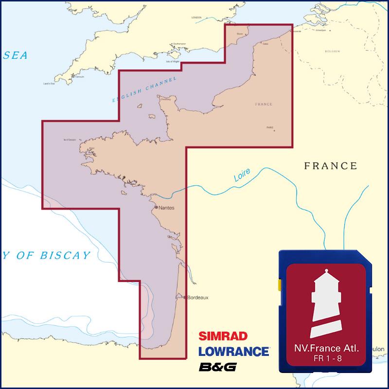
Maps & Port plans of the series FR1 FR 2 FR 3 FR 4 FR 5 FR 6 FR 7 FR With these plotter chips the entire Atlantic coast of France is covered as well as the Channel Islands and the Gironde to

€129.99*
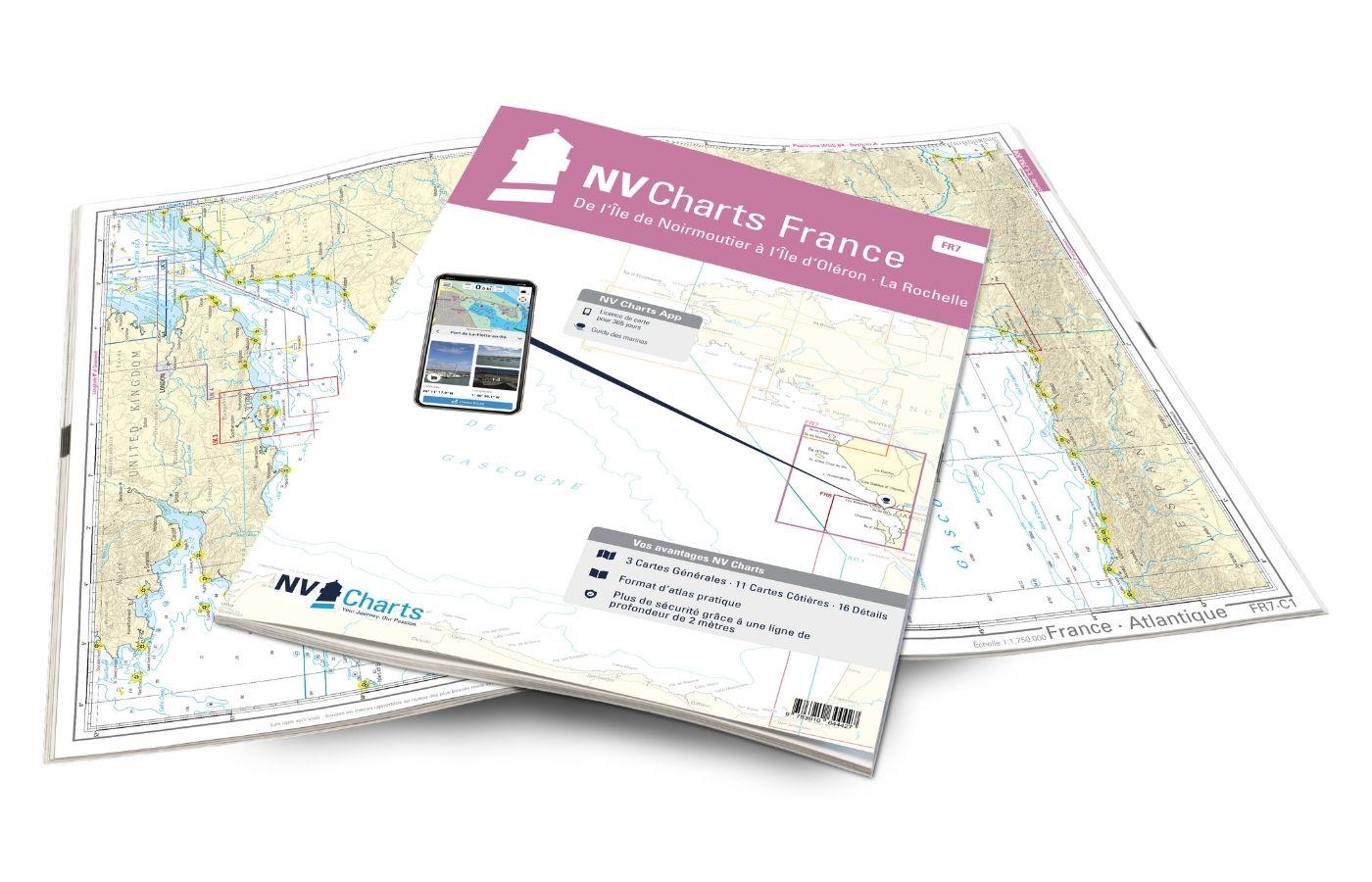
NV Charts France FR7 - Îles de Noirmoutier à Oléron - La Rochelle
With the NV Charts France FR7 Atlas discover the French Atlantic coast. Thanks to the clear layout, the recreational skipper can quickly find approaches, ports and anchorages and is informed of naviga

€64.99*
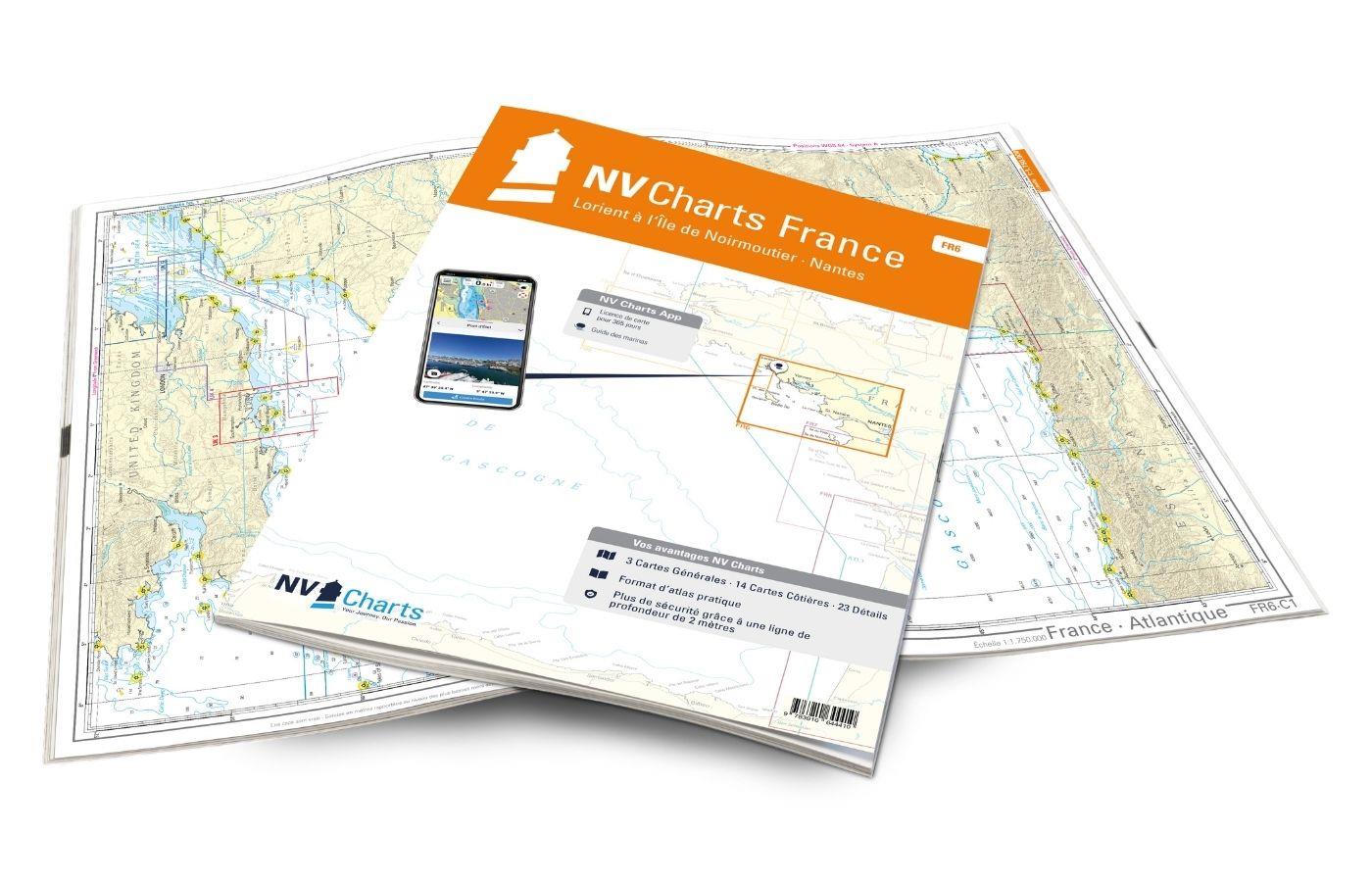
NV Charts France FR6 - Lorient à Île de Noirmoutier - Nantes
With the NV Charts France FR6 off to the Cité de la Voile, the city of sailing! Thanks to the clear layout, the sports skipper can quickly find approaches, harbours and anchorages and is informed of n

€64.99*
NV Charts App - France Atlantic Coast
NV Charts App - France Atlantic Coast[nvtext_abo_app_iap]This product can only be used in the NV Charts app, it is not compatible with other navigation programs.

€49.90*
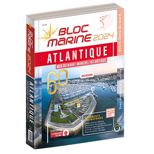
Bloc Marine : Atlantique
The Bloc Marine : AtlantiqueFor accurate information on port areas safety at sea and legal requirements in recreational boating the Bloc Marine Atlantique is a first-class travel companion. It include

€36.00*
EDB 01 Bretagne
La Rance Canal dIlle-et-Rance La Vilaine Le Blavet Le canal de Nantes à Brest LAff LErdre La Sèvre NantaiseThe so-called "Breton canals" were dug at the beginning of the 19th century. The so-called "B

€22.00*
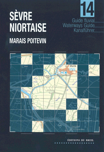
EDB 14 Sèvre Niortaise
Sèvre Niortaise Canal de la Jeune Autize Canal de la Vieille Autize Canal de Reth Canal du MignonThis inland guide covers the entire Sèvre Niortaise. Although this river is navigable for large vessels

€14.90*
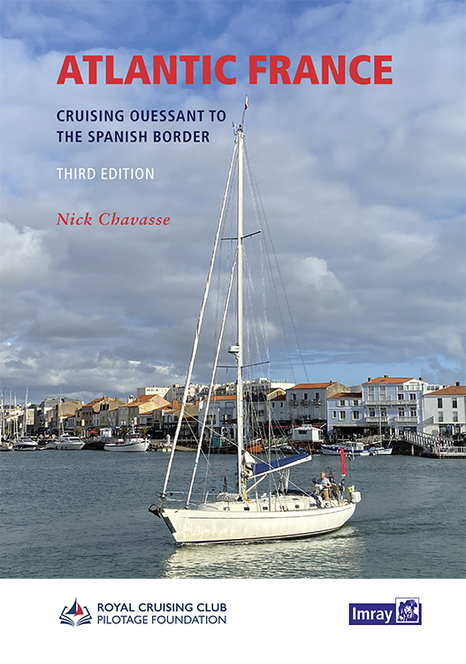
Atlantic France
For those water sports enthusiasts who would like to explore the French Atlantic coast this cruising guide is an extremely helpful travel companion. It covers the coast from lAberwrach at the north-we

€63.50*

Reviews

0 of 0 reviews

Leave a review!

Share your experiences with other customers.