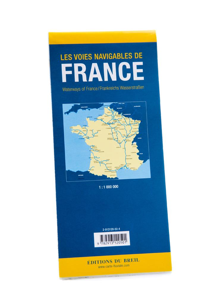


Les voies navigables de France
Description
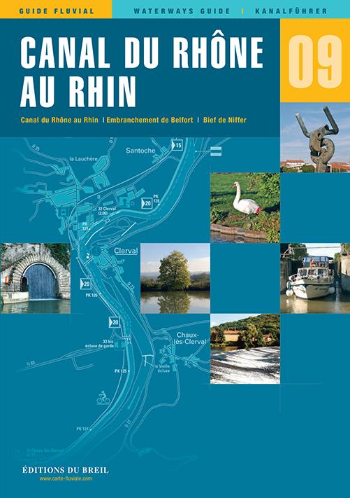
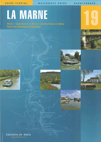
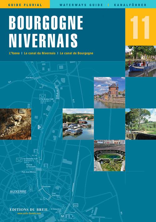
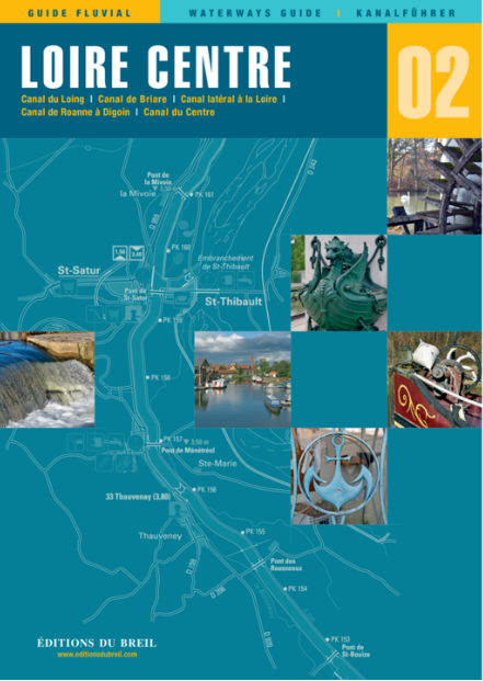
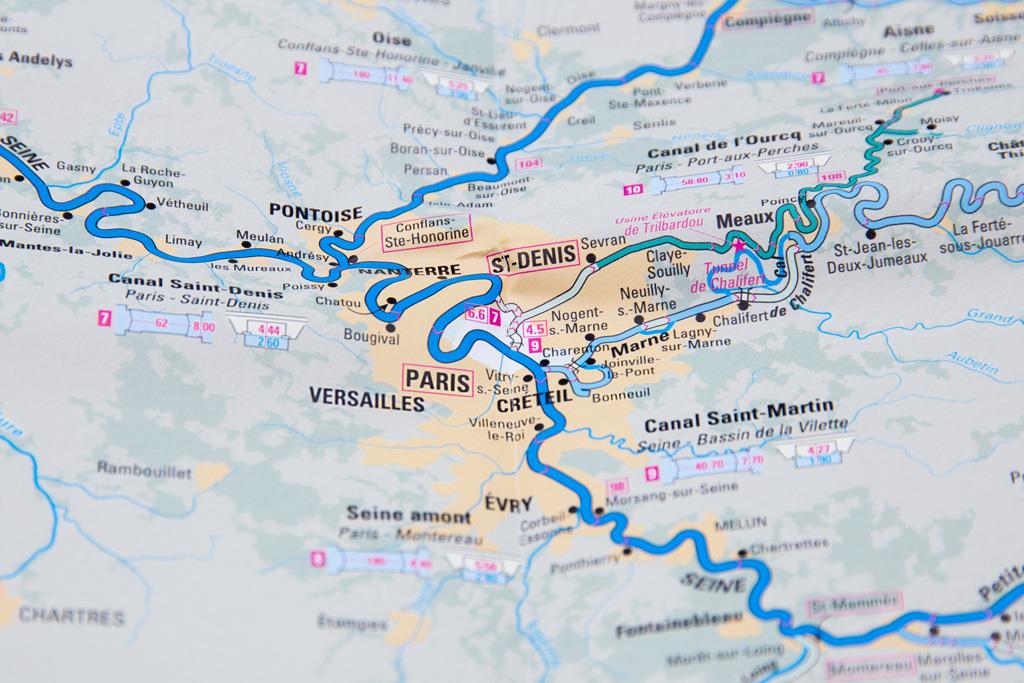
This map shows all the rivers and canals of mainland France at a scale of 1 : 1 250 000. For each waterway all details such as length water depth and headroom are given. All locks are also included. Colour print. Mountains and valleys in relief.
This map is indispensable for the pleasure boater looking for the best course through the French waterway network as well as for anyone who wants to plan their holiday on the water.

| Language: | Französisch |
|---|---|
| Region: | Europa, Frankreich, Binnen |
| Size: | Faltkarte |
With the help of our area preview, you can get an impression of which geographical region the product deals with or which areas a nautical chart covers.
Related products to this item
Related products to this item
Products near this article
Products near this article
Reviews
0 of 0 reviews
Login

