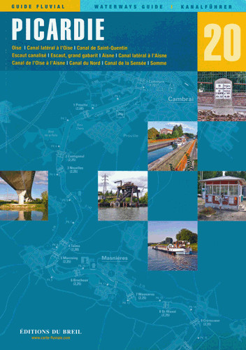
EDB 20 Picardie

€25.50*


Product number: 22690

Description

Oise Canal latéral à lOise Canal de Saint-Quentin Escaut canalisé Escaut grand gabarit Aisne Canal latéral à lAisne Canal de lOise à lAisne Canal du Nord Canal de la Sensée Somme.

The Picardy landscape is criss-crossed by countless navigable waterways and represents one of the densest waterway networks in all of France.

As the link between the north and Paris there is still a lot of commercial traffic on these canals today but there are also many leisure boaters between Paris and Belgium.

If you are coming from the Paris area start your trip on the Oise. It flows down the valley into the Seine and is one of its most important tributaries. On the Oise too you will encounter many cranes but there are many harbours and moorings where pleasure boaters are always welcome.

At the end of the Oise you have to choose between two canals for the onward journey: The old Canal Saint-Quentin and the Canal du Nord.
The Canal Saint-Quentin with its many tunnels is definitely the more exciting of the two but on the Canal du Nord which is a compromise between the Freycinet Canals and the large Belgian canals you will make faster progress.
Another route runs along the Sambre and the Meuse but it is currently closed to navigation.

The Somme is undoubtedly Picardys most interesting waterway for tourists. There is almost no commercial traffic on this river which is a good alternative to the Seine for leisure boaters from England. The towns of Saint-Valéry Abbeville and Amiens provide exciting stages on this route. If you sail to these towns you will also escape the strong influence of the tides.

The Aisne - which leads east and into the valleys of the Marne and Meuse - and its canals are also among the waterways of Picardy. Navigating this river is a good way to avoid Paris and the numerous excursion boats.
The Aisne is rather unknown to recreational boaters and is also little used by barges.

Scale 1:50000/1:25000 2015. Trilingual "Guide fluvial" (frz./engl./dt.) by Editions du Breil. Colour map drawings throughout the text contains nautical and tourist information.


Format: Softcover / Taschenbuch
Language: Deutsch, Französisch, Englisch
Region: Europa, Frankreich, Binnen
Area preview

With the help of our area preview, you can get an impression of which geographical region the product deals with or which areas a nautical chart covers.

Reviews

0 of 0 reviews

Leave a review!

Share your experiences with other customers.


Gebietsvorschau für EDB 04 Alsace/Lorraine öffnen
EDB 04 Alsace/Lorraine
Rhine-Marne Canal Rhine-Rhône Canal (northern section) Moselle Vosges Canal Canal de lEst Saar-Coal Canal and the navigable Saar up to SaarbrückenThrough the waterway network in Alsace-Lorraine you ca

€22.00*
Gebietsvorschau für EDB 17 La Meuse öffnen
EDB 17 La Meuse
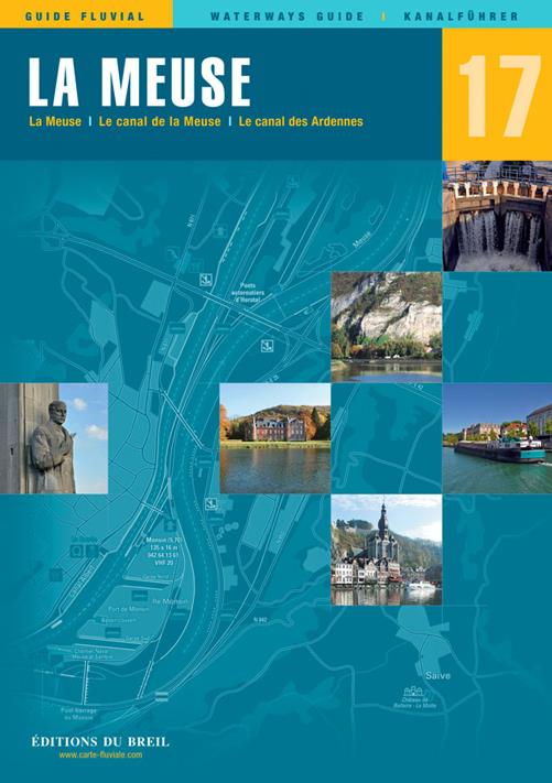
Ardennes Canal Meuse Canal navigable MeuseThis canal guide maps the Meuse valley from Troussey to Maastricht in Belgium. From Troussey to Sedan you sail on the Meuse Canal from Sedan you navigate on t

€22.00*
Gebietsvorschau für EDB 18 Le Rhone öffnen
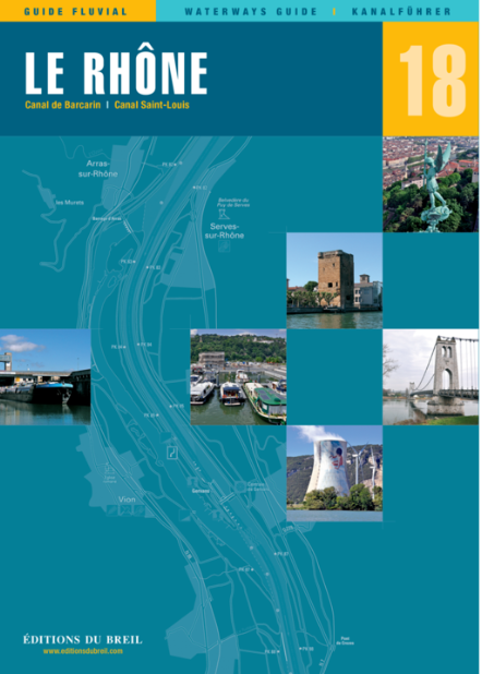
EDB 18 Le Rhone
Le Petit Rhône canal de Barcarin canal Saint-Louis.The Rhône is the "grand fleuve" (big river) of French Provence. The partly very wide and powerful river should be enjoyed with caution especially whe

€24.00*
Gebietsvorschau für EDB 09 Canal du Rhone au Rhin öffnen
EDB 09 Canal du Rhone au Rhin
Rhine-Rhône Canal Embranchement de Belfort Canal de HuningueThe Rhine-Rhône Canal connects the coasts of the Mediterranean and the North Sea and is divided into several sections. You start with the st

€22.00*
Gebietsvorschau für EDB 10 Pays de la Loire öffnen
EDB 10 Pays de la Loire
Sarthe Mayenne Oudon Maine and Loire between Nantes and AngersThe rivers of the Anjou region and the Breton canals are joined by the Loire. It is officially navigable on an 80 km section between Nante

€22.00*
Gebietsvorschau für EDB 06 Charente öffnen
EDB 06 Charente
The entire navigable Charente between Angoulême and the AtlanticThe Charente is a coastal river 361 km long and is navigable on the section between the city of Angoulême and the Atlantic Ocean. The ri

€21.00*
Gebietsvorschau für EDB 14 Sèvre Niortaise öffnen
EDB 14 Sèvre Niortaise
Sèvre Niortaise Canal de la Jeune Autize Canal de la Vieille Autize Canal de Reth Canal du MignonThis inland guide covers the entire Sèvre Niortaise. Although this river is navigable for large vessels

€14.90*
Gebietsvorschau für EDB 12 Aquitaine öffnen
EDB 12 Aquitaine
Garonne Canal de Garonne Baïse Lower LotIn the middle of the 19th century several tributaries of the Garonne were still used as water transport routes. However most of these rivers were removed from t

€22.00*
Gebietsvorschau für EDB 19 La Marne öffnen
EDB 19 La Marne
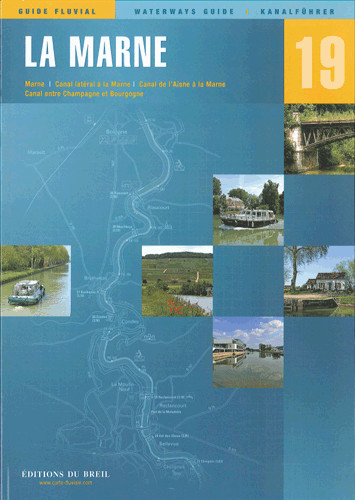
Marne canal latéral à la Marne canal de lAisne à la Marne canal entre Champagne et Bourgogne.There are several good reasons why you should choose the "Route Marnaise" when travelling between northern

€22.00*
Gebietsvorschau für EDB 11 Bourgogne/Nivernais öffnen
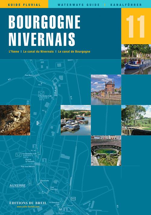
EDB 11 Bourgogne/Nivernais
Burgundy Canal Yonne and Canal du Nivernais.This inland guide describes the entire navigable section of the Yonne River.Although the Yonne carries more water than the Seine at the level of Montereau o

€22.00*
Gebietsvorschau für EDB 01 Bretagne öffnen
EDB 01 Bretagne
La Rance Canal dIlle-et-Rance La Vilaine Le Blavet Le canal de Nantes à Brest LAff LErdre La Sèvre NantaiseThe so-called "Breton canals" were dug at the beginning of the 19th century. The so-called "B

€22.00*
EDB 15 Nord-Pas-de-Calais
The two departments of Nord and Pas-de-Calais have a dense network of about 500 km of navigable waterways. These rivers and canals have been navigated by smaller and larger merchant ships for centurie

€25.50*