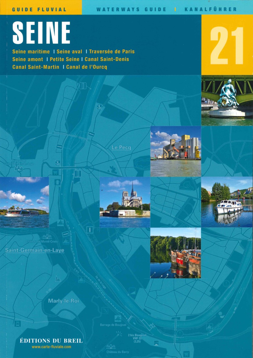
EDB 21 La Seine
Description
Seine maritime Seine aval traversée de Paris Seine amont Petite Seine canal Saint-Denis canal Saint-Martin canal de lOurcq
The Seine is after the Loire Frances second longest river and crosses the country from east to west over a length of more than 700 km.
The Seine rises in the department of Côte-dOr. A wide variety of sacred objects have been found at this site which serve as evidence that the goddess Sequana was once worshipped here.
The last kilometres of the Seine between Nogent and Marcilly are closed to navigation despite renovation work on locks and bridges. Nevertheless the section is featured in this inland guide to allow lovers of historic canals to perhaps explore the section on the towpath.
If you want to avoid the heavy traffic in Paris you can avoid it via the Canal Saint-Denis and the Canal Saint-Martin. Both are covered in this canal guide. The Canal de lOurcq is also featured but this is only navigable for small watercraft.
While commercial traffic on the Seine has indeed increased in recent years there is still plenty of room on the water for all traffic and the large boat locks are also suitable for recreational boating.
We can only recommend a trip on this beautiful river.
Scale 1:60000/1:50000/1:25000/1:15000. Trilingual "Guide fluvial" (frz./engl./dt.) by Editions du Breil. Colour map drawings throughout the text contains nautical and tourist information.
| Format: | Softcover / Taschenbuch |
|---|---|
| Language: | Deutsch, Französisch, Englisch |
| Region: | Europa, Frankreich, Binnen |
With the help of our area preview, you can get an impression of which geographical region the product deals with or which areas a nautical chart covers.
Related products to this item
Products near this article
Reviews
Login

