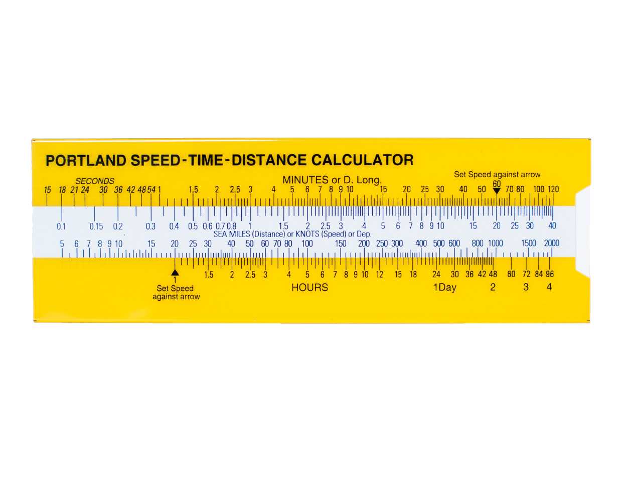
Portland Speed-Time-Distance Calculator 655.31

€11.40*


Product number: 22922

Description

Portland Speed-Time-Distance-Calculator.

With the help of the Portland Speed-Time-Distance-Calculator it is possible to determine the distance travelled at any time for a given speed. Likewise the required speed  for a distance at a given time can be determined.  Other units of measurement can be used instead of nautical miles.

In addition it is possible to determine the corresponding distance between longitudes depending on the latitude.


Related products to this item

Related products to this item

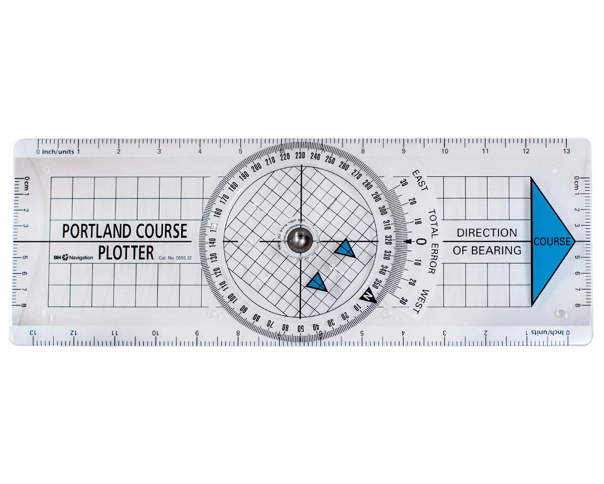
Portland Course Plotter 655.32
(Formerly: Breton plotter) Easy-to-use course device with rotating rose. It is placed in the direction of the course or bearing and the grid of the rose is turned parallel to the nearest meridian or p

€22.90*
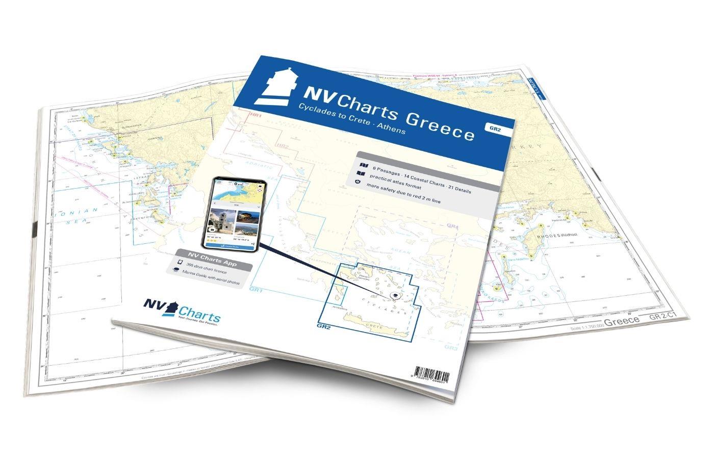
NV Charts Greece GR2 - Cyclades to Crete & Athens
Our pack of charts GR2 takes you from the Cyclades in the Ägäische Sea to Crete. Thanks to the clear layout, the recreational skipper can quickly find approaches, harbours and anchorages and is i

€74.99*
Logbuch / Schiffstagebuch NV
The NV Logbook / Ships Diary with the officially prescribed page numbering is clear and practical.The clear division for navigation data with time course sm and remarks on the course of the voyage suc

€15.90*
NV Brillentuch
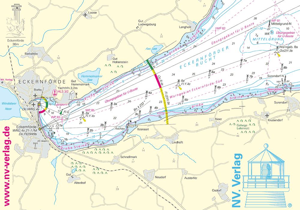
Water drops on glasses or smartphones are a thing of the past with this cleaning cloth. With an appealing map of the NV Verlag motif "Eckernförder Bucht" you are super equipped with this cloth which c

€2.50*
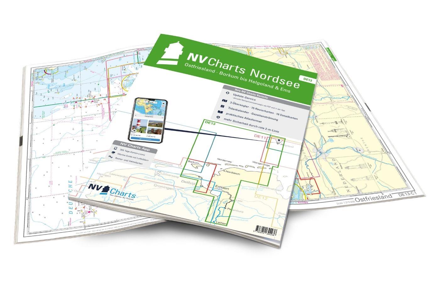
NV Charts Nordsee DE13 - Ostfriesland, Borkum bis Helgoland & Ems
The East Frisian islands of Borkum, Juist, Norderney, Baltrum, Langeoog, Spiekeroog and Wangerooge are both attractive and demanding. Seemingly endless expanse, the fresh breeze and long beaches chara

Variants from €58.49*
€64.99*
Der küstennahe Gezeitenstrom in der Deutschen Bucht (BSH 2348)
Current atlas from the BSHThe nearshore tidal current in the German Bight (BSH 2348). Edition 2017. Current atlas with detailed representation of the current conditions in the estuaries and tidal flat

€31.00*
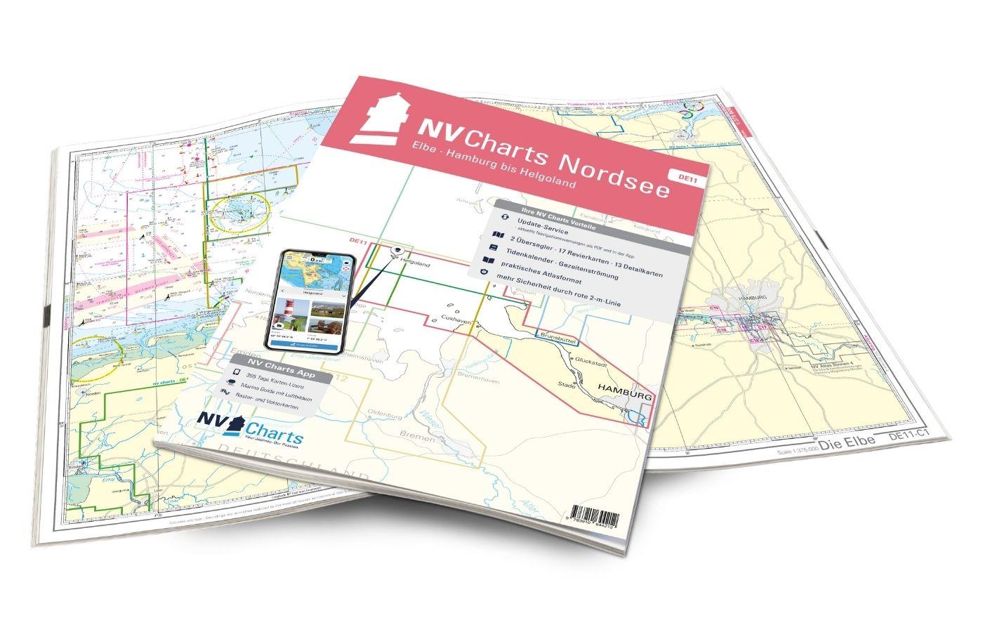
NV Charts Nordsee DE11 - Elbe, Hamburg bis Helgoland
Hamburg to Helgoland, the world-famous northern German port city and Germany's only offshore island. The chart set DE 11 Elbe to Helgoland takes you from the Port of Hamburg via Stade, Glücksstadt to

Variants from €58.49*
€64.99*

Reviews

0 of 0 reviews

Leave a review!

Share your experiences with other customers.