Skip to main content Skip to search Skip to main navigation

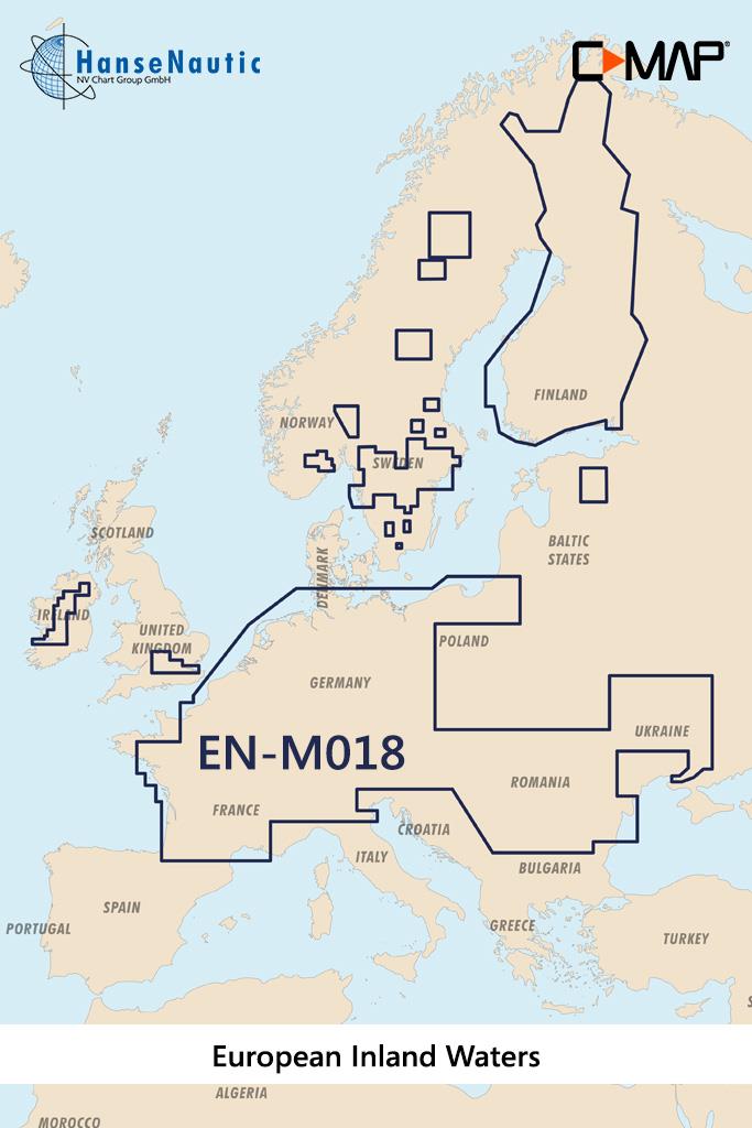
Electronic nautical chart for the European inland waters for chartplotters and multifunction displays

Coverage:

The C-MAP chart EN-M018 covers the European inland waters.

Data carrier:

This electronic nautical chart is supplied on an mSD data carrier contained in an SD card adapter. But without the satellite imagery oblique aerial imagery and raster charts usually found in the ""+"" format. These MAX Wide maps have only the proven vector maps stored.

Compatibility:

Please refer to the compatibility list or ask us we will be happy to help.

Tip: When ordering your nautical chart always state the make and model of your plotter to avoid incorrect deliveries.

Revocation excluded

These nautical charts are produced by us for you on customer request in order to always provide you with the most up-to-date data. For this reason, the charts are excluded from exchange and revocation.

Properties "C-MAP MAX MegaWide EN-M018 European Inland Waters"
Region: Inland
Manufacturer "C-MAP"

C-Map - Kartografie und digitale Services für den Sportbootbereich

C-MAP bietet Kartografieprodukte und -services in einer Vielzahl von Formaten für Seen, Küstengebiete und Ozeane weltweit an. Mit detaillierten Karten und mehr als 7,2 Millionen Points of Interest global, investiert C-MAP kontinuierlich in die Verbesserung von Abdeckung und Detailgenauigkeit. C-MAP-Produkte sind mit zahlreichen führenden Schifffahrtsmarken kompatibel, darunter Simrad, Lowrance, B&G, Raymarine und Furuno. Die C-MAP-App ermöglicht ein personalisiertes Erlebnis mit umfassenden Planungstools. C-MAP ist Teil der Navico-Familie, die über 70 Jahre Erfahrung in der Entwicklung und Herstellung von Marineelektronik besitzt. Auch im HanseNautic Onlineshop finden Sie viele digitale C-Map Karten. Wenn Sie bei der Auswahl Unterstützung benötigen, sprechen Sie uns gerne an.

TIPP: Hier finden Sie alle Hersteller im Überblick. Hier klicken

Properties "C-MAP MAX MegaWide EN-M018 European Inland Waters"
Region: Inland

0 of 0 reviews

Average rating of 0 out of 5 stars

Leave a review!

Share your experiences with other customers.


Area preview

With the help of our area preview, you can get an impression of which geographical region the product deals with or which areas a nautical chart covers.

Recommended by NV Charts

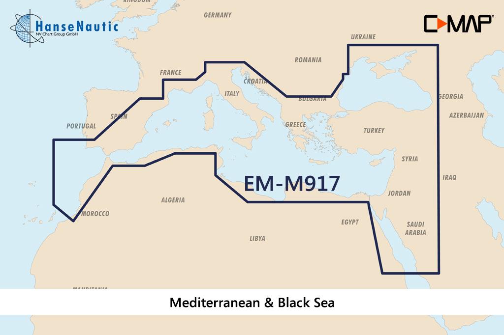
Gebietsvorschau für C-MAP MAX MegaWide EM-M917 Mediterranean & Black Sea öffnen
-10%
C-MAP MAX MegaWide EM-M917 Mediterranean & Black Sea
Electronic nautical chart for the Mediterranean Sea and the Black Sea for the modern chart plotters and multifunction displaysCoverage:The C-MAP chart EM-M917 covers all coastal areas in the Medi

€320.00* €355.81* (10.06% saved)
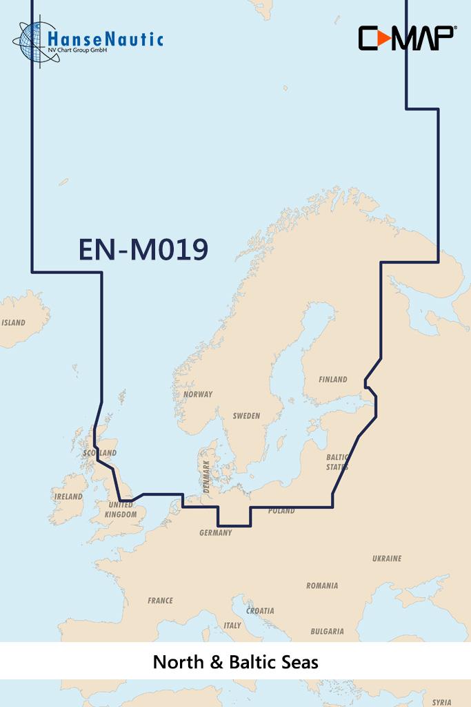
Gebietsvorschau für C-MAP MAX MegaWide EN-M019 North & Baltic Seas öffnen
-10%
C-MAP MAX MegaWide EN-M019 North & Baltic Seas
Electronic nautical chart for inland waters in Scandinavia for chartplotters and multifunction displays.Coverage:The C-MAP chart EN-M019 covers the areas of the entire Baltic Sea and North Sea incl. t

€320.00* €355.81* (10.06% saved)

Similar products