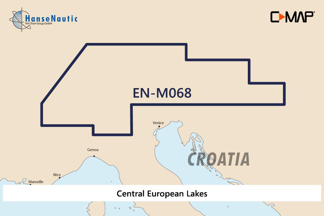
C-MAP MAX Wide EN-M068 Central European Lakes

€289.00*

% €296.31* (2.47% saved)
 
Information about your plotter
Please let us know which plotter you would like to use this product for.
Bitte tragen Sie die Marke und die Modellbezeichnung Ihres Plotters in das Textfeld ein. Wir werden intern prüfen, ob dieses Produkt mit Ihrem Plotter kompatibel ist. Mit dieser Information können wir Fehlbestellungen verringern und Ihnen mitteilen, wenn Sie eventuell ein anderes Produkt für Ihren Plotter benötigen.
Bitte geben Sie eine Telefonnummer an, unter der wir Sie erreichen können, falls Ihre Angaben zum Plotter nicht ausreichen oder Ihr Modell nicht zur gewünschten Karte passt.
Information about your plotter
Share your configuration
Product number: 24117
**Final prices may differ, due to possible recalculations in the shopping cart.

Description

Electronic nautical chart for the Central European Lakes near Austria for chartplotters and multifunction displays.

Coverage:

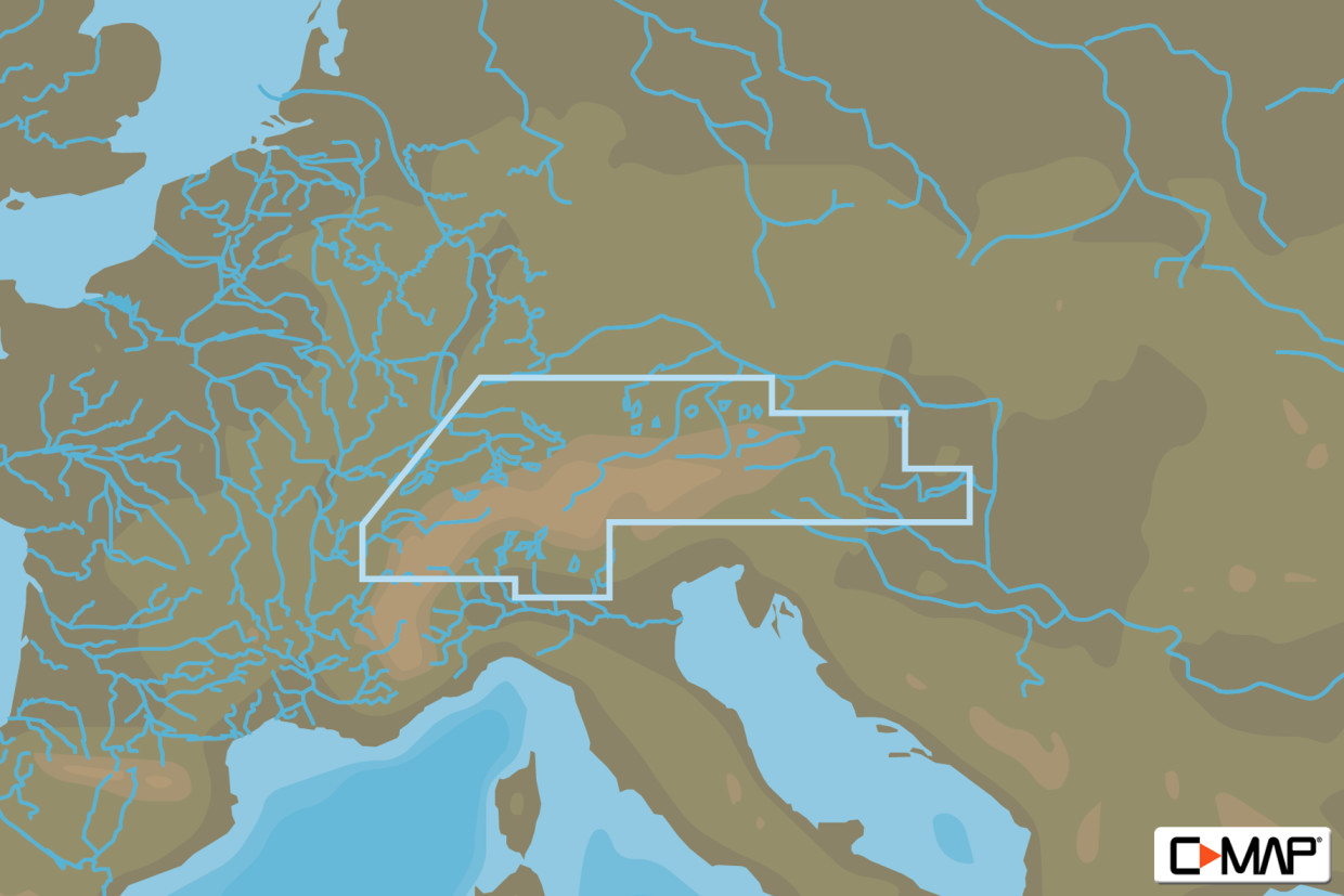
The C-MAP chart EN-M068 covers the Central European Lakes near Austria Switzerland and Hungary such as Lake Constance Lake Geneva and Lake Balaton.Lake Constance Lake Geneva Lake Garda and Lake Balaton.

Data carrier:

This electronic nautical chart is supplied on an mSD data carrier which is included in an SD card adapter. But without the satellite imagery oblique aerial imagery and raster charts usually found in the ""+"" format. These MAX Wide maps have only the proven vector maps stored.

Compatibility:

Please refer to the compatibility list or ask us we will be happy to help.

Tip: When ordering your nautical chart always state the make and model of your plotter to avoid incorrect deliveries.


Revocation excluded

These nautical charts are produced by us for you on customer request in order to always provide you with the most up-to-date data. For this reason, the charts are excluded from exchange and revocation.

Region: Europa, Binnen
Area preview

With the help of our area preview, you can get an impression of which geographical region the product deals with or which areas a nautical chart covers.

Recommended by NV Charts

Recommended by NV Charts

-2 %
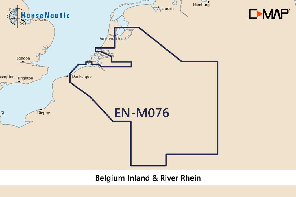
C-MAP MAX Wide EN-M076 Belgium Inland & River Rhein
Electronic nautical chart for the Belgian inland and the Rhine  for  chart plotters and multifunction displays.Coverage:The C-MAP chart EN-M076 covers the Belgian inland and the RhineDa

€289.00* €296.31* (2.47% saved)
-2 %
C-MAP MAX Wide EN-M068 Central European Lakes
Electronic nautical chart for the Central European Lakes near Austria for chartplotters and multifunction displays.Coverage:The C-MAP chart EN-M068 covers the Central European Lakes near Austria Switz

€289.00* €296.31* (2.47% saved)
-1 %
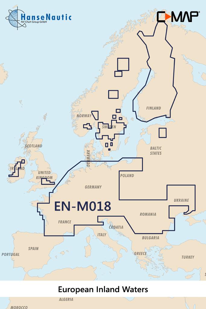
C-MAP MAX MegaWide EN-M018 European Inland Waters
Electronic nautical chart for the European inland waters for chartplotters and multifunction displaysCoverage:The C-MAP chart EN-M018 covers the European inland waters.Data carrier:This

€349.00* €355.81* (1.91% saved)

Products near this article

Products near this article

C-MAP 4D MAX+ Wide EN-D068 Central European Lakes
Electronic nautical chart for the rivers of central Europe for modern chartplotters and multifunction displays.CoverageThe C-MAP chart EM-D068 covers the rivers of central Europe. Included are all of

€239.00*
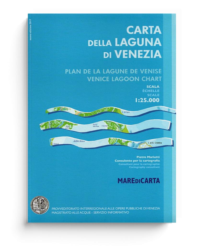
Carta Della Laguna Di Venezia
Carta Della Laguna Di Venezia by Pietro MariuttiVery clearly laid out and informative nautical chart for the Venice Lagoon and our recommendation for your trip.The map of the Venice Lagoon, scale 1:25

€27.00*
-1 %
C-MAP MAX Local EM-M940 Italian Lakes
Electronic nautical chart for the northern Italian lakes for the modern chartplotters and multifunction displays.Coverage:The C-MAP chart EM-M940 covers the northern Italian lakes Media

€199.00* €201.11* (1.05% saved)

Reviews

0 of 0 reviews

Leave a review!

Share your experiences with other customers.