C-MAP MAX Wide EN-M076 Belgium Inland & River Rhein

€289.00*

% €296.31* (2.47% saved)
 
Informationen zu Ihrem Kartenplotter
C-MAP MAX Abdeckungen können wir nur auf SD-Karten ausliefern (nicht mehr auf C-Cards). Bitte bestätigen Sie, dass Sie die Abdeckung auf SD-Karte erhalten möchten.
Bitte tragen Sie die Marke und die Modellbezeichnung Ihres Plotters in das Textfeld ein. Wir werden intern prüfen, ob dieses Produkt mit Ihrem Plotter kompatibel ist. Mit dieser Information können wir Fehlbestellungen verringern und Ihnen mitteilen, wenn Sie eventuell ein anderes Produkt für Ihren Plotter benötigen.
Bitte geben Sie eine Telefonnummer an, unter der wir Sie erreichen können, falls Ihre Angaben zum Plotter nicht ausreichen oder Ihr Modell nicht zur gewünschten Karte passt.
Informationen zu Ihrem Kartenplotter
Share your configuration
 
Product number: 24118

Description

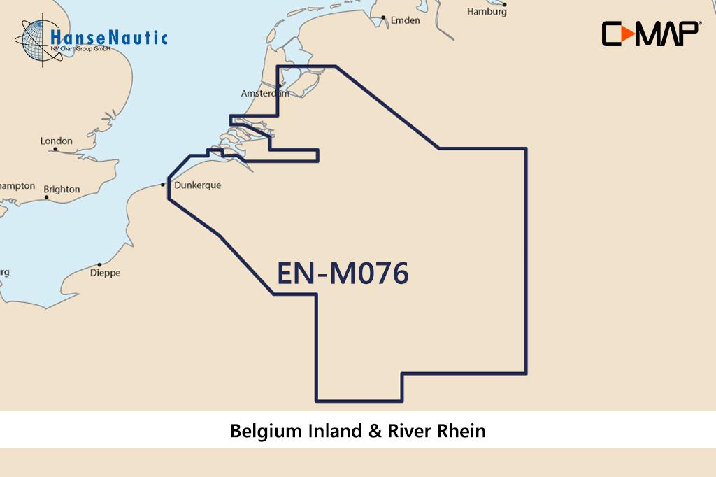
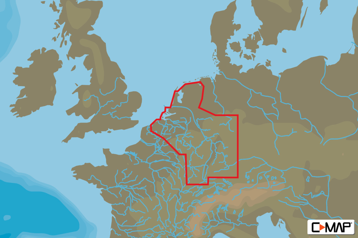
Electronic nautical chart for the Belgian inland and the Rhine  for  chart plotters and multifunction displays.

Coverage:

The C-MAP chart EN-M076 covers the Belgian inland and the Rhine

Data carrier:

This electronic nautical chart is supplied on an mSD data carrier contained in an SD card adapter. But without the satellite imagery oblique aerial imagery and raster charts usually found in the ""+"" format. These MAX Wide maps have only the proven vector maps stored.

Compatibility:

Please refer to the compatibility list or ask us we will be happy to help.

Tip: When ordering your nautical chart always state the make and model of your plotter to avoid incorrect deliveries.

Revocation excluded

These nautical charts are produced by us for you on customer request in order to always provide you with the most up-to-date data. For this reason, the charts are excluded from exchange and revocation.

Region: Europa, Binnen
Area preview

With the help of our area preview, you can get an impression of which geographical region the product deals with or which areas a nautical chart covers.

Recommended by NV Charts

Recommended by NV Charts

-2 %
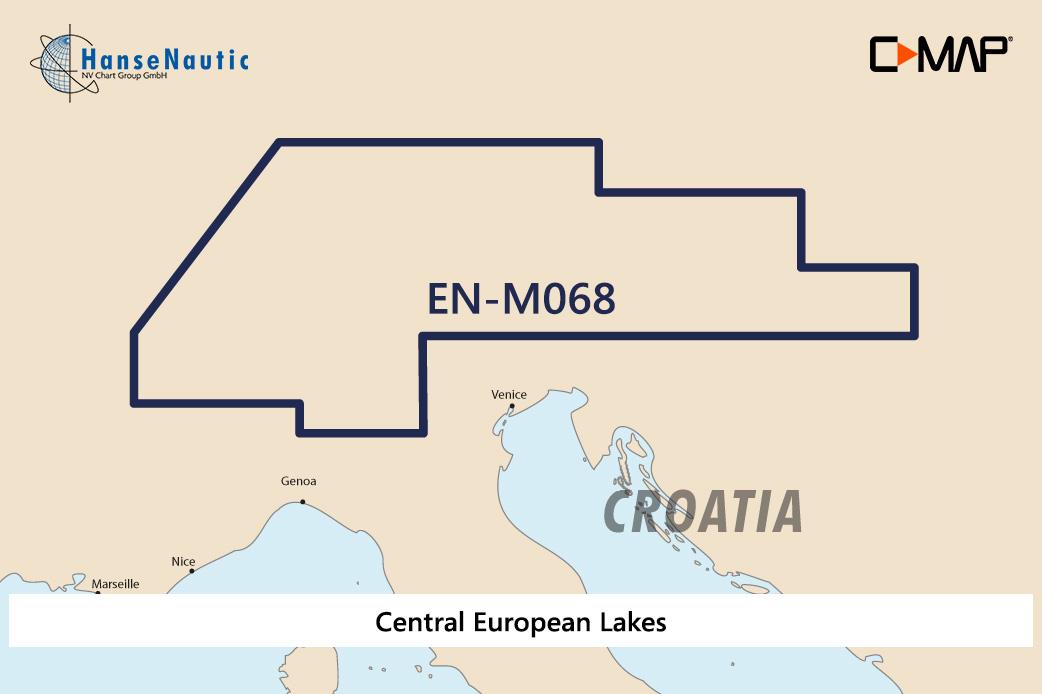
C-MAP MAX Wide EN-M068 Central European Lakes
Electronic nautical chart for the Central European Lakes near Austria for chartplotters and multifunction displays.Coverage:The C-MAP chart EN-M068 covers the Central European Lakes near Austria Switz

€289.00* €296.31* (2.47% saved)
-2 %
C-MAP MAX MegaWide AF-M005 Red Sea, Arab. Gulf & Africa
Electronic nautical chart for the African coastal areas  for  chartplotters and multifunction displays.Coverage:The C-MAP chart AF-M005 covers the African coastal areas from the Strait

€289.00* €296.31* (2.47% saved)
-1 %
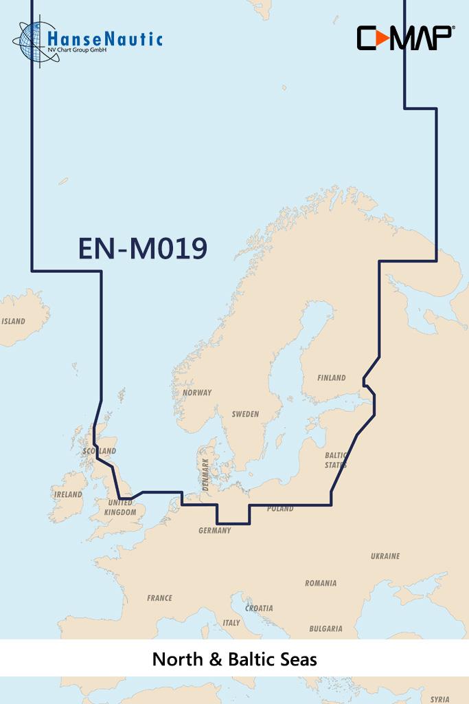
C-MAP MAX MegaWide EN-M019 North & Baltic Seas
Electronic nautical chart for inland waters in Scandinavia for chartplotters and multifunction displays.Coverage:The C-MAP chart EN-M019 covers the areas of the entire Baltic Sea and North Sea incl. t

€349.00* €355.81* (1.91% saved)

Products near this article

Products near this article

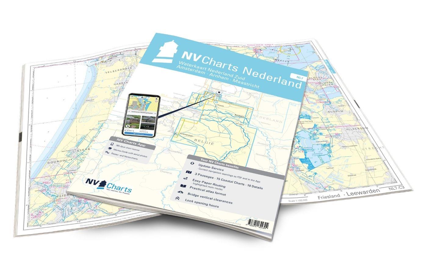
NV Charts Nederland NL7 - Waterkaart Nederland Zuid - Arnhem - Maastricht
For the southern part of the Dutch inland waterways, the NL7 Waterkaart Nederland Zuid is a practical and handy travelling companion. Together with the NL6 (Waterkaart Nederland Nord), the entire inla

€64.99*
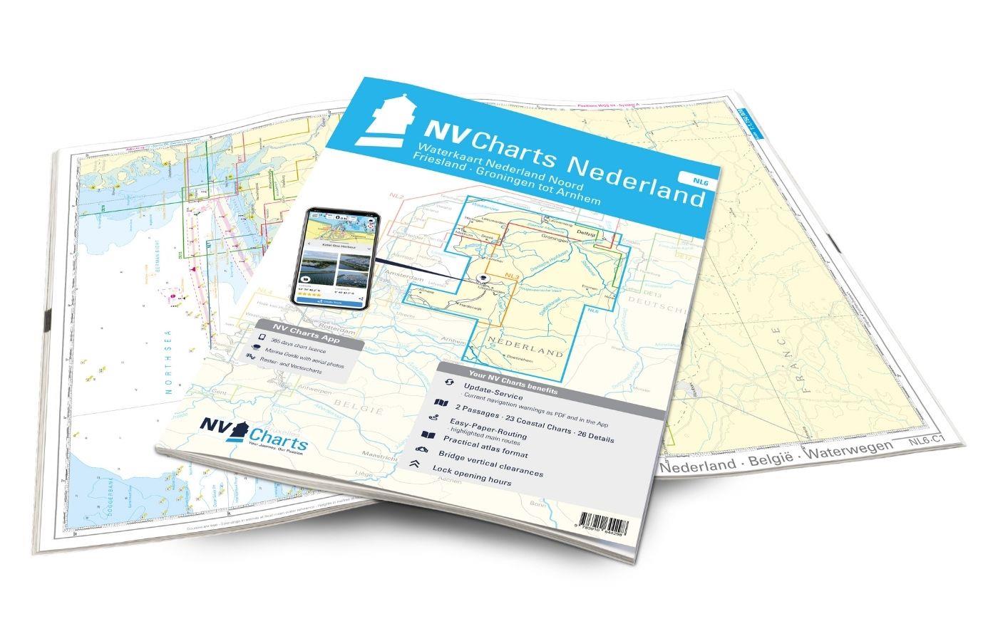
NV Charts Nederland NL6 - Waterkaart Nederland Noord - Friesland - Arnhem
Inland water chart NetherlandsFor the northern part of the inland waters of the Netherlands, the NL6 Waterkaart Nederland North a practical and handy travelling companion. Together with the NL7 (Water

€64.99*
EDB 04 Alsace/Lorraine
Rhine-Marne Canal Rhine-Rhône Canal (northern section) Moselle Vosges Canal Canal de lEst Saar-Coal Canal and the navigable Saar up to SaarbrückenThrough the waterway network in Alsace-Lorraine you ca

€22.00*
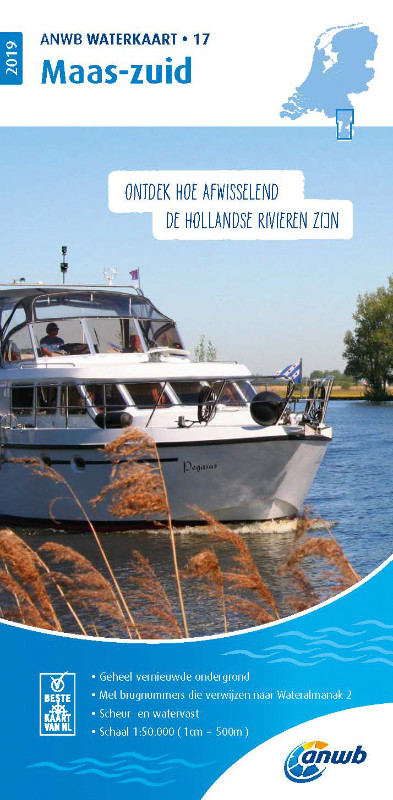
ANWB Waterkaart 17 - Maas-Zuid
Netherlands inland map for the Maas-zuid regionVarious - this describes the region depicted in Waterkaart 17 very well here nature lovers get their moneys worth but also vibrant cities like Maastricht

€17.99*
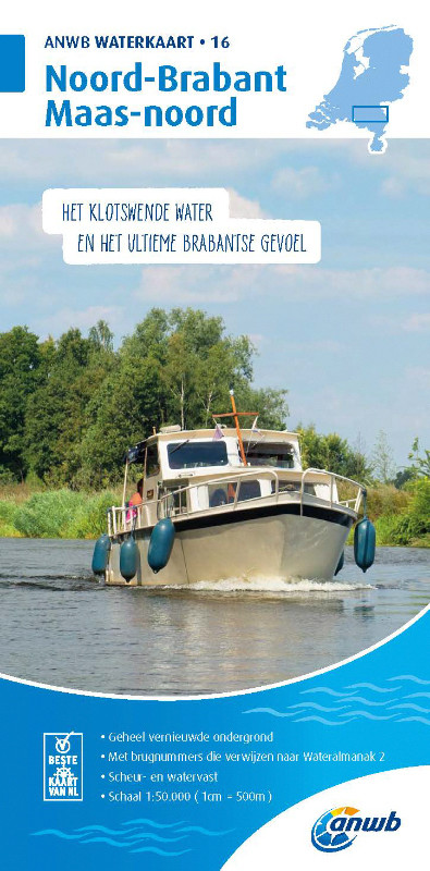
ANWB Waterkaart 16 - Noord-Brabant/Maas-Noord
District map for Noord-Brabant/Maas-NoordFolding map for Dutch inland district double-sided full-colour printed on thin art paper. Landscape format 100 x 70 cm (folded 25 x 125 cm). The map includ

€17.99*
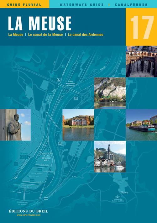
EDB 17 La Meuse
Ardennes Canal Meuse Canal navigable MeuseThis canal guide maps the Meuse valley from Troussey to Maastricht in Belgium. From Troussey to Sedan you sail on the Meuse Canal from Sedan you navigate on t

€22.00*
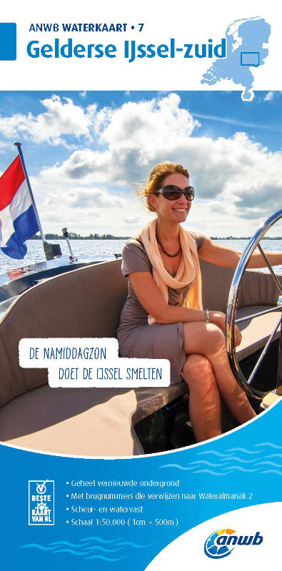
ANWB Waterkaart 7 - Gelderse Ijssel-Zuid
ANWB Waterkaart 7 Netherlands inland map for the Gelderse IJssel-zuid areaGelderland is one of the largest provinces in the Netherlands and is known for its numerous castles and estates as well as

€17.99*
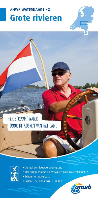
ANWB Waterkaart 8 - Grote Rivieren
ANWB 8: Dutch inland map for Grote RivierenGrote Rivieren - This region is one of the most popular holiday regions in the Netherlands and impresses with its vibrant diversity.Folding map for D

€17.99*
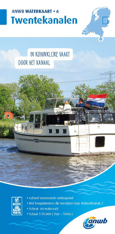
ANWB Waterkaart 6 - Twentekanalen
Dutch inland waterway map for the holiday area TwentekanalenThe Dutch inland waterway Twentekanal connects the overijsselsche region with the geldersche Ijssel.Folding map for Dutch inland waterway do

€17.99*

Reviews

0 of 0 reviews

Leave a review!

Share your experiences with other customers.