C-MAP MAX Wide EN-M299 Baltic Sea & Denmark (W85)

€289.00*

% €296.31* (2.47% saved)
 
Informationen zu Ihrem Kartenplotter
C-MAP MAX Abdeckungen können wir nur auf SD-Karten ausliefern (nicht mehr auf C-Cards). Bitte bestätigen Sie, dass Sie die Abdeckung auf SD-Karte erhalten möchten.
Bitte tragen Sie die Marke und die Modellbezeichnung Ihres Plotters in das Textfeld ein. Wir werden intern prüfen, ob dieses Produkt mit Ihrem Plotter kompatibel ist. Mit dieser Information können wir Fehlbestellungen verringern und Ihnen mitteilen, wenn Sie eventuell ein anderes Produkt für Ihren Plotter benötigen.
Bitte geben Sie eine Telefonnummer an, unter der wir Sie erreichen können, falls Ihre Angaben zum Plotter nicht ausreichen oder Ihr Modell nicht zur gewünschten Karte passt.
Informationen zu Ihrem Kartenplotter
Share your configuration
 
Product number: 24123

Description

Electronic nautical chart for waters of the Baltic Sea and Denmark for chartplotters and multifunction displays.

Coverage:

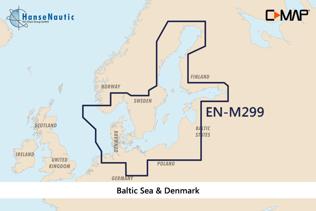
The C-MAP chart EN-M299 covers the waters of the Baltic Sea and Denmark. In the west it borders the German North Sea coast (Deutsche Bucht) the Danish west coast and Norway (Egersund) and the Skagerrak incl. Oslofjord. The Danish waters Limfjord Kattegat Belte & Sund and the western as well as southern Baltic Sea up to Bornholm are shown completely and in detail. The German coasts both North Sea and Baltic Sea as well as the North German inland waters are covered with coastal charts harbour charts and detailed plans. Also the Swedish waters from the Norwegian coast to Finland including the archipelagos and islands as well as the eastern Baltic Sea from Finland via St. Petersburg and the three Baltic States Estonia Latvia Lithuania to Poland are part of the coverage.

This coverage was formerly offered under the designation W85 by C-MAP.

Data carrier:

This electronic nautical chart is delivered on an mSD data carrier which is contained in an SD card adapter. But without the satellite imagery oblique aerial imagery and raster charts usually found in the ""+"" format. These MAX Wide maps have only the proven vector maps stored.

Compatibility:

Please refer to the compatibility list or ask us we will be happy to help.

Tip: When ordering your nautical chart always state the make and model of your plotter to avoid incorrect deliveries.

Revocation excluded

These nautical charts are produced by us for you on customer request in order to always provide you with the most up-to-date data. For this reason, the charts are excluded from exchange and revocation.

Region: Dänemark, Deutschland, Ostsee, Kattegat
Area preview

With the help of our area preview, you can get an impression of which geographical region the product deals with or which areas a nautical chart covers.

Recommended by NV Charts

Recommended by NV Charts

-2 %
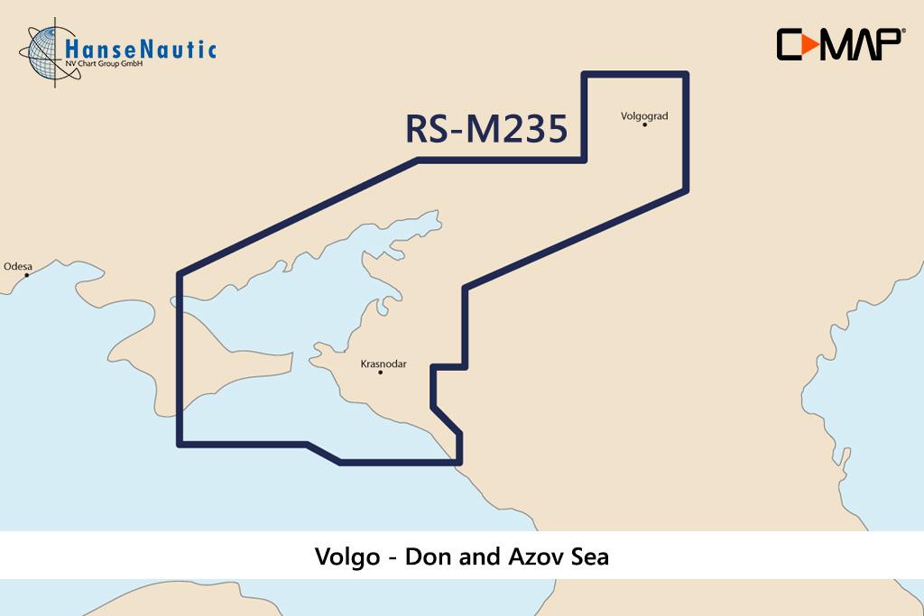
C-MAP MAX Wide Volgo - Don and Azov Sea RS-M235
Electronic nautical chart for theVolgo - Don and Azov Sea for chartplotters and multifunction displays.Coverage:The C-MAP MAX Wide  Volgo - Don and Azov Sea RS-M235 Data carrier:This el

€289.00* €296.31* (2.47% saved)
-2 %
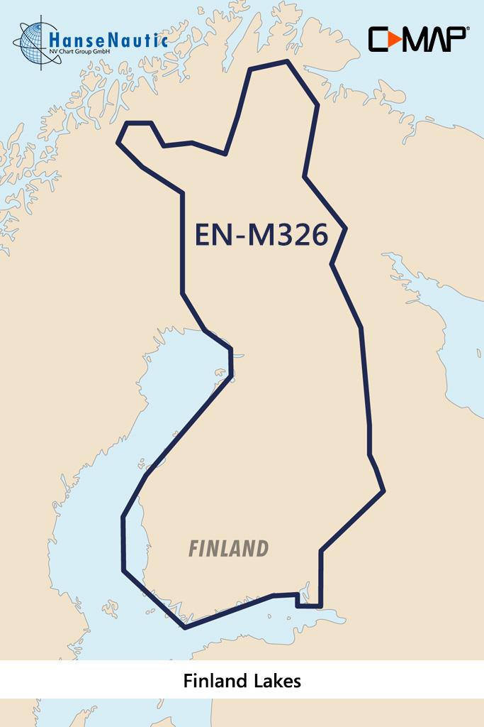
C-MAP MAX Wide EN-M326 Finland Lakes
Electronic nautical chart for the lakes in Finland for chartplotters and multifunction displays.Coverage:The C-MAP chart EN-M326 covers the entire lakes in Finland. For example Saimaa Päijänne Vanajav

€289.00* €296.31* (2.47% saved)
-2 %
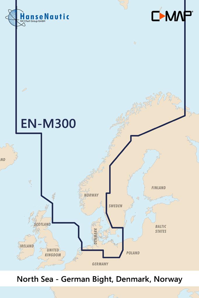
C-MAP MAX Wide EN-M300 North Sea & Denmark
Electronic nautical chart for the North Sea and Denmark for chartplotters and multifunction displays.Coverage:The C-MAP chart EN-M300 covers the German North Seaand Baltic Sea the coast of Norway up t

€289.00* €296.31* (2.47% saved)

Related products to this item

Related products to this item

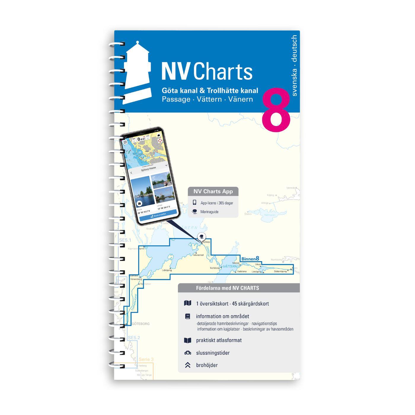
NV Binnenband 8 Göta Kanal & Trollhätte Kanal
Swedens blue ribbon of 190 km in length - is probably one of the most scenic waterways in Europe. Every water sports enthusiast would like to pass the 58 locks downhill and uphill the pictur

€44.99*
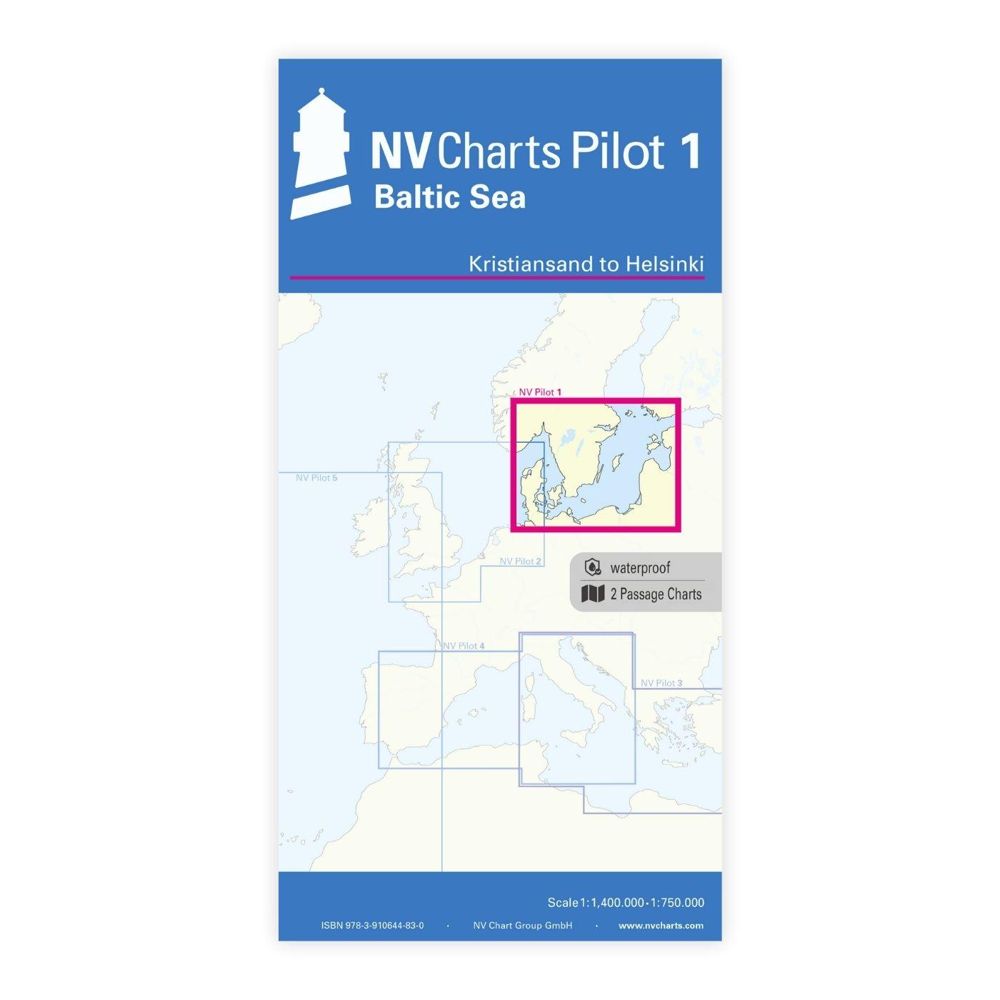
NV Pilot 1, planning chart Baltic Sea - Kristiansand to Helsinki
NV Pilot 1, planning chart Baltic Sea - Kristiansand to HelsinkiThe Pilot 1 from NV Charts is an indispensable planning chart if you want to prepare for a Baltic Sea cruise. This chart for this popula

€24.99*
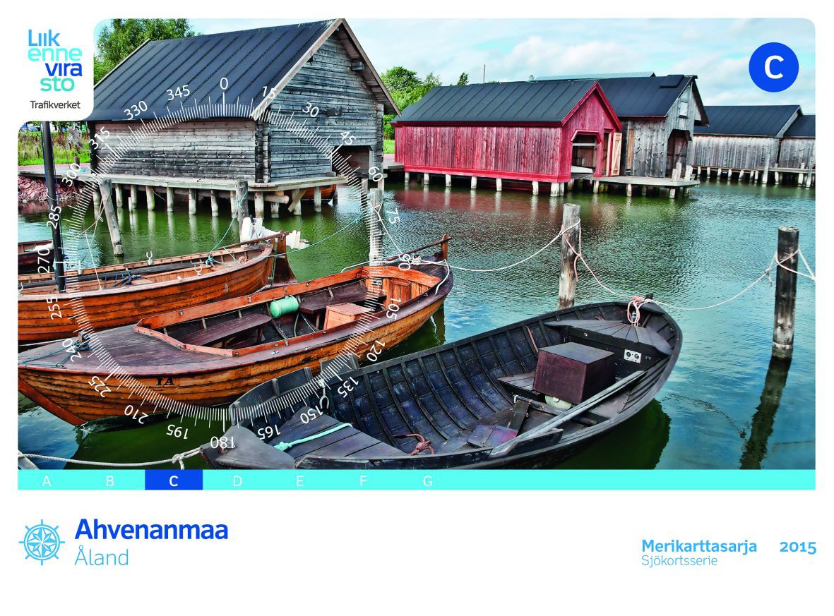
FINN. BOOTSPORTKARTEN C
The Finnish boating chart set C "Åland" covers the Åland Islands with the island capital Mariehamn. The eastern boundary of this recreational boating chart set is the line Uto - Kökar - Brändö - E

€58.00*
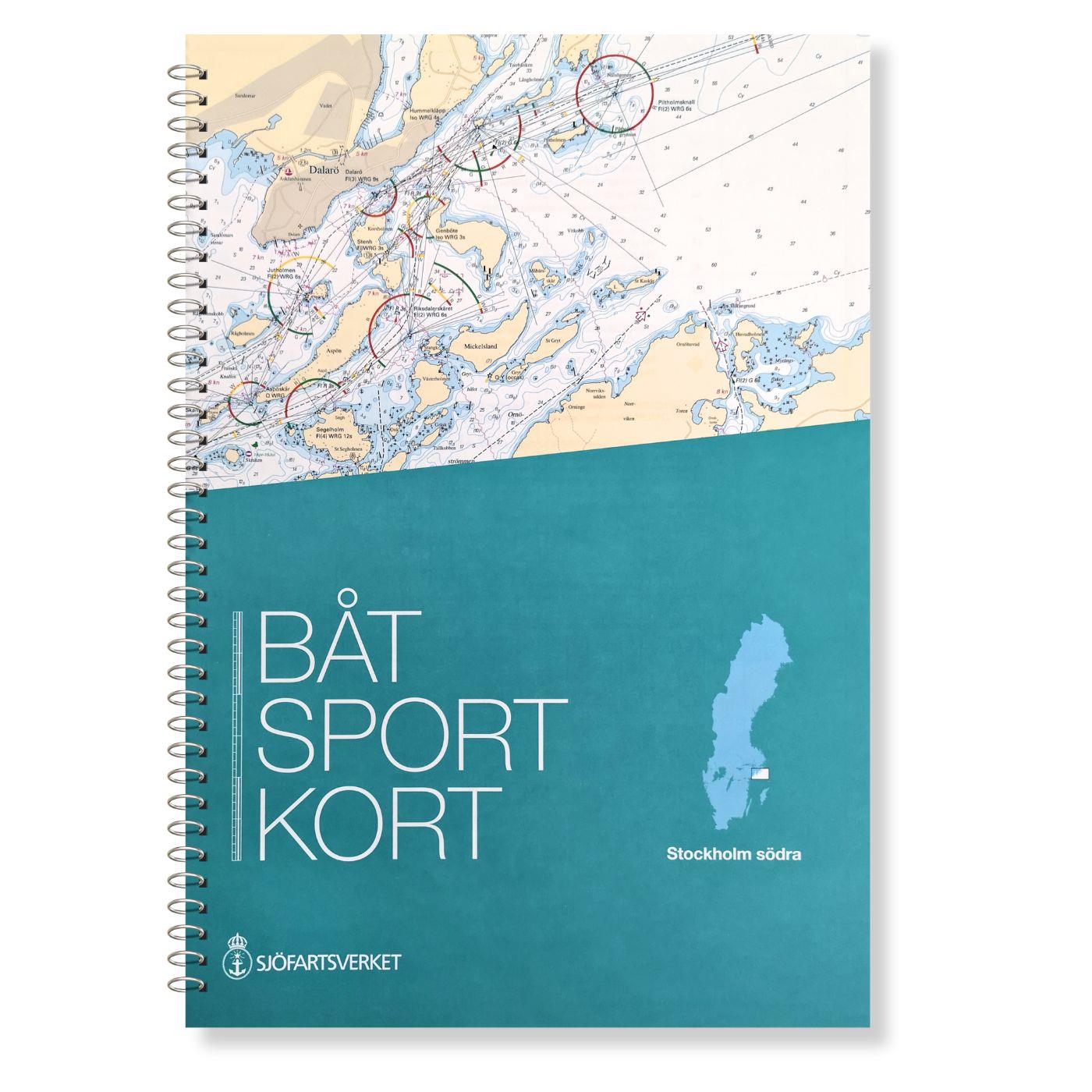
Swedish Series Stockholm S Södra
The official Swedish recreational boating chart set Stockholm Södra published by the Swedish Sjöfartsverket consists of very detailed nautical charts of the southern Stockholm archipelago. The area fr

€78.00*
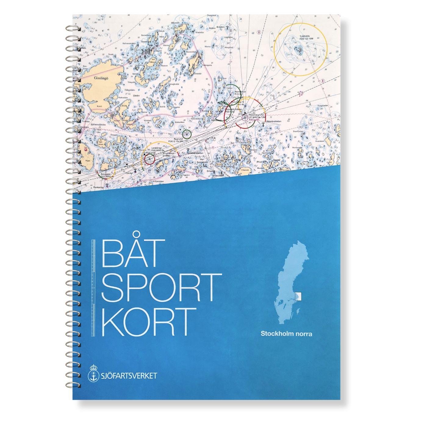
Swedish Series Stockholm N Norra
The Swedish recreational boating chart set Stockholm Norra covers the northern Stockholm archipelago from Sandhamn to Öregrund. It also covers the sea area between the Swedish coast and the Aland Isla

€78.00*
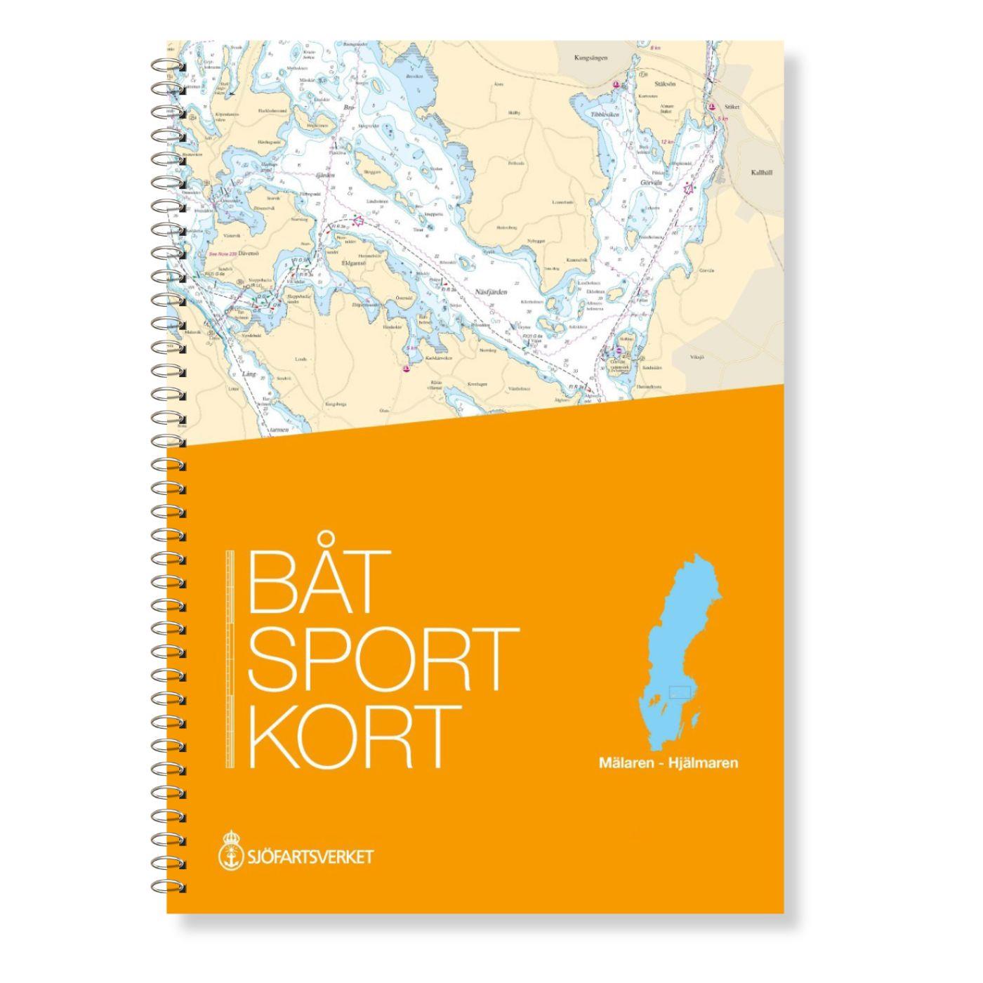
Swedish series Mälaren - Hjälmaren
In this official Swedish recreational boating chart set Mälaren- Hjälmaren the popular Swedish inland waterways Mälaren and Hjälmaren are covered. This extends from Stockholm into the Mälare

€78.00*
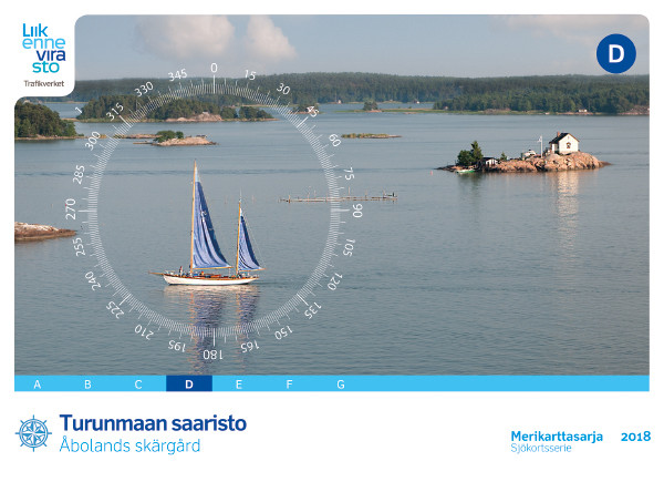
FINN. BOOTSPORTKARTEN D
The Finnish Recreational Boat Chart Set D covers the popular Turku archipelago. The northernmost town in this chart set is Uusikaupunki (Swedish: Nystad).The chart set includes1 oversegger 1:300000 wi

€58.00*

Products near this article

Products near this article

NV Pilot 1, planning chart Baltic Sea - Kristiansand to Helsinki
NV Pilot 1, planning chart Baltic Sea - Kristiansand to HelsinkiThe Pilot 1 from NV Charts is an indispensable planning chart if you want to prepare for a Baltic Sea cruise. This chart for this popula

€24.99*
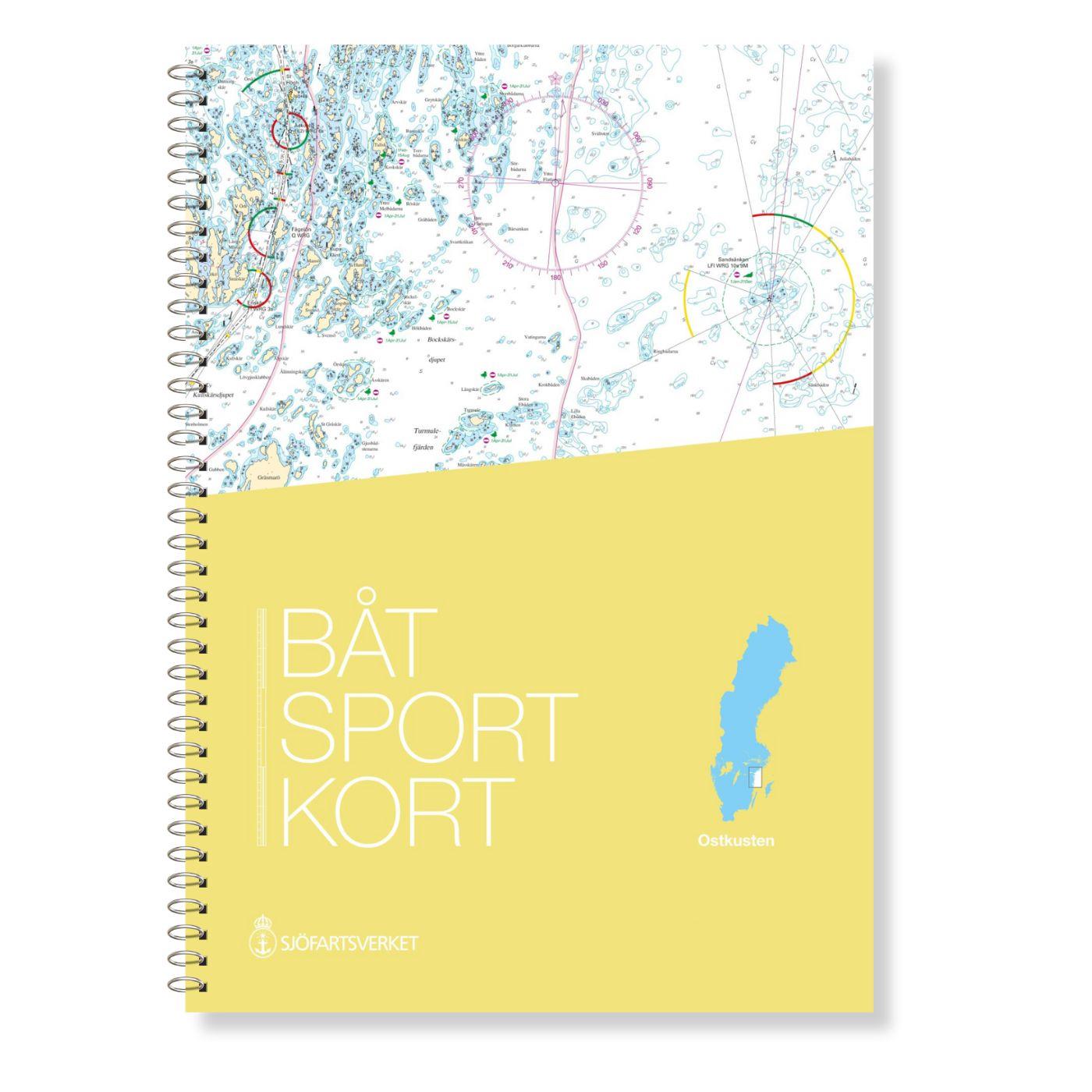
Swedish Series East Coast
The Swedish Sport Boat Chart Series East Coast (Båtsportkort Ostkusten) presents the fairways and approaches of the archipelago fairways between Troasa and Västervik. The entrance to the Göta Can

€78.00*
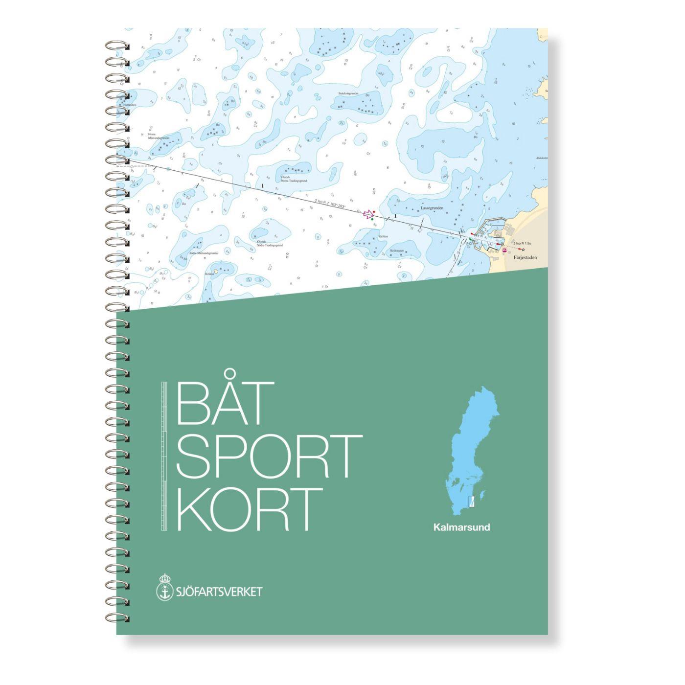
Swedish series Kalmarsund
The official Swedish sport boat chart set (Båtsportkort) Kalmarsund covers the Kalmarsund from Västervik to Bergkvara. The island of Gotland is shown on the oversailers without detail or approach char

€78.00*
Swedish series Mälaren - Hjälmaren
In this official Swedish recreational boating chart set Mälaren- Hjälmaren the popular Swedish inland waterways Mälaren and Hjälmaren are covered. This extends from Stockholm into the Mälare

€78.00*
Swedish Series Stockholm S Södra
The official Swedish recreational boating chart set Stockholm Södra published by the Swedish Sjöfartsverket consists of very detailed nautical charts of the southern Stockholm archipelago. The area fr

€78.00*

Reviews

0 of 0 reviews

Leave a review!

Share your experiences with other customers.