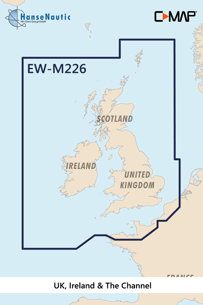
C-MAP MAX Wide EW-M226 UK, Ireland & The Channel

€289.00*

% €296.31* (2.47% saved)
 
Informationen zu Ihrem Kartenplotter
C-MAP MAX Abdeckungen können wir nur auf SD-Karten ausliefern (nicht mehr auf C-Cards). Bitte bestätigen Sie, dass Sie die Abdeckung auf SD-Karte erhalten möchten.
Bitte tragen Sie die Marke und die Modellbezeichnung Ihres Plotters in das Textfeld ein. Wir werden intern prüfen, ob dieses Produkt mit Ihrem Plotter kompatibel ist. Mit dieser Information können wir Fehlbestellungen verringern und Ihnen mitteilen, wenn Sie eventuell ein anderes Produkt für Ihren Plotter benötigen.
Bitte geben Sie eine Telefonnummer an, unter der wir Sie erreichen können, falls Ihre Angaben zum Plotter nicht ausreichen oder Ihr Modell nicht zur gewünschten Karte passt.
Informationen zu Ihrem Kartenplotter
Share your configuration
 
Product number: 24131

Description

Electronic nautical chart for waters around England and Ireland for chartplotters and multifunction displays.

Coverage:

The C-MAP chart EW-M226 covers the waters around England and Ireland.

Data carrier:

This electronic nautical chart is supplied on an mSD data carrier contained in an SD card adapter. But without the satellite imagery oblique aerial imagery and raster charts usually found in the ""+"" format. These MAX Wide maps have only the proven vector maps stored.

Compatibility:

Please refer to the compatibility list or ask us we will be happy to help.

Tip: When ordering your nautical chart always state the make and model of your plotter to avoid incorrect deliveries.

Revocation excluded

These nautical charts are produced by us for you on customer request in order to always provide you with the most up-to-date data. For this reason, the charts are excluded from exchange and revocation.

Region: Englischer Kanal, Nordsee, Atlantik
Area preview

With the help of our area preview, you can get an impression of which geographical region the product deals with or which areas a nautical chart covers.

Recommended by NV Charts

Recommended by NV Charts

-2 %
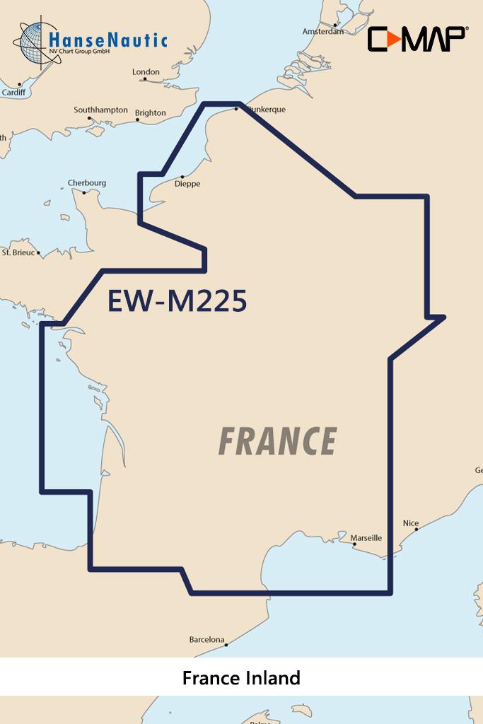
C-MAP MAX Wide EW-M225 France Inland
Electronic nautical chart for the French inland  and the western Mediterranean for chartplotters and multifunction displays.Coverage:The C-MAP chart EW-M225 covers the French inlan

€289.00* €296.31* (2.47% saved)
-1 %
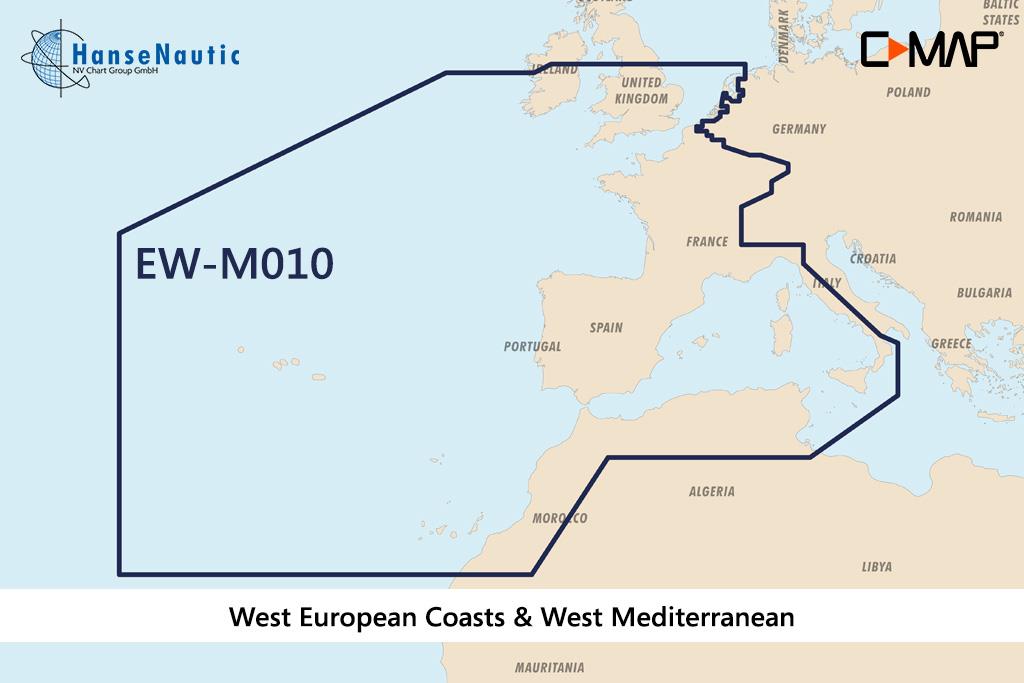
C-MAP MAX MegaWide EW-M010 West European Coasts & West Med.
Electronic nautical chart for the Western European coast and the Western Mediterranean for chartplotters and multifunction displays.Coverage:The C-MAP chart EW-M010 covers the Western European co

€349.00* €355.81* (1.91% saved)
-2 %
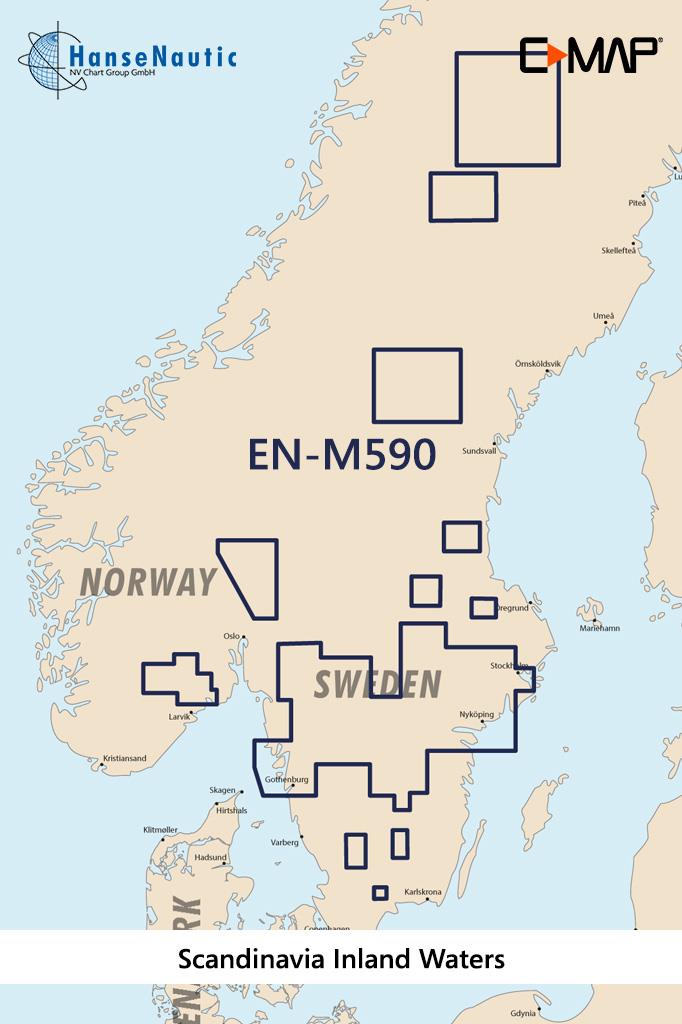
C-MAP MAX Wide EN-M590 Scandinavia Inland Waters
Electronic nautical chart for the Scandinavian inland waters for chartplotters and multifunction displays.Coverage:The C-MAP chart EN-M590 Scandinavia Inland WatersMedia:This electronic naut

€289.00* €296.31* (2.47% saved)
-1 %
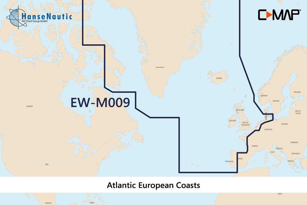
C-MAP MAX MegaWide EW-M009 Atlantic European Coasts
Electronic nautical chart for the northern Atlantic coasts for chartplotters and multifunction displays.Coverage:The C-MAP chart EW-M009 covers the Atlantic coasts of Europe incl.. Portugal

€349.00* €355.81* (1.91% saved)

Products near this article

Products near this article

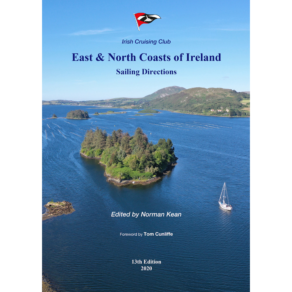
East & North Coast of Ireland
A sailing guide to the north-east coast of IrelandFrom Kilmore Quay and Carnsore Point north via Malin Head to Bloody Foreland. This 13th fully revised edition of the East & North Coasts of Ireland Sa

€48.50*
UK and Ireland Circumnavigator's Guide
UK and Ireland Circumnavigators GuideA circumnavigation of the UK and IrelandA circumnavigation of the UK and Ireland is the perfect challenge for leisure sailors looking for an extended cruise that w

€32.50*

Reviews

0 of 0 reviews

Leave a review!

Share your experiences with other customers.