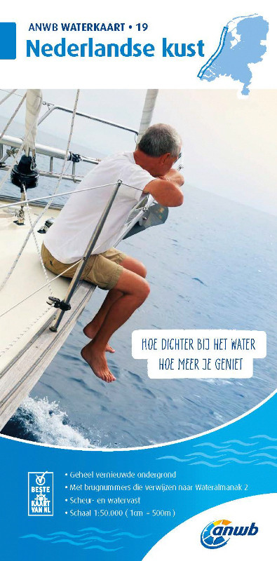
ANWB Waterkaart 19 - Nederlandse Kust

Chart ID: ANWB 19
Scale: 1:50.000

€17.99*


Product number: 30868

Description

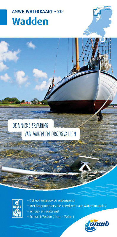
Wadden - ANWB Waterkaart 20

This map is not suitable for navigation.

Folding map for Dutch inland waterways double-sided full-colour printed on thin art paper. Landscape format 100 x 70 cm (folded 25 x 12.5 cm). The map includes all navigable waterways and areas of the district. Navigation signs are complete depth indications only sparsely marked. The bridges and structures are partly numbered and refer to the structure numbers of the Wateralmanak 2 . The Wateralmanak 2 is also navigationally necessary for details of marinas and moorings.

  • Dimensions: 100x70 cm
  • Scale: 1:50000
  • In Dutch with Dutch explanation of signs.
  • Reliable and detailed nautical information on the chart
  • Comprehensive legend
  • With inset maps of the most important ports and places in a sailing area
  • Overview chart
  • The water charts are tear and water resistant

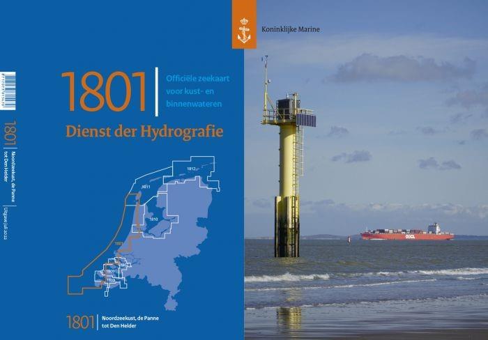
Cover for Waterkaart 19 - Nederlandse Kuste:

Front/Frontside 1:50.000 Den Helder to Scheveningen
Details: -

Backside 1:50.000 Hoek van Holland to Cadzand-Bad
Details: Den Helder Scheveningen IJmuiden Ouddorp Roompot Vlissingen Breskens

Our recommendation:

For the waters of the northern Netherlands we actually recommend the inland map from nvcharts because they are much more comprehensive and a digital solution is also offered. The Anwb charts are only recommended for water sports enthusiasts who only want to travel a very small area.

ANWB-Water charts

ANWB is a Dutch producer of water charts of all Dutch boating areas including the Dutch coast and the Wadden Sea. A waterway map shows all navigable canals rivers and lakes. The ANWB water charts provide information about marinas moorings trailer ramps bridges locks maximum sailing speeds buoyage and water depths.
Format: Plano & Einzelkarten
Area preview

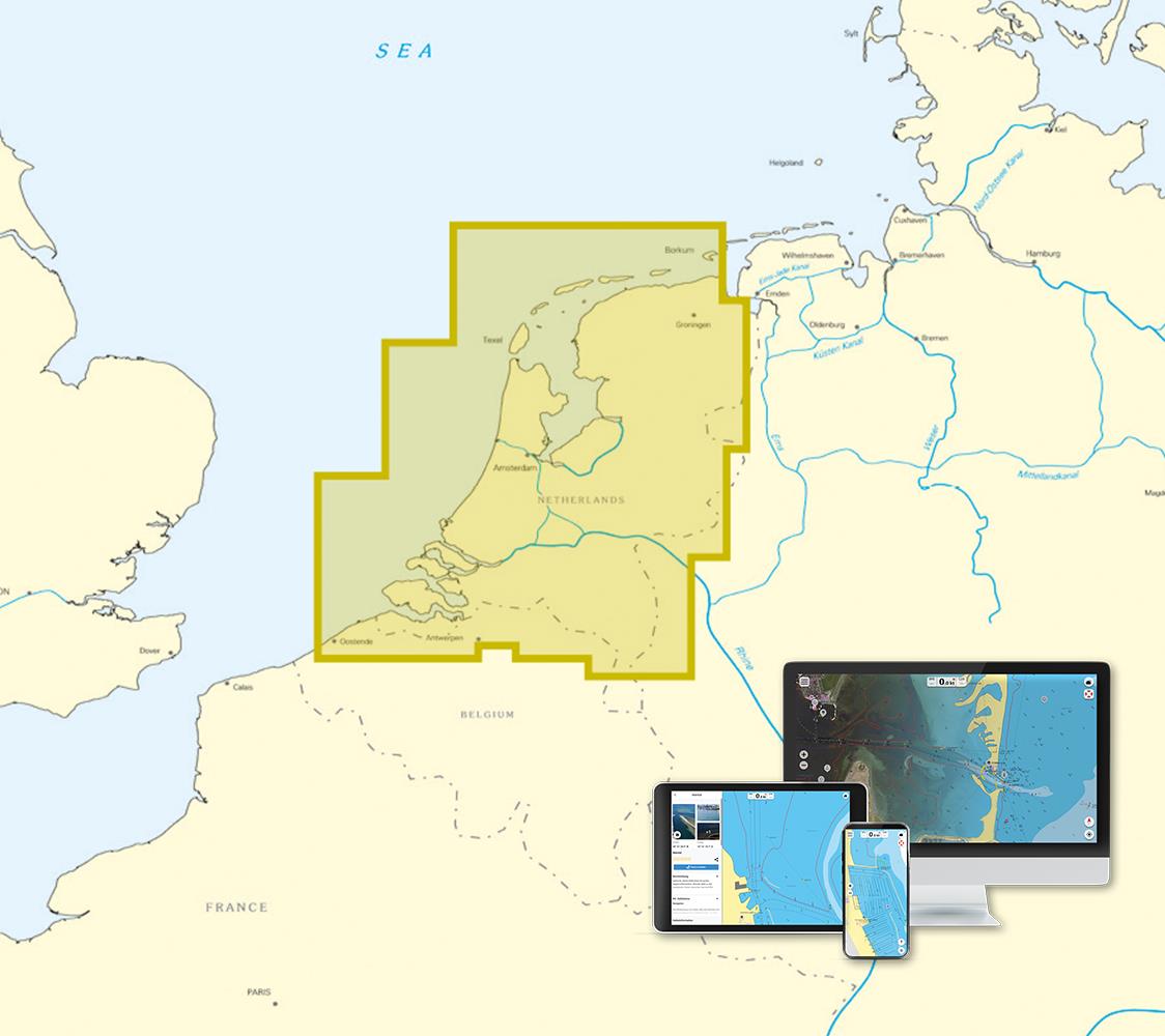
With the help of our area preview, you can get an impression of which geographical region the product deals with or which areas a nautical chart covers.

Other customers bought also

Other customers bought also

Subs.available
Gebietsvorschau für NV Charts Nederland NL2 - Waddenzee öffnen
NV Charts Nederland NL2 - Waddenzee
Purchase type: One-time
The NV Atlas NL2 is the ideal chart to explore the Waddenzee region.The chart series, specially designed for recreational boating, contains the nautical charts in various sizes, as well as all harbor

Variants from €58.49*
€64.99*
Subs.available
Gebietsvorschau für NV Charts Nederland NL5 - Ooster & Westerschelde öffnen
NV Charts Nederland NL5 - Ooster & Westerschelde
Purchase type: One-time
On your journey through the delta region Oosterschelde and Westerschelde the NV Charts Nederlend NL5 Atlas is the perfect travelling companion. The chart series, specially designed for recreational bo

Variants from €51.99*
€64.99*
Subs.available
Gebietsvorschau für NV Charts Nederland NL1 - Borkum naar Oostende öffnen
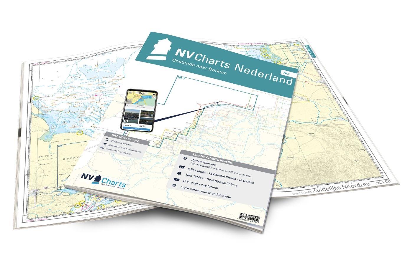
NV Charts Nederland NL1 - Borkum naar Oostende
Purchase type: One-time
The NV Charts Nederland NL1 Oostende naar Borkum  is a chart series specially designed for recreational boating and contains the nautical charts in various sizes, as well as all harbour plans and

Variants from €51.99*
€64.99*
Gebietsvorschau für ANWB Wateralmanak 2 (Brückenzeiten) öffnen
-12 %
ANWB Wateralmanak 2 (Brückenzeiten)
Wateralmanak 2 Sound signals of the Inland Police (BPR) and the Rhine Police (RPR)This almanac includes the opening hours of all bridges and locks in the Netherlands and Belgium. The&nb

€21.99* €25.00* (12.04% saved)

Reviews

0 of 0 reviews

Leave a review!

Share your experiences with other customers.


Gebietsvorschau für ANWB Waterkaart 17 - Maas-Zuid öffnen
ANWB Waterkaart 17 - Maas-Zuid
Netherlands inland map for the Maas-zuid regionVarious - this describes the region depicted in Waterkaart 17 very well here nature lovers get their moneys worth but also vibrant cities like Maastricht

€17.99*
Gebietsvorschau für ANWB Waterkaart 20 - Wadden öffnen
ANWB Waterkaart 20 - Wadden
Wadden - ANWB Waterkaart 20This map is not suitable for navigation.The Dutch inland waterway Twente Canal connects the overijsselsche region with the geldersche Ijssel.Folding map for Dutch inland wat

€17.99*
Gebietsvorschau für ANWB Staande Mastroute öffnen
ANWB Staande Mastroute
ANWB Wateratlas Stande Mastroute(Softcover approx. 295x245cm) Haringvliet/Eems-Dollard. Includes the inland route to Den Helder.The standing mast route is the alternative to the North Sea route for No

€21.99*
Gebietsvorschau für ANWB Waterkaart 10 - Noord-Holland öffnen
ANWB Waterkaart 10 - Noord-Holland
Netherlands inland map Noord-HollandThis map shows the northwestern province of Noord-Holland of the Netherlands. The elongated peninsula is one of the most diverse provinces. This nautical map takes

€17.99*
Gebietsvorschau für ANWB Waterkaart 16 - Noord-Brabant/Maas-Noord öffnen
ANWB Waterkaart 16 - Noord-Brabant/Maas-Noord
District map for Noord-Brabant/Maas-NoordFolding map for Dutch inland district double-sided full-colour printed on thin art paper. Landscape format 100 x 70 cm (folded 25 x 125 cm). The map includ

€17.99*
Gebietsvorschau für ANWB Waterkaart 18 - Ijsselmeer-Markermeer / Randmeeren öffnen
ANWB Waterkaart 18 - Ijsselmeer-Markermeer / Randmeeren
Netherlands inland map IJsselmeer Markermeer RandmerenThe north-eastern province of Drenthe is known for its semi-natural national parks and green landscapes through which navigable waterways run.Fold

€17.99*
Gebietsvorschau für ANWB Waterkaart 4 - Drenthe öffnen
ANWB Waterkaart 4 - Drenthe
Drenthe - Netherlands Inland MapThe north-eastern province of Drenthe is known for its semi-natural national parks and green landscapes with navigable waterways running through them.Folding map for Du

€17.99*
Gebietsvorschau für ANWB Waterkaart Amsterdam öffnen
ANWB Waterkaart Amsterdam
Inland map for AmsterdamAmserterdam - the capital of the Netherlands captivates thousands and thousands of tourists every year. The city has something to offer for everyone and is well suited for a st

€12.99*
Gebietsvorschau für ANWB Waterkaart 2 - Noord-Groningen öffnen
ANWB Waterkaart 2 - Noord-Groningen
Netherlands inland map for Noord-GroningenThe region around Groningen consists of water and marshland as well as sand and moors lined with meadows and forests along the waterways. On the coast seals b

€17.99*
Gebietsvorschau für ANWB Waterkaart 8 - Grote Rivieren öffnen
ANWB Waterkaart 8 - Grote Rivieren
ANWB 8: Dutch inland map for Grote RivierenGrote Rivieren - This region is one of the most popular holiday regions in the Netherlands and impresses with its vibrant diversity.Folding map for D

€17.99*