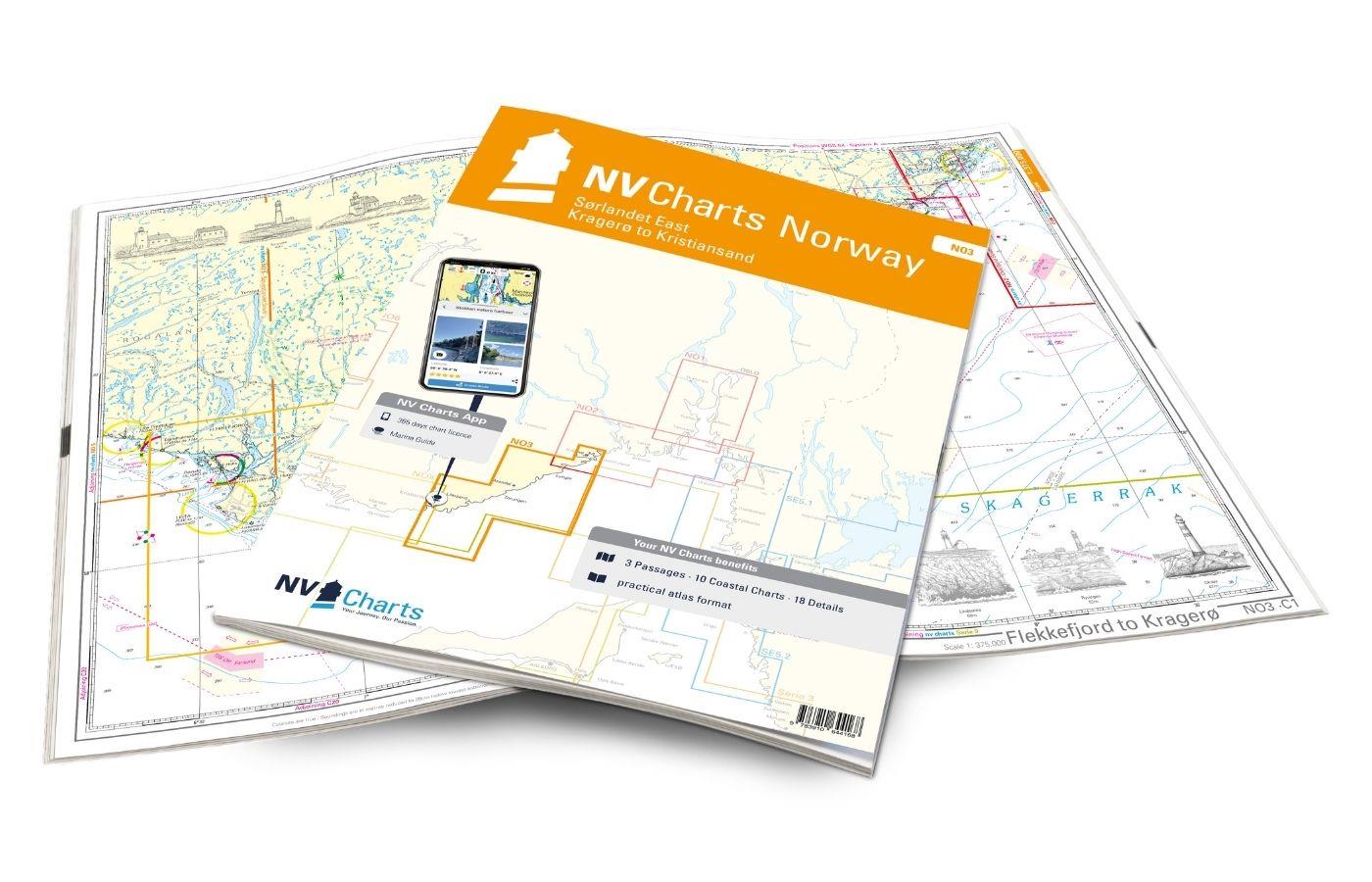
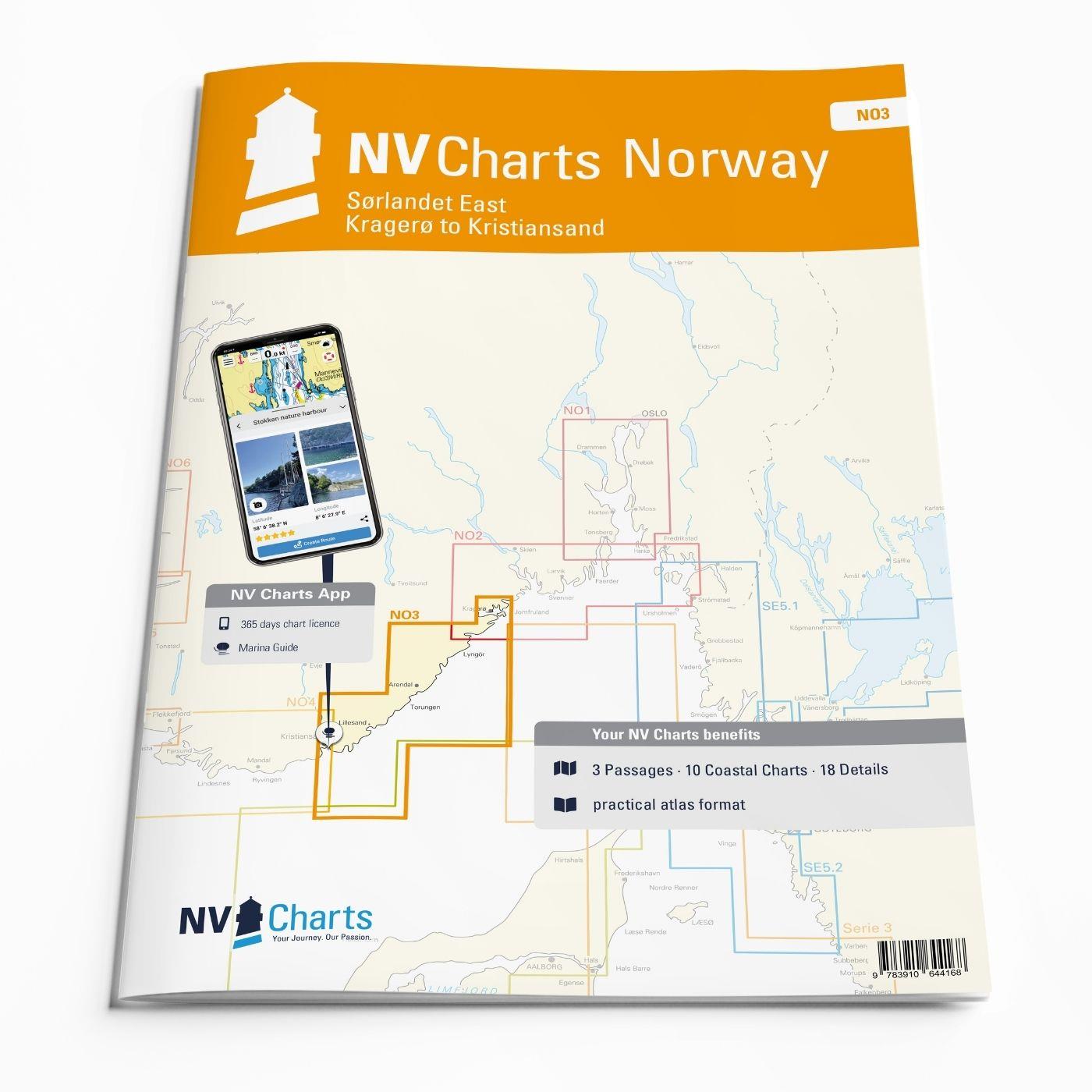
NV Charts Norway NO3 - Sørlandet East - Kragerø to Kristiansand

App charts included
Edition: 2023
Edition Date: 17.04.2023

€74.99*


Product number: 7423

Description

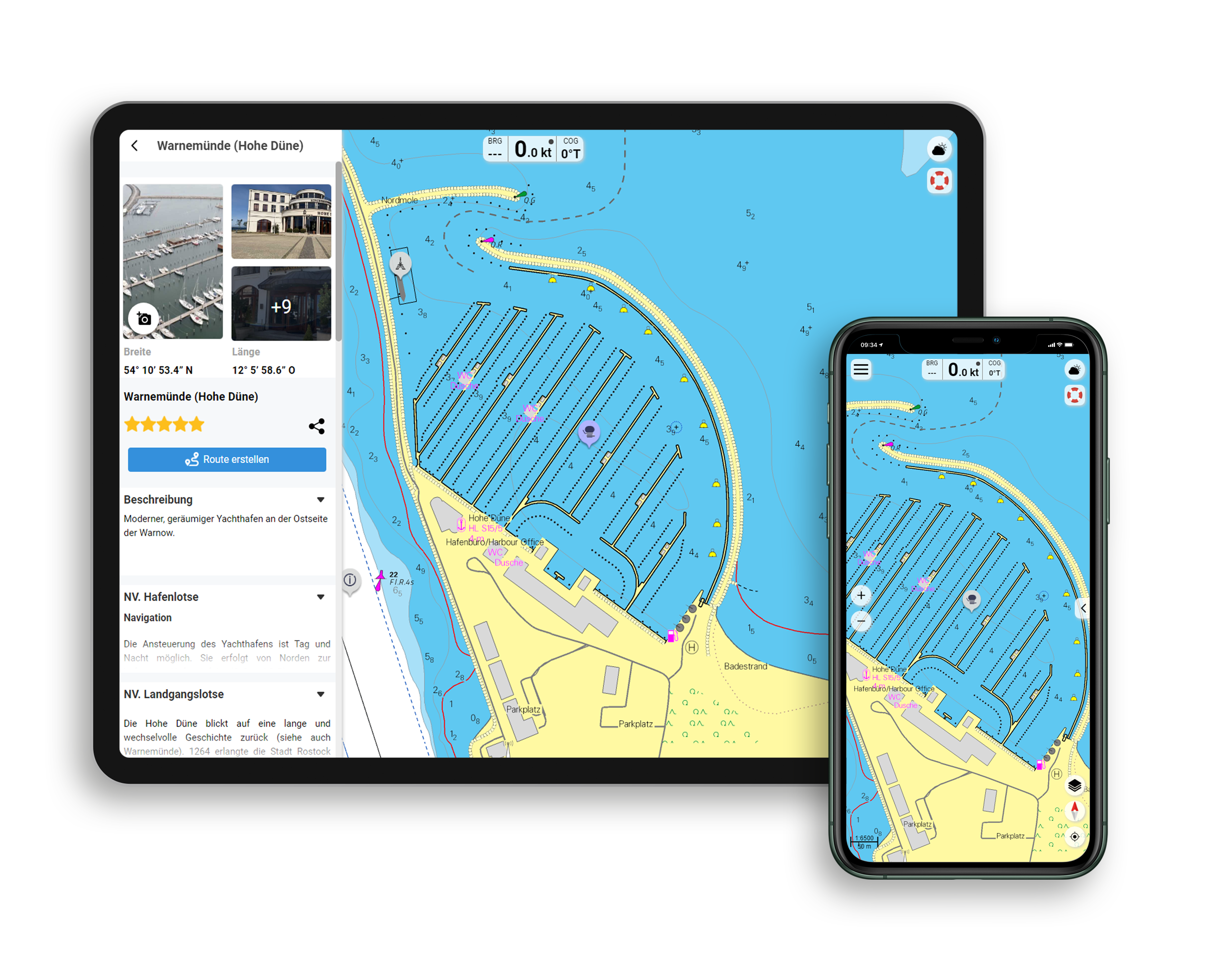
The NV Charts Norway Atlas NO3 covers the southern coast of Norway up to Kristiansand. NV charts for the Norwegian coast are based on data from the Norwegian Hydrographic Office and also include the harbour plans of the "Norske Los" as well as numerous, specially mapped details. The clear structure means that approaches, harbours and anchorages can be found quickly, and important navigational details that also appear in the NV Charts app are pointed out. Tidal data is available in tables and also as a chart on paper. The chart series impresses with its optimal dimensions and balanced sheet sections.

Overview of regions

From the popular Kragerø you can use this set of maps to make your way relatively safely along the beautiful coastline with its 500 or so small islands via Risør towards Kristiansand. The climate becomes milder and you reach Norway's southern coast, where the Skagerrak meets the North Sea. From there, you can either continue along the Norwegian coast on the NO4 or cross the Limfjord on the 9 series towards Skagen.

We recommend the NV Charts Norway NO4 which accompanies you safely from Kristiansand via Lindesnes to Flekkefjord. The Havneguide 2 which offers many insider tips with fantastic aerial photographs.

This map set includes

  • 3 &sailors
  • 10 territory cards
  • 18 detailed maps
  • Digital charts for navigation program and NV Charts App 356-day licence
  • Navigation instructions in English and Norwegian
  • Harbour plans paper & digital
  • Fulfils all legal requirements for up-to-date paper charts on board

All advantages at a glance

  • NV Atlas chart format: Practical, handy atlas format, opened in A2, closed in A3 format, flat staple binding in the centre - makes it easy to work with the course triangle
  • NV Charts app: including access code to the digital nautical charts of the purchased area in the NV Charts app with 365-day licence, for offline navigation with the app on iOS, Android, PC, Mac or in the web browser, comprehensive harbour manual
  • Extremely detailed: Nautical charts based on data from official surveys, particularly detailed outside the main fairways
  • Optimised for recreational boating

Functions of the NV Charts app

  • Flexible autorouting
  • Satellite overlay
  • Augmented reality
  • VMG (Velocity Made Good)
  • BoatView harbour guide
  • Track recording
  • AIS connection and much more.
Find out more now

Charts and measures included

Übersegler

C1 Flekkefjord to Kragerø 1: 375,000 , C20 Norway - Oslo to Mo-i-Rana 1: 1,750,000 , C21 Norway - Mo-i-Rana to Kirkenes 1: 1,750,000

District maps

C2 Kristiansand - Flekkerøya to Kvåsefjord 1: 40,000 , C3 Kvåsefjord to Lillesand 1: 40,000 , C4 Lillesand to Homborøya 1: 40,000 , C5 Homborøya to Fevik - Grimstad 1: 40,000 , C6 Fevik to Arendal 1: 40. 000 , C7 Arendal to Kilsund 1: 40,000 , C8 Kilsund to Lyngør - Tvedestrandfjord 1: 40,000 , C9 Lyngør to Risør 1: 40,000 , C10 Risør Approach 1: 40,000 , C11 Kragerø Approach 1: 40,000

Detailed maps

C12 Blindleia - Kvåsefjord 1: 20,000 , C13 Blindleia - Høvåg 1: 20,000 , C14 Blindleia - Lillesand 1: 20,000 , C15 Kristiansand Approach 1: 10,000 , C16 Valøyene to Bjorøya - Grimstad 1: 20,000 , C17 Arendal 1: 20,000 , C18A Klåholmen 1: 10,000 , C18B Gjernes 1: 5. 000 , C18C Tvedestrand 1: 5,000 , C18D Snaresund 1: 5,000 , C18E Lyngør- Gjeving 1: 5,000 , C18F Risør 1: 10,000 , C18G Dalesund - Bjørkesund 1: 10. 000 , C19A Kragerø 1: 10,000 , C19B Portør 1: 5,000 , C19C Homborgsund 1: 10,000 , C19D Grønholmgapet 1: 10,000 , C19E Grimstad 1: 5,000

App License: NV Charts App
Format: NV Atlas, Gebundener Kartensatz
Size: Atlas
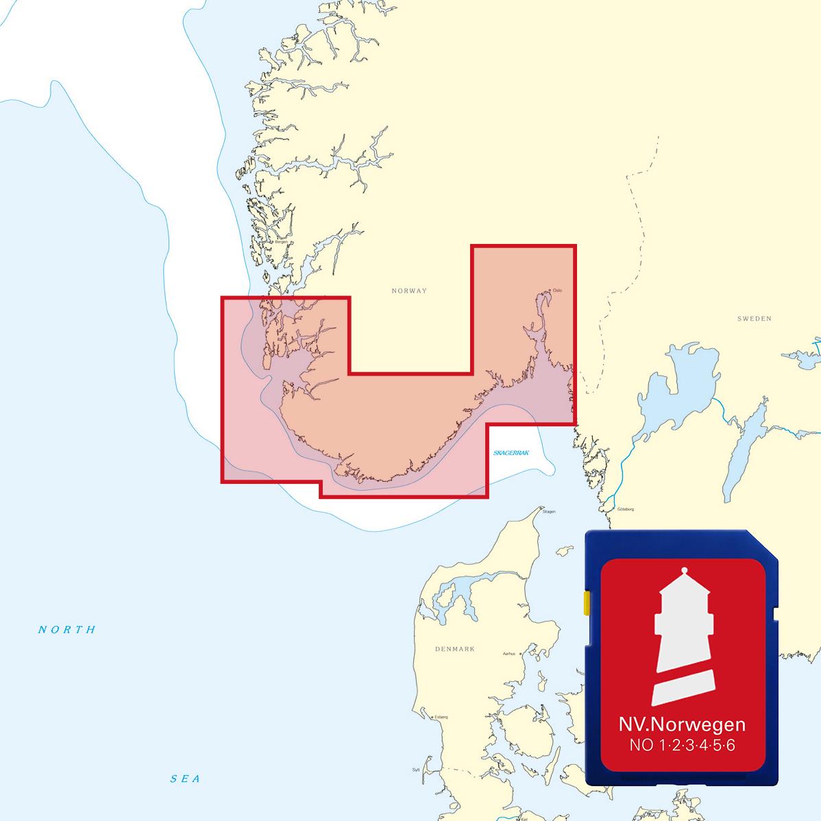
Area preview

With the help of our area preview, you can get an impression of which geographical region the product deals with or which areas a nautical chart covers.

Related products to this item

Related products to this item

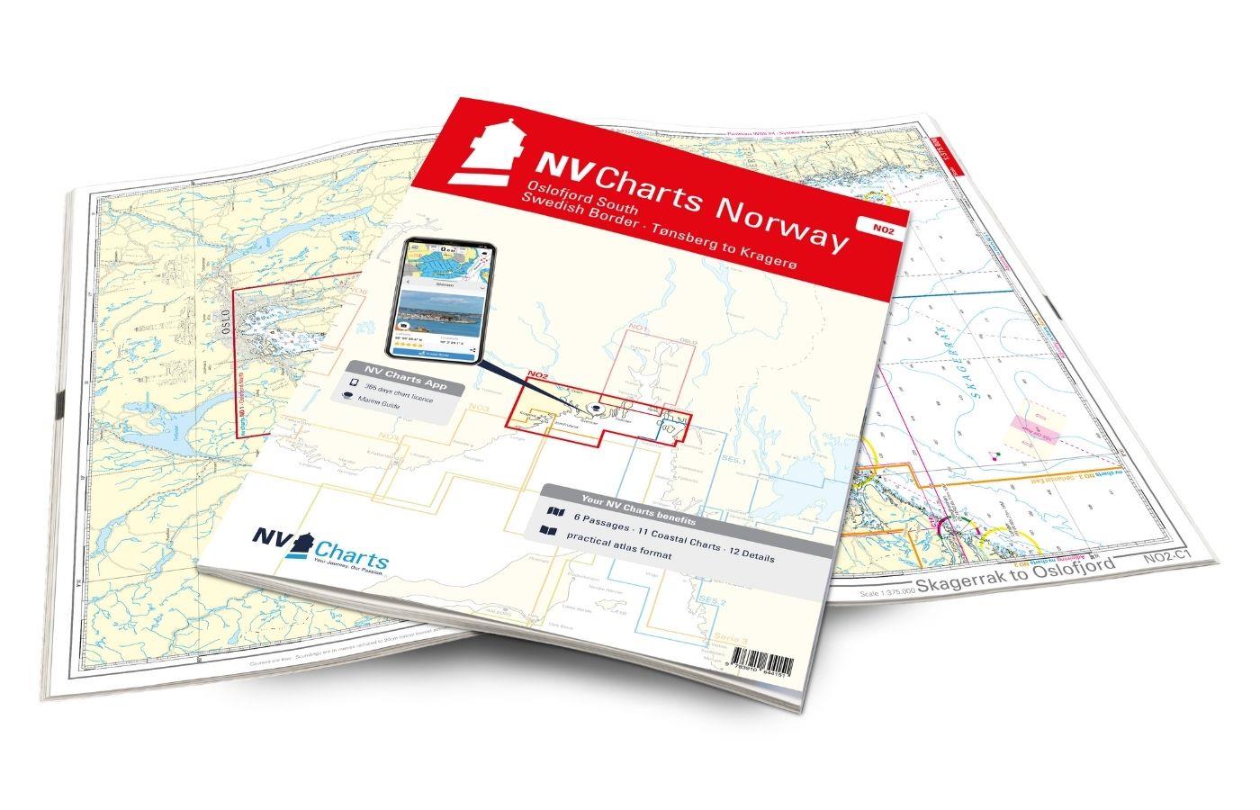
NV Charts Norway NO2 - Oslofjord Sør, Svenska Grensen til Kragerø
The NV Charts Atlas NO2 covers the southern Oslofjord. NV Charts for the Norwegian coast are based on data from the Norwegian Hydrographic Office and also include the harbour plans of the "Norske Los"

€74.99*
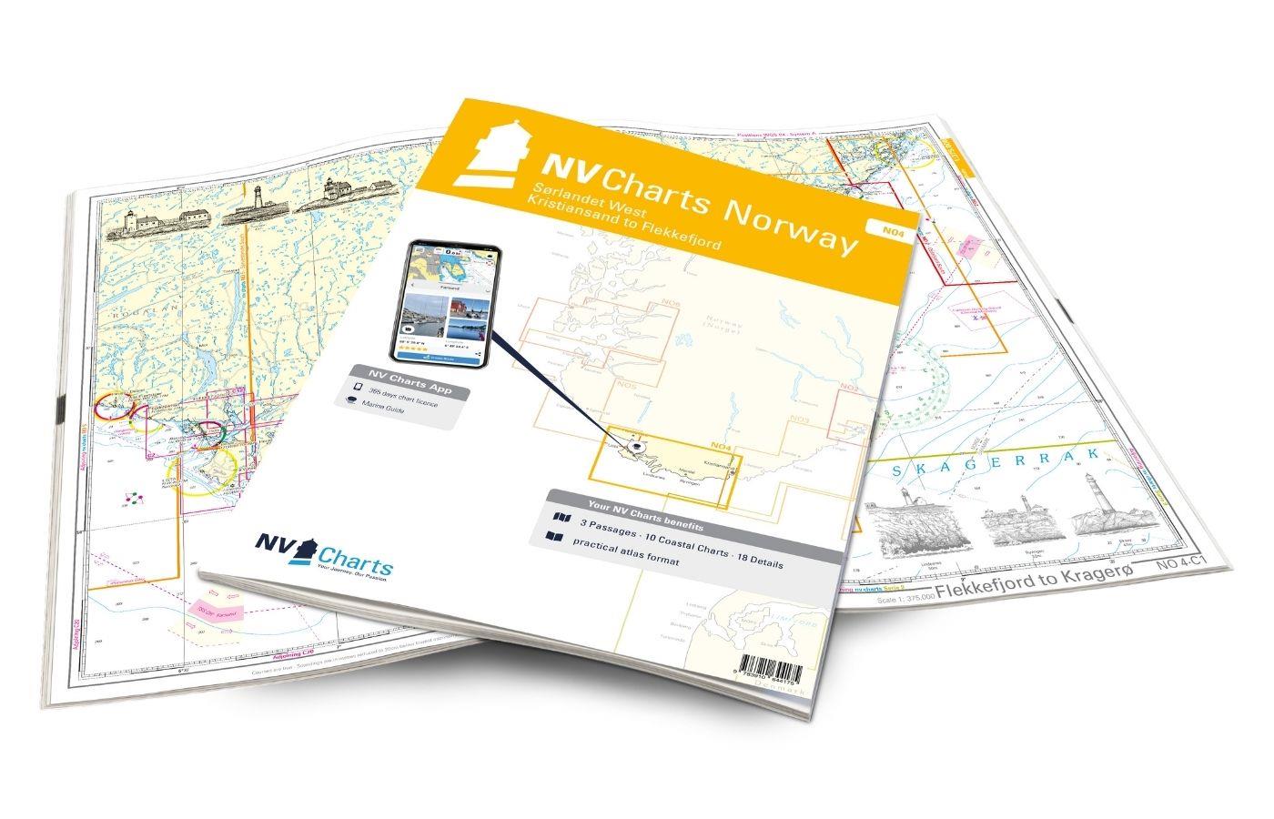
NV Charts Norway NO4 - Sørlandet Vest - Flekkefjord til Kristiansand
If you want to travel from North Jutland directly to the south-west coast of Norway, you should take the NV Charts Norway NO4 on board. The NV Charts for the Norwegian coast are based o

€74.99*
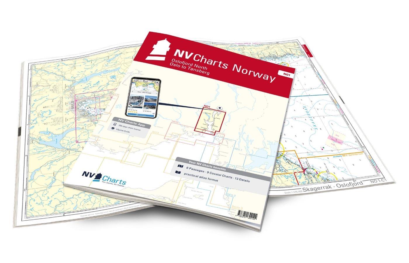
NV Charts Norway NO1 - Oslofjord Nord, Oslo to Tønsberg
The NV Charts Norway Atlas NO1 covers the region around Oslo. NV Charts charts for the Norwegian coast are based on data from the Norwegian Hydrographic Office and also include the harbour plans of th

€74.99*
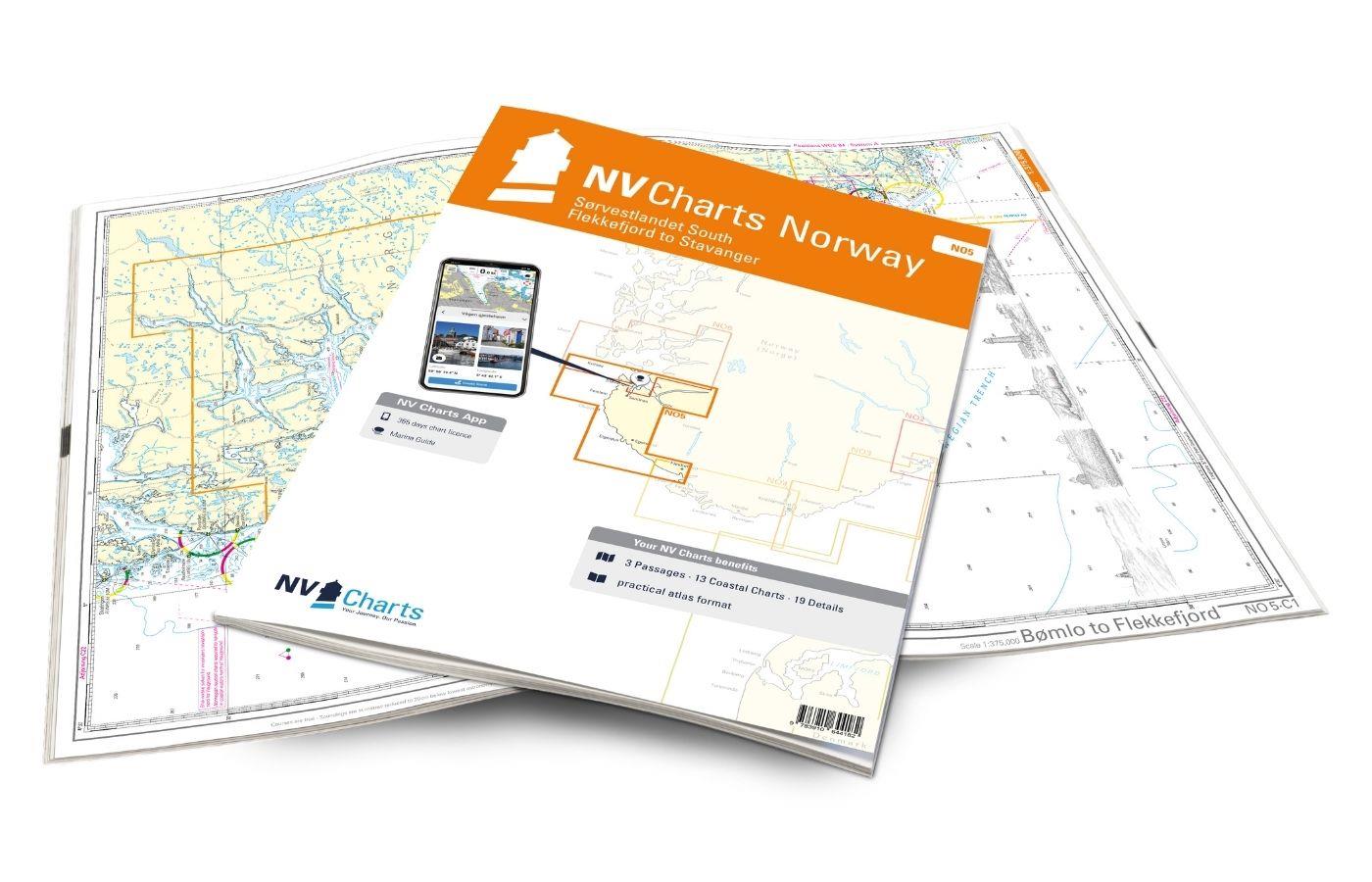
NV Charts Norway NO5 - Sørvestlandet Sør - Flekkefjord til Stavanger
Your companion for the southwest coast of Norway: The NV Charts Norway NO5 . NV Charts for the Norwegian coast are based on data from the Norwegian Hydrographic Office and also include the h

€74.99*
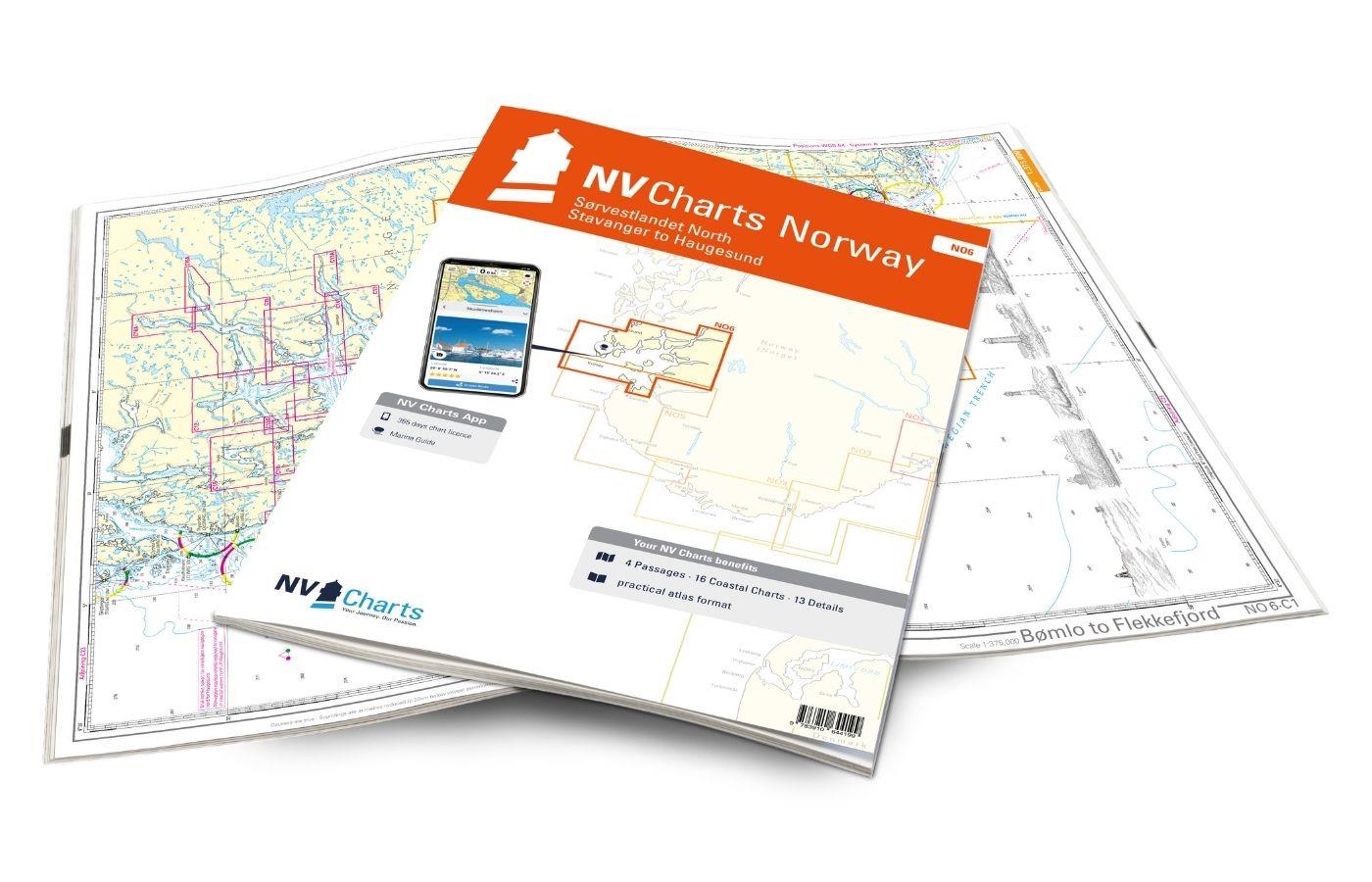
NV Charts Norway NO6 - Sørvestlandet Nord - Stavanger til Haugesund
Would you like to travel to the fairytale fjords on the south-west coast of Norway? The NV Charts Norway NO6 Atlas is your reliable partner. NV Charts for the Norwegian coast are based

€74.99*
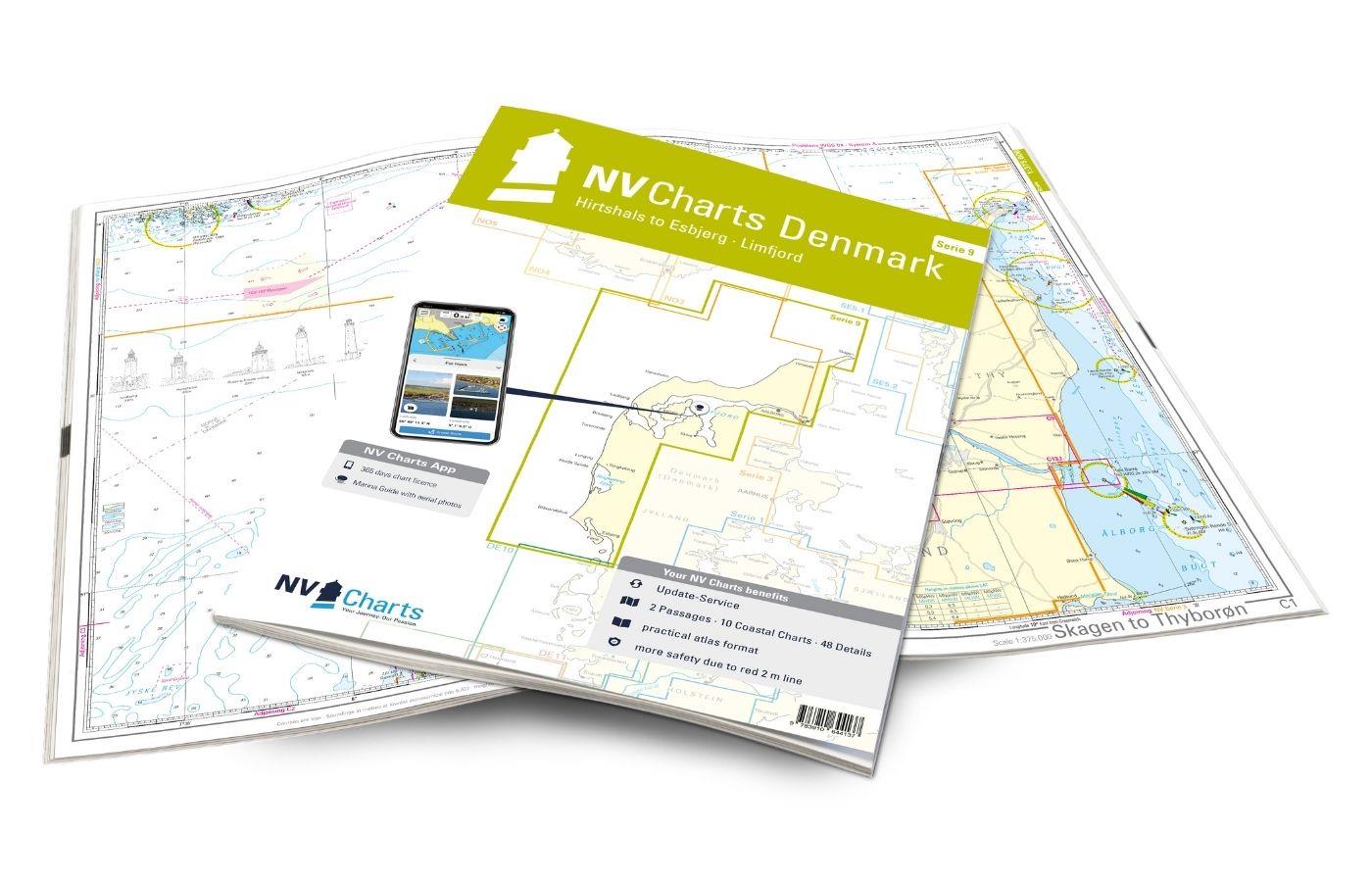
NV Charts Denmark Serie 9 - Hirtshals to Esbjerg & Limfjord
The Danish west coast and the Limfjord are among the most popular holiday regions in the Scandinavian country. The coast is known for its endless, fine sandy beaches. The Limfjord is an elongated soun

€64.99*
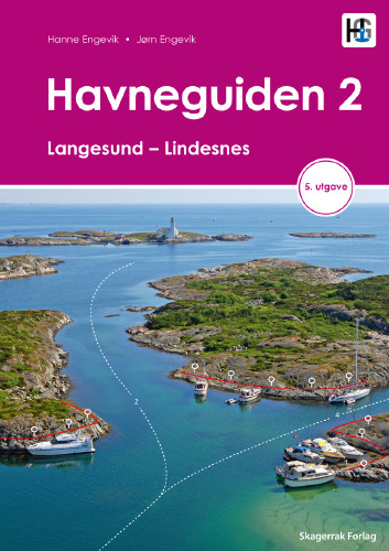
Havneguiden 2 Landesund - Lindesnes
The sophisticated south-east coast of the Oslofjord is much easier to conquer when Havneguide 2 is allowed to accompany you.This Norwegian-produced harbour guide introduces you to 293 harbours, anchor

€74.90*

Products near this article

Products near this article

NV Norwegen Plotterseekarten
Maps & Port plans of the series NO 1 NO 2 NO 3 NO 4 NO 5 & NO6Discover Norway the land of 1000 fjords with plotter sea charts from NV Verlag. All 6 NV Norway sets are included on this map chip m

€129.99*
NV Charts Norway NO2 - Oslofjord Sør, Svenska Grensen til Kragerø
The NV Charts Atlas NO2 covers the southern Oslofjord. NV Charts for the Norwegian coast are based on data from the Norwegian Hydrographic Office and also include the harbour plans of the "Norske Los"

€74.99*
NV Charts Denmark Serie 9 - Hirtshals to Esbjerg & Limfjord
The Danish west coast and the Limfjord are among the most popular holiday regions in the Scandinavian country. The coast is known for its endless, fine sandy beaches. The Limfjord is an elongated soun

€64.99*
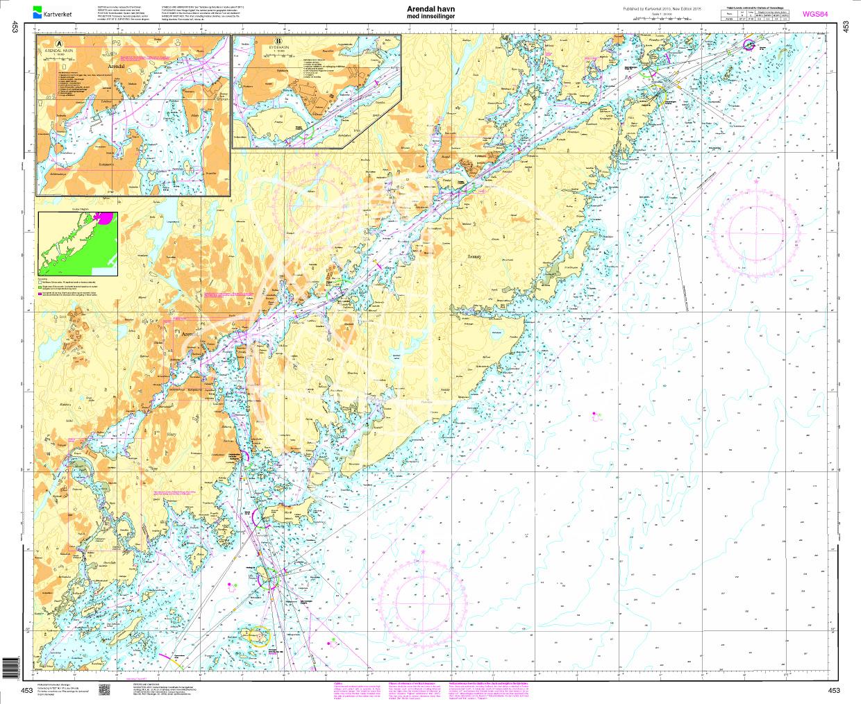
N 453 POD
Arendal havn. Den Norske Kyst. - POD cards are excluded from exchange.

€27.70*
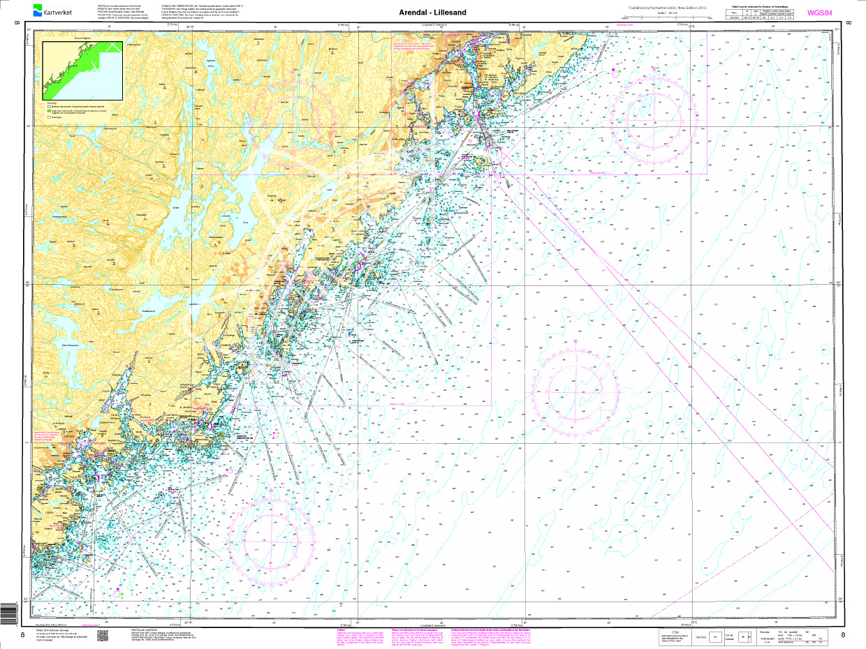
Norwegen N 8 Südnorwegen von Arendal bis Lillesand
The Map N 8 covers a part of the Norwegian south coast at the Skagerrak from Arendal to Lillesand including the offshore archipelago. The detailed scale is 1:50000. We print th

€27.70*
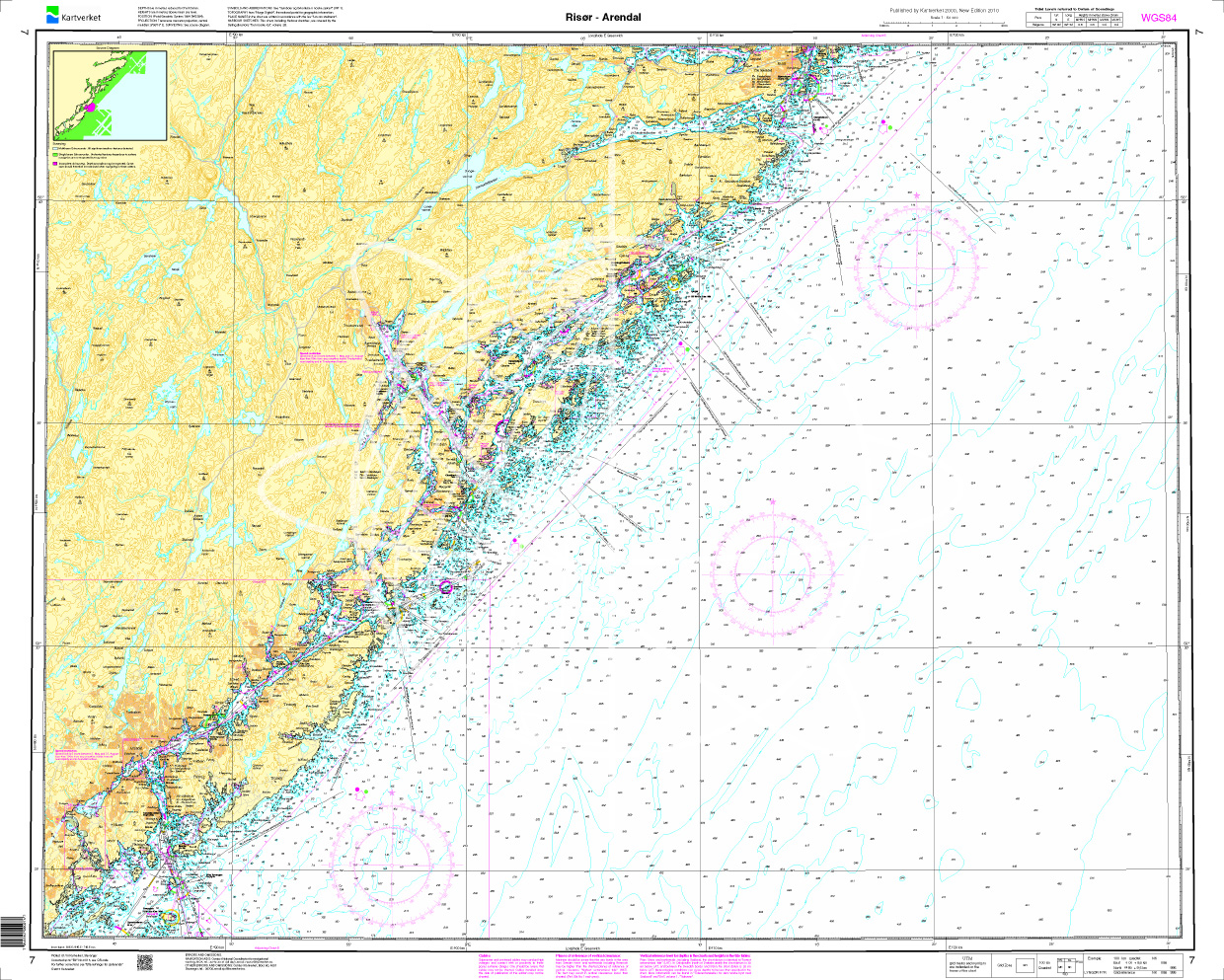
Norwegen N 7 von Risør bis Arendal
The Sea Chart N 7 covers the western coast of the Oslofjord including all offshore archipelagos from Risør to Arendal. The detailed scale is 1:50000. We print the map on customer reque

€27.70*
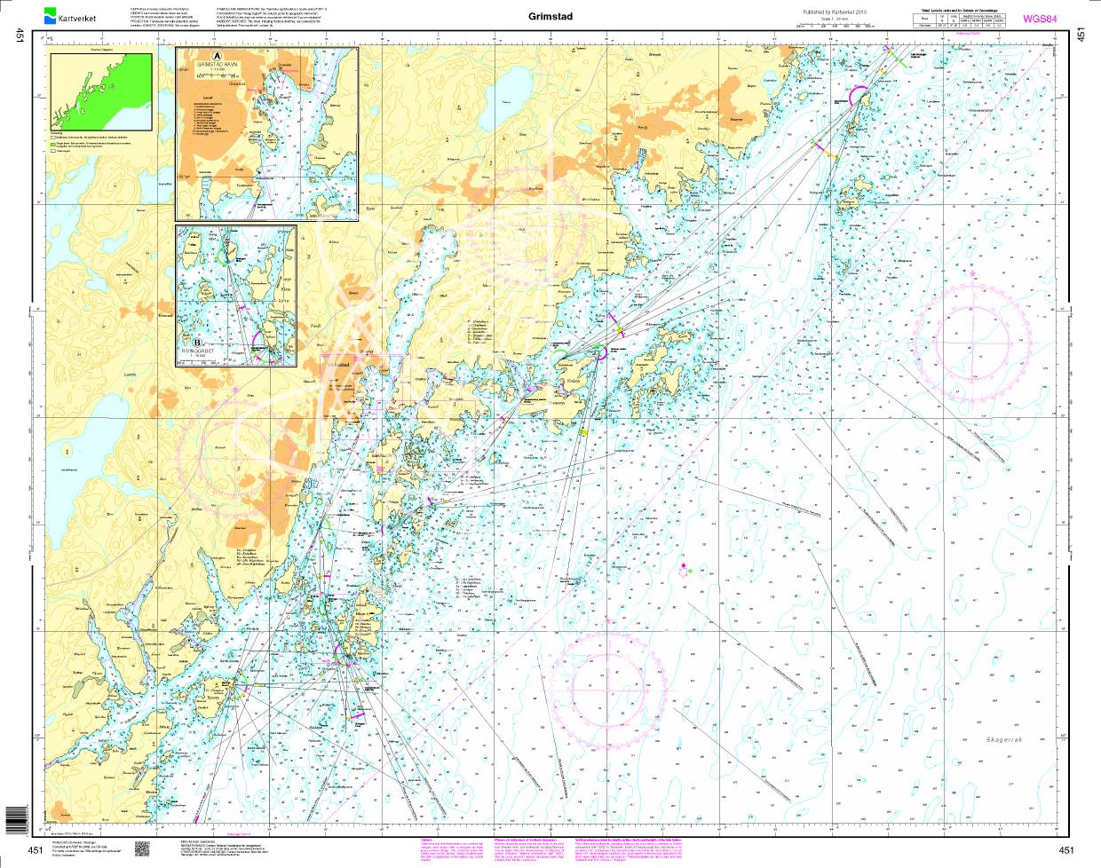
N 451 POD
Grimstad. - POD cards are not exchangeable.

€27.70*
Havneguiden 2 Landesund - Lindesnes
The sophisticated south-east coast of the Oslofjord is much easier to conquer when Havneguide 2 is allowed to accompany you.This Norwegian-produced harbour guide introduces you to 293 harbours, anchor

€74.90*
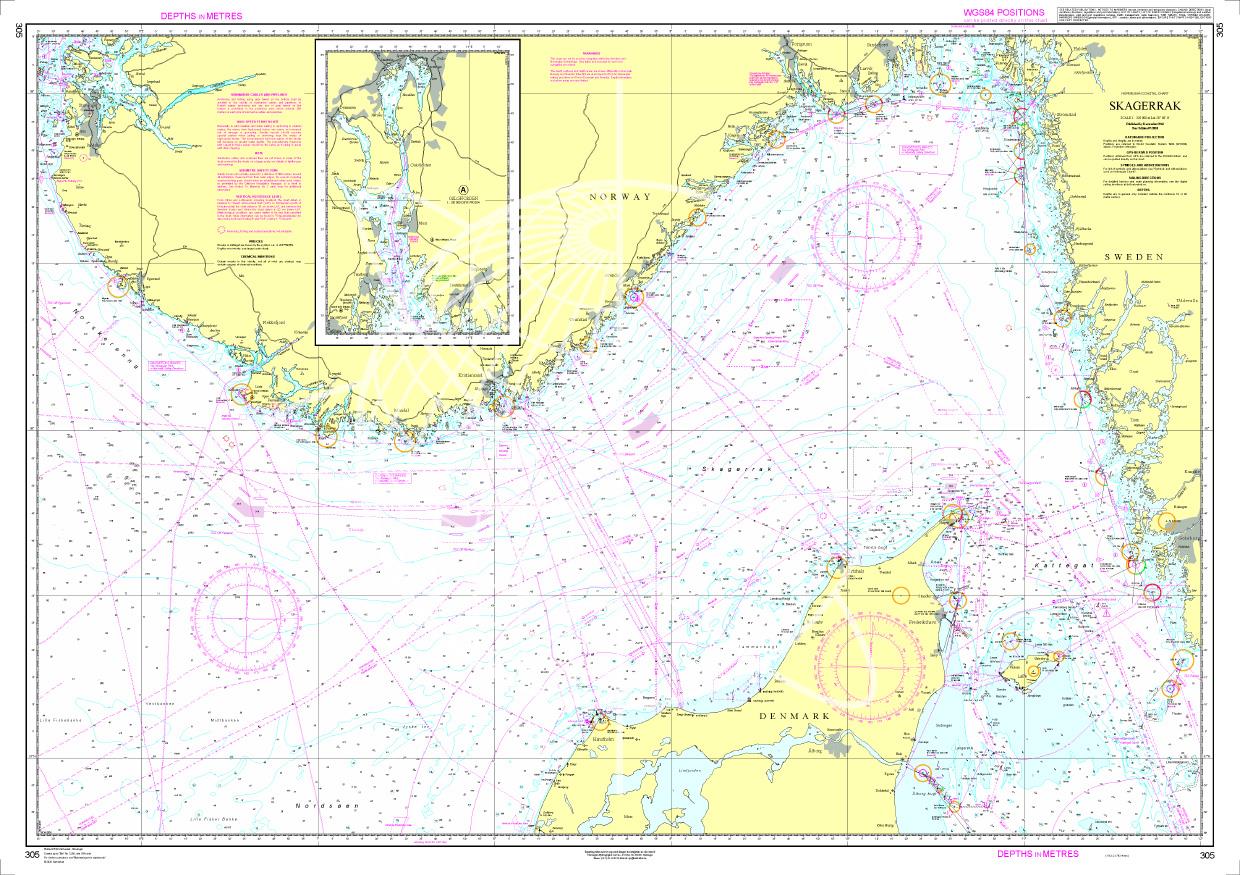
Norwegen N 305 - Skagerrak
The Sea Chart N 305 covers the Skagerrak between the Norwegian south coast Skagen and the Swedish west coast. In addition the Oslofjord up to Oslo is shown at the same scale as a supplement. Sea chart

€27.70*
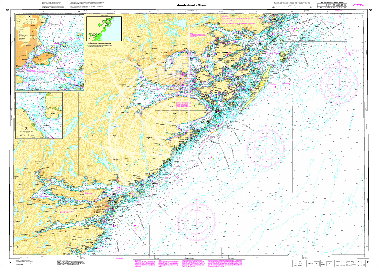
Norwegen N 6 Südnorwegen Jomfruland - Risør
The Sea Chart N 6 covers the western coast from the Oslofjord including all offshore islands at altitude from Jomfruland to the wooden boat mecca Risør The detailed scale is 1:50.000. We&n

€27.70*
ADMIRALTY NP56 Norway Pilot Vol 1
Official ADMIRALTY Sailing Directions for Norway (South Coast)The Skagerrak and the coast of Norway from Egersund/Jaerens Rev to the Norwegian/Swedish border and on to Marstand are covered in detail.

€109.90*

Reviews

0 of 0 reviews

Leave a review!

Share your experiences with other customers.