NV Charts Caribbean 12.2 - Leeward Islands
Description
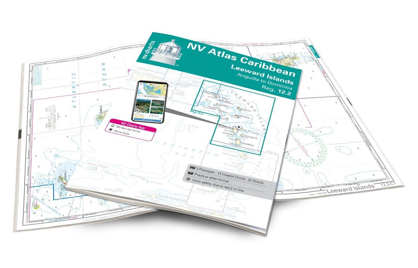
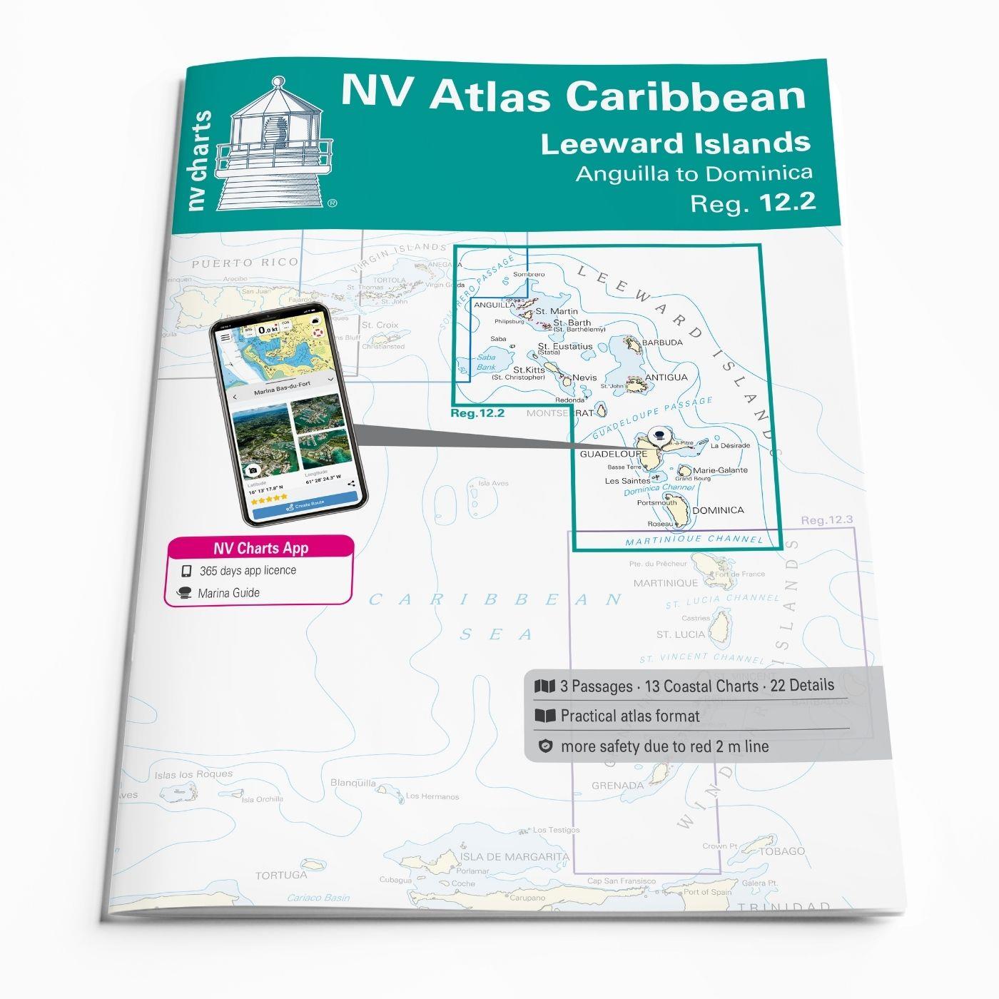
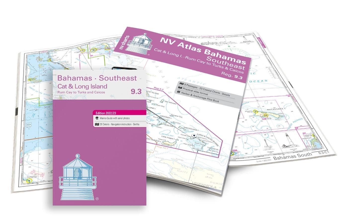
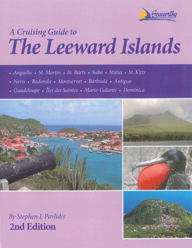
With the NV Charts Caribbean 12.2 Atlas you have the perfect companion for the Leeward Islands from Anguilla to Dominica at your side. Thanks to the clear layout, you can find approaches, harbours and anchorages quickly and are informed of navigationally important details that also appear in the NV Charts app. The chart series impresses with its optimal dimensions and balanced sheet sections.
Regions overview
The Leeward Islands are part of the Lesser Antilles and stretch from Anguilla in the north to Dominica in the south. They offer an impressive mix of breathtaking landscapes, rich culture and perfect sailing conditions.
Each island has its own unique and beautiful beaches (e.g. Shoal Bay on Anguilla and Pinney's Beach on Nevis). The underwater world of the Leeward Islands is truly breathtaking - the marine reserve around Saba and the underwater reefs of Jacques Cousteau off Guadeloupe are just two highlights. If you're more interested in historical sites than diving, why not visit Brimstone Hill Fortress on St Kitts, Nelson's Dockyard on Antigua or Fort Louis in Marigot, St Martin? Hike to the active Soufrière Hills Volcano on Montserrat or explore the Morne Trois Pitons National Park on Dominica.
Tip: With the charts NV Charts Caribbean 11.1 and 12.1 you can explore the western Virgin Islands and the Dominican Republic. The NV Charts Caribbean 12.3 Atlas includes the Windward Islands further south.
This chart set includes
- 3 &sailors
- 13 territory maps
- 22 detailed maps
- Digital charts for navigation program and NV Charts App 356-day licence
- In English language
- Fulfils all legal requirements for current paper charts on board
All advantages at a glance
- NV Atlas chart format: Practical, handy atlas format, opened in A2, closed in A3 format, flat staple binding in the centre - makes it easy to work with the course triangle
- NV Charts app: including access code to the digital nautical charts of the purchased area in the NV Charts app with 365-day licence, for offline navigation with the app on iOS, Android, PC, Mac or in the web browser, comprehensive harbour manual
- Extremely detailed: Nautical charts based on data from official surveys and own surveys, particularly detailed outside the main fairways
- Optimised for recreational boating
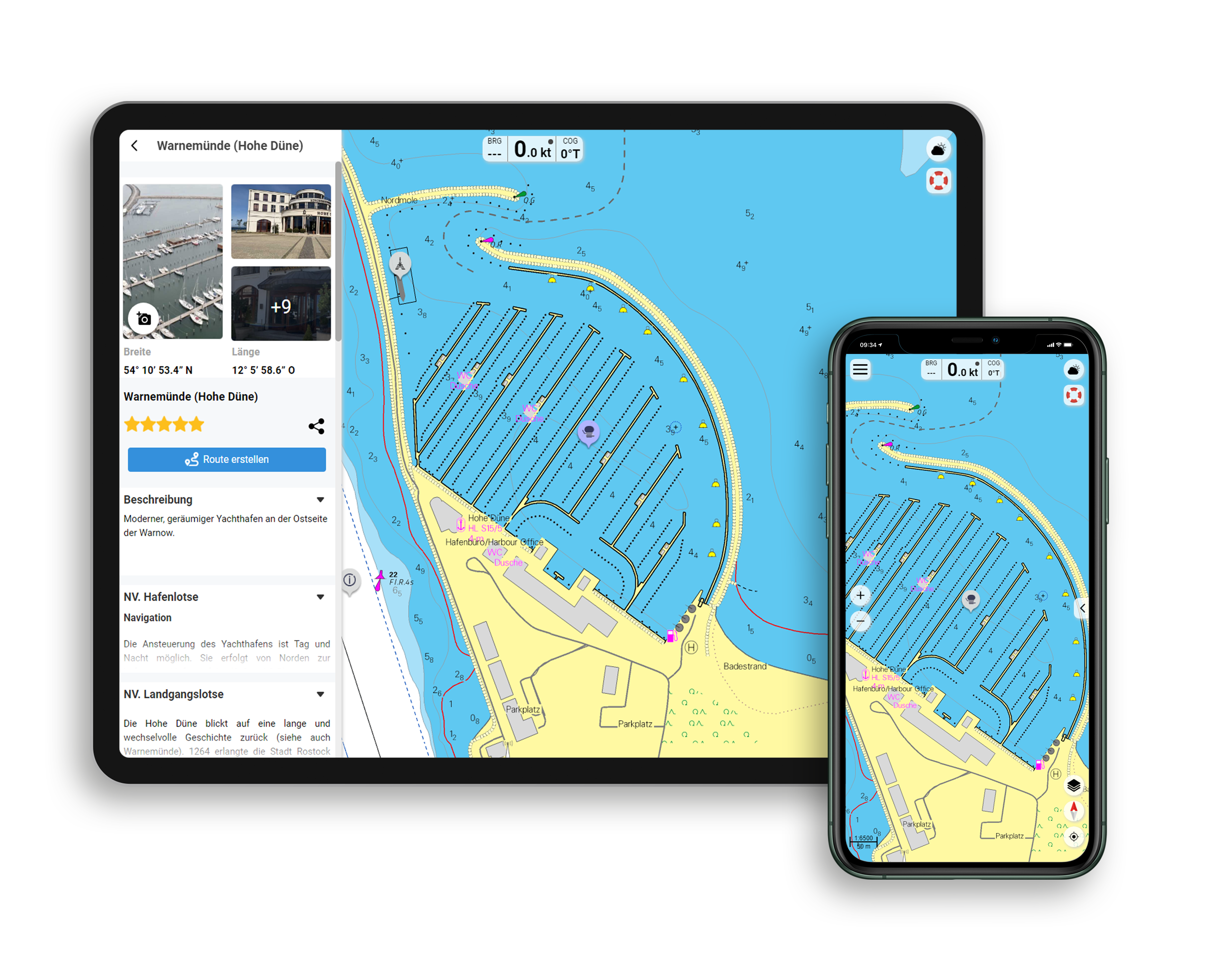
Functions of the NV Charts app
- Flexible autorouting
- Satellite overlay
- Augmented reality
- VMG (Velocity Made Good)
- BoatView harbour guide
- Track recording
- AIS connection and much more.
Charts and measures included
Übersegler
C1 Leeward Islands 1: 900,000, C2 Anguilla to Antigua 1: 500,000, C3 Antigua to Martinique 1: 500,000
Territory maps
C4 Anguilla to St. Martin 1: 90,000, C5 St. Martin to St. Barth 1: 90,000, C6 St. Eustatius to St. Kitts 1: 90,000, C7 St. Kitts to Nevis 1: 90,000, C8A Redonda & Montserrat 1: 90,000, C8B Saba & Saba Bank 1: 60. 000, C9 Barbuda 1: 90,000, C10 Antigua 1: 90,000, C11 Guadeloupe - North 1: 90,000, C12 Guadeloupe - Southwest 1: 90,000, C13 Guadeloupe - Southeast 1: 90,000, C14 Guadeloupe - East 1: 90,000, C15 Dominica 1: 90,000
Detailed maps
C16A Anguilla - Road Bay 1: 15,000, C16B St. Barth - Port de Gustavia 1: 15,000, C17 St. Martin - Simpson Bay 1: 25,000, C18 Guadeloupe - Rivière Salée 1: 40,000, C19A Anse Deshaies 1: 10. 000, C19B Marina Rivière Sens 1: 10,000, C19C Pointe-à-Pitre - Marina Bas-du-Fort 1: 10,000, C19D Marina St. François 1: 10,000, C19E Marie-Galante - Grand-Bourg 1: 10. 000, C19F St. Kitts - Basseterre 1: 20,000, C20 Les Saintes 1: 20,000, C21 Antigua - North Sound 1: 35,000, C22A Antigua -Nonsuch Bay 1: 20,000, C22B Barbuda - South Sound 1: 20. 000, C23A Antigua - Jolly Harbour 1: 15,000, C23B Antigua - Falmouth & English Hbr. 1: 15,000, Petit Havre 1:10,000, St. Anne 1:10,000, Isles de la Petite Terre 1:13,000, Grande Anse 1:10,000
Legend - General Notes - p.24
| App License: | NV Charts App |
|---|---|
| Region: | Caribbean |
| Size: | Atlas |
With the help of our area preview, you can get an impression of which geographical region the product deals with or which areas a nautical chart covers.
Related products to this item
Products near this article
Reviews
Login

