NV Charts Caribbean 12.3 - Windward Islands
Description
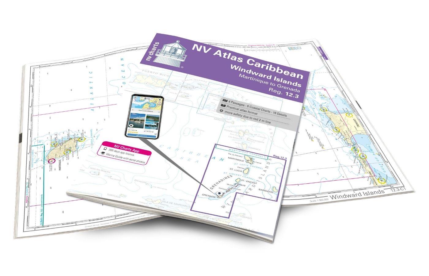
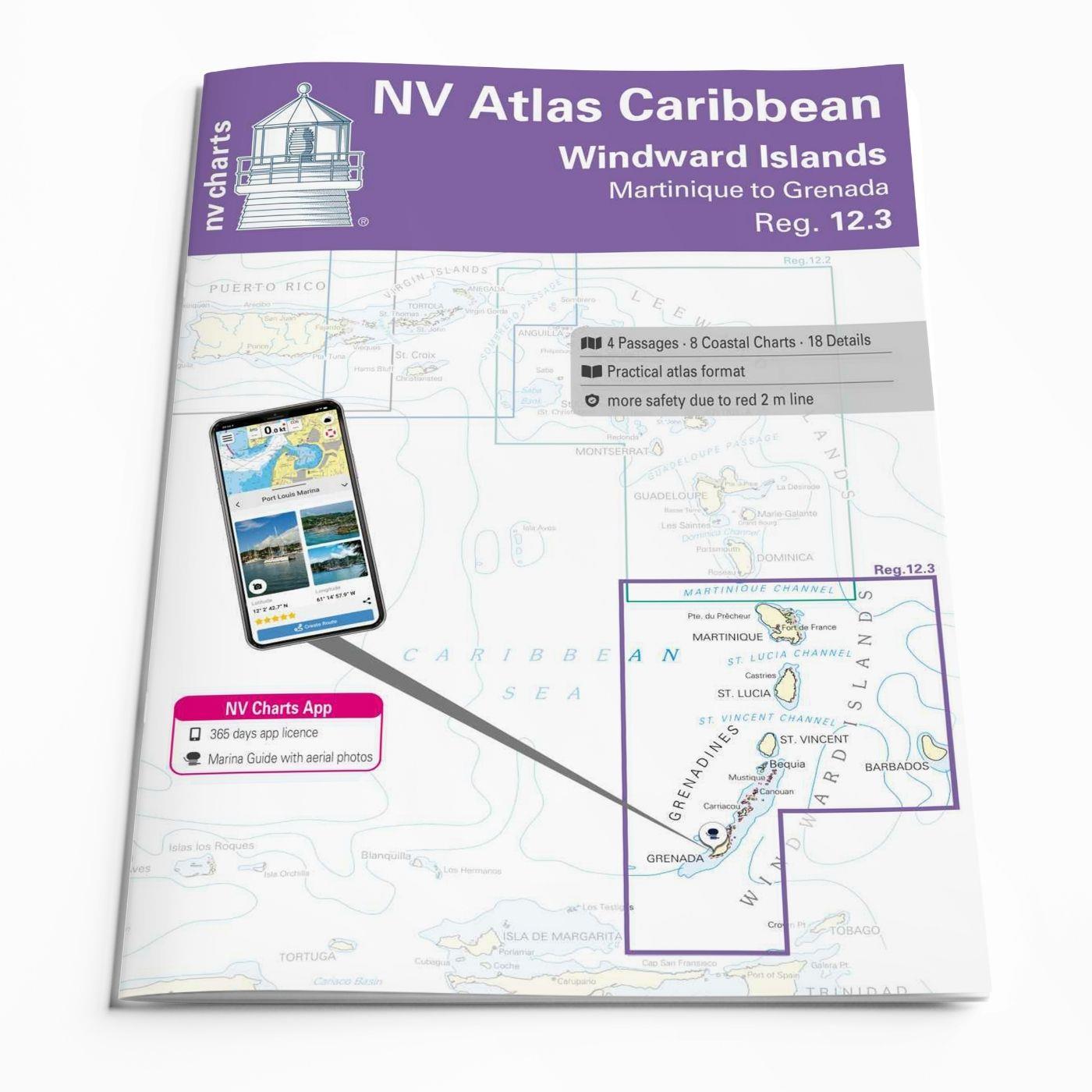
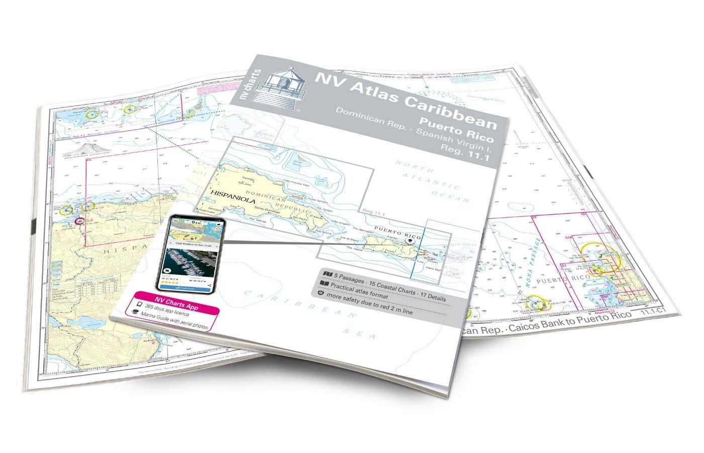
With the NV Charts Atlas Caribbean 12.3 you have the perfect companion for the Windward Islands from Martinique to Grenada at your side. Thanks to the clear layout, you can find approaches, harbours and anchorages quickly and are informed of navigationally important details that also appear in the NV Charts app. The chart series impresses with its optimal dimensions and balanced sheet sections.
Regions overview
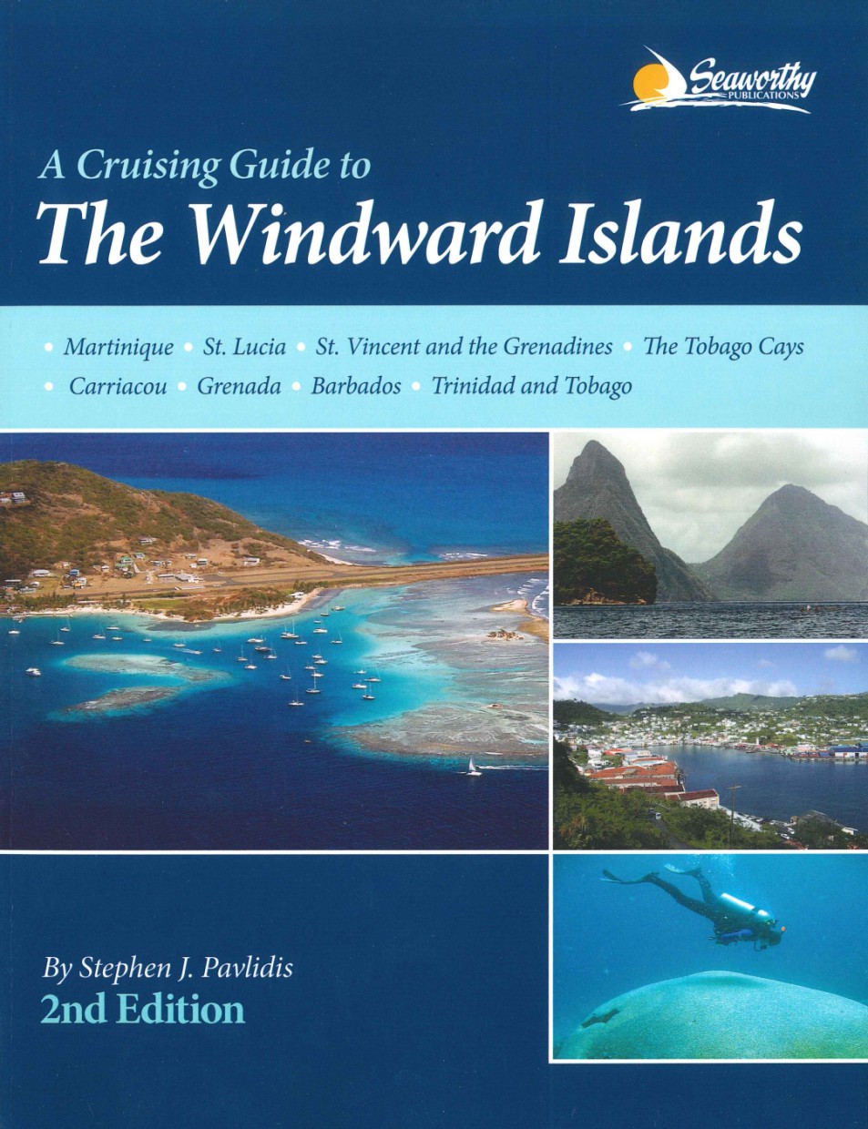
The Windward Islands are another stunning section of the Lesser Antilles in the Eastern Caribbean, encompassing the islands from Martinique in the north to Grenada in the south. For sailors, they offer a combination of breathtaking nature, cultural richness and excellent sailing conditions.
From the black sandy beaches of St Vincent to the picturesque bays of St Lucia and the spice island beaches of Grenada, there are countless places to relax and enjoy. The Tobago Cays on St Vincent and the Grenadines are an absolute must for underwater enthusiasts. Here you can snorkel with sea turtles and marvel at colourful coral reefs. For culture vultures, the lively carnival festival on St. Lucia is a highlight - you can also explore the French-influenced towns on Martinique!
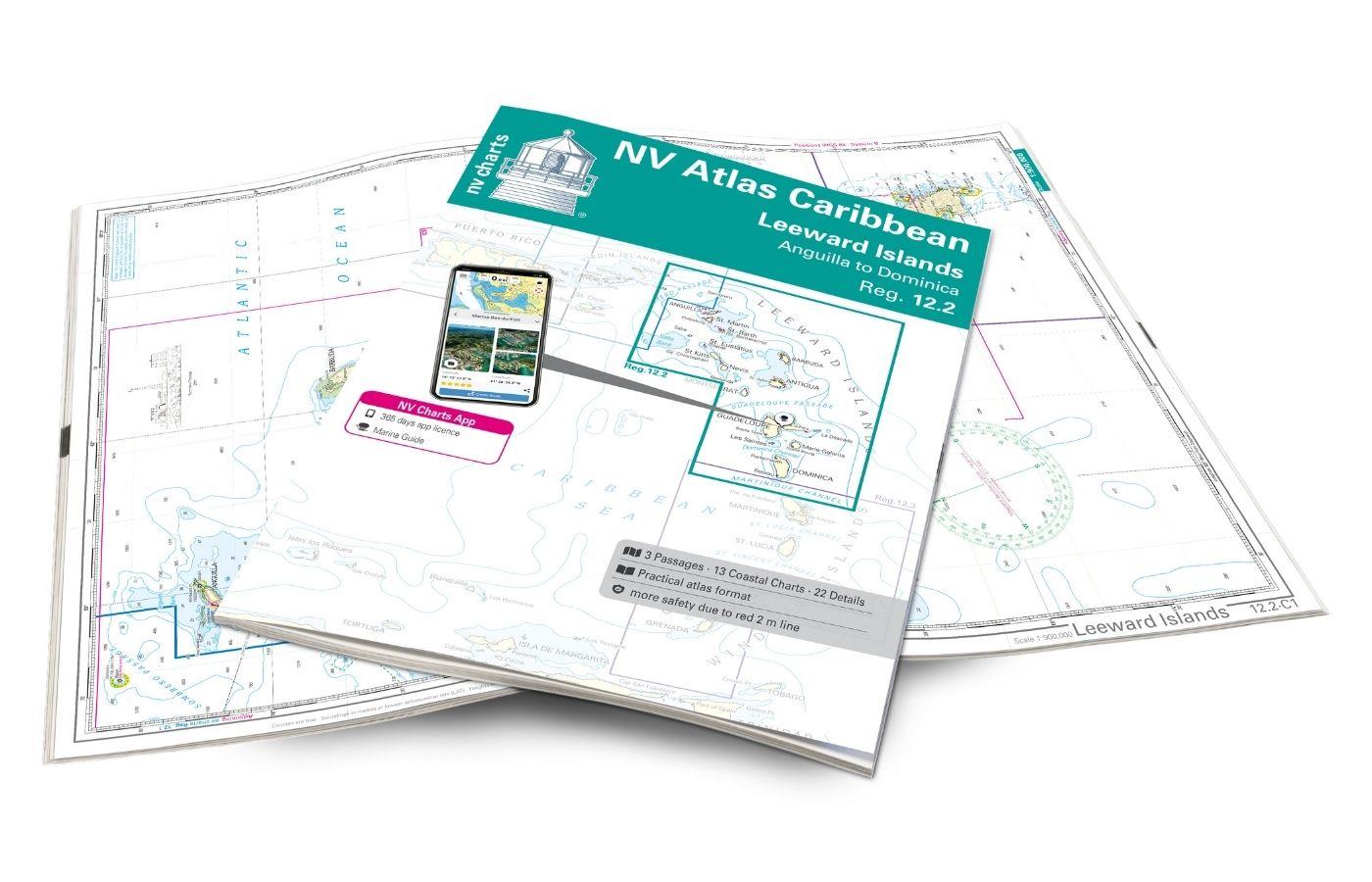
Tip: The NV Charts Atlas Caribbean 12.2 ties in directly with this map set in the north.
This map set includes
- 4 &sailors
- 8 territory cards
- 18 detailed maps
- Digital charts for navigation program and NV Charts App 356-day licence
- In English language
- Fulfils all legal requirements for current paper charts on board
All advantages at a glance
- NV Atlas chart format: Practical, handy atlas format, opened in A2, closed in A3 format, flat staple binding in the centre - makes it easy to work with the course triangle
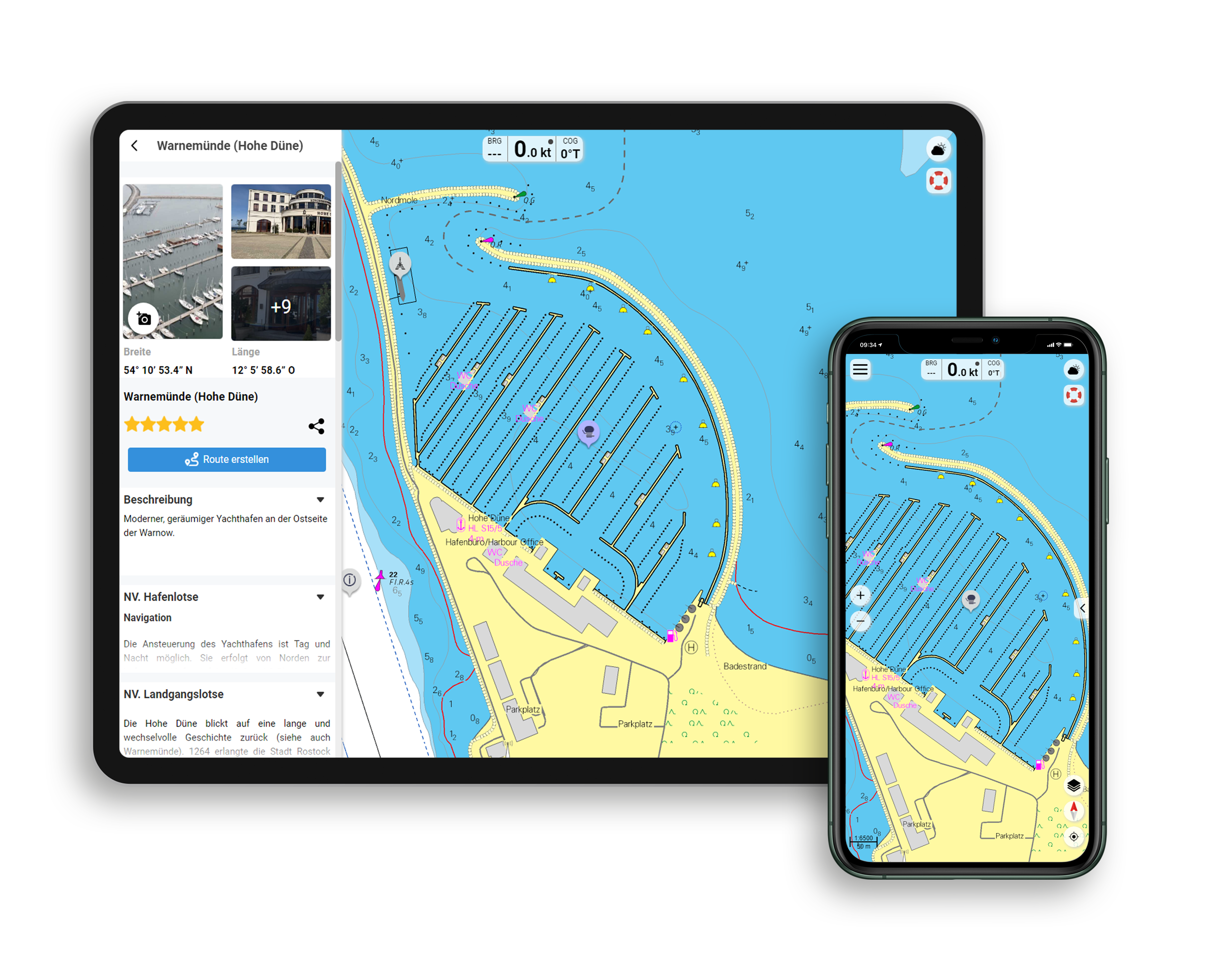
- NV Charts app: including access code to the digital nautical charts of the purchased area in the NV Charts app with 365-day licence, for offline navigation with the app on iOS, Android, PC, Mac or in the web browser, comprehensive harbour manual
- Extremely detailed: Nautical charts based on data from official surveys and own surveys, particularly detailed outside the main fairways
- Optimised for recreational boating
Functions of the NV Charts app
- Flexible autorouting
- Satellite overlay
- Augmented reality
- VMG (Velocity Made Good)
- BoatView harbour guide
- Track recording
- AIS connection and much more.
Charts and measures included
Übersegler
C0 Caribbean Sea 1: 6,500,000, C1 Windward Islands 1: 900,000, C2 Dominica to St Vincent 1: 500,000, C3 St Vincent to Trinidad 1: 500,000
Territory maps
C4 Martinique North 1: 90,000, C5 Martinique South 1: 90,000, C6 St Lucia 1: 90,000, C7 St Vincent to Bequia 1: 90,000, C8 Bequia to Union Island 1: 90,000, C9 Union Island to Grenada 1: 90,000, C10 Grenada 1: 90,000, C11 Barbados 1: 90,000
Detailed maps
C12 Martinique - Fort de France 1: 30,000, C13 Martinique - Cul-de-Sac du Marine 1: 20,000, C14A St.Lucia - Rodney Bay 1: 15,000, C14B St.Lucia - Port Casties 1: 10,000, C14C St. Lucia - Marigot Bay 1: 5,500, C15 St.Vincent - Southwest Coast 1: 15,000, C16A Canouan - Charlestown Bay 1: 15,000, C16B Bequia - Admiralty Bay 1: 15,000, C17A Tobago Cays 1: 30. 000, C17B Union Island - Clifton Harbour 1: 15,000, C18A Petit St. Vincent 1: 30,000, C18B West Carriacou 1: 30,000, C18C Mustique - Britannia Bay 1: 30,000, C19 Grenada Southwest 1: 30. 000, C20A Grenada - St. Georges Approach 1: 10,000, C20B Grenada - Mt.Hartmann Bay 1: 15,000, C20C Barbados - Port St. Charles 1: 5,000, C20D Barbados - Bridgetown Hbr. 1: 19,000
Legend - General Notes - p.22
| App License: | NV Charts App |
|---|---|
| Region: | Caribbean |
| Size: | Atlas |
With the help of our area preview, you can get an impression of which geographical region the product deals with or which areas a nautical chart covers.
Related products to this item
Products near this article
Reviews
Login

