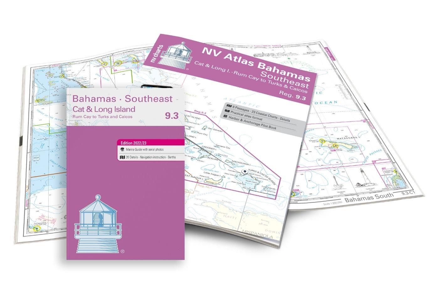
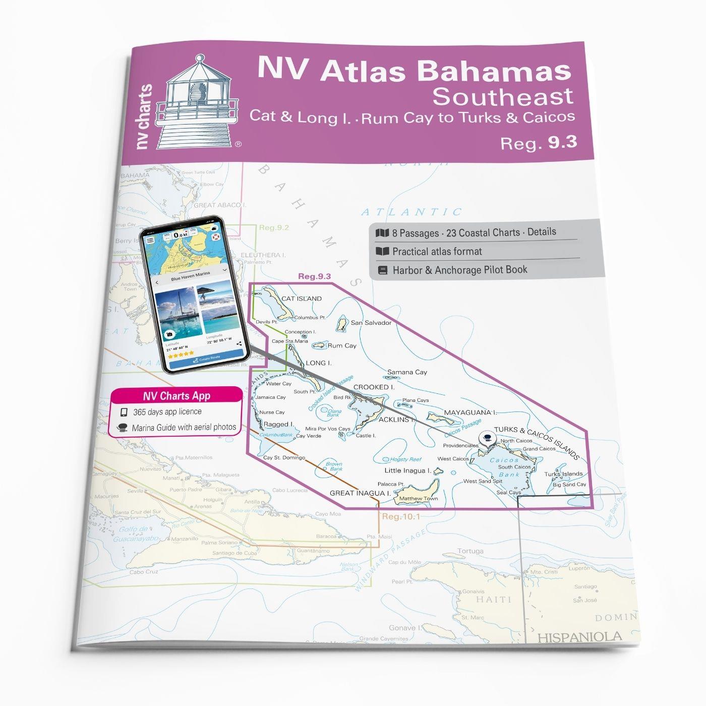
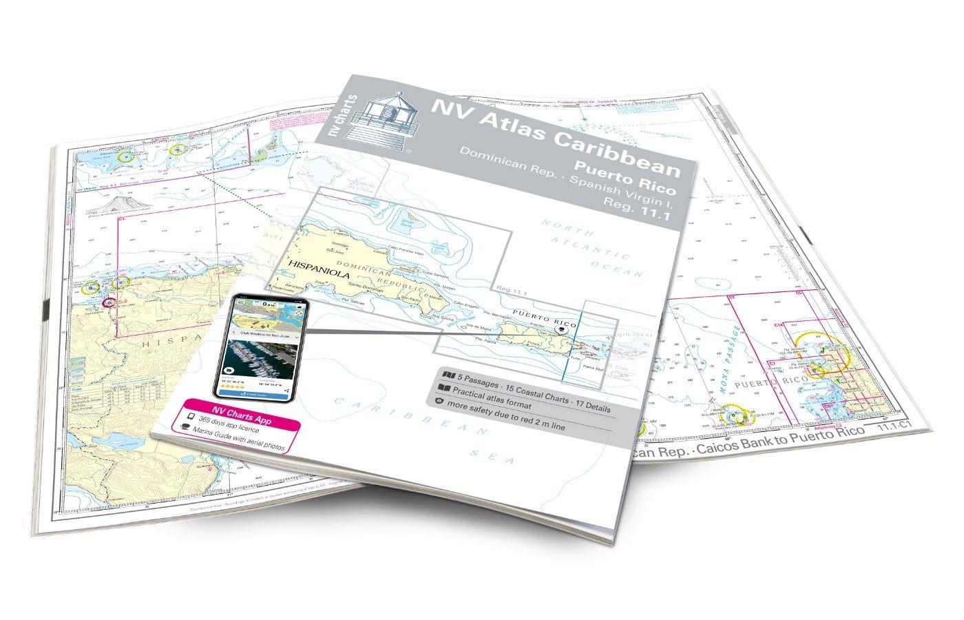
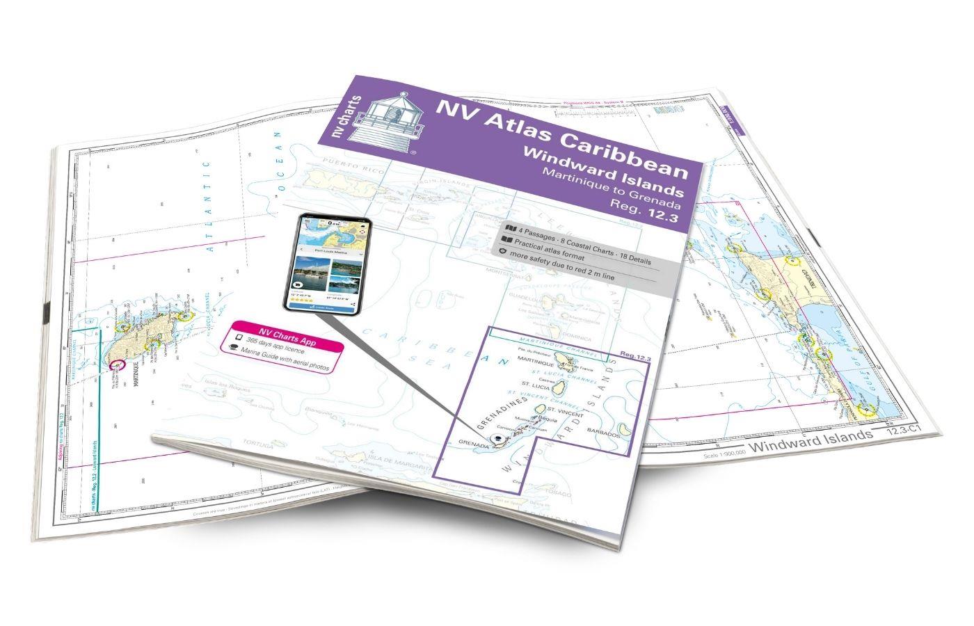
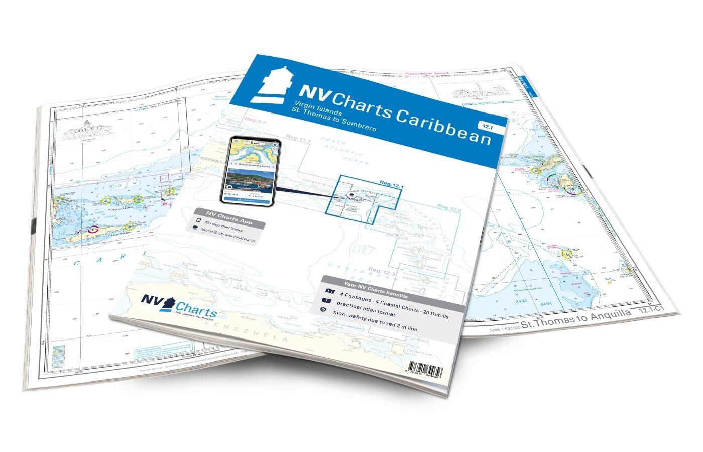
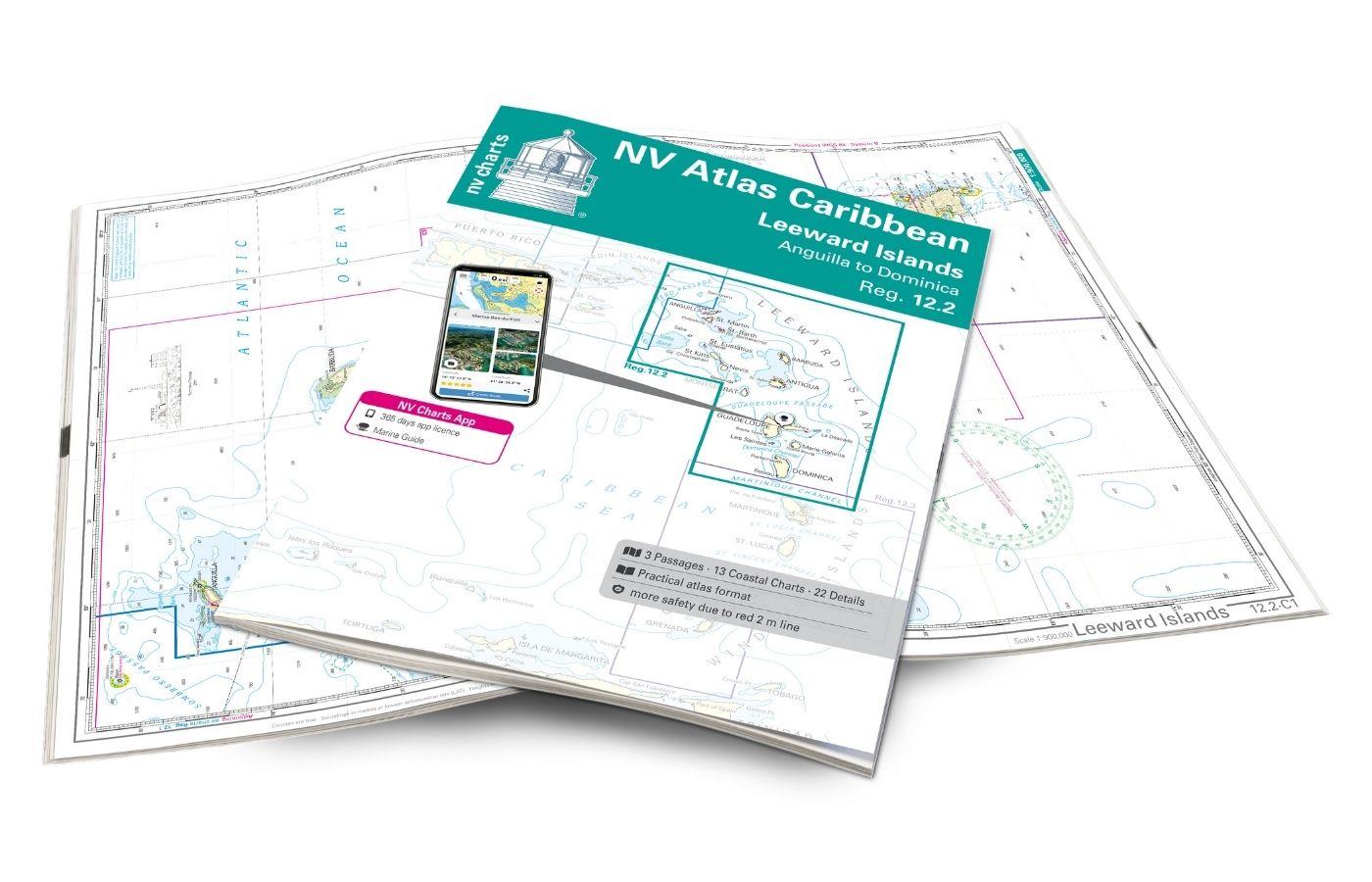
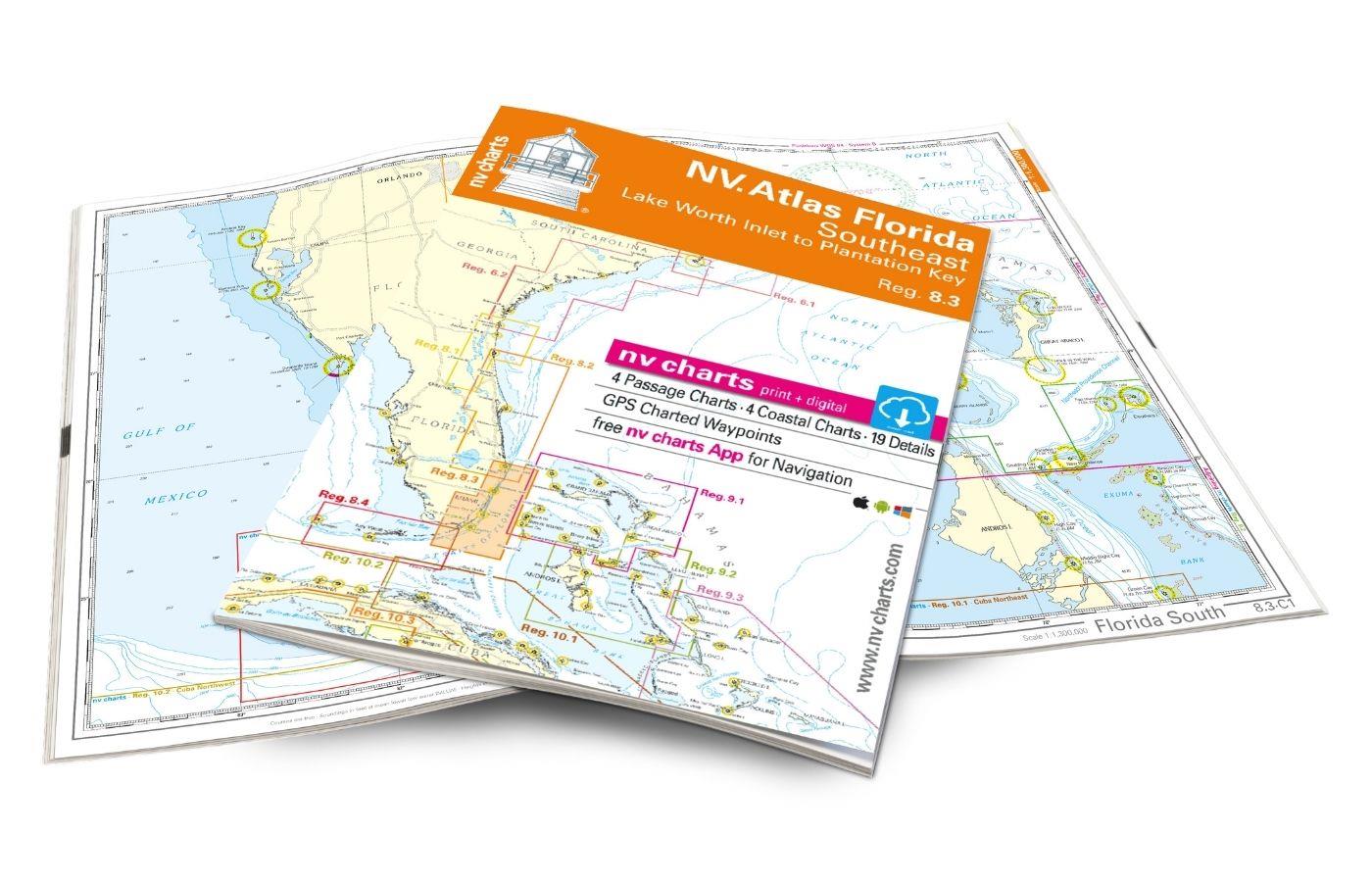
NV Atlas 9.3, Bahamas South East - Cat & Long Island - Rum Cay to Turks & Caicos
Description
The NV Charts Bahamas 9.3 Atlas is the perfect companion for the southern Bahamas and the Turks and Caicos Islands . Thanks to the clear layout, the recreational skipper can quickly find approaches, harbours and anchorages and is informed of navigationally important details that also appear in the NV Charts app. The chart series impresses with its optimal dimensions and balanced sheet sections.
Regions overview
Pristine beaches and unique underwater worlds: Off to the southern Bahamas! With a length of over 150 kilometres, the Cat Island is a mixture of lush hills and beautiful beaches. Mount Alvernia, the highest point in the Bahamas, offers a breathtaking view of the island and the surrounding sea. The island Long Island is famous for the contrasts of steep cliffs on the north-east coast and gentle white sandy beaches to the west and is a must for every sailor. Dean's Blue Hole, the deepest known "blue hole" in the world, is a highlight for divers and snorkellers.
Further south are the Turks and Caicos Islands . This archipelago is known for its breathtaking beaches, crystal clear waters and beautiful coral reefs. Grace Bay on Providenciales has been recognised several times as one of the best beaches in the world. Divers and snorkellers should also visit the Columbus Landfall National Marine Park, a protected area with some of the best dive sites in the world.
The waters of the South Bahamas can be treacherous: Numerous coral reefs and shallows require careful navigation and up-to-date charts.
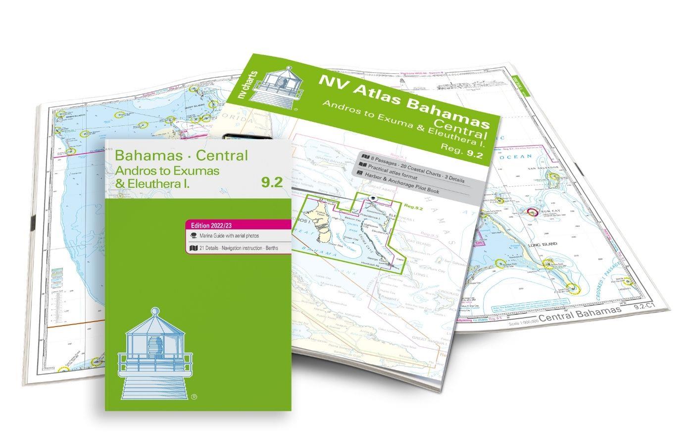
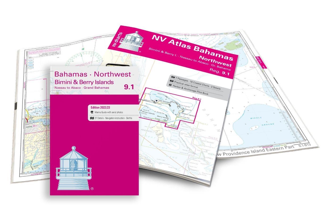
With the NV Charts Bahamas 9.2 Atlas, you can connect directly to this chart set and continue exploring the popular island groups to the north.
This chart set includes
- 9 Passage charts
- 23 district maps
- Detailed maps
- Digital charts for navigation programme and NV Charts App 356-day licence
- Navigation instructions in English
- Tide tables
- incl. Harbour & Anchorage Pilot Book
- Fulfils all legal requirements for current paper charts on board
All advantages at a glance
- NV Atlas chart format: Practical, handy atlas format, opened in A2, closed in A3 format, flat staple binding in the centre - makes it easy to work with the course triangle
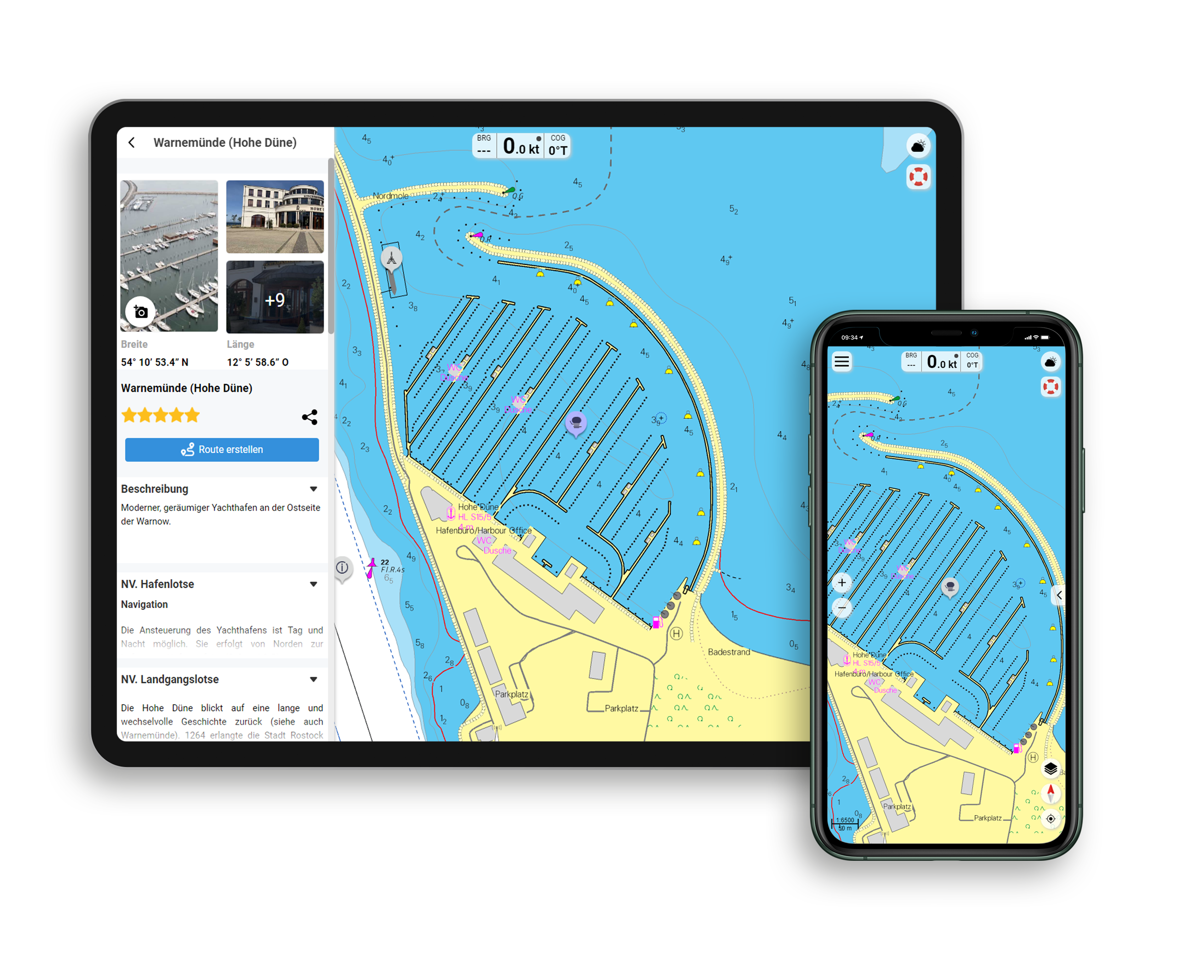
- NV Charts app: including access code to the digital nautical charts of the purchased area in the NV Charts app with 365-day licence, for offline navigation with the app on iOS, Android, PC, Mac or in the web browser, comprehensive harbour manual
- Extremely detailed: Nautical charts based on data from official surveys and own surveys, particularly detailed outside the main fairways
- Optimised for recreational boating
Functions of the NV Charts app
- Flexible autorouting
- Satellite overlay
- Augmented reality
- VMG (Velocity Made Good)
- BoatView harbour guide
- Track recording
- AIS connection and much more.
| App License: | NV Charts App |
|---|---|
| Region: | Caribbean, Bahamas |
| Size: | Atlas |
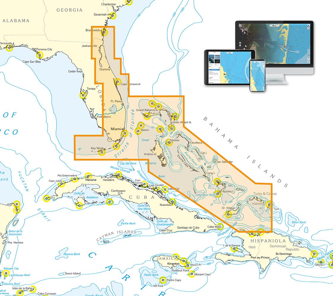
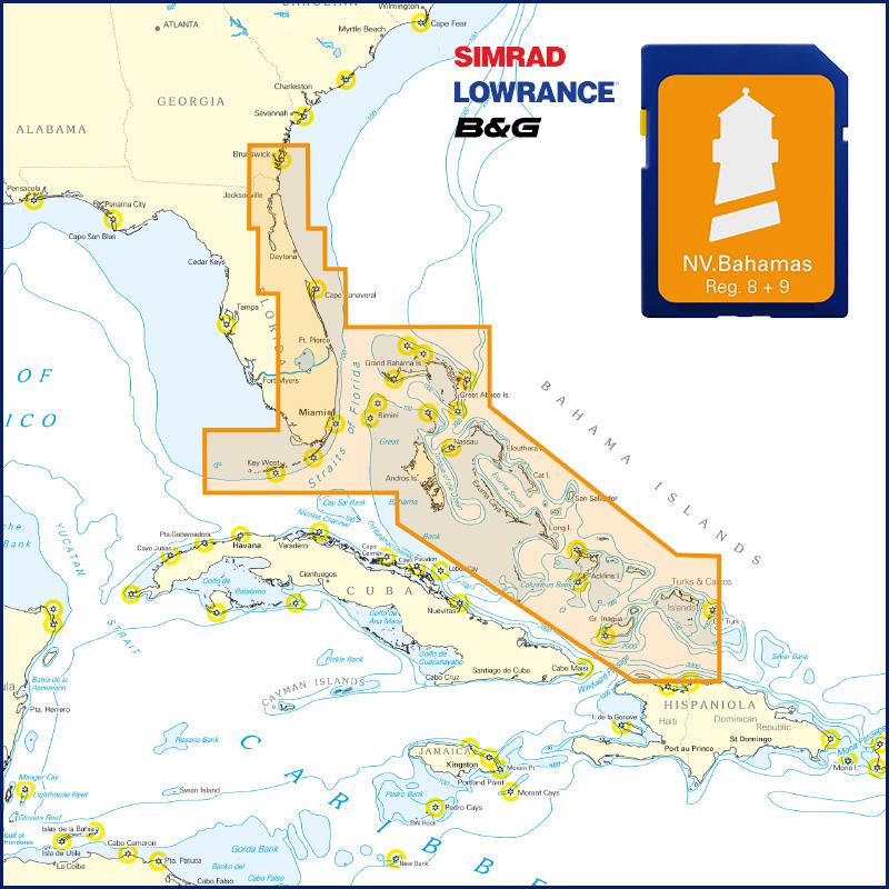
With the help of our area preview, you can get an impression of which geographical region the product deals with or which areas a nautical chart covers.
Related products to this item
Products near this article
Reviews
Login

