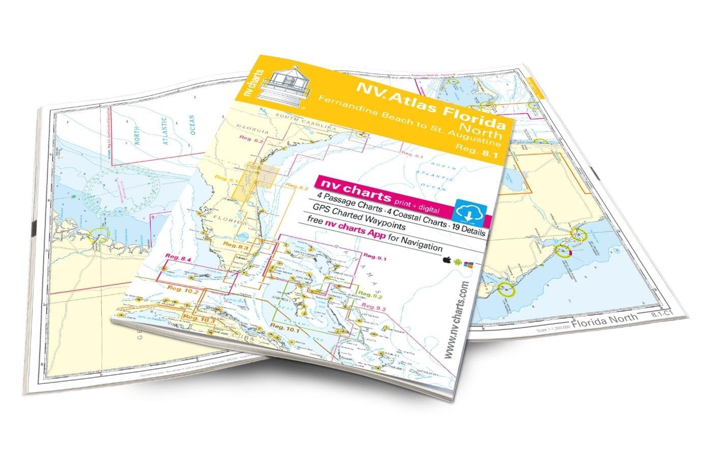
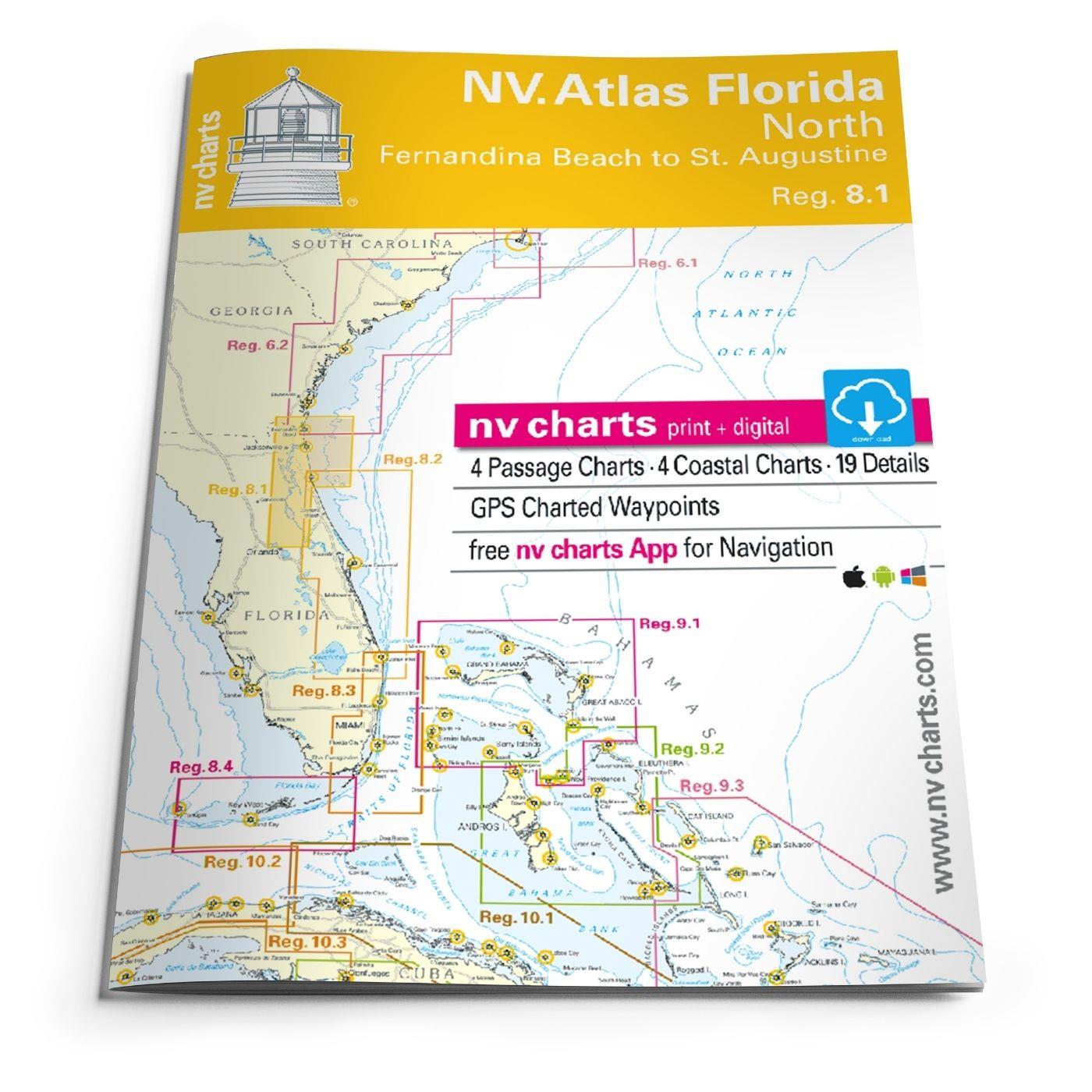
NV Atlas Florida North Reg. 8.1 - Fernandina Beach to St. Augustine

App charts included
Edition: 2016/17
Edition Date: 29.02.2016

€49.00*


Product number: 9810

Description

Fernandia Beach to St. Augustine. 4 oversailers 20 coastal and 2 detailed maps with "Harbour & Anchorage Pilot". Format 30x42cm paperback. In English language. The set includes a download code for all maps of the area in nv.digital- format for use with the navigation programme "Chart Navigator light" as well as with smartphone/tablet (Apple: iOS/MacOSX Android Windows 7/8). Now in Atlas format!

App License: NV Charts App
Region: Nord Amerika, Atlantik
Size: Atlas
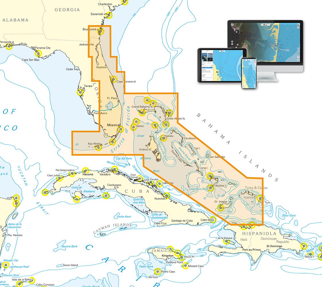
Area preview

With the help of our area preview, you can get an impression of which geographical region the product deals with or which areas a nautical chart covers.

Related products to this item

Related products to this item

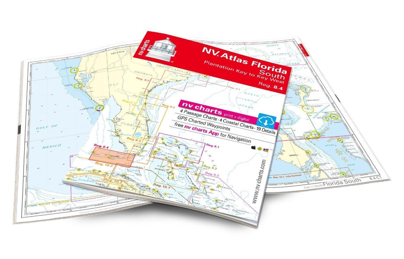
NV Charts Florida 8.4 - South Florida, Plantation Key to Key West
Plantation Key to Key West. 4 oversailers 19 coastal and 3 detailed maps with "Harbour & Anchorage Pilot". Format 30x42cm paperback. In English language. The set includes a download code for all m

€49.00*
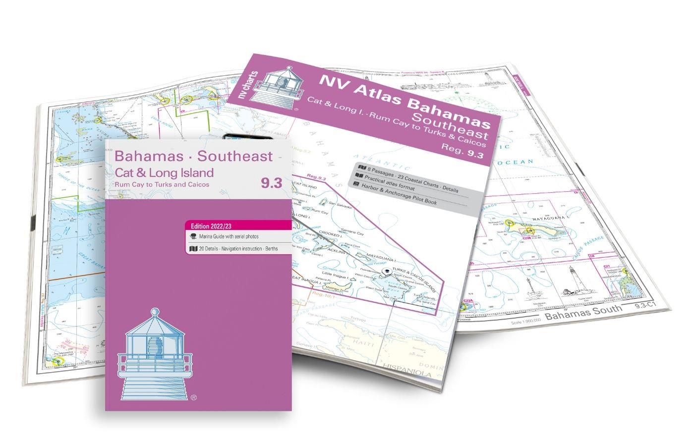
NV Atlas 9.3, Bahamas South East - Cat & Long Island - Rum Cay to Turks & Caicos
The NV Charts Bahamas 9.3 Atlas is the perfect companion for the southern Bahamas and the Turks and Caicos Islands . Thanks to the clear layout, the recreational skipper can quickly find approach

€74.99*
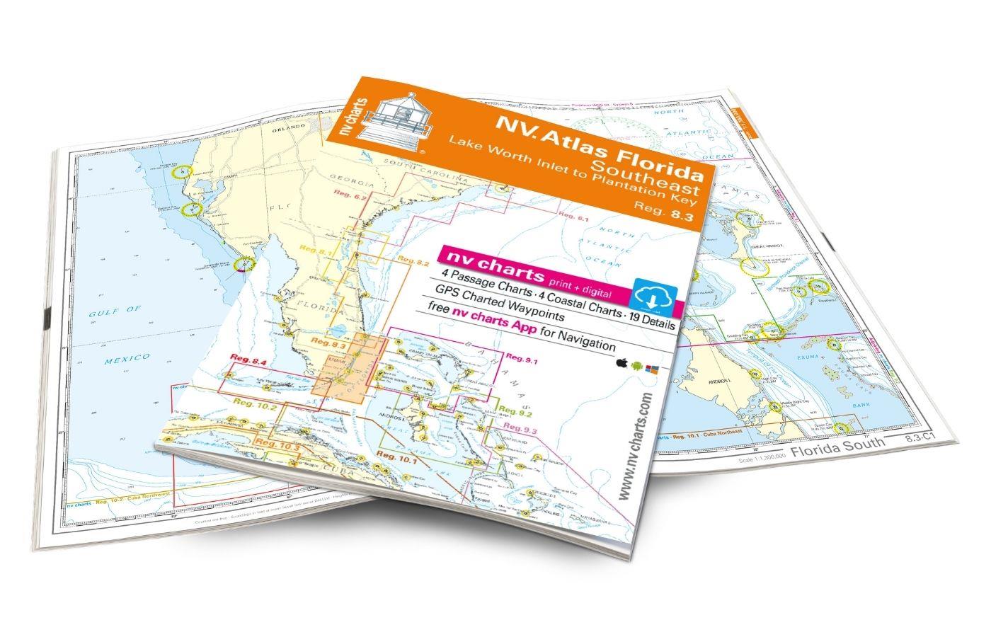
NV Atlas Florida Southeast Reg. 8.3 - Lake Worth Inlet to Plantation Key
Lake Worth Inlet to Plantation Key. 3 oversailers 20 coastal and 7 detailed maps with "Harbour & Anchorage Pilot". Format 30x42cm paperback. In English language. The set includes a download code fo

€49.00*
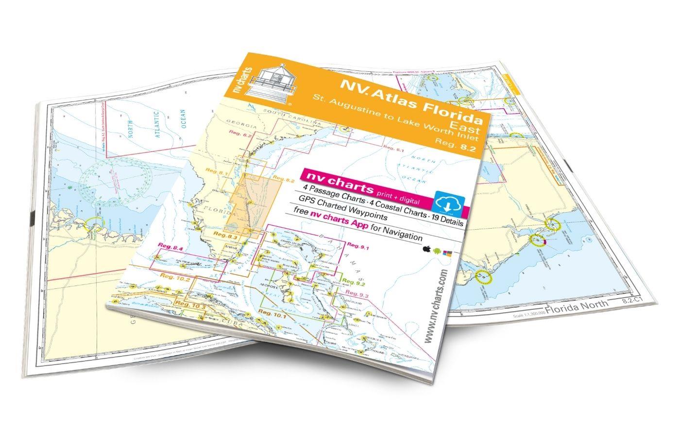
NV Atlas Florida, East Reg. 8.2 - St. Augustine to Lake Worth Inlet
St. Augustine to Lake Worth Inlet. 4 oversailers 23 coastal and 8 detailed maps with "Harbour & Anchorage Pilot". Format 30x42cm paperback. In English language. The set includes a download code for

€49.00*
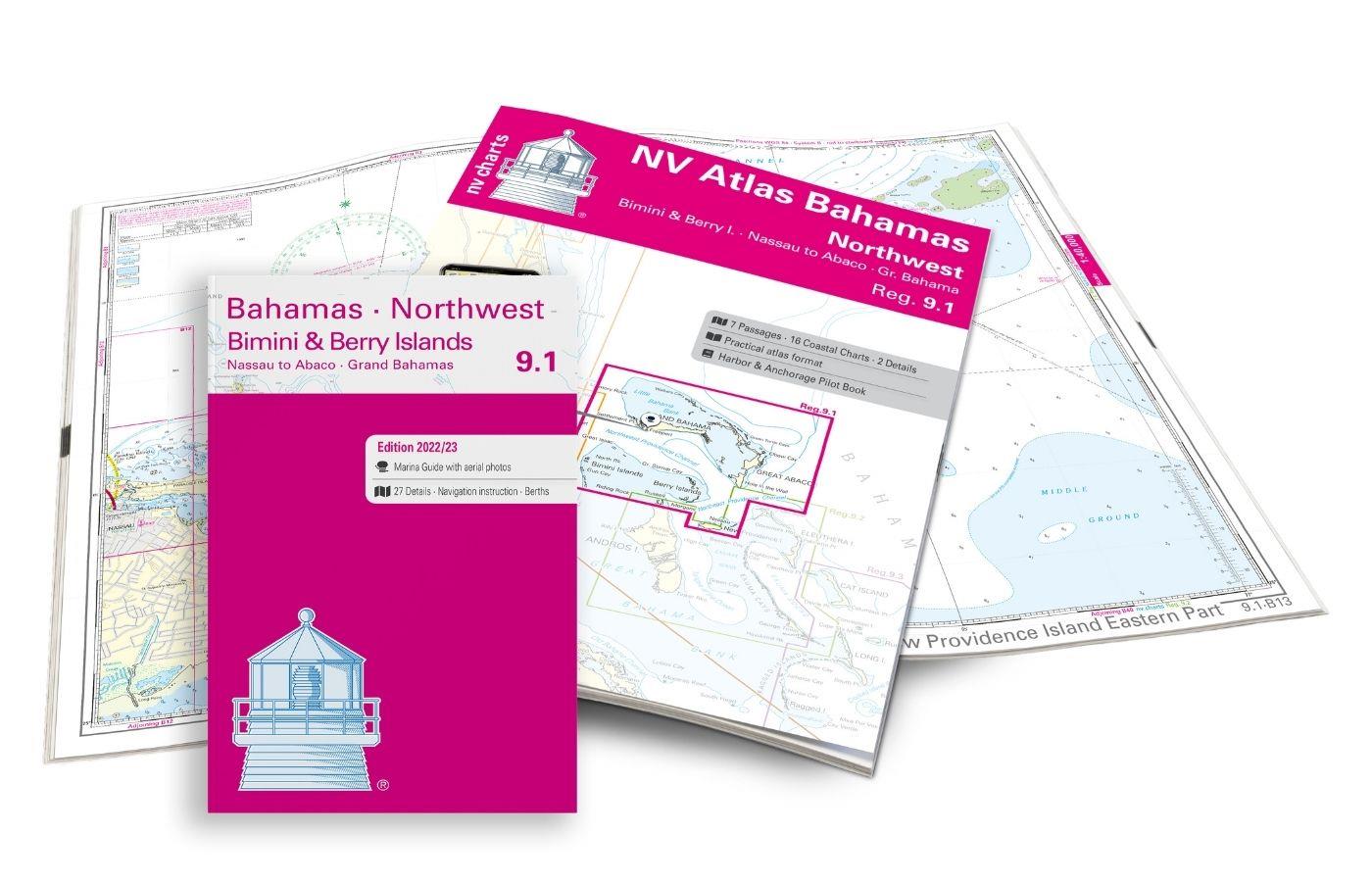
NV Charts Bahamas 9.1 - Bahamas North West, Bimini & Berry Islands, Nassau to Abaco, Grand Bahama
The NV Charts Bahamas 9.1 Atlas  is the right companion for the Bimini and Berry Islands, Grand Bahama and Nassau to Abaco . Thanks to the clear layout, the recreational skipper can quickly

€74.99*

Products near this article

Products near this article

NV Atlas Florida, East Reg. 8.2 - St. Augustine to Lake Worth Inlet
St. Augustine to Lake Worth Inlet. 4 oversailers 23 coastal and 8 detailed maps with "Harbour & Anchorage Pilot". Format 30x42cm paperback. In English language. The set includes a download code for

€49.00*
NV Charts Bahamas 9.1 - Bahamas North West, Bimini & Berry Islands, Nassau to Abaco, Grand Bahama
The NV Charts Bahamas 9.1 Atlas  is the right companion for the Bimini and Berry Islands, Grand Bahama and Nassau to Abaco . Thanks to the clear layout, the recreational skipper can quickly

€74.99*
NV Atlas Florida Southeast Reg. 8.3 - Lake Worth Inlet to Plantation Key
Lake Worth Inlet to Plantation Key. 3 oversailers 20 coastal and 7 detailed maps with "Harbour & Anchorage Pilot". Format 30x42cm paperback. In English language. The set includes a download code fo

€49.00*
NV Charts Florida 8.4 - South Florida, Plantation Key to Key West
Plantation Key to Key West. 4 oversailers 19 coastal and 3 detailed maps with "Harbour & Anchorage Pilot". Format 30x42cm paperback. In English language. The set includes a download code for all m

€49.00*
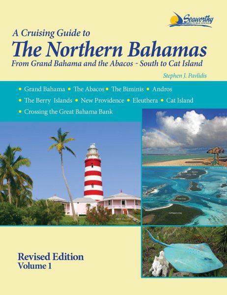
A Cruising Guide to The Northern Bahamas
The Cruising Guide to the Northern Bahamas by Pavlidis covers the cruising area from the Bahamas to the Abacos to Cat Island and includes many photos and maps designed by the author himself. The exten

€73.00*
NV Charts App - Florida and Bahamas
NV Charts App - Florida and Bahamas[nvtext_abo_app_iap]This product can only be used in the NV Charts app, it is not compatible with other navigation programs.

€49.90*

Reviews

0 of 0 reviews

Leave a review!

Share your experiences with other customers.