NV Ostsee Plotterseekarten

Edition: 2024
Edition Date: 20.03.2024

€129.99*


Product number: 9840

Description

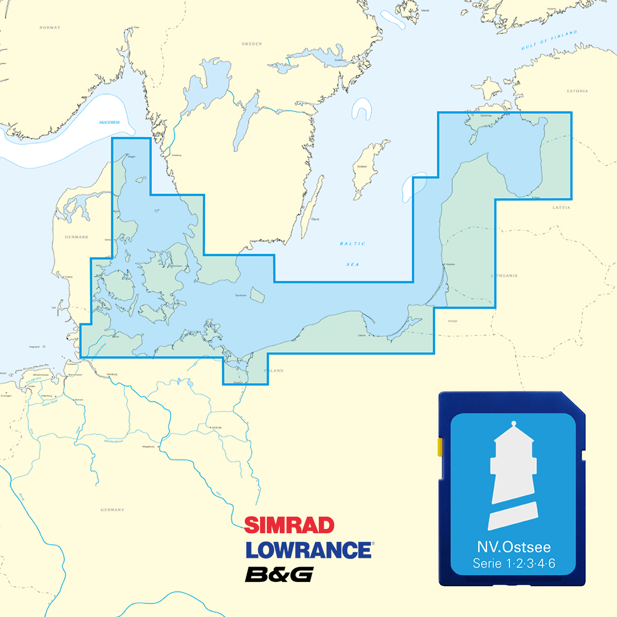
Karten & Hafenpläne der Serien 1, 2, 3, 4 und 6.

Mit dieser Karte gelangen Sie von Skagen entlang der dänischen Küste und ihrer wunderschönen Inselwelt über Deutschland und Polen bis in die baltischen Saaten Litauen und Lettland.

Die Karten werden auf  "Adapter-Chips" geliefert, somit ist das passende Format dabei, egal ob Ihr Kartenplotter SD oder Micro SD Karten verwendet.

Da die Karten nicht auf allen Geräten von Simrad, Lowrance und B&G lesbar sind, zögern Sie bitte nicht uns bei Unklarheiten zu kontaktieren.

Auf der SD Karte bzw Micro SD sind die digitalen NV Seekarten folgender Serien enthalten:

  • NV Serie 1, Rund Fünen - Kieler Bucht
  • NV Serie 2, Lübecker Bucht - Bornholm – Kopenhagen
  • NV Serie 3, Samsö - Sund – Kattegat
  • NV Serie 4, Rund Rügen - Boddengewässer – Stettin
  • NV Serie 6, Polen - Litauen - Lettland


Die NV Plotter Karten sind auf SD-Karte gespeichert und flexibel nach dem Plug & Play-Prinzip auf den Geräten einsetzbar.
Das Kartenbild ist identisch mit dem der NV Papierkarten. Auf Grund der Rasterkartendarstellung empfehlen sich Plotter ab 7 Zoll Bildschirmgröße.

Features:

Leuchtfeuer-Sektoren werden präzise dargestellt, Hauptfahrwasser mit Mindesttiefen gekennzeichnet, rote 2-Meter-Linie, gut präsentierter und redaktionell erarbeiteter Inhalt, blattschnittfreie Kartendarstellung.

Bitte beachten Sie, dass die NV Plotterchips derzeit nur mit Geräten der Navico Gruppe (Simrad, Lowrance, B&G) kompatibel sind. 

  • Lowrance (Alle HDS Serien ab Gen.1 & 2 & Elite TI)
  • Simrad (ab NSE, NSS, NSO)
  • B&G (Alle Geräte ab der Zeus / Vulcan Serie)


Digitale Plotterkarten sind lediglich ein Hilfsmittel und ersetzen keine aktuelle Papierseekarte.

Region: Dänemark, Deutschland, Europa, Ostsee, Schweden, Kattegat
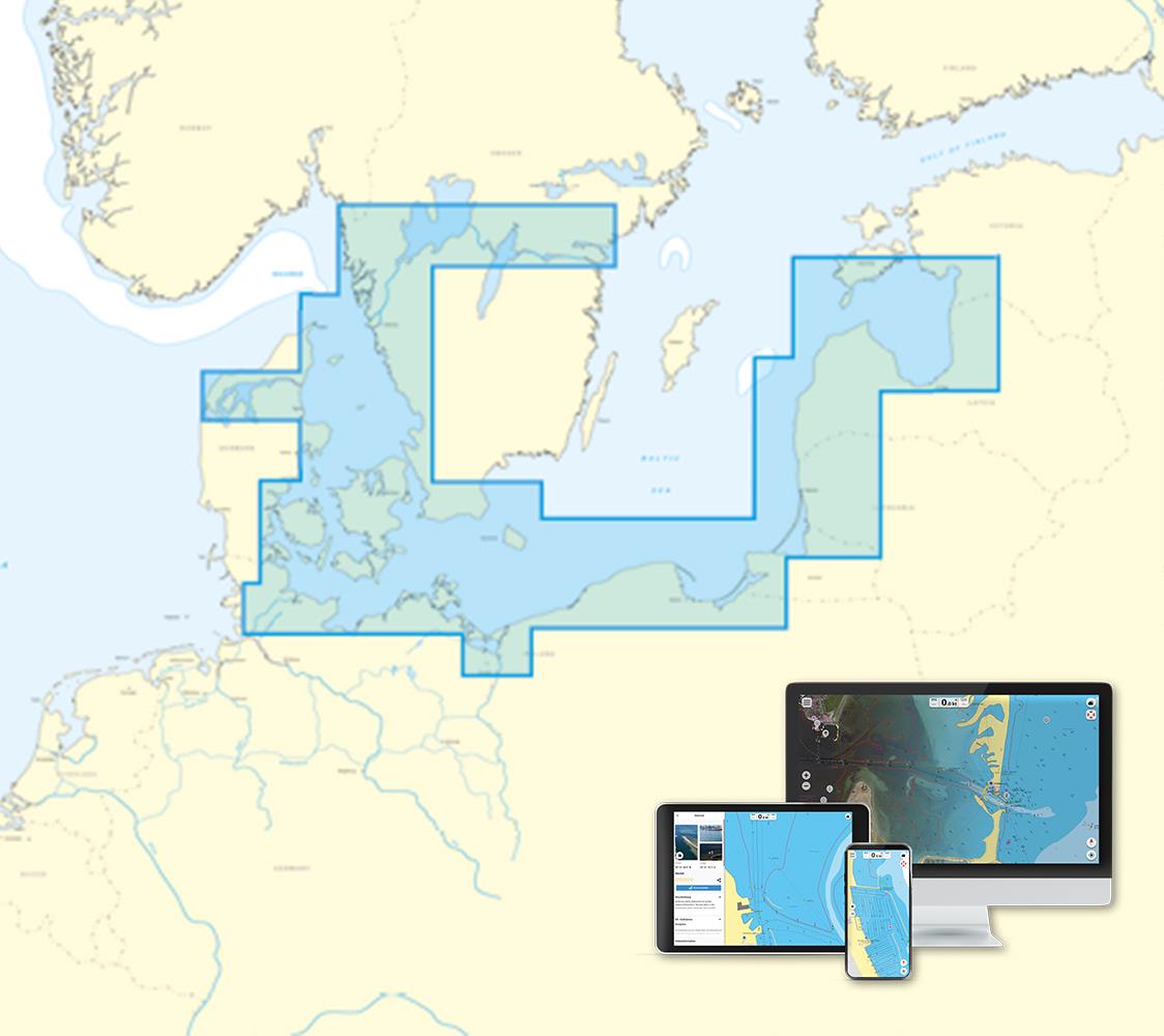
Area preview

With the help of our area preview, you can get an impression of which geographical region the product deals with or which areas a nautical chart covers.

Related products to this item

Related products to this item

NV Nordsee Plotterseekarten
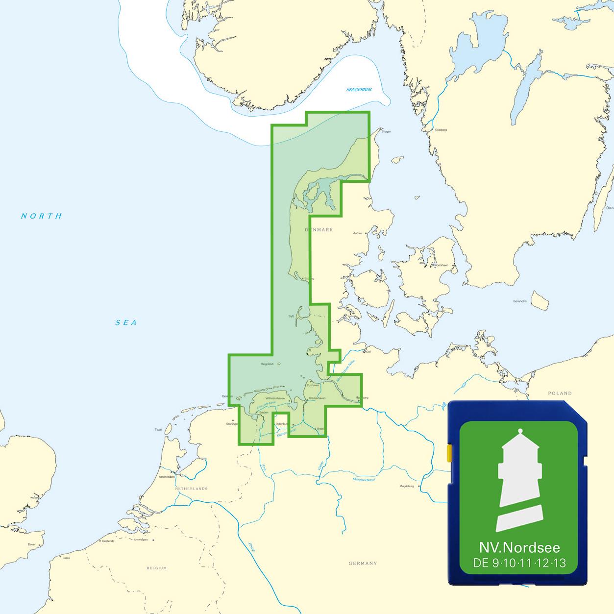
Maps & Port plans of series 10 11 12 13 and series 9.With this map you can get from Skagen over the Danish west coast to Borkum on the East Frisian Islands. All depth data and the buoyage of

€129.99*
-26 %
NV Charts Baltic Sea Chart Box incl. Region 1-4
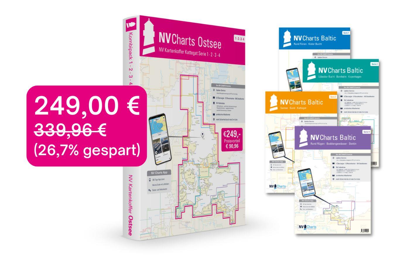
 For all those who like to save and whose district is called the German and Danish Baltic Sea. With the Baltic Sea Case Series 1-4 our single map sets are offered to you at a special price of 198

€249.00* €339.96* (26.76% saved)
NV Binnen Plotterseekarten
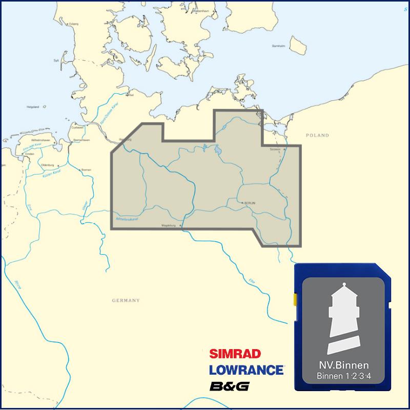
Maps & Port plans inland volumes  1 - 2 - 3 and 4The NV Plotter Sea Chart NV Inland includes all four inland volumes of the NV Verlag and thus offers great flexibility in travel planning. No ma

€99.99*
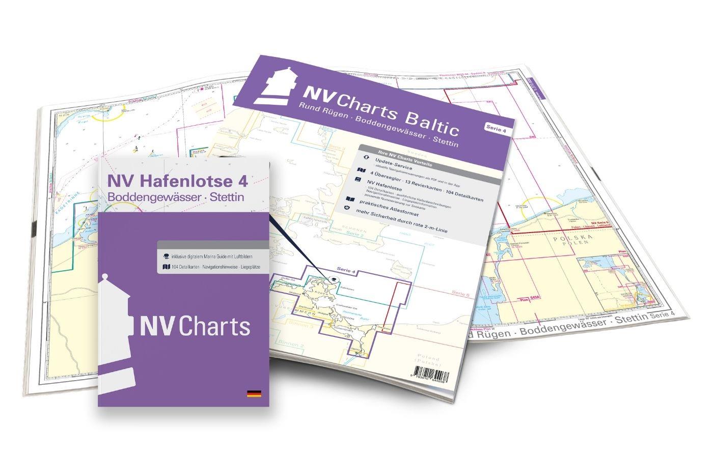
NV Charts Baltic Region 4, East Germany - Rügen to Szczecin
The handy pleasureboat charts for the sea area around Rügen - Bodden waters - SzczecinIt contains the nautical charts in various sizes, as well as all harbor plans and details for approaches and passa

Variants from €59.99*
€74.99*
Logbuch / Schiffstagebuch NV
The NV Logbook / Ships Diary with the officially prescribed page numbering is clear and practical.The clear division for navigation data with time course sm and remarks on the course of the voyage suc

€15.90*
NV Niederlande Plotterseekarten
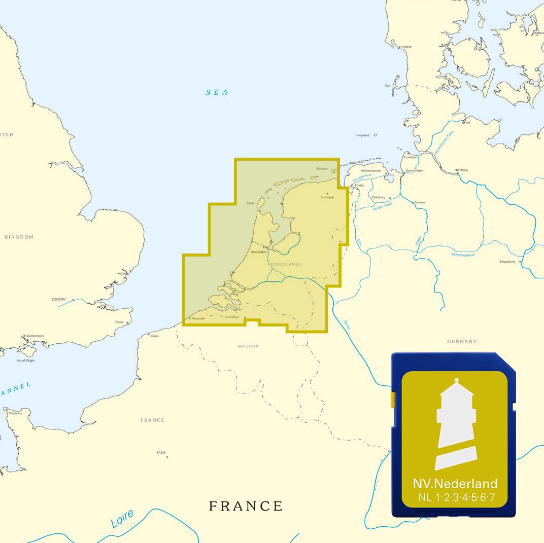
Maps of the series NL 1 NL 2 NL 3 NL4 NL 6 and NL 7With this map the Netherlands are completely covered both the coastal waters from Borkum to Oostende as the Ijsselmeer and the inland waters from Maa

€129.99*
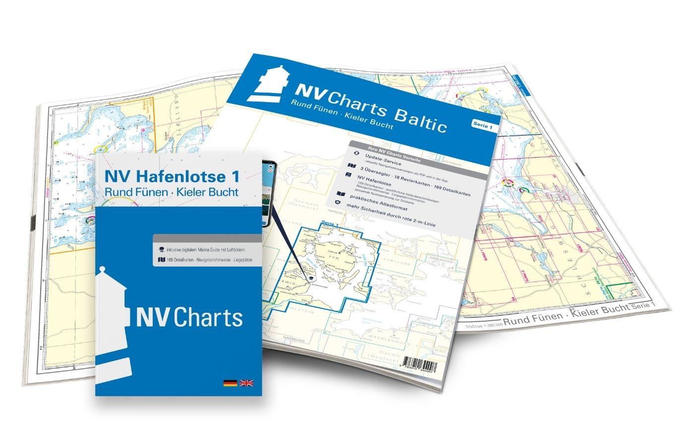
NV Atlas Baltic Region 1, North Germany South Denmark
The handy pleasure craft charts for the Baltic Sea Round Fünen to Kiel Bay are a chart series specially designed for recreational boating. It contains the nautical charts in various sizes, as well as

Variants from €75.99*
€94.99*

Products near this article

Products near this article

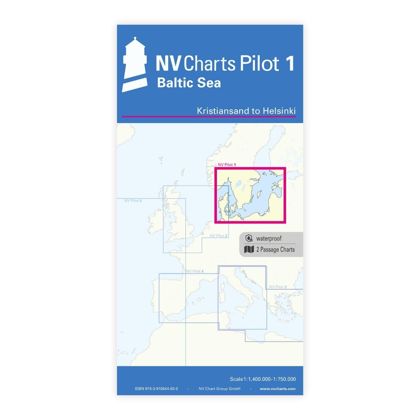
NV Pilot 1, planning chart Baltic Sea - Kristiansand to Helsinki
NV Pilot 1, planning chart Baltic Sea - Kristiansand to HelsinkiThe Pilot 1 from NV Charts is an indispensable planning chart if you want to prepare for a Baltic Sea cruise. This chart for this popula

€24.99*
NV Charts App - Baltic Sea and Kattegat
NV Charts App - Baltic Sea and Kattegat[nvtext_abo_app_iap]This product can only be used in the NV Charts app, it is not compatible with other navigation programs.

€49.90*
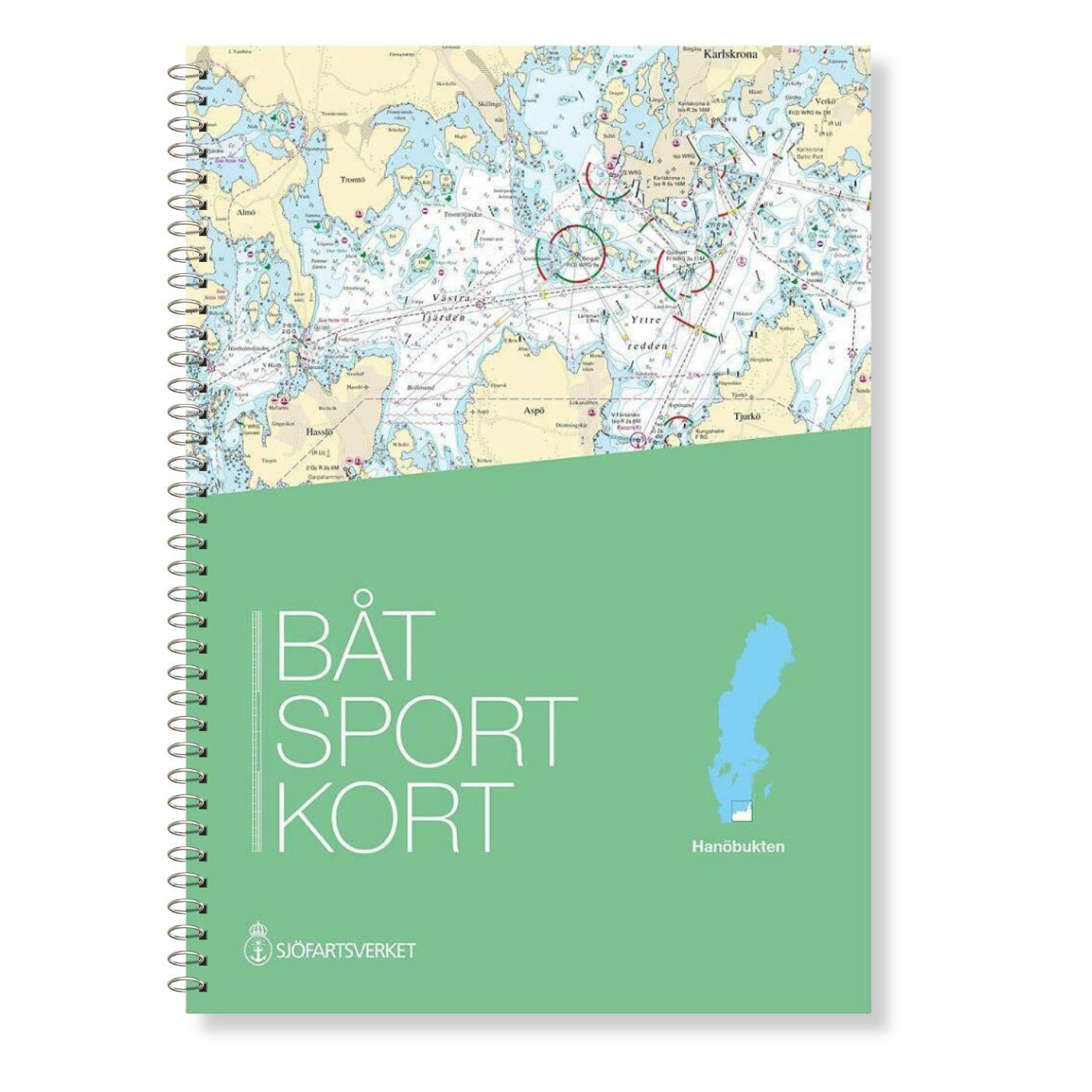
Swedish series Hanö Bay
The official Swedish recreational chart set Hanöbucht (Båtsportkort Hanöbukten) covers the Swedish coast in the area of Hanöbucht from Skillinge to Bergkvara in the Kalmarsund.Also this official

€78.00*
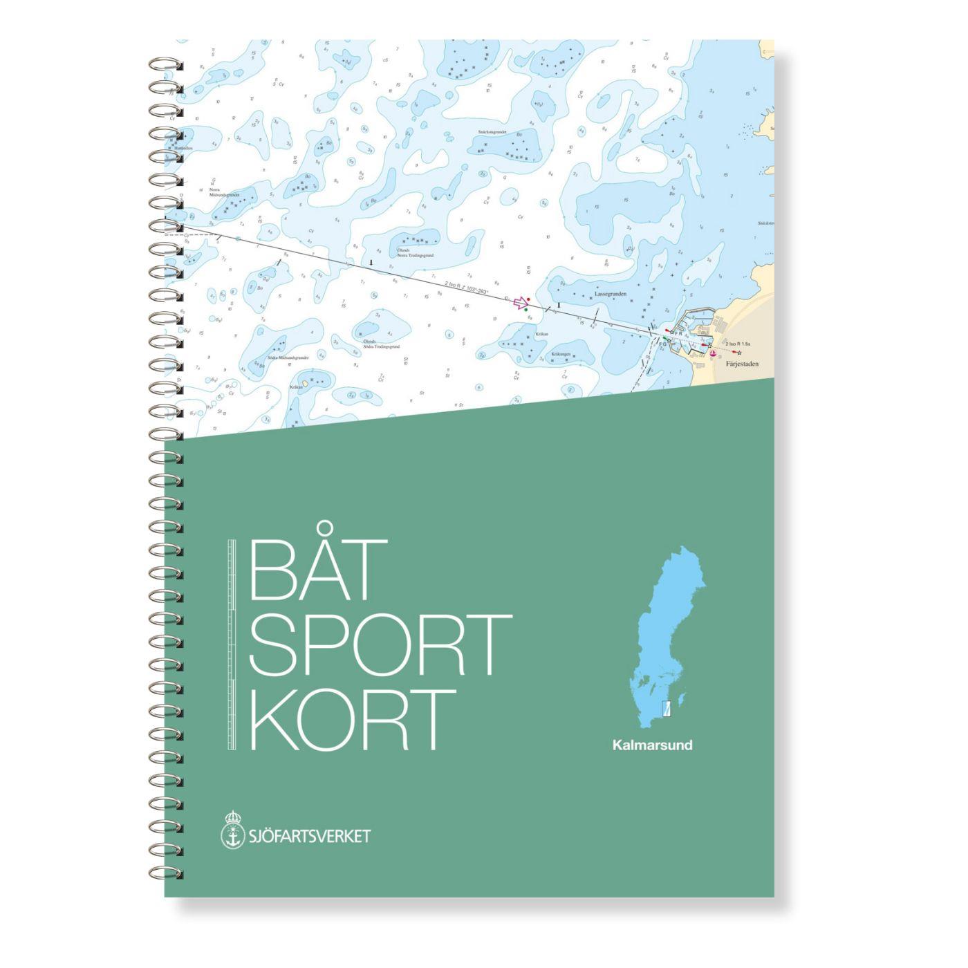
Swedish series Kalmarsund
The official Swedish sport boat chart set (Båtsportkort) Kalmarsund covers the Kalmarsund from Västervik to Bergkvara. The island of Gotland is shown on the oversailers without detail or approach char

€78.00*

Reviews

0 of 0 reviews

Leave a review!

Share your experiences with other customers.