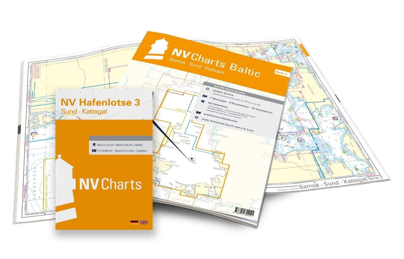
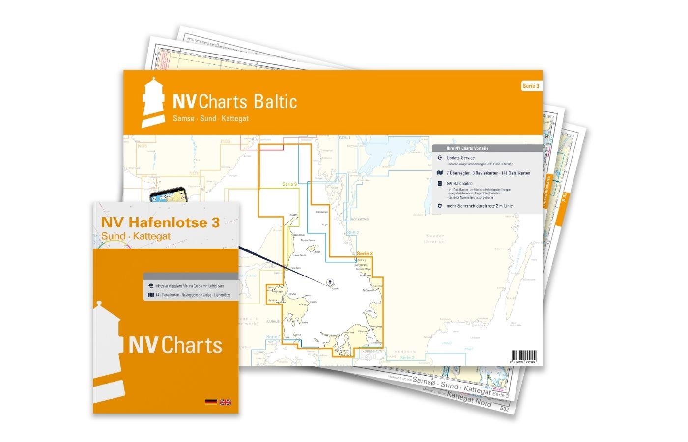
NV Kattegat Plotterseekarten

Edition: 2024
Edition Date: 29.03.2024

€129.99*


Product number: 9841

Description

Maps & Port plans of series 3 5.1 5.2 NO 1-2 Inland volume 8 and series 9.

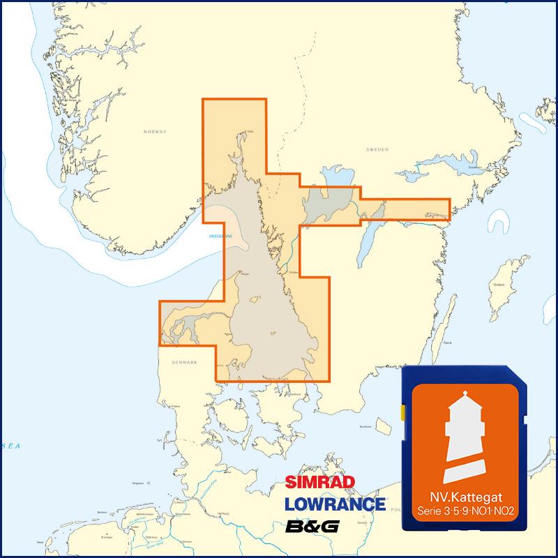
With this map you can get from Samsö through the Kattegat via the popular island of Anholt to the Swedish western archipelago. The map has numerous details in the equally beautiful and challenging archipelago off the western coast of Sweden. The maps for the Limfjord and the Danish west coast from Skagen to Rømø are also included on the NV Plotter Sea Chart.

The maps are supplied on  "adapter chips" so the appropriate format is included whether your chartplotter uses SD or Micro SD cards.

As the charts are not readable on all devices from Simrad Lowrance and B&G please do not hesitate to contact us if you are unsure.

The SD card or Micro SD contains the digital NV nautical charts of the following series:

  • NV. Series 3 Samsö - Sund - Kattegat
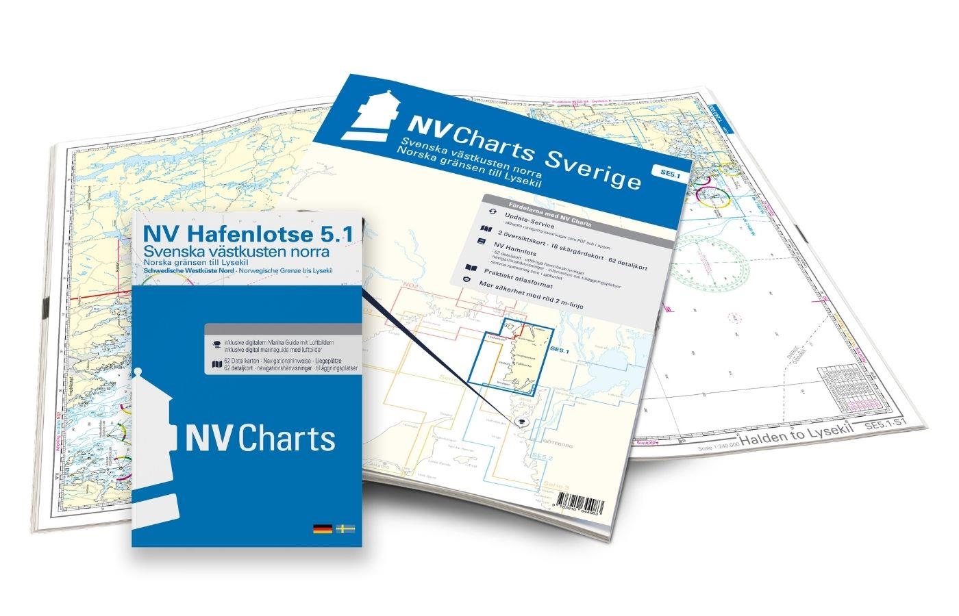
  • NV.Atlas Sverige SE 5.1 Svenska västkusten norra
  • NV.Atlas Sverige SE 5.2 Svenska västkusten södra
  • NV. Atlas series 9 Skagen to Rømø & Limfjord
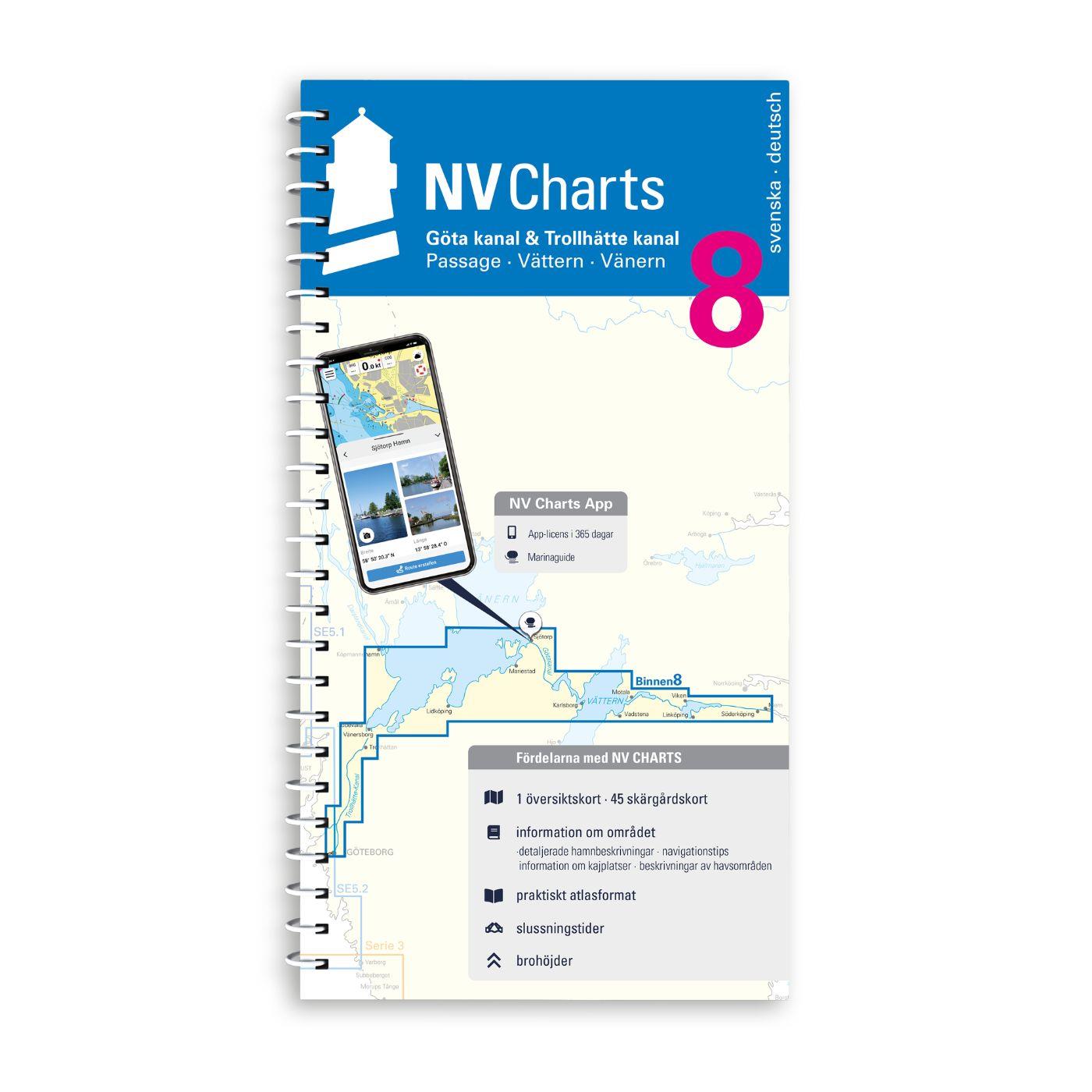
  • NV. Inland Volume 8 Göta Canal and Trollhätte Canal
  • NO 1 NV.Atlas Norge Oslofjord Nord - Oslo til Tønsberg
  • NO 2 NV.Atlas Norge Oslofjord Sør - Svenska Grensen til Kragerø


The nv.plotter charts are stored on SD card and can be used flexibly on the devices according to the plug & play principle.
The map image is identical to that of the well-known NV.paper maps. Due to the raster chart display plotters with a screen size of 7 inches or more are recommended.

Features:

Lighthouse sectors are precisely displayed main fairways marked with minimum depths red 2-metre line well-presented and editorially prepared content sheet cut-free chart display.

Please note that NV plotter chips are currently only compatible with Navico Group (Simrad Lowrance B&G) instruments. 

  • Lowrance (All HDS series from Gen.1. & 2 & Elite TI)
  • Simrad (NSE NSS NSO and up)
  • B&G (All units Zeus / Vulcan series and up)


Digital plotter charts are an aid only and do not replace an actual paper chart.

Region: Dänemark, Ostsee, Schweden, Kattegat
Area preview

With the help of our area preview, you can get an impression of which geographical region the product deals with or which areas a nautical chart covers.

Related products to this item

Related products to this item

NV Ostsee Plotterseekarten
Karten & Hafenpläne der Serien 1, 2, 3, 4 und 6.Mit dieser Karte gelangen Sie von Skagen entlang der dänischen Küste und ihrer wunderschönen Inselwelt über Deutschland und Polen bis in d

€129.99*
-33 %
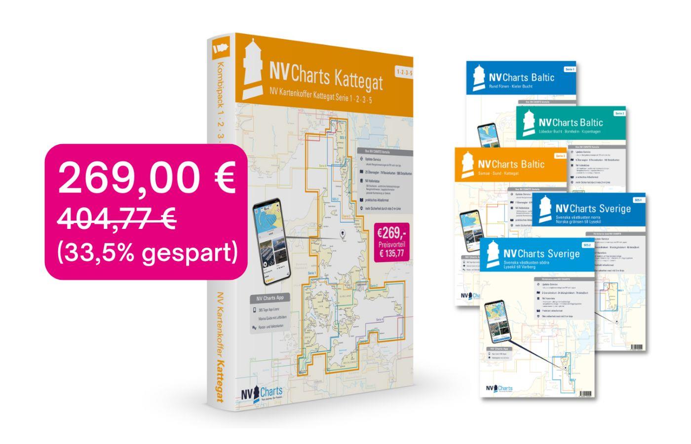
NV Charts Box North Germany to Norwegian border Region 1, 2, 3, 5.1, 5.2
Those looking to save while still being optimally equipped to travel from Kiel Bay to the Norwegian border will be very well served by the NV Atlas Kattegat Case . The Kattegat Case includes the Serie

€269.00* €404.77* (33.54% saved)
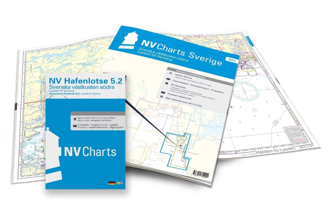
NV Charts Sverige SE 5.2 - Svenska Västkusten Södra
As an extension of the popular Series 3, NV Charts offers Series 5.2 Svenska Västkusten Södra on the Swedish west coast. The chart series, specially designed for recreational boating, contains the nau

€69.90*
NV Binnenband 8 Göta Kanal & Trollhätte Kanal
Swedens blue ribbon of 190 km in length - is probably one of the most scenic waterways in Europe. Every water sports enthusiast would like to pass the 58 locks downhill and uphill the pictur

€44.99*
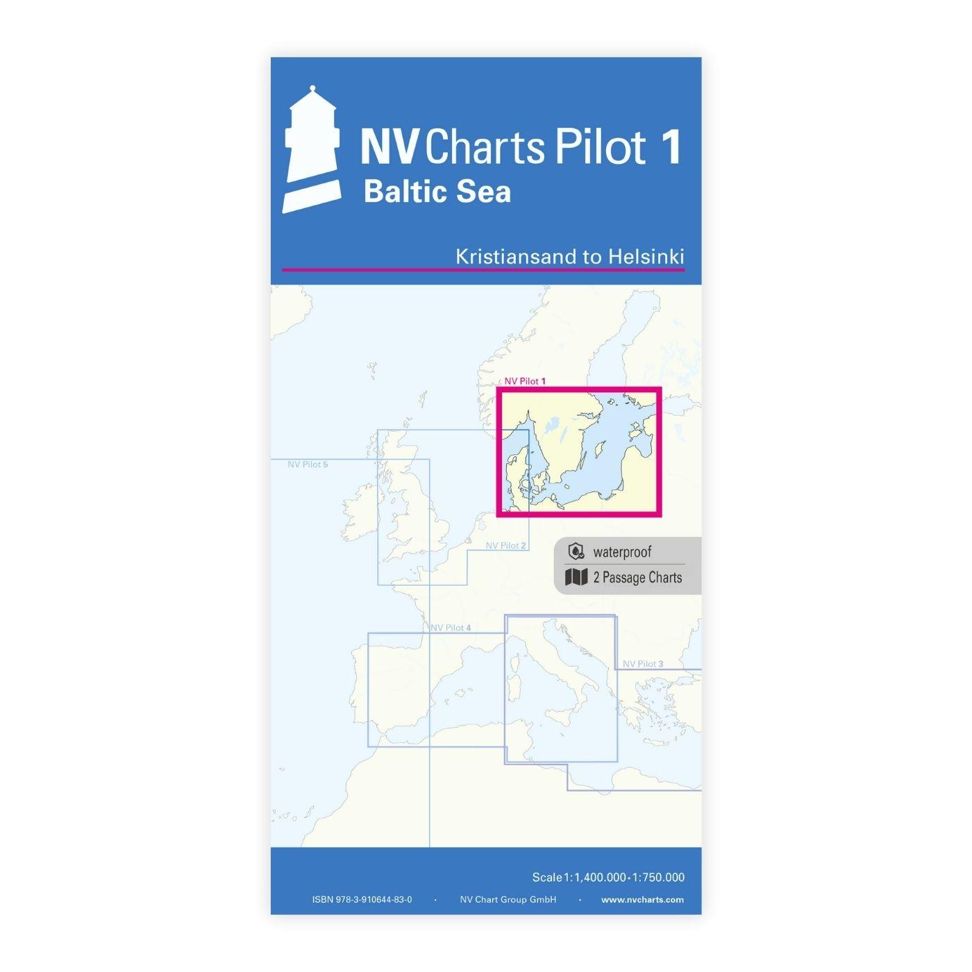
NV Pilot 1, planning chart Baltic Sea - Kristiansand to Helsinki
NV Pilot 1, planning chart Baltic Sea - Kristiansand to HelsinkiThe Pilot 1 from NV Charts is an indispensable planning chart if you want to prepare for a Baltic Sea cruise. This chart for this popula

€24.99*
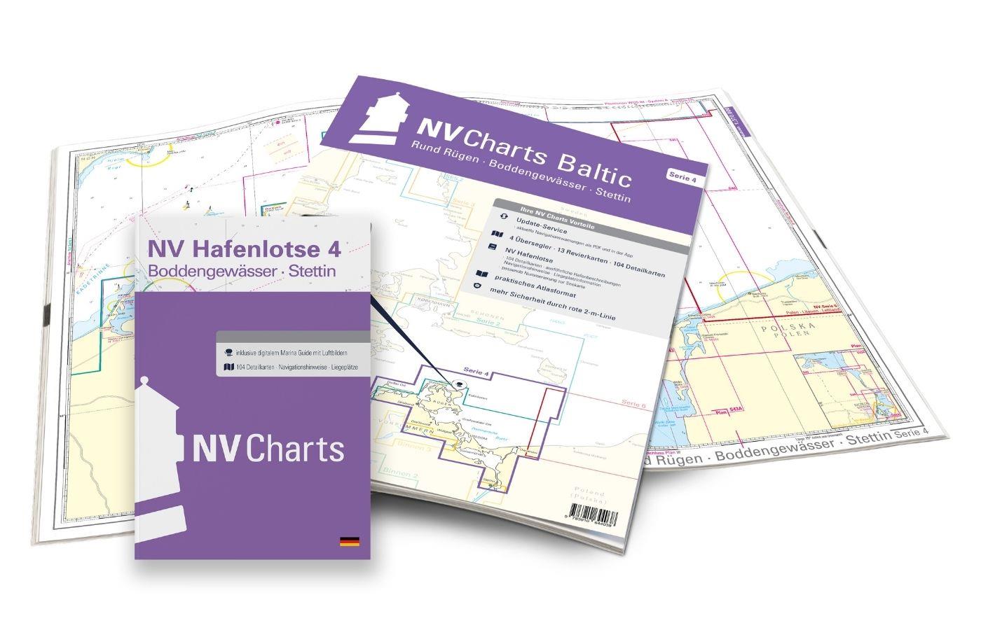
NV Charts Baltic Region 4, East Germany - Rügen to Szczecin
The handy pleasureboat charts for the sea area around Rügen - Bodden waters - SzczecinIt contains the nautical charts in various sizes, as well as all harbor plans and details for approaches and passa

Variants from €59.99*
€74.99*
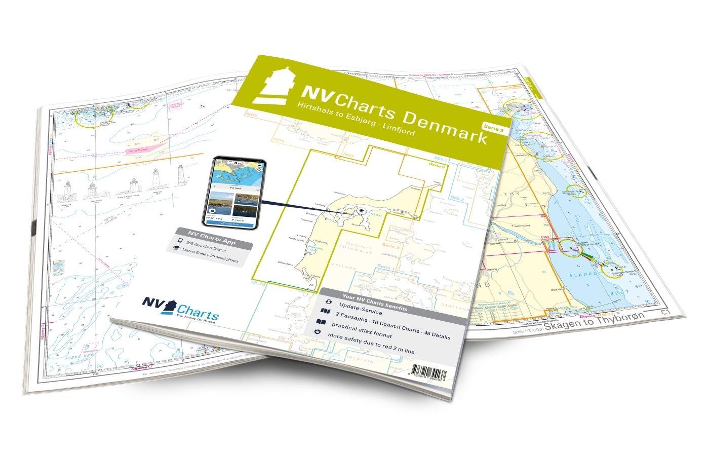
NV Charts Denmark Serie 9 - Hirtshals to Esbjerg & Limfjord
The Danish west coast and the Limfjord are among the most popular holiday regions in the Scandinavian country. The coast is known for its endless, fine sandy beaches. The Limfjord is an elongated soun

€64.99*

Products near this article

Products near this article

NV Charts Sverige SE 5.2 - Svenska Västkusten Södra
As an extension of the popular Series 3, NV Charts offers Series 5.2 Svenska Västkusten Södra on the Swedish west coast. The chart series, specially designed for recreational boating, contains the nau

€69.90*
NV Charts Baltic Region 3 - Samsø - Sund - Kattegat
The handy pleasure craft charts for the sea area Samsø - Sund - Kattegat are a chart series specially designed for recreational boating. It contains the nautical charts in various sizes, as well as al

Variants from €59.99*
€74.99*
NV Charts Baltic Serie 3 Plano - East Denmark Single-Charts
The NV Charts Baltic Series 3 Plano for the sea area Samsø - Sund - Kattegat is a chart series specially designed for recreational boating. It contains the nautical charts in various sizes, as well as

Variants from €59.99*
€74.99*
Hamnguiden 5 Göteborg - Svinesund
The harbour guide Gothenburg - Svinesund takes you directly to the beautiful archipelago landscape of Sweden's west coast from Gothenburg to just before the Oslo Fjord.This sailing guide contains a nu

€74.90*
Schwed. Serie Västkusten N
Svinesund to Måseskär. Format 30 x 42 cm spiral binding.

€78.00*
NV Charts Sverige SE 5.1 - Svenska Västkusten Norra
To get to the Oslofjord via the Swedish West Coast, there is no way around the NV Charts Atlas Series 5.1 Svenska Västkusten Norra past. This chart series, specially designed for recreational boating,

€69.90*

Reviews

0 of 0 reviews

Leave a review!

Share your experiences with other customers.