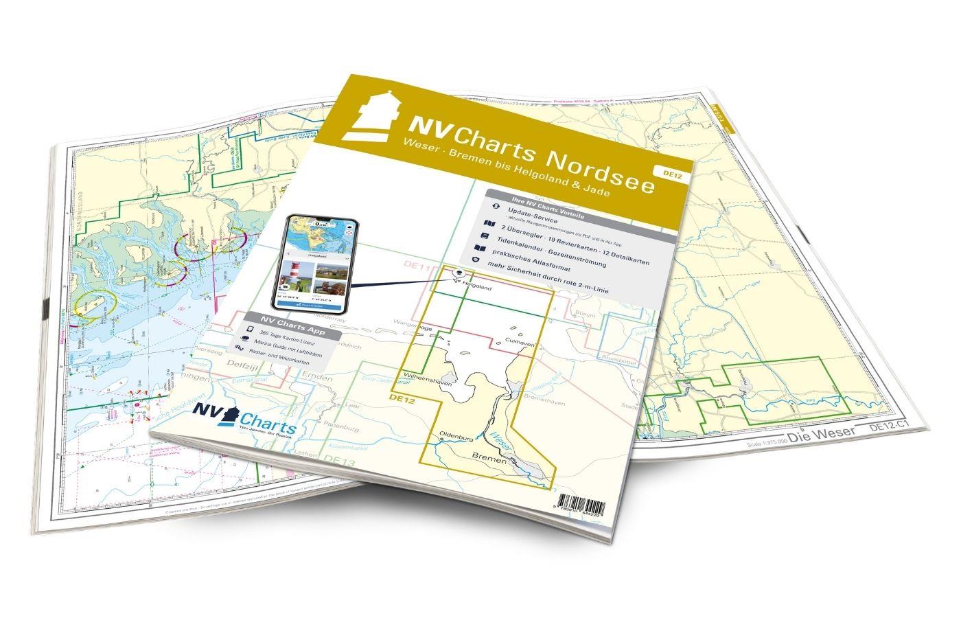
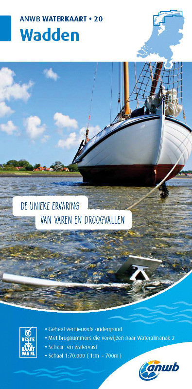
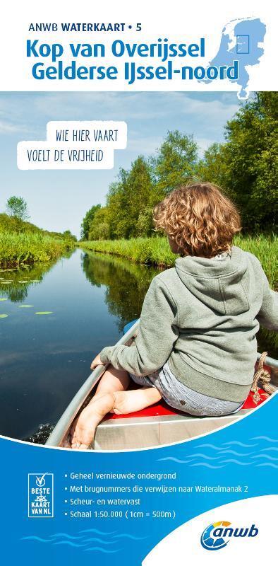
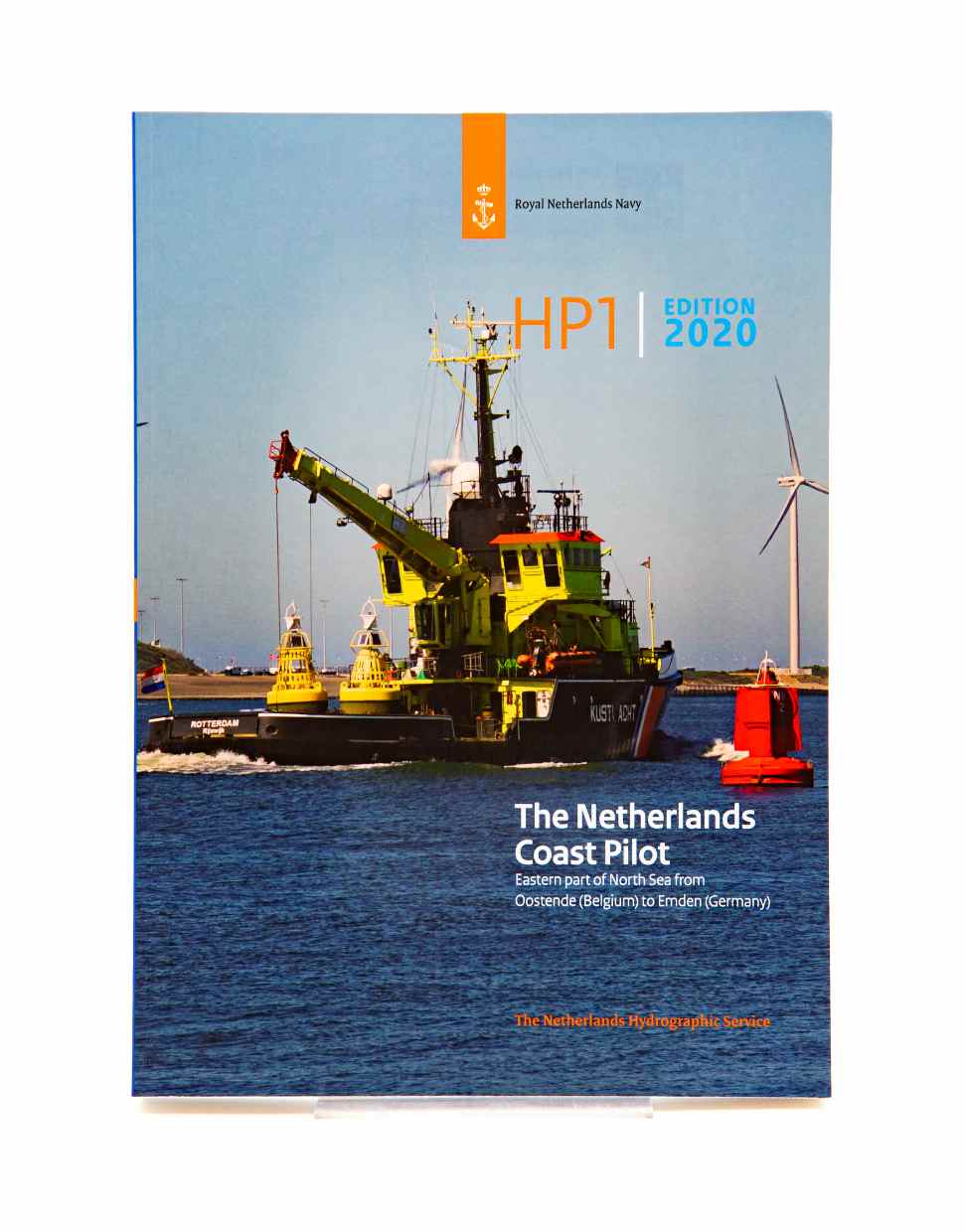
NV Charts Nederland NL2 - Waddenzee
€64.99*
Description
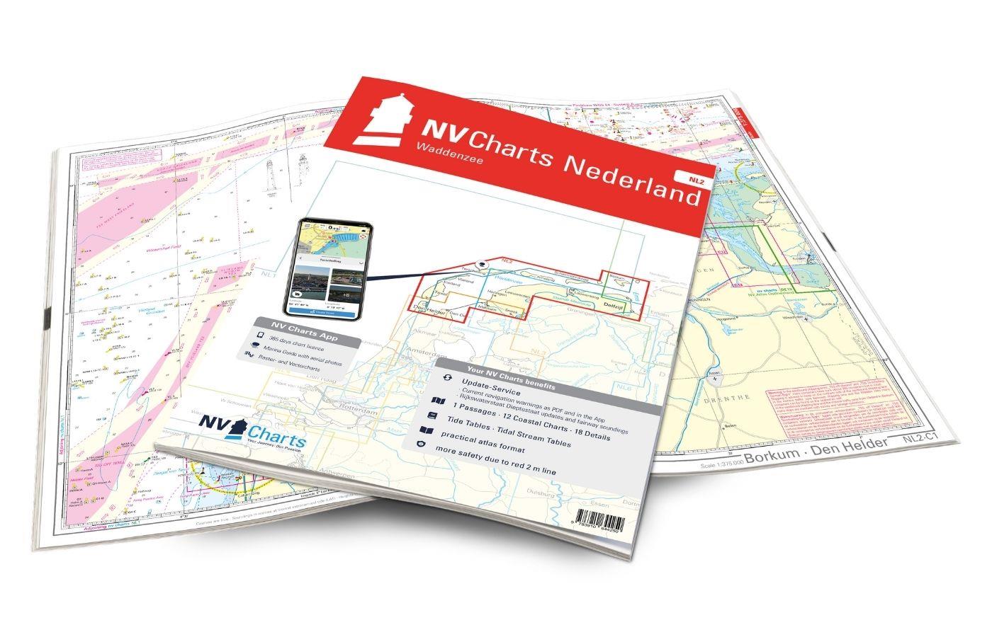
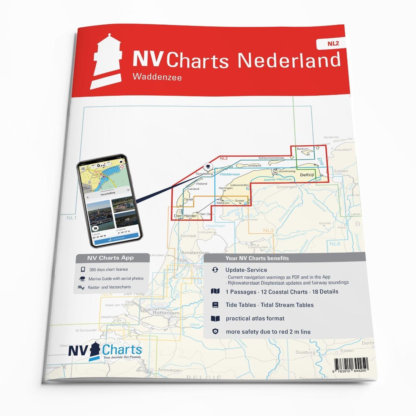
The NV Atlas NL2 is the ideal chart to explore the Waddenzee region.
The chart series, specially designed for recreational boating, contains the nautical charts in various sizes, as well as all harbor plans and details for approaches and passages in the waters. In addition, it includes passageways for bridges, high-voltage power lines, etc., as well as all the necessary nautical and navigational information. Thanks to the clear layout, the recreational skipper can quickly find approaches, harbors and anchorages and is made aware of navigationally important details that also appear in the NV Charts app. The chart series impresses with its optimal dimensions and balanced sheet sections.
Regions overview
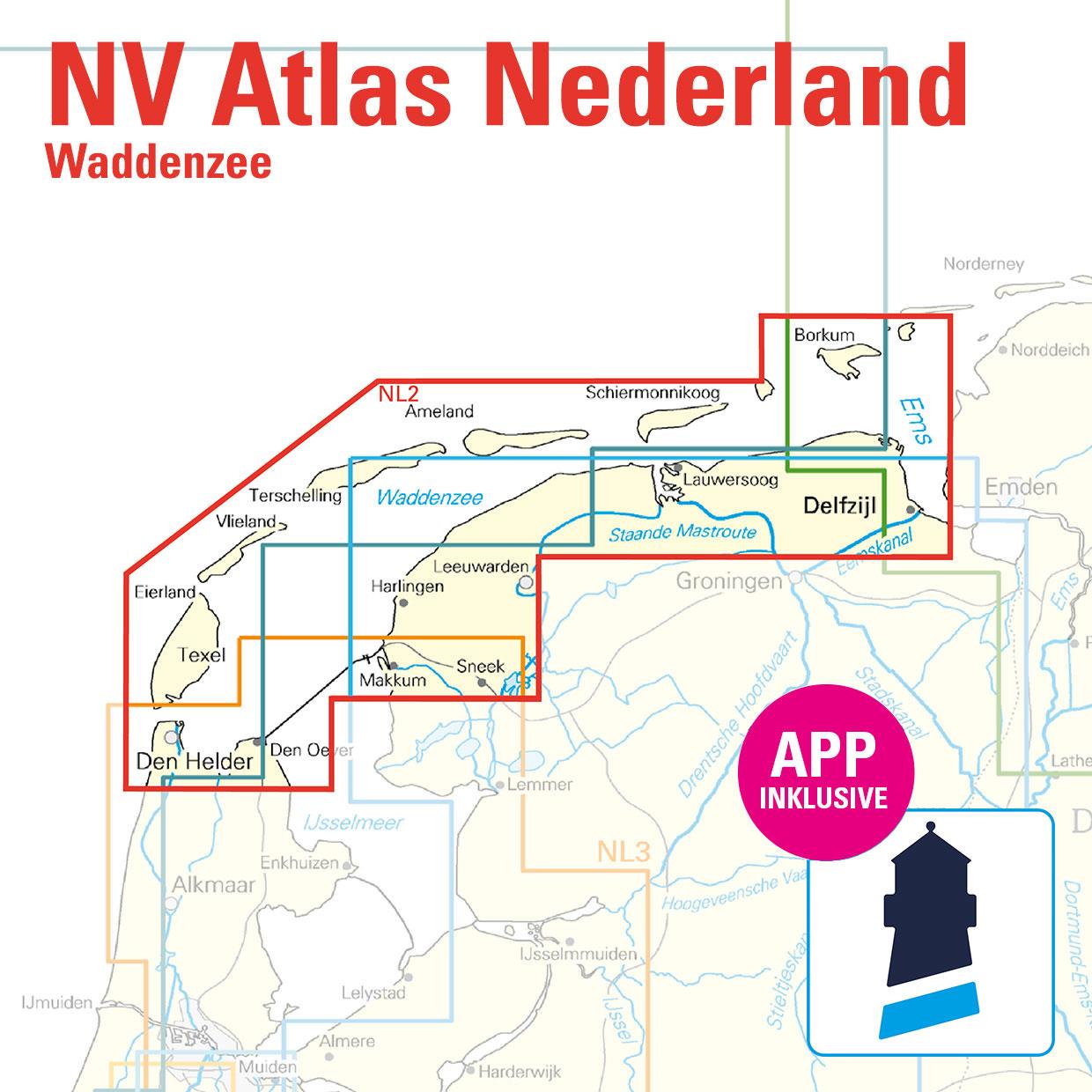
The water sports area is characterized by a high tidal range and a rugged, sometimes almost untouched landscape. The chart covers the German island of Borkum, but then quickly moves over to the Dutch side. There you will find Schiermonnikoog, Ameland, Terschelling, Vlieland and Texel, the five inhabited islands in the Wadden Sea, all of which also have a large marina. But the coastal areas from the Ems estuary via Lauwersoog to the beginning of the IJsselmeer are also covered. In this sea area you should be prepared for rough winds, changing tides and sometimes long waiting times when entering and leaving a port. It is also helpful to familiarize yourself with the conditions in the Wadden Sea before setting off. But in return you will be rewarded with a natural environment that sometimes seems deserted. Long, bright beaches, dunes, small fishing villages and beautiful sandbanks are the order of the day here. An area that may require a little flexibility, but where you can also let yourself drift!
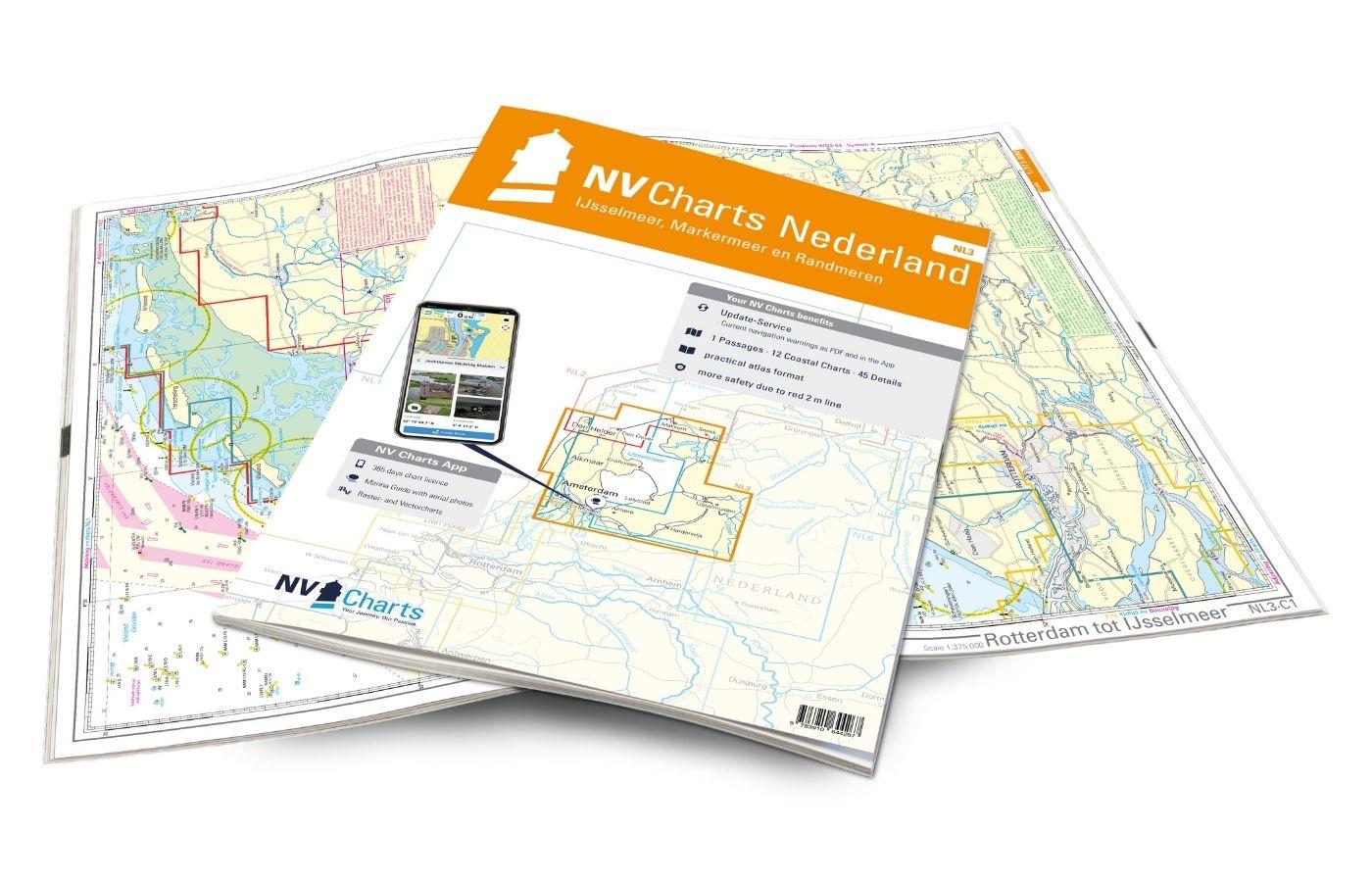
In the south of NL2 there is a seamless transition to NL3, which covers the popular sailing area around the IJsselmeer. If you need a detailed ¨bersegler to get from the German North Sea to the waters of Great Britain or France, the NL1 is the perfect chart for you!
This set of cards includes
- 1 &sailor
- 12 territory cards
- 18 detailed maps
- Tide calendar
- Digital charts for navigation program and NV Charts App 356-day license
- Current data in the digital charts
- Navigation instructions in German and Dutch
- Meets the legal requirements for up-to-date paper charts on board pleasure craft
All advantages at a glance
- NV Atlas chart format: Practical, handy atlas format, opened in A2, closed in A3 format, flat staple binding in the middle - makes it easy to work with the course triangle
- Always up-to-date: Updated edition every year, monthly correction service from April to October
- NV Charts App: including access code to the digital nautical charts of the purchased area in the NV Charts app with 365-day license, for offline navigation with the app on iOS, Android, PC, Mac or in the web browser, comprehensive port manual
- Extremely detailed: Nautical charts based on data from official surveys and own surveys, particularly detailed outside the main fairways
- Optimized for recreational boating
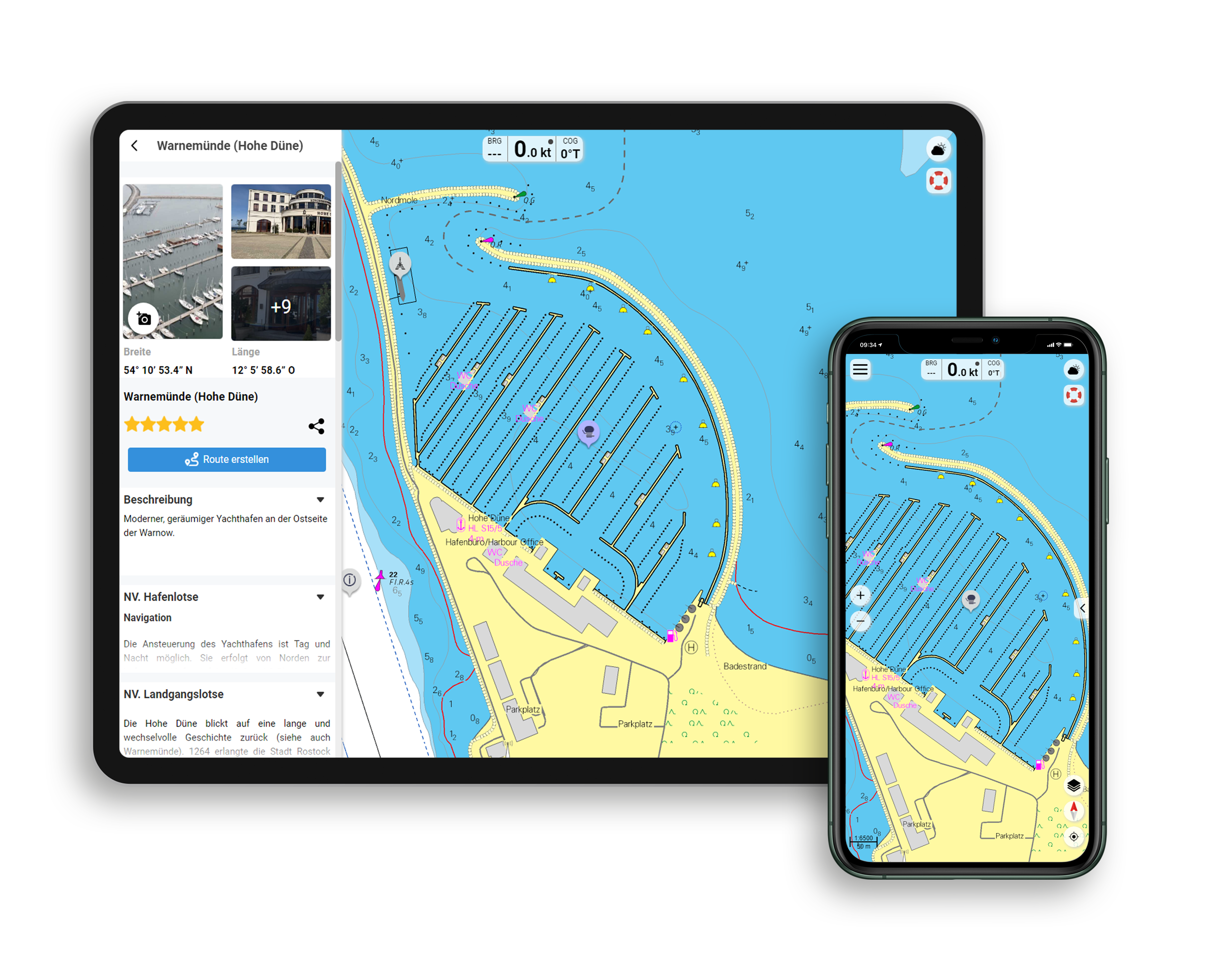
Functions of the NV Charts app
- Flexible autorouting
- Satellite overlay
- Augmented reality
- VMG (Velocity Made Good)
- BoatView harbor guide
- Track recording
- AIS connection and much more.
Charts and measures included
Sailors
C1 Borkum - Den Helder 1:375,000
District maps
C2 Texel - Schulpengat 1:50,000, C3 Den Helder - Den Oever 1:50,000, C4 Texelstroom - Eierlandsche Gat 1:50,000C5 Harlingen - Texelstroom - Makkum 1:50,000, C6 Vlieland - Vliestroom 1:50. 000, C7 West-Terschelling - Harlingen 1:50,000, C8 Ameland - Borndiep 1:50,000, C9 Ameland 1:50,000, C10 Schiermonnikoog - Lauwersoog 1:50,000, C11 Schiermonnikoog - Westereems 1:50,000, C12 Borkum - Eemshaven 1: 50,000
Detailed maps
C13A Kornwerderzand - Makkum 1:20,000, C13B Borkum Haven 1:15,000, C13C Den Helder 1:15,000, C14A Den Oever 1:20,000, C14B Pollendam - Harlingen 1:20,000, C14C Nes 1:10,000, C14D Harlingen 1:15,000, C15A Oost Vlieland 1:10. 000, C15B Aanloop Oost-Vlieland, C15C Oudeschild 1:10,000, C15D West-Terschelling 1:10,000, C15E Aanloop West-Terschelling 1:30. 000, C16A Lauwersmeer 1:30,000, C16B Zoukamp 1:15,000, C16C Aanloop Schiermonnikoog 1:30,000, C16D Schiemonnikoog 1:5,000, C16E Lauwersoog 1:10,000
| App License: | NV Charts App |
|---|---|
| Empfehlung: | Revierempfehlung Niederlande |
| Format: | NV Atlas, Gebundener Kartensatz |
| Purchase type: | One-time |
With the help of our area preview, you can get an impression of which geographical region the product deals with or which areas a nautical chart covers.
Related products to this item
Products near this article
Reviews
Login

