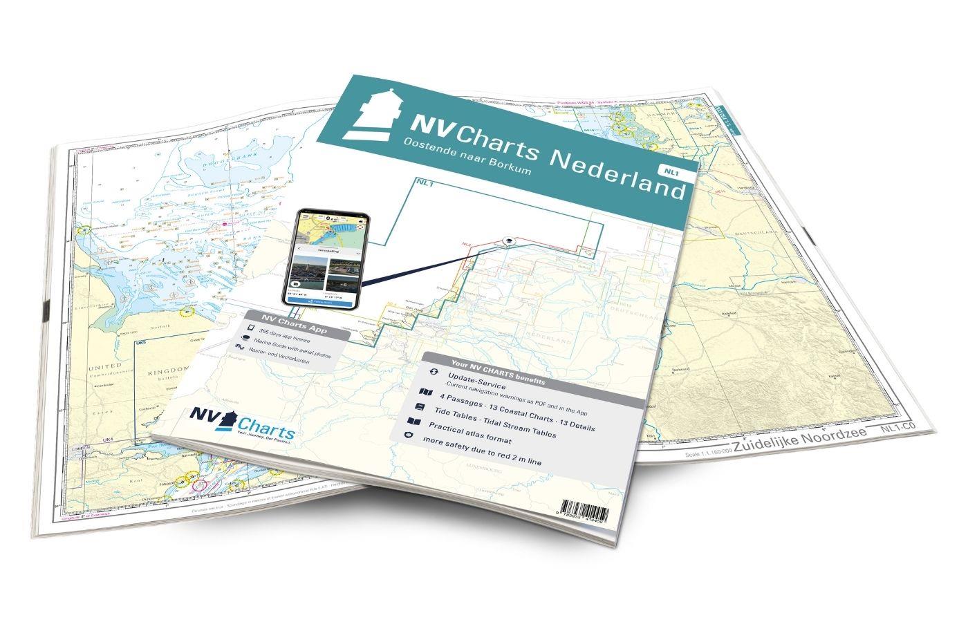
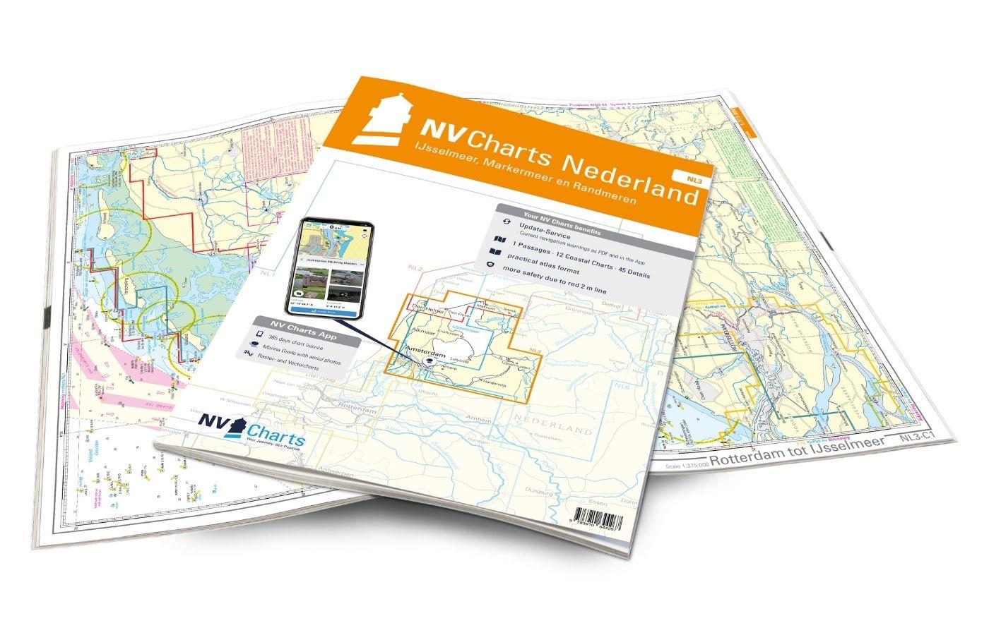
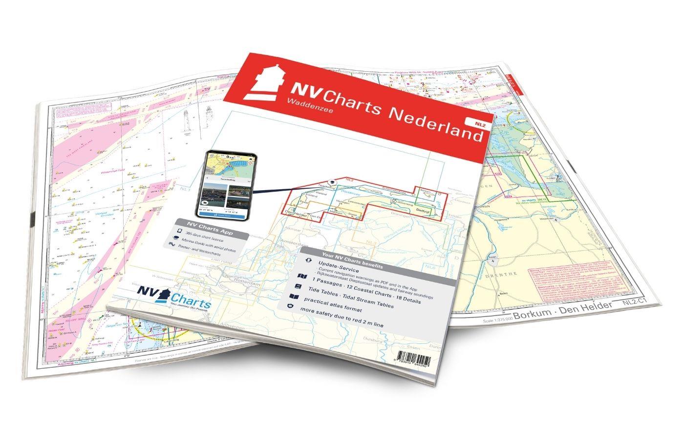
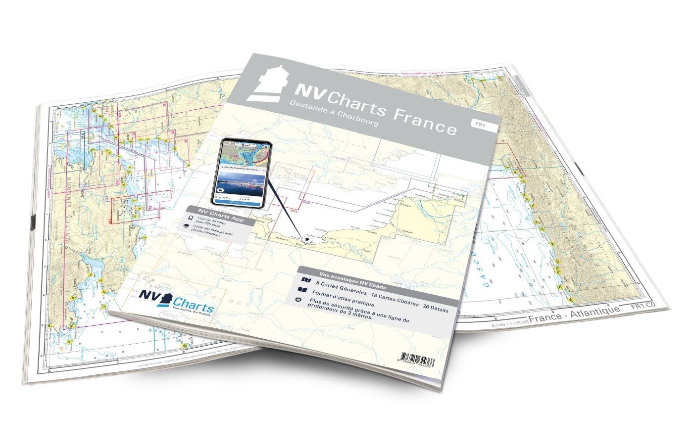
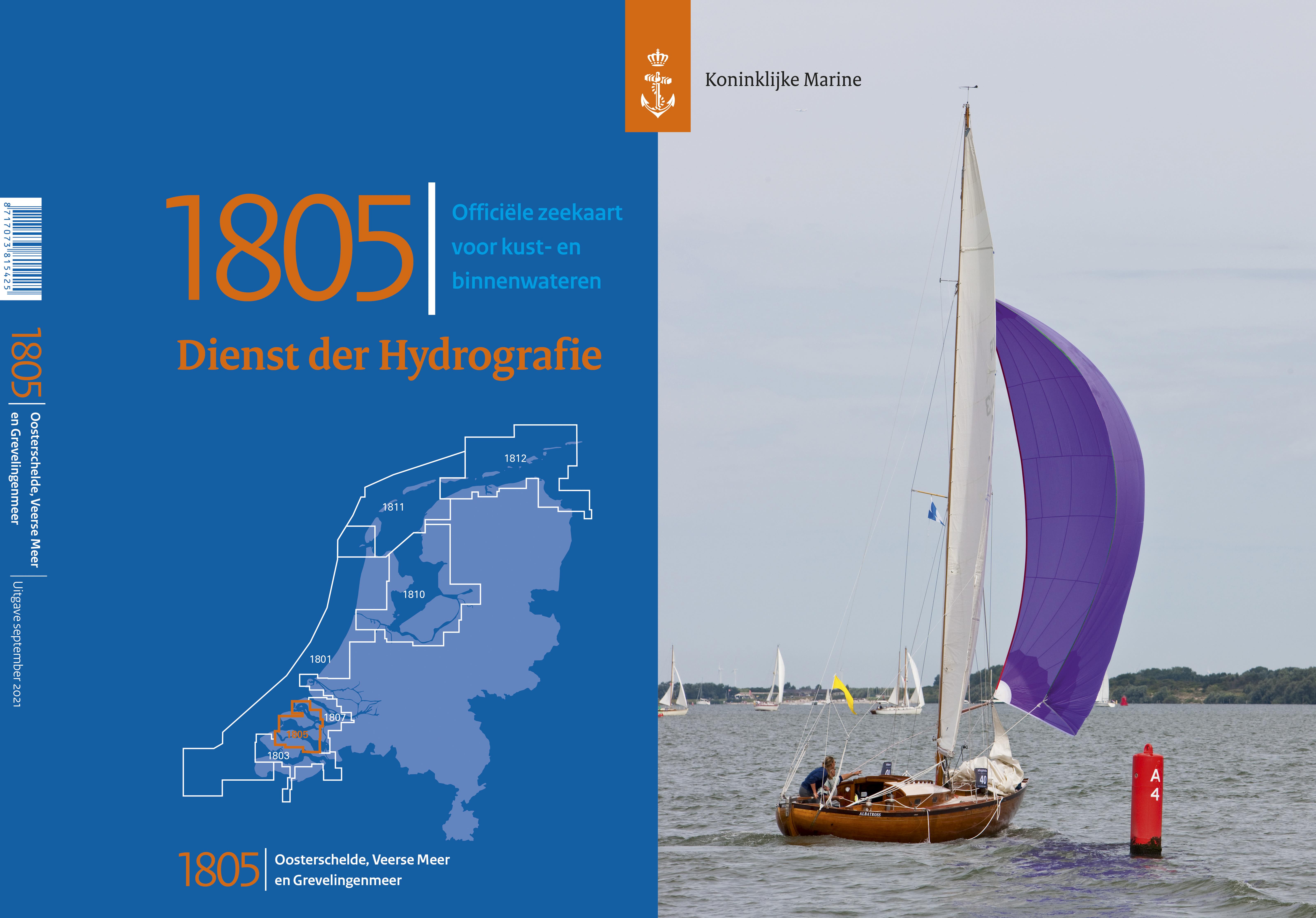
NV Charts Nederland NL5 - Ooster & Westerschelde
€64.99*
Description
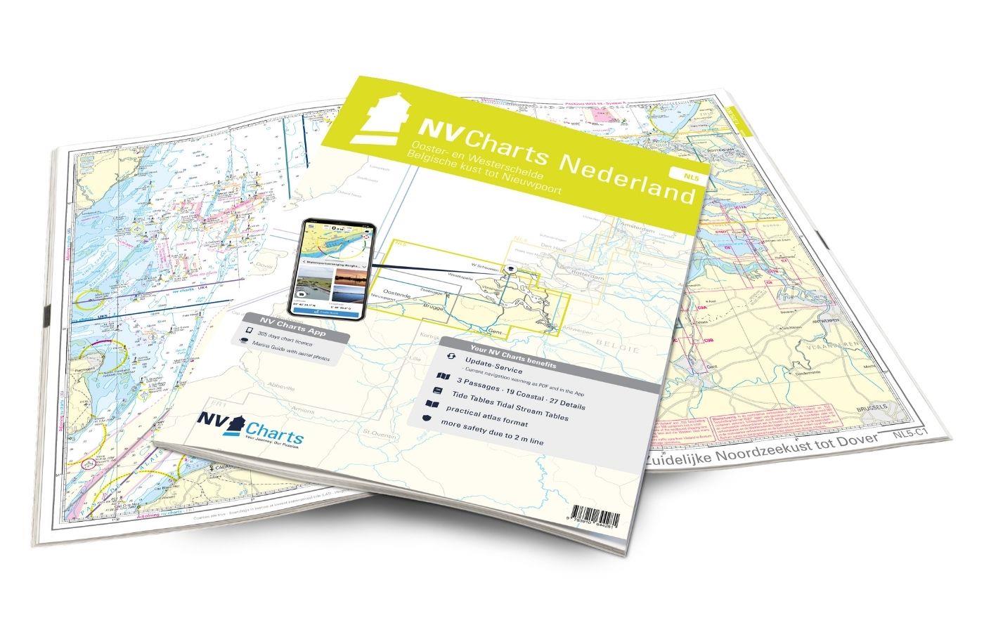
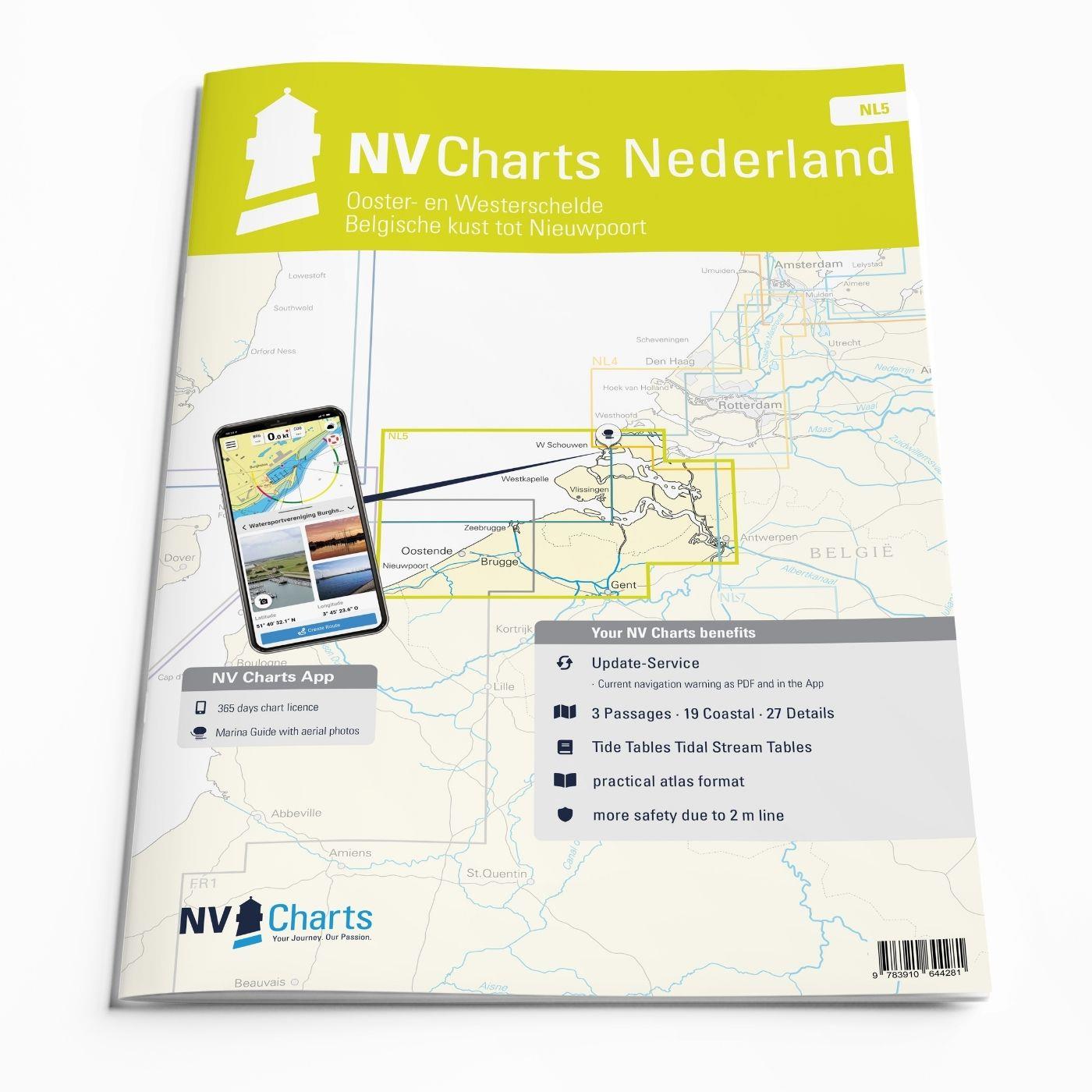
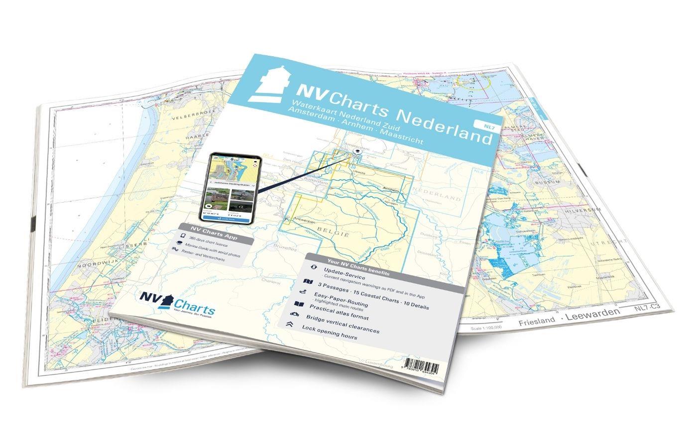
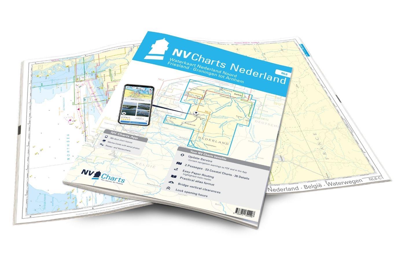
On your journey through the delta region Oosterschelde and Westerschelde the NV Charts Nederlend NL5 Atlas is the perfect travelling companion. The chart series, specially designed for recreational boating, contains the nautical charts in various sizes, as well as all harbour plans and details for approaches and passages in the waters. In addition, there are also passageways for bridges, power lines, etc., as well as all nautical and navigational information. Thanks to the clear layout, the recreational skipper can quickly find approaches, harbours and anchorages and is made aware of navigationally important details that also appear in the NV Charts app. The chart series impresses with its optimised dimensions and balanced sheet sections.
Regions overview
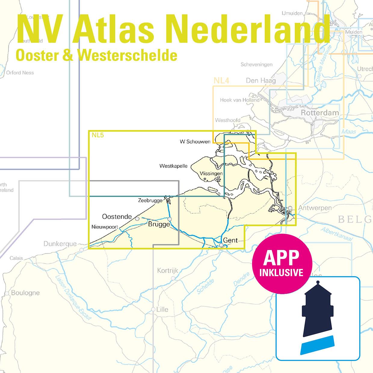
This varied and beautiful region is strongly characterised by tides and nature reserves. You should therefore familiarise yourself with the issue of tides and currents before setting off on your trip and bear in mind when planning your trip that access to some nature reserves is only permitted to a limited extent or even prohibited altogether. Anyone wishing to enter the cities of Ghent and Antwerp is well advised to use this atlas. However, attention should also be paid to freight traffic, especially when entering Antwerp. The relatively short coast of Belgium is also completely covered in the NL5. Here, too, the strong currents should not be underestimated. The three largest ports of Nieuwpoort, Zeebrugge and Oostende are located directly on the coast. Nieuwpoort, the sailing centre of Belgium, is well worth a visit.
The NV Charts NL4 is ideal for travelling north (for example to Amsterdam or Rotterdam). For onward journeys to French waters, we recommend the FR1, which starts at Ostend and extends to Cherbourg.
This map set includes
- 3 &sailors
- 19 district maps
- 27 detailed maps
- Tide calendar
- Digital charts for navigation programme and NV Charts App 356-day licence
- Current data in the digital charts
- Navigation instructions in German and Dutch
- Fulfils the legal requirements for up-to-date paper charts on board pleasure craft
All advantages at a glance
- NV Atlas chart format: Practical, handy atlas format, opened in A2, closed in A3 format, flat staple binding in the centre - makes it easy to work with the course triangle
- Always up-to-date: Updated edition every year, monthly correction service from April to October
- NV Charts App: including access code to the digital nautical charts of the purchased area in the NV Charts app with 365-day licence, for offline navigation with the app on iOS, Android, PC, Mac or in the web browser, comprehensive harbour manual
- Extremely detailed: Nautical charts based on data from official surveys and own surveys, particularly detailed outside the main fairways
- Optimised for recreational boating
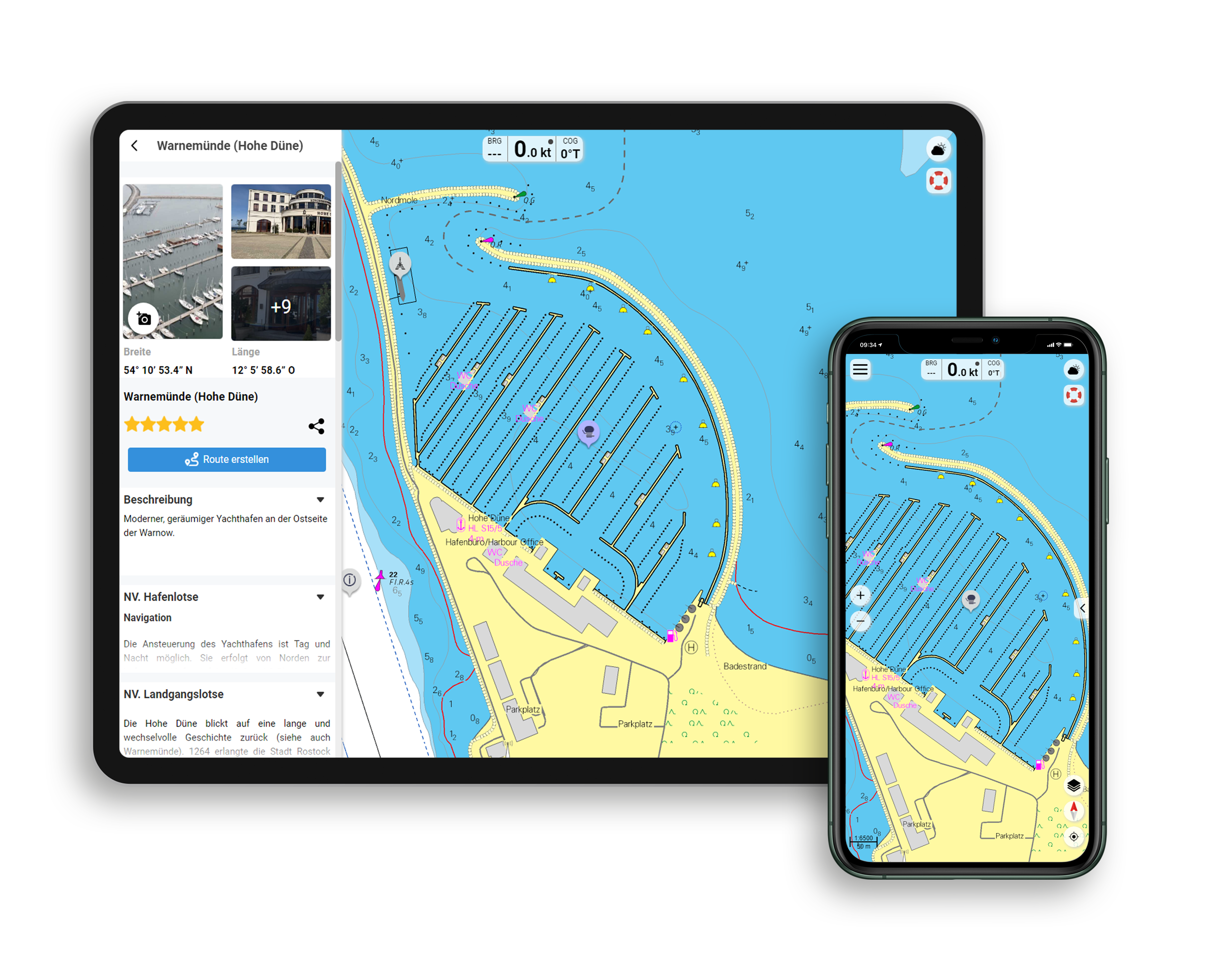
Functions of the NV Charts app
- Flexible autorouting
- Satellite overlay
- Augmented reality
- VMG (Velocity Made Good)
- BoatView harbour guide
- Track recording
- AIS connection and much more.
Charts and measures included
Übersegler
C1 Zuidelijke Noordzeekust tot Dover 1:375,000 , C2 Dunkerque tot Oostende 1:100,000 , C3 Oostende tot Westkapelle 1:100,000
District maps
C4 Westerschelde Monding 1:50,000 , C5A Oosterschelde Monding 1:50,000 , C5B Westerschelde - Vlissingen tot Braakman 1:50,000 , C6 Westerschelde - Braakman tot Turfplaten 1:50. 000 , C7 Westerschelde - Turfplaten tot Antwerpen 1:30.000 , C8 Antwerpen 1:30.000 , C9A-C Kanaal Gent - Terneuzen 1:30.000 , C9D Kanaal door Zuid-Beveland 1:25. 000 , C10D Kanaal door Walcheren 1:25.000 , C11 Veerse Meer West 1:20.000 , C12 Veerse Meer Oost 1:20.000 , C13 Oosterschelde West 1:45. 000 , C14 Oosterschelde - Mastgat - Krabbenkreek 1:30,000 , C15 Oosterschelde Oost 1:45,000 , C16D Schelde-Rijnverbinding - Zoommeer 1:25,000 , C17A-B Schelde-Rijnverbinding 1:25,000
Detailed maps
C10A Zeebrugge 1:25,000 , C10B Blankenberge 1:10,000 , C10C Zeebrugge 1:10,000 , C16A Nieuwpoort 1:20,000 , C16B Oostende 1:20,000 , C16C Cadzand Bad 1:8,000 , C18A Oostwatering 1:10. 000 , C18B Kamperland 1:10,000 , C18C Oranjeplaat 1:10,000 , C18D Bastiaan de Langeplaat 1:10,000 , C18E Kortgene - Wolphaartsdijk 1:10,000 , C18F Zandkeeksluis 1:10. 000 , C18G Veere 1:10.000 , C18H Middelburg 1:10.000 , C18J Vlissingen 1:10.000 , C18K Breskens 1:15.000 , C19A Burghsluis 1:10.000 , C19B Colijnsplaat 1:10.000 , C19C Roompotsluis 1:20. 000 , C19D Zierikzee 1:10,000 , C19E Goessche Sas 1:7,500 , C19F Stavenisse 1:10,000 , C19G Sint Annaland 1:7,500 , C20A Bruinisse 1:15,000 , C20B Yerseke 1:15,000 , C20C Tholen 1:10,000
| App License: | NV Charts App |
|---|---|
| Empfehlung: | Revierempfehlung Niederlande |
| Format: | NV Atlas, Gebundener Kartensatz |
| Purchase type: | One-time |
With the help of our area preview, you can get an impression of which geographical region the product deals with or which areas a nautical chart covers.
Related products to this item
Products near this article
Reviews
Login

