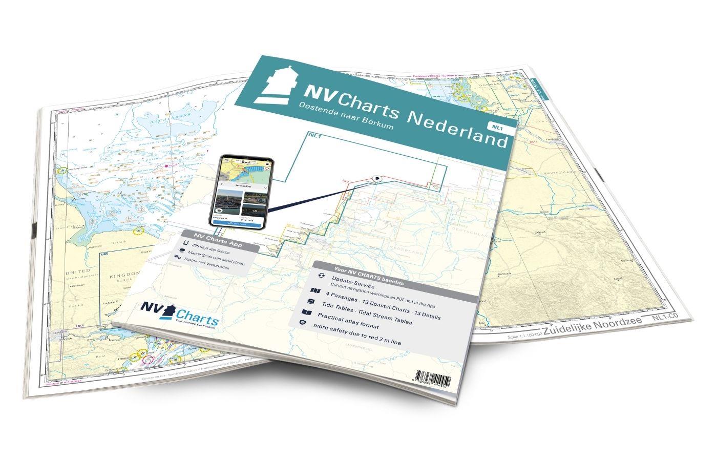
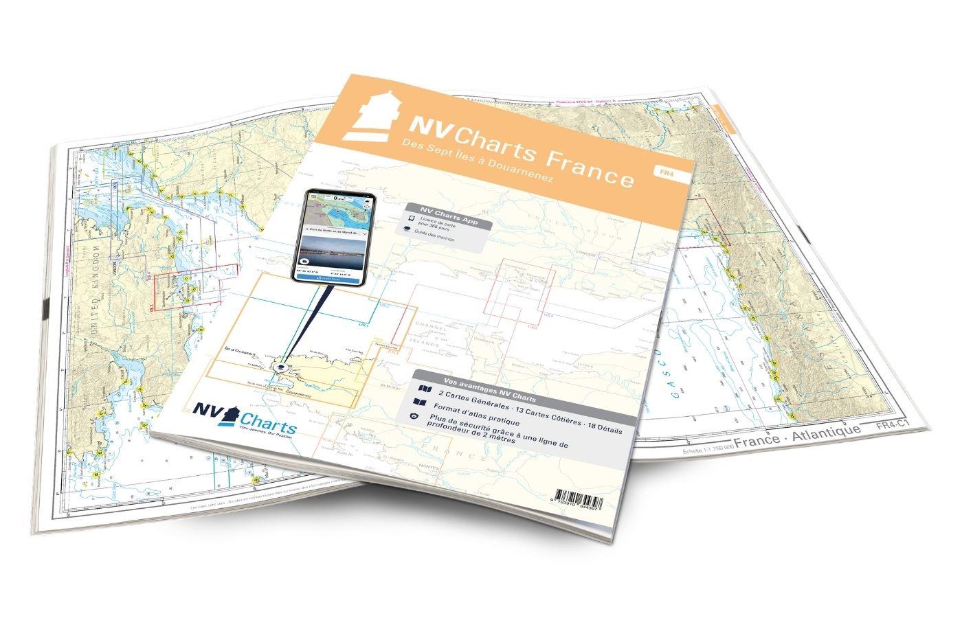
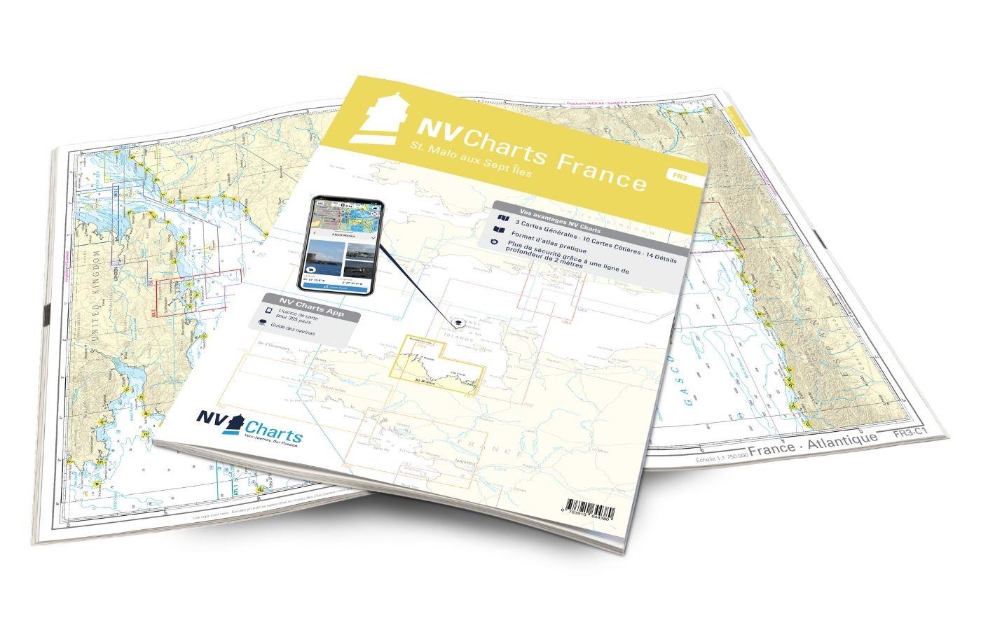
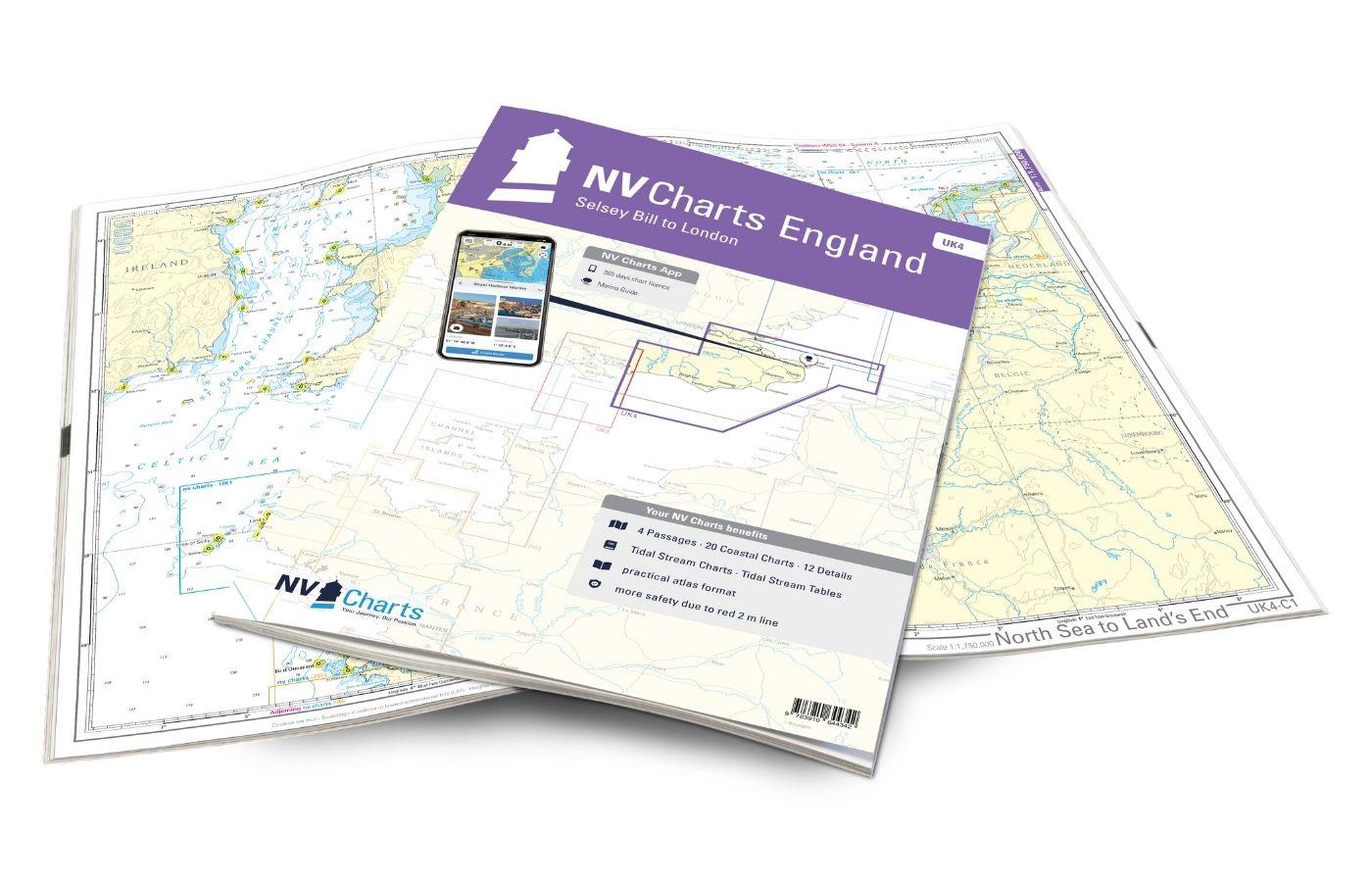
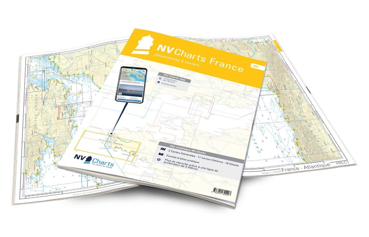
NV Charts France FR1 - Oostende à Cherbourg
Description
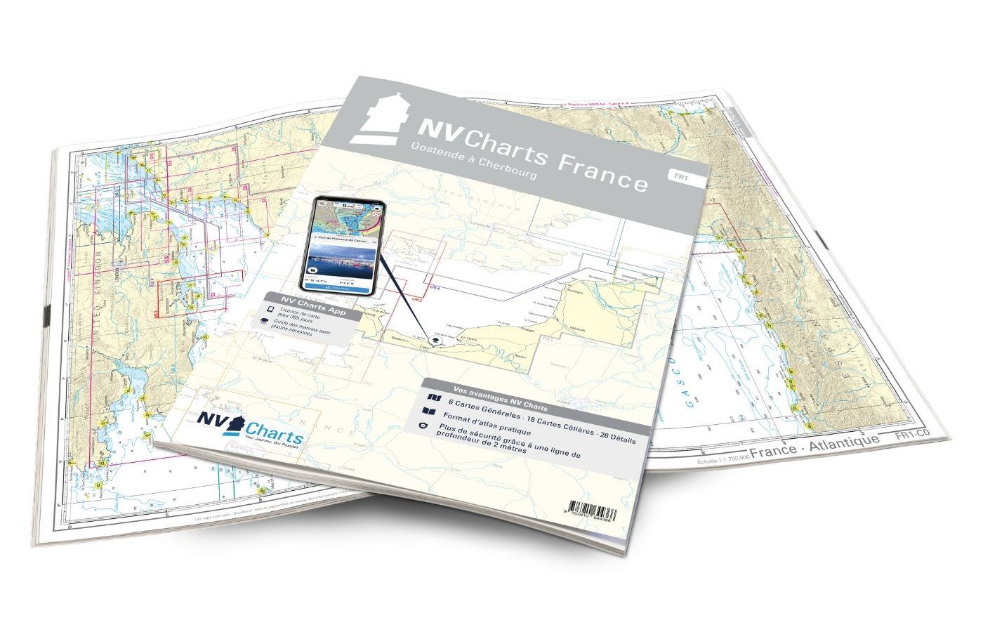
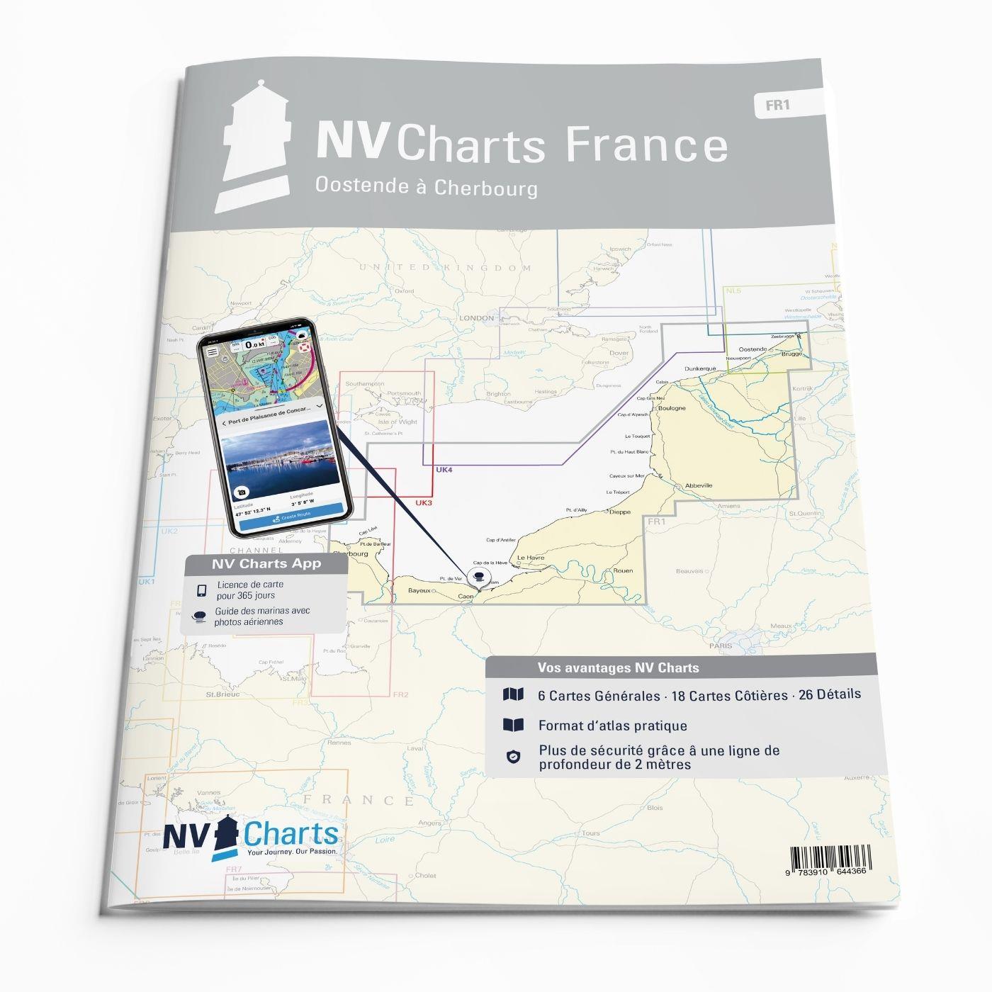
For water sports enthusiasts who want to explore the French canal coast, the NV Charts Atlas FR1 which accompanies you along the coast from Dunkirk (Dunkerque) to Cherbourg. Thanks to the clear layout, the recreational skipper can quickly find approaches, harbours and anchorages and is informed of navigationally important details that also appear in the NV Charts app. The chart series impresses with its optimised dimensions and balanced sheet sections.
Regions overview
This section of France is steeped in history and passes by towns worth seeing such as Boulogne, Dieppe and Cherbourg. There is also no shortage of beautiful sandy beaches and historical sites along this section of the coast. In Le Havre, the Seine flows into the Ärmel Canal and if you wish, you can travel on to Paris from here. The capital is only a good 2 hours away by train and the entire coastal region is a popular destination for Parisians.
As a recommendation for this map set, we recommend the NV Atlas FR2 to enjoy the beautiful landscape along the French coast and possibly make a detour to the Channel Islands.
This map set includes
- 6 &sailors
- 18 district maps
- 26 detailed maps
- Digital charts for navigation program and NV Charts App 356-day licence
- Navigation instructions in English and French
- Tide tables
- Harbour plans paper & digital
- Fulfils all legal requirements for up-to-date paper charts on board
All advantages at a glance
- NV Atlas chart format: Practical, handy atlas format, opened in A2, closed in A3 format, flat staple binding in the centre - makes it easy to work with the course triangle
- NV Charts app: including access code to the digital nautical charts of the purchased area in the NV Charts app with 365-day licence, for offline navigation with the app on iOS, Android, PC, Mac or in the web browser, comprehensive harbour manual
- Extremely detailed: Nautical charts based on data from official surveys and own surveys, particularly detailed outside the main fairways
- Optimised for recreational boating
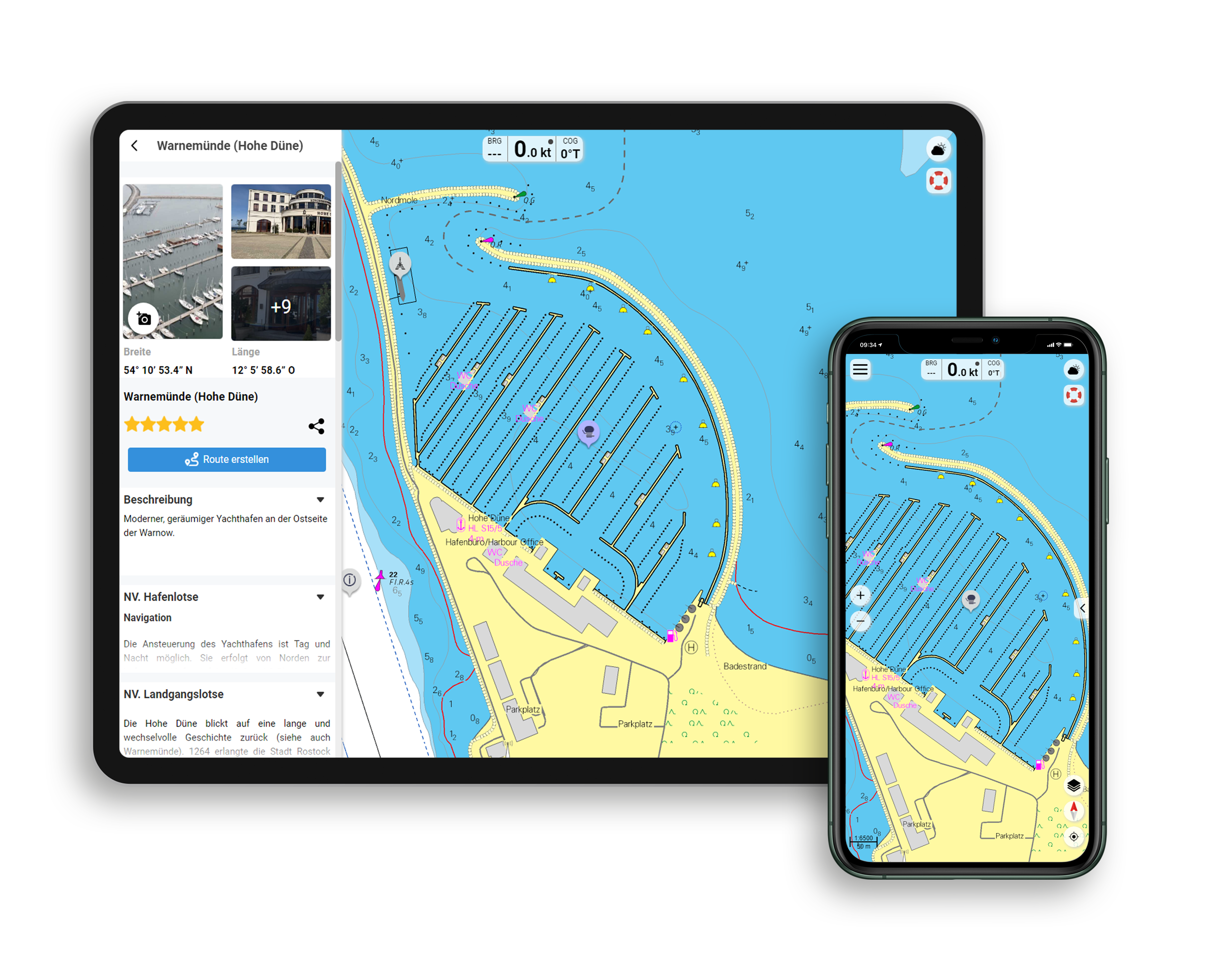
Functions of the NV Charts app
- Flexible autorouting
- Satellite overlay
- Augmented reality
- VMG (Velocity Made Good)
- BoatView harbour guide
- Track recording
- AIS connection and much more.
Charts and measures included
Übersegler
C1 France - Atlantique 1: 1,750,000 , C2 Normandie - Ouest 1: 350,000 , C3 Barfleur au Tréport 1: 350,000 , C4 Le Tréport à Oostende 1: 350,000
District maps
C5 Cherbourg à la Baie de Seine 1: 150,000 , C6 Baie de Seine au Cap d'Antifer 1: 150,000 , C7 Cap d' Antifer à Dieppe 1: 150,000 , C8 Dieppe à Vergoyer 1: 150. 000 , C9 Vergoyer à Calais 1: 150,000 , C10 Calais à Oostende 1: 150,000 , C11 Cap de la Hague au Cap Lévi 1: 60,000 , C12 Cap Lévi à la Pte. de Saire 1: 60,000 , C13 Pte. de Saire à la Maresquerie 1: 60,000 , C14 Ver-sur-Mer à la Rade de Caen 1: 60,000 , C15 Embouchure de la Seine 1: 60,000 , C16 La Seine - Honfleur 1: 60,000 , C17 La Seine à Rouen 1: 60. 000 , C18 Approches de Dunkerque 1: 75,000 , C19 Niewpoort à Zeebrugge 1: 100,000 , C25E-F Étaples / Approch de Calais 1: 45,000 , C26A Baie de Somme 1: 60,000
Detailed maps
C20 Cherbourg 1: 15,000 , C21A Omonville 1: 10,000 , C21B St.-Vaast-la-Hougue 1: 10,000 , C21C Carentan 1: 10,000 , C21D Barfleur 1: 10,000 , C21E Pte. de Saire à St.- Vaast-la-Hougue 1: 25,000 , C22A Grandcamp-Maisy 1: 15,000 , C22B Fécamp 1: 15,000 , C22C Courseulles-sur-Mer 1: 15,000 , C22D Dives-sur-Mer 1: 15,000 , C22E Port-en-Bessin 1: 15. 000 , C22F Port de Trouville-Deauville 1: 15,000 , C22G Rouen 1: 10,000 , C23 Caen 1: 20,000 , C23A Ouistreham 1: 20,000 , C24A Honfleur 1: 15,000 , C24B Le Havre 1: 10,000 , C25A Calais 1: 10,000 , C25B St.- Valéry-en-Caux 1: 15,000 , C25C Dieppe 1: 15,000 , C25D Le Tréport 1: 15,000 , C26B Boulogne-sur-Mer 1: 15,000 , C27A Dunkerque 1:20,000 , C27B Gravelines 1:20,000 , C27C Nieuwpoort 1:20,000 , C27D Oostende 1:20,000 General Notes C16 Legend C28 Tidal Stream Tables C28
| App License: | NV Charts App |
|---|---|
| Format: | NV Atlas, Gebundener Kartensatz |
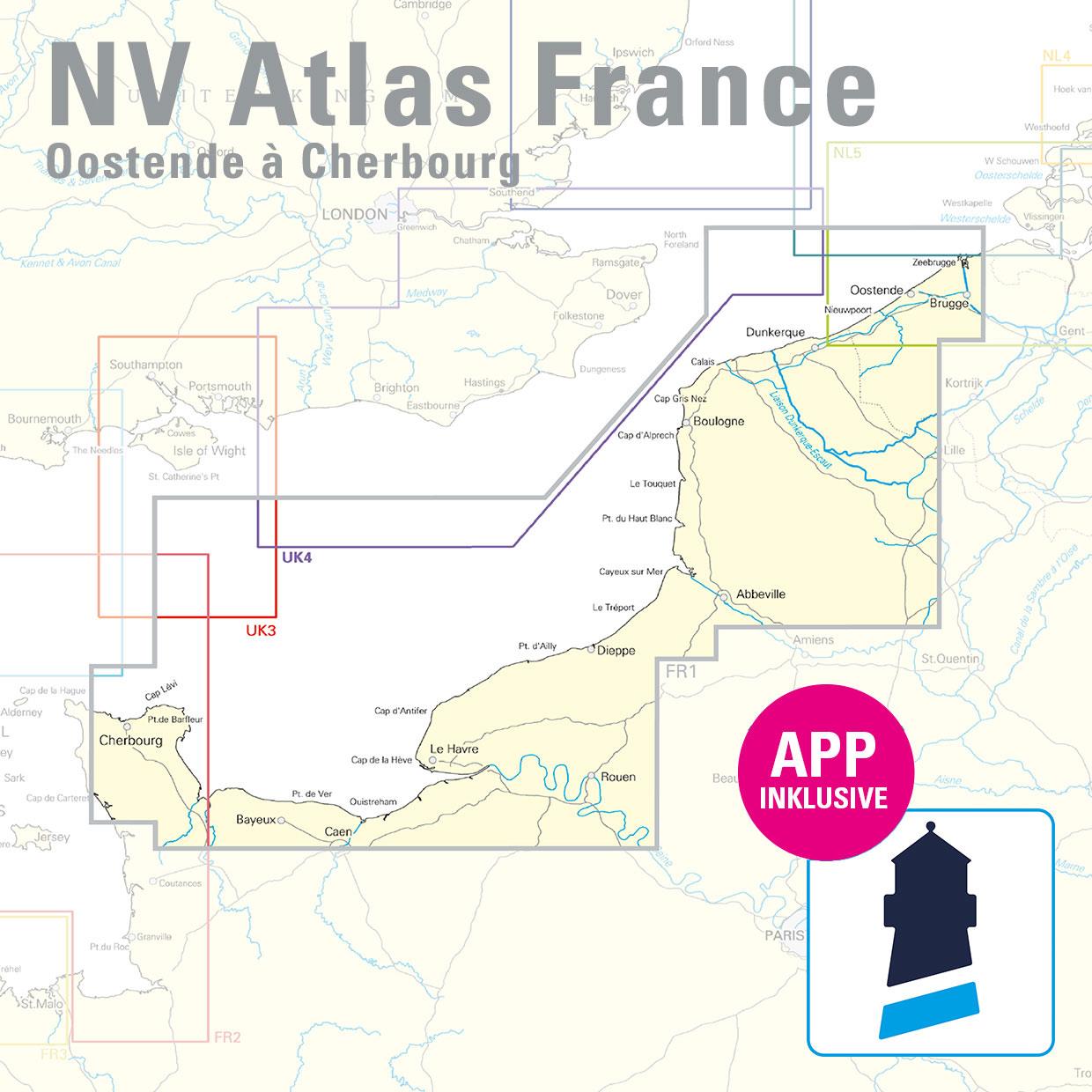
With the help of our area preview, you can get an impression of which geographical region the product deals with or which areas a nautical chart covers.
Related products to this item
Products near this article
Reviews
Login

